
To capture 3D building images from sky to screen, you'll need a high-quality drone with GPS and a high-resolution camera. Plan your flights carefully, adhering to FAA regulations and using specialized software for efficient routes. Capture data through aerial photography, LiDAR, and terrestrial photogrammetry. Process your images with software like Agisoft Metashape or Pix4D to generate detailed 3D models. Choose rendering tools that suit your project's needs, from powerful software like Autodesk 3ds Max to real-time engines like Unreal. Consider cloud-based solutions for streamlined workflows. By mastering each step of this process, you'll reveal the full potential of 3D building imaging.
Drone Equipment for 3D Mapping
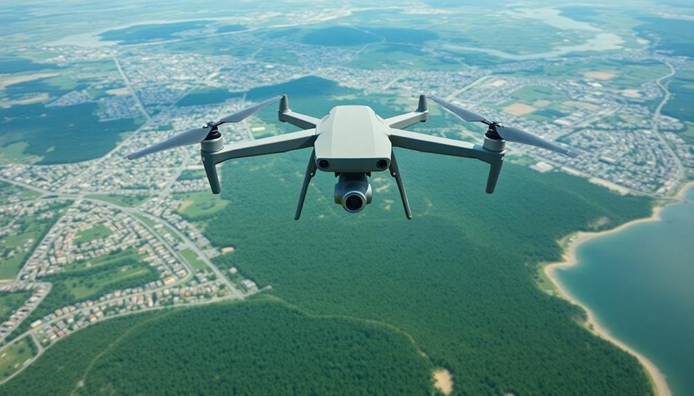
To effectively capture 3D images of buildings, you'll need the right drone equipment. Start with a high-quality drone that offers stability and precise control. Look for models with GPS positioning, obstacle avoidance, and long flight times. The DJI Phantom 4 Pro or Mavic 2 Pro are excellent choices for 3D mapping.
Your drone should be equipped with a high-resolution camera, preferably 20MP or higher. Verify it has a global shutter to prevent distortion during movement. A gimbal is vital for maintaining camera stability and capturing sharp images.
You'll also need specialized software for flight planning and image processing. Pix4D Capture or DroneDeploy are popular options for creating automated flight paths. These apps help you maintain consistent altitude and overlap between images, which is essential for accurate 3D reconstruction.
Don't forget additional batteries, as 3D mapping missions can be time-consuming. A rugged carrying case will protect your equipment during transport.
Flight Planning and Regulations
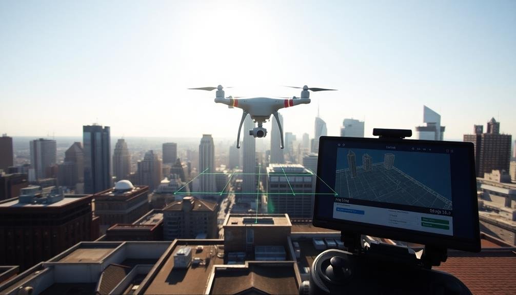
Before you take off for your 3D building imaging mission, you'll need to map out a solid flight plan and brush up on local regulations. Start by determining your flight area and identifying any obstacles or restricted zones. Use flight planning software to create an efficient route that guarantees complete coverage of the building.
Check local laws regarding drone usage, as regulations vary by location. In the US, you'll need to register your drone with the FAA and obtain proper certifications. Be aware of airspace restrictions and obtain necessary permissions if flying in controlled areas.
Here's a quick reference for common flight regulations:
| Regulation | US | EU |
|---|---|---|
| Max Altitude | 400 ft | 120 m |
| VLOS Required | Yes | Yes |
| Night Flying | With waiver | With permission |
When planning your flight, consider factors like weather conditions, time of day, and battery life. Confirm you have enough power to complete the mission safely. Set up ground control points for improved accuracy in your 3D model. Always prioritize safety and be prepared to abort the mission if conditions become unfavorable or unexpected obstacles arise.
Data Capture Techniques
Several key data capture techniques are essential for successful 3D building imaging.
You'll want to start with aerial photography, using a drone equipped with a high-resolution camera. Fly in a grid pattern, capturing overlapping images from various angles and altitudes. This guarantees thorough coverage of the building's exterior.
Next, consider using LiDAR (Light Detection and Ranging) technology. It emits laser pulses to measure distances and create precise 3D point clouds. LiDAR can capture intricate details that might be missed by traditional photography.
For interior spaces, you'll need to employ terrestrial photogrammetry. Walk through the building, taking overlapping photos of each room and corridor. Use a 360-degree camera for more efficient coverage.
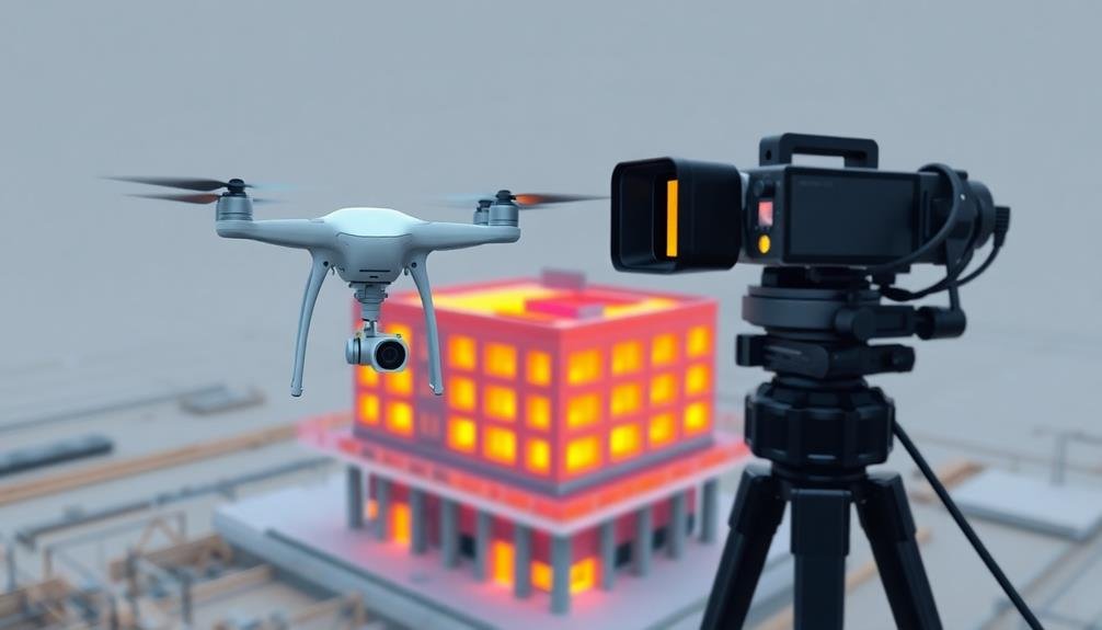
Don't forget about thermal imaging. It can reveal hidden structural issues or energy inefficiencies. Combine it with your visual data for a more thorough analysis.
Lastly, integrate GPS data with your captures. This helps in georeferencing your 3D model, guaranteeing accurate positioning and scale.
Image Processing Software
When processing your 3D building images, you'll need reliable software to handle the data.
Consider popular options like Agisoft Metashape, Pix4D, and RealityCapture, each offering unique strengths for different project needs.
Compare key features such as automation levels, processing speed, and output formats to determine which software best suits your specific requirements.
Popular Software Options
Numerous software options are available for processing 3D building images, each catering to different needs and skill levels. You'll find solutions ranging from user-friendly platforms for beginners to advanced tools for professionals. Some popular choices include Pix4D, Agisoft Metashape, and DroneDeploy.
When selecting software, evaluate factors like ease of use, processing speed, and output quality. Here's a comparison of some top options:
| Software | Ease of Use | Processing Speed | Output Quality |
|---|---|---|---|
| Pix4D | Moderate | Fast | High |
| Agisoft Metashape | Advanced | Moderate | Very High |
| DroneDeploy | Easy | Fast | Good |
| RealityCapture | Advanced | Very Fast | Excellent |
You'll also want to assess your budget, as pricing can vary considerably. Some software offers subscription models, while others require one-time purchases. Don't forget to check for free trials, allowing you to test the software before committing. Remember, the best choice depends on your specific project requirements and technical expertise.
Key Features Comparison
Comparing key features of image processing software helps you make an informed decision for your 3D building imaging needs.
When evaluating different options, focus on these vital aspects:
Photogrammetry algorithms: Look for software with advanced algorithms that can accurately reconstruct 3D models from 2D images. Some programs offer better performance with complex structures or varying lighting conditions.
Point cloud generation: Check the software's ability to create dense, high-quality point clouds. This feature is fundamental for detailed 3D reconstructions.
Mesh creation and editing: Assess the tools available for generating and refining 3D meshes. You'll want options for smoothing, hole-filling, and texture mapping.
Georeferencing capabilities: If you're working with aerial imagery, verify the software can accurately place your 3D models in real-world coordinates.
Automation and batch processing: Consider how much of the workflow can be automated, saving you time on large projects.
Export formats: Confirm that the software supports the file formats you need for your intended applications.
User interface and learning curve: Evaluate the software's ease of use and available learning resources.
Hardware requirements: Check if your current setup meets the software's specifications for peak performance.
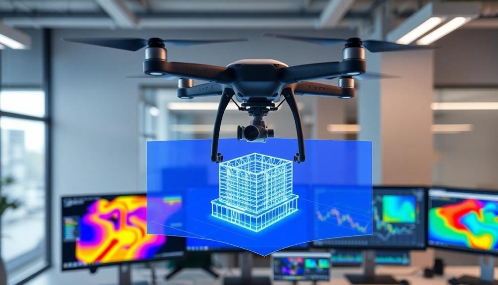
3D Model Generation Methods

3D model generation methods form the backbone of building imaging technology. These techniques transform raw data into detailed digital representations of buildings. You'll encounter several approaches, each with its strengths and applications.
Photogrammetry is a popular method where you'll use multiple 2D images to create 3D models. By analyzing overlapping photos from various angles, software can reconstruct the building's geometry. This technique works well for exterior modeling and is cost-effective.
LiDAR scanning offers high precision by using laser pulses to measure distances. You'll find this method particularly useful for capturing intricate architectural details and creating accurate interior models. It's more expensive but provides superior accuracy.
Structure from Motion (SfM) combines elements of photogrammetry with computer vision algorithms. You'll benefit from its ability to work with unordered image collections, making it flexible for various scenarios.
For simpler projects, you might opt for manual modeling using CAD software. While time-consuming, it gives you full control over the final output.
Each method has its place, and you'll often combine techniques to achieve the best results for your specific building imaging project.
Rendering and Visualization Tools

Once you've generated your 3D building model, you'll need powerful tools to bring it to life visually. Several software options can help you render and visualize your 3D building models with stunning realism.
Industry-standard tools like Autodesk 3ds Max and Maya offer extensive rendering capabilities, allowing you to add textures, lighting, and atmospheric effects. For architectural visualization, V-Ray and Corona Renderer are popular plug-ins that produce photorealistic results.
If you're looking for real-time rendering, Unreal Engine and Unity provide game-engine technology for interactive walkthroughs.
For those preferring open-source solutions, Blender offers a robust set of rendering tools, including its built-in Cycles engine. SketchUp users can leverage extensions like V-Ray or Enscape for enhanced visualization.
Cloud-based platforms like Lumion and Twinmotion streamline the rendering process, offering libraries of assets and presets for quick, high-quality visualizations. These tools often integrate well with CAD software, allowing for seamless workflow between modeling and rendering stages.
When choosing a rendering tool, consider your project requirements, hardware capabilities, and learning curve. Many offer free trials, so you can test their features before committing.
Frequently Asked Questions
How Long Does It Take to Learn 3D Building Imaging Techniques?
You'll find that learning 3D building imaging techniques varies greatly. It can take anywhere from a few months to several years, depending on your dedication, prior experience, and the specific techniques you're mastering. Start with basic software tutorials.
What Are the Career Prospects in the Field of Drone-Based 3D Mapping?
You'll find promising career prospects in drone-based 3D mapping. As technology advances, demand is growing across industries like construction, real estate, and urban planning. You can expect job opportunities as a drone operator, data analyst, or mapping specialist.
Can 3D Building Models Be Used for Virtual Reality Applications?
Yes, you can definitely use 3D building models in virtual reality applications. They'll allow you to create immersive environments for various purposes like architectural visualization, real estate tours, urban planning, and even virtual tourism experiences.
How Accurate Are 3D Building Models Compared to Traditional Surveying Methods?
You'll find 3D building models can be highly accurate, often rivaling traditional surveying methods. They're especially precise when using advanced technologies like LiDAR. However, accuracy can vary depending on the modeling technique and data quality used.
What Are the Potential Legal Issues Surrounding 3D Imaging of Private Properties?
You'll face potential privacy concerns when 3D imaging private properties. You're risking trespassing charges if you enter without permission. You'll also need to contemplate copyright issues and potential misuse of the captured data.
In Summary
You've now got the tools to transform aerial imagery into stunning 3D building models. Remember to choose the right drone, plan your flights carefully, and master data capture techniques. Don't forget to explore various software options for processing and modeling. With practice, you'll create impressive 3D visualizations that bring buildings to life on screen. Keep experimenting and refining your skills – you're on your way to becoming a 3D mapping expert!
As educators and advocates for responsible drone use, we’re committed to sharing our knowledge and expertise with aspiring aerial photographers.


Leave a Reply