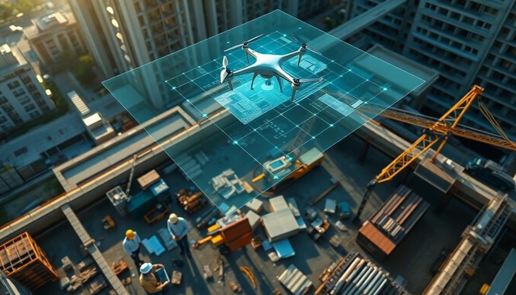
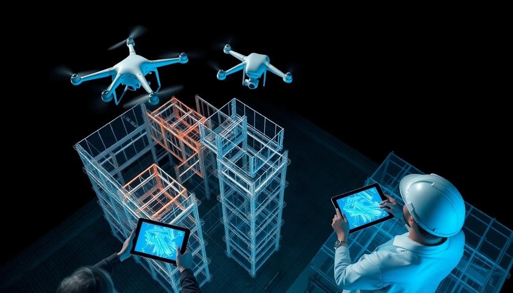
Drones offer unparalleled benefits for 3D construction site modeling. You'll gain enhanced site visualization with high-resolution imagery and virtual walkthroughs. They're cost-effective, saving time and money compared to traditional methods. Safety improves as drones reduce worker exposure to hazards. You'll get accurate volumetric calculations and real-time progress monitoring. They streamline project planning and resource allocation, while providing precise measurements and environmental impact assessments. Drones create digital twins for better collaboration and offer powerful stakeholder communication tools. With these advantages, you're equipped to revolutionize your construction processes and boost project efficiency. Explore further to reveal the full potential of drone technology in construction.
Enhanced Site Visualization
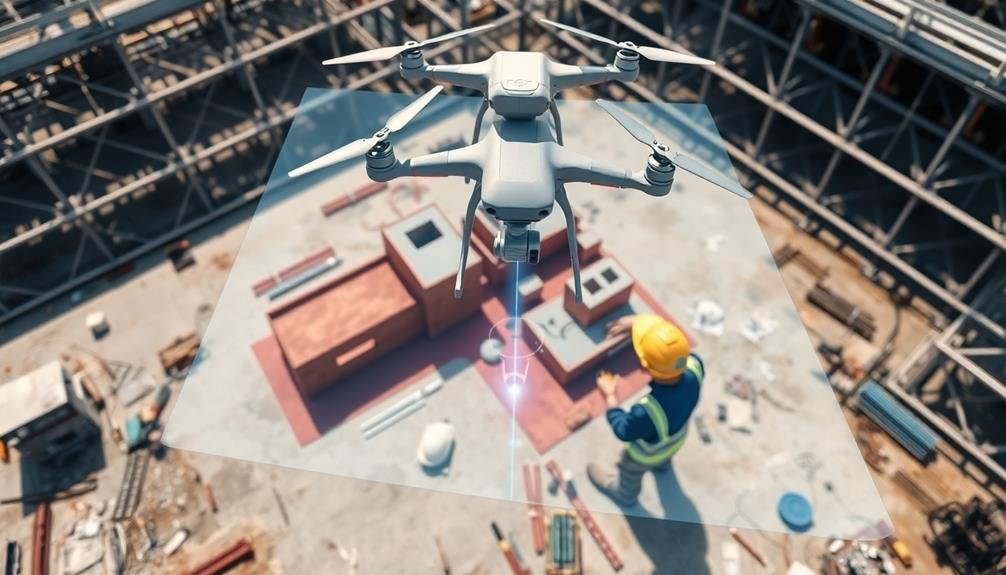
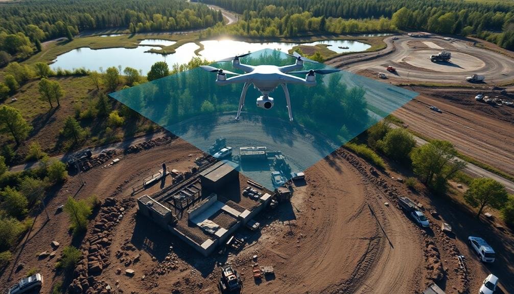
While traditional site surveys provide limited perspectives, drones equipped with high-resolution cameras offer a game-changing approach to construction site visualization. You'll gain unparalleled views of your project from various angles and altitudes, allowing you to spot potential issues that might be missed from ground level.
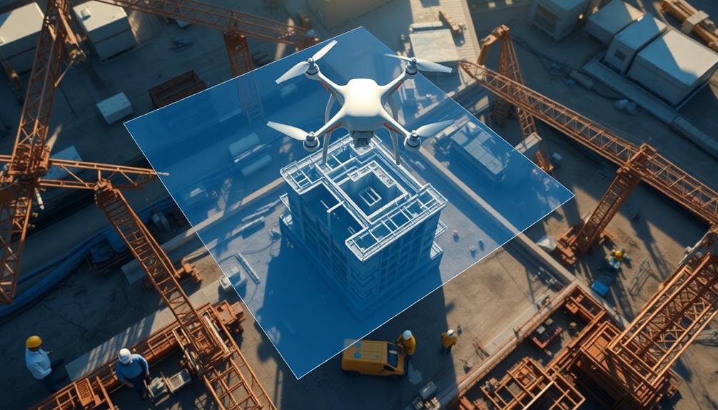
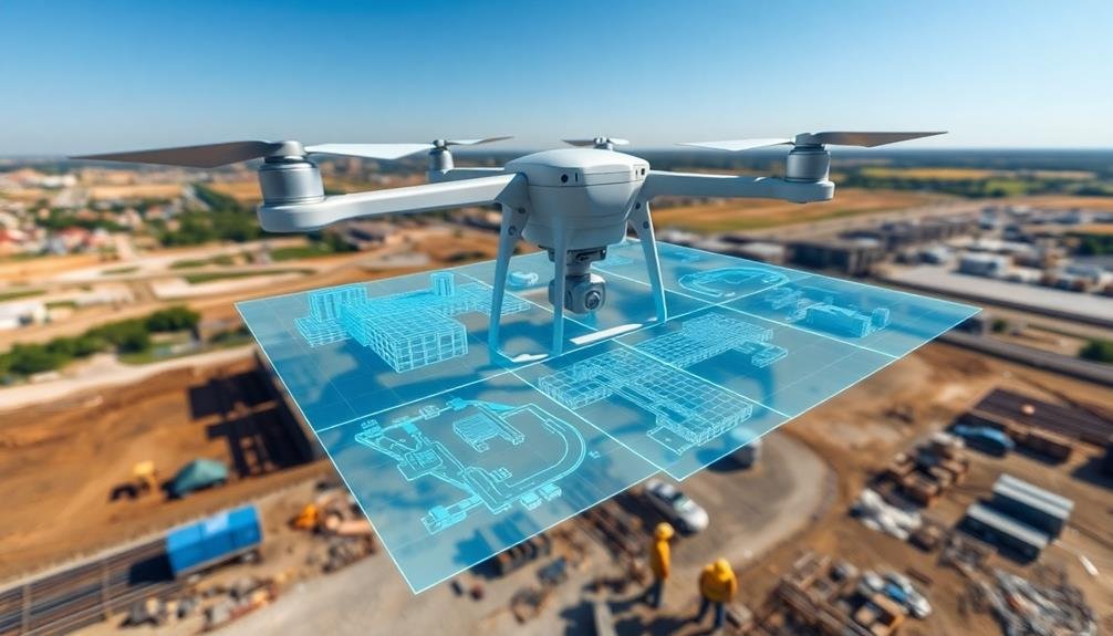
With drone-captured imagery, you can create detailed 3D models of your construction site. These models give you a thorough understanding of the terrain, existing structures, and ongoing work. You'll be able to zoom in on specific areas, rotate the model, and even take virtual walkthroughs, all from the comfort of your office.
This enhanced visualization helps you make more informed decisions about site layout, equipment placement, and resource allocation. You can easily identify bottlenecks, safety hazards, and inefficiencies in your workflow.
Plus, you'll have a powerful tool for communicating project progress to stakeholders, clients, and team members. They'll appreciate the clear, visual representation of the site's current state and planned developments.
Cost-Effective Data Collection
Many construction managers are surprised to learn how cost-effective drone-based data collection can be. When you compare it to traditional surveying methods, drones offer significant savings in both time and money.
You'll find that a single drone operator can cover large areas quickly, reducing labor costs and minimizing disruptions to ongoing work.
Drones equipped with high-resolution cameras and LiDAR sensors can gather vast amounts of data in a single flight. This efficiency translates to cost savings in several ways:
- Reduced manpower: You'll need fewer personnel on the ground, lowering labor expenses.
- Faster data collection: Drones can survey an entire site in hours, not days or weeks.
- Increased frequency: You can afford more frequent surveys, leading to better project tracking.
- Minimal site disruption: There's no need to halt construction activities for data collection.
Time-Saving Survey Techniques
In light of the fast-paced construction industry, drone-based survey techniques are revolutionizing how quickly you can gather site data. You'll find that drones can cover large areas in a fraction of the time it takes for traditional ground-based surveys.
With a pre-programmed flight path, you can capture high-resolution imagery of your entire site in just hours, not days or weeks.
You'll save time on data processing too. Drone-captured images can be quickly stitched together using photogrammetry software, creating accurate 3D models almost instantly. This rapid turnaround allows you to make informed decisions faster and keep your project on schedule.
Drones also enable you to conduct frequent surveys with minimal disruption to ongoing work. You can easily monitor progress, track changes, and identify potential issues before they become costly problems.
By integrating drone surveys into your workflow, you'll streamline your project management process and reduce the time spent on manual inspections.
Moreover, you can access hard-to-reach areas safely and quickly, eliminating the need for time-consuming scaffolding or specialized equipment. This efficiency translates directly into time savings across your entire project timeline.
Improved Safety Measures
You'll find that using drones for 3D construction site modeling considerably reduces on-site accidents.
By deploying drones, you can remotely identify potential hazards without putting workers at risk.
This aerial perspective allows you to spot dangers that might be missed from ground level, enabling proactive safety measures before accidents occur.
Reduced On-Site Accidents
Thanks to drones, construction sites are becoming notably safer for workers. By utilizing drones for 3D modeling and site inspections, you'll greatly reduce the need for personnel to physically access hazardous areas. This decrease in on-site presence naturally leads to fewer accidents and injuries.
Drones can help you minimize risks in several ways:
- Identifying potential hazards: Drones can spot safety issues that might be overlooked during ground-level inspections.
- Monitoring progress: Regular aerial surveys allow you to track changes and identify emerging risks before they become dangerous.
- Evaluating structural integrity: Drones can inspect hard-to-reach areas, reducing the need for workers to climb or use scaffolding.
- Emergency response: In case of an incident, drones can quickly survey the area and guide rescue efforts.
Remote Hazard Identification
Identifying potential hazards remotely is one of the most significant safety improvements drones bring to construction sites. With drones, you can spot dangers before sending workers into potentially risky areas.
You'll be able to inspect hard-to-reach places like rooftops, tall structures, and unstable terrain without putting anyone at risk. Drones equipped with high-resolution cameras and thermal imaging technology allow you to detect structural weaknesses, electrical issues, or gas leaks from a safe distance.
You can identify unstable soil conditions, potential cave-ins, or areas prone to falling debris. This early detection helps you implement preventive measures before accidents occur.
You'll also be able to monitor ongoing work processes for safety compliance. Drones can capture real-time footage of workers' adherence to safety protocols, proper equipment usage, and correct positioning of safety barriers.
This remote monitoring enables quick interventions when unsafe practices are observed.
Accurate Volumetric Calculations
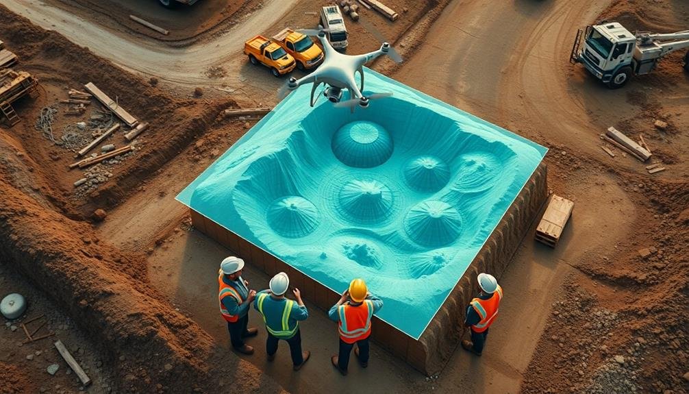
One of the most valuable applications of drone-based 3D modeling in construction is accurate volumetric calculations. You'll find this feature particularly useful when dealing with earthworks, stockpiles, and excavations. By using drones to capture high-resolution imagery and create detailed 3D models, you can quickly and precisely measure volumes of materials on your construction site.
This technology offers several advantages over traditional methods:
- Time-saving: You'll drastically reduce the time spent on manual measurements and calculations.
- Increased accuracy: Drone-based models provide a level of precision that's difficult to achieve with ground-based methods.
- Improved safety: You'll minimize the need for workers to climb stockpiles or enter potentially hazardous areas.
- Real-time updates: You can easily track changes in material volumes over time, helping you manage resources more effectively.
With accurate volumetric calculations, you'll be able to optimize your material management, reduce waste, and improve project planning.
You can make informed decisions about material ordering, track progress more effectively, and even use the data for billing purposes. This level of precision and efficiency can lead to significant cost savings and improved project outcomes.
Real-Time Progress Monitoring
Beyond accurate volumetric calculations, drones offer another notable advantage in construction site management: real-time progress monitoring. You can now track your project's advancement with unprecedented ease and frequency. Drones equipped with high-resolution cameras capture detailed aerial imagery of your site daily or weekly, allowing you to compare current conditions with your project timeline and plans.
You'll spot potential delays or issues early, enabling quick interventions. For example, you might notice material shortages, equipment placement problems, or unexpected site conditions that could hinder progress. With this information, you can adjust schedules, reallocate resources, or address challenges before they escalate.
Real-time monitoring also enhances communication with stakeholders. You can share up-to-date visuals and progress reports with clients, investors, and team members, keeping everyone informed and aligned. This transparency builds trust and facilitates smoother decision-making processes.
Moreover, you'll create a thorough visual record of your project's evolution. This documentation proves invaluable for dispute resolution, quality control, and future project planning.
Streamlined Project Planning
Drone-generated 3D models enable you to conduct accurate site assessments before breaking ground, giving you an extensive view of the terrain and potential challenges.
You'll be able to plan more effectively, anticipating issues and optimizing resource allocation based on precise spatial data.
As construction progresses, these models provide visual progress tracking, allowing you to compare actual progress against planned milestones and make timely adjustments to keep your project on schedule.
Accurate Site Assessments
Accurate site assessments through drone-captured 3D models revolutionize project planning in construction. You'll gain a thorough understanding of the site's topography, existing structures, and potential obstacles.
These detailed models allow you to make informed decisions and mitigate risks before breaking ground.
With drone-generated 3D models, you can:
- Measure distances, volumes, and elevations with centimeter-level accuracy
- Identify and address site challenges early in the planning process
- Visualize the project in its actual environment for better design integration
- Track changes over time by comparing models from different dates
You'll save time and resources by reducing the need for multiple site visits. Instead, you can access up-to-date site information from your office, sharing it easily with stakeholders and team members.
This remote access is particularly valuable for large or hard-to-reach sites.
Visual Progress Tracking
As construction progresses, visual progress tracking becomes an invaluable tool for streamlined project planning. With drones, you'll capture high-resolution imagery and video footage of your entire site, allowing you to monitor progress in real-time. You can easily compare current site conditions to your project timeline, identifying delays or areas that need attention.
Drone-based visual tracking offers several advantages over traditional methods:
| Benefits | Explanations |
|---|---|
| Frequency | Daily or weekly updates |
| Coverage | Complete site overview |
| Accuracy | Precise measurements |
| Accessibility | Safe monitoring of hazardous areas |
| Integration | Seamless incorporation with BIM |
By implementing drone technology for visual progress tracking, you'll enhance communication among stakeholders. Share detailed reports, annotated images, and 3D models with clients, contractors, and team members. This transparency helps prevent misunderstandings and keeps everyone aligned on project goals.
You'll also improve decision-making by quickly identifying potential issues or deviations from the plan. With up-to-date visual data, you can proactively address challenges, reallocate resources, and adjust timelines as needed. This agility guarantees your project stays on track and within budget, maximizing efficiency throughout the construction process.
Efficient Resource Allocation
The insight gained from 3D models enables project managers to allocate resources with unprecedented efficiency. You'll be able to optimize your workforce, equipment, and materials based on accurate, up-to-date site information.
By analyzing the 3D model, you can identify areas that require immediate attention and redistribute resources accordingly. This proactive approach minimizes downtime and guarantees that your project stays on schedule.
With drone-generated 3D models, you'll have a powerful tool for efficient resource allocation. Here's how you can leverage this technology:
- Identify bottlenecks: Pinpoint areas where work is slowing down and allocate additional resources to keep the project moving.
- Optimize equipment placement: Determine the best locations for cranes, excavators, and other heavy machinery to maximize productivity.
- Streamline material delivery: Plan precise delivery routes and storage areas based on the current site layout.
- Balance workload: Assign tasks to your team members more effectively by visualizing the entire site and understanding each area's requirements.
Precise Measurement Capabilities
Drone-generated 3D models don't just help with resource allocation; they also offer unparalleled precision in measurements. You'll find that these advanced tools can capture intricate details of your construction site with millimeter-level accuracy. This precision allows you to make informed decisions about structural integrity, material quantities, and project timelines.
With drone-based 3D modeling, you can easily measure distances, volumes, and areas without physically accessing dangerous or hard-to-reach locations. You'll be able to calculate earthwork volumes, track progress on excavations, and verify building dimensions with remarkable accuracy. This technology also enables you to detect potential issues early on, such as discrepancies between plans and actual construction.
The precise measurements provided by drone-generated models can greatly reduce errors and rework. You'll save time and money by catching mistakes before they become costly problems. Additionally, these accurate measurements help you maintain compliance with building codes and regulations.
Environmental Impact Assessment
When it comes to evaluating environmental impact, drone-generated 3D models offer a game-changing advantage. You'll find that these detailed digital representations provide an extensive view of the construction site and its surroundings, allowing for more accurate assessments of potential environmental effects.
By using drones for environmental impact assessment, you're able to:
- Monitor vegetation changes over time, tracking the loss or regrowth of plant life in and around the construction area.
- Identify potential erosion risks by analyzing terrain features and water flow patterns.
- Assess the impact on local wildlife habitats by mapping out sensitive areas and migration routes.
- Measure air quality and dust levels by equipping drones with specialized sensors.
You'll appreciate how drone-generated 3D models enable you to make data-driven decisions about environmental mitigation strategies. They'll help you identify areas that require special attention or protection, ensuring you're complying with environmental regulations.
You can also use these models to communicate your findings more effectively to stakeholders, regulatory bodies, and the public. By leveraging drone technology for environmental impact assessments, you're not only streamlining the process but also enhancing the accuracy and breadth of your evaluations.
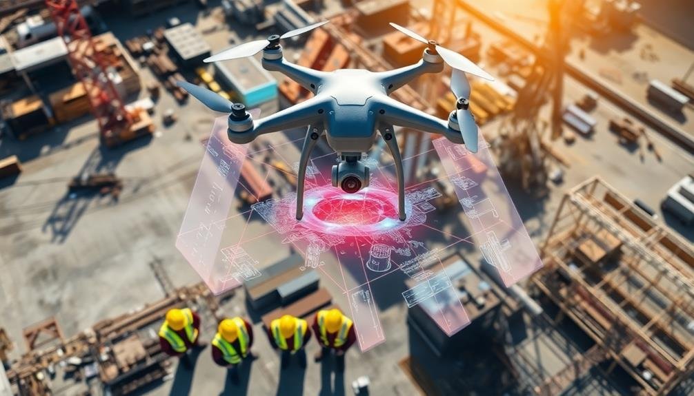
Stakeholder Communication Tools
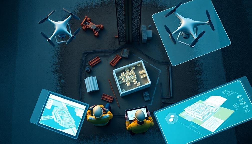
Effective communication with stakeholders is a cornerstone of successful construction projects, and 3D models created by drones have become invaluable tools in this regard.
You'll find that these models offer a highly visual and interactive way to convey complex project information to various stakeholders, including clients, investors, and community members.
With drone-generated 3D models, you can easily showcase the project's progress, design changes, and potential impacts.
You're able to conduct virtual site tours, allowing stakeholders to explore the construction site from different angles and perspectives without physically being there. This is particularly useful for remote stakeholders or those with limited site access.
You can use these models in presentations, meetings, and public consultations to clearly illustrate project plans and address concerns.
They help you explain technical aspects more effectively to non-technical audiences.
Additionally, you can integrate these models into project management software, enabling real-time updates and collaborative decision-making.
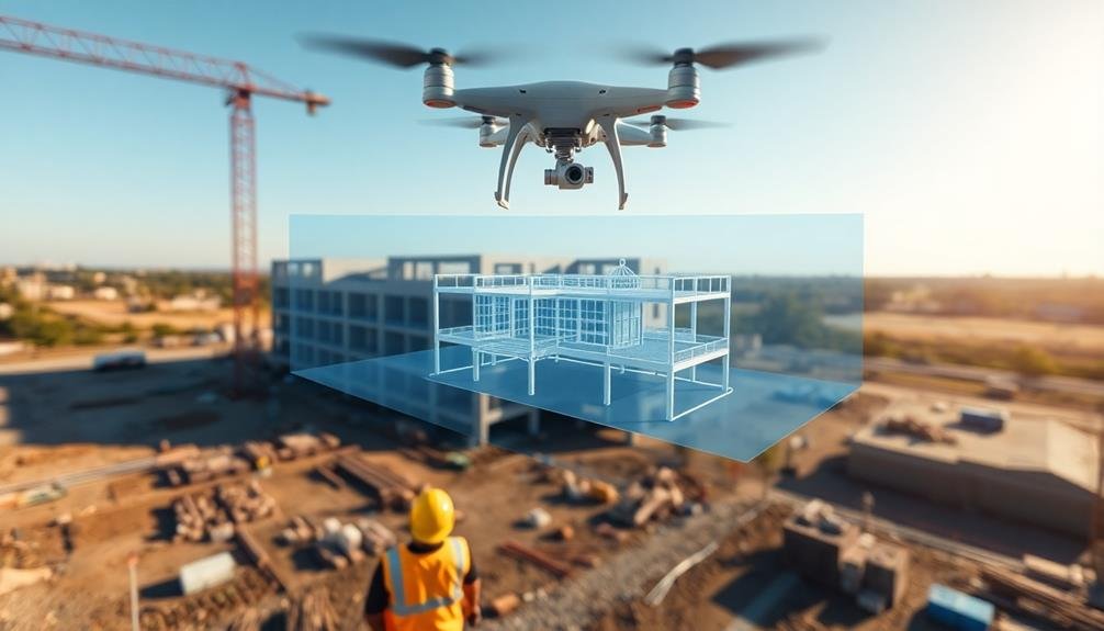
Digital Twin Creation
Digital twin creation with drones offers you unprecedented accuracy in replicating your construction site.
You'll be able to monitor progress in real-time, comparing the digital model to your project plans and identifying discrepancies quickly.
This enhanced collaboration capability allows you and your team to make informed decisions, adjust schedules, and optimize resource allocation more effectively throughout the construction process.
Accurate Site Replication
Creating a precise digital replica of a construction site, known as a digital twin, is one of the most powerful applications of drone-based 3D modeling. You'll find that drones can capture highly detailed images and data from multiple angles, allowing for an incredibly accurate representation of your site. This level of precision enables you to make informed decisions and catch potential issues before they become costly problems.
When you use drones for accurate site replication, you'll benefit from:
- Real-time updates: Drones can quickly capture new data, allowing you to keep your digital twin up-to-date with the latest site changes.
- Improved collaboration: Team members can access the digital twin remotely, enhancing communication and reducing the need for on-site visits.
- Enhanced safety: By identifying hazards in the digital model, you can address safety concerns before they pose risks to workers.
- Streamlined planning: Accurate site replication allows for better resource allocation, scheduling, and overall project management.
You'll find that investing in drone-based 3D modeling for accurate site replication pays off in improved efficiency, reduced costs, and better project outcomes.
It's a game-changer in construction management, giving you unprecedented insight into your project's progress and potential.
Real-Time Progress Monitoring
As construction projects evolve rapidly, real-time progress monitoring through digital twin creation becomes essential. You'll find that drones equipped with advanced imaging technology can capture and process data to create accurate 3D models of your construction site. These models, updated regularly, serve as digital twins of your project.
With digital twins, you're able to track progress in real-time, comparing the current state of construction to your planned timeline. You'll spot discrepancies quickly, allowing for immediate adjustments to keep your project on schedule. This level of monitoring also helps you identify potential issues before they escalate, saving time and resources.
You can use these digital twins for remote site inspections, reducing the need for physical visits and improving safety. They'll also enhance communication among stakeholders, as everyone can access the same up-to-date visual representation of the project.
Additionally, you'll have a detailed record of the construction process, which can be invaluable for future reference or dispute resolution. By leveraging drones for real-time progress monitoring, you're embracing a more efficient, transparent, and data-driven approach to construction management.
Enhanced Collaboration Capabilities
While real-time progress monitoring offers invaluable insights, the true power of digital twins lies in their ability to enhance collaboration across your entire construction team. By creating a detailed 3D model of your construction site using drone data, you're enabling seamless communication and decision-making among stakeholders, regardless of their physical location.
Digital twins foster collaboration by providing:
- A centralized platform for all project information
- Real-time updates accessible to all team members
- Visual representations of complex site conditions
- A tool for remote problem-solving and decision-making
You'll find that these enhanced collaboration capabilities streamline your workflow and reduce miscommunications. Team members can easily share ideas, identify potential issues, and propose solutions using the digital twin as a reference point.
This collaborative approach leads to faster problem resolution and more efficient project management.
Moreover, you can use the digital twin to conduct virtual site visits, saving time and resources while keeping all stakeholders informed. By leveraging this technology, you'll create a more cohesive team environment, ultimately leading to improved project outcomes and increased client satisfaction.
Frequently Asked Questions
What Regulations Govern the Use of Drones on Construction Sites?
You'll need to follow FAA regulations for commercial drone use, including obtaining a Part 107 license. Local laws may also apply. Always check for airspace restrictions, maintain visual line of sight, and respect privacy concerns.
How Do Weather Conditions Affect Drone Operations for 3D Modeling?
You'll find weather impacts drone operations greatly. Wind can destabilize flight, while rain or snow interferes with sensors. Extreme temperatures affect battery life. Sunny days are ideal, but you'll need to account for shadows in your modeling.
What Training Is Required for Construction Personnel to Operate Drones?
You'll need to complete a drone pilot certification course and pass an FAA exam. You should also learn about construction-specific drone operations, safety protocols, and 3D modeling software. Hands-on flight practice is essential too.
Can Drones Integrate With Existing Construction Management Software Platforms?
Yes, you'll find that many drones can integrate with popular construction management software. They'll sync data, upload imagery, and provide real-time updates. You're able to seamlessly incorporate drone-collected information into your existing workflow and project management systems.
How Long Does It Take to Process Drone-Captured Data Into Usable 3D Models?
You'll find processing time varies based on project size and complexity. Typically, it takes a few hours to generate usable 3D models from drone data. With advanced software, you can often get preliminary results within minutes.
In Summary
You've seen how drones revolutionize 3D construction site modeling. They're efficient, cost-effective, and enhance safety. You'll save time and money while getting accurate data for better decision-making. Drones help you assess environmental impact, improve stakeholder communication, and create digital twins. By embracing this technology, you're not just keeping up with industry trends; you're positioning yourself at the forefront of construction innovation. Don't miss out on the benefits drones can bring to your projects.
As educators and advocates for responsible drone use, we’re committed to sharing our knowledge and expertise with aspiring aerial photographers.


Leave a Reply