
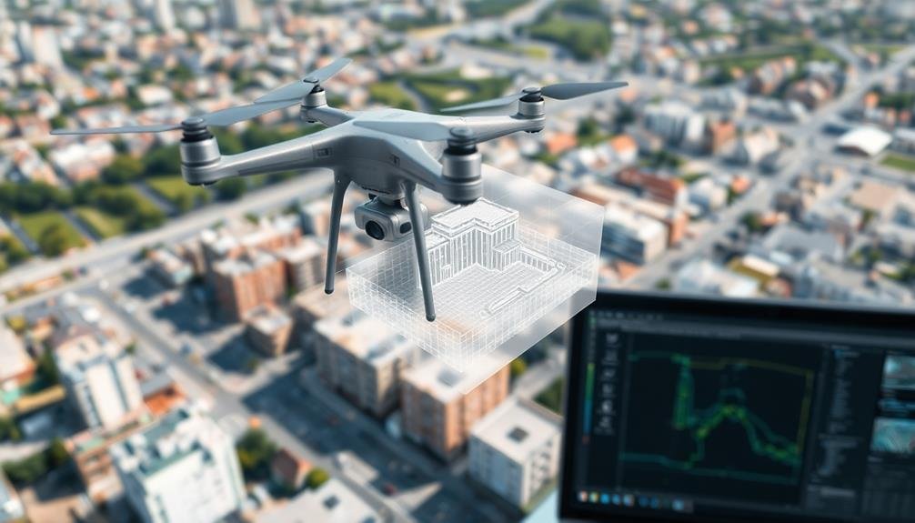
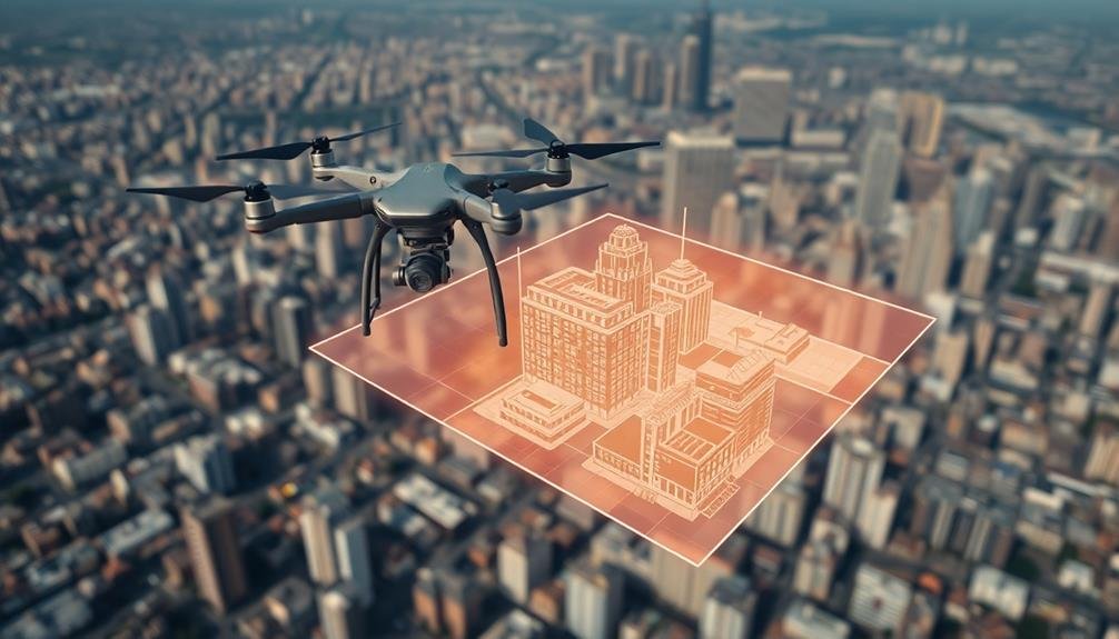
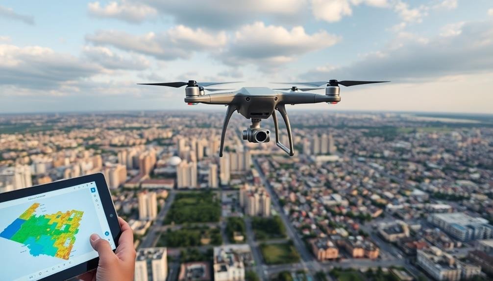
The top software tools for drone-based 3D modeling include Pix4D Mapper, DroneDeploy, Agisoft Metashape, and Bentley ContextCapture. These powerful platforms offer features like real-time 3D mapping, user-friendly interfaces, and cloud processing capabilities. You'll also find RealityCapture, 3DF Zephyr, SimActive Correlator3D, Autodesk ReCap, Propeller Aero, and DJI Terra among the best options. Each tool provides unique strengths, from processing large datasets to seamless integration with other software. Whether you're a beginner or a professional, these tools can transform your aerial imagery into detailed 3D models. Exploring their capabilities will open up a world of possibilities for your projects.
Pix4D Mapper
Pix4D Mapper consistently ranks among the top software tools for drone-based 3D modeling. It's a thorough photogrammetry solution that transforms your aerial images into highly accurate 3D models and maps. You'll find it's user-friendly, with an intuitive interface that guides you through the entire workflow.
With Pix4D Mapper, you can process images from various drone platforms and cameras. It offers automatic calibration and tie point extraction, guaranteeing precise alignment of your images. You'll appreciate its ability to generate dense point clouds, textured mesh models, and orthomosaics with impressive detail.
The software excels in its versatility, catering to industries like surveying, construction, and agriculture. You can easily export your 3D models in various formats, making them compatible with CAD and GIS software. Pix4D Mapper also provides advanced tools for volume calculations, contour generation, and index maps.
You'll benefit from its cloud processing capabilities, allowing you to leverage powerful remote servers for faster results. The software's regular updates guarantee you're always working with the latest features and improvements.
While it requires a learning curve, Pix4D Mapper's extensive documentation and support resources will help you master its capabilities quickly.
DroneDeploy

DroneDeploy's cloud-based platform offers an extensive solution for drone mapping and 3D modeling. You'll find its user-friendly interface particularly appealing, especially if you're new to drone mapping. The software allows you to plan flights, collect data, and process it into 3D models, all within a single ecosystem.
With DroneDeploy, you can create high-resolution 3D models and orthomosaic maps from your drone imagery. The platform supports various drone models and cameras, ensuring compatibility with your existing equipment. You'll appreciate its automated flight planning feature, which optimizes your drone's path for efficient data collection.
DroneDeploy's real-time processing capabilities let you view preliminary results while still in the field, saving you valuable time. The software also offers advanced analytics tools, allowing you to measure distances, calculate volumes, and generate contour lines directly from your 3D models.
You can easily share your projects with team members or clients through DroneDeploy's cloud-based collaboration features. The platform integrates with popular design software like AutoCAD and SketchUp, streamlining your workflow.
Additionally, DroneDeploy's mobile app enables you to control your drone and view data on-site, enhancing your field operations.
Agisoft Metashape
Another powerful tool in the drone-based 3D modeling landscape is Agisoft Metashape. This professional photogrammetry software allows you to create high-quality 3D content from digital images. It's particularly well-suited for drone imagery, offering robust capabilities for processing aerial photos into detailed 3D models.
With Agisoft Metashape, you'll find a user-friendly interface that guides you through the entire workflow. It starts with aligning your drone images, then builds dense point clouds, and finally creates textured 3D meshes. The software excels in its ability to handle large datasets, making it ideal for extensive drone surveys.
You'll appreciate Metashape's advanced features, including the option to generate orthomosaic maps and digital elevation models. It also offers tools for georeferencing, allowing you to create spatially accurate 3D models. The software supports various export formats, ensuring compatibility with other 3D modeling and GIS applications.
Agisoft Metashape isn't just for professionals; it offers different editions to suit various skill levels and project requirements. Whether you're mapping construction sites, creating virtual tours, or conducting environmental surveys, this versatile tool can greatly enhance your drone-based 3D modeling capabilities.
Bentley ContextCapture
Stepping into the domain of industrial-grade 3D reality modeling, Bentley ContextCapture stands out as a thorough solution. It's designed to process drone imagery and create highly detailed 3D models of large-scale environments. You'll find it particularly useful for infrastructure projects, urban planning, and asset management.
ContextCapture excels in handling massive datasets, allowing you to generate models from thousands of images quickly. It's known for its accuracy and ability to produce georeferenced 3D models that seamlessly integrate with GIS and CAD software. You can expect features like automatic tie point extraction, dense image matching, and mesh generation.
Here's why ContextCapture might evoke strong emotions:
- Awe-inspiring realism: Create photorealistic 3D models that capture every detail.
- Empowering precision: Achieve centimeter-level accuracy for critical infrastructure projects.
- Time-saving efficiency: Process large datasets in hours instead of days.
- Limitless scalability: Handle projects of any size, from small objects to entire cities.
While ContextCapture's learning curve can be steep, its powerful capabilities make it a top choice for professionals who need high-quality 3D models from drone imagery.
You'll appreciate its robust workflow and integration with other Bentley software for extensive project management.
RealityCapture
RealityCapture stands out as a powerhouse in the domain of photogrammetry software. It's renowned for its speed and ability to process massive datasets, making it ideal for drone-based 3D modeling projects. You'll find that RealityCapture can handle thousands of images quickly, producing high-quality 3D models with impressive detail.
One of RealityCapture's strengths is its versatility. You can use it for various applications, from creating 3D models of buildings and landscapes to digitizing small objects. The software's user-friendly interface allows you to navigate through the reconstruction process effortlessly, even if you're new to 3D modeling.
Here's a quick overview of RealityCapture's key features:
| Feature | Description |
|---|---|
| Speed | Processes large datasets rapidly |
| Accuracy | Produces highly detailed 3D models |
| Scalability | Handles projects of any size |
| Automation | Offers automatic camera alignment |
| Export Options | Supports various 3D file formats |
You'll appreciate RealityCapture's ability to integrate with other software tools, allowing for a seamless workflow. It's compatible with popular 3D editing programs, enabling you to refine your models further. While it may have a steeper learning curve than some alternatives, the powerful features and exceptional results make it a top choice for professional drone-based 3D modeling projects.
3DF Zephyr

DF Zephyr offers a robust alternative for drone-based 3D modeling, catering to both beginners and experienced users. This software stands out for its user-friendly interface and powerful features, making it an excellent choice for various 3D reconstruction projects.
You'll find that DF Zephyr can handle large datasets efficiently, allowing you to create detailed 3D models from drone imagery with ease.
One of DF Zephyr's key strengths is its versatility. You can use it for a wide range of applications, including architecture, archaeology, and virtual reality content creation. The software's automated workflow simplifies the process, guiding you through each step from image alignment to mesh generation and texturing.
Here are four reasons why DF Zephyr can evoke excitement in 3D modeling enthusiasts:
- Stunning visual quality that brings your projects to life
- Time-saving automation that accelerates your workflow
- Precision and accuracy that guarantee professional-grade results
- Flexible export options that seamlessly integrate with other software
DF Zephyr's advanced features, such as dense point cloud editing and automatic ground point extraction, give you greater control over your 3D models.
You'll appreciate the software's ability to handle complex scenes and produce high-quality outputs, making it a valuable tool for your drone-based 3D modeling projects.
SimActive Correlator3D
Revealing another powerful contender in the drone-based 3D modeling arena, SimActive Correlator3D stands out as a professional-grade photogrammetry software. It's designed to process large datasets quickly, making it ideal for mapping extensive areas. You'll find its user-friendly interface allows for efficient workflow management, even with complex projects.
Correlator3D offers an extensive suite of tools for aerial triangulation, DSM and DTM extraction, and orthomosaic generation. You can expect high-quality results, thanks to its advanced algorithms and GPU acceleration. The software supports various input formats, including oblique imagery and thermal data, enhancing its versatility.
| Feature | Benefit | Application |
|---|---|---|
| GPU Processing | Faster results | Large-scale projects |
| Multi-camera Support | Flexible input | Diverse data sources |
| Automated Workflow | Time-saving | Streamlined production |
You'll appreciate Correlator3D's ability to handle projects of any size, from small site surveys to country-wide mapping initiatives. Its cloud processing capabilities allow for collaborative work and remote access. With regular updates and responsive customer support, you can rely on SimActive to keep your 3D modeling workflow cutting-edge and efficient.
Autodesk ReCap
Autodesk ReCap offers powerful features for converting drone imagery into detailed 3D models, including automatic registration and cloud processing capabilities.
You'll find seamless integration with other Autodesk software, allowing for a smooth workflow from capture to final design.
ReCap is available through various subscription plans, with pricing options tailored to individual users or larger teams.
Key Features and Capabilities
ReCap, Autodesk's powerhouse for reality capture and 3D modeling, boasts an impressive array of features tailored for drone-based photogrammetry. You'll find it effortlessly processes large datasets from aerial imagery, creating high-quality 3D models and point clouds. Its intuitive interface allows you to easily navigate through your project, making adjustments and refinements as needed.
One of ReCap's standout capabilities is its automatic photo alignment and stitching, which saves you countless hours of manual work. You can also leverage its advanced mesh creation tools to generate detailed 3D models from your drone footage. The software's ability to handle various file formats guarantees compatibility with your existing workflow.
ReCap's key features will revolutionize your drone-based 3D modeling:
- Seamless integration with other Autodesk products
- Real-time visualization of point clouds
- Powerful editing tools for cleaning and refining models
- Automated reporting and measurement capabilities
With ReCap, you'll experience enhanced accuracy in your 3D reconstructions, thanks to its sophisticated algorithms and error correction features.
The software's cloud processing capabilities allow you to tackle even the most demanding projects, regardless of your local hardware limitations.
Workflow Integration Options
When it comes to workflow integration, ReCap offers a seamless experience that'll enhance your productivity across various Autodesk platforms. You can easily import your drone-captured data into ReCap and process it to create high-quality 3D models.
These models can then be exported to other Autodesk software like AutoCAD, Revit, and Civil 3D for further design and analysis work.
ReCap's integration with Autodesk Construction Cloud allows you to share your 3D models with team members and stakeholders in real-time. You'll be able to collaborate more effectively, making design decisions and project planning more efficient.
The software also supports direct import of point cloud data into Autodesk Inventor, enabling you to use the 3D scans for reverse engineering or product design.
For those working with BIM workflows, ReCap integrates smoothly with Autodesk BIM 360, allowing you to incorporate reality capture data into your building information models.
This integration helps you detect clashes, verify as-built conditions, and improve overall project accuracy.
Additionally, ReCap's compatibility with Autodesk Forge APIs enables you to develop custom applications and automate your workflow processes, further streamlining your drone-based 3D modeling projects.
Pricing and Licensing Models
For users looking into Autodesk ReCap's pricing and licensing models, several options are available to suit different needs and budgets. You'll find flexible subscription plans that cater to individual professionals, small teams, and large enterprises.
The software offers monthly, annual, and multi-year licensing options, allowing you to choose the most cost-effective solution for your project duration.
Autodesk ReCap's pricing structure is designed to provide value and scalability. Here are four key benefits that'll evoke excitement about the licensing models:
- Pay-as-you-go flexibility for short-term projects
- Substantial savings with long-term commitments
- Access to the latest features and updates
- Ability to scale licenses up or down as needed
You'll appreciate the transparency in Autodesk's pricing, with clear breakdowns of features included in each tier.
Educational institutions and students can benefit from special discounts, making it accessible for learning and research purposes.
It's worth noting that Autodesk occasionally offers promotional deals, so keep an eye out for potential savings.
Propeller Aero
Propeller Aero stands out as a cloud-based powerhouse for drone data processing and analysis. This platform specializes in surveying, mapping, and 3D modeling for construction, mining, and waste management industries. You'll find its user-friendly interface particularly helpful when working with large datasets.
With Propeller, you can easily upload your drone imagery and receive accurate 3D models within hours. The software's advanced algorithms process data quickly, allowing you to measure volumes, track progress, and perform site analysis efficiently. You'll appreciate its collaboration features, which enable team members to access and work on projects simultaneously.
Propeller's strengths lie in its ability to integrate with various drone hardware and its compatibility with popular file formats. The platform offers tools for creating custom reports, conducting timeline comparisons, and generating high-quality orthomosaics. You'll also benefit from its machine control file exports, which streamline earthwork operations.
While Propeller excels in many areas, it's essential to recognize that it's primarily designed for specific industries. If you're working in fields outside its core focus, you might find some limitations.
However, for those in construction, mining, or waste management, Propeller Aero provides a thorough solution for drone-based 3D modeling and site analysis.
DJI Terra
Developed by the world's leading drone manufacturer, DJI Terra offers a thorough solution for aerial data processing and 3D modeling. It's designed to work seamlessly with DJI drones, allowing you to create high-quality 3D models, orthomosaic maps, and digital surface models from your aerial imagery.
DJI Terra's user-friendly interface makes it easy for beginners to get started, while its advanced features cater to professional needs. You'll appreciate its efficient processing algorithms, which can handle large datasets quickly. The software supports various output formats, enabling you to integrate your results with other GIS and CAD applications.
One of DJI Terra's standout features is its real-time 3D mapping capability. This allows you to visualize your project as it's being captured, saving you time and ensuring you've collected all necessary data before leaving the site.
Here's why DJI Terra can evoke emotion in users:
- Thrill of seeing your project come to life in real-time
- Confidence in knowing you're using industry-leading technology
- Pride in producing professional-grade 3D models
- Excitement about the potential applications of your aerial data
With its powerful features and intuitive design, DJI Terra is an excellent choice for drone-based 3D modeling projects.
Frequently Asked Questions
How Does Weather Affect Drone-Based 3D Modeling Accuracy?
Weather greatly impacts your drone-based 3D modeling accuracy. Wind can cause camera shake, affecting image quality. Rain or fog obscures visibility. Extreme temperatures may affect drone performance. Bright sunlight can create harsh shadows, altering surface details in your model.
What Are the Legal Requirements for Commercial Drone Use in 3D Modeling?
You'll need a Part 107 license from the FAA for commercial drone use. You must register your drone, follow airspace regulations, and maintain visual line-of-sight. Don't forget to obtain necessary permits for specific locations.
Can Drone-Based 3D Models Be Integrated With Building Information Modeling (Bim) Software?
Yes, you can integrate drone-based 3D models with BIM software. You'll need to convert the drone data into compatible formats. It's becoming increasingly common, allowing you to enhance your BIM projects with accurate, up-to-date aerial information.
How Does the Choice of Drone Hardware Impact 3D Modeling Results?
Your drone's hardware greatly impacts 3D modeling results. Higher-resolution cameras capture more detail. Stable flight systems guarantee clearer images. Advanced sensors improve accuracy. You'll get better outcomes with professional-grade drones designed for mapping and modeling tasks.
What Are the Typical Processing Times for Large-Scale Drone-Based 3D Modeling Projects?
You'll find processing times for large-scale drone-based 3D modeling projects vary widely. They can take hours to days, depending on factors like dataset size, computer power, and software efficiency. Expect longer times for complex, detailed models.
In Summary
You've now got a solid overview of the top software tools for drone-based 3D modeling. These options cater to various skill levels and project needs. Whether you're a beginner or a pro, there's a solution that'll fit your requirements. Don't hesitate to explore these tools further and try out their free trials. With practice, you'll soon be creating stunning 3D models from your drone imagery. Keep experimenting and pushing the boundaries of what's possible!
As educators and advocates for responsible drone use, we’re committed to sharing our knowledge and expertise with aspiring aerial photographers.


Leave a Reply