Ground control points (GCPs) are essential for precise mapping, serving as known reference markers to enhance accuracy and reliability. You'll use them to georeference aerial or satellite imagery, ensuring your maps align with real-world coordinates. GCPs come in natural and artificial types, each with specific benefits for different mapping scenarios. To maximize their effectiveness, you'll need to strategically place GCPs across your project area, use high-precision GPS equipment, and follow proper data collection techniques. By integrating GCPs into your mapping workflow, especially with drone surveys, you'll achieve sub-centimeter accuracy and improved data validation. Discover how these vital reference points can revolutionize your mapping projects.
Key Takeaways
- GCPs are physical markers with known coordinates used to improve accuracy in surveying and mapping projects.
- Distribute GCPs evenly across the project area, varying elevations and avoiding obstructions for optimal coverage.
- Use high-precision GNSS receivers with RTK or PPK positioning for accurate GCP coordinate measurement.
- GCPs enhance map accuracy, correct distortions, and serve as validation tools for quality assurance.
- Integrate GCPs into drone workflows by planning locations, recording coordinates, and tagging in processed imagery.
Understanding Ground Control Points
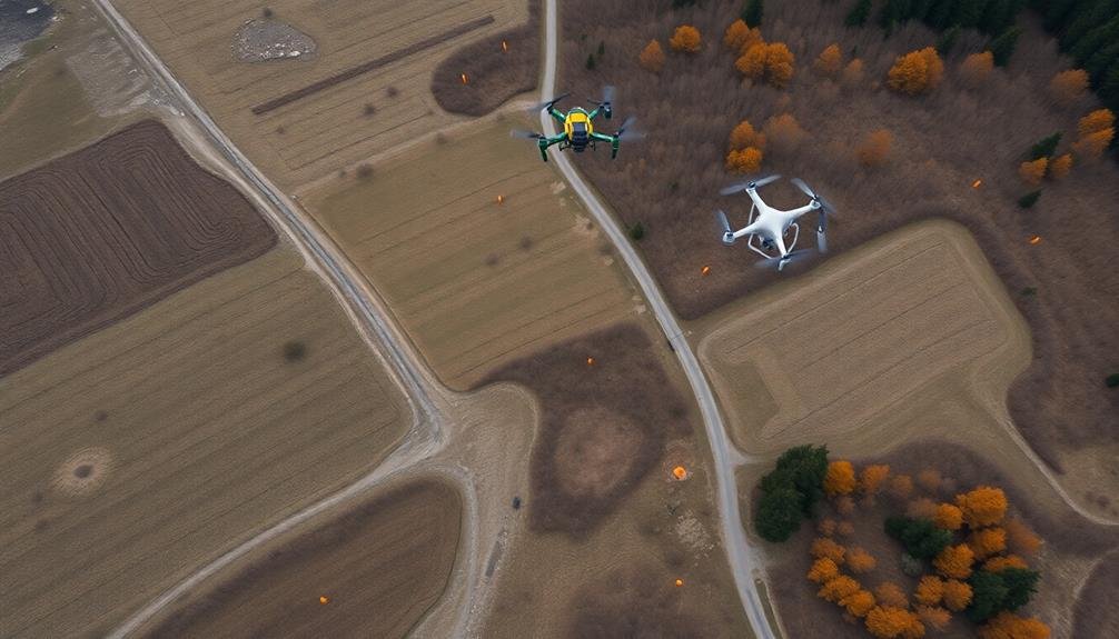
Ground Control Points (GCPs) are frequently used in surveying and mapping to improve accuracy. They're physical markers on the ground with known coordinates that serve as reference points for aerial or satellite imagery. When you're creating maps or 3D models, GCPs help you align and correct your data, ensuring precise georeferencing and reducing distortions.
You'll typically place GCPs before capturing imagery, marking them with high-contrast targets visible from above. These targets can be temporary or permanent, depending on your project's needs. The more GCPs you use, the better your accuracy, but you'll need to balance this with practical considerations like time and cost.
To use GCPs effectively, you'll need to measure their exact coordinates using high-precision GPS equipment. You'll then incorporate this data into your mapping software during the processing stage. This allows you to adjust your imagery or point cloud to match the known positions of the GCPs, greatly improving the overall accuracy of your final product.
Understanding how GCPs work is essential for anyone involved in professional mapping, remote sensing, or photogrammetry projects where precision is paramount.
Benefits of GCPs in Mapping
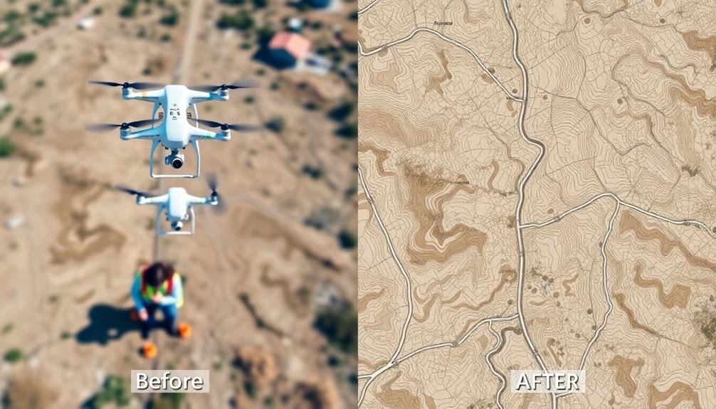
You'll find that using Ground Control Points (GCPs) in mapping offers significant advantages.
GCPs enhance the accuracy and precision of your maps, allowing you to create highly reliable spatial data.
Additionally, you can use GCPs to validate your mapping results, ensuring the quality and credibility of your final product.
Improved Accuracy and Precision
Over the years, the use of Ground Control Points (GCPs) has revolutionized the field of mapping, offering notable improvements in accuracy and precision. By incorporating GCPs into your mapping projects, you'll achieve higher levels of spatial accuracy, ensuring that your final products are more reliable and trustworthy.
GCPs help you correct distortions and errors that can occur during data collection and processing. They act as fixed reference points, allowing you to align and calibrate your imagery or survey data with real-world coordinates. This process markedly reduces the margin of error in your maps, resulting in more precise measurements and representations of the terrain.
Here are four key ways GCPs improve accuracy and precision in mapping:
- Minimizing geometric distortions in aerial and satellite imagery
- Enhancing the accuracy of elevation models and contour lines
- Improving the georeferencing of historical maps and documents
- Increasing the reliability of distance and area calculations
Enhanced Data Validation
When it comes to mapping projects, enhanced data validation is an essential benefit of using Ground Control Points (GCPs). By incorporating GCPs into your mapping workflow, you'll gain a powerful tool for verifying the accuracy of your spatial data. These precisely surveyed points serve as known reference locations, allowing you to compare your collected data against established coordinates.
You'll find that GCPs enable you to identify and correct errors in your mapping process. They help you detect issues such as camera calibration errors, GPS inaccuracies, or software processing problems. By comparing your mapped data to the GCP locations, you can quickly spot discrepancies and take corrective action.
GCPs also provide a means to validate the overall quality of your mapping products. You can use them to assess the positional accuracy of orthomosaics, digital elevation models, and 3D point clouds. This validation process guarantees that your final deliverables meet the required accuracy standards for your project.
Moreover, GCPs facilitate independent quality checks. You can reserve some GCPs as check points, using them to verify the accuracy of your mapping results without incorporating them into the initial processing.
Types of Ground Control Points
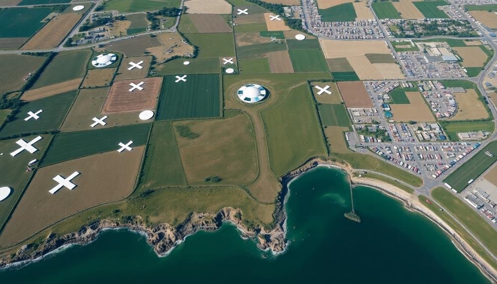
When considering ground control points (GCPs) for your mapping project, you'll encounter two main categories: natural and artificial GCPs.
Natural GCPs are existing features in the landscape, while artificial GCPs are markers you'll place specifically for the survey.
You'll also need to decide between permanent GCPs, which remain in place for long-term use, and temporary GCPs, which you'll remove after completing your project.
Natural vs. Artificial GCPs
Ground Control Points (GCPs) come in two main varieties: natural and artificial.
Natural GCPs are existing features in the landscape that you can easily identify and measure. These might include road intersections, building corners, or distinct rock formations. They're cost-effective and don't require special installation, but they may not always be available or visible in your survey area.
Artificial GCPs, on the other hand, are markers you place specifically for your mapping project. They're typically high-contrast targets designed for easy identification in aerial imagery.
While they require more setup time and resources, artificial GCPs offer several advantages:
- Precise placement for maximum coverage
- Consistent size and shape for accurate measurements
- High visibility in various lighting conditions
- Ability to use in areas lacking natural features
When choosing between natural and artificial GCPs, consider your project's requirements, budget, and the characteristics of your survey area.
In many cases, you'll find that a combination of both types yields the best results, providing a balance between convenience and precision in your mapping efforts.
Permanent and Temporary GCPs
Building on the concept of natural and artificial GCPs, it's important to take into account their permanence in the landscape.
Permanent GCPs are fixed features that remain stable over extended periods, while temporary GCPs are placed for specific mapping projects and later removed.
Permanent GCPs often include existing structures or landmarks, such as building corners, road intersections, or distinctive natural features. These points offer long-term reliability and can be used across multiple mapping sessions.
You'll find them particularly useful for monitoring changes in an area over time or for projects requiring repeated surveys.
Temporary GCPs, on the other hand, are typically artificial markers placed strategically for a single mapping event. They're ideal for areas lacking suitable permanent features or when you need precise control in specific locations.
You can create temporary GCPs using surveyor's targets, painted marks, or specially designed markers.
When choosing between permanent and temporary GCPs, consider your project's duration, the likelihood of future surveys, and the stability of the surrounding environment.
Permanent GCPs save time and effort in long-term projects, while temporary GCPs offer flexibility and precision for short-term or one-time mapping needs.
Optimal GCP Placement Strategies
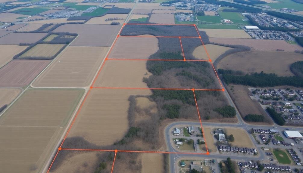
How can you guarantee your ground control points (GCPs) are ideally placed for precise mapping? The key lies in strategic placement and understanding your project's unique requirements.
When positioning GCPs, you'll want to take into account the terrain, project size, and desired accuracy.
For optimal GCP placement, follow these strategies:
- Distribute evenly: Spread your GCPs uniformly across the entire project area, ensuring coverage in all corners and edges.
- Vary elevations: Place GCPs at different heights to capture the full range of terrain variations, including high and low points.
- Avoid obstructions: Choose locations with clear sky visibility to minimize interference with GPS signals and improve accuracy.
- Match project scale: Adjust the number and spacing of GCPs based on your project's size and required precision.
Equipment for Setting Up GCPs
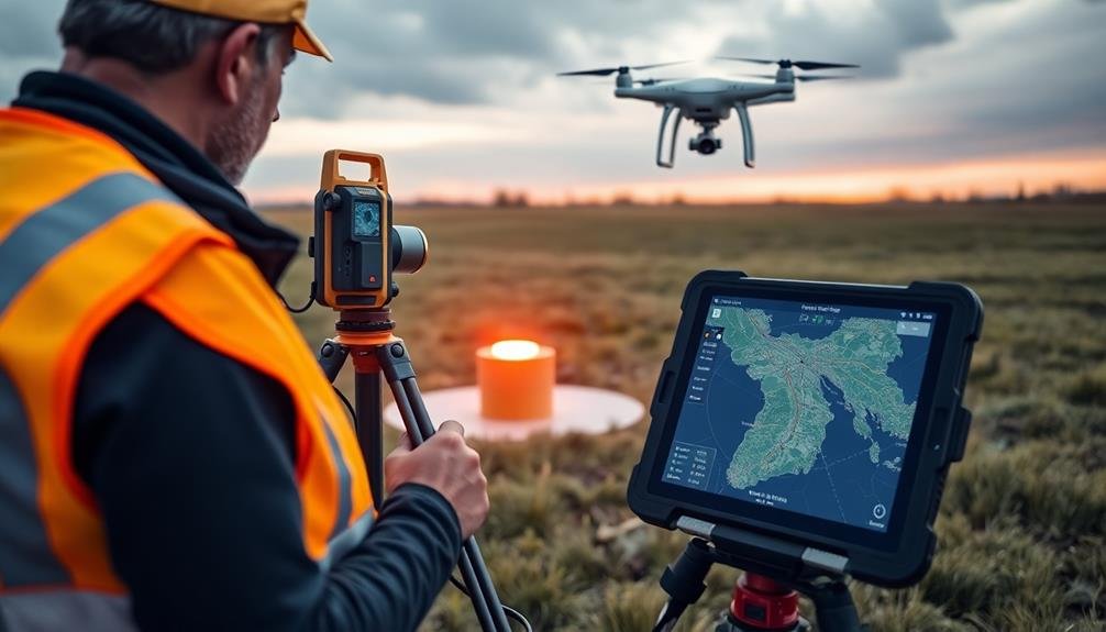
Now that you understand ideal GCP placement strategies, let's focus on the tools you'll need to set them up effectively. The primary equipment you'll require includes a high-precision GNSS receiver, survey-grade targets, and marking materials.
Your GNSS receiver should be capable of RTK or PPK positioning to achieve centimeter-level accuracy. Look for models with multi-constellation support and the ability to connect to correction networks. Don't forget a sturdy tripod and data collector to complement your receiver.
For targets, consider using pre-made survey markers or creating custom ones. Opt for durable materials like aluminum or weather-resistant plastics. Confirm your targets are highly visible and contrast well with the surrounding terrain. Standard sizes range from 30cm to 1m, depending on your project's scale and flying height.
You'll also need marking supplies to establish permanent or semi-permanent GCPs. This can include spray paint, stakes, nails, or specialized survey markers. Choose materials appropriate for your project's duration and environmental conditions.
Lastly, don't overlook safety equipment like high-visibility vests and first aid kits when working in the field. Proper planning and the right tools will guarantee efficient and accurate GCP setup.
GCP Data Collection Techniques
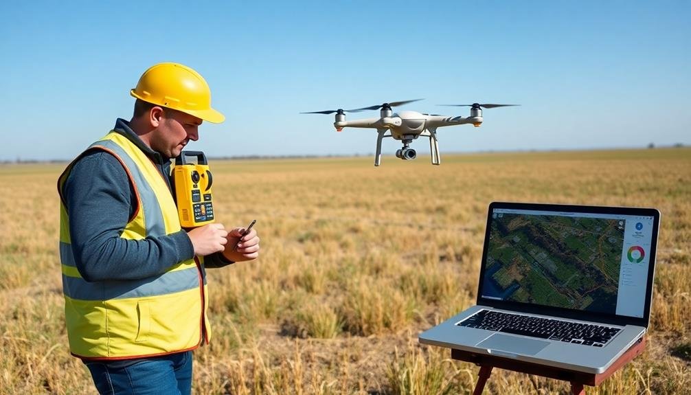
Once you've set up your GCPs, it's time to plunge into data collection. The accuracy of your mapping project hinges on the precision of your GCP data, so it's essential to follow best practices. Use a high-precision GNSS receiver to capture the exact coordinates of each GCP. Verify you're collecting data in the appropriate coordinate system for your project, whether it's a local grid or a global reference frame like WGS84.
When collecting GCP data, consider these key techniques:
- Occupy each point for an adequate duration, typically 5-15 minutes, to achieve peak accuracy.
- Use real-time kinematic (RTK) or post-processed kinematic (PPK) methods for enhanced precision.
- Record metadata for each GCP, including point ID, timestamp, and site conditions.
- Collect redundant measurements to verify data quality and identify potential errors.
Don't forget to maintain clear sky visibility during data collection to guarantee strong satellite signals.
If you're working in challenging environments with limited sky view, you may need to extend occupation times or use advanced GNSS techniques. Always double-check your data on-site to avoid costly revisits.
Integrating GCPS Into Drone Workflows
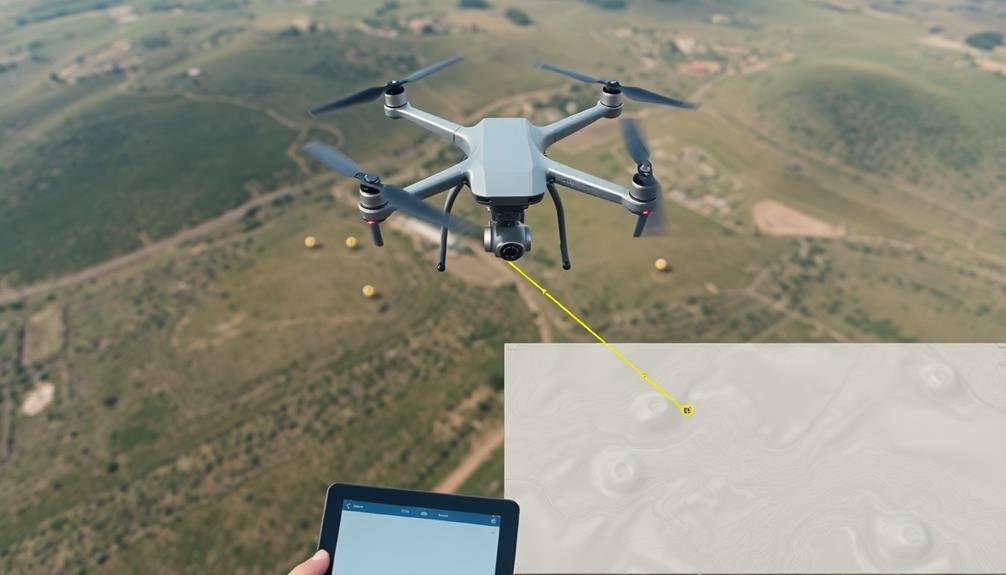
Integrating GCPs into your drone workflow is an essential step for achieving high-accuracy mapping results. To start, you'll need to plan your GCP locations before your flight. Aim to distribute them evenly across your survey area, paying special attention to the corners and edges.
Once you've placed your GCPs, use a high-precision GPS device to record their exact coordinates.
Next, you'll need to incorporate these GCPs into your drone flight plan. Most modern drone mapping software allows you to import GCP coordinates. This helps guarantee your drone captures clear images of each GCP during the flight.
During image processing, you'll manually identify each GCP in the relevant photos. This process, known as "tagging," allows the software to correlate the GPS coordinates with specific pixels in your imagery.
After processing, compare the calculated GCP positions with your known coordinates. This will give you a clear indication of your map's accuracy.
If discrepancies are significant, you may need to adjust your processing parameters or collect additional data. Remember, integrating GCPs effectively can dramatically improve your final map's accuracy and reliability.
Accuracy Improvements With GCPS
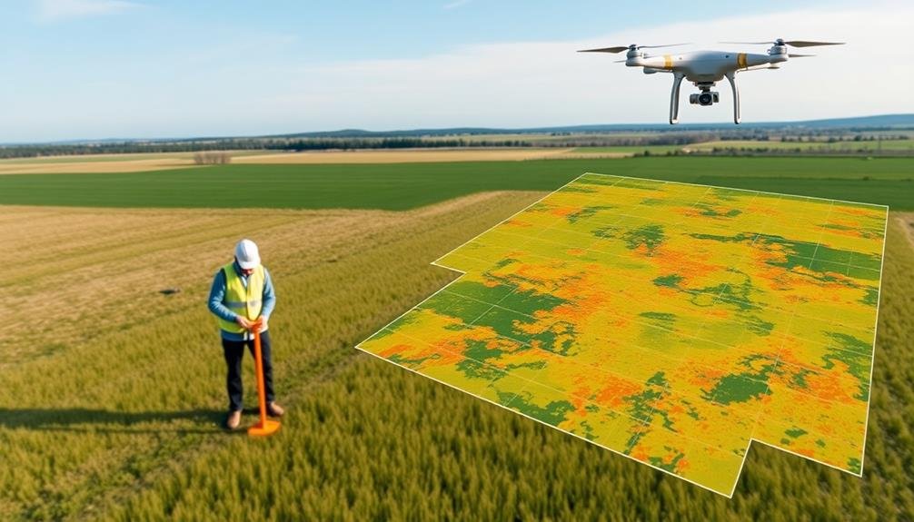
Enhancing accuracy is the primary goal of using Ground Control Points (GCPs) in drone mapping. By incorporating GCPs into your workflow, you'll greatly improve the precision of your aerial surveys and mapping projects.
GCPs provide known reference points on the ground that can be used to calibrate and correct drone imagery, resulting in more accurate data products.
When you use GCPs, you'll notice several key improvements in your mapping accuracy:
- Reduced horizontal errors: GCPs help align your drone imagery with real-world coordinates, minimizing shifts in X and Y directions.
- Enhanced vertical accuracy: By including elevation data, GCPs correct for altitude discrepancies, improving the Z-axis precision.
- Mitigation of camera distortions: GCPs assist in compensating for lens distortions and other camera-related inaccuracies.
- Improved georeferencing: With GCPs, you can achieve sub-centimeter accuracy in georeferencing your orthomosaics and 3D models.
Frequently Asked Questions
How Long Do Ground Control Points Remain Accurate After Installation?
You'll find that ground control points' accuracy can vary greatly. They'll typically remain reliable for months to years, depending on factors like installation quality, environmental conditions, and land stability. Regular checks guarantee continued precision in your mapping projects.
Can GCPS Be Reused for Multiple Mapping Projects in the Same Area?
Yes, you can reuse GCPs for multiple mapping projects in the same area. They'll remain accurate as long as they're undisturbed. It's cost-effective and time-saving, but you should verify their positions periodically to confirm continued accuracy.
Are There Legal Considerations When Placing GCPS on Private or Public Property?
When placing GCPs, you'll need to contemplate legal issues. You should always get permission from property owners or local authorities. Don't trespass or damage property. Be aware of privacy concerns and any restrictions on surveying activities.
How Do Weather Conditions Affect the Visibility and Accuracy of GCPS?
Weather can greatly impact your GCPs' visibility and accuracy. You'll find that rain, snow, or fog can obscure markers, while strong sunlight might cause glare. Wind can shift lightweight GCPs, affecting their precise positioning.
What Are the Cost Implications of Using GCPS Compared to Other Mapping Methods?
You'll find GCPs are initially more expensive due to equipment and labor costs. However, they often prove cost-effective in the long run by providing higher accuracy and reducing the need for resurveying or correcting errors.
In Summary
You've now gained a solid understanding of Ground Control Points and their essential role in precise mapping. By implementing GCPs effectively, you'll greatly enhance the accuracy of your mapping projects. Remember to choose the right type of GCPs, place them strategically, and use proper equipment and techniques. Don't forget to integrate GCPs into your drone workflows for best results. With this knowledge, you're well-equipped to elevate your mapping accuracy to new heights.

As educators and advocates for responsible drone use, we’re committed to sharing our knowledge and expertise with aspiring aerial photographers.


Leave a Reply