You need to know five essential aerial mapping regulations to navigate the drone world safely and legally. First, understand airspace classifications and restrictions to avoid prohibited areas. Second, obtain the necessary pilot certifications, like the Remote Pilot Certificate for commercial operations. Third, register your drone and comply with identification rules to avoid fines. Fourth, respect privacy laws and data protection guidelines when collecting aerial imagery. Finally, secure appropriate insurance coverage for equipment and liability. These regulations form the foundation of responsible drone operations, but there's much more to explore in this evolving field.
Key Takeaways
- Obtain a Remote Pilot Certificate (Part 107 license) for commercial drone operations in aerial mapping.
- Register your drone with the FAA if it weighs over 0.55 pounds (250 grams).
- Understand airspace classifications and obtain necessary clearances, especially in controlled airspace.
- Comply with privacy laws, obtain required permits, and protect collected data during aerial mapping operations.
- Secure comprehensive drone insurance, including liability coverage for equipment damage and mapping errors.
Airspace Classification and Restrictions
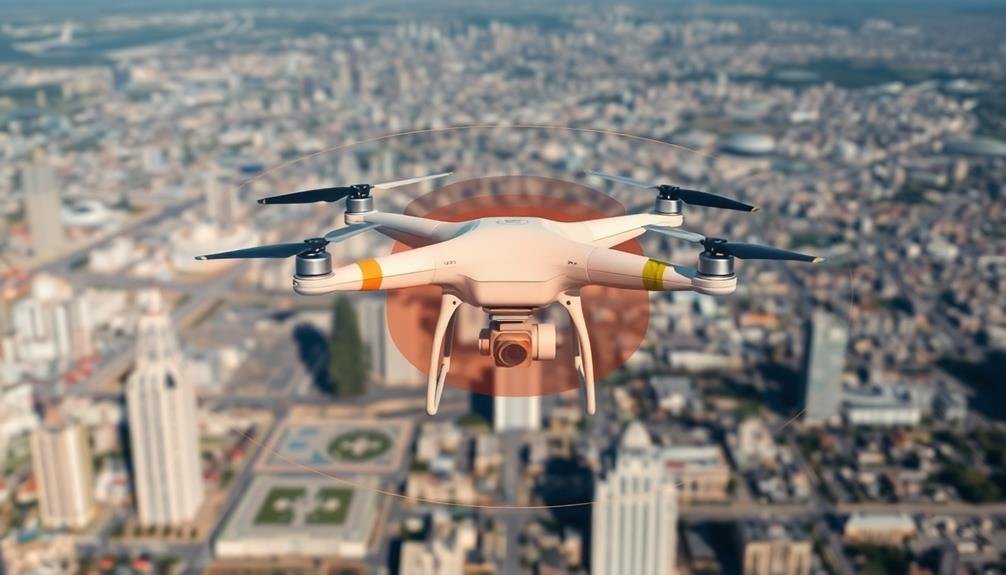
Maneuvering through the complexities of airspace is essential for aerial mapping operations. You'll need to understand the different airspace classifications and their associated restrictions to guarantee compliance and safety.
The FAA divides airspace into six classes: A, B, C, D, E, and G. Class A airspace extends from 18,000 feet to 60,000 feet and requires instrument flight rules (IFR). For aerial mapping, you'll typically operate in Classes B through G.
Class B surrounds major airports, requiring ATC clearance. Class C envelops busy airports, necessitating two-way radio communication. Class D encompasses smaller airports with control towers, also requiring communication.
Class E is controlled airspace that doesn't fit other categories, while Class G is uncontrolled. You'll often work in these two classes for mapping projects.
Be aware of temporary flight restrictions (TFRs) and special use airspace (SUA) that may impact your operations. Always check NOTAMs and use up-to-date charts to identify restricted areas.
Pilot Certification Requirements
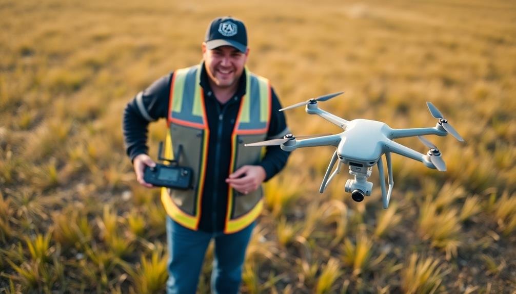
Understanding airspace regulations is just the first step in aerial mapping operations. As a drone pilot, you'll need to obtain the proper certification to legally conduct aerial mapping missions.
In the United States, the Federal Aviation Administration (FAA) requires commercial drone operators to hold a Remote Pilot Certificate, also known as a Part 107 license.
To earn your Part 107 license, you'll need to pass a knowledge test covering various aspects of drone operation and aviation safety. The test includes questions on:
- Airspace classification and operating requirements
- Aviation weather sources and effects
- Drone performance and loading
- Emergency procedures and crew resource management
Once you've passed the test, you'll need to complete an application process and undergo a background check. Your Remote Pilot Certificate is valid for two years, after which you'll need to take a recurrent knowledge test to maintain your certification.
It's important to note that some specialized aerial mapping operations may require additional certifications or waivers.
For example, if you're planning to conduct night operations or fly beyond visual line of sight, you'll need to obtain specific authorizations from the FAA.
Registration and Identification Rules
Drone registration and identification rules form another critical layer of compliance for aerial mapping operations. You'll need to register your drone with the FAA if it weighs more than 0.55 pounds (250 grams). This process is straightforward and can be completed online. Once registered, you'll receive a unique identification number that must be displayed on your drone.
For commercial operations, you'll need to register under Part 107 rules. Here's a quick breakdown of registration requirements:
| Weight Category | Registration Type | Renewal Period | Cost |
|---|---|---|---|
| Under 0.55 lbs | Not required | N/A | Free |
| 0.55 – 55 lbs | Part 107 | Every 3 years | $5 |
| Over 55 lbs | Part 47 | Every 3 years | $5 |
You must also comply with Remote ID rules, which require your drone to broadcast its location and your operator ID. This helps authorities monitor airspace safety and identify rogue operators. Remember to keep your registration current and always fly with your registration certificate. Failure to comply with these rules can result in hefty fines and potential legal consequences.
Privacy and Data Protection

While aerial mapping can provide valuable data, it's crucial to navigate the complex landscape of privacy and data protection laws. You'll need to be aware of regulations that protect individuals' privacy rights and sensitive information. Many countries have strict laws governing the collection, storage, and use of personal data obtained through aerial mapping.
To guarantee compliance, you should:
- Obtain necessary permits and consents before collecting data
- Implement robust data security measures to protect collected information
- Anonymize or blur sensitive details in captured imagery
- Establish clear data retention and deletion policies
When conducting aerial mapping, you must respect private property rights and avoid capturing images of restricted areas. Be mindful of local laws that may prohibit flying over certain locations or at specific altitudes.
You're also responsible for safeguarding the data you collect from unauthorized access or breaches.
Insurance and Liability Considerations
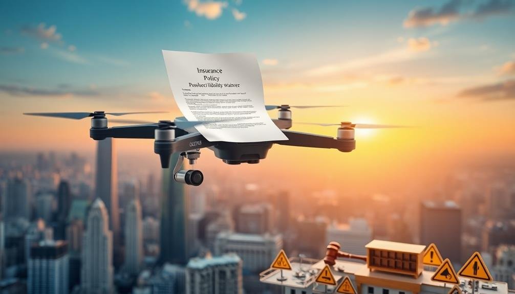
Three key insurance and liability considerations are vital when conducting aerial mapping operations.
First, you'll need extensive drone insurance that covers both physical damage to your equipment and potential third-party liability. This protects you from financial losses due to accidents, collisions, or equipment failure during mapping missions.
Second, consider professional liability insurance, also known as errors and omissions coverage. This safeguards you against claims arising from mistakes or oversights in your mapping data or services. It's important if clients rely on your aerial mapping for critical decision-making or projects.
Lastly, verify you're compliant with local regulations and obtain necessary permits. Failing to do so can result in fines, legal action, or invalidation of your insurance coverage. Stay up-to-date with evolving drone laws and airspace restrictions in your operating areas.
Remember to review and update your insurance policies regularly as your operations expand or change.
Don't overlook cybersecurity insurance to protect against data breaches or loss of sensitive mapping information. By addressing these insurance and liability considerations, you'll minimize risks and operate your aerial mapping business more securely.
Frequently Asked Questions
How Does Weather Affect Aerial Mapping Operations?
Weather considerably impacts your aerial mapping operations. You'll face challenges with strong winds, rain, and low visibility. They can affect your drone's stability, image quality, and safety. Always check forecasts and adjust your plans accordingly.
What Software Is Commonly Used for Processing Aerial Mapping Data?
You'll often use specialized software like Pix4D, Agisoft Metashape, or DroneDeploy to process aerial mapping data. These tools help you stitch images, create 3D models, and generate detailed maps from your drone's raw footage.
How Often Should Aerial Mapping Equipment Be Calibrated?
You should calibrate your aerial mapping equipment regularly, typically before each mission. It's essential to guarantee accuracy. Perform daily checks and follow manufacturer guidelines. Don't forget to recalibrate after any repairs or significant environmental changes.
Are There Specific Flight Patterns Recommended for Optimal Aerial Mapping Results?
You'll want to use specific flight patterns for ideal aerial mapping. Typically, you'll fly in parallel lines or a grid pattern. Don't forget to overlap your images for better coverage and accuracy in your final map.
What Is the Average Lifespan of a Drone Used for Aerial Mapping?
You'll find that the average lifespan of a drone used for aerial mapping is typically 2-3 years. However, it's highly dependent on usage frequency, maintenance, and environmental conditions. With proper care, you can extend its life considerably.
In Summary
You've now got the essentials of aerial mapping regulations under your belt. Remember, it's vital to stay up-to-date with these rules as they can change. By following airspace restrictions, obtaining proper certification, registering your drone, respecting privacy, and securing adequate insurance, you'll be well-prepared for your mapping projects. Don't forget to regularly check for updates and always prioritize safety and compliance. Happy mapping!

As educators and advocates for responsible drone use, we’re committed to sharing our knowledge and expertise with aspiring aerial photographers.



Leave a Reply