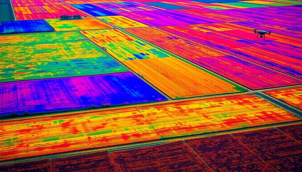
Multispectral imaging in aerial mapping offers you five key benefits that transform how you analyze and manage land. You'll enhance crop health monitoring, enabling precise decisions on fertilization and irrigation. You can manage water resources more effectively, optimizing irrigation and conserving water. Early pest detection becomes possible, allowing targeted interventions and reduced pesticide use. Land use classification improves, creating accurate maps for urban planning and resource allocation. Finally, you'll conduct more thorough environmental impact assessments, monitoring changes and ensuring compliance with regulations. These advantages revolutionize agriculture, land management, and environmental conservation, opening up a world of possibilities for data-driven decision-making.
Key Takeaways
- Enhances crop health monitoring by detecting subtle changes invisible to the naked eye, supporting precision agriculture.
- Enables precise water management through soil moisture mapping and plant water stress detection.
- Facilitates early pest detection, allowing for targeted interventions and reduced pesticide use.
- Improves land use classification, creating accurate maps for urban planning and resource allocation.
- Supports environmental impact assessments by monitoring ecosystem changes and identifying pollution sources.
Enhanced Crop Health Monitoring
In line with modern agricultural practices, multispectral imaging has revolutionized crop health monitoring. You'll find that this technology allows you to detect subtle changes in plant health that aren't visible to the naked eye. By capturing data across multiple spectral bands, you can identify issues like nutrient deficiencies, pest infestations, and water stress early on.
With multispectral imaging, you're able to create vegetation indices like NDVI (Normalized Difference Vegetation Index) that provide quantitative measures of crop vigor. This data helps you make informed decisions about fertilizer application, irrigation, and pest control. You can also use these images to track crop growth stages and predict yields more accurately.
The technology enables you to cover large areas quickly and efficiently, making it ideal for monitoring expansive fields. You'll save time and resources by pinpointing problem areas that require immediate attention.
Additionally, multispectral imaging allows you to create detailed maps of your fields, helping you implement precision agriculture techniques. By tailoring your management practices to specific zones within your fields, you'll optimize resource use and potentially increase your overall crop yield and quality.
Precise Water Management
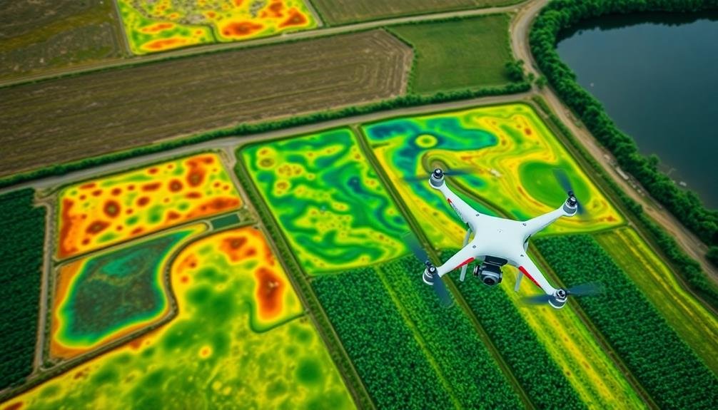
Precise water management stands as a critical application of multispectral imaging in aerial mapping. You'll find this technology invaluable for optimizing irrigation strategies and conserving water resources. By capturing data across multiple spectral bands, you can detect subtle variations in soil moisture and plant water content.
Here's how multispectral imaging aids in water management:
| Benefits | Applications |
|---|---|
| Soil moisture mapping | Irrigation scheduling |
| Plant water stress detection | Drought monitoring |
| Water use efficiency analysis | Leak detection |
| Runoff and drainage assessment | Flood risk management |
You'll be able to identify areas of over- or under-irrigation, allowing for targeted adjustments to your watering practices. This precision approach not only conserves water but also promotes healthier crop growth and higher yields.
By analyzing multispectral data, you can create detailed water stress maps, highlighting areas that require immediate attention. This information enables you to make informed decisions about when and where to apply irrigation, reducing waste and maximizing resource efficiency.
You'll also gain insights into long-term water management trends, helping you plan for future water needs and adapt to changing climate conditions. With multispectral imaging, you're equipped to implement sustainable water management practices that benefit both agriculture and the environment.
Early Pest Detection
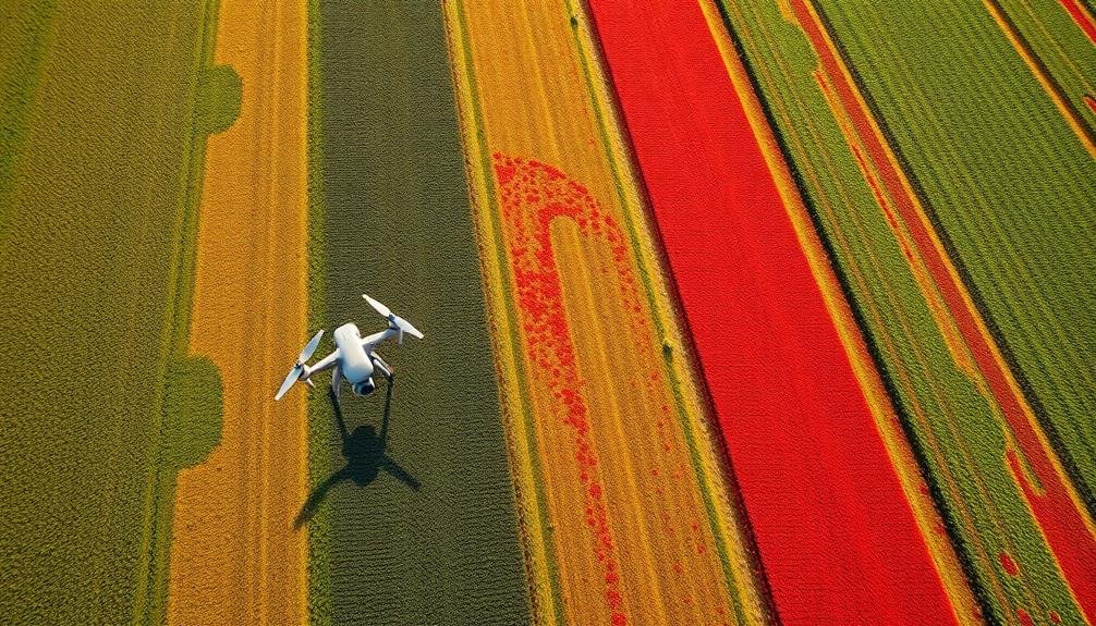
Multispectral imaging's power extends to early pest detection, giving you a critical edge in crop protection. By capturing data across multiple spectral bands, you'll identify subtle changes in plant health before they're visible to the naked eye. This early warning system allows you to spot pest infestations in their initial stages, enabling targeted interventions.
You'll save time and resources by pinpointing affected areas, rather than treating entire fields unnecessarily. The technology detects stress signatures unique to specific pests, helping you distinguish between different types of infestations. This precision guides your choice of pest control methods, ensuring you use the most effective treatments.
Multispectral imaging also helps you monitor the effectiveness of your pest management strategies over time. You'll track the spread or containment of infestations, adjusting your approach as needed. By integrating this data with other agricultural metrics, you'll develop a thorough understanding of your crop's health and resilience.
Early pest detection through multispectral imaging ultimately leads to increased crop yields, reduced pesticide use, and improved overall farm management. You'll stay ahead of potential outbreaks, protecting your investment and ensuring a more sustainable agricultural practice.
Improved Land Use Classification
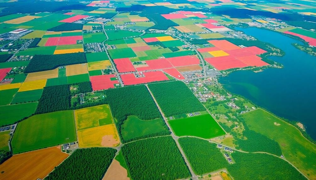
Accurate land use classification takes a significant leap forward with multispectral imaging technology. You'll find that this advanced technique allows for more precise identification of various land cover types, including urban areas, forests, agricultural fields, and water bodies. By capturing data across multiple spectral bands, you're able to detect subtle differences in reflectance that aren't visible to the naked eye or traditional RGB cameras.
With multispectral imaging, you can differentiate between crop types, assess soil moisture levels, and identify impervious surfaces in urban environments. This detailed information enables you to create more accurate land use maps, which are vital for urban planning, environmental management, and resource allocation.
You'll also be able to track changes in land use over time, helping you monitor urban sprawl, deforestation, or agricultural expansion. The improved classification accuracy you'll achieve with multispectral imaging translates into better decision-making for policymakers, urban planners, and environmental scientists.
You'll have access to more reliable data for zoning regulations, conservation efforts, and sustainable development initiatives. This technology empowers you to make informed choices about land management and resource utilization, ultimately leading to more efficient and sustainable use of our planet's limited land resources.
Environmental Impact Assessment
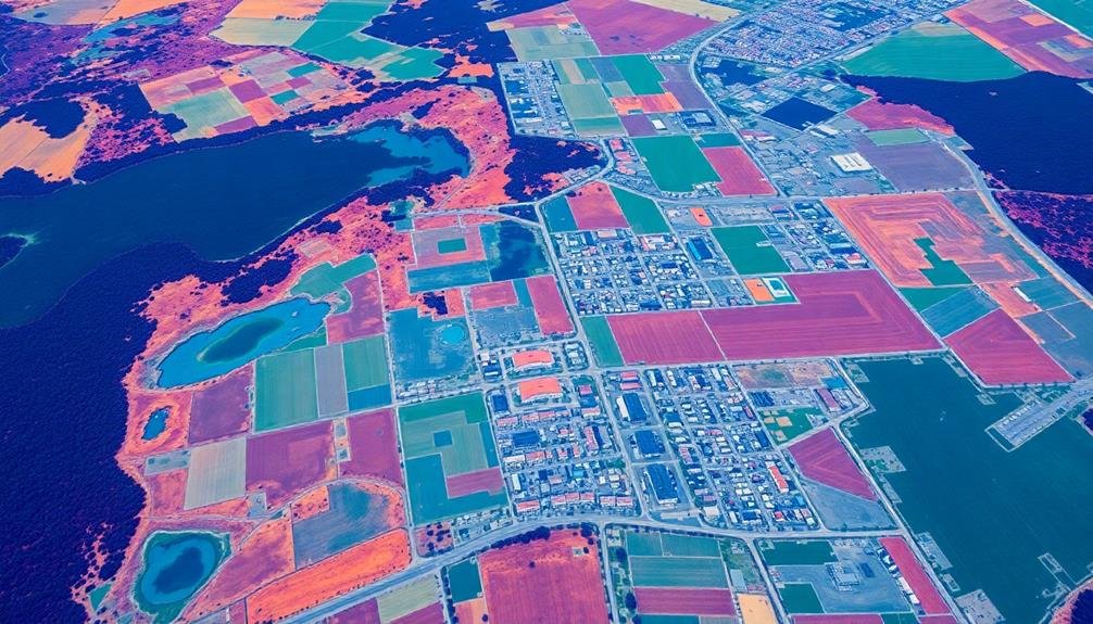
Environmental impact assessment takes on a new dimension with the power of multispectral imaging in aerial mapping. You'll find that this technology allows you to detect and analyze environmental changes with unprecedented accuracy. By capturing data across multiple spectral bands, you can identify subtle variations in vegetation health, water quality, and soil composition that might otherwise go unnoticed.
You're able to monitor deforestation, track urban sprawl, and evaluate the impact of industrial activities on ecosystems. Multispectral imaging helps you detect pollution sources, map wetlands, and identify areas at risk of erosion or landslides. It's particularly useful for evaluating the effects of natural disasters and monitoring recovery efforts.
With this tool, you can create detailed baseline maps of ecosystems and track changes over time. This enables you to quantify the environmental impact of various human activities and natural phenomena.
You'll be able to make more informed decisions about land use, conservation efforts, and mitigation strategies. Multispectral imaging also enhances your ability to comply with environmental regulations and report on sustainability initiatives.
It's an invaluable asset for environmental scientists, policymakers, and land managers seeking to balance development with conservation.
Frequently Asked Questions
What Is the Cost of Implementing Multispectral Imaging for Aerial Mapping?
You'll find costs vary widely, depending on your equipment and project scale. Basic setups start around $5,000, while advanced systems can exceed $100,000. Don't forget to factor in software, training, and data processing expenses too.
How Often Should Multispectral Imaging Surveys Be Conducted for Optimal Results?
You'll want to conduct multispectral imaging surveys regularly, but frequency depends on your specific needs. Generally, aim for quarterly or bi-annual surveys. However, if you're monitoring rapid changes, you might need monthly or even weekly surveys.
Can Multispectral Imaging Be Effective in Cloudy or Overcast Conditions?
You'll find multispectral imaging can be effective in cloudy conditions, but it's not ideal. Overcast skies reduce light intensity and may affect image quality. It's best to schedule your surveys on clear days for the most accurate results.
What Training Is Required to Interpret Multispectral Imaging Data Accurately?
You'll need specialized training in remote sensing and image analysis. You should learn about spectral signatures, data processing software, and interpretation techniques. It's also helpful to understand the specific application you're working with.
How Does Multispectral Imaging Compare to Hyperspectral Imaging in Aerial Mapping Applications?
You'll find multispectral imaging captures fewer, broader bands than hyperspectral. It's simpler and cheaper, but hyperspectral provides more detailed data. Your choice depends on the level of spectral resolution you need for your mapping project.
In Summary
You've seen how multispectral imaging revolutionizes aerial mapping. It's not just about pretty pictures; it's a game-changer for agriculture, water management, and environmental protection. By adopting this technology, you'll make more informed decisions, save resources, and boost productivity. Don't be left behind – embrace multispectral imaging to stay ahead in your field. The future of mapping is here, and it's more colorful and insightful than ever before.

As educators and advocates for responsible drone use, we’re committed to sharing our knowledge and expertise with aspiring aerial photographers.


Leave a Reply