Mapping precision in UAV surveys depends on several key factors. You'll need to take into account flight altitude, which affects image resolution and coverage area. Camera quality and GPS accuracy are essential for capturing detailed, well-positioned data. Ground Control Points (GCPs) anchor your survey to real-world coordinates, while proper overlap and sidelap percentages guarantee thorough coverage. Your flight path, drone stability, and weather conditions all impact data quality. Don't forget about processing software and georeferencing techniques, which refine your raw data into accurate maps. By optimizing these elements, you'll achieve superior mapping results. Dive deeper to master the intricacies of each factor and elevate your UAV surveying skills.
Key Takeaways
- Flight altitude and image resolution affect the balance between coverage area and detail level in mapping.
- Camera quality and specifications, including sensor size and lens quality, impact image detail and map accuracy.
- GPS accuracy and positioning, especially with high-grade receivers and RTK/PPK corrections, enhance survey precision.
- Ground Control Points (GCPs) anchor surveys to real-world coordinates, with their number and placement crucial for accuracy.
- Overlap and sidelap percentages between images influence data quality and processing requirements for mapping projects.
Flight Altitude and Image Resolution

In UAV surveys, flight altitude directly impacts image resolution. As you increase your drone's altitude, you'll capture a larger area in each image, but at the cost of reduced ground resolution.
Lower altitudes provide higher resolution images, allowing you to detect smaller objects and details on the ground. You'll need to balance coverage area with the level of detail required for your specific mapping project.
For example, if you're mapping large agricultural fields, you might fly at a higher altitude to cover more ground efficiently. However, if you're surveying archaeological sites or conducting infrastructure inspections, you'll want to fly lower for finer details.
Remember that image resolution affects more than just visual quality. It's essential for accurate photogrammetry and 3D model generation. Higher resolution images provide more data points for software to work with, potentially resulting in more precise measurements and models.
Consider your camera's sensor size and lens focal length when planning your flight altitude. These factors, combined with altitude, determine your ground sampling distance (GSD), which is a key measure of your map's spatial resolution.
Camera Quality and Specifications

Selecting the right camera for your UAV mapping project can make or break your results. You'll want to focus on several key specifications to guarantee peak mapping precision.
First, consider the sensor size and resolution. Larger sensors with higher megapixel counts generally capture more detailed images, leading to better map quality. However, don't assume that more megapixels always mean better results; sensor quality and pixel size are equally important.
Look for cameras with global shutters, as they reduce distortion in fast-moving UAVs compared to rolling shutters.
Pay attention to the lens quality and focal length, which affect image sharpness and field of view. A wider field of view can cover more ground but may sacrifice detail.
Don't overlook the camera's ISO range and low-light performance, especially if you'll be mapping in varied lighting conditions.
Additionally, consider the camera's frame rate and shutter speed, as faster speeds can help reduce motion blur.
GPS Accuracy and Positioning
When it comes to GPS accuracy and positioning in UAV surveys, you'll find that the quality of your GPS receiver plays an essential role.
You can markedly enhance your survey's precision by using a high-grade receiver that offers better signal reception and processing capabilities.
Additionally, incorporating ground control points into your survey area will help you achieve more accurate georeferencing and improve the overall spatial accuracy of your mapping results.
Receiver Quality Matters
While many factors influence UAV mapping precision, the quality of your GPS receiver plays a crucial role in achieving accurate positioning. When you're selecting a GPS receiver for your UAV, you'll want to reflect on several key aspects that can greatly impact your survey results.
High-quality receivers offer:
- Better signal reception in challenging environments
- Faster acquisition times for satellite signals
- Improved multipath mitigation capabilities
- Higher update rates for more frequent position fixes
- Enhanced resistance to interference from other electronic devices
You'll find that premium receivers often utilize multi-constellation systems, combining GPS with GLONASS, Galileo, or BeiDou for improved accuracy and reliability.
They may also support real-time kinematic (RTK) or post-processed kinematic (PPK) corrections, which can dramatically enhance positioning precision.
Don't underestimate the significance of antenna quality, either. A well-designed antenna can improve signal reception and reduce multipath errors.
When you invest in a high-quality receiver and antenna combination, you're setting yourself up for success in achieving centimeter-level accuracy in your UAV surveys, ultimately leading to more precise mapping results.
Ground Control Points
Ground Control Points (GCPs) anchor your UAV survey to real-world coordinates, greatly enhancing the accuracy of your mapping project. These physical markers, precisely measured using high-accuracy GPS equipment, serve as reference points for your drone's imagery.
When planning your survey, consider the number and distribution of GCPs. You'll typically need at least five GCPs, but more complex terrains may require additional points. Spread them evenly across your survey area, paying special attention to the corners and edges.
The accuracy of your GCPs directly impacts your final map's precision. Use survey-grade GPS equipment capable of centimeter-level accuracy. RTK (Real-Time Kinematic) or PPK (Post-Processed Kinematic) GPS systems are ideal for this task.
Remember, GCP placement is essential. Choose locations that are easily identifiable in your aerial imagery and accessible on the ground.
Avoid placing GCPs near tall structures or dense vegetation that might obstruct satellite signals.
Ground Control Points (GCPs)
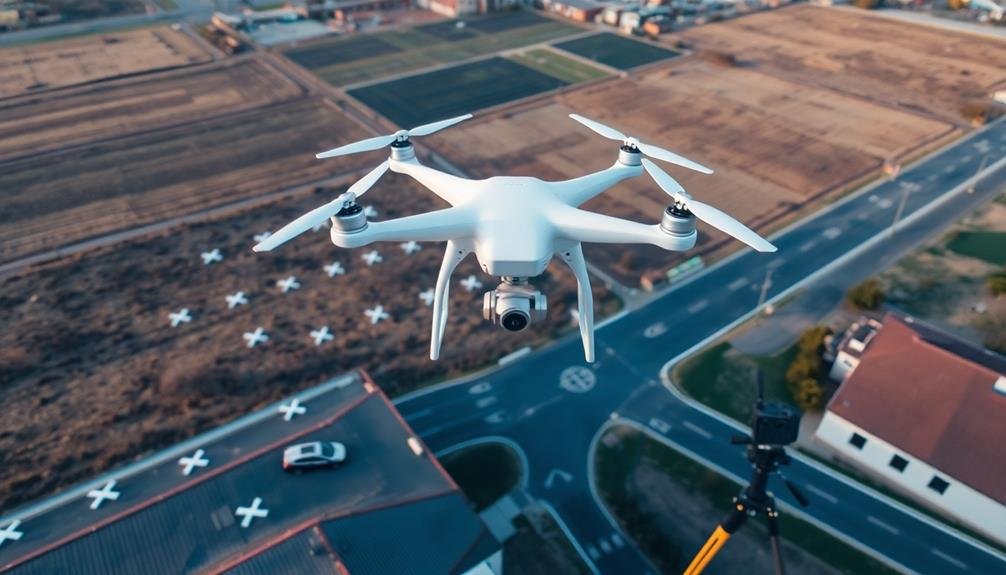
Ground Control Points (GCPs) are critical for enhancing the accuracy of your UAV survey.
You'll need to contemplate strategic placement of GCPs, determining the ideal number for your project, and understanding their impact on overall accuracy.
GCP Placement Strategies
Strategically placing Ground Control Points (GCPs) is vital for enhancing the accuracy of UAV surveys. You'll want to distribute GCPs evenly throughout your survey area, paying special attention to the corners and edges.
It's important to place GCPs on stable, easily identifiable locations that won't shift during your survey.
When planning your GCP placement, consider these key strategies:
- Place GCPs at different elevations to capture terrain variations
- Verify GCPs are visible in multiple images for better triangulation
- Avoid placing GCPs in areas with heavy vegetation or shadows
- Use a minimum of 5 GCPs for small areas, increasing for larger surveys
- Space GCPs at regular intervals, typically every 100-200 meters
Number of GCPs
In light of the significance of GCPs, determining the ideal number for your UAV survey is vital. The number of GCPs you'll need depends on several factors, including the size of your survey area, desired accuracy, and project requirements. Generally, more GCPs lead to higher accuracy, but there's a point of diminishing returns.
For small to medium-sized projects, you might start with 5-10 GCPs. Larger areas or projects requiring higher precision may need 15-20 or more. It's essential to distribute these points evenly across your survey area, paying special attention to the corners and edges.
You'll want to take into account the terrain complexity too. Areas with varied elevation or dense vegetation might require additional GCPs to guarantee accurate mapping. Remember, each GCP adds time and cost to your survey, so balance accuracy needs with practical constraints.
Some studies suggest that accuracy improvements plateau after a certain number of GCPs. You can conduct test flights with varying numbers of GCPs to determine the best amount for your specific project. This approach helps you achieve the required precision without unnecessary time and resource expenditure.
GCP Accuracy Impact
The accuracy of your Ground Control Points (GCPs) directly influences the overall precision of your UAV survey. When you're using high-accuracy GCPs, you're setting a solid foundation for your mapping project.
These precise reference points allow you to align and calibrate your aerial imagery with greater accuracy, resulting in more reliable maps and 3D models.
The impact of GCP accuracy on your UAV survey can be seen in several ways:
- Improved georeferencing: Accurate GCPs help you position your data correctly in real-world coordinates
- Enhanced vertical accuracy: Precise elevation data leads to better terrain modeling
- Reduced distortion: Accurate GCPs minimize warping and stretching in your final map
- Increased reliability: High-quality GCPs provide more trustworthy results for analysis and decision-making
- Better error detection: Accurate GCPs make it easier to identify and correct issues in your survey data
To maximize GCP accuracy, you'll want to use high-precision surveying equipment, such as RTK GNSS receivers.
You should also carefully consider GCP placement, ensuring they're evenly distributed and located on stable, easily identifiable features.
Overlap and Sidelap Percentages
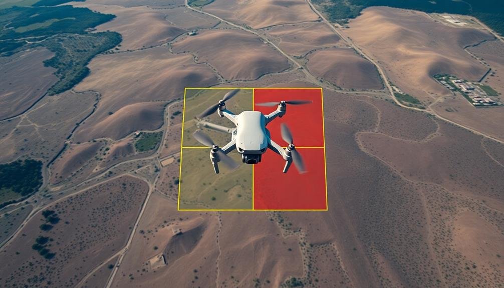
Percentages play an essential role in determining the quality of UAV survey data. When planning your drone flight, you'll need to contemplate both overlap and sidelap percentages. Overlap refers to the amount of shared area between consecutive images along a flight line, while sidelap is the shared area between adjacent flight lines.
Higher percentages generally result in better data quality but increase flight time and processing requirements. Here's a quick guide to help you choose appropriate percentages:
| Terrain Type | Overlap % | Sidelap % | Notes |
|---|---|---|---|
| Flat, open | 60-70 | 30-40 | Minimal |
| Urban areas | 70-80 | 50-60 | Complex structures |
| Forests | 80-90 | 60-70 | Dense canopy |
| Mountainous | 80-90 | 70-80 | Varied elevations |
You'll need to adjust these percentages based on your specific project requirements and environmental conditions. Remember, insufficient overlap can lead to gaps in your data or poor model reconstruction. Conversely, excessive overlap may not considerably improve quality but will increase your project's time and cost. Aim for a balance that meets your accuracy needs while optimizing efficiency.
Weather Conditions and Lighting
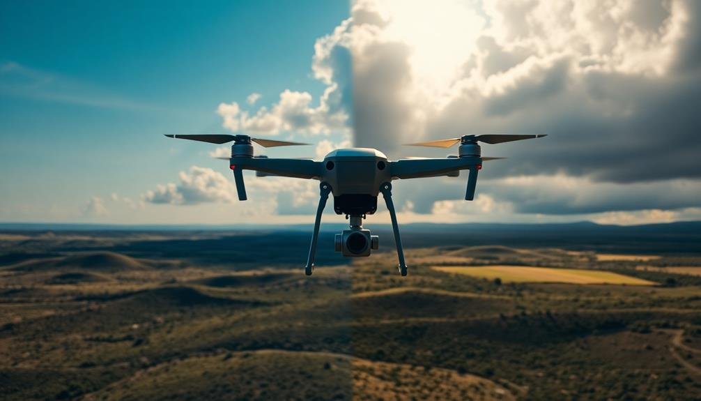
During UAV surveys, weather conditions and lighting play essential roles in data quality and mission success. You'll need to take into account various atmospheric factors that can impact your drone's performance and the quality of imagery captured.
Wind speed and direction are critical, as strong gusts can affect flight stability and image clarity. Temperature extremes can also influence battery life and sensor performance.
Lighting conditions greatly impact image quality and data accuracy. You'll want to avoid flying during times of harsh shadows or glare, which can obscure important details. Overcast days often provide ideal diffused lighting for aerial surveys.
Here are key weather and lighting factors to take into account:
- Wind speed and direction
- Cloud cover and precipitation
- Temperature and humidity
- Time of day and sun angle
- Seasonal variations in vegetation and landscape
Terrain Complexity and Vegetation
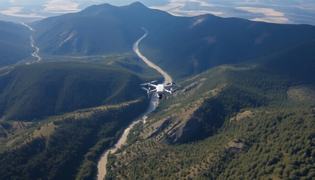
You'll encounter significant challenges when surveying areas with complex terrain and dense vegetation.
Topographic relief can impact the accuracy of your UAV measurements, requiring careful flight planning and potentially multiple passes.
Dense canopies may obstruct ground-level features, affecting the quality and completeness of your aerial imagery and data collection.
Topographic Relief Challenges
In areas with complex topography and dense vegetation, UAV surveys face significant challenges that can affect mapping precision. You'll find that steep slopes, deep valleys, and abrupt elevation changes can create blind spots for your UAV's sensors, leading to incomplete data collection.
These terrain features can also interfere with GPS signals, reducing the accuracy of your position data.
When dealing with topographic relief challenges, consider the following:
- Use higher-resolution sensors to capture more detailed terrain data
- Plan flight paths that account for elevation changes
- Employ multiple overlapping flight lines to guarantee complete coverage
- Utilize ground control points in areas with challenging terrain
- Integrate LiDAR technology for improved penetration through vegetation
You'll need to adjust your survey parameters based on the specific terrain you're mapping. In mountainous regions, you may need to fly at a higher altitude to maintain a consistent ground sampling distance.
However, this can reduce overall image resolution. To compensate, you might need to increase image overlap or use a higher-resolution camera.
Dense Canopy Effects
Dense canopy cover presents another layer of complexity for UAV mapping projects. When you're surveying areas with thick vegetation, you'll face challenges in capturing accurate ground data. The dense foliage obstructs the view of the terrain beneath, making it difficult for UAV sensors to penetrate and collect precise information.
You'll need to take into account several factors when dealing with dense canopy. First, the type of sensors you're using plays an essential role. LiDAR technology can penetrate vegetation better than traditional photogrammetry, allowing you to capture more detailed ground information. However, even LiDAR has limitations in extremely dense forests.
Flight altitude and speed also impact your ability to map through canopy. Flying lower and slower can improve data collection, but you'll need to balance this with safety considerations and battery life constraints.
Additionally, you should plan your flights during leaf-off seasons when possible, as deciduous trees will have less foliage, allowing for better ground visibility.
To improve accuracy, you can combine UAV data with ground-based measurements or use multi-temporal surveys to capture seasonal variations in vegetation cover. This approach helps you build a more thorough and precise map of the area.
Flight Path and Survey Pattern
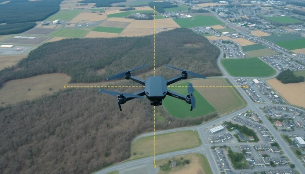
When planning UAV surveys, the flight path and survey pattern play essential roles in determining the quality and accuracy of the resulting map. You'll need to take into account several factors to enhance your survey's precision.
First, choose an appropriate flight altitude. Flying higher covers more ground but reduces resolution, while flying lower increases detail but takes longer. Next, decide on the amount of image overlap. Greater overlap improves accuracy but increases processing time and data storage requirements.
Reflect on these key elements when designing your flight path and survey pattern:
- Grid pattern: Guarantees consistent coverage
- Cross-hatch pattern: Provides better data for 3D modeling
- Terrain-following mode: Maintains constant height above ground
- Circular pattern: Useful for specific structures or points of interest
- Waypoint navigation: Allows for custom flight paths
You'll also want to account for wind conditions, as they can affect the UAV's ability to maintain a consistent path. Adjust your flight speed accordingly to guarantee stable image capture.
Drone Stability and Vibration
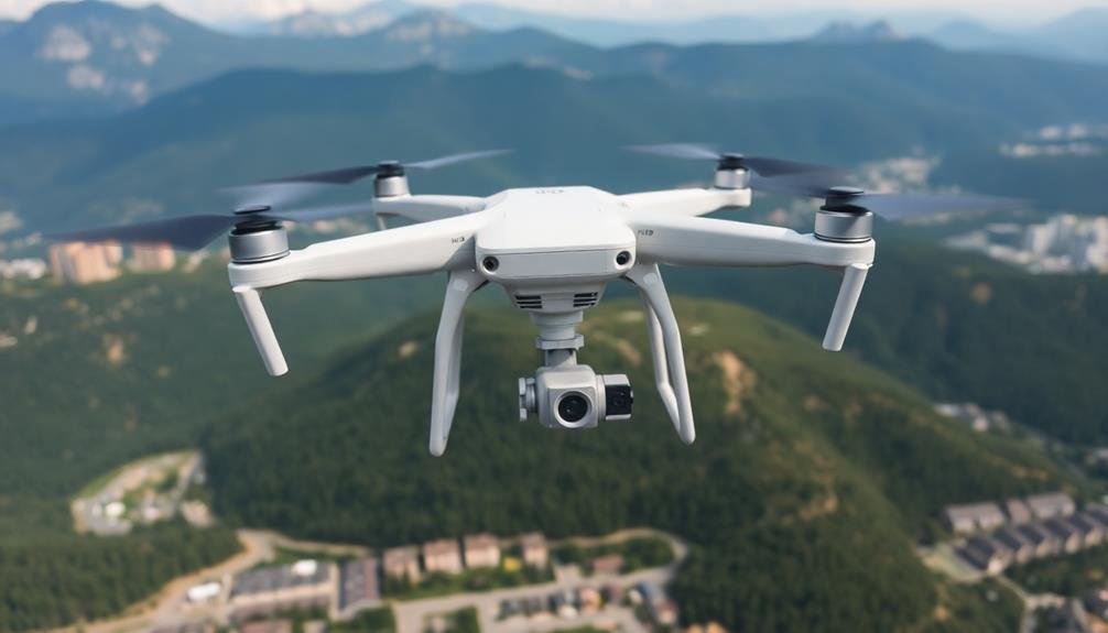
While a well-planned flight path is significant, the stability of your drone during flight considerably impacts mapping precision. Vibrations and sudden movements can cause blurry or distorted images, reducing the accuracy of your survey data. To minimize these issues, you'll need to take into account several factors.
First, choose a drone with a high-quality gimbal system. This will help stabilize the camera and counteract the UAV's movements. You should also make sure your drone has reliable GPS and inertial measurement unit (IMU) systems, which work together to maintain stable flight.
Wind conditions play a vital role in drone stability. You'll want to avoid surveying on particularly windy days, as this can cause your drone to drift or shake. If you must fly in light winds, adjust your flight speed accordingly.
The weight distribution of your drone is another significant factor. Confirm all components are properly balanced and securely fastened. Any loose parts can cause vibrations that affect image quality.
Lastly, regular maintenance of your drone is essential. Check propellers for damage, calibrate sensors, and update firmware to keep your UAV operating smoothly and reducing unwanted vibrations during flight.
Processing Software and Algorithms

Although capturing high-quality images is essential, the software and algorithms you use to process your UAV survey data are equally important for achieving mapping precision.
You'll need to choose robust photogrammetry software that can handle large datasets and produce accurate 3D models, orthomosaics, and Digital Elevation Models (DEMs).
When selecting processing software, consider these key factors:
- Accuracy of georeferencing and alignment algorithms
- Ability to handle various camera types and sensor data
- Advanced features like automatic tie point detection
- Cloud processing capabilities for faster results
- Integration with GIS and CAD software
You'll want to guarantee your chosen software can perform bundle adjustment, which optimizes camera positions and ground control points.
It's also vital to use algorithms that can detect and filter out noise and outliers in your data. Pay attention to the software's ability to generate dense point clouds, as this greatly affects the final map's resolution and accuracy.
Don't overlook the importance of proper calibration settings within the software.
You'll need to input accurate camera parameters and adjust processing settings based on your specific survey requirements.
Georeferencing and Calibration Techniques
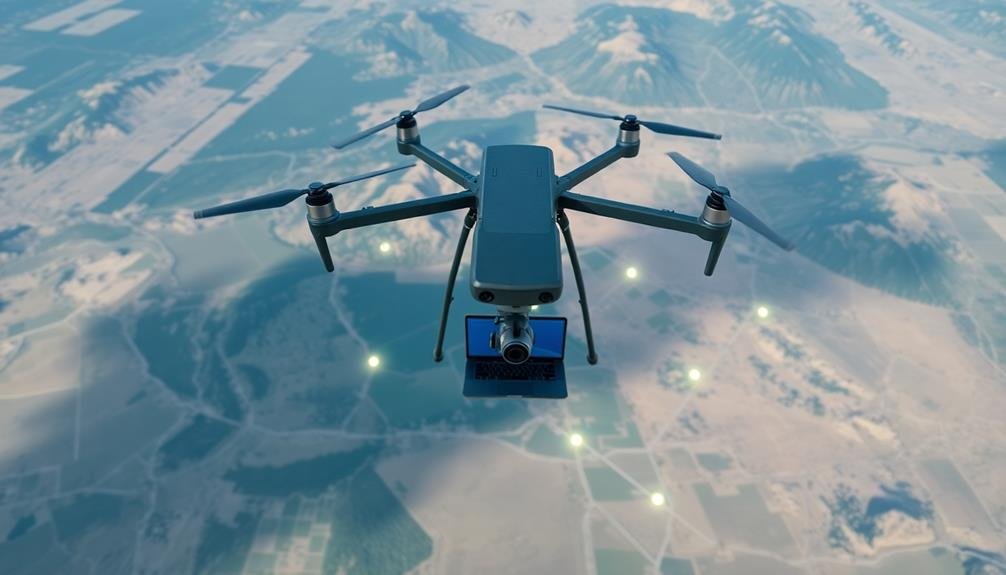
Proper georeferencing and calibration are critical steps in achieving high-precision UAV mapping. You'll need to establish accurate ground control points (GCPs) using high-precision GPS equipment. These GCPs serve as reference points to align your aerial imagery with real-world coordinates. Distribute them evenly across your survey area, guaranteeing they're visible in multiple images.
For camera calibration, you'll want to determine the intrinsic parameters of your UAV's camera. This includes focal length, principal point, and lens distortion coefficients. You can use specialized calibration targets or perform in-field calibration during the survey.
Don't forget to account for the camera's position and orientation relative to the UAV's GPS antenna. Consider using RTK (Real-Time Kinematic) or PPK (Post-Processed Kinematic) GPS systems for enhanced accuracy. These methods can notably reduce the number of GCPs required and improve overall mapping precision.
You'll also need to calibrate your UAV's inertial measurement unit (IMU) to guarantee accurate attitude information. Remember to validate your georeferencing and calibration results using check points. This will help you assess the accuracy of your final map products and identify any systematic errors in your workflow.
Frequently Asked Questions
How Does Battery Life Affect UAV Mapping Precision?
Battery life directly impacts your UAV mapping precision. You'll have less time for data collection with shorter battery life, potentially leading to incomplete surveys or rushed operations. This can result in gaps or lower-quality data in your mapping outputs.
What Role Does the Drone Pilot's Experience Play in Survey Accuracy?
You'll find that an experienced pilot greatly improves survey accuracy. They're skilled at maintaining steady flight paths, adjusting for wind conditions, and optimizing camera settings. Their expertise guarantees consistent image overlap and reduces errors in data collection.
How Do Different Payload Types Impact Mapping Results?
You'll find that different payloads greatly affect your mapping results. Optical cameras offer high-resolution imagery, while LiDAR provides precise 3D data. Multispectral sensors capture unique spectral information, and thermal cameras detect heat signatures for specialized applications.
Can Obstacle Avoidance Systems Influence the Quality of UAV Surveys?
Yes, obstacle avoidance systems can impact your UAV survey quality. They'll help you navigate tricky terrain, avoiding collisions that could disrupt data collection. However, they may also alter flight paths, potentially affecting mapping precision and coverage.
What Effect Does Post-Processing Time Have on Final Map Accuracy?
You'll find that more post-processing time generally improves map accuracy. It allows for better data refinement, error correction, and point cloud optimization. However, there's a diminishing return, so you'll need to balance accuracy with time constraints.
In Summary
You've explored the key factors influencing UAV survey precision. Remember, it's not just about your drone's capabilities. You'll need to take into account flight altitude, camera quality, GPS accuracy, and ground control points. Don't forget overlap percentages and flight patterns. Your drone's stability matters, as does your choice of processing software. Finally, pay attention to georeferencing and calibration techniques. By optimizing these elements, you'll achieve the best possible mapping precision in your UAV surveys.

As educators and advocates for responsible drone use, we’re committed to sharing our knowledge and expertise with aspiring aerial photographers.
Leave a Reply