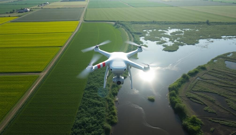
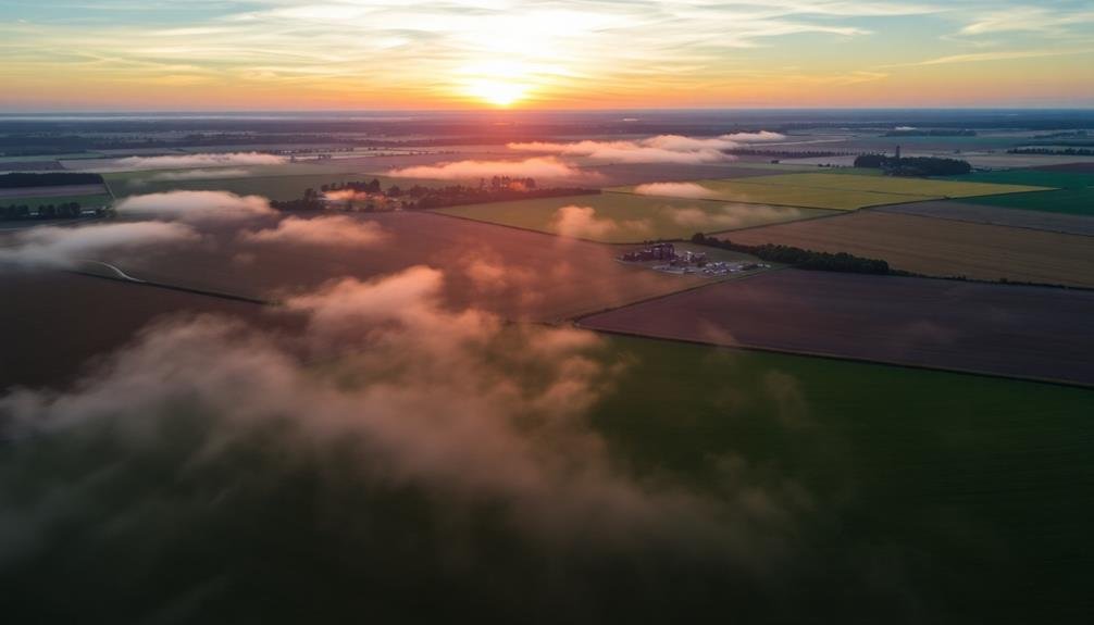
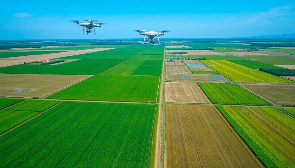
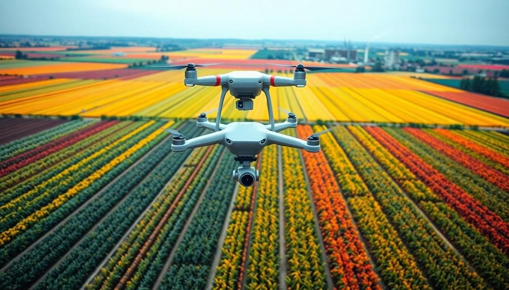
Aerial surveillance technologies have revolutionized farm pollution detection. You can now use drones, satellites, and aircraft equipped with advanced sensors to spot issues from above. These "eyes in the sky" capture high-resolution imagery to reveal pollution indicators like algal blooms, sediment plumes, and unusual water coloration. They're also great for monitoring fertilizer overuse, pesticide drift, and illegal agricultural practices. With multispectral cameras, thermal imaging, and AI-powered analysis, you'll get an extensive view of environmental impact. Real-time alert systems even notify you when pollutant levels exceed thresholds. The future of sustainable farming is looking up – literally.
Aerial Surveillance of Agricultural Runoff
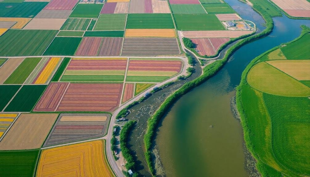
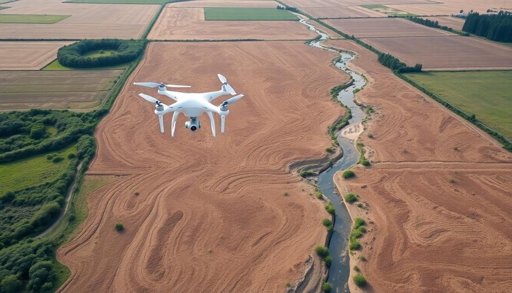
From high above, aerial surveillance offers a powerful tool for detecting and monitoring agricultural runoff. You'll find that drones, satellites, and manned aircraft equipped with specialized sensors can capture high-resolution imagery of farmlands and surrounding waterways. These images reveal telltale signs of pollution, such as algal blooms, sediment plumes, and unusual water coloration.
You can use multispectral and hyperspectral cameras to detect specific pollutants, including nitrates and phosphates from fertilizers. Thermal imaging helps you identify temperature anomalies that may indicate contaminated water sources. By combining these technologies with GPS data, you'll create accurate maps of pollution hotspots and track their progression over time.
Real-time monitoring allows you to respond quickly to emerging pollution events. You'll be able to alert farmers and environmental agencies, enabling swift action to mitigate damage.
Regular aerial surveys also help you assess the effectiveness of conservation practices and land management strategies. By analyzing long-term data trends, you can identify patterns in runoff behavior and predict future pollution risks. This information proves invaluable for developing targeted pollution prevention measures and improving agricultural sustainability.
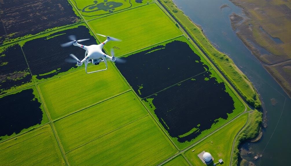
Drones for Detecting Fertilizer Overuse
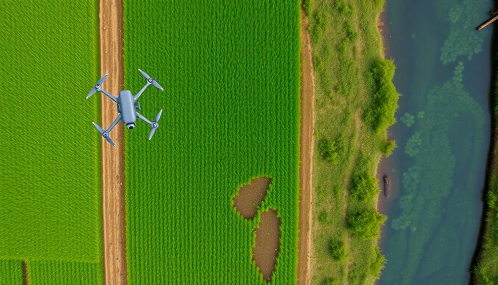
Drones have emerged as a game-changer in the fight against fertilizer overuse. These unmanned aerial vehicles equipped with advanced sensors can quickly scan large agricultural areas, providing farmers and environmental agencies with valuable data on nutrient levels in the soil and crops.
You'll find that drones can detect variations in plant health through multispectral imaging, which captures light reflectance across different wavelengths. This technology allows you to identify areas where excessive fertilizer application has occurred, as well as spots where nutrients may be lacking.
By using drones, you're able to create precise fertilizer application maps, ensuring that you apply the right amount of nutrients exactly where they're needed. This targeted approach not only reduces costs but also minimizes the risk of excess fertilizer running off into nearby water bodies.
Furthermore, drones can be programmed to conduct regular surveys, allowing you to monitor changes in soil and crop health over time. This continuous monitoring helps you make data-driven decisions about fertilizer use, ultimately leading to more sustainable farming practices and reduced environmental impact.
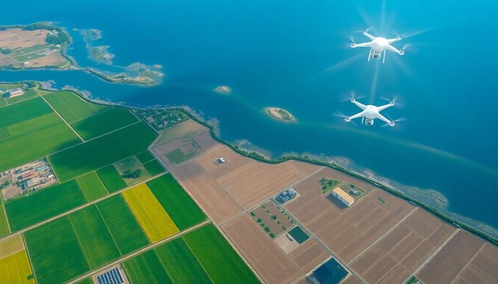
Mapping Water Contamination From Above
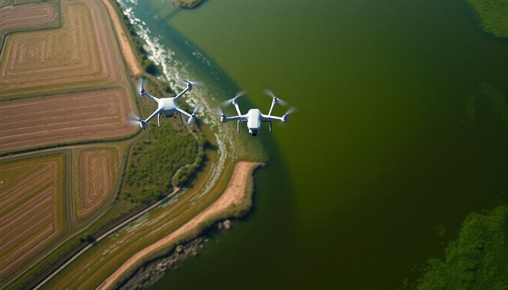
While drones excel at detecting fertilizer overuse on land, they're equally adept at mapping water contamination from above. You'll find that drones equipped with specialized cameras and sensors can capture high-resolution images of water bodies, revealing telltale signs of pollution.
These aerial surveys allow you to identify algal blooms, oil slicks, and chemical discharges that might otherwise go unnoticed. By using multispectral and hyperspectral imaging, you can detect subtle changes in water color and composition. This technology enables you to pinpoint sources of contamination, such as agricultural runoff or industrial discharge points.
You'll also be able to track the spread of pollutants over time, helping you understand their impact on aquatic ecosystems. Thermal imaging cameras on drones let you spot temperature differences in water, which can indicate the presence of pollutants or unauthorized discharges.
With this data, you can create detailed pollution maps, guiding targeted cleanup efforts and informing policy decisions. By combining drone-captured imagery with satellite data and ground-based measurements, you'll gain a thorough understanding of water quality issues in your area, enabling more effective environmental management and protection strategies.
Identifying Pesticide Drift Patterns
You'll find aerial imaging techniques essential for detecting pesticide drift patterns across agricultural areas.
By employing spectral analysis methods, you can identify the unique signatures of various pesticides in the environment.
These advanced tools allow you to track the spread and concentration of agricultural chemicals, helping to assess their impact on surrounding ecosystems and communities.
Aerial Imaging Techniques
Aerial imaging has revolutionized the way we detect and analyze pesticide drift patterns in agricultural settings. You'll find that drones equipped with multispectral cameras are now at the forefront of this technology. These devices capture images across various light spectrums, allowing you to identify areas affected by pesticide drift.
When you're using aerial imaging, you'll want to focus on near-infrared (NIR) and thermal imaging. NIR can help you spot vegetation stress caused by pesticide exposure, while thermal imaging detects temperature variations that may indicate drift patterns.
You'll also find that hyperspectral imaging is gaining traction, as it can identify specific chemical signatures of pesticides.
To get the most accurate results, you should conduct flights at different times of day and under varying weather conditions. This will help you build a thorough picture of drift patterns over time. Don't forget to use GPS tagging for precise location data.
Once you've collected the imagery, you'll need specialized software to analyze it. Look for programs that can create color-coded maps highlighting areas of concern. These tools can help you quantify the extent of drift and track changes over time.
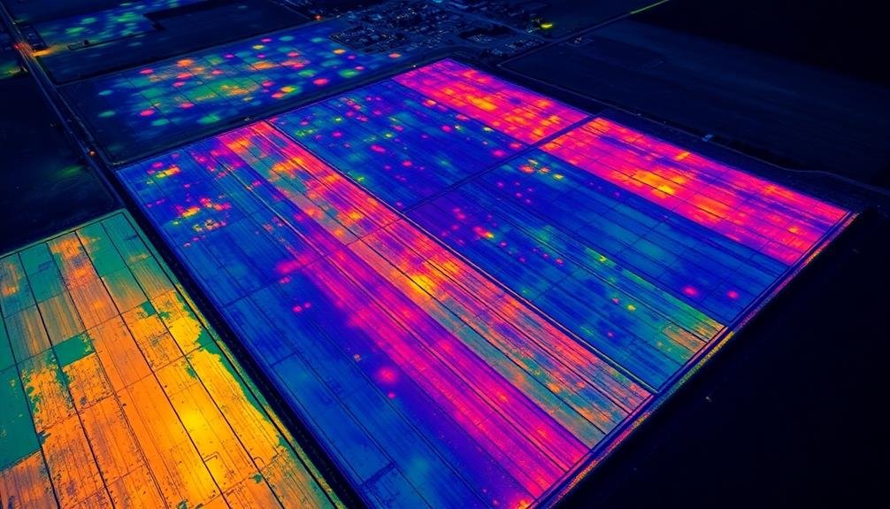
Spectral Analysis Methods
Delving into spectral analysis methods, you'll find powerful tools for identifying pesticide drift patterns. These techniques utilize the unique spectral signatures of different chemicals to detect and map their presence across farmlands. You'll use specialized sensors that capture light reflectance data across various wavelengths, including visible and near-infrared spectra.
By analyzing this data, you can pinpoint areas affected by pesticide drift, assess the extent of contamination, and track changes over time. Here's a breakdown of key spectral analysis methods:
| Method | Principle | Application |
|---|---|---|
| Hyperspectral Imaging | Captures hundreds of narrow spectral bands | Detailed chemical composition analysis |
| Multispectral Imaging | Uses a few broad spectral bands | Rapid large-area screening |
| Thermal Imaging | Detects heat signatures | Identifying recent pesticide applications |
You'll often combine these methods with machine learning algorithms to improve accuracy and automate the detection process. This approach allows you to quickly identify potential pollution hotspots, guide targeted sampling efforts, and monitor the effectiveness of mitigation strategies. By leveraging spectral analysis, you're enhancing your ability to protect ecosystems and human health from the unintended consequences of pesticide use.
Thermal Imaging for Soil Degradation
Three key applications of thermal imaging have revolutionized the detection of soil degradation on farms.
First, you'll find that thermal cameras can identify areas of soil compaction. Compacted soil retains heat differently than healthy soil, allowing you to spot problem areas quickly. This information helps you target your remediation efforts more effectively.
Secondly, thermal imaging detects soil moisture variations. By analyzing temperature differences across your fields, you can identify areas of poor drainage or excessive dryness. This knowledge enables you to adjust your irrigation practices and improve overall soil health.
Lastly, you can use thermal imaging to detect nutrient deficiencies. Plants under stress due to lack of nutrients often have higher leaf temperatures. By scanning your crops, you'll spot these temperature anomalies and address nutrient issues before they become severe.
You'll find that thermal imaging provides a non-invasive, efficient way to monitor soil health across large areas.
Multispectral Analysis of Crop Health
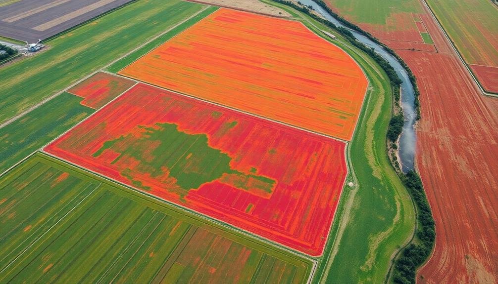
Regularly, farmers are turning to multispectral analysis to gain deeper insights into crop health. This advanced technique uses specialized cameras to capture images across different wavelengths of light, revealing information invisible to the naked eye.
You'll find that multispectral analysis can detect early signs of stress, disease, or nutrient deficiencies in crops before they become visible.
By analyzing these images, you can identify:
- Areas of water stress or drought
- Pest infestations
- Nutrient imbalances
- Plant diseases
- Variations in crop maturity
You'll be able to make data-driven decisions about irrigation, fertilization, and pest management, optimizing your farm's productivity and reducing environmental impact.
Multispectral analysis can help you pinpoint specific areas that need attention, allowing for targeted interventions rather than blanket treatments.
This technology isn't just for large-scale operations. Even small farms can benefit from drone-mounted multispectral cameras or satellite imagery services.
Tracking Livestock Waste Management
While crop health is vital, managing livestock waste is equally important for sustainable farming. Satellite imagery and drones can help you monitor and improve your farm's waste management practices. You'll be able to identify potential problem areas, such as overflowing lagoons or improper disposal sites, before they become environmental hazards.
Using high-resolution imagery, you can track the spread of manure on fields, ensuring even distribution and preventing over-application. This data helps you optimize nutrient recycling while minimizing runoff risks.
You'll also be able to detect changes in vegetation patterns near waste storage areas, which may indicate leaks or contamination. Thermal imaging can reveal hotspots in compost piles, allowing you to maintain ideal decomposition conditions.
You can use multispectral analysis to assess the health of buffer zones and filter strips, essential for mitigating pollution. By integrating this aerial data with ground-based sensors, you'll create a thorough waste management system that meets regulatory requirements and protects local ecosystems.
Ultimately, these technologies empower you to make informed decisions, reduce environmental impact, and improve your farm's overall efficiency in handling livestock waste.
Monitoring Irrigation Efficiency Remotely
You can use satellite imagery analysis to assess irrigation efficiency on farms from afar.
By examining spectral data and vegetation indices, you'll identify areas of over- or under-watering.
This remote monitoring enables you to optimize water usage, reducing waste and potential runoff pollution.
Satellite Imagery Analysis
In recent years, satellite imagery analysis has revolutionized how we monitor irrigation efficiency on farms. You can now access high-resolution images of agricultural lands from space, allowing for a thorough view of water usage patterns. These images provide valuable data on crop health, soil moisture levels, and overall irrigation effectiveness.
By analyzing satellite imagery, you'll be able to:
- Identify areas of overwatering or underwatering
- Detect leaks or malfunctions in irrigation systems
- Track changes in crop health and growth patterns
- Assess the impact of weather conditions on water needs
- Compare water usage across different fields or regions
This technology enables you to make data-driven decisions about your irrigation practices, leading to more efficient water use and improved crop yields. You'll be able to spot potential issues before they become major problems, saving time and resources.
Satellite imagery analysis also allows for large-scale monitoring of multiple farms or entire regions, making it an invaluable tool for agricultural policymakers and researchers. As this technology continues to advance, you'll have access to even more detailed and frequent data, further enhancing your ability to optimize irrigation practices and reduce water waste on farms.
Water Usage Optimization
Numerous technologies have emerged to help farmers monitor and enhance water usage remotely.
You'll find satellite-based systems that track soil moisture levels across vast agricultural areas, allowing you to make informed decisions about when and where to irrigate. These systems use multispectral imaging to detect crop stress and water deficiency, enabling you to target your irrigation efforts precisely.
You can also employ drone technology to gather high-resolution data on crop health and water needs. Drones equipped with thermal cameras can identify areas of heat stress, indicating where water is most needed.
They'll provide you with detailed maps of your fields, highlighting irrigation problem spots and inefficiencies.
Smart irrigation systems are another tool at your disposal. These systems use soil moisture sensors, weather data, and crop-specific algorithms to automatically adjust watering schedules.
You'll save water and reduce energy costs by applying just the right amount of water at the most advantageous time.
Assessing Erosion Impact From Drones
Drones have revolutionized the way farmers and environmental scientists assess erosion impact on agricultural lands. You can now gather precise data on soil loss, gully formation, and sediment runoff without setting foot in the field. These aerial insights allow you to make informed decisions about land management and conservation practices.
With high-resolution cameras and specialized sensors, drones capture detailed images and data that reveal erosion patterns invisible from the ground. You'll spot early signs of soil degradation, identify areas prone to water and wind erosion, and monitor the effectiveness of erosion control measures.
Here's what you can expect to see from a drone's perspective:
- Deep gullies cutting through fields
- Bare patches where topsoil has been stripped away
- Sediment plumes in nearby water bodies
- Changes in vegetation cover indicating soil loss
- Patterns of water flow and accumulation
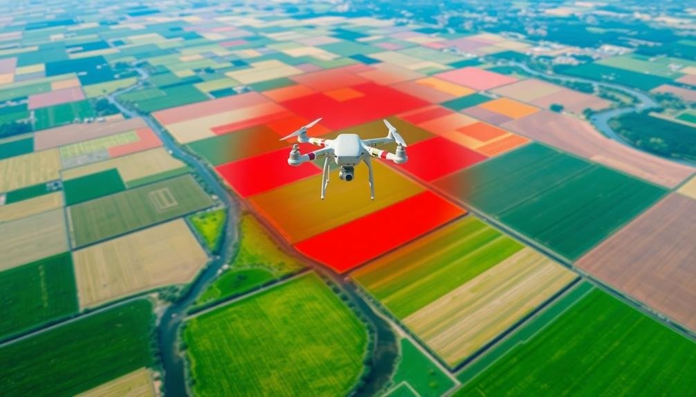
Detecting Illegal Agricultural Practices
Vigilance is key when it comes to detecting illegal agricultural practices from the air. You'll need to know what to look for and how to interpret aerial imagery effectively. Drones and satellite technology can help you spot signs of unlawful activities that might otherwise go unnoticed.
Keep an eye out for unauthorized land clearing, which often appears as sudden changes in vegetation patterns or newly exposed soil. You can detect illegal water diversions by observing unusual irrigation patterns or unexpected water bodies. Overgrazing is visible through patchy vegetation and bare soil in pastures.
You'll want to watch for signs of pesticide misuse, such as irregular crop patterns or unexpected discoloration. Illegal dumping of agricultural waste can be identified by unusual mounds or discolored areas in fields. Pay attention to crop rotations and field boundaries to spot violations of conservation agreements.
To enhance your detection capabilities, use multispectral imaging and thermal sensors. These tools can reveal hidden issues like nutrient runoff or chemical contamination.
AI-Powered Image Analysis Techniques
You'll find AI-powered image analysis techniques revolutionizing farm pollution detection.
Machine learning algorithms can sift through vast amounts of satellite imagery to identify potential contamination sources.
Spectral analysis applications and pattern recognition techniques enable you to spot subtle changes in vegetation or water bodies that may indicate environmental issues.
Machine Learning Algorithms
In recent years, machine learning algorithms have revolutionized the way we analyze aerial imagery for detecting farm pollution. These sophisticated tools can process vast amounts of data from satellite and drone imagery, identifying patterns and anomalies that might escape the human eye.
You'll find that machine learning algorithms can detect various indicators of farm pollution, such as:
- Algal blooms in nearby water bodies
- Unusual soil discoloration
- Irregular crop growth patterns
- Excessive fertilizer runoff
- Unauthorized waste disposal sites
By training these algorithms on extensive datasets, you're able to improve their accuracy and efficiency over time. They can quickly scan large areas, flagging potential pollution hotspots for further investigation. This allows environmental agencies and researchers to focus their efforts where they're most needed.
Machine learning algorithms also excel at tracking changes over time. You can use them to monitor the progression of pollution issues or assess the effectiveness of mitigation efforts.
As these algorithms continue to evolve, they're becoming increasingly adept at distinguishing between natural variations and human-induced environmental changes, providing valuable insights for sustainable farming practices and pollution control.
Spectral Analysis Applications
Delving deeper into AI-powered image analysis techniques, spectral analysis applications have emerged as powerful tools for detecting farm pollution. These applications use advanced sensors to capture and analyze different wavelengths of light reflected from the Earth's surface.
You'll find that this technology can identify various pollutants, including excess nutrients, pesticides, and sediment runoff. By examining the unique spectral signatures of different substances, you can pinpoint areas of concern on farms.
For instance, algal blooms caused by nutrient pollution appear distinctly in near-infrared wavelengths. You'll also detect changes in vegetation health, which can indicate pesticide overuse or soil degradation.
Hyperspectral imaging takes this a step further, allowing you to analyze hundreds of narrow spectral bands simultaneously. This gives you an incredibly detailed picture of farm conditions and potential pollution sources.
You can even track pollution movement over time by comparing spectral data from different dates. When combined with machine learning algorithms, spectral analysis becomes even more powerful.
You'll be able to automatically classify land use, identify crop types, and detect subtle changes in soil composition, all of which contribute to a thorough understanding of farm pollution dynamics.
Pattern Recognition Techniques
Pattern recognition algorithms form the backbone of AI-powered image analysis for farm pollution detection. These sophisticated techniques can identify and classify various pollution indicators in satellite or drone imagery.
You'll find that machine learning models, trained on vast datasets of agricultural landscapes, can quickly spot anomalies that might escape the human eye.
When you're using pattern recognition for farm pollution detection, you'll encounter several key techniques:
- Convolutional Neural Networks (CNNs) for identifying specific visual patterns
- Support Vector Machines (SVMs) for classifying different types of pollution
- Random Forest algorithms for detecting changes in land use over time
- K-means clustering for grouping similar pollution patterns
- Deep Learning models for complex, multi-layered analysis of environmental data
These techniques allow you to process large volumes of image data efficiently.
You'll be able to detect subtle changes in soil color, vegetation health, and water quality that might indicate pollution. By leveraging these AI-powered tools, you're not just looking at raw data; you're uncovering meaningful patterns that can guide environmental management decisions.
Real-Time Pollution Alert Systems
Real-time pollution alert systems serve as digital sentinels for farms, constantly monitoring air and water quality. You'll find these systems equipped with a network of sensors strategically placed around your farm. They're designed to detect various pollutants, from excess nutrients to harmful chemicals, and notify you immediately when levels exceed safe thresholds.
These alert systems integrate with your farm management software, providing you with actionable data at your fingertips. You'll receive notifications on your smartphone or computer, allowing you to respond swiftly to potential pollution events. By leveraging this technology, you're not only protecting the environment but also safeguarding your farm's reputation and compliance with regulations.
| Pollutant Type | Detection Method | Alert Threshold |
|---|---|---|
| Nitrates | Spectrophotometry | 10 mg/L |
| Phosphates | Colorimetry | 0.1 mg/L |
| Pesticides | Gas Chromatography | 0.1 µg/L |
| Ammonia | Ion-selective Electrode | 0.5 mg/L |
| Dissolved Oxygen | Optical Sensor | < 5 mg/L |
You'll find these systems particularly useful for identifying non-point source pollution, which can be challenging to trace. By pinpointing the source and timing of pollution events, you're better equipped to implement targeted mitigation strategies, ultimately improving your farm's environmental performance and sustainability.
Data Integration for Environmental Compliance
Building on the real-time pollution alert systems, data integration for environmental compliance takes farm management to the next level. You'll find that combining satellite imagery, sensor data, and compliance requirements creates a powerful tool for maintaining environmental standards.
This integration allows you to track and manage various aspects of your farm's operations, ensuring you're meeting regulatory requirements while optimizing productivity.
By incorporating data from multiple sources, you're able to:
- Monitor soil health and nutrient levels
- Track water usage and runoff patterns
- Analyze crop growth and yield predictions
- Identify potential pollution hotspots
- Assess the effectiveness of conservation practices
With this thorough approach, you'll be better equipped to make informed decisions about your farm's environmental impact. You can quickly identify areas that need attention and implement corrective measures before they become compliance issues.
This proactive stance not only helps you avoid penalties but also contributes to sustainable farming practices.
Data integration also streamlines reporting processes, making it easier for you to demonstrate compliance to regulatory bodies. You'll have access to historical data and trends, allowing you to showcase your farm's progress in reducing environmental impact over time.
Frequently Asked Questions
How Much Does Aerial Farm Pollution Monitoring Equipment Cost?
You'll find aerial farm pollution monitoring equipment costs vary widely. Drones can range from $1,000 to $20,000, while satellite imagery services may cost $5,000 to $50,000 annually. Manned aircraft solutions are typically the most expensive option.
Are There Privacy Concerns for Farmers Regarding Aerial Surveillance?
You're right to be concerned about privacy. Aerial surveillance can raise issues for farmers, as it may capture sensitive information about their operations. You'll want to contemplate potential legal implications and data protection measures to safeguard your farm's privacy.
Can These Technologies Detect Specific Types of Pollutants or Contaminants?
You'll find that advanced aerial technologies can detect various pollutants. They'll identify nutrients like nitrogen and phosphorus, pesticides, and sediment runoff. They can even spot thermal pollution and algal blooms in nearby water bodies.
How Often Should Aerial Surveys Be Conducted for Effective Pollution Monitoring?
You'll want to conduct aerial surveys regularly, but frequency depends on your specific needs. Monthly or quarterly surveys are common, though some situations may require weekly checks. It's best to consult experts for your unique monitoring requirements.
What Qualifications Are Needed to Operate Farm Pollution Detection Drones?
You'll need a drone pilot license, environmental science knowledge, and data analysis skills. It's essential to understand agricultural practices and pollution indicators. Training in remote sensing and GIS software is also beneficial for this specialized role.
In Summary
You've seen how aerial surveillance revolutionizes farm pollution monitoring. You're now equipped with powerful tools to detect runoff, overuse of fertilizers, and pesticide drift. You'll use drones, thermal imaging, and AI to map contamination and soil degradation. You're ready to implement real-time alert systems and integrate data for better compliance. With these eyes in the sky, you're set to protect our environment and promote sustainable farming practices.
As educators and advocates for responsible drone use, we’re committed to sharing our knowledge and expertise with aspiring aerial photographers.


Leave a Reply