To track glacier retreat using UAV surveillance, you'll need to understand glacier dynamics and select appropriate equipment. Choose a UAV with a high-quality camera, weather resistance, and long battery life. Plan your missions carefully, considering flight parameters and weather conditions. Use specialized sensors and image analysis software to collect and process data effectively. When interpreting imagery, focus on indicators like exposed bedrock, proglacial lakes, and surface changes. Be aware of challenges such as terrain risks and regulatory compliance. By mastering these techniques, you'll gain valuable insights into glacier health and climate change impacts. Exploring further will reveal the intricacies of this cutting-edge monitoring approach.
Understanding Glacier Retreat Dynamics
Nearly all glaciers worldwide are experiencing retreat, a process driven by complex interactions between climate, topography, and glacier dynamics. To understand this phenomenon, you'll need to grasp the concept of mass balance. Glaciers gain mass through snowfall and lose it through melting and calving. When loss exceeds gain over time, retreat occurs.
Climate change plays a significant role in glacier retreat. Rising temperatures increase melting rates, while changes in precipitation patterns affect accumulation. You'll notice that glaciers respond differently to these changes based on their size, shape, and location. Smaller glaciers tend to retreat faster than larger ones.
As you study glacier retreat, you'll observe several key indicators. Look for thinning ice, exposed bedrock, and the formation of proglacial lakes. You'll also see changes in glacier flow rates and crevasse patterns. These signs help you evaluate the glacier's health and predict future behavior.
Understanding retreat dynamics is essential for predicting sea-level rise, water resource management, and evaluating ecological impacts. By tracking these changes, you'll contribute to our understanding of global climate patterns and their local effects.
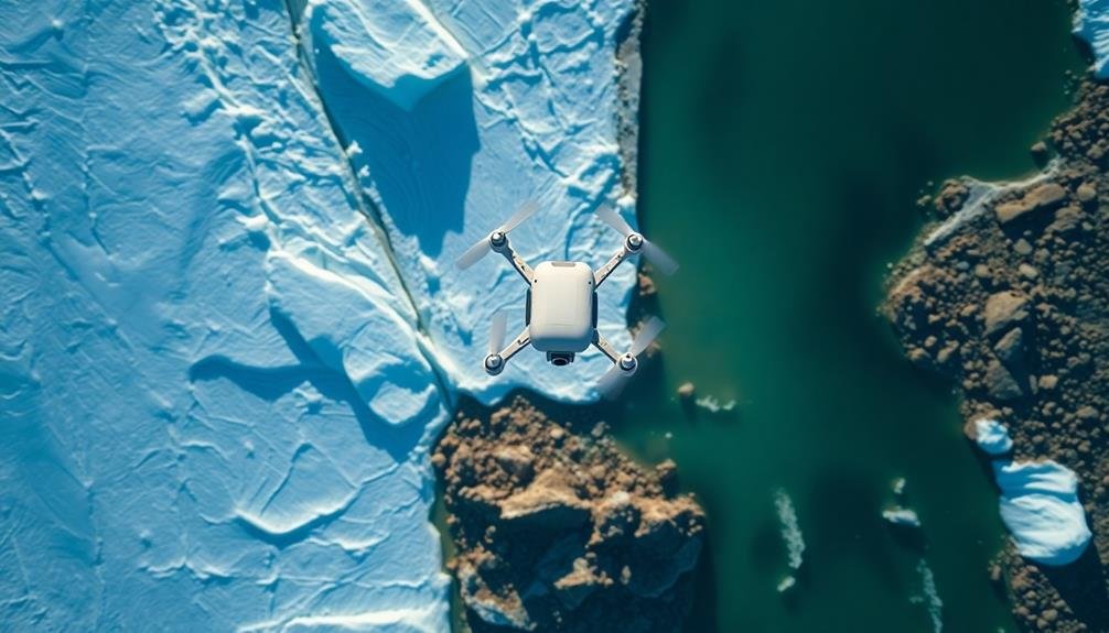
Selecting Suitable UAV Equipment
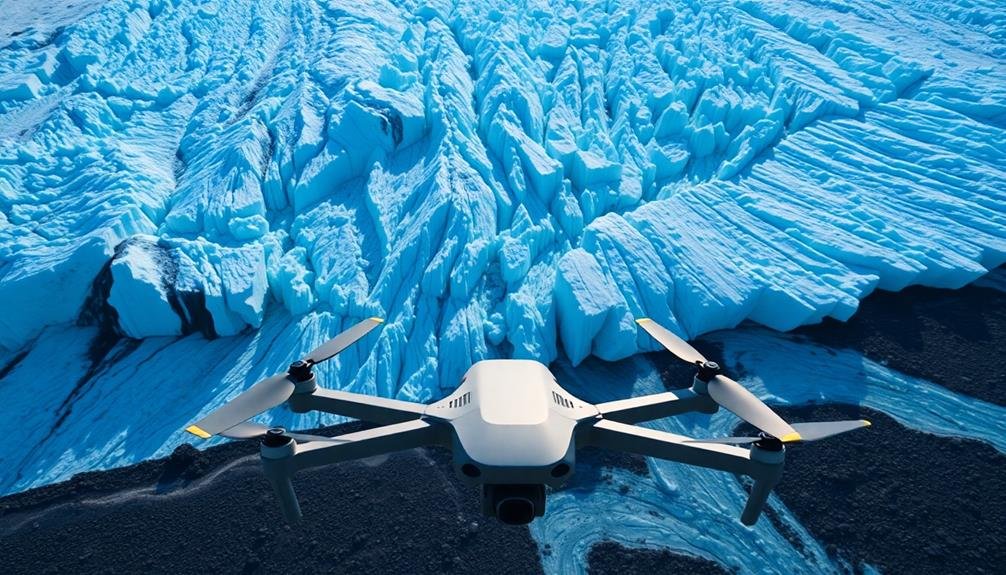
Drone selection is vital for effective glacier monitoring. You'll need to take into account several factors when choosing your UAV equipment.
First, opt for a drone with a high-quality camera capable of capturing detailed images and videos. Look for at least 12-megapixel resolution and 4K video capabilities to guarantee clear, usable data.
Weather resistance is essential, as glacial environments can be harsh. Select a drone that can withstand cold temperatures, wind, and potentially light precipitation.
Battery life is another significant factor; you'll want a drone that can fly for at least 30 minutes to cover larger glacial areas.
Examine the drone's range and GPS capabilities. A long-range model with precise GPS tracking will allow you to survey expansive glacier regions accurately.
Additionally, choose a drone with obstacle avoidance technology to navigate around ice formations and debris safely.
Payload capacity is important if you plan to attach additional sensors or equipment. Some useful add-ons include thermal cameras for measuring surface temperatures and LiDAR sensors for creating detailed 3D maps of the glacier's surface.
Lastly, verify your chosen drone is compatible with photogrammetry software for creating accurate 3D models and maps from the collected imagery.
Planning Effective Surveillance Missions
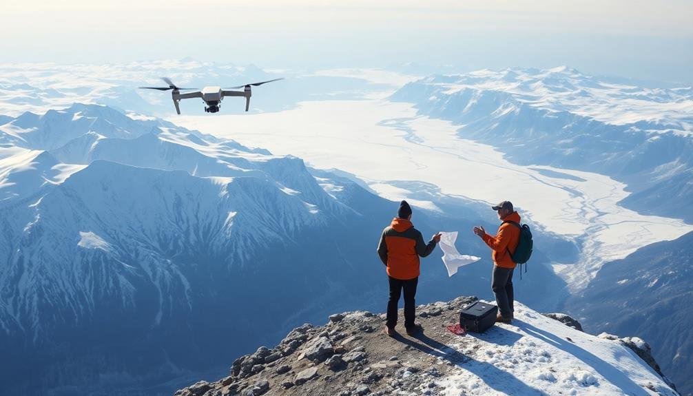
A well-planned mission is the cornerstone of successful glacier surveillance. To guarantee effective data collection, you'll need to take into account several key factors.
First, determine your flight altitude based on the desired ground sampling distance and image overlap. Higher altitudes cover more area but reduce resolution, while lower altitudes provide more detail but require more flights.
Next, plan your flight path to maximize coverage and minimize battery consumption. Use grid or lawn-mower patterns for thorough mapping, and take terrain variations into account to maintain a consistent altitude above ground level.
Don't forget to account for weather conditions, especially wind speed and direction, which can affect flight stability and battery life.
Timing is essential. Schedule flights during ideal lighting conditions, typically when the sun is highest, to minimize shadows and enhance image quality. If you're tracking changes over time, establish consistent flight times and seasons for comparable data sets.
Lastly, confirm you comply with local regulations and obtain necessary permits. Scout the area for potential hazards, establish ground control points for accurate georeferencing, and always have a backup plan in case of equipment failure or unexpected obstacles.
Data Collection and Processing Techniques
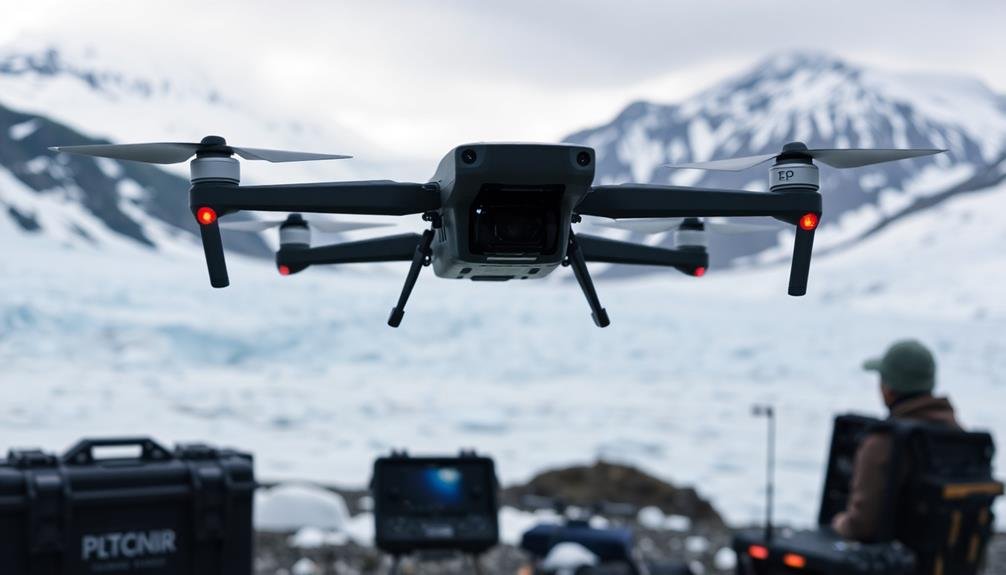
You'll need to equip your UAVs with specialized sensors to capture high-resolution imagery and other data from the glaciers.
Once you've collected the raw data, you'll process it using advanced image analysis software to extract meaningful information about glacier changes.
These tools will help you identify key indicators of retreat, such as changes in ice volume, surface area, and melt patterns.
UAV Sensor Integration
With the advent of advanced UAV technology, integrating multiple sensors has revolutionized glacier retreat tracking. You'll find that combining various sensors on a single UAV platform allows for thorough data collection in a single flight.
Typically, you'll want to integrate a high-resolution RGB camera, a thermal infrared sensor, and a LiDAR system. The RGB camera captures detailed visual imagery, enabling you to create orthomosaics and 3D models of the glacier surface. You'll use the thermal infrared sensor to detect temperature variations, which can reveal hidden crevasses or subglacial water flow. The LiDAR system provides precise elevation data, allowing you to measure changes in ice thickness and volume over time.
To integrate these sensors effectively, you'll need to take into account factors such as payload capacity, power requirements, and data synchronization. You'll also want to guarantee that your UAV's flight control system can handle the additional weight and complexity.
When processing the data, you'll use specialized software to combine and analyze the information from all sensors, providing a more complete picture of glacier dynamics and retreat patterns.
Image Analysis Software
Once you've collected data from your UAV sensors, processing and analyzing the imagery becomes paramount. You'll need specialized image analysis software to extract meaningful information from your glacier surveillance flights. Popular options include Pix4D, Agisoft Metashape, and DroneDeploy, which can generate high-resolution orthomosaics, digital elevation models (DEMs), and 3D point clouds.
These software packages employ photogrammetry techniques to stitch together overlapping images, creating thorough visual representations of the glacier's surface. You'll want to focus on tools that offer automatic feature detection, allowing you to track changes in glacier extent, crevasse patterns, and surface texture over time.
Look for software with built-in change detection algorithms to quantify retreat rates accurately. Machine learning capabilities are increasingly integrated into image analysis software, enabling you to classify ice types, detect meltwater pools, and identify debris-covered areas with greater precision.
You'll also benefit from software that supports multispectral imagery analysis, as this can reveal subtle changes in glacier health and composition. Remember to choose a package that allows for easy data export to GIS platforms for further analysis and visualization of your glacier retreat findings.
Interpreting Glacier Retreat Imagery
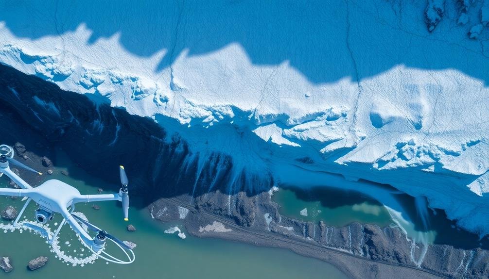
When you're interpreting glacier retreat imagery, you'll focus on three key aspects.
You'll identify retreat indicators like exposed bedrock and newly formed lakes at the glacier's edge.
You'll analyze surface changes, including increased crevassing and debris cover.
Identifying Key Retreat Indicators
Three key indicators help scientists interpret glacier retreat imagery: changes in terminus position, surface area reduction, and ice thickness loss. When you're analyzing UAV footage, focus on these critical markers to assess glacial health.
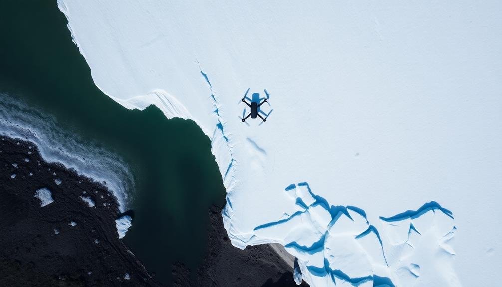
The terminus position, or the glacier's front edge, is a primary indicator. You'll want to compare current images with historical data to measure how far the glacier has receded. Look for exposed bedrock or newly formed proglacial lakes as clear signs of retreat.
Surface area reduction is another crucial sign. You can use image processing software to calculate the glacier's total surface area and compare it to previous measurements. Pay attention to fragmentation, where large ice masses break into smaller ones, indicating accelerated melting.
Ice thickness loss is trickier to gauge from aerial imagery alone, but you can spot telltale signs. Look for increased crevassing, as thinning ice tends to crack more easily.
You might also notice more exposed rock outcrops or "nunataks" emerging from the ice, signaling a decrease in thickness.
Analyzing Surface Changes
Beyond the key retreat indicators, a deeper analysis of surface changes provides valuable insights into glacier dynamics. When examining UAV imagery, you'll want to focus on several specific surface features.
Look for changes in the glacier's texture, such as increased roughness or the formation of crevasses, which can indicate accelerated movement or stress. Pay attention to the development of supraglacial lakes and streams, as these can accelerate melting and contribute to glacier instability.
You should also analyze color variations in the imagery. Darker areas often signify debris cover or exposed rock, while brighter sections typically represent fresh snow or clean ice. By comparing images over time, you can track the expansion of debris-covered areas, which may insulate the ice and slow melting in some cases.
Don't forget to examine the glacier's terminus, noting any retreating patterns or the formation of proglacial lakes. Finally, look for signs of calving events in tidewater glaciers, such as newly formed icebergs or changes in the ice front's shape.
These observations will help you build a thorough understanding of the glacier's retreat process.
Quantifying Volume Loss
Volume loss measurement is an essential step in quantifying glacier retreat. When evaluating UAV imagery, you'll need to focus on calculating the change in ice mass over time.
Start by creating digital elevation models (DEMs) from your drone's data, comparing current surface elevations to previous measurements. You can use specialized software to perform DEM differencing, which subtracts older elevation data from newer data to determine volume changes.
Pay attention to areas with significant ice loss, such as retreating terminus regions or thinning ice fields. Don't forget to account for seasonal variations in snow cover when analyzing long-term trends.
To improve accuracy, you'll want to calibrate your measurements using ground control points and validate results with field observations when possible.
Consider using LiDAR sensors on your UAV for more precise elevation data. Remember to factor in ice density when converting volume loss to mass loss, as this is essential for understanding the glacier's contribution to sea level rise.
Challenges and Safety Considerations
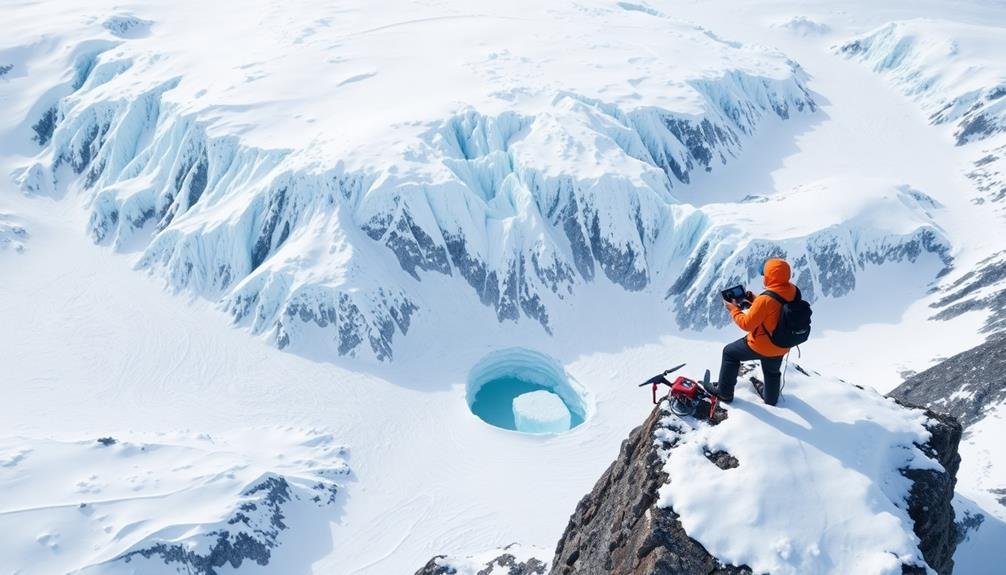
Tracking glacier retreat presents unique challenges and safety risks for researchers and field teams. You'll need to navigate treacherous terrain, including crevasses, unstable ice formations, and potentially hazardous moraine fields.
Weather conditions can change rapidly, with sudden storms, high winds, and extreme cold posing significant risks.
When using UAVs for glacier surveillance, you must consider altitude limitations, battery life in cold temperatures, and potential signal interference from surrounding mountains.
You'll also need to comply with local regulations regarding drone usage in remote areas.
Safety should be your top priority. Always work in teams, use proper safety equipment, and establish clear communication protocols.
Be prepared for emergencies with first-aid kits, satellite phones, and rescue plans.
You'll face logistical challenges too. Transporting equipment to remote glacier sites can be difficult and expensive.
Make certain you have reliable power sources for your gear and backup systems in case of equipment failure.
Data management is another hurdle. You'll need robust systems to store, process, and analyze the large volumes of imagery and sensor data collected during UAV flights.
Frequently Asked Questions
How Do Local Communities Benefit From Glacier Retreat Monitoring?
You'll benefit from glacier retreat monitoring through improved water management, flood prediction, and disaster preparedness. It'll help you plan for changes in tourism, agriculture, and local ecosystems, ensuring your community's resilience to climate change impacts.
What Career Opportunities Exist in Glacier Surveillance Using UAVS?
You'll find exciting career opportunities as a UAV pilot, data analyst, or environmental scientist. You can also work in remote sensing, glaciology, or climate research. There's growing demand for skilled professionals in this field.
How Do International Agreements Impact Glacier Monitoring in Different Countries?
You'll find that international agreements often facilitate data sharing and collaborative research on glaciers. They can also restrict access to certain areas or limit UAV use in protected regions, impacting your monitoring capabilities across countries.
Can UAV Glacier Monitoring Data Contribute to Climate Change Litigation?
UAV glacier monitoring data can be vital evidence in climate change litigation. It'll provide accurate, real-time information on glacier retreat, helping to establish causation and damages in legal cases against polluters or negligent governments.
What Are the Ethical Considerations When Surveying Glaciers Near Indigenous Territories?
When you're surveying glaciers near indigenous lands, you'll need to respect their rights and sovereignty. You should seek permission, involve local communities, and consider potential impacts on sacred sites or traditional practices. Don't overlook cultural sensitivities.
In Summary
You've now got the tools to track glacier retreat using UAVs. Remember, it's essential to select the right equipment, plan missions carefully, and process data accurately. As you interpret the imagery, you'll gain valuable insights into glacier dynamics. Don't forget the challenges and safety considerations – they're critical for successful surveillance. With practice, you'll become adept at monitoring these important indicators of climate change. Keep refining your techniques and contributing to glacier research.
As educators and advocates for responsible drone use, we’re committed to sharing our knowledge and expertise with aspiring aerial photographers.


Leave a Reply