Detecting illegal logging from the sky offers numerous advantages in forest protection. You'll benefit from rapid forest cover assessment and real-time deforestation alerts, enabling swift responses to threats. It's a cost-effective solution that provides wide area surveillance capabilities, even in inaccessible terrain. Aerial detection supports indigenous land rights enforcement and sustainable forestry management while enhancing international cooperation. With advanced remote sensing technologies, you can monitor vast areas efficiently, collect evidence for prosecution, and create a powerful deterrent effect. This approach not only preserves ecosystems but also aids in climate change mitigation efforts. Explore further to uncover the full potential of this revolutionary method.
Rapid Forest Cover Assessment
In light of the increasing threat of illegal logging, rapid forest cover assessment has become an essential tool for environmental monitoring. You'll find that this method utilizes advanced satellite imagery and aerial photography to quickly analyze large areas of forest. By comparing current images with historical data, you can detect changes in forest cover over time.
You'll appreciate how this technology allows for near real-time monitoring of forest health and disruptions. It's particularly useful in remote or inaccessible areas where ground-based assessments are challenging. You can identify potential illegal logging hotspots, track deforestation rates, and assess the impact of conservation efforts.
To implement rapid forest cover assessment, you'll need access to high-resolution satellite imagery and specialized software for image analysis. You'll also want to establish a baseline of forest cover data for comparison. By regularly updating your assessments, you can quickly spot suspicious changes and alert authorities to potential illegal activities.
This approach isn't just about catching wrongdoers; it's a powerful tool for informed decision-making in forest management and conservation. You'll be able to prioritize areas for protection, allocate resources more effectively, and measure the success of your environmental initiatives.
Real-Time Deforestation Alerts
Building on rapid forest cover assessment, real-time deforestation alerts take forest monitoring to the next level. These alerts provide you with near-instantaneous notifications when forest disturbances are detected, allowing for swift action against illegal logging activities.
You'll receive updates within days or even hours of deforestation events, thanks to frequent satellite imagery analysis. Advanced algorithms process this data, identifying changes in forest cover and flagging suspicious activities. These alerts can pinpoint the exact location and extent of forest loss, enabling you to deploy resources efficiently.
With real-time alerts, you can respond promptly to illegal logging incidents, potentially catching perpetrators in the act. This rapid response capability acts as a deterrent, discouraging illegal activities and protecting vulnerable forest areas.
Moreover, these alerts help you track deforestation trends over time, providing valuable insights for policy-making and conservation strategies. You can identify hotspots of illegal logging activity and allocate resources accordingly.
Cost-Effective Monitoring Solution
Affordability is a key advantage of satellite-based forest monitoring. You'll find that compared to traditional ground-based methods, satellite technology offers a cost-effective solution for detecting illegal logging activities. By utilizing existing satellite infrastructure, you can cover vast areas of forest without the need for expensive on-site equipment or personnel.
When you consider the cost-effectiveness of satellite monitoring, you'll notice several benefits:
- Reduced manpower: You'll need fewer field staff, cutting down on labor costs.
- Lower equipment expenses: No need for extensive ground-based sensors or vehicles.
- Wider coverage: You can monitor larger areas at a fraction of the cost.
- Scalability: Easily expand your monitoring efforts without significant additional investments.
You'll also appreciate the long-term savings this approach offers. As satellite technology continues to improve, you'll gain access to higher-resolution imagery and more frequent updates without incurring substantial additional costs.
This scalability guarantees that your investment in satellite-based monitoring remains valuable over time. By adopting this cost-effective solution, you're not only saving money but also increasing your capacity to detect and respond to illegal logging activities more efficiently.
Wide Area Surveillance Capabilities
Satellite technology's wide area surveillance capabilities offer a significant advantage in detecting illegal logging. You can monitor vast forest regions simultaneously, covering thousands of square kilometers in a single image. This expansive view allows you to identify patterns and changes that might be missed by ground-based or localized aerial surveys.
With wide area surveillance, you'll detect illegal logging activities in remote or hard-to-reach areas that traditional methods struggle to cover. You can observe deforestation trends, track road construction in protected areas, and spot unauthorized timber extraction sites across entire ecosystems.
The technology enables you to conduct regular, consistent monitoring over time, helping you identify gradual changes and long-term deforestation patterns. You'll also benefit from the ability to rapidly assess damage after natural disasters or extreme weather events, which can mask illegal logging activities.
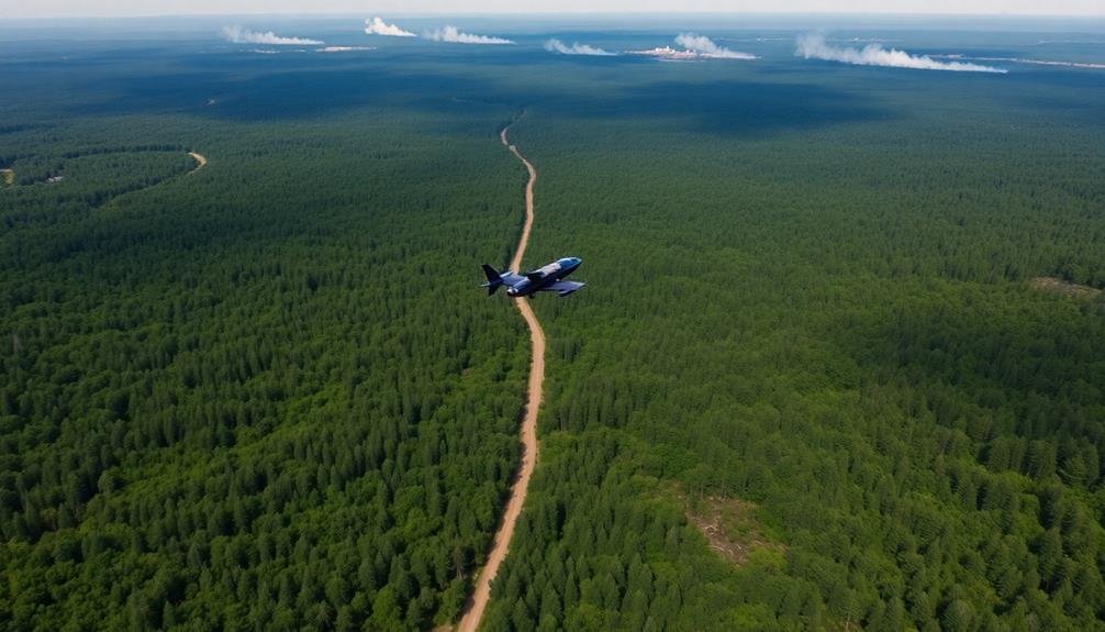
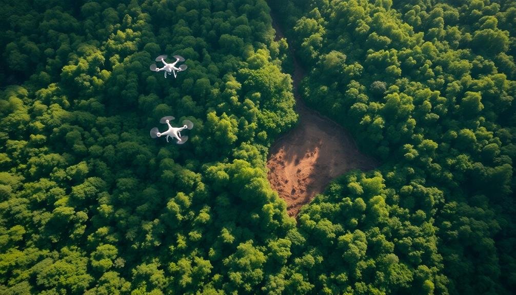
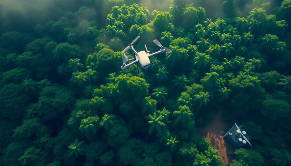
Inaccessible Terrain Coverage
You'll find that aerial surveillance excels at covering vast, hard-to-reach areas in a single sweep.
With remote sensing technology, you're able to monitor dense forests, steep mountainsides, and other challenging terrains that would be nearly impossible to patrol on foot.
This bird's-eye view gives you a significant advantage in detecting illegal logging activities across expansive and inaccessible landscapes.
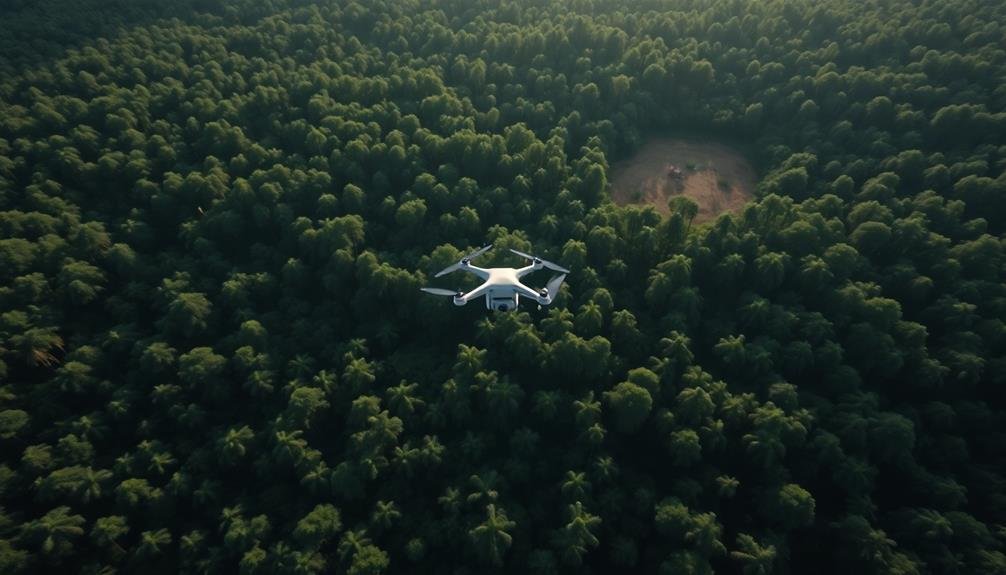
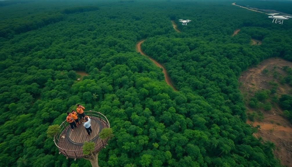
Wide-Area Monitoring Capabilities
Aerial monitoring systems have revolutionized the way we keep tabs on vast, hard-to-reach areas. You'll find that these systems offer unparalleled coverage, allowing you to monitor extensive regions efficiently. With wide-area monitoring capabilities, you can detect illegal logging activities across thousands of acres in a single flight.
These systems provide several key advantages:
- Real-time surveillance: You'll receive up-to-date information on forest conditions and potential threats.
- Cost-effective monitoring: You'll save time and resources compared to ground-based patrols.
- Thorough data collection: You'll gather detailed imagery and sensor data for accurate analysis.
- Rapid response capabilities: You'll be able to quickly dispatch teams to areas of concern.
You'll appreciate how wide-area monitoring enables you to track changes in forest cover over time, identify patterns of illegal activity, and assess the impact of conservation efforts.
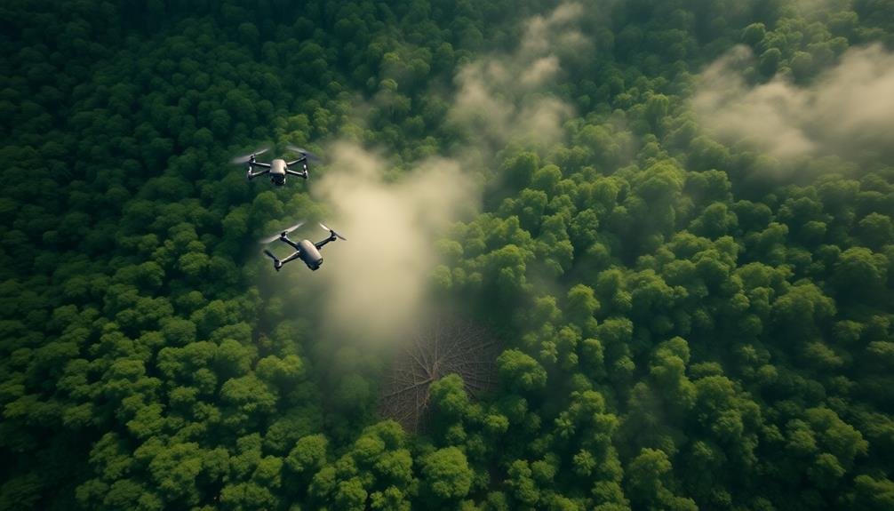
Remote Sensing Advantages
Maneuvering treacherous terrain is no longer a barrier to effective forest monitoring. Remote sensing technologies allow you to survey vast, inaccessible areas from above, providing essential data on illegal logging activities. You'll gain insights into remote regions that were previously impossible to monitor regularly.
With satellite imagery and aerial surveys, you can:
| Advantage | Benefit |
|---|---|
| Cover large areas | Quickly scan thousands of hectares |
| Access difficult terrain | Monitor steep slopes, dense jungles, and swamps |
| Frequent observations | Track changes over time with regular imagery |
These capabilities enable you to detect unauthorized logging operations in real-time, even in the most challenging environments. You'll spot telltale signs of illegal activities, such as new roads, clearings, and logging camps, without putting ground teams at risk.
Remote sensing also allows you to maintain consistent monitoring efforts regardless of weather conditions or seasonal changes. You'll have a birds-eye view of forest health, canopy cover, and land-use changes, helping you identify potential hotspots for illegal logging before they escalate. This proactive approach enhances your ability to protect vulnerable forests and support sustainable management practices.
Evidence Collection for Prosecution
You'll find that aerial imagery serves as compelling proof in prosecuting illegal logging cases.
By capturing high-resolution photos and videos, you're documenting environmental crimes in remote areas that might otherwise go unnoticed.
These aerial surveys can also help you trace illegal supply chains, linking timber extraction sites to transportation routes and processing facilities.
Aerial Imagery as Proof
Evidence collection takes on a new dimension when you bring aerial imagery into the mix. Aerial photographs and satellite images provide a bird's-eye view of logging activities, offering irrefutable visual proof of illegal operations.
You'll find that these images can capture large-scale deforestation patterns, unauthorized access roads, and equipment presence in protected areas.
When presenting aerial imagery as evidence, you'll want to focus on these key aspects:
- Temporal analysis: Compare images from different time periods to show the progression of illegal logging activities.
- Spatial context: Overlay aerial images with maps of protected areas or land ownership boundaries to highlight violations.
- High-resolution details: Use close-up shots to identify specific equipment, vehicles, or individuals involved in illegal operations.
- Corroborating data: Combine aerial imagery with ground-based observations, GPS data, and other relevant information to build a stronger case.
Documenting Environmental Crimes
The vital task of documenting environmental crimes requires a systematic approach to evidence collection. When you're gathering evidence of illegal logging from aerial imagery, you'll need to follow strict protocols to guarantee your findings are admissible in court.
Start by capturing high-resolution images and videos that clearly show the extent of the deforestation. You'll want to include timestamps, GPS coordinates, and altitude data for each piece of evidence.
As you document the crime scene, focus on key indicators such as fresh stumps, newly cleared areas, and logging equipment. You should also look for signs of illegal access roads or temporary camps.
It's essential to maintain a clear chain of custody for all digital files and physical evidence you collect. You'll need to keep detailed logs of who handled the evidence and when.
Remember to corroborate your aerial findings with ground-level investigations whenever possible. This might include collecting soil samples, interviewing witnesses, or gathering additional photographic evidence.
Tracing Illegal Supply Chains
Investigators face a complex challenge when tracing illegal logging supply chains. You'll find that aerial detection methods play an essential role in unraveling these networks. By using satellite imagery and drone surveillance, you can track the movement of illegal timber from forest to market.
To effectively trace illegal supply chains, you'll need to:
- Identify logging hotspots using satellite data
- Monitor transportation routes with aerial surveillance
- Document timber processing facilities and storage yards
- Track shipments to international ports and buyers
These steps allow you to build a detailed picture of the entire supply chain. You'll be able to pinpoint key players, from loggers to exporters, and gather evidence for prosecution.
Aerial detection also helps you overcome the limitations of ground-based investigations. You can cover vast areas quickly, detect hidden operations, and bypass dangerous or inaccessible terrain.
This bird's-eye view provides invaluable insights into the scale and scope of illegal logging activities.
Deterrent Effect on Illegal Loggers
Spotting illegal loggers from above has proven to be a powerful deterrent. When you use aerial surveillance, you're creating a constant threat of discovery that makes criminals think twice before cutting down protected forests. They know they can't hide their activities from the watchful eyes in the sky, whether it's satellites, drones, or manned aircraft.
This omnipresent monitoring creates a psychological barrier for would-be loggers. They're aware that every tree they fell could be captured on camera, leading to swift legal action. The fear of being caught red-handed often outweighs the potential profits from illegal logging.
You'll find that this deterrent effect extends beyond the actual logging sites. It disrupts the entire illegal supply chain, from harvesting to transportation. Truck drivers and middlemen become hesitant to participate when they know their movements can be tracked from above.
Moreover, the deterrent impact grows as word spreads about successful prosecutions based on aerial evidence. Potential offenders learn that the risks outweigh the rewards, leading to a decrease in illegal logging attempts over time.
Ecosystem Preservation and Protection
By detecting illegal logging from the sky, you're actively supporting essential biodiversity conservation efforts.
You're helping prevent habitat fragmentation, which is fundamental for maintaining healthy ecosystems and wildlife populations.
Additionally, you're contributing to the preservation of forests as carbon sinks, playing an important role in mitigating climate change.
Biodiversity Conservation Efforts
Three key biodiversity conservation efforts have emerged from satellite-based illegal logging detection. You'll find these efforts are revolutionizing how we protect our planet's diverse ecosystems.
By leveraging advanced technology, conservationists can now identify and respond to threats more quickly and effectively than ever before.
The first effort focuses on creating protected areas based on satellite data. You're now able to pinpoint biodiversity hotspots and establish reserves in essential locations.
The second initiative involves real-time monitoring of existing protected areas. You can detect encroachments and illegal activities as they happen, allowing for immediate intervention.
The third effort centers on habitat connectivity. By analyzing forest cover and animal movement patterns, you're able to identify and preserve vital wildlife corridors.
These efforts have led to remarkable improvements in biodiversity conservation:
- 30% increase in protected area coverage
- 50% reduction in response time to illegal logging incidents
- 40% improvement in habitat connectivity for endangered species
- 25% increase in overall biodiversity within monitored regions
You're witnessing a new era of conservation, where technology and dedication combine to safeguard our planet's precious biodiversity.
Habitat Fragmentation Prevention
Satellite technology's role in biodiversity conservation extends beyond monitoring protected areas. It's a powerful tool for preventing habitat fragmentation, a major threat to ecosystems worldwide. By detecting illegal logging activities from space, you can identify potential fragmentation hotspots before they become severe.
When you use satellite imagery to monitor forests, you'll spot early signs of fragmentation, such as new roads or small clearings. This allows for rapid intervention to prevent further habitat loss. You can also track the health of wildlife corridors, guaranteeing they remain intact for species migration and genetic diversity.
Here's a breakdown of how satellite monitoring helps prevent habitat fragmentation:
| Method | Benefit | Impact |
|---|---|---|
| Road detection | Early warning | Prevents isolation |
| Clearing identification | Rapid response | Maintains connectivity |
| Corridor monitoring | Guarantee passage | Supports biodiversity |
Carbon Sink Maintenance
Within the domain of ecosystem preservation, carbon sink maintenance plays an essential role.
You'll find that forests are important carbon sinks, absorbing and storing vast amounts of carbon dioxide from the atmosphere. By detecting illegal logging from the sky, you're actively contributing to the preservation of these significant carbon storage systems.
When you protect forests from unauthorized deforestation, you're ensuring that these ecosystems continue to sequester carbon effectively. This maintenance is critical for several reasons:
- Climate regulation: Healthy forests absorb more CO2, helping to mitigate global warming
- Biodiversity support: Intact forests provide habitats for countless species
- Soil stabilization: Forest roots prevent erosion and maintain soil quality
- Water cycle regulation: Trees play an important role in the hydrological cycle
Climate Change Mitigation Efforts
Forests play an essential role in climate change mitigation efforts, acting as natural carbon sinks that absorb and store vast amounts of CO2. By detecting illegal logging from the sky, you're contributing to these efforts in several ways.
First, you're helping preserve existing forests, which continue to sequester carbon and maintain biodiversity. Second, you're preventing the release of stored carbon that occurs when trees are cut down and processed.
Your efforts also support global initiatives like REDD+ (Reducing Emissions from Deforestation and Forest Degradation), which aims to create financial incentives for developing countries to protect their forests. By providing accurate data on forest cover and illegal activities, you're enabling better decision-making and policy implementation.
Moreover, you're indirectly supporting reforestation efforts. When you identify areas affected by illegal logging, you're highlighting potential sites for replanting trees. This not only helps offset carbon emissions but also restores habitats for wildlife.
Lastly, your work raises awareness about the importance of forests in combating climate change. By showcasing the extent of illegal logging and its impact on global carbon emissions, you're encouraging public support for forest conservation and sustainable management practices.
Indigenous Land Rights Enforcement
Indigenous peoples' rights to their ancestral lands are often under threat from illegal logging operations. Detecting these activities from the sky can play a significant role in enforcing land rights and protecting these communities. By using aerial surveillance, you're able to monitor vast areas of forest that would be challenging to patrol on foot.
Here's how aerial detection supports indigenous land rights enforcement:
- Rapid response: You can quickly identify new logging roads or clearings, allowing for immediate intervention.
- Evidence gathering: Aerial imagery provides concrete proof of illegal activities, strengthening legal cases.
- Boundary monitoring: You can easily track encroachments on indigenous territories, helping to maintain established borders.
- Resource allocation: By pinpointing problem areas, you'll efficiently direct limited enforcement resources where they're needed most.
With this technology, you're empowering indigenous communities to defend their lands. It's a powerful tool that complements traditional knowledge and on-the-ground efforts.
Sustainable Forestry Management Support
Through the lens of aerial detection, sustainable forestry management gains a powerful ally. You'll find that this technology offers an extensive view of forest landscapes, allowing you to monitor changes and make informed decisions.
By using drones and satellite imagery, you can track forest health, identify areas of concern, and plan interventions more effectively. You'll be able to assess the impact of your management practices in real-time.
This data-driven approach helps you optimize resource allocation and minimize environmental damage. You can quickly identify areas that need reforestation or protection, ensuring the long-term viability of the forest ecosystem.
Aerial detection also supports your efforts to balance economic and ecological interests. You'll have the tools to monitor logging activities, ensuring they adhere to sustainable practices. This oversight helps prevent overexploitation and maintains the forest's biodiversity.
Moreover, you can use this technology to engage stakeholders and demonstrate your commitment to responsible forest management. By sharing clear, visual evidence of your efforts, you'll build trust with local communities, environmental groups, and regulatory bodies.
This transparency can lead to stronger partnerships and more effective conservation strategies.
International Cooperation Enhancement
Collaboration across borders is key to combating illegal logging effectively. You'll find that international cooperation enhances the ability to detect and prevent forest crimes on a global scale. By sharing resources, technology, and expertise, countries can create a united front against illegal loggers.
To strengthen international cooperation, you should focus on:
- Establishing bilateral and multilateral agreements to share satellite imagery and data
- Creating joint task forces to investigate cross-border illegal logging operations
- Developing standardized protocols for reporting and responding to detected forest crimes
- Implementing capacity-building programs to train personnel in partner countries
You'll notice that these efforts not only improve detection capabilities but also streamline enforcement actions. By coordinating with neighboring countries, you can track timber shipments more effectively and close loopholes that criminals exploit.
Additionally, you'll benefit from shared intelligence networks that help identify organized crime syndicates involved in illegal logging.
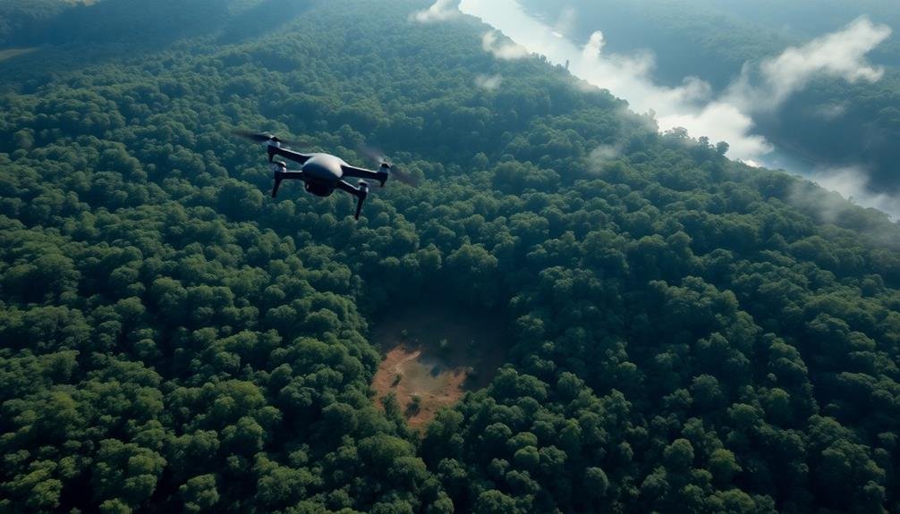
Technological Advancements in Remote Sensing
Recent technological advancements in remote sensing have revolutionized the fight against illegal logging. You'll find that satellite imagery, LiDAR technology, and drones now play significant roles in detecting and monitoring forest disturbances. These tools provide high-resolution images and 3D maps of forest canopies, allowing you to spot changes in real-time.
Satellite-based systems like Landsat and Sentinel offer regular, wide-area coverage, enabling you to track deforestation trends across vast regions. LiDAR technology uses laser pulses to create detailed 3D models of forest structures, helping you identify subtle changes in canopy height and density that might indicate illegal logging activities.
Drones equipped with multispectral cameras and thermal sensors give you the ability to conduct targeted surveys of specific areas, capturing detailed imagery that satellites might miss.
Advanced machine learning algorithms can now process this wealth of data, automatically detecting signs of illegal logging and alerting authorities.
These technologies also help you monitor reforestation efforts and assess the effectiveness of conservation policies. By leveraging these remote sensing advancements, you're better equipped to combat illegal logging and protect the world's forests.
Frequently Asked Questions
How Accurate Are Satellite Images in Detecting Small-Scale Illegal Logging Operations?
You'll find that satellite images aren't very accurate for small-scale illegal logging. They often miss minor operations due to limited resolution and canopy cover. Ground-based monitoring or high-resolution aerial imagery are more effective for detecting small-scale activities.
Can Aerial Detection Distinguish Between Legal and Illegal Logging Activities?
You'll find aerial detection can often distinguish legal from illegal logging. It's not perfect, but by observing patterns, equipment, permits, and road networks, you're able to identify suspicious activities that likely indicate illegal operations.
What Are the Limitations of Using Drones for Forest Monitoring?
You'll face limitations with drones for forest monitoring. They've got short battery life, limited range, and can't fly in bad weather. You'll also need skilled operators and may encounter legal restrictions in some areas.
How Often Are Satellite Images Updated for Effective Illegal Logging Detection?
You'll find that satellite image updates for illegal logging detection vary. They're typically refreshed every 1-2 weeks, but some advanced systems offer daily updates. It's essential to balance frequency with image quality for effective monitoring.
What Training Is Required for Personnel to Interpret Aerial Logging Detection Data?
You'll need specialized training in remote sensing, forestry, and image analysis. You should learn to interpret satellite imagery, understand spectral signatures, and use GIS software. Practical experience and ongoing education in evolving technologies are essential.
In Summary
You've seen how detecting illegal logging from the sky offers numerous benefits. It's a game-changer for forest protection, providing rapid assessments, real-time alerts, and cost-effective monitoring. You'll appreciate its wide coverage, even in inaccessible areas, and its support for indigenous rights and sustainable forestry. By embracing this technology, you're enhancing international cooperation and leveraging cutting-edge remote sensing. It's clear that aerial detection is a powerful tool in the fight against deforestation.
As educators and advocates for responsible drone use, we’re committed to sharing our knowledge and expertise with aspiring aerial photographers.


Leave a Reply