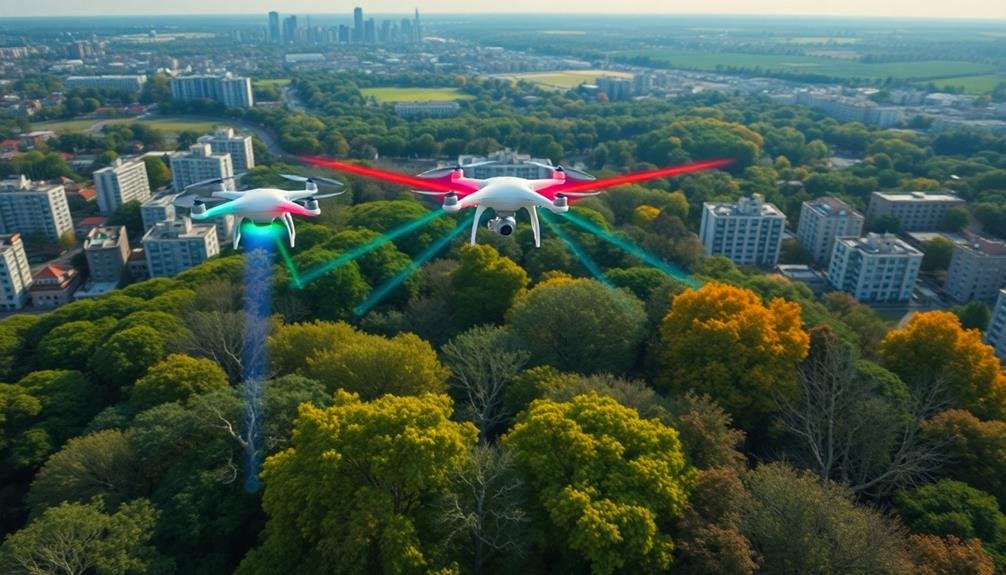
Drones are revolutionizing urban green space design by providing unprecedented aerial mapping capabilities. You'll see high-resolution cameras and LiDAR sensors capturing detailed topographical data, enabling swift surveys of large areas. This technology optimizes greenery distribution, identifies underutilized spaces, and monitors urban forest health. It's transforming how cities plan and maintain their natural environments, from rooftop gardens to expansive parks. Drones help create 3D models for virtual experimentation, assess vegetation health, and track changes over time. They're essential tools for integrating nature into cityscapes, supporting biodiversity, and combating urban heat islands. Explore further to uncover the full potential of this game-changing technology in urban planning.
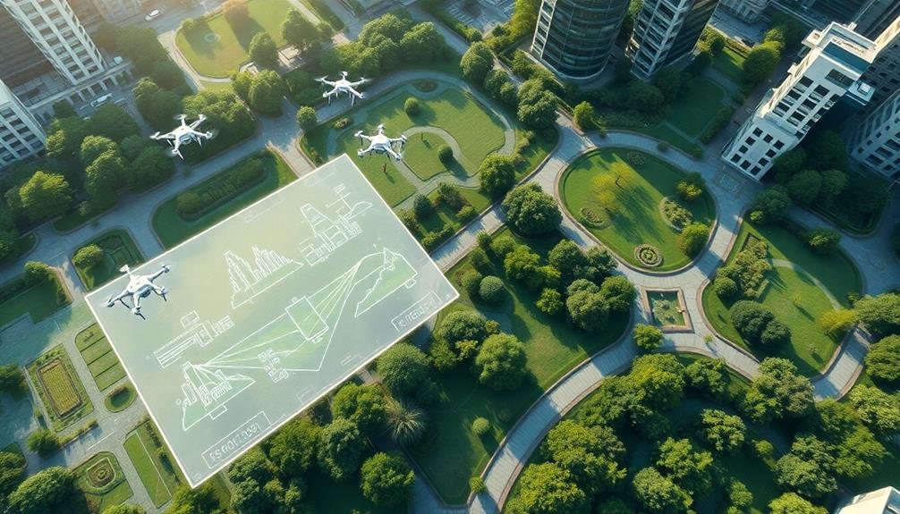
Aerial Mapping for Urban Ecosystems
Precision is the name of the game when it comes to aerial mapping for urban ecosystems. Drones equipped with high-resolution cameras and LiDAR sensors offer you unprecedented accuracy in capturing detailed topographical data.
You'll find these unmanned aerial vehicles can swiftly survey large areas, creating 3D models of existing green spaces and potential development sites.
With drone-generated maps, you're able to analyze vegetation density, identify heat islands, and assess stormwater runoff patterns. This information is essential for urban planners and landscape architects as they design sustainable green spaces.
You'll appreciate how drones can access hard-to-reach areas, providing insights into rooftop gardens, vertical greenery, and hidden urban pockets.
The data you collect allows for more informed decision-making. You can easily monitor changes over time, track the health of urban forests, and plan for future green infrastructure.
Data-Driven Greenery Distribution
Armed with the wealth of data from aerial mapping, you're now positioned to optimize greenery distribution across urban landscapes. You'll use this information to identify areas lacking green spaces and determine the most effective locations for new plantings.
By analyzing factors like population density, air quality, and heat island effects, you can prioritize neighborhoods that'll benefit most from increased vegetation.
You'll leverage drone-collected data to create detailed models of existing green spaces, allowing you to assess their health and impact. This enables you to make informed decisions about where to expand or enhance current parks and gardens.
You can also identify potential sites for green roofs, vertical gardens, and street trees, maximizing the use of available space.
With data-driven insights, you're able to select plant species that are best suited to specific microclimates within the city. This approach guarantees higher survival rates and more effective ecosystem services.
You can also use the data to plan for biodiversity, creating interconnected green corridors that support wildlife movement and enhance urban ecology.
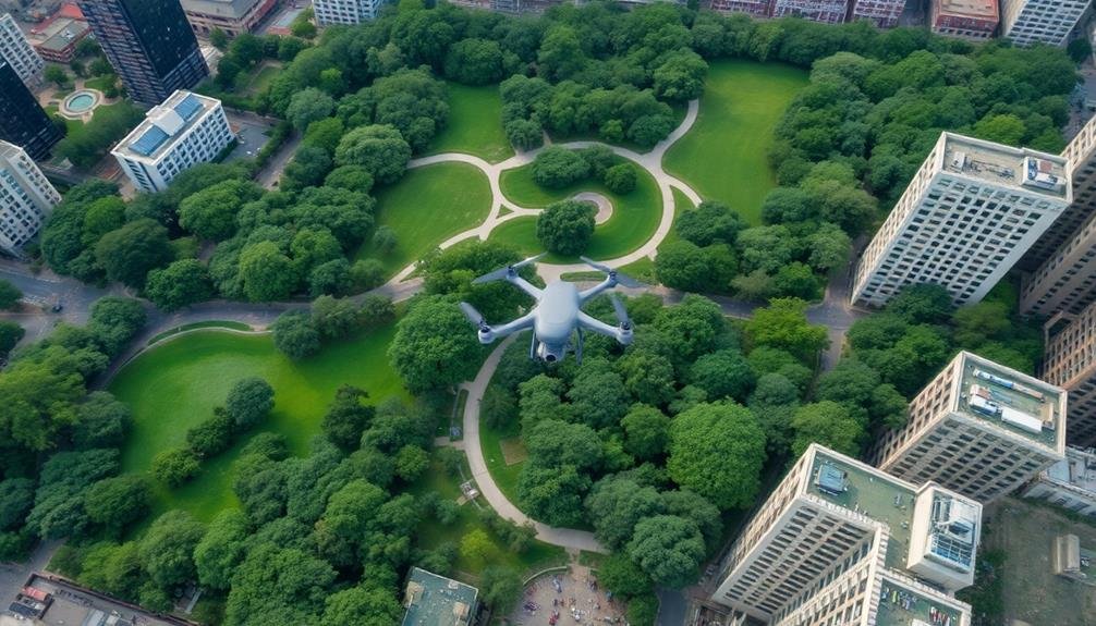
Optimizing Park Layouts With Drones
Drones soar above and around urban parks, capturing intricate details that revolutionize layout optimization. You'll find these aerial assistants gathering data on foot traffic patterns, sun exposure, and existing vegetation.
They're equipped with high-resolution cameras and sensors that provide a thorough view of the park's current state and potential.
With drone-collected data, you can identify underutilized areas and reimagine them for maximum enjoyment. You'll spot opportunities for new pathways, seating areas, or recreational facilities that align with visitor preferences.
The aerial perspective helps you visualize how different elements interact, ensuring a harmonious flow throughout the space.
You can use drone imagery to create 3D models of the park, allowing for virtual experimentation with various layouts. This approach saves time and resources by eliminating the need for physical prototypes.
You'll also benefit from drones' ability to monitor seasonal changes, helping you design adaptable spaces that thrive year-round.
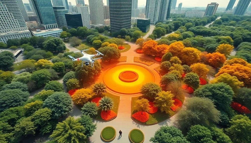
Monitoring Urban Forest Health
Soaring through the urban canopy, drones have become indispensable tools for monitoring the health of city forests. You'll find these aerial marvels equipped with high-resolution cameras and multispectral sensors, capturing detailed images of tree crowns, leaf density, and overall forest structure.
They're revolutionizing how you assess and manage urban green spaces, providing a bird's-eye view that was once impossible to obtain.
With drones, you can quickly identify:
- Diseased or stressed trees through early detection of color changes or canopy thinning
- Areas of pest infestation by spotting irregular leaf patterns or defoliation
- Drought-affected zones by analyzing moisture levels and vegetation health indices
You'll appreciate how drones enable frequent, cost-effective surveys of large urban forest areas.
They're helping you track changes over time, allowing for timely interventions and more targeted management strategies. By collecting data on tree species distribution, growth rates, and overall ecosystem health, you're better equipped to make informed decisions about urban forest conservation and expansion.
Drones are transforming urban forestry, giving you unprecedented insights into the essential green lungs of your city.
Integrating Nature Into Cityscapes
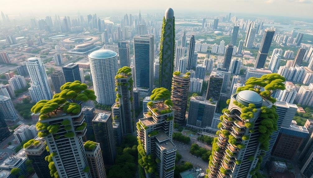
Beyond monitoring forest health, drones are reshaping how you integrate nature into urban landscapes. These aerial tools provide a unique perspective for urban planners and landscape architects, allowing them to identify potential green spaces that might otherwise go unnoticed.
You'll find that drones can map out rooftops suitable for green installations, pinpoint areas for vertical gardens, and even help plan wildlife corridors through cities. They're instrumental in creating 3D models of urban environments, enabling you to visualize how new green spaces will fit into the existing cityscape.
With drone technology, you can easily assess the impact of proposed green projects on surrounding areas, including shadows cast by buildings and wind patterns. This information helps you design more resilient and sustainable urban ecosystems.
Moreover, drones assist in identifying heat islands within cities, guiding your efforts to strategically place vegetation for maximum cooling effect. You can also use them to monitor the progress of green initiatives over time, ensuring that your urban greening projects are thriving and meeting their intended goals.
Frequently Asked Questions
How Do Drones Compare to Satellite Imagery for Urban Green Space Planning?
You'll find drones offer higher resolution and more up-to-date imagery than satellites for urban green space planning. They're more flexible, allowing you to capture specific angles and details, and they're often more cost-effective for smaller areas.
What Are the Legal Restrictions for Using Drones in Urban Areas?
You'll face strict regulations when flying drones in urban areas. You can't fly over people, must stay below 400 feet, and need to register your drone. Always check local laws, as they vary by city.
Can Drones Help in Selecting Plant Species for Urban Green Spaces?
Yes, drones can help you select plant species for urban green spaces. They'll capture high-resolution images and data on soil conditions, sunlight exposure, and existing vegetation. This information will guide your plant choices for ideal growth and sustainability.
How Do Drones Contribute to Community Engagement in Green Space Projects?
You'll find drones boost community engagement in green space projects. They capture stunning aerial footage, create 3D models, and offer virtual tours. You can share these visuals online, sparking interest and gathering feedback from residents.
What Are the Potential Drawbacks of Relying on Drone Technology for Urban Planning?
You'll face privacy concerns when using drones for urban planning. They're costly, require skilled operators, and can malfunction. You might miss important ground-level details and human perspectives. Overreliance could lead to less community engagement.
In Summary
You've witnessed how drones are transforming urban green spaces. They're not just tools; they're revolutionizing city planning. From aerial mapping to data-driven design, you're seeing smarter, greener cities emerge. You'll enjoy parks optimized for your needs and healthier urban forests. As drones continue to integrate nature into cityscapes, you'll experience a more sustainable urban environment. Embrace this tech-driven green revolution – it's shaping the future of your city right before your eyes.
As educators and advocates for responsible drone use, we’re committed to sharing our knowledge and expertise with aspiring aerial photographers.


Leave a Reply