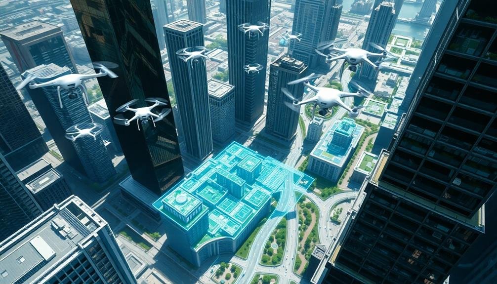
Drones are revolutionizing urban planning, offering a bird's-eye view of cities that's changing how we design and manage urban spaces. You'll see these aerial assistants mapping cityscapes, inspecting infrastructure, and optimizing traffic flow with unprecedented precision. They're enhancing green space planning, speeding up disaster response, and even helping to mitigate urban heat islands. From public safety to crime prevention, drones are becoming indispensable tools for creating smarter, safer cities. As urban renewal takes flight, you're witnessing a transformation in how cities evolve and adapt. The future of urban planning is soaring to new heights, and there's much more to explore in this aerial revolution.
Aerial Mapping for Urban Analysis
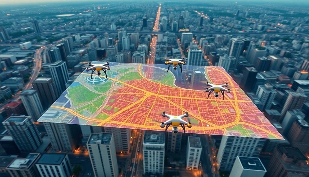
Increasingly, drones are revolutionizing the way urban planners analyze and understand cities. You'll find these unmanned aerial vehicles equipped with high-resolution cameras and sensors, capturing detailed imagery and data from above. This aerial perspective allows you to create accurate 3D models of urban landscapes, revealing intricate details often missed at ground level.
With drone-captured data, you can quickly assess building heights, identify green spaces, and map infrastructure networks. You'll spot areas of congestion, analyze traffic patterns, and pinpoint potential development sites. These insights help you make informed decisions about zoning, transportation, and urban growth.
You're also able to monitor changes over time by conducting regular drone surveys. This lets you track construction progress, detect unauthorized developments, and assess the impact of urban policies.
The data you gather is invaluable for creating thorough land use maps and updating Geographic Information Systems (GIS).
Infrastructure Inspection and Maintenance
You'll find drones revolutionizing infrastructure upkeep in cities worldwide.
They're enabling efficient bridge safety checks, quickly identifying potential structural issues before they become critical.
Drones are also pinpointing utility line problems and streamlining road condition assessments, allowing city planners to address maintenance needs more proactively and cost-effectively.
Efficient Bridge Safety Checks
Drones are revolutionizing bridge safety inspections, making them faster, safer, and more cost-effective. You'll find that these unmanned aerial vehicles can access hard-to-reach areas of bridges without the need for scaffolding or lane closures.
They're equipped with high-resolution cameras and sensors that capture detailed images and data, allowing engineers to spot potential issues before they become serious problems.
By using drones, you're reducing the time needed for inspections from days to hours. This efficiency translates to significant cost savings and minimizes traffic disruptions. Additionally, drones eliminate the need for inspectors to work at dangerous heights, greatly improving safety.
The benefits of drone-based bridge inspections include:
- Thorough visual assessments
- Real-time data collection and analysis
- Reduced inspection costs
- Improved worker safety
You'll find that drones can detect structural issues such as cracks, corrosion, and delamination with remarkable accuracy. They can also create 3D models of bridges, providing a complete picture of the structure's condition.
As drone technology continues to advance, you can expect even more sophisticated inspection capabilities, ensuring the longevity and safety of our urban infrastructure.
Pinpointing Utility Line Issues
Three key areas where drones are transforming utility line inspections are power lines, gas pipelines, and water mains.
For power lines, you'll see drones equipped with high-resolution cameras and thermal sensors flying along transmission corridors. They'll detect issues like damaged insulators, frayed wires, or overheating components that could lead to outages. These aerial inspections are faster and safer than traditional methods involving workers climbing towers or using helicopters.
When it comes to gas pipelines, drones fitted with methane sensors can quickly identify leaks that might otherwise go unnoticed. You'll find them surveying vast networks of underground pipes, pinpointing potential hazards before they become significant. This proactive approach helps prevent accidents and reduces environmental impact.
For water mains, drones play an essential role in detecting leaks and evaluating infrastructure condition. They'll use multispectral imaging to spot subtle changes in vegetation or soil moisture that indicate underground leaks.
You'll also see them inspecting water towers and reservoirs, providing detailed imagery for maintenance planning.
Streamlining Road Condition Assessments
Moving from underground utilities to surface infrastructure, road condition assessments have been revolutionized by drone technology.
You'll find that drones equipped with high-resolution cameras and sensors can quickly survey large stretches of roads, providing detailed information about surface conditions, cracks, potholes, and other defects. This data is then processed using AI algorithms to prioritize maintenance needs and allocate resources efficiently.
You'll appreciate how drones streamline the assessment process, reducing the time and manpower required for manual inspections. They can access hard-to-reach areas and capture data without disrupting traffic flow. The aerial perspective also offers a thorough view of road networks, helping you identify patterns and potential problem areas.
Key benefits of using drones for road condition assessments include:
- Increased safety for inspection crews
- More frequent and consistent monitoring
- Cost-effective data collection
- Improved accuracy and objectivity in assessments
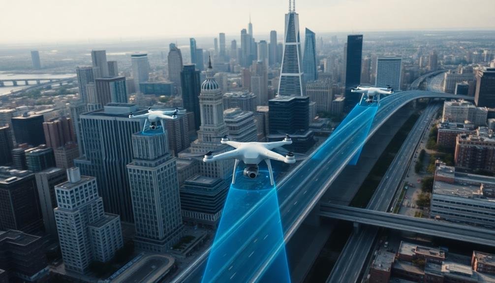
Traffic Flow Optimization
You'll find drones revolutionizing traffic management through real-time congestion monitoring, providing an eagle-eye view of city streets.
They're enabling adaptive traffic light control systems that respond dynamically to changing traffic patterns, reducing wait times and improving flow.
In emergencies, drones can quickly map out ideal routes for first responders, potentially saving vital minutes when lives are at stake.
Real-Time Congestion Monitoring
Imagine soaring above the city, with a bird's-eye view of the traffic below. That's exactly what drones are doing to monitor real-time congestion in urban areas. You'll find these unmanned aerial vehicles equipped with high-resolution cameras and sensors, constantly scanning the streets for traffic build-ups and bottlenecks.
As you navigate through your daily commute, you're benefiting from the data these drones collect. They're feeding information to traffic management systems, allowing for quick adjustments to signal timings and route recommendations. You'll notice smoother traffic flow and fewer unexpected delays, thanks to this bird's-eye perspective.
The advantages of drone-based congestion monitoring are numerous:
- Instant detection of accidents or road obstructions
- Accurate prediction of traffic patterns based on real-time data
- Ability to cover large areas quickly and efficiently
- Reduced need for ground-based sensors and cameras
You're experiencing a more responsive and adaptive urban environment. As drones continue to evolve, you'll see even more sophisticated monitoring capabilities.
They'll integrate with smart city systems, providing an extensive view of urban mobility and helping you navigate your city with unprecedented ease.
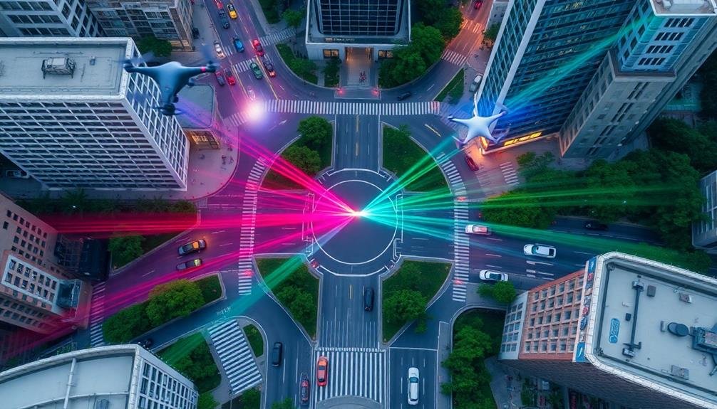
Adaptive Traffic Light Control
Traffic lights are getting smarter thanks to drone technology. You'll notice a significant improvement in traffic flow as drones equipped with advanced sensors and cameras hover above intersections. These aerial observers collect real-time data on vehicle density, speed, and movement patterns, feeding this information directly to traffic management systems.
As you drive through the city, you'll experience fewer unnecessary stops and shorter wait times. The adaptive traffic light system uses drone-collected data to adjust signal timing dynamically. When traffic is light, you'll cruise through more green lights. During rush hour, the system optimizes signal patterns to maximize throughput and minimize congestion.
You'll also benefit from reduced emissions and fuel consumption as idle time decreases. Emergency vehicles will reach their destinations faster, with drones detecting their approach and automatically clearing their path.
Pedestrians and cyclists will enjoy safer crossings, as the system adjusts timing based on their presence.
This drone-enabled adaptive traffic light control represents a significant leap in urban mobility. You'll witness smoother traffic flow, decreased travel times, and improved overall city efficiency as this technology becomes more widespread.
Emergency Route Planning
Drones aren't just improving everyday traffic flow; they're revolutionizing emergency response systems. These aerial devices provide real-time data on road conditions, traffic patterns, and potential obstacles during emergencies.
You'll find that city planners are now integrating drone technology into their emergency route planning strategies.
When disaster strikes, every second counts. Drones can quickly survey the affected areas, allowing emergency services to identify the fastest and safest routes. They can spot:
- Blocked roads
- Damaged infrastructure
- Areas of congestion
- Potential hazards like fires or flooding
This information helps you create dynamic emergency routes that adapt to changing conditions. You'll be able to guide first responders more efficiently, potentially saving lives and minimizing damage.
Moreover, drones can assist in coordinating multiple emergency vehicles simultaneously. You can use them to monitor the progress of ambulances, fire trucks, and police cars, ensuring they don't interfere with each other's paths.
This level of coordination wasn't possible before drone technology.
Green Space Planning
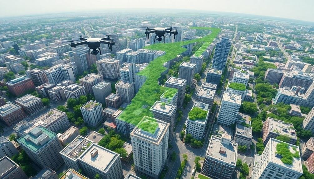
Urban oases are getting a high-tech upgrade thanks to drone technology. You'll find that drones are revolutionizing how cities plan and maintain their green spaces. These aerial helpers provide detailed imagery and data, allowing urban planners to make informed decisions about park layouts, tree placement, and conservation efforts.
With drones, you can now:
| Benefit | Description |
|---|---|
| Map accurately | Create precise 3D models of parks |
| Monitor health | Track vegetation health using infrared |
| Plan efficiently | Optimize layouts for maximum impact |
| Conserve resources | Identify areas needing water or care |
You'll see drones assisting in various aspects of green space planning. They're helping cities identify potential locations for new parks, assess the impact of urban heat islands, and even track wildlife populations. You can expect more efficient use of resources as drones pinpoint areas needing attention, reducing unnecessary maintenance costs.
As you walk through your city's parks, remember that drones are working behind the scenes to guarantee these spaces remain vibrant and sustainable. They're helping create greener, more livable urban environments for you and future generations to enjoy.
Disaster Response and Recovery
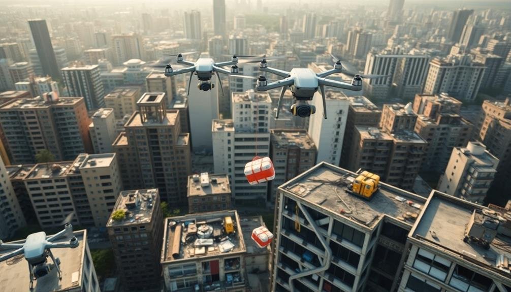
When disaster strikes, every second counts. You'll find drones at the forefront of modern disaster response and recovery efforts, revolutionizing how cities handle emergencies. These aerial tools provide rapid situational awareness, allowing you to assess damage and coordinate rescue operations more efficiently than ever before.
You can deploy drones to:
- Survey affected areas quickly and safely
- Locate survivors in hard-to-reach places
- Deliver essential supplies to isolated communities
- Monitor ongoing hazards like floods or wildfires
With drones, you're able to create real-time maps of disaster zones, helping emergency responders navigate treacherous terrain and prioritize their efforts.
You'll also use them to inspect critical infrastructure, such as bridges and power lines, ensuring they're safe for use in the aftermath.
In the recovery phase, you'll find drones invaluable for documenting damage for insurance claims and planning reconstruction efforts. They'll help you track progress, manage resources, and identify potential hazards that might hinder rebuilding.
Urban Heat Island Mitigation

Heat waves pose a growing threat to urban dwellers, and you're now turning to drones to combat this problem. These aerial devices help you identify and map urban heat islands, areas where temperatures are markedly higher than surrounding regions. By equipping drones with thermal imaging cameras, you can pinpoint hotspots and analyze temperature variations across your city.
Armed with this data, you're able to implement targeted solutions. You're using drones to guide the installation of green roofs and urban gardens, which help cool buildings and surrounding areas. They're also assisting in the strategic placement of reflective surfaces and cool pavements to reduce heat absorption.
Drones are revolutionizing how you monitor the effectiveness of these interventions. You're conducting regular thermal surveys to track temperature changes over time, allowing you to fine-tune your heat mitigation strategies.
Additionally, you're employing drones to inspect and maintain cooling infrastructure, such as misting systems and shade structures. By leveraging these aerial tools, you're creating more resilient urban environments that can better withstand the impacts of rising temperatures and protect your citizens from heat-related health risks.
Public Safety and Crime Prevention
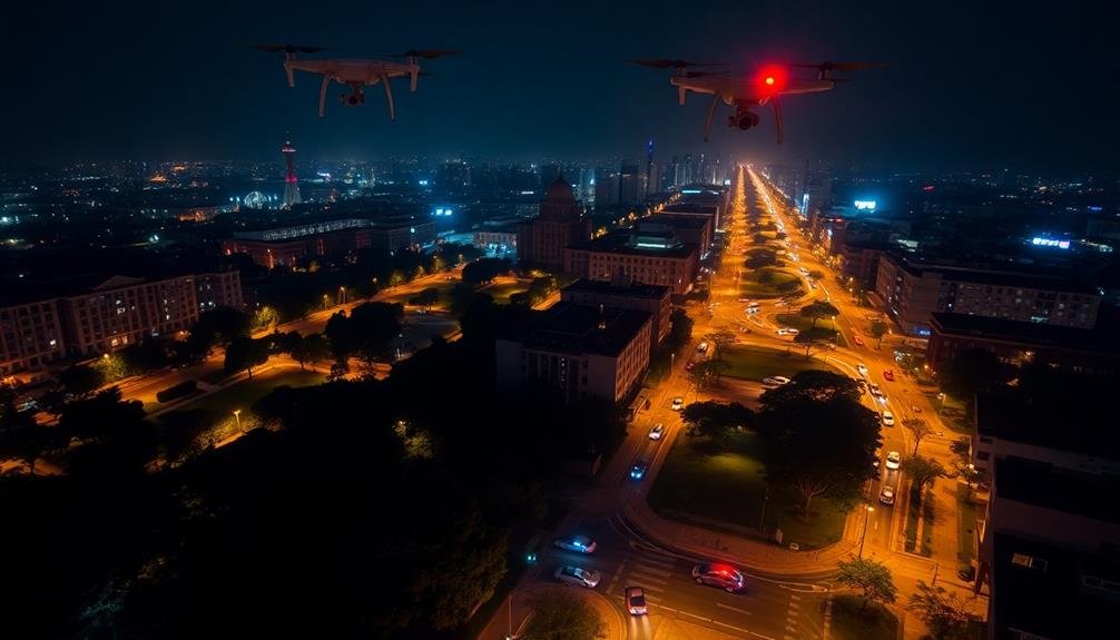
Numerous city planners are now harnessing drone technology to enhance public safety and prevent crime. You'll find these aerial assistants patrolling high-crime areas, monitoring traffic patterns, and aiding in emergency response efforts.
They're equipped with high-resolution cameras and thermal imaging sensors, allowing for real-time surveillance and data collection.
Drones are revolutionizing how law enforcement operates in urban environments. You can expect faster response times to incidents, as drones can quickly scout locations and provide vital information before officers arrive on the scene.
They're also being used to monitor large public gatherings, ensuring crowd safety and identifying potential threats.
Here's how drones are improving public safety and crime prevention:
- Providing aerial support during search and rescue operations
- Monitoring traffic violations and accidents in real-time
- Assisting in fire detection and assessment in urban areas
- Tracking suspects and gathering evidence during criminal investigations
You'll likely see an increased presence of drones in your city as they become an integral part of urban safety strategies.
While privacy concerns remain, many cities are implementing strict guidelines to balance security needs with individual rights.
Frequently Asked Questions
How Do Cities Manage Drone Traffic in Crowded Urban Airspace?
You'll find cities managing drone traffic through dedicated flight corridors, altitude restrictions, and real-time tracking systems. They're implementing no-fly zones, requiring drone registration, and using UTM (Unmanned Traffic Management) platforms to coordinate flights and prevent collisions.
What Privacy Concerns Arise From Increased Drone Usage in Urban Planning?
You'll face privacy concerns as drones capture detailed data about your property and movements. They can peek into your windows, record your activities, and potentially track your location without your knowledge or consent. It's a significant issue.
How Are Drones Integrated With Existing City Management Software Systems?
You'll find drones are being integrated into city management systems through APIs and data sharing protocols. They're feeding real-time information into GIS platforms, traffic management software, and emergency response systems, enhancing urban decision-making and operations efficiency.
What Specific Training Do Urban Planners Need to Effectively Utilize Drones?
You'll need training in drone operation, aerial photography, and data analysis. You should also learn about regulations, safety protocols, and software for mapping and 3D modeling. Don't forget to master image interpretation and GIS integration.
How Do Weather Conditions Affect Drone Operations in Urban Environments?
You'll find weather considerably impacts drone operations in cities. Wind can destabilize flights, rain affects sensors, and extreme temperatures reduce battery life. You must consider visibility, humidity, and air pressure when planning urban drone missions.
In Summary
You've seen how drones are revolutionizing urban planning. They're not just toys; they're powerful tools reshaping our cities. From mapping to maintenance, traffic management to green spaces, these aerial helpers are making urban life better. They're even saving lives in disasters and fighting crime. As you look to the future, expect drones to play an even bigger role in creating smarter, safer, and more sustainable cities for you to live in.
As educators and advocates for responsible drone use, we’re committed to sharing our knowledge and expertise with aspiring aerial photographers.


Leave a Reply