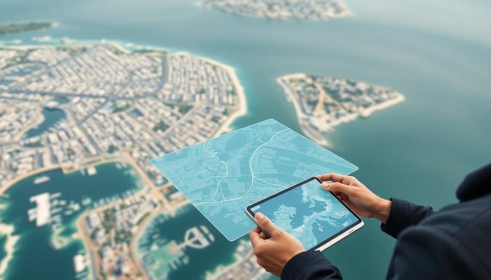
Urban planners now have access to cutting-edge waterfront mapping techniques that revolutionize coastal development and conservation. You can use LiDAR bathymetry for detailed underwater topography, multispectral analysis for shoreline changes, and thermal mapping to detect water quality issues. 3D modeling of coastal structures and time-lapse erosion monitoring provide valuable insights into long-term trends. Underwater habitat mapping and drone-based pollution detection offer environmental assessments, while augmented reality tools enhance visualization. Crowd-sourced data collection engages the community in the planning process. These innovative methods enable you to make more informed decisions and create sustainable waterfront developments. Exploring these techniques further will reveal even more potential for your urban planning projects.
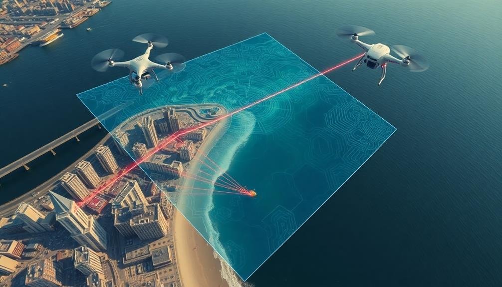
LiDAR Bathymetry Scanning
Nearly all urban planners can benefit from LiDAR bathymetry scanning when mapping waterfront areas. This advanced technology uses laser pulses to measure water depth and underwater topography with exceptional accuracy.
You'll find that LiDAR bathymetry offers several advantages over traditional mapping methods.
First, it's much faster and more efficient than boat-based surveys. You can cover large areas quickly, reducing project timelines and costs. The high-resolution data you'll obtain allows for detailed 3D modeling of underwater terrain, revealing features that might be missed by other techniques.
LiDAR bathymetry is particularly useful in shallow waters and coastal zones, where traditional sonar methods struggle. You'll be able to map areas with complex shorelines, submerged structures, and vegetation with ease. This technology also works well in turbid waters, providing clarity where visibility is limited.
When planning waterfront developments, you can use LiDAR data to assess flood risks, design erosion control measures, and plan infrastructure placement.
It's an invaluable tool for monitoring changes in underwater landscapes over time, helping you make informed decisions about coastal management and urban development strategies.
Multispectral Shoreline Analysis
While LiDAR bathymetry excels at underwater mapping, multispectral shoreline analysis complements it by focusing on the land-water interface. You'll find this technique particularly useful for understanding complex coastal environments and their dynamic changes over time.
Multispectral analysis uses satellite or aerial imagery captured across various light wavelengths. You'll typically work with visible light, near-infrared, and shortwave infrared bands. These different spectral signatures help you distinguish between water, vegetation, and various types of land cover.
To perform multispectral shoreline analysis, you'll need to:
- Acquire high-resolution multispectral imagery
- Pre-process the data to correct for atmospheric effects
- Apply band ratios or indices to highlight water-land boundaries
- Use supervised or unsupervised classification algorithms to delineate shorelines
- Conduct change detection analysis to track shoreline movement
This method allows you to map large coastal areas quickly and cost-effectively. You'll be able to identify erosion hotspots, monitor sediment transport, and assess the impact of coastal development.
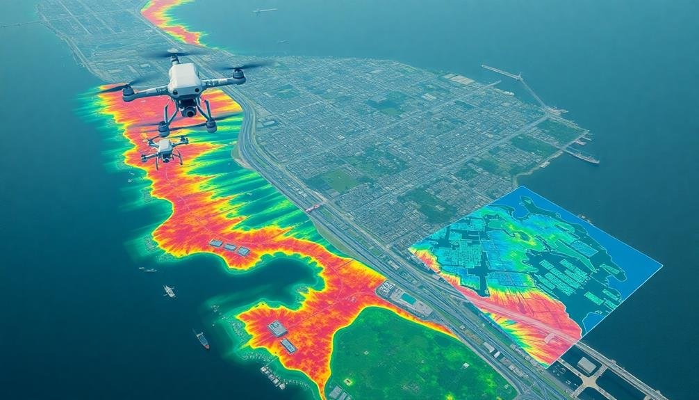
Thermal Mapping for Water Quality
As urban planners focus on waterfront development, thermal mapping emerges as an essential tool for evaluating water quality. You'll find that thermal imaging can reveal temperature variations in water bodies, which often indicate pollution sources, stormwater runoff, or industrial discharges.
By using infrared sensors mounted on drones or satellites, you're able to create detailed heat maps of waterfront areas, pinpointing potential issues that may not be visible to the naked eye.
Thermal mapping offers several advantages for urban planners:
- Rapid identification of thermal plumes from sewage outfalls or industrial effluents
- Detection of groundwater seepage and its impact on surface water temperatures
- Monitoring of urban heat island effects on waterfront microclimates
You can use this data to make informed decisions about zoning, infrastructure improvements, and environmental remediation efforts.
It's particularly useful for identifying areas where water quality issues may impact public health or ecosystem health. By integrating thermal mapping into your waterfront planning process, you'll be better equipped to create sustainable, resilient urban waterfronts that balance development needs with environmental protection.
3D Modeling of Coastal Structures
Creating accurate 3D models of coastal structures is a crucial step in waterfront planning and development. You'll find that these models provide invaluable insights into the existing infrastructure and help visualize future projects.
To create these models, you'll typically use a combination of techniques, including LiDAR scanning, photogrammetry, and traditional surveying methods.
LiDAR technology allows you to capture high-resolution point clouds of coastal structures quickly and efficiently. You'll use these point clouds to generate detailed 3D meshes, which can be further refined with photogrammetric data.
Drones equipped with high-resolution cameras can capture aerial imagery, enabling you to create textured models that closely resemble real-world structures.
When modeling coastal structures, you'll need to pay special attention to factors like tidal changes, wave action, and potential sea-level rise. Integrating bathymetric data into your models will help you understand how underwater topography affects coastal dynamics.
You can use specialized software to simulate various environmental scenarios, allowing you to assess the resilience of existing structures and plan for future adaptations. This approach guarantees that your waterfront development plans are both visually appealing and structurally sound.
Time-Lapse Erosion Monitoring
Time-lapse erosion monitoring offers urban planners a powerful tool for tracking coastal changes over extended periods. You'll find this technique invaluable for understanding long-term trends and predicting future shoreline alterations.
By capturing images at regular intervals, you can create a visual record of erosion processes, sediment transport, and vegetation changes.
To implement time-lapse erosion monitoring effectively, you'll need to:
- Select strategic camera locations that provide thorough coverage of the target area
- Use weather-resistant equipment capable of withstanding harsh coastal conditions
- Set up a reliable power source and data storage system for continuous operation
You'll benefit from analyzing the collected data to identify patterns and rates of erosion. This information will help you make informed decisions about coastal management strategies, such as beach nourishment or construction of protective structures.
You can also use the time-lapse footage to educate stakeholders and the public about the dynamic nature of coastlines.
AI-Powered Land Use Classification
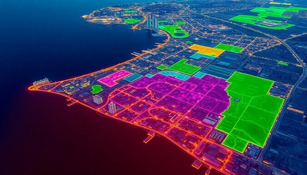
AI-powered land use classification represents a significant advancement in waterfront mapping techniques. This innovative approach leverages machine learning algorithms to automatically categorize land use types along coastal areas. You'll find that these AI systems can quickly analyze satellite imagery, aerial photographs, and other geospatial data to identify and classify various waterfront features.
When you're using AI-powered classification, you'll benefit from its ability to detect subtle patterns and changes in land use over time. It can distinguish between residential, commercial, industrial, and recreational areas, as well as identify natural features like wetlands, beaches, and forested regions.
This technology also excels at recognizing infrastructure such as ports, marinas, and coastal defenses. You'll appreciate the time and cost savings that AI classification offers compared to traditional manual mapping methods. It's particularly useful for large-scale projects or when you need to update maps frequently.
Additionally, AI systems can be trained to recognize specific local features, making them adaptable to different coastal environments. As an urban planner, you'll find this tool invaluable for making informed decisions about waterfront development, conservation, and risk management.
Underwater Habitat Mapping
When mapping underwater habitats, you'll find sonar-based seafloor scanning invaluable for creating detailed topographical maps of the aquatic environment.
You can use this technology to identify key features like reefs, seagrass beds, and underwater structures that influence marine ecosystems.
For a closer look at specific habitats, you'll want to employ Remotely Operated Vehicles (ROVs) equipped with high-resolution cameras and sensors to assess biodiversity, substrate composition, and overall habitat health.
Sonar-Based Seafloor Scanning
While traditional mapping methods focus on land-based features, sonar-based seafloor scanning has revolutionized underwater habitat mapping for urban planners. This technology allows you to create detailed maps of the seafloor, providing essential information for waterfront development projects. By emitting sound waves and analyzing their echoes, sonar systems can accurately measure depth, identify underwater structures, and detect variations in seafloor composition.
You'll find that sonar-based seafloor scanning offers several advantages:
- High-resolution imaging of underwater terrain
- Ability to map large areas quickly and efficiently
- Detection of submerged objects and potential hazards
When you're planning waterfront developments, this technology helps you make informed decisions about construction, environmental impact, and marine resource management.
It's particularly useful for identifying sensitive habitats, such as coral reefs or seagrass beds, which require protection during urban development. You can also use sonar data to assess the stability of underwater slopes, locate suitable sites for marine infrastructure, and monitor changes in seafloor topography over time.
ROV Habitat Assessment
Building on the insights gained from sonar-based seafloor scanning, urban planners can further enhance their underwater habitat mapping through ROV (Remotely Operated Vehicle) habitat assessment.
You'll find that ROVs offer a more detailed and dynamic approach to underwater exploration, allowing you to observe marine ecosystems in real-time.
When you're using ROVs, you can navigate through complex underwater structures and capture high-resolution video footage of marine life and habitats. This technology enables you to identify specific species, assess biodiversity, and evaluate the overall health of underwater ecosystems.
You'll also be able to document changes in habitat conditions over time, which is essential for long-term urban planning and environmental management.
ROVs equipped with specialized sensors can collect data on water quality, temperature, and currents, providing a thorough understanding of the underwater environment.
You can use this information to make informed decisions about waterfront development, conservation efforts, and potential impacts on marine life.
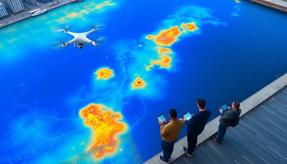
Drone-Based Pollution Detection
You'll find drone-based pollution detection revolutionizing waterfront mapping through advanced technologies.
Aerial spectral analysis allows you to identify pollutants from above, while real-time water sampling drones collect data directly from the water's surface.
Thermal imaging applications enable you to detect temperature variations, potentially indicating pollutant discharge points or illegal dumping activities.
Aerial Spectral Analysis
Drones equipped with advanced spectral sensors are revolutionizing waterfront pollution detection. You'll find these aerial platforms capable of capturing detailed imagery across various light spectrums, allowing you to identify pollutants that aren't visible to the naked eye.
By analyzing the reflected light from water surfaces, you can detect chemical compositions, algal blooms, and other contaminants.
When you're using aerial spectral analysis for waterfront mapping, you'll benefit from:
- Real-time data collection, enabling rapid response to pollution events
- Non-invasive monitoring that doesn't disturb aquatic ecosystems
- Cost-effective coverage of large areas compared to traditional sampling methods
You'll need to calibrate your drone's sensors to detect specific pollutants of concern in your urban waterfront.
By combining spectral data with GPS coordinates, you'll create detailed pollution maps that highlight problem areas. This information will prove invaluable for urban planning decisions, helping you prioritize cleanup efforts and implement targeted pollution prevention strategies.
You'll also be able to track the effectiveness of environmental policies over time by conducting regular aerial surveys and comparing spectral data sets.
Real-Time Water Sampling
While aerial spectral analysis provides valuable insights, real-time water sampling takes drone-based pollution detection to the next level. You'll find that this technique offers immediate, on-site data collection for urban planners and environmental scientists. By equipping drones with specialized sensors and sampling devices, you can gather precise information about water quality, pollutant concentrations, and ecosystem health.
Here's a comparison of real-time water sampling methods:
| Method | Advantages | Limitations |
|---|---|---|
| Surface skimming | Quick, wide coverage | Limited depth analysis |
| Depth profiling | Thorough data | Slower, requires specialized equipment |
| Multi-point sampling | Diverse data points | More complex data interpretation |
You'll appreciate the efficiency of this approach, as it allows for rapid assessment of large water bodies. It's particularly useful in identifying point-source pollution, monitoring algal blooms, and tracking the spread of contaminants. By integrating real-time water sampling with other mapping techniques, you'll create a thorough picture of waterfront conditions. This data-driven approach enables you to make informed decisions about urban development, environmental restoration, and public health measures along waterfronts.
Thermal Imaging Applications
Several thermal imaging applications have revolutionized drone-based pollution detection for waterfront mapping. You'll find these technologies invaluable for identifying and monitoring various types of water pollution quickly and efficiently.
Thermal cameras mounted on drones can detect temperature differences in water bodies, helping you spot illegal discharges, sewage outflows, and industrial runoff.
When using thermal imaging for waterfront mapping, you'll benefit from:
- Real-time visualization of thermal patterns
- Detection of subtle temperature variations
- Ability to cover large areas in a short time
You can use this technology to create detailed thermal maps of waterfronts, highlighting potential pollution hotspots. These maps will help you prioritize areas for further investigation and remediation efforts.
By combining thermal imaging with other sensors, such as multispectral cameras, you'll gain a thorough understanding of water quality issues.
Thermal imaging also allows you to monitor the effectiveness of pollution control measures over time. You'll be able to track changes in thermal patterns and assess the impact of interventions.
This data-driven approach will enhance your decision-making process and improve the overall management of waterfront areas.
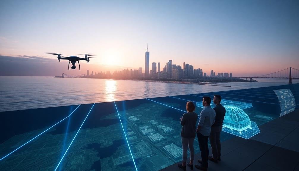
Augmented Reality Visualization Tools
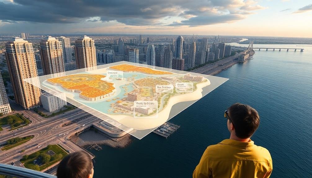
Leveraging cutting-edge technology, augmented reality (AR) visualization tools have revolutionized waterfront mapping for urban planners. These tools allow you to overlay digital information onto the real world, providing a dynamic and interactive way to visualize waterfront development plans.
With AR, you can walk along the shoreline and see proposed structures, landscaping, and infrastructure superimposed on the existing environment. This immersive experience helps you better understand spatial relationships and potential impacts of your designs. You'll be able to adjust elements in real-time, experimenting with different layouts and configurations on-site.
AR visualization tools also enhance stakeholder engagement. You can invite community members, investors, and government officials to experience proposed waterfront developments firsthand. They'll be able to explore virtual models from various angles, fostering a more informed decision-making process.
These tools integrate seamlessly with other mapping techniques, such as LiDAR and photogrammetry. You can combine high-resolution 3D scans of the existing waterfront with AR overlays, creating a thorough and accurate representation of your plans.
This integration guarantees that your designs are grounded in reality while pushing the boundaries of innovation in urban waterfront development.
Crowd-Sourced Waterfront Data Collection
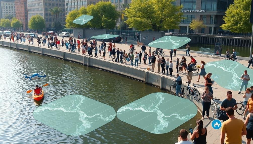
Crowd-sourced waterfront data collection offers a powerful complement to high-tech mapping solutions.
You'll find that engaging community members in the mapping process can yield rich, localized information that might otherwise be missed. By leveraging smartphones and user-friendly apps, urban planners can tap into the collective knowledge of residents, visitors, and local experts.
When implementing a crowd-sourced approach, you should consider these key elements:
- User-friendly mobile apps that allow easy submission of geotagged photos, comments, and observations
- Clear guidelines and prompts to guarantee the collected data is relevant and useful
- Gamification elements to encourage ongoing participation and data quality
You'll need to balance the quantity of data with its quality. Implement verification processes to filter out inaccurate or irrelevant submissions.
Consider partnering with local organizations, schools, and community groups to boost participation and data accuracy.
Remember, crowd-sourced data isn't just about collecting information; it's about fostering community engagement and ownership in the waterfront planning process.
Frequently Asked Questions
How Do Waterfront Mapping Techniques Impact Local Real Estate Values?
You'll find that waterfront mapping techniques can greatly boost local real estate values. They highlight desirable properties, identify flood risks, and showcase amenities. This information helps buyers make informed decisions, driving up prices for prime waterfront locations.
What Are the Legal Implications of Using Crowd-Sourced Data for Urban Planning?
You'll face potential legal issues when using crowd-sourced data for urban planning. Privacy concerns, data accuracy, and liability for decisions based on this information can arise. It's essential to guarantee compliance with data protection laws and obtain proper consent.
How Can Small Municipalities Afford Advanced Waterfront Mapping Technologies?
You can explore cost-effective options like partnering with universities, applying for grants, or using open-source software. Don't forget to contemplate shared resources with neighboring towns or crowdsourcing data from local volunteers to offset expenses.
What Career Opportunities Are Available in Innovative Waterfront Mapping?
You'll find diverse career paths in innovative waterfront mapping. You can become a GIS specialist, hydrographer, remote sensing analyst, or environmental consultant. You might also explore roles in urban planning, coastal management, or marine technology development.
How Do Cultural Factors Influence the Adoption of New Mapping Techniques?
You'll find cultural factors shape mapping adoption in various ways. They'll influence local priorities, data accessibility, and technology acceptance. You'd need to contemplate traditional practices, language barriers, and community engagement when introducing new mapping techniques.
In Summary
You've explored cutting-edge waterfront mapping techniques that'll revolutionize urban planning. From LiDAR bathymetry to crowd-sourced data collection, these tools offer unprecedented insights into coastal environments. They'll help you make informed decisions about development, conservation, and climate resilience. By embracing these innovations, you're not just mapping waterfronts; you're shaping the future of coastal cities. Stay curious, keep learning, and don't hesitate to integrate these technologies into your planning processes.
As educators and advocates for responsible drone use, we’re committed to sharing our knowledge and expertise with aspiring aerial photographers.


Leave a Reply