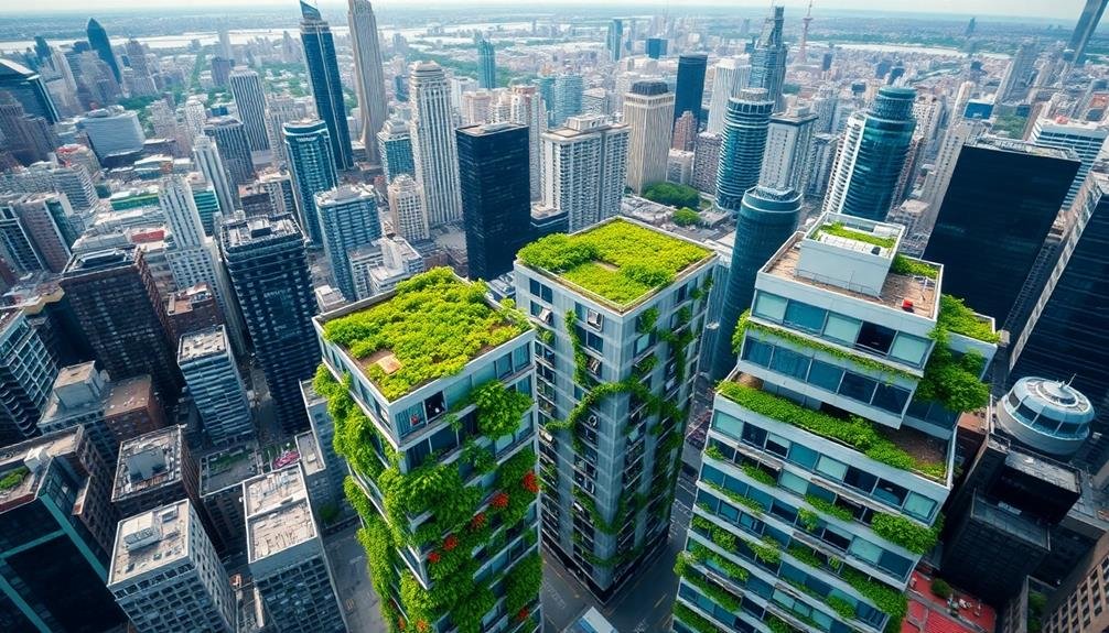
Sky-high imagery revolutionizes urban farming with three powerful strategies. First, you'll map rooftop gardens by analyzing structural elements, sunlight exposure, and weight-bearing capacity. This guarantees ideal plant placement and safety. Second, you'll assess vertical farming potential by evaluating building facades, surrounding infrastructure, and zoning regulations. This helps identify prime locations for efficient crop production. Finally, you'll pinpoint community green spaces using aerial imagery to locate underutilized areas with good sunlight and accessibility. These strategies maximize urban space for agriculture, promoting sustainability and food security. Exploring these techniques further will reveal even more potential for transforming cityscapes into thriving green havens.
Rooftop Garden Mapping
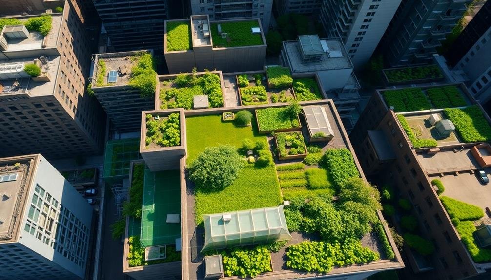
When you're planning a rooftop garden, mapping is an essential first step. You'll need to create a detailed layout of your rooftop space, taking into account structural elements, weight-bearing capacity, and access points. Start by measuring the entire area and creating a to-scale drawing or digital model.
Next, identify sunny and shaded areas, as well as spots that are protected from or exposed to wind. This information will help you determine the best locations for different plant varieties.
Don't forget to map out existing features like vents, chimneys, and skylights, which can affect your garden's layout. Consider water access points and drainage systems, as these will impact your irrigation plan.
You'll also want to mark potential areas for seating, storage, and pathways. Use your map to plan for container placement, raised beds, or even hydroponic systems.
Factor in the weight of soil, plants, and water when deciding on garden bed locations. Finally, consult with a structural engineer to verify your rooftop can support your garden plans safely.
Vertical Farming Potential Assessment
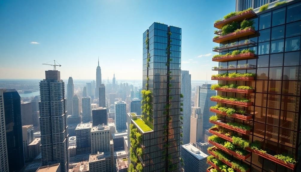
Nearly every urban space has untapped potential for vertical farming. To assess this potential, you'll need to analyze various factors using aerial imagery and data. Start by identifying suitable building facades, taking into account factors like sunlight exposure, structural integrity, and accessibility. Look for south-facing walls in the northern hemisphere or north-facing walls in the southern hemisphere to maximize sunlight.
Next, evaluate the surrounding infrastructure. Check for nearby water sources, electricity access, and transportation routes. These elements are essential for the success of vertical farms. Use high-resolution imagery to spot potential obstacles like neighboring buildings that might cast shadows or create wind tunnels.
Don't forget to take into account zoning regulations and building codes. Some areas may have restrictions on agricultural activities or building modifications. By overlaying this information with your aerial imagery, you'll quickly identify the most promising locations for vertical farming initiatives.
Lastly, assess the potential yield of different crops based on available space and growing conditions. This data will help you determine the economic viability of vertical farming projects in specific urban areas.
Community Green Space Identification
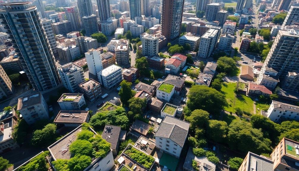
Numerous urban areas have hidden potential for community green spaces. You can use high-resolution aerial imagery to identify these underutilized spaces and transform them into thriving urban farms.
By analyzing satellite photos, you'll spot vacant lots, rooftops, and unused parcels that could be perfect for community gardens or small-scale farming operations.
When searching for potential green spaces, focus on these key factors:
- Sunlight exposure: Look for areas that receive ample sunlight throughout the day.
- Accessibility: Identify spaces that are easily reachable by community members.
- Size and shape: Consider whether the area is large enough and appropriately shaped for your farming needs.
You'll want to pay attention to zoning regulations and land ownership when evaluating potential sites.
Once you've identified suitable locations, you can begin reaching out to property owners or local authorities to discuss the possibility of converting these spaces into community gardens or urban farms.
Frequently Asked Questions
How Does Urban Farming Impact Local Wildlife and Biodiversity?
You'll find that urban farming can considerably boost local biodiversity. It creates habitats for insects, birds, and small mammals. However, you should be mindful of potential conflicts with existing wildlife and use sustainable practices to maximize benefits.
What Are the Legal Implications of Starting an Urban Farm?
You'll need to check local zoning laws and obtain necessary permits. Consider regulations on land use, food safety, and sales. Don't forget to comply with health codes and environmental regulations. It's wise to consult a lawyer for guidance.
Can Urban Farming Significantly Reduce a City's Carbon Footprint?
Yes, urban farming can greatly reduce a city's carbon footprint. You'll see benefits from reduced food transportation, increased green spaces, and improved air quality. It's a powerful tool for sustainable urban development and climate change mitigation.
How Do Urban Farms Affect Property Values in Surrounding Neighborhoods?
You'll find urban farms often boost property values in surrounding neighborhoods. They create green spaces, improve aesthetics, and promote community engagement. These factors make areas more desirable, potentially increasing home prices and rental rates in the vicinity.
What Role Does Water Conservation Play in Successful Urban Farming Practices?
You'll find water conservation vital in urban farming. It's important to use efficient irrigation methods, collect rainwater, and choose drought-resistant plants. You can also implement greywater systems and mulching to reduce water waste and costs.
In Summary
You've now got powerful tools to revolutionize urban farming. By mapping rooftop gardens, you'll maximize unused space. Evaluating vertical farming potential will help you stack crops efficiently. Identifying community green spaces creates collaborative growing opportunities. With these sky-high imagery strategies, you're ready to transform your city into a thriving agricultural hub. Don't wait – start implementing these techniques today and watch your urban farm flourish from the ground up!
As educators and advocates for responsible drone use, we’re committed to sharing our knowledge and expertise with aspiring aerial photographers.


Leave a Reply