
You'll find these seven techniques highly effective for aerial wildlife observation: thermal imaging drone surveys, high-altitude fixed-wing mapping, multispectral imaging for habitat analysis, low-altitude quadcopter reconnaissance, automated flight path programming, AI-powered animal detection software, and silent drone technology implementation. Each method offers unique advantages, from detecting hidden animals with heat signatures to analyzing vast areas efficiently. You can track migrations, assess ecosystem health, and capture stunning footage while minimizing disturbance to wildlife. These innovative approaches provide unprecedented access to animal habitats and behaviors, revolutionizing conservation efforts. Exploring these techniques further will reveal a wealth of possibilities for your wildlife research and protection initiatives.
Thermal Imaging Drone Surveys
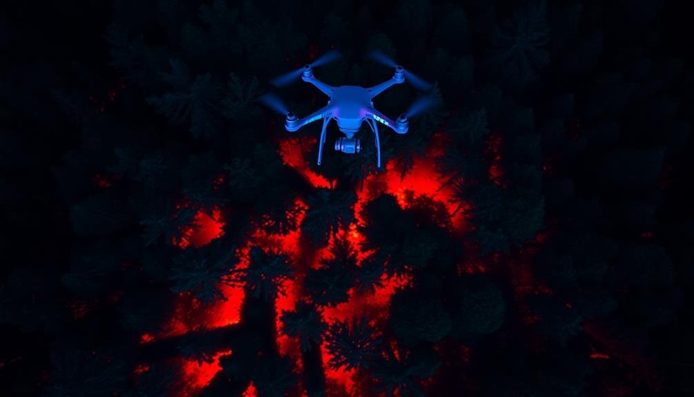
Soaring above the landscape, thermal imaging drones have revolutionized wildlife observation techniques. These high-tech devices allow you to detect animals' heat signatures, making it possible to spot creatures that would otherwise be hidden from view.
You'll find thermal drones particularly useful for nocturnal surveys or when searching dense vegetation.
To conduct a thermal imaging drone survey, you'll need a drone equipped with a thermal camera. You'll fly the drone at a predetermined altitude and speed, capturing thermal imagery of the area below. The thermal camera detects temperature differences, highlighting warm-blooded animals against cooler backgrounds.
You'll need to interpret the thermal images carefully, as different species have varying heat signatures. Large mammals like deer or bears will appear as bright, distinct shapes, while smaller animals may be less obvious.
You'll also need to take into account environmental factors that can affect thermal readings, such as sunlight-warmed rocks or water bodies.
When using thermal drones, you must follow local regulations and obtain necessary permits. Always prioritize wildlife safety by maintaining a respectful distance and minimizing disturbance.
With proper training and responsible use, thermal imaging drone surveys can provide valuable data for wildlife research and conservation efforts.
High-Altitude Fixed-Wing Mapping
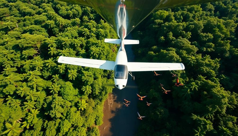
Expansive landscapes unfold beneath the wings of high-altitude fixed-wing aircraft, offering a bird's-eye view for wildlife mapping. You'll find this method particularly useful for surveying large areas and tracking migratory patterns. Fixed-wing aircraft can cover vast territories efficiently, making them ideal for monitoring expansive habitats or conducting population counts.
You'll need to equip your aircraft with high-resolution cameras and GPS systems to capture detailed imagery. As you soar above, you'll be able to spot wildlife congregations, identify key habitats, and detect changes in ecosystems over time. This technique is especially valuable for studying elusive species or those in remote locations.
| Species | Habitat | Observation Ease |
|---|---|---|
| Elephants | Savanna | Easy |
| Lions | Grasslands | Moderate |
| Whales | Ocean | Challenging |
| Eagles | Mountains | Easy |
| Pandas | Forests | Difficult |
Multispectral Imaging for Habitat Analysis
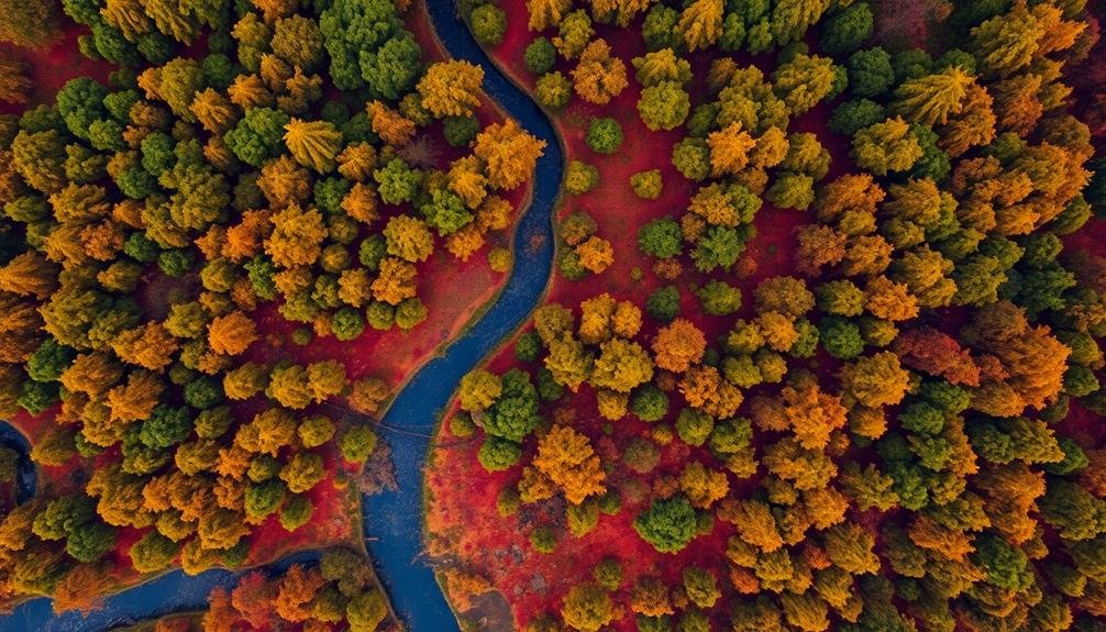
You'll find multispectral imaging to be a powerful tool for evaluating vegetation health, mapping species distribution, and tracking seasonal habitat changes.
This technology captures data across multiple light spectrums, revealing information invisible to the naked eye.
Vegetation Health Assessment
Multispectral imaging has revolutionized vegetation health evaluation in wildlife habitats. You'll find this technology invaluable for monitoring ecosystem health and identifying potential issues before they become critical. By capturing data across multiple spectral bands, you can detect subtle changes in plant physiology that aren't visible to the naked eye.
When you're evaluating vegetation health, you'll use specialized sensors to measure reflected light in various wavelengths. This data allows you to calculate vegetation indices like NDVI (Normalized Difference Vegetation Index), which provides insights into plant vigor and density. You'll also be able to identify signs of stress, disease, or nutrient deficiencies in plants.
To effectively use multispectral imaging for vegetation health evaluation, you'll need to:
- Choose appropriate spectral bands for your specific habitat and plant species.
- Calibrate your sensors regularly to guarantee accurate data collection.
- Use software tools to process and analyze the multispectral data.
- Combine multispectral data with other environmental factors for thorough habitat analysis.
Species Distribution Mapping
Mapping species distribution is a crucial aspect of wildlife management that benefits immensely from multispectral imaging techniques. You'll find that these advanced tools allow you to gather detailed information about habitats and animal populations across large areas quickly and efficiently.
When you're using multispectral imaging for species distribution mapping, you're capturing data across multiple wavelengths of light, including those invisible to the human eye. This gives you an extensive view of vegetation types, water sources, and other habitat features that influence animal distribution.
You can identify specific plant species, assess vegetation density, and even detect subtle changes in soil moisture.
Seasonal Habitat Changes
Nearly all habitats undergo significant changes throughout the year, and multispectral imaging is an invaluable tool for tracking these seasonal shifts. You'll find this technology especially useful for observing large-scale alterations in vegetation, water bodies, and soil conditions. By capturing data across multiple wavelengths of light, you can detect subtle changes that might be invisible to the naked eye.
To effectively use multispectral imaging for seasonal habitat analysis, you'll need to plan regular surveys throughout the year. This will allow you to create a thorough timeline of changes. Pay close attention to key change periods, such as spring leaf-out or autumn senescence.
You can use specialized software to process and analyze the collected data, creating color-coded maps that highlight specific habitat features.
When interpreting your results, look for patterns in vegetation health, water availability, and land cover changes. These indicators can provide essential insights into wildlife behavior and movement patterns.
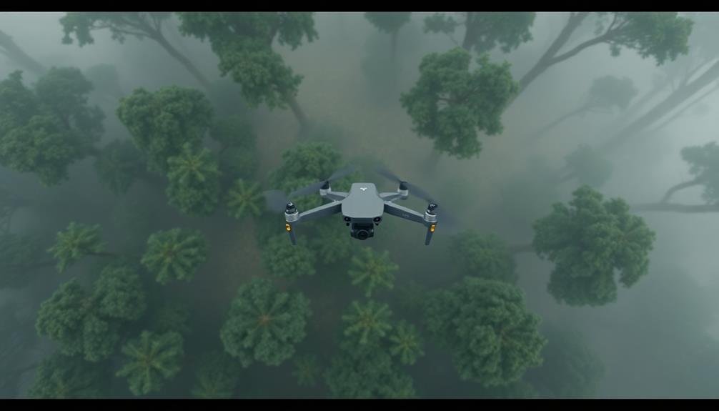
Low-Altitude Quadcopter Reconnaissance
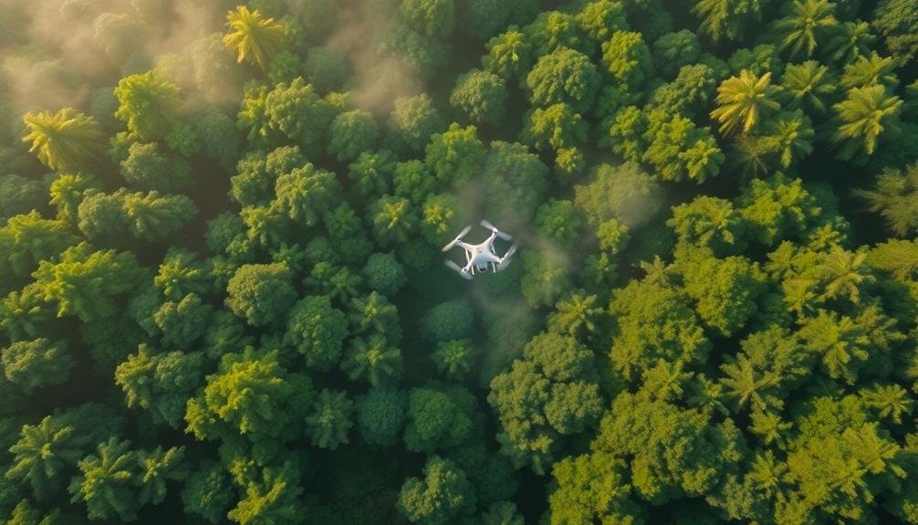
The gentle hum of rotors signals a new era in wildlife observation. Low-altitude quadcopter reconnaissance offers unprecedented access to animal habitats without disturbing the ecosystem.
You'll find that these nimble drones provide a bird's-eye view of wildlife behavior, allowing you to capture stunning footage and gather valuable data.
When using quadcopters for wildlife observation, remember to:
- Maintain a respectful distance to avoid stressing animals
- Use quiet, electric models to minimize noise pollution
- Follow local regulations and obtain necessary permits
You'll need to master the art of piloting your drone smoothly to capture steady footage.
Practice flying at various altitudes and speeds to find the ideal settings for different species and environments. Equip your quadcopter with a high-resolution camera and, if possible, thermal imaging technology for nighttime observations.
Automated Flight Path Programming
As you advance in your drone piloting skills, automated flight path programming becomes an essential tool for efficient wildlife observation. This technique allows you to pre-plan your drone's route, ensuring thorough coverage of the target area while minimizing disturbance to animals.
To get started, you'll need to familiarize yourself with your drone's flight planning software. Most modern drones offer this feature, allowing you to set waypoints, altitudes, and speeds for each leg of the flight.
When creating your flight path, consider the terrain, vegetation density, and known animal habitats. Start by plotting a grid pattern over your area of interest, adjusting the spacing based on your camera's field of view and the size of the animals you're observing.
Program your drone to fly at a consistent altitude that provides clear visibility without causing stress to wildlife.
Don't forget to include safety parameters in your automated flight plan. Set a maximum flight time and a "return to home" point in case of low battery or signal loss.
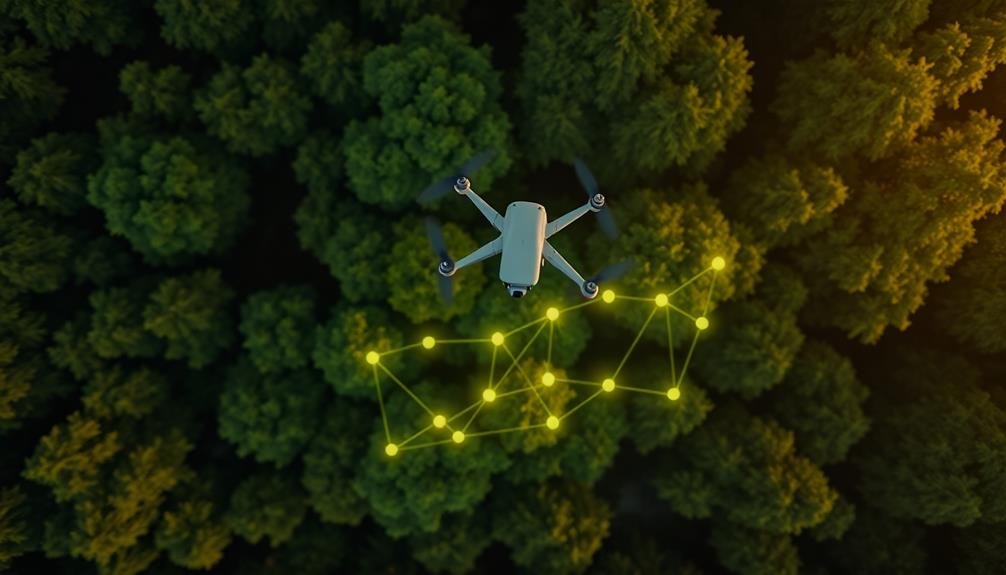
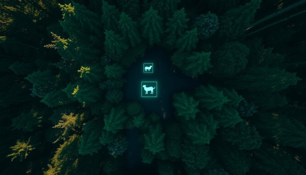
AI-Powered Animal Detection Software
While automated flight paths enhance efficiency, combining them with AI-powered animal detection software takes wildlife observation to new heights. This cutting-edge technology uses machine learning algorithms to identify and track animals in real-time, even in challenging environments.
You'll be amazed at how quickly and accurately these systems can spot wildlife that might otherwise go unnoticed. AI-powered detection software analyzes video feeds from your drone's camera, instantly recognizing different species based on their unique characteristics.
It can differentiate between animals and their surroundings, even in dense foliage or low-light conditions. You'll receive alerts when target species are detected, allowing you to focus your attention on the most promising areas.
The emotional impact of using this technology is profound:
- Excitement as you witness rare or elusive species in their natural habitats
- Satisfaction from contributing to conservation efforts with precise population data
- Awe at the power of technology to reveal nature's hidden wonders
Silent Drone Technology Implementation
You'll find that silent drone technology is revolutionizing wildlife observation.
By incorporating noise reduction mechanisms, such as specialized propellers and sound-dampening materials, you can minimize disturbance to animals.
Additionally, you'll want to adopt wildlife-friendly flight patterns, including maintaining safe distances and avoiding sensitive areas, to further reduce the impact on natural behaviors.
Noise Reduction Mechanisms
Silent drone technology has revolutionized wildlife observation techniques. You'll find that noise reduction mechanisms play an essential role in minimizing disturbance to animals during aerial surveys. By implementing these mechanisms, you can capture more authentic wildlife behavior without alerting or stressing the subjects.
One of the most effective noise reduction techniques is the use of brushless motors. These motors eliminate the need for noisy gears, markedly reducing the drone's overall sound output.
You'll also want to take into account propeller design, as specially engineered blades can minimize air turbulence and decrease noise levels.
To further enhance your wildlife observation experience, reflect on these emotional benefits of using silent drones:
- The thrill of witnessing undisturbed natural behavior
- A sense of connection with nature without human interference
- The satisfaction of contributing to non-invasive research methods
Sound dampening materials applied to the drone's body can absorb vibrations and reduce noise transmission.
Additionally, flight path refinement can help minimize noise impact by keeping the drone at ideal altitudes and distances from wildlife.
Wildlife-Friendly Flight Patterns
Implementing wildlife-friendly flight patterns is essential when using silent drone technology for observation. You'll need to take into account factors like altitude, speed, and approach angles to minimize disturbance to animals. Fly at higher altitudes when possible, as this reduces the drone's visibility and perceived threat to wildlife.
Maintain a steady, slow speed to avoid startling animals. Approach subjects gradually from the side rather than directly overhead. This allows animals to become accustomed to the drone's presence without feeling threatened. You should also avoid sudden movements or rapid changes in direction.
| Flight Pattern | Benefits | Considerations |
|---|---|---|
| Circular Orbit | 360° view | Maintain distance |
| Grid Pattern | Systematic coverage | Avoid repetitive passes |
| Hover and Hold | Detailed observation | Limited duration |
When observing nesting sites or sensitive habitats, keep your distance and use zoom capabilities instead of flying closer. Plan your flight path to avoid known migration routes or breeding grounds. Always prioritize the well-being of wildlife over getting the perfect shot. By following these wildlife-friendly flight patterns, you'll minimize stress on animals while still capturing valuable observational data.
Frequently Asked Questions
How Do Weather Conditions Affect Aerial Wildlife Observation Techniques?
Weather greatly impacts your aerial wildlife observation. You'll find clear skies ideal for visibility, while wind affects flight stability. Rain and fog can obscure views. You'll need to adapt your techniques based on current conditions.
What Legal Restrictions Apply to Drone Use in Wildlife Reserves?
You'll need to follow strict regulations when using drones in wildlife reserves. You're often required to obtain permits, maintain minimum distances from animals, and avoid protected areas. Don't forget to check local laws before flying.
Can These Techniques Be Used for Nocturnal Animal Observation?
You can adapt some techniques for nighttime wildlife observation. You'll need specialized equipment like thermal cameras or night vision devices. It's important to be extra cautious, as nocturnal animals are more sensitive to disturbances. Always follow local regulations.
How Does Aerial Observation Impact Animal Behavior and Stress Levels?
You'll find that aerial observation can greatly alter animal behavior. It often causes stress, leading to changes in movement patterns and hiding. You're likely to see animals fleeing or seeking cover when they detect your presence above.
What Training Is Required to Operate Advanced Wildlife Observation Equipment?
You'll need specialized training to operate advanced wildlife observation equipment. You'll learn about camera systems, thermal imaging, GPS tracking, and data analysis. You'll also require certifications for drone operation and safety protocols.
In Summary
You've now explored cutting-edge techniques for observing wildlife from above. By combining thermal imaging, high-altitude mapping, multispectral analysis, and AI-powered detection, you're well-equipped to conduct non-invasive surveys. Don't forget to program automated flight paths and use silent drone technology to minimize disturbance. With these tools at your disposal, you'll gain valuable insights into animal behavior and habitats while respecting wildlife. Keep pushing the boundaries of aerial observation to advance conservation efforts.
As educators and advocates for responsible drone use, we’re committed to sharing our knowledge and expertise with aspiring aerial photographers.


Leave a Reply