To revolutionize crop monitoring with precision technology, you'll need to embrace drone mapping and data-driven farming. Start by selecting the right drone equipped with high-resolution cameras and specialized sensors. Plan effective flight missions, considering field size and weather conditions. Capture quality aerial imagery and process it using advanced software to analyze crop health indicators like NDVI and LAI. Use these insights to make informed decisions on irrigation, fertilization, and pest control. Implement variable rate technology for precise resource allocation. By overcoming challenges like battery life and regulatory compliance, you'll reveal the full potential of precision agriculture. The journey to optimized farming practices is just beginning.
Understanding Precision Agriculture Drone Mapping
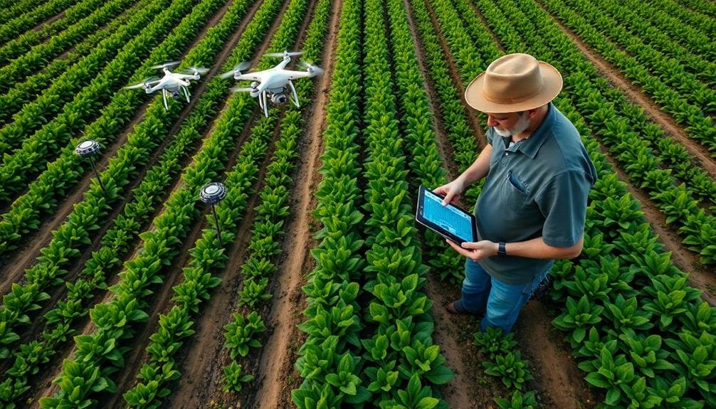
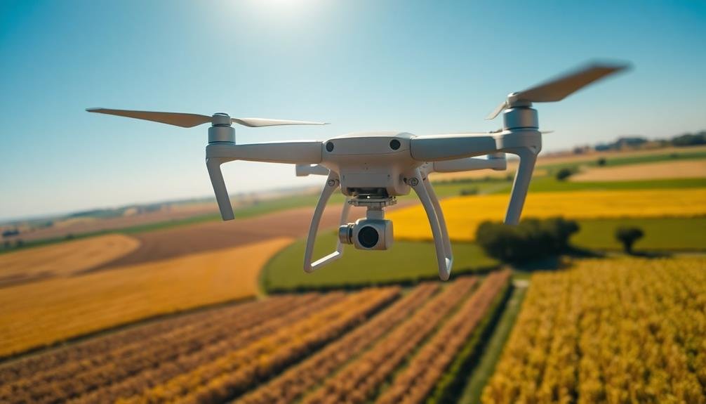
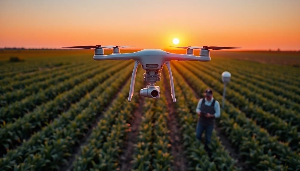
As precision agriculture continues to evolve, drone mapping has emerged as a game-changing tool for farmers and agronomists. This technology allows you to capture high-resolution aerial images of your fields, providing detailed insights into crop health, soil conditions, and overall farm performance.
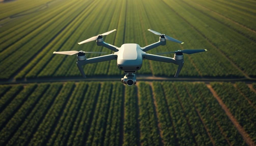
To understand precision agriculture drone mapping, you'll need to familiarize yourself with the key components. First, there's the drone itself, equipped with specialized cameras and sensors. These capture multispectral images, revealing information invisible to the naked eye.
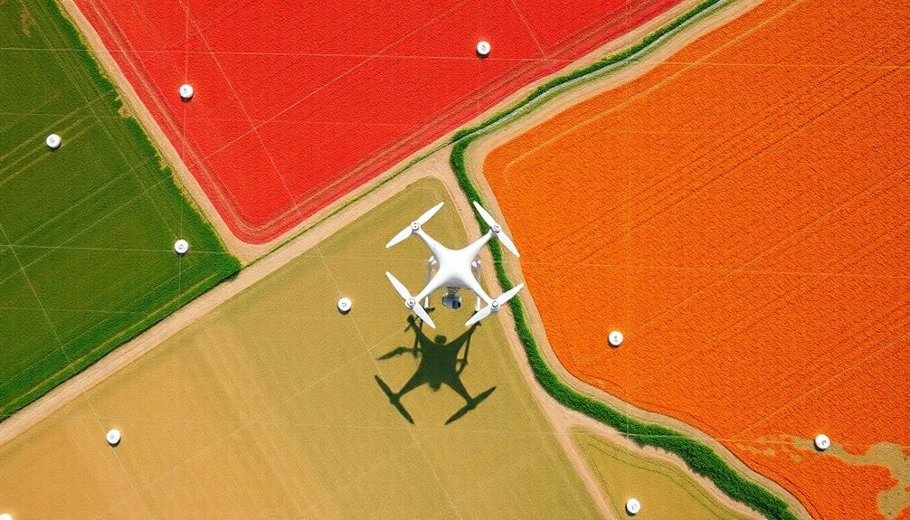
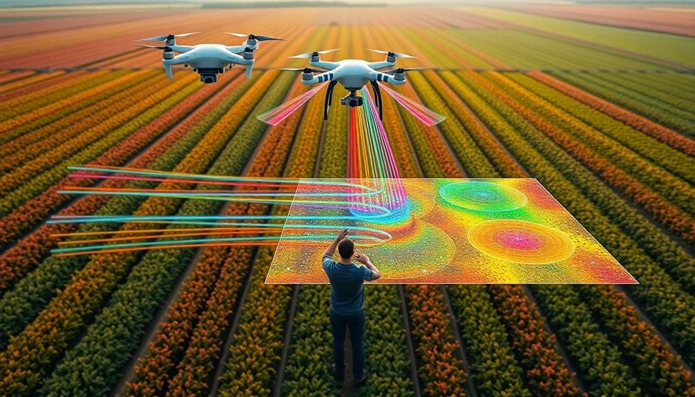
Next, you'll use software to process and analyze the collected data, creating detailed maps and reports. The maps you generate can show various aspects of your fields, including plant health indices, water stress levels, and even pest infestations.
By interpreting this data, you can make informed decisions about irrigation, fertilization, and pest control. This targeted approach allows you to optimize resource use and boost crop yields.
To get started with drone mapping, you'll need to invest in the right equipment and software. You'll also need to comply with local regulations regarding drone use in agriculture.
With practice, you'll be able to revolutionize your crop monitoring methods and take your farming practices to new heights.
Selecting the Right Drone Equipment
When it comes to selecting the right drone equipment for precision agriculture, you'll need to contemplate several key factors.
First, consider the size of your fields and the type of crops you're monitoring. Larger areas may require drones with longer flight times and greater range. For detailed crop analysis, choose a drone with a high-resolution camera capable of capturing both RGB and multispectral imagery.
Pay attention to the drone's payload capacity, as you might need to carry additional sensors or equipment. Look for models with obstacle avoidance systems and GPS capabilities for precise flight control and mapping accuracy.
Weather resistance is essential, so opt for drones that can withstand wind and light rain.
Don't forget about software compatibility. Confirm your chosen drone integrates seamlessly with agricultural analysis platforms for efficient data processing.
Consider the drone's ease of use and the level of training required for your team. Finally, factor in your budget and the potential return on investment. While high-end drones offer advanced features, mid-range options can still provide valuable insights for many farming operations.
Planning Effective Flight Missions
With your drone equipment selected, it's time to focus on planning effective flight missions. Start by defining your objectives: Are you monitoring crop health, evaluating irrigation, or detecting pest infestations? Your goals will dictate flight parameters and data collection methods.
Next, create a detailed flight plan. Use mapping software to outline your field boundaries and set waypoints. Consider factors like altitude, speed, and overlap between flight paths to guarantee thorough coverage.
Don't forget to account for battery life and plan multiple flights if necessary.
Choose the right time of day for your mission. Early morning or late afternoon often provide the best lighting conditions for aerial imaging. Avoid midday sun, which can cause glare and shadows.
Before takeoff, check weather conditions. Wind speeds above 15 mph can affect image quality and drone stability.
Also, verify you're complying with local regulations and have necessary permissions.
Capturing High-Quality Aerial Imagery
For capturing high-quality aerial imagery, proper camera settings are essential. You'll need to adjust your camera's shutter speed, aperture, and ISO to match the lighting conditions and flight speed. Aim for a fast shutter speed to minimize motion blur, typically 1/1000th of a second or faster. Set your aperture between f/4 and f/8 for peak sharpness, and keep your ISO as low as possible to reduce noise.
Use a high-resolution camera with at least 20 megapixels to capture detailed images. Opt for RAW format rather than JPEG to preserve more data for post-processing. Verify your drone's gimbal is properly calibrated to maintain a steady shot throughout the flight.
Plan your flight path to maintain consistent altitude and overlap between images. Aim for 70-80% front overlap and 60-70% side overlap to create seamless orthomosaics. Consider the time of day and weather conditions; early morning or late afternoon light often produces the best results. Avoid flying on windy days or when there's significant cloud cover.
After your flight, review and organize your images promptly. Use specialized software to stitch together your aerial photos and create detailed maps of your crops.
Processing and Analyzing Drone Data
Once you've captured high-quality aerial imagery, the next step is to process and analyze the drone data. You'll need specialized software to stitch together individual images into a detailed orthomosaic map. This process involves aligning and blending the images to create a seamless, high-resolution view of your entire field.
Next, you'll analyze the data using various algorithms and tools. These can help you identify crop health issues, estimate yields, and detect pest infestations. Many software platforms offer automated analysis features, saving you time and providing actionable insights.
| Analysis Type | Purpose |
|---|---|
| NDVI | Assess crop health |
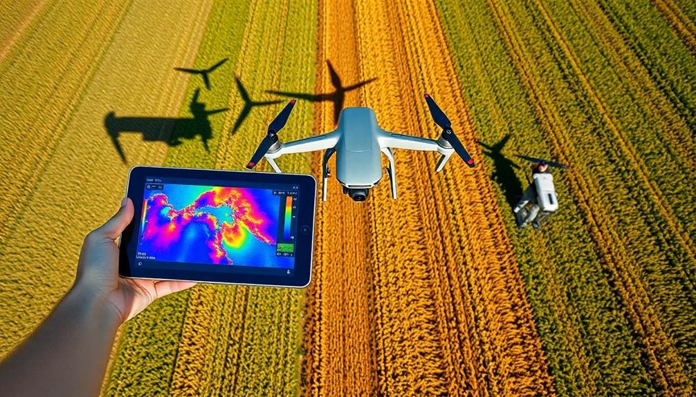
| Thermal imaging | Detect water stress |
| RGB analysis | Identify pest damage |
| 3D modeling | Measure plant height |
To get the most out of your drone data, consider integrating it with other precision agriculture tools, such as soil sensors and weather stations. This combination of data sources can provide a more detailed view of your field's conditions, enabling you to make more informed decisions about irrigation, fertilization, and pest management. Remember to regularly calibrate your analysis tools and validate results with ground-truthing to guarantee accuracy.
Interpreting Crop Health Indicators
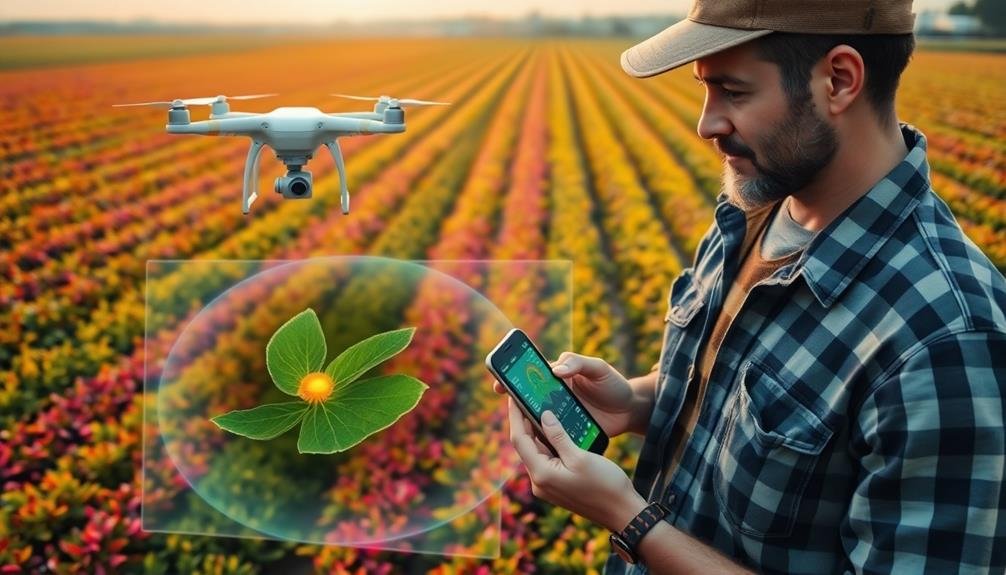
After processing your drone data, you'll need to interpret the various crop health indicators to make informed decisions. Start by analyzing the Normalized Difference Vegetation Index (NDVI), which measures plant vigor and chlorophyll content. Higher NDVI values indicate healthier vegetation, while lower values suggest stress or poor growth.
Pay attention to color variations in your imagery. Healthy crops typically appear bright green, while yellowing or browning can indicate nutrient deficiencies, pest infestations, or water stress. Look for patterns in these color changes to identify problem areas quickly.
Examine leaf area index (LAI) data to assess crop canopy density and potential yield. Higher LAI values generally correlate with better crop performance.
Monitor thermal imagery to detect temperature variations, which can reveal irrigation issues or disease outbreaks.
Don't overlook soil moisture content indicators. These can help you optimize irrigation schedules and prevent water stress.
Compare your findings with historical data and regional benchmarks to gauge overall crop health trends.
Implementing Data-Driven Farming Decisions
You'll transform your farming practices by analyzing field performance data to make informed decisions.
By optimizing resource allocation based on this data, you can improve efficiency and reduce waste.
You'll also gain the ability to predict crop yields accurately, allowing for better planning and management of your agricultural operations.
Analyze Field Performance Data
Data-driven farming decisions hinge on the thorough analysis of field performance data. To revolutionize your crop monitoring, you'll need to dive deep into the wealth of information collected from your fields.
Start by aggregating data from various sources, including satellite imagery, soil sensors, weather stations, and yield monitors. Use advanced analytics tools to process this data and identify patterns, trends, and correlations.
Focus on key performance indicators such as crop yield, soil health, water usage, and nutrient levels. Compare these metrics across different areas of your fields and against historical data to pinpoint areas for improvement.
Look for anomalies or unexpected variations that might indicate underlying issues or opportunities for optimization.
Don't forget to take into account external factors like weather patterns and market conditions when analyzing your field performance data. By integrating these variables, you'll gain a more extensive understanding of your farm's productivity and potential.
Use data visualization techniques to present your findings in an easily digestible format. This will help you and your team quickly identify actionable insights and make informed decisions about crop management, resource allocation, and long-term planning.
Optimize Resource Allocation
With your field performance data analyzed, it's time to put those insights into action by optimizing resource allocation. Use the information you've gathered to make data-driven decisions about how to distribute your resources most effectively across your fields.
Start by identifying areas that require more attention or inputs. You might find that certain sections of your field need additional irrigation, fertilizer, or pest control measures. Conversely, you may discover areas where you can reduce resource use without compromising yield. This targeted approach allows you to allocate resources more efficiently, potentially reducing overall costs while maximizing productivity.
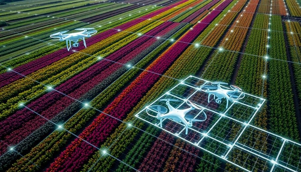
Consider implementing variable rate technology (VRT) for precise application of inputs. VRT enables you to adjust application rates of fertilizers, seeds, and pesticides based on specific field conditions. This precision guarantees that each area of your field receives exactly what it needs, minimizing waste and optimizing crop growth.
Don't forget to factor in weather forecasts and soil moisture data when planning your resource allocation. This information can help you time irrigation and other interventions more effectively, further improving resource efficiency and crop health.
Predict Crop Yield Accurately
Accurate crop yield prediction stands at the forefront of data-driven farming decisions. By leveraging precision technology, you can forecast your harvest with unprecedented accuracy. This allows you to make informed choices about resource allocation, marketing strategies, and financial planning.
To predict crop yield accurately, you'll need to integrate various data sources:
- Historical yield data
- Real-time field conditions
- Weather forecasts
Combine these inputs with advanced machine learning algorithms to generate reliable predictions. You'll be able to identify potential issues early, such as areas of low productivity or pest infestations, and take corrective action before they impact your yield.
Don't forget to regularly update your prediction models with new data. As you collect more information throughout the growing season, your forecasts will become increasingly precise.
This iterative process helps you fine-tune your farming practices and maximize productivity.
Overcoming Challenges in Drone Monitoring
Drone monitoring in agriculture has taken off in recent years, but it's not without its hurdles. You'll need to address several challenges to maximize the benefits of this technology. First, consider battery life limitations, which can restrict flight time and coverage area. You'll also face potential interference from weather conditions, affecting image quality and data accuracy.
To overcome these obstacles, you should:
- Invest in high-capacity batteries or implement battery swap stations
- Plan flights during favorable weather conditions
- Use advanced image processing software to enhance data quality
Another significant aspect is regulatory compliance. You must adhere to local aviation laws and obtain necessary permits. Additionally, you'll need to address privacy concerns from neighboring properties.
Here's a quick overview of common challenges and solutions:
| Challenge | Impact | Solution |
|---|---|---|
| Battery Life | Limited coverage | High-capacity batteries |
| Weather | Poor data quality | Weather-resistant drones |
| Regulations | Legal issues | Obtain proper permits |
| Data Processing | Inefficient analysis | AI-powered software |
| Privacy Concerns | Neighbor complaints | Communication and consent |
Frequently Asked Questions
How Does Drone Monitoring Compare to Satellite Imagery for Crop Assessment?
You'll find that drone monitoring offers higher resolution and more frequent data compared to satellite imagery. It's more flexible, allowing you to capture specific areas on demand. However, satellites cover larger areas more efficiently.
What Are the Legal Requirements for Using Drones in Agricultural Settings?
You'll need to register your drone with the FAA, obtain a remote pilot certificate, and follow specific regulations. Don't fly over people, respect privacy laws, and check local restrictions. Always keep your drone in sight while operating.
Can Drones Be Used for Precision Application of Pesticides or Fertilizers?
Yes, you can use drones for precision application of pesticides and fertilizers. They're equipped with GPS and specialized sprayers, allowing you to target specific areas efficiently. This reduces chemical usage and minimizes environmental impact while optimizing crop health.
How Do Weather Conditions Affect Drone Monitoring Accuracy and Scheduling?
Weather conditions greatly impact your drone monitoring. Wind can affect flight stability, while rain or fog reduce visibility. You'll need to schedule flights during ideal conditions to guarantee accurate data collection and avoid equipment damage.
What Training Is Required for Farm Staff to Operate Agricultural Drones?
You'll need training in drone piloting, safety regulations, and data analysis. Learn to operate the specific agricultural drone model, interpret crop imagery, and follow local laws. Hands-on practice and ongoing education are essential for proficiency.
In Summary
You've now got the tools to revolutionize your crop monitoring. By embracing drone technology, you'll gain unprecedented insights into your fields. Remember, it's not just about flying drones; it's about making informed decisions with the data you collect. As you implement these strategies, you'll face challenges, but the benefits of precision agriculture are worth it. Keep innovating, stay adaptable, and watch your farm's productivity soar to new heights.
As educators and advocates for responsible drone use, we’re committed to sharing our knowledge and expertise with aspiring aerial photographers.


Leave a Reply