
Precision agriculture's "eyes in the sky" are transforming irrigation practices. You'll find drones and satellites equipped with advanced sensors capturing high-resolution images of your fields. These aerial technologies detect soil moisture levels, crop health, and water stress before visible signs appear. By integrating this data with weather forecasts and crop growth stages, you can make real-time irrigation decisions. You'll optimize water use, applying it only where and when needed. This targeted approach not only conserves resources but also boosts crop yields and quality. As drone technology advances, you'll see even more precise and autonomous monitoring capabilities revolutionizing farm management. The future of efficient irrigation is looking up.
Understanding Precision Agriculture

Efficiency lies at the heart of precision agriculture. This innovative approach to farming uses advanced technologies to optimize crop production and resource management.
You'll find that precision agriculture relies on a combination of GPS, remote sensing, and data analytics to make informed decisions about planting, irrigation, fertilization, and pest control.
By adopting precision agriculture techniques, you're able to tailor your farming practices to the specific needs of each area within your fields. This site-specific management allows you to apply the right amount of inputs at the right time and place, reducing waste and maximizing yields.
You'll use tools like soil sensors, drones, and satellite imagery to gather detailed information about your crops and field conditions.
The data you collect helps you create accurate maps of your farmland, identifying variations in soil type, moisture levels, and crop health.
With this knowledge, you can adjust your practices accordingly, applying water and nutrients only where they're needed most. You'll also be able to detect and address issues early on, preventing crop losses and improving overall productivity.
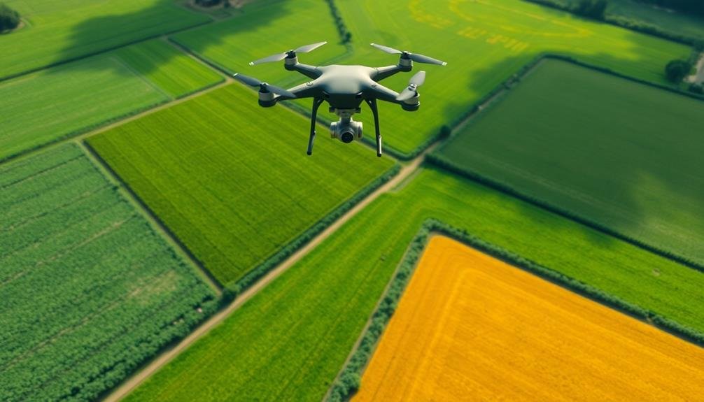
Drone Technology in Farming
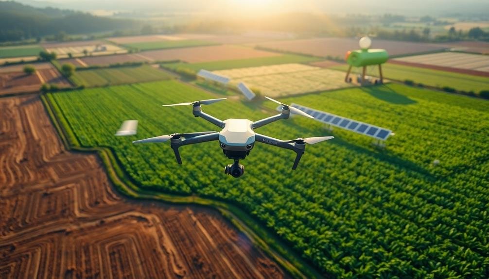
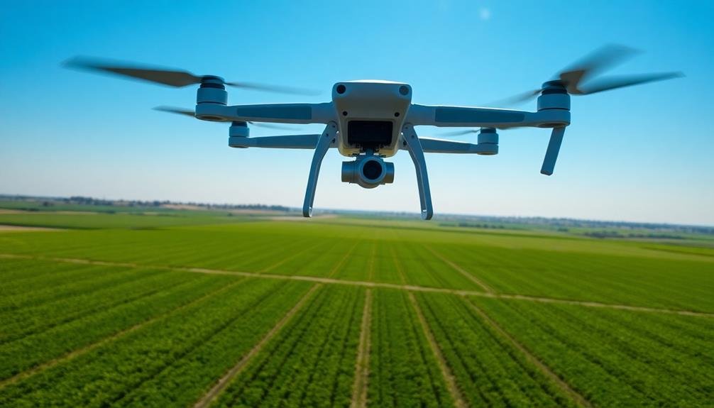
As precision agriculture continues to evolve, drone technology has emerged as a game-changing tool for farmers. You'll find drones equipped with high-resolution cameras and sensors that can capture detailed imagery of your fields. These aerial surveys provide valuable data on crop health, soil conditions, and pest infestations.
You can use drones to create accurate field maps, monitor crop growth, and identify problem areas quickly. They'll help you make informed decisions about irrigation, fertilization, and pest control. With thermal imaging capabilities, drones can detect water stress in your crops before visible signs appear, allowing for targeted irrigation.
You'll appreciate how drones save you time and resources. Instead of walking or driving through your fields, you can survey large areas in minutes. This efficiency lets you address issues promptly, potentially increasing your yields and reducing costs.
When integrating drone technology into your farming practices, you'll need to evaluate regulations, training, and data management. But with proper implementation, you'll gain a powerful tool that enhances your precision agriculture efforts and improves your overall farm management.
Aerial Imaging for Crop Analysis
Leveraging aerial imaging for crop analysis revolutionizes how you monitor and manage your fields. With high-resolution cameras and multispectral sensors mounted on drones or satellites, you'll gain unprecedented insights into your crops' health and performance.
These aerial images provide you with detailed maps of your fields, highlighting variations in crop vigor, pest infestations, and nutrient deficiencies. You'll be able to identify problem areas quickly, allowing for targeted interventions before issues escalate.
The near-infrared and thermal imaging capabilities let you assess plant stress levels and water content, enabling more efficient irrigation practices.
By analyzing time-series imagery, you can track crop growth patterns throughout the season and make data-driven decisions on fertilizer application, pest control, and harvest timing. This technology also aids in yield estimation, helping you plan logistics and market strategies more effectively.
Aerial imaging integrates seamlessly with other precision agriculture tools, such as GPS-guided machinery and soil sensors, creating a thorough farm management system.
You'll reduce input costs, minimize environmental impact, and optimize crop yields by applying resources only where and when they're needed.
Soil Moisture Detection From Above
Detecting soil moisture from above is a game-changer in precision agriculture. You can now assess your field's water content without stepping foot on the ground.
Remote sensing technologies, such as synthetic aperture radar (SAR) and thermal imaging, allow you to measure soil moisture across vast areas quickly and efficiently.
SAR sensors emit microwave signals that penetrate the soil surface and bounce back, providing data on moisture levels up to several centimeters deep. You'll find this method particularly useful for large-scale monitoring, as it works regardless of cloud cover or time of day.
Thermal imaging, on the other hand, measures surface temperature variations, which correlate with soil moisture content. You can use this technique to identify dry spots in your fields that require immediate attention.
Real-Time Irrigation Decision Making
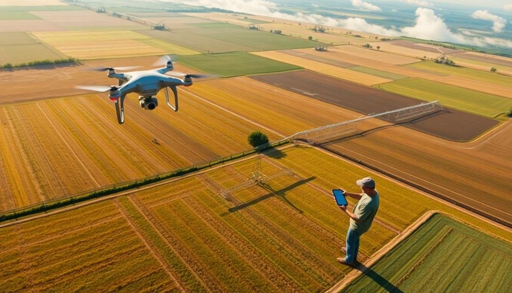
Real-time irrigation decision making builds on accurate soil moisture data to optimize water usage in your fields. By combining soil moisture information with weather forecasts, crop growth stages, and your farm's specific needs, you can make informed choices about when and how much to irrigate.
You'll receive alerts when soil moisture levels drop below critical thresholds, allowing you to act quickly. These systems often integrate with your irrigation equipment, enabling automated adjustments based on predefined rules.
You can set different irrigation schedules for various zones within your fields, accounting for soil variations and crop requirements.
The real-time aspect means you're not just reacting to past conditions but anticipating future needs. If a heatwave is forecasted, you might increase irrigation beforehand to prevent stress on your crops.
Conversely, you can reduce water application if rain is expected, avoiding overwatering and potential runoff.
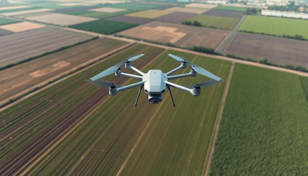
Crop Health Monitoring via Drones
Eyes in the sky, drones are revolutionizing crop health monitoring in precision agriculture. You can now gather high-resolution imagery of your fields quickly and efficiently, providing valuable insights into plant health, pest infestations, and nutrient deficiencies.
These unmanned aerial vehicles equipped with specialized cameras and sensors capture detailed data that you'd miss from ground level.
With drone technology, you'll detect crop stress early, allowing for timely interventions. Multispectral and thermal imaging reveal variations in plant vigor, helping you identify problem areas before they're visible to the naked eye. You can spot irrigation issues, disease outbreaks, or areas of poor growth, enabling targeted treatments and resource allocation.
Drones also save you time and labor. Instead of walking fields for hours, you can survey large areas in minutes, generating extensive maps and reports. This data integrates seamlessly with your farm management software, enhancing decision-making processes.
Future of Drone-Assisted Agriculture
As you look to the future of drone-assisted agriculture, you'll see an increasing shift towards autonomous crop monitoring.
You'll witness drones operating independently, continuously collecting data on crop health, soil conditions, and pest infestations.
This wealth of information will enable you to make data-driven decisions, optimizing your farming practices with unprecedented precision and efficiency.
Autonomous Crop Monitoring
Drones are revolutionizing the future of crop monitoring in precision agriculture. You'll find these flying robots equipped with advanced sensors and cameras, capable of gathering vast amounts of data about your fields. They can detect plant stress, measure chlorophyll levels, and identify pest infestations before they become visible to the naked eye.
With autonomous crop monitoring, you're no longer limited by time-consuming manual inspections. Drones can cover large areas quickly, providing you with real-time information about your crops' health and growth patterns. They'll help you make data-driven decisions about irrigation, fertilization, and pest control, optimizing your resource use and potentially increasing yields.
You'll appreciate the ability to create detailed, high-resolution maps of your fields, showing variations in soil moisture, nutrient levels, and crop density. This precision allows you to implement variable rate applications, applying inputs only where they're needed.
As drone technology continues to advance, you'll see improvements in battery life, flight duration, and data processing capabilities, making autonomous crop monitoring an indispensable tool in modern agriculture.
Data-Driven Precision Farming
With data-driven precision farming, you're entering a new era of agricultural efficiency. You'll harness the power of data collected from various sources, including drones, sensors, and satellite imagery, to make informed decisions about your crops. This approach allows you to optimize resource use, increase yields, and reduce environmental impact.
You'll use advanced analytics to interpret the vast amounts of data collected. These insights will help you determine precise irrigation needs, identify pest infestations early, and optimize fertilizer application.
You'll be able to create detailed field maps showing soil composition, moisture levels, and crop health, enabling targeted interventions.
Machine learning algorithms will predict crop yields, allowing you to plan harvests and manage resources more effectively.
You'll also benefit from real-time weather data integration, helping you make timely decisions about planting, spraying, and harvesting.
Frequently Asked Questions
How Much Does It Cost to Implement Drone Technology in Precision Agriculture?
You'll find drone technology costs vary widely in precision agriculture. You're looking at $1,000 to $10,000 for basic setups, while advanced systems can run $20,000 to $100,000+. It's a significant investment, but often pays off.
What Are the Legal Regulations Surrounding Drone Use in Agricultural Settings?
You'll need to comply with FAA regulations for commercial drone use in agriculture. You must register your drone, obtain a remote pilot certificate, and follow rules on altitude, airspace, and visual line-of-sight operations.
Can Drones Be Used for Pest Detection and Management in Crops?
You can definitely use drones for pest detection and management in crops. They'll help you spot infestations early, map problem areas, and even apply targeted pesticides. This precision approach saves time, money, and reduces chemical use.
How Do Weather Conditions Affect Drone Performance in Agricultural Applications?
You'll find that weather greatly impacts drone performance in agriculture. Wind can disrupt flight, rain can damage electronics, and extreme temperatures affect battery life. Cloudy conditions may hinder image quality for crop monitoring tasks.
What Training Is Required for Farmers to Effectively Use Drone Technology?
You'll need basic drone operation training, including flight controls and safety protocols. Learn data analysis skills to interpret aerial imagery. Familiarize yourself with agricultural software and regulations. Hands-on practice is essential for mastering drone use in farming.
In Summary
You're witnessing a revolution in farming. With drones as your eyes in the sky, you'll make smarter irrigation decisions and boost crop health. You'll save water, reduce costs, and increase yields. As drone technology advances, you'll have even more powerful tools at your fingertips. Embrace precision agriculture – it's not just the future, it's your present. By adopting these innovations, you're ensuring a more sustainable and productive agricultural landscape for generations to come.
As educators and advocates for responsible drone use, we’re committed to sharing our knowledge and expertise with aspiring aerial photographers.


Leave a Reply