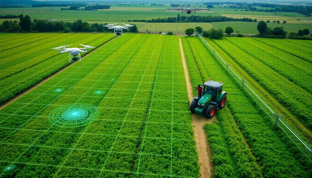
To maximize crop yield with drone data, start by selecting a drone with adequate payload capacity and flight time. Plan efficient flight paths and schedule missions during key growth stages. Calibrate sensors regularly for accurate data collection. Analyze multispectral imagery to assess crop health indicators like NDVI. Monitor for nutrient deficiencies using spectral band analysis. Integrate drone data with your farm management software for extensive insights. Finally, act quickly on real-time data to address issues like pest infestations or irrigation needs. By implementing these tips, you'll reveal the full potential of drone technology to boost your agricultural productivity. The following sections will provide deeper insights into each strategy.
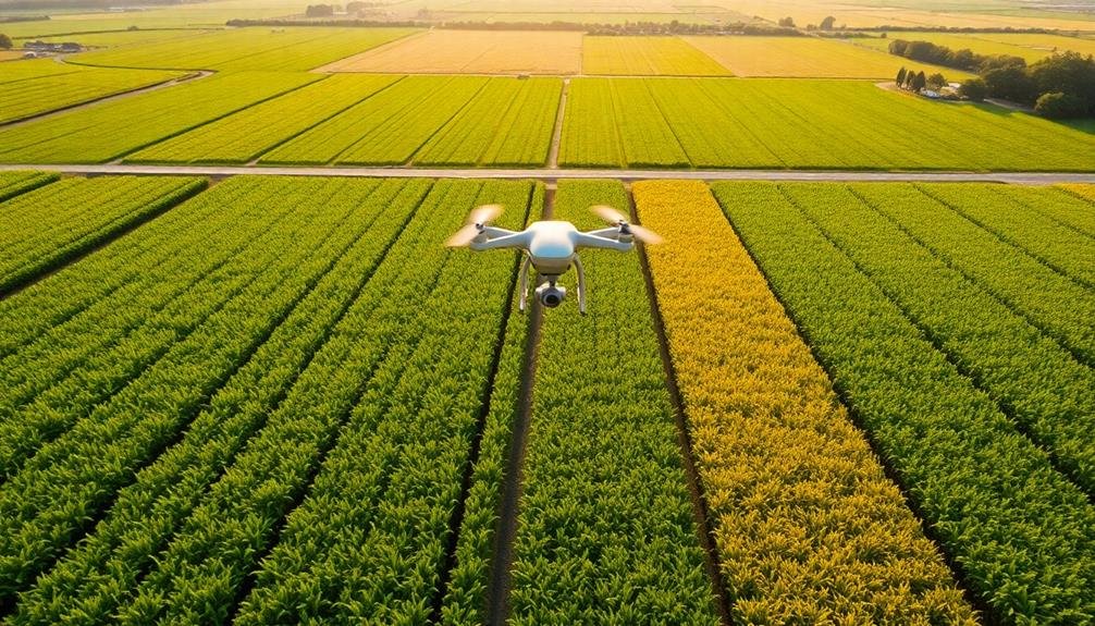
Choose the Right Drone
Three key factors should guide your drone selection for crop yield monitoring: payload capacity, flight time, and sensor compatibility.
Payload capacity determines the type and number of sensors your drone can carry. Opt for a drone that can handle multispectral or hyperspectral cameras, as these provide detailed crop health data.
Flight time is essential for covering large fields efficiently. Look for drones with at least 30 minutes of flight time to maximize your surveying capabilities.
Ensure your chosen drone is compatible with the sensors you need. Many agricultural drones come with integrated sensors, but you may want the flexibility to upgrade or switch sensors as technology advances.
Consider drones with modular designs that allow for easy sensor swaps. Weather resistance is another important factor. Your drone should withstand light rain and winds up to 15-20 mph to maintain consistent data collection schedules.
Additionally, look for drones with automated flight planning and obstacle avoidance features. These will help you maintain consistent flight paths and altitudes, ensuring accurate data comparisons over time.
Optimize Flight Planning
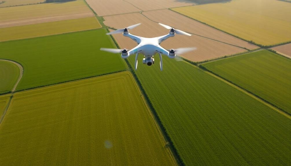
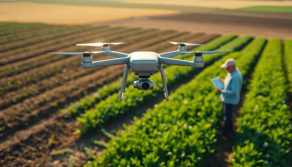
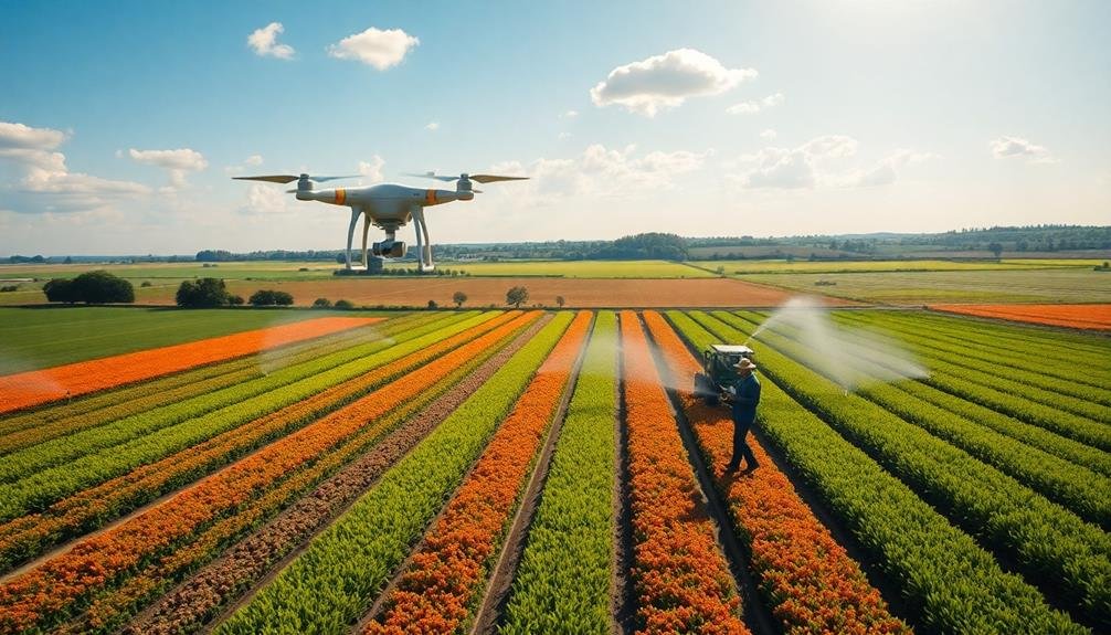
With your drone selected, it's time to focus on flight planning for ideal data collection. Start by determining the best flight altitude for your field size and desired image resolution. Lower altitudes provide higher resolution but require more flight time and battery power. Aim for a balance between detail and efficiency.
Plan your flight path to guarantee complete coverage of your field. Use a grid or lawn-mower pattern, with sufficient overlap between passes to capture all areas. Consider factors like wind direction and obstacles when designing your route. Schedule flights during calm weather conditions for the best image quality.
Timing is essential for accurate crop assessment. Plan flights at key growth stages, such as emergence, mid-season, and pre-harvest. Consistent timing allows for better comparisons across the growing season. Consider flying at the same time of day to maintain consistent lighting conditions.
Don't forget to check local regulations and obtain necessary permissions before flying. Respect airspace restrictions and privacy concerns of neighboring properties.
Calibrate Sensors for Accuracy

Consistently calibrating your drone's sensors is vital for obtaining accurate crop data. Before each flight, verify you've calibrated the camera, multispectral sensors, and any other data collection instruments.
Start with the camera's white balance, adjusting it to match the lighting conditions of your field. This step is essential for accurate color representation in your images.
For multispectral sensors, use calibration panels or targets with known reflectance values. Place these panels in your field and capture images of them during your flight. This allows you to correct for atmospheric conditions and sensor variations.
Don't forget to calibrate your drone's GPS and inertial measurement unit (IMU) regularly. These components affect the accuracy of your flight path and image geotagging.
Temperature can impact sensor performance, so allow your drone to acclimate to outdoor conditions before calibrating.
Keep a log of your calibration procedures and results to track sensor performance over time. If you notice inconsistencies in your data, it may be time to recalibrate or service your sensors.
Analyze Multispectral Imagery
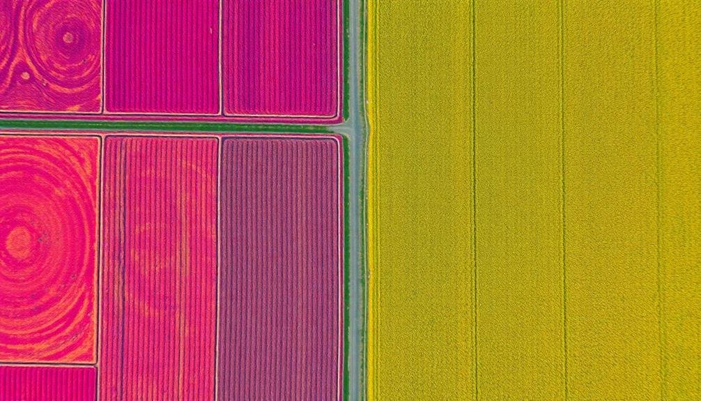
Analyze multispectral imagery to gain valuable insights into your crop's health and productivity.
You'll be able to assess overall crop health, detect nutrient deficiencies, and create vegetation index maps that highlight problem areas.
These advanced imaging techniques allow you to pinpoint issues early, enabling targeted interventions that can markedly improve your crop yield.
Crop Health Assessment
Multispectral imagery analysis is a powerful tool for evaluating crop health. By examining different wavelengths of light reflected from your crops, you'll gain valuable insights into their overall condition. Focus on key vegetation indices like NDVI (Normalized Difference Vegetation Index) to assess chlorophyll content and photosynthetic activity.
When interpreting multispectral data, look for patterns and anomalies in crop health across your fields. Areas with lower NDVI values may indicate stress, nutrient deficiencies, or pest infestations. You'll want to investigate these zones further to determine the cause and take appropriate action.
Don't overlook temporal analysis. Compare multispectral images over time to track crop development and identify emerging issues early. This approach allows you to make timely interventions and optimize your crop management strategies.
Consider integrating other data sources, such as soil moisture sensors or weather information, to enhance your crop health assessment. By combining multiple data points, you'll develop a more thorough understanding of your crops' needs and potential yield.
Remember to ground-truth your multispectral analysis with field observations. This validation process guarantees the accuracy of your drone-based assessments and helps refine your interpretation skills over time.
Nutrient Deficiency Detection
Detecting nutrient deficiencies is a critical application of drone-based multispectral imagery. You'll need to analyze different spectral bands to identify specific nutrient issues in your crops. Focus on the near-infrared (NIR) and red-edge bands, which are particularly sensitive to plant health and nutrient status.
To detect nitrogen deficiency, look for areas with lower NIR reflectance and higher visible light reflectance. This indicates reduced chlorophyll content and overall plant vigor.
For phosphorus deficiency, pay attention to areas showing purplish or reddish hues in the visible spectrum, often visible in young leaves or stems.
Potassium deficiency can be trickier to spot, but it often manifests as chlorosis (yellowing) along leaf margins. Use the red-edge band to detect subtle changes in chlorophyll content that might indicate early stages of potassium stress.
Remember to calibrate your multispectral data with ground-truth measurements for accurate results. Collect soil samples and perform tissue analysis in areas of concern to confirm your drone-based observations.
Vegetation Index Mapping
Vegetation index mapping takes nutrient deficiency detection to the next level. By analyzing multispectral imagery captured by your drone, you'll gain deeper insights into your crops' health and vigor. This technique uses different spectral bands to calculate vegetation indices, providing a more thorough view of your fields.
The most common index is the Normalized Difference Vegetation Index (NDVI), which measures plant health based on how they reflect near-infrared and red light. You'll also find other useful indices like the Green Normalized Difference Vegetation Index (GNDVI) for chlorophyll content and the Normalized Difference Red Edge (NDRE) for nitrogen levels.
To implement vegetation index mapping, you'll need a drone equipped with a multispectral camera. Fly your drone over your fields at regular intervals, ensuring consistent altitude and overlap between images.
Once you've collected the data, use specialized software to process and analyze it. The resulting maps will highlight areas of stress, variations in growth, and potential issues before they're visible to the naked eye.
You can use this information to make targeted decisions about irrigation, fertilization, and pest management, ultimately improving your crop yield and resource efficiency.
Monitor Crop Health Indicators

An essential aspect of using drone data for crop yield analysis is monitoring crop health indicators. These indicators provide valuable insights into your crops' overall condition and potential yield. By regularly collecting and analyzing drone imagery, you'll be able to detect early signs of stress, disease, or nutrient deficiencies.
Focus on key health indicators such as leaf color, canopy density, and plant height. Drones equipped with multispectral sensors can capture data across various light spectrums, revealing issues invisible to the naked eye. Pay close attention to changes in chlorophyll content, which can indicate nutrient imbalances or pest infestations.
Use thermal imaging to identify areas of water stress or irrigation issues. This data can help you optimize water usage and prevent crop loss due to drought or overwatering.
Additionally, monitor plant growth rates by comparing images over time. Slow or uneven growth may signal underlying problems that require immediate attention.
Integrate With Farm Management Software
Once you've collected valuable drone data, integrating it with your farm management software is vital for maximizing its benefits. Choose a compatible software solution that can seamlessly import and process drone imagery and data. Look for platforms that offer features like automated field boundary detection, crop health analysis, and yield prediction based on drone inputs.
Confirm your chosen software can overlay drone data with other critical information like soil maps, weather data, and historical yield records. This integration allows for more thorough insights and informed decision-making. Set up automated data syncing between your drone and the management software to streamline the process and save time.
Take advantage of the software's reporting and visualization tools to generate easy-to-understand maps and charts. These visuals can help you quickly identify problem areas, track crop progress, and plan interventions. Use the integrated data to create variable-rate prescription maps for precise application of inputs like fertilizers and pesticides.
Don't forget to regularly update both your drone's firmware and farm management software to guarantee compatibility and access to the latest features.
Act on Real-Time Data Insights
With your drone data seamlessly integrated into your farm management system, it's time to leverage those real-time insights. Use the information to make quick, informed decisions about your crops. When you spot signs of pest infestations or disease outbreaks, act immediately to prevent widespread damage. Apply targeted treatments to affected areas, saving time and resources.
Monitor crop health indicators and adjust irrigation schedules accordingly. If you notice water stress in certain fields, increase irrigation in those specific zones. Conversely, reduce watering in areas that show signs of oversaturation. Use soil moisture data to optimize fertilizer application, ensuring nutrients reach the roots when they're most needed.
Track plant growth stages and tailor your management practices to each crop's current needs. Adjust planting dates for future seasons based on historical performance data. Identify high-performing areas of your fields and replicate successful strategies across your farm.
Frequently Asked Questions
How Often Should I Fly My Drone to Monitor Crop Health Effectively?
You should fly your drone weekly during critical growth stages for effective crop health monitoring. However, adjust frequency based on weather conditions, crop type, and specific issues. Don't overfly, as it can stress plants and waste resources.
Can Drones Detect Specific Pest Infestations in Crops?
Yes, drones can detect specific pest infestations in crops. They'll capture high-resolution images and use multispectral sensors to identify pest damage patterns. You'll spot signs of infestation early, allowing for targeted treatment and reduced crop losses.
What Weather Conditions Are Optimal for Drone Data Collection?
You'll want calm, clear days for ideal drone data collection. Avoid high winds, rain, or fog. Early morning or late afternoon light is best. Aim for consistent conditions when comparing data over time.
How Much Training Is Required to Operate Agricultural Drones Effectively?
You'll need several weeks of training to operate agricultural drones effectively. It's essential to learn flight controls, data collection techniques, and safety protocols. Don't forget to practice regularly and stay updated on regulations and technology advancements.
Are There Legal Restrictions on Using Drones for Agricultural Purposes?
Yes, there are legal restrictions on using drones for agriculture. You'll need to comply with FAA regulations, including registering your drone, obtaining proper certifications, and following flight rules. Don't forget to check local and state laws too.
In Summary
You've now got the tools to revolutionize your farming with drone technology. By following these seven tips, you'll maximize your crop yield and streamline your operations. Remember, it's not just about collecting data; it's about using it effectively. Stay up-to-date with the latest drone innovations and data analysis techniques. With practice, you'll become an expert at leveraging aerial insights to make informed decisions and boost your farm's productivity. Keep flying, keep learning, and watch your yields soar.
As educators and advocates for responsible drone use, we’re committed to sharing our knowledge and expertise with aspiring aerial photographers.


Leave a Reply