
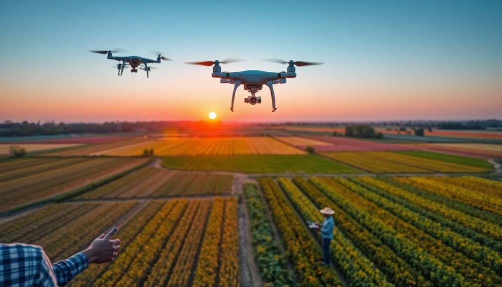
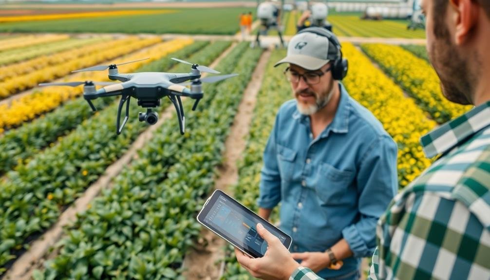
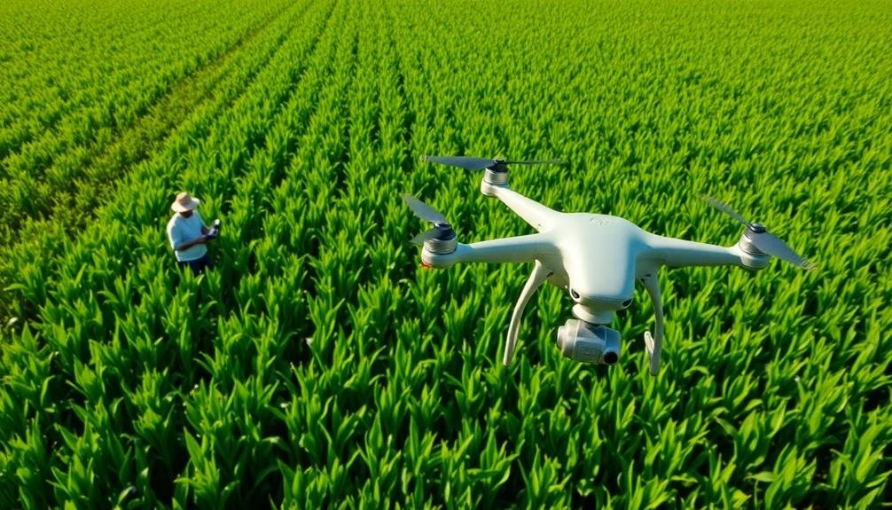
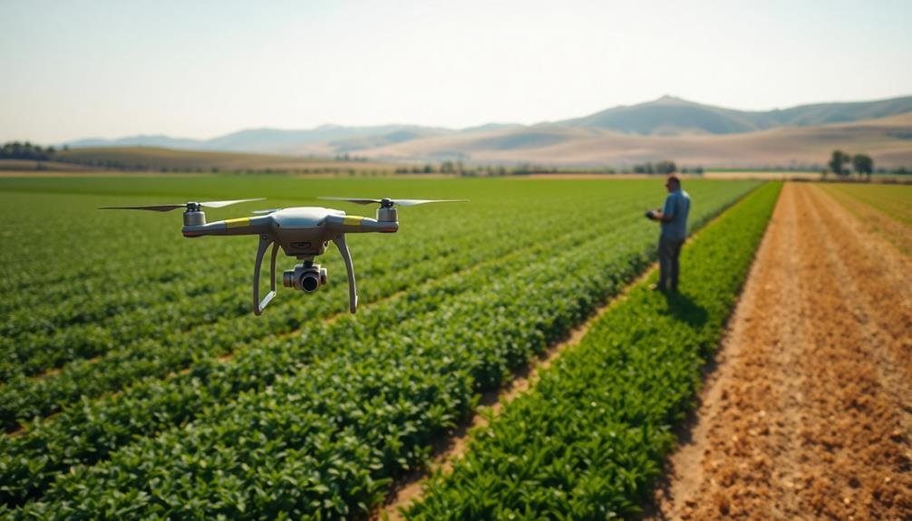
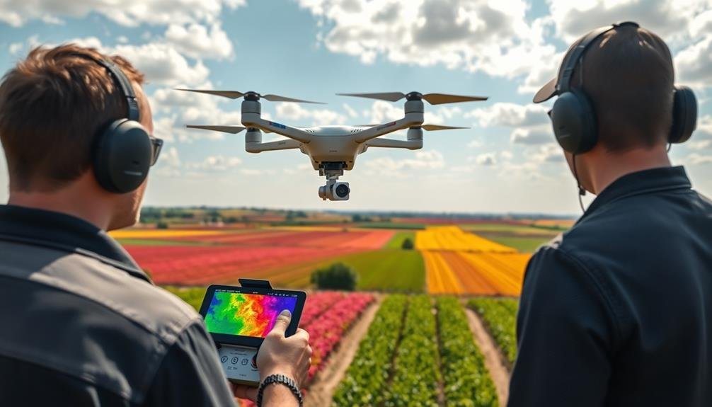
Agricultural UAV pilot courses for crop monitoring equip you with essential skills to revolutionize farming practices and boost crop yields through advanced aerial technology. Top programs like the Precision Agriculture Drone Academy and Crop Scouting UAV Masterclass offer thorough training in flight planning, data collection, and analysis techniques. You'll learn crop health assessment, multispectral imaging, and vegetation index mapping. These courses emphasize hands-on experience with various drone models and teach you to create accurate maps for informed decision-making. With certifications from programs like the AgriDrone Pilot Certification, you'll enhance your employability in the agricultural sector. Discover how these courses can propel your career in precision agriculture.
Precision Agriculture Drone Academy
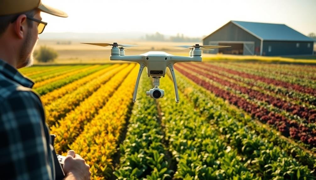
Immerse yourself in the world of agricultural drones with Precision Agriculture Drone Academy. This all-encompassing course offers hands-on training tailored specifically for aspiring agricultural UAV pilots.
You'll learn to operate cutting-edge drone technology for crop monitoring, pest detection, and yield optimization. The academy's curriculum covers essential topics like flight planning, data collection, and image analysis.
You'll master industry-standard software for creating orthomosaic maps and 3D models of farmland. The course also explores regulatory compliance, ensuring you're well-versed in FAA regulations and best practices for agricultural drone operations.
What sets this academy apart is its focus on real-world applications. You'll work with actual farmers to solve pressing agricultural challenges using drone technology. The instructors are experienced professionals who bring practical insights to the classroom.
Upon completion, you'll receive a certification recognized by leading agricultural companies. This credential can greatly enhance your employability in the rapidly growing precision agriculture sector.
The academy also offers ongoing support and networking opportunities, connecting you with potential employers and fellow professionals in the field.
Crop Scouting UAV Masterclass
In the Crop Scouting UAV Masterclass, you'll learn cutting-edge precision scouting techniques to maximize your agricultural drone's potential.
You'll master the art of identifying plant stress, pest infestations, and nutrient deficiencies from aerial imagery.
The course also covers essential data analysis fundamentals, equipping you with the skills to interpret drone-collected data and make informed decisions for crop management.
Precision Scouting Techniques
For aspiring agricultural UAV pilots, mastering precision scouting techniques is essential. In this course, you'll learn how to efficiently collect and analyze data to improve crop management decisions. You'll discover how to plan ideal flight paths, capture high-quality imagery, and interpret the results accurately.
The course covers advanced techniques for identifying plant stress, pest infestations, and nutrient deficiencies using multispectral and thermal imaging. You'll practice creating detailed prescription maps for variable rate applications, helping farmers enhance resource use and increase yields.
Key skills you'll develop include:
- Calibrating sensors for different environmental conditions
- Implementing grid and zone sampling strategies
- Integrating UAV data with other precision agriculture tools
You'll also learn to use specialized software for image processing and data analysis, enabling you to generate actionable insights from your aerial surveys.
The course emphasizes practical, hands-on training, allowing you to apply your newfound knowledge in real-world scenarios.
Data Analysis Fundamentals
The backbone of effective crop scouting lies in robust data analysis. In the Crop Scouting UAV Masterclass, you'll learn to interpret the wealth of data collected during your flights. You'll explore various types of imagery, including RGB, multispectral, and thermal, understanding how each contributes to crop health assessment.
You'll master the use of specialized software to process and analyze your data, turning raw imagery into actionable insights. The course covers vegetation indices like NDVI and NDRE, teaching you how to calculate and interpret these vital metrics.
You'll also learn to identify patterns and anomalies in your data, spotting early signs of pest infestations, nutrient deficiencies, or irrigation issues. The masterclass emphasizes practical skills in data visualization and reporting.
You'll create clear, informative maps and reports that communicate your findings effectively to farmers and agronomists. You'll also explore advanced topics like machine learning algorithms for automated crop analysis and predictive modeling for yield estimation.
AgriDrone Pilot Certification Program
AgriDrone's Pilot Certification Program stands out as one of the most thorough courses for aspiring agricultural UAV pilots. This extensive program covers all aspects of agricultural drone operation, from flight mechanics to crop analysis. You'll gain hands-on experience with various drone models and learn to navigate complex agricultural environments.
The course is structured into modules, each focusing on a specific skill set:
- Flight operations and safety protocols
- Crop monitoring techniques and data collection
- Image processing and analysis for agricultural applications
You'll also learn about regulatory compliance and best practices for operating drones in agricultural settings. The program includes both theoretical and practical components, ensuring you're well-prepared for real-world scenarios.
Upon completion, you'll receive a recognized certification that demonstrates your expertise in agricultural drone piloting.
What sets AgriDrone's program apart is its emphasis on practical application. You'll work on actual farm sites, learning to identify crop stress, pest infestations, and irrigation issues using drone technology.
This real-world experience is invaluable for your future career in precision agriculture.
Aerial Crop Monitoring Intensive
Frequently touted as one of the most specialized UAV courses available, Aerial Crop Monitoring Intensive focuses exclusively on advanced techniques for agricultural surveillance.
You'll dive deep into the intricacies of using drones for precise crop analysis, learning to identify pest infestations, nutrient deficiencies, and water stress from aerial imagery.
The course covers multispectral and thermal imaging technologies, teaching you how to interpret complex data for actionable insights.
You'll master flight planning for efficient field coverage and learn to use specialized software for creating prescription maps.
The curriculum includes hands-on training with industry-standard sensors and cameras, ensuring you're prepared for real-world scenarios.
You'll also explore the latest in AI and machine learning applications for automated crop health assessment.
The course emphasizes data management and analysis, equipping you with skills to process and present findings to farmers effectively.
By the end, you'll be proficient in creating detailed crop health reports and recommending targeted interventions.
This intensive program is ideal if you're looking to specialize in agricultural drone operations and want to offer high-value services to farmers and agronomists.
Farm Drone Operations Course
You'll learn essential flight planning fundamentals in an extensive Farm Drone Operations Course.
You'll master the art of creating efficient flight paths and determining ideal altitudes for various agricultural tasks.
The course will also equip you with advanced crop assessment techniques, enabling you to interpret aerial imagery and identify potential issues in your fields.
Flight Planning Fundamentals
The cornerstone of successful agricultural drone operations lies in mastering flight planning fundamentals. You'll learn to assess weather conditions, terrain, and flight obstacles to guarantee safe and efficient missions. Understanding airspace regulations and obtaining necessary permissions are vital steps in your pre-flight checklist.
Flight planning software will become your best friend. You'll discover how to create precise flight paths, set ideal altitudes, and determine the best image overlap for accurate data collection. These tools help you maximize battery life and coverage area while maintaining image quality.
Key aspects of flight planning include:
- Defining mission objectives (e.g., crop health assessment, yield estimation)
- Selecting appropriate sensors and payloads for your specific task
- Establishing emergency procedures and landing zones
You'll also learn to integrate your flight plans with farm management systems, allowing for seamless data flow between your drone operations and other agricultural activities.
This integration enables you to make data-driven decisions more efficiently, improving overall farm productivity.
Crop Assessment Techniques
With your flight planning skills honed, it's time to focus on the core of agricultural drone operations: crop assessment techniques.
You'll learn to interpret aerial imagery to identify crop health issues, pest infestations, and nutrient deficiencies. The course will cover multispectral and thermal imaging, teaching you how to use specialized cameras to capture data beyond the visible spectrum.
You'll master the use of vegetation indices like NDVI (Normalized Difference Vegetation Index) to quantify crop vigor and stress levels. The training will also include practical exercises in creating prescription maps for variable rate applications of fertilizers and pesticides.
You'll explore advanced techniques such as plant counting, crop height measurement, and yield estimation using drone-gathered data.
The course will introduce you to machine learning algorithms that can automate the detection of crop diseases and weed patches.
Additionally, you'll learn how to integrate drone-collected data with other precision agriculture tools, such as soil sensors and weather stations.
This thorough approach will enable you to provide farmers with actionable insights, helping them make data-driven decisions to optimize crop management and increase yields.
Agricultural Remote Sensing Training
At the heart of effective agricultural drone operations lies a solid foundation in remote sensing techniques. You'll need to understand how to capture, process, and interpret data from various sensors to make informed decisions about crop health and management.
Agricultural remote sensing training courses typically cover a range of topics, including spectral analysis, vegetation indices, and thermal imaging.
When choosing a remote sensing course, look for programs that offer:
- Hands-on experience with industry-standard software like Pix4D or Agisoft
- Training on multiple sensor types, including multispectral and hyperspectral cameras
- Integration of remote sensing data with GIS and precision agriculture systems
You'll want to focus on courses that specifically address agricultural applications, as these will be most relevant to your work as a UAV pilot in crop monitoring.
Many universities and agricultural extension programs offer specialized remote sensing courses for agriculture. Additionally, some drone manufacturers and software companies provide training programs tailored to their products.
UAV Crop Health Assessment
You'll learn essential UAV crop health assessment techniques in these courses.
They'll cover vegetation index mapping methods to visualize plant vigor and stress levels.
You'll also explore thermal imaging applications for detecting water stress and study multispectral data interpretation for identifying nutrient deficiencies and pest infestations.
Vegetation Index Mapping Techniques
Beneath the canopy of modern agriculture lies a powerful tool for crop health assessment: vegetation index mapping. This technique allows you to analyze the health and vigor of your crops using specialized sensors on your UAV. By capturing multispectral images, you'll be able to create detailed maps that reveal vital information about plant health, stress levels, and nutrient deficiencies.
To master vegetation index mapping, you'll need to understand various indices and their applications:
- NDVI (Normalized Difference Vegetation Index): Measures overall plant health and biomass
- NDRE (Normalized Difference Red Edge): Detects subtle changes in chlorophyll content
- SAVI (Soil Adjusted Vegetation Index): Minimizes soil brightness influence in areas with sparse vegetation
When interpreting these maps, look for patterns and anomalies that indicate potential issues. Red or yellow areas often suggest stressed or unhealthy plants, while green areas typically represent healthy vegetation.
You'll also want to compare index values across different growth stages and seasons to track changes over time. By mastering vegetation index mapping techniques, you'll be able to make data-driven decisions about irrigation, fertilization, and pest management, ultimately improving your crop yields and reducing resource waste.
Thermal Imaging Applications
Thermal imaging technology offers a powerful lens into crop health assessment for UAV pilots.
You'll learn to use infrared sensors to detect temperature variations in crops, revealing essential information about plant stress, water status, and overall health. This non-invasive method allows you to identify issues before they're visible to the naked eye.
In your course, you'll discover how to interpret thermal images to detect water stress, as cooler plants often indicate proper irrigation while warmer areas may signal drought conditions.
You'll also learn to spot disease outbreaks, pest infestations, and nutrient deficiencies by analyzing temperature patterns across fields.
You'll master techniques for conducting thermal surveys at different times of day, as early morning flights can reveal irrigation issues, while midday imaging highlights overall plant stress.
You'll gain skills in calibrating thermal cameras, adjusting for environmental factors, and using specialized software to process and analyze thermal data.
Multispectral Data Interpretation
Multispectral imaging takes crop health assessment to the next level. As an agricultural UAV pilot, you'll need to master the interpretation of multispectral data to provide valuable insights to farmers. This technology allows you to capture images across multiple light spectrums, revealing information about crop health that's invisible to the naked eye.
To effectively interpret multispectral data, you'll learn to analyze various vegetation indices, such as NDVI (Normalized Difference Vegetation Index) and NDRE (Normalized Difference Red Edge). These indices help you identify:
- Areas of stress or disease in crops
- Nutrient deficiencies
- Water stress and irrigation needs
You'll also discover how to create prescription maps for targeted interventions, enabling farmers to optimize resource use and increase yields. Understanding the relationship between spectral reflectance and plant physiology is essential for accurate interpretation.
In your UAV pilot course, you'll practice using specialized software to process and analyze multispectral imagery. You'll learn to recognize patterns, interpret color-coded maps, and generate actionable reports for farmers.
With these skills, you'll be able to provide valuable recommendations for precision agriculture, helping farmers make data-driven decisions to improve crop management and productivity.
Drone Mapping for Farmers
In the domain of precision agriculture, drone mapping has emerged as a game-changing tool for farmers. You'll learn how to create accurate, high-resolution maps of your fields using UAVs equipped with specialized cameras and sensors. These maps provide valuable insights into crop health, soil conditions, and irrigation needs.
You'll master techniques for planning efficient flight paths, capturing aerial imagery, and processing the collected data. The course will teach you to use photogrammetry software to stitch together individual images into thorough orthomosaic maps and 3D models of your farmland.
You'll discover how to interpret these maps to identify problem areas, such as pest infestations, nutrient deficiencies, or drainage issues. With this knowledge, you can make data-driven decisions to optimize crop yields and reduce resource waste.
The training will also cover advanced mapping applications, including plant counting, crop height measurement, and yield estimation. You'll learn to integrate drone-generated maps with other precision agriculture tools, such as variable-rate application systems, to create a thorough farm management strategy.
Multispectral Imaging Pilot Workshop
This workshop explores the cutting-edge world of multispectral imaging for agricultural drones. You'll learn how to capture and analyze data across multiple spectral bands, revealing vital information about crop health, stress, and nutrient levels.
The course covers sensor types, calibration techniques, and data interpretation methods essential for precision agriculture.
You'll gain hands-on experience with:
- Multispectral camera setup and operation
- Flight planning for ideal image acquisition
- Post-processing and analysis of multispectral data
Throughout the workshop, you'll practice using industry-standard software to create vegetation indices like NDVI, NDRE, and GNDVI. These tools will help you identify areas of crop stress, pest infestations, and irrigation issues before they're visible to the naked eye.
The course also investigates practical applications, showing you how to use multispectral data to guide fertilizer application, enhance irrigation schedules, and detect early signs of disease.
You'll learn to create prescription maps for variable rate applications, potentially reducing input costs and improving crop yields.
Advanced Agricultural Drone Applications
Advanced Agricultural Drone Applications often push the boundaries of what's possible in precision farming. You'll learn to use drones for tasks beyond basic crop monitoring, diving into sophisticated data analysis and automated decision-making processes.
These courses teach you to integrate UAV technology with other smart farming systems, creating a more thorough approach to agricultural management. You'll master techniques for real-time crop health assessment, using thermal and hyperspectral imaging to detect early signs of disease or pest infestations.
You'll also explore advanced spraying techniques, learning to apply precise amounts of fertilizers or pesticides using drone technology. This includes understanding variable rate application methods and creating prescription maps for targeted treatments.
Additionally, you'll discover how to use drones for livestock monitoring, irrigation management, and even pollination assistance. The courses often cover emerging technologies like AI-powered image recognition for plant counting and yield estimation.
You'll gain hands-on experience with cutting-edge software platforms that process and analyze drone-collected data, turning raw information into actionable insights for farmers. By the end, you'll be equipped to implement these advanced applications in various agricultural settings.
Frequently Asked Questions
How Long Does It Take to Become Proficient in Agricultural Drone Piloting?
You'll typically need 3-6 months to become proficient in agricultural drone piloting. It depends on your learning pace, practice frequency, and previous experience. You'll master flight controls, data collection, and crop analysis during this time.
What Are the Legal Requirements for Using Drones in Agriculture?
You'll need to register your drone with the FAA and obtain a Part 107 remote pilot certificate. You must follow airspace regulations, maintain visual line-of-sight, and respect privacy laws when operating over farmland.
Can Agricultural Drones Be Used for Tasks Other Than Crop Monitoring?
Yes, you can use agricultural drones for more than just crop monitoring. They're great for precision spraying, planting seeds, soil analysis, livestock management, and irrigation mapping. You'll find they're versatile tools for various farm tasks.
How Much Does a Typical Agricultural Drone Setup Cost?
You'll find that agricultural drone setups can vary widely in price. A basic system might cost you around $2,000, while more advanced setups with specialized sensors and software can run upwards of $25,000 or more.
Are There Any Health Risks Associated With Operating Drones Over Croplands?
You're generally safe when operating drones over croplands. However, you'll want to be aware of potential risks like inhaling pesticide residue or exposure to sun and heat. Always follow safety guidelines and wear protective gear.
In Summary
You've now explored ten exceptional agricultural UAV pilot courses for crop monitoring. These programs will equip you with the skills to revolutionize your farming practices. Whether you're a beginner or looking to advance your expertise, there's a course tailored for you. Don't hesitate to invest in your future as a precision agriculture professional. With these skills, you'll boost crop yields, reduce costs, and make data-driven decisions. Take flight and transform your farm today!
As educators and advocates for responsible drone use, we’re committed to sharing our knowledge and expertise with aspiring aerial photographers.


Leave a Reply