Drones have transformed mountain rescue operations with five highly effective methods. You'll find thermal imaging vital for night searches, detecting heat signatures of lost hikers. Aerial mapping creates detailed 3D terrain models, identifying safe routes for rescuers. Communication relay drones extend radio signals in remote areas, ensuring constant contact. For immediate aid, payload delivery drones transport essential supplies to stranded individuals. AI-powered object detection systems enhance search accuracy, recognizing human shapes and movement patterns. These drone techniques work together to streamline rescues, reduce risks, and save lives in challenging mountain environments. Exploring each method reveals how they're revolutionizing mountain rescue efforts.
Thermal Imaging for Night Searches

In spite of the challenges posed by darkness, thermal imaging technology has revolutionized night search and rescue operations in mountainous terrain. You'll find that drones equipped with thermal cameras can detect heat signatures of lost hikers or stranded climbers, even in complete darkness or through dense foliage.
When you're conducting a night search, thermal imaging drones can cover large areas quickly and efficiently. They'll pick up on body heat from humans and animals, allowing you to distinguish between potential survivors and wildlife. You can also use these drones to identify campfires or other heat sources that might indicate a survivor's location.
You'll need to take into account a few factors when using thermal imaging drones. Altitude affects the camera's resolution, so you'll want to fly at an ideal height for clear images.
Weather conditions like fog or rain can interfere with thermal readings, so you'll need to adjust your search strategy accordingly. It's also essential to have trained operators who can interpret the thermal data accurately.
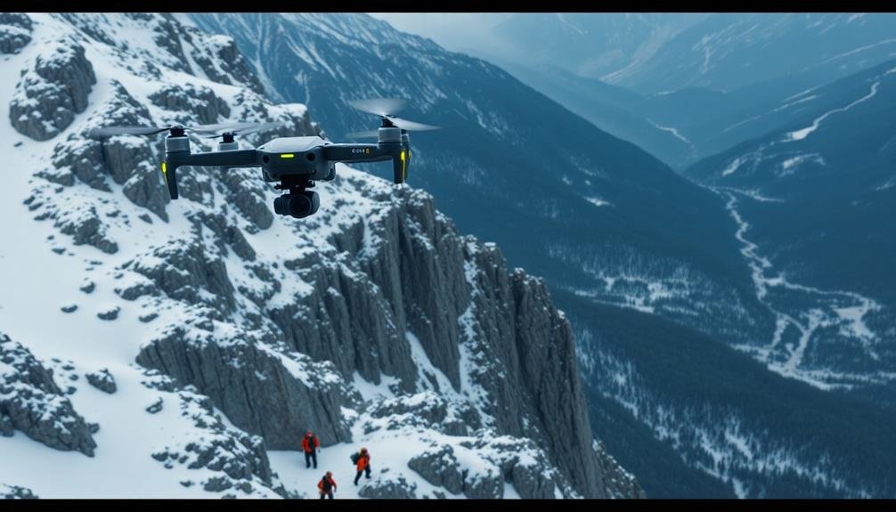
Aerial Mapping of Treacherous Terrain
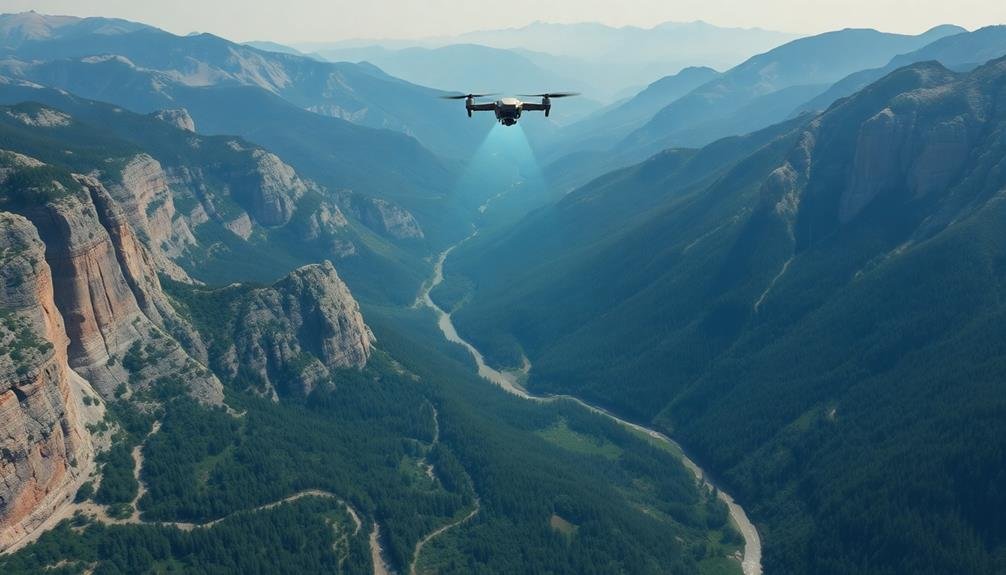
Along with thermal imaging, aerial mapping of treacherous terrain plays an indispensable role in mountain rescues. You'll find that drones equipped with high-resolution cameras and LiDAR sensors can quickly survey large areas, creating detailed 3D maps of the landscape. These maps provide rescue teams with vital information about the terrain they're traversing, including potential hazards, safe routes, and the location of the person in need of rescue.
When you're planning a mountain rescue operation, aerial mapping offers several advantages:
- It reduces the risk to rescue personnel by identifying dangerous areas before they enter the field.
- It saves precious time by pinpointing the most efficient routes to reach the stranded individual.
- It enhances situational awareness, allowing teams to anticipate challenges and adapt their strategies accordingly.
- It provides an all-encompassing view of the area, ensuring no potential search locations are overlooked.
You can use the data collected by drones to create real-time maps that update as conditions change. This dynamic approach to mapping allows you to make informed decisions throughout the rescue operation, ultimately increasing the chances of a successful outcome.
Communication Relay in Remote Areas
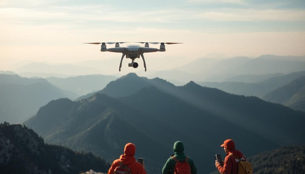
Communication challenges often hamper rescue efforts in remote mountainous areas. Drones can play an essential role in overcoming these obstacles by serving as airborne communication relays. You'll find that these unmanned aerial vehicles can extend the range of radio signals, permitting rescue teams to maintain contact with base camps and each other in areas where traditional communication methods fail.
When you're planning a mountain rescue operation, consider using drones equipped with repeater systems. These devices can receive weak signals from ground teams and rebroadcast them at higher power, effectively bridging communication gaps across valleys and ridges.
You'll also benefit from drones that can deploy temporary cellular networks, providing internet connectivity in areas without coverage.
For longer missions, you should utilize drones with extended flight times and the ability to autonomously return to base for battery swaps. This guarantees continuous communication support throughout the rescue operation.
Additionally, you can equip drones with satellite uplinks, allowing for real-time data transmission to command centers far from the rescue site. By implementing these drone-based communication relay methods, you'll greatly enhance coordination and safety during mountain rescue missions.
Payload Delivery for Survival Supplies
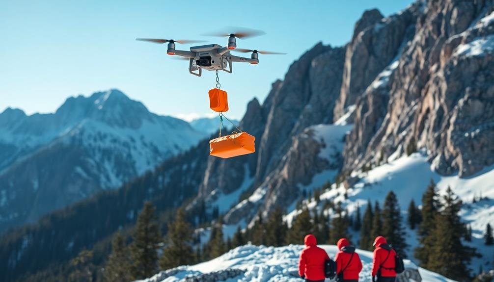
Drones aren't just for relaying messages; they're also indispensable for delivering crucial supplies to stranded individuals. In mountain rescue operations, you can use drones to transport essential items quickly and efficiently to those in need.
These unmanned aerial vehicles can carry various payloads, including food, water, medical supplies, and survival gear.
When deploying drones for payload delivery, you'll need to take into account factors such as weight capacity, flight range, and weather conditions. Most rescue drones can carry payloads between 1-5 kg, which is sufficient for basic survival supplies.
You'll want to prioritize items that provide the most immediate aid to those stranded.
Here's a list of emotions you might experience when using drones for mountain rescues:
- Relief: Knowing help is on the way
- Hope: Seeing the drone approach with crucial supplies
- Gratitude: Receiving life-saving resources
- Determination: Gaining strength to persevere until rescue arrives
AI-Powered Object Detection Systems

In addition to payload delivery, modern drones are equipped with sophisticated AI-powered object detection systems. These systems use machine learning algorithms to scan and analyze aerial footage in real-time, markedly enhancing search and rescue operations in mountainous terrain.
You'll find that these AI systems can detect and identify human shapes, clothing colors, and movement patterns, even in challenging conditions like dense foliage or snow-covered landscapes. They're capable of distinguishing between humans and wildlife, reducing false positives and saving valuable time during critical searches.
Some advanced drones utilize thermal imaging cameras alongside AI object detection, allowing you to locate heat signatures of lost hikers or climbers, even in low-light conditions or at night. This technology can be particularly useful when searching for individuals who may be unconscious or immobile.
AI-powered drones can also map and remember areas they've already searched, ensuring efficient coverage of large search zones.
You'll appreciate how these systems can quickly process and relay information to ground teams, providing precise GPS coordinates of potential rescue targets and helping guide rescuers to the exact location of those in need.
Frequently Asked Questions
How Long Can Rescue Drones Operate in Cold Mountain Environments?
You'll find that rescue drones can typically operate for 20-30 minutes in cold mountain environments. Battery life decreases in low temperatures, but some models use insulated batteries or heating systems to extend flight time in harsh conditions.
What Training Do Drone Operators Need for Mountain Rescue Missions?
You'll need specialized training in mountain environments, drone piloting skills, and search techniques. You should also learn about weather patterns, thermal imaging, and emergency protocols. It's essential you practice flying in challenging conditions and high altitudes.
Are There Legal Restrictions on Using Drones in National Parks?
Yes, you'll face legal restrictions when using drones in national parks. Generally, you're not allowed to fly drones without special permission. You'll need to obtain a permit and follow specific guidelines set by park authorities.
How Do High Altitudes Affect Drone Performance and Battery Life?
You'll notice reduced drone performance at high altitudes. Thinner air affects lift and control, while cold temperatures drain batteries faster. You'll need to adjust flight patterns, increase power, and carry extra batteries for peak performance.
Can Drones Be Used to Transport Injured Individuals in Mountain Rescues?
You'll find that drones aren't typically used to transport injured individuals in mountain rescues. They're too small for this purpose. However, they're excellent for locating victims, evaluating situations, and delivering essential supplies like food or medicine.
In Summary
You've seen how drones can revolutionize mountain rescues. They're not just tools; they're lifesavers. From thermal imaging to aerial mapping, they'll help you find and reach victims faster. You'll use them to relay messages and deliver essential supplies. With AI-powered detection, you'll spot people in distress more easily. Remember, these methods work best when combined. Embrace drone technology in your rescue operations, and you'll save more lives in challenging mountain environments.
As educators and advocates for responsible drone use, we’re committed to sharing our knowledge and expertise with aspiring aerial photographers.


Leave a Reply