Revolutionize your search operations with these five instant video analysis tips. First, implement automated object detection to quickly identify targets in challenging conditions. Second, integrate multi-sensor data for thorough area analysis. Third, utilize AI-powered pattern recognition to spot anomalies and filter out false positives. Fourth, employ real-time thermal imaging analysis to locate missing persons or evidence through heat signatures. Finally, use geo-tagging and mapping to create detailed, contextual maps of your search area. By adopting these cutting-edge techniques, you'll dramatically improve your search efficiency and effectiveness. Dive deeper to reveal the full potential of these game-changing strategies.
Automated Object Detection
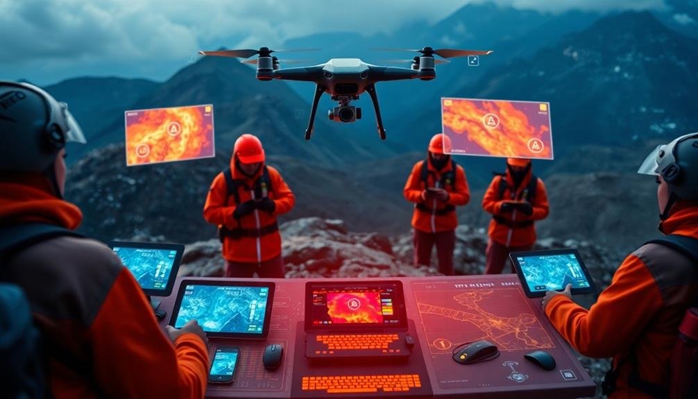
Harnessing the power of artificial intelligence, automated object detection revolutionizes search operations. This technology allows you to quickly identify and locate specific objects, people, or vehicles within vast amounts of video footage. By using deep learning algorithms and neural networks, the system can analyze visual data in real-time, considerably reducing the time and manpower required for manual searching.
You'll find that automated object detection excels at recognizing patterns and features across multiple frames, even in challenging conditions like low light or partially obscured views. It can detect and track multiple objects simultaneously, providing you with precise locations and movements throughout the video timeline.
To implement this technology effectively, you should:
- Define clear search parameters and object categories
- Use high-quality training datasets for improved accuracy
- Regularly update and refine the AI models
- Integrate the system with your existing video management software
- Guarantee proper hardware capabilities for real-time processing
Multi-Sensor Data Integration
While automated object detection is powerful on its own, multi-sensor data integration takes your search operations to the next level. By combining data from various sensors, you'll get a more thorough view of the search area and improve your chances of success.
Integrate data from thermal cameras, LiDAR, and radar systems with your video feed. This fusion allows you to detect objects and people in challenging conditions, such as low light or heavy foliage. You'll also benefit from increased accuracy in object classification and tracking.
Consider the following advantages of multi-sensor integration:
| Sensor Type | Advantages | Limitations | Best Use Case |
|---|---|---|---|
| Thermal | Heat detection | Limited detail | Night operations |
| LiDAR | 3D mapping | Weather sensitive | Terrain analysis |
| Radar | Long-range detection | Low resolution | Wide area search |
| Video | Visual identification | Light dependent | General surveillance |
To implement multi-sensor integration effectively, invest in a robust data fusion platform. This software will synchronize and analyze data from multiple sources in real-time, providing you with actionable insights. Train your team to interpret the integrated data and make informed decisions based on the combined sensor inputs.
AI-Powered Pattern Recognition
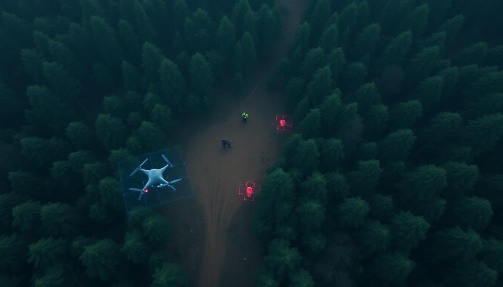
AI-powered pattern recognition takes your multi-sensor data integration to new heights. It analyzes vast amounts of visual, thermal, and radar data in real-time, identifying patterns and anomalies that human operators might miss.
You'll benefit from advanced algorithms that can detect subtle changes in terrain, vegetation, or human activity. These AI systems learn from historical search operation data, continuously improving their accuracy.
They can quickly identify potential search targets, such as missing persons or vehicles, by recognizing specific shapes, movements, or heat signatures. You'll receive instant alerts when the system detects matches to your search criteria.
AI pattern recognition also helps you filter out false positives and focus on the most promising leads. It can differentiate between natural and man-made objects, even in challenging environments like dense forests or urban areas.
You'll save valuable time and resources by prioritizing areas with the highest probability of success. To maximize effectiveness, train your AI system with region-specific data and regularly update it with new information.
Combine AI insights with human expertise for the best results in your search operations.
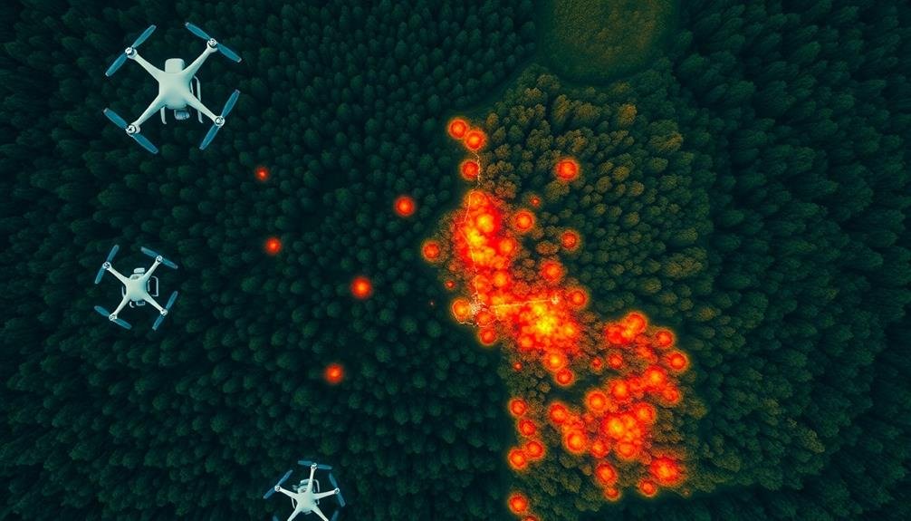
Real-Time Thermal Imaging Analysis
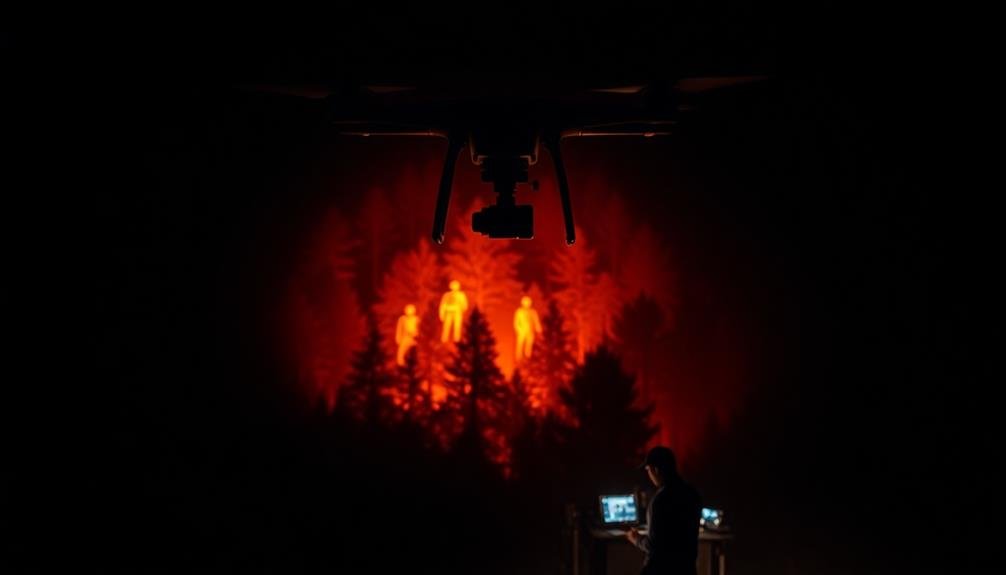
Precision is key in real-time thermal imaging analysis for search operations. You'll need to understand the nuances of thermal signatures to effectively interpret the data. Start by familiarizing yourself with the different heat patterns emitted by humans, animals, and various objects in the search environment.
Calibrate your thermal imaging equipment regularly to guarantee accurate readings. You'll want to adjust for ambient temperature and atmospheric conditions that can affect thermal detection.
Pay close attention to hotspots and anomalies in the thermal imagery, as these could indicate the presence of a missing person or valuable evidence.
When analyzing thermal data in real-time, focus on distinguishing between living beings and inanimate objects. Human thermal signatures typically appear as bright, symmetrical shapes.
Look for movement patterns that suggest purposeful motion rather than random environmental fluctuations.
Consider using AI-assisted thermal analysis tools to help process large amounts of data quickly. These can flag potential areas of interest for your review, saving valuable time during critical search operations.
Remember to cross-reference thermal imaging results with other search methods for a thorough approach to locating missing persons or evidence.
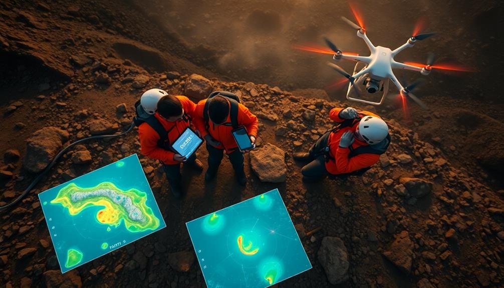
Geo-Tagging and Mapping
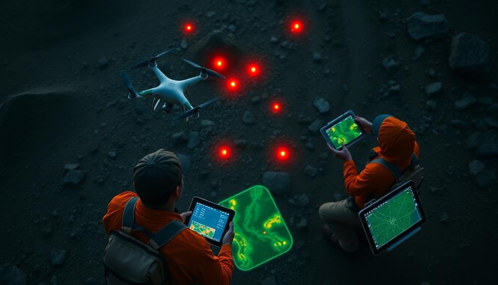
Geo-tagging and mapping capabilities dramatically enhance the effectiveness of video analysis in search operations. As you analyze video footage, you'll find that associating each frame with precise geographical coordinates provides invaluable context. This allows you to create a thorough map of the search area, pinpointing exact locations of interest or potential clues.
You can overlay video analysis results onto satellite imagery or topographic maps, giving you a bird's-eye view of the terrain. This integration helps you identify patterns, track movement, and plan search routes more efficiently. You'll be able to mark areas that have been thoroughly searched and those that require further investigation.
When you're dealing with multiple video sources, geo-tagging helps you synchronize and correlate data from different cameras or drones. This guarantees you don't miss any vital information and can cross-reference findings easily.
You'll also be able to share this mapped data with other search teams in real-time, improving coordination and reducing duplication of efforts.
Frequently Asked Questions
How Does Battery Life Impact Video Analysis Equipment During Extended Search Operations?
You'll find battery life essential for extended video analysis during searches. It limits your equipment's operational time. You'll need to plan for recharging or battery swaps to maintain continuous analysis capabilities throughout long operations.
What Are the Legal Considerations for Using Drones in Search Operations?
You'll need to take into account privacy laws, flight restrictions, and licensing requirements for drone operators. Obtain necessary permits, respect no-fly zones, and make certain you're not violating anyone's rights when using drones in search operations.
How Can Teams Effectively Train Personnel to Interpret Video Analysis Results?
You'll need to provide hands-on training sessions, use real-world scenarios, and offer regular practice exercises. Implement a mentorship program, conduct simulations, and use software tools to improve personnel's video analysis interpretation skills. Don't forget ongoing assessments and feedback.
What Are the Limitations of Instant Video Analysis in Adverse Weather Conditions?
You'll find instant video analysis struggles in adverse weather. Rain, snow, and fog can obscure visibility, reducing accuracy. Low light conditions may hinder detection, while strong winds can cause camera shake, affecting result quality.
How Can Search Teams Ensure Data Security When Using Cloud-Based Video Analysis Tools?
You'll need to prioritize data encryption, use secure authentication methods, and implement access controls. Choose reputable cloud providers with strong security measures, regularly update software, and train your team on best practices for data protection.
In Summary
You've now got powerful tools at your fingertips for instant video analysis in search operations. By leveraging automated object detection, multi-sensor integration, AI-powered pattern recognition, real-time thermal imaging, and geo-tagging, you'll dramatically boost your search efficiency. These cutting-edge techniques will help you quickly identify targets, track movements, and map critical areas. Don't hesitate to implement these technologies – they'll revolutionize your search capabilities and potentially save lives in time-sensitive situations.
As educators and advocates for responsible drone use, we’re committed to sharing our knowledge and expertise with aspiring aerial photographers.


Leave a Reply