
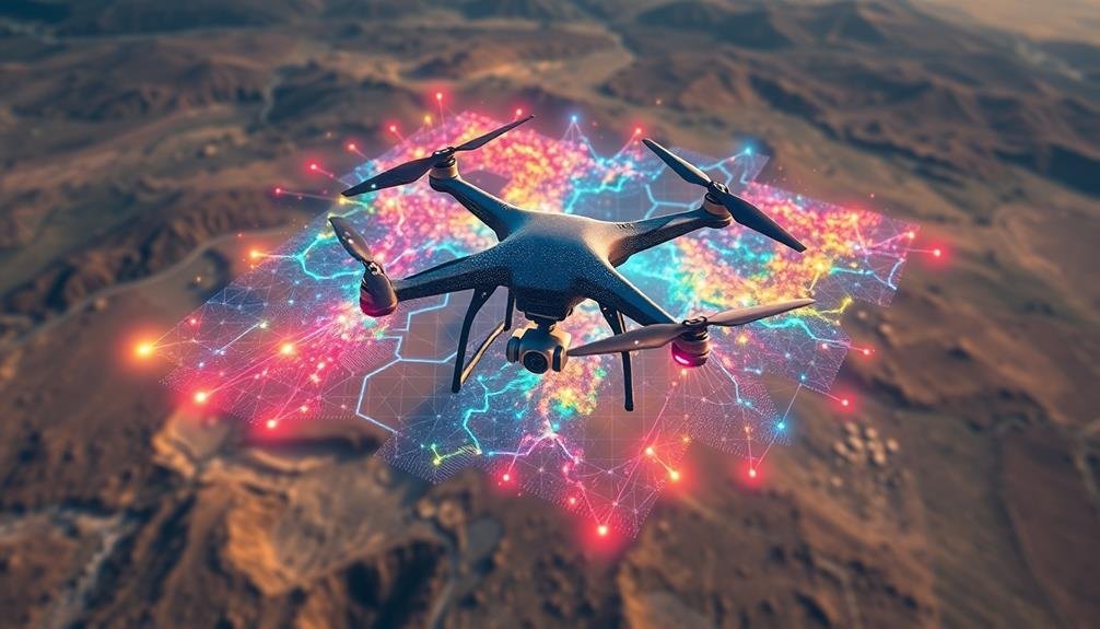
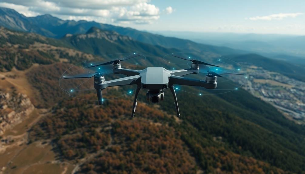
AI-powered drone search missions rely on a variety of sophisticated algorithms. You'll find object detection and image recognition at the core, using convolutional neural networks to identify targets in real-time. Path planning techniques like A* and RRT enable autonomous navigation, while swarm intelligence allows multiple drones to collaborate efficiently. Machine learning algorithms analyze terrain and predict likely locations, enhancing search accuracy. Natural language processing integrates text data, and reinforcement learning continuously improves drone behavior. Computer vision systems identify targets, even in challenging conditions. These AI technologies work together to create increasingly effective and adaptable search missions. Exploring each algorithm reveals the intricate AI ecosystem behind modern drone operations.
Object Detection Algorithms
Computer vision lies at the heart of object detection algorithms for drone search missions. These algorithms enable drones to identify and locate specific objects or people within their field of view.
You'll find that convolutional neural networks (CNNs) are the most common approach, as they excel at processing visual data. Popular CNN architectures for object detection include YOLO (You Only Look Once), SSD (Single Shot Detector), and Faster R-CNN.
YOLO divides images into a grid and predicts bounding boxes and class probabilities for each cell, offering real-time performance. SSD uses multiple feature maps at different scales to detect objects of various sizes, while Faster R-CNN employs a region proposal network for improved accuracy.
To enhance detection in challenging environments, you can implement techniques like data augmentation, transfer learning, and ensemble methods.
You'll also need to take into account factors such as image resolution, processing speed, and power consumption when deploying these algorithms on drones. Fine-tuning the models with domain-specific data and optimizing for edge computing are essential steps to guarantee effective performance during search missions.
Path Planning Techniques

Efficiency is key when it comes to path planning techniques for drone search missions. You'll want to employ algorithms that can quickly calculate ideal routes while adapting to dynamic environments.
Popular methods include A* search, rapidly-exploring random trees (RRT), and probabilistic roadmaps (PRM).
A* search is excellent for finding the shortest path between two points, considering obstacles and terrain. It's computationally efficient and works well in known environments.
For more complex scenarios, RRT algorithms can rapidly explore large spaces by randomly sampling points and connecting them to form a tree-like structure.
PRM algorithms are ideal for multi-drone missions, creating a roadmap of collision-free paths that multiple drones can follow. They're particularly useful in cluttered environments.
You might also consider potential field methods, which treat the drone as a particle influenced by attractive and repulsive forces from goals and obstacles.
For real-time path planning, you'll need to implement algorithms that can quickly recalculate routes as new information becomes available.
Adaptive A* and D* Lite are popular choices for this, allowing drones to efficiently navigate changing environments during search missions.
Image Recognition Systems
Image recognition systems are essential for effective drone search missions, relying heavily on Convolutional Neural Networks (CNNs) for processing visual data.
You'll find that object detection techniques, such as YOLO and R-CNN, play an important role in identifying and locating targets of interest during aerial surveys.
Deep learning applications have revolutionized these systems, enabling drones to recognize and classify objects with increasing accuracy and speed in real-time scenarios.
Convolutional Neural Networks
In recent years, Convolutional Neural Networks (CNNs) have revolutionized image recognition systems for drone search missions. These powerful deep learning algorithms excel at processing visual data, making them ideal for analyzing aerial imagery captured by drones.
CNNs work by applying multiple layers of filters to an image, each detecting increasingly complex features. This hierarchical approach allows them to identify objects, people, or specific patterns in drone footage with remarkable accuracy. You'll find CNNs particularly useful in search and rescue operations, where they can quickly scan large areas and highlight potential targets.
Here's a comparison of CNNs with traditional image processing methods:
| Feature | CNNs | Traditional Methods |
|---|---|---|
| Accuracy | High | Moderate |
| Speed | Fast | Slower |
| Adaptability | Excellent | Limited |
| Data Requirements | Large datasets | Smaller datasets |
| Complexity | High | Lower |
To implement CNNs in your drone search missions, you'll need to train the network on relevant datasets. This process involves feeding the algorithm thousands of labeled images to help it learn and improve its recognition capabilities. Once trained, the CNN can process live drone footage in real-time, greatly enhancing your search efficiency and effectiveness.
Object Detection Techniques
Three key object detection techniques have emerged as powerhouses in drone-based image recognition systems: R-CNN (Region-based Convolutional Neural Networks), YOLO (You Only Look Once), and SSD (Single Shot Detector).
These algorithms notably enhance a drone's ability to identify and locate objects of interest during search missions.
R-CNN works by proposing regions of an image that might contain objects, then applying CNN classification to those regions. It's accurate but can be slower than other methods.
YOLO, on the other hand, divides the image into a grid and predicts bounding boxes and class probabilities for each cell simultaneously. It's incredibly fast, making it ideal for real-time detection during drone flights.
SSD strikes a balance between speed and accuracy, using a single network to predict object classes and locations in one forward pass.
You'll find that each technique has its strengths. R-CNN excels in accuracy, YOLO in speed, and SSD in balancing both.
When implementing these algorithms in drone search missions, you'll need to take into account factors like computational power, mission requirements, and the types of objects you're searching for.
Deep Learning Applications
Deep learning algorithms have revolutionized image recognition systems for drone search missions. You'll find that convolutional neural networks (CNNs) are at the forefront of this technology, enabling drones to identify and classify objects with remarkable accuracy. These networks can process vast amounts of visual data, learning to recognize patterns and features that might elude human observers.
In search and rescue operations, you'll see CNNs being used to detect people, vehicles, or specific landmarks in real-time video feeds. They're trained on extensive datasets of labeled images, allowing them to differentiate between various objects and terrains.
You can also implement transfer learning techniques, which adapt pre-trained models to specific search scenarios, saving time and computational resources.
Another deep learning application you'll encounter is semantic segmentation. This technique allows drones to partition images into meaningful segments, helping identify areas of interest or potential hazards.
You'll find that recurrent neural networks (RNNs) are useful for tracking moving objects across multiple frames, which is essential in dynamic search environments. By combining these deep learning approaches, you're able to create robust, adaptable AI systems that greatly enhance the effectiveness of drone search missions.
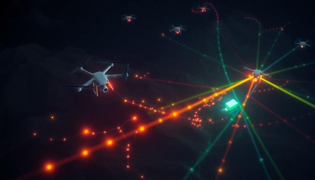
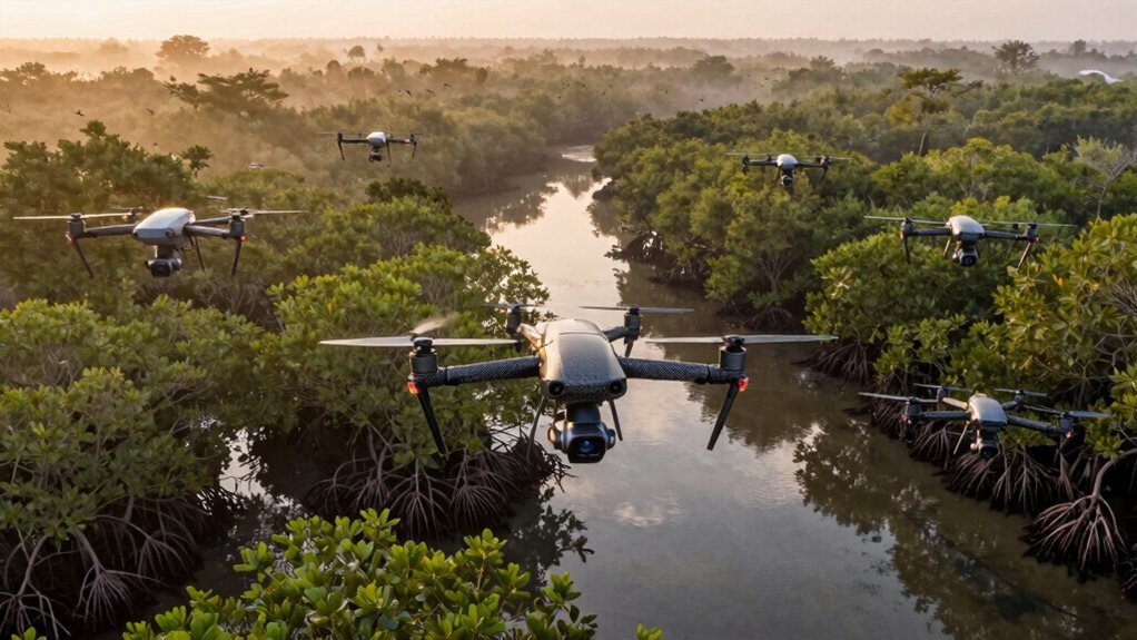
Swarm Intelligence
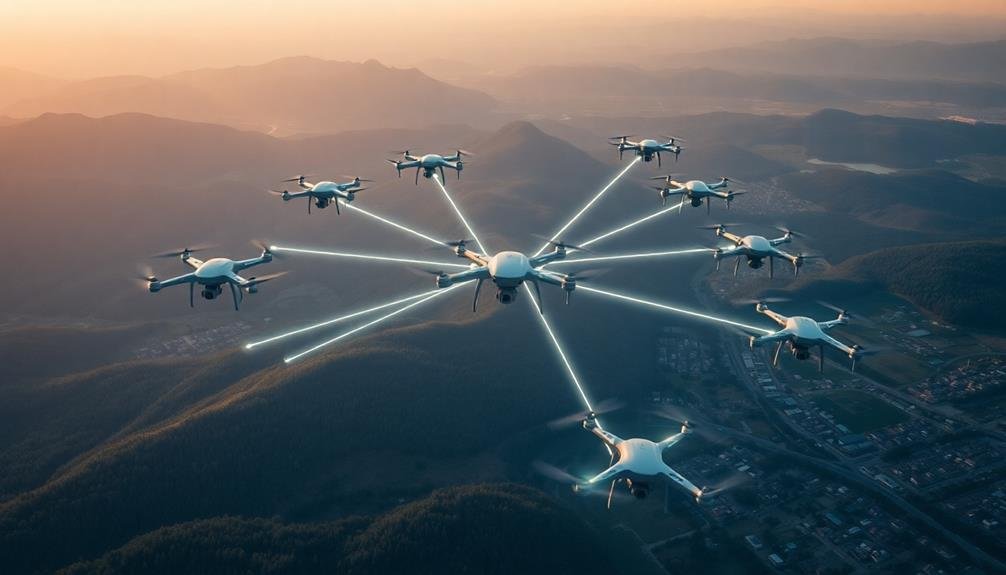
Swarm intelligence in drone search missions leverages the power of collective decision making and distributed problem solving.
You'll find that multiple drones working together can cover larger areas more efficiently and make complex decisions based on shared information.
Collective Decision Making
Imagine a flock of birds gracefully changing direction in unison or a school of fish swiftly evading a predator. These natural phenomena inspire collective decision-making algorithms in drone swarms for search missions. By mimicking nature's efficiency, drones can make group decisions without centralized control.
In collective decision-making, each drone acts as an individual agent, sharing information with nearby drones. They use this shared data to make local decisions that contribute to the swarm's overall goal. For search missions, this might involve dividing the search area, avoiding collisions, or deciding which drone investigates a potential target.
You'll find that these algorithms often use voting mechanisms, where drones "vote" on the best course of action based on their individual observations. The swarm then follows the majority decision.
Another approach is the use of consensus algorithms, where drones iteratively adjust their decisions until the entire swarm agrees on a course of action.
These methods allow drone swarms to adapt quickly to changing environments, make robust decisions in the face of uncertainty, and efficiently cover large search areas. They're particularly useful when communication with a central control is limited or unreliable.
Distributed Problem Solving
Building on collective decision-making, distributed problem solving takes drone swarm intelligence to the next level. In this approach, you'll see drones working together to tackle complex tasks that would be impossible for a single drone to accomplish. Each drone in the swarm acts as an independent agent, processing information and making decisions based on its local environment and interactions with nearby drones.
You'll find that distributed problem solving algorithms enable drones to dynamically allocate tasks among themselves, adapting to changing conditions in real-time. For example, in a search and rescue mission, drones can autonomously divide the search area, adjusting their paths to avoid redundant coverage and maximize efficiency.
They'll share information about potential targets or obstacles, allowing the swarm to quickly converge on areas of interest.
These algorithms often incorporate principles from nature, such as ant colony optimization or particle swarm optimization. You'll see drones using pheromone-like digital trails to mark explored areas or stigmergy to indirectly coordinate their actions.
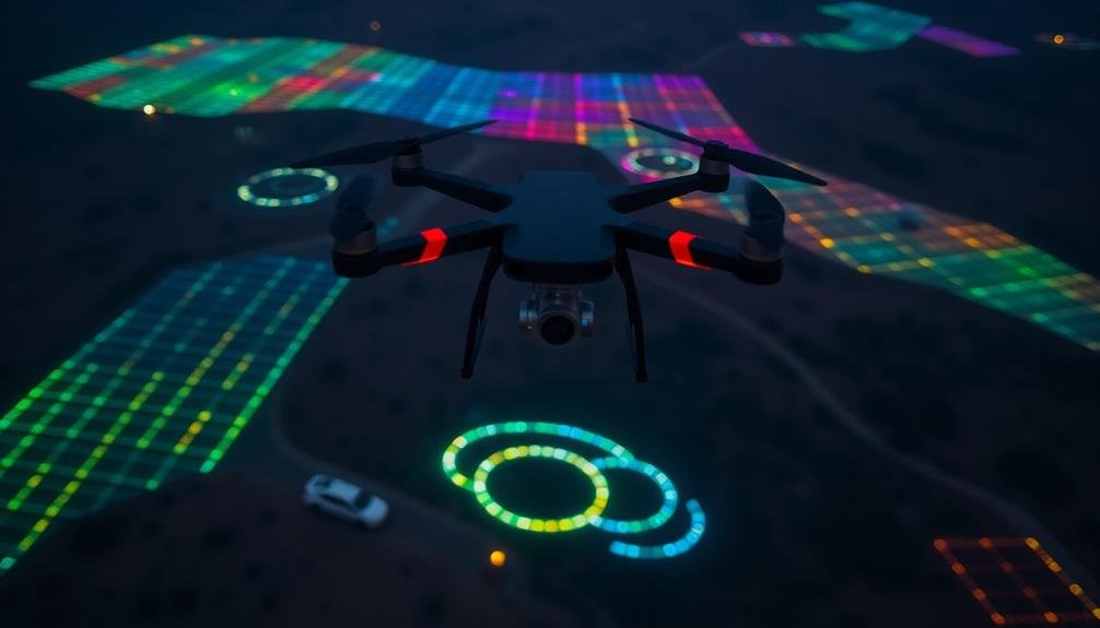
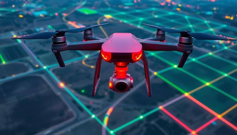
Machine Learning for Terrain Analysis

Machine learning algorithms play an essential role in enhancing terrain analysis for drone search missions. These algorithms can process vast amounts of data from various sensors, enabling drones to understand and maneuver through complex environments more effectively.
You'll find that machine learning models can be trained to recognize specific terrain features, obstacles, and potential areas of interest. This capability allows drones to:
- Identify safe landing zones in rugged landscapes
- Detect camouflaged objects or structures hidden in dense vegetation
- Recognize patterns of human activity in remote areas
- Classify different types of terrain for ideal route planning
By incorporating these advanced algorithms, you're equipping drones with the ability to make real-time decisions based on their surroundings. They can adapt their flight paths, adjust search patterns, and prioritize areas with a higher likelihood of finding missing persons or objects.
Machine learning also enables drones to improve their performance over time. As they gather more data during missions, the algorithms can be fine-tuned to enhance accuracy and efficiency.
This continuous learning process guarantees that your drone fleet becomes increasingly adept at maneuvering through diverse terrains and identifying critical features during search operations.
Thermal Imaging Processing
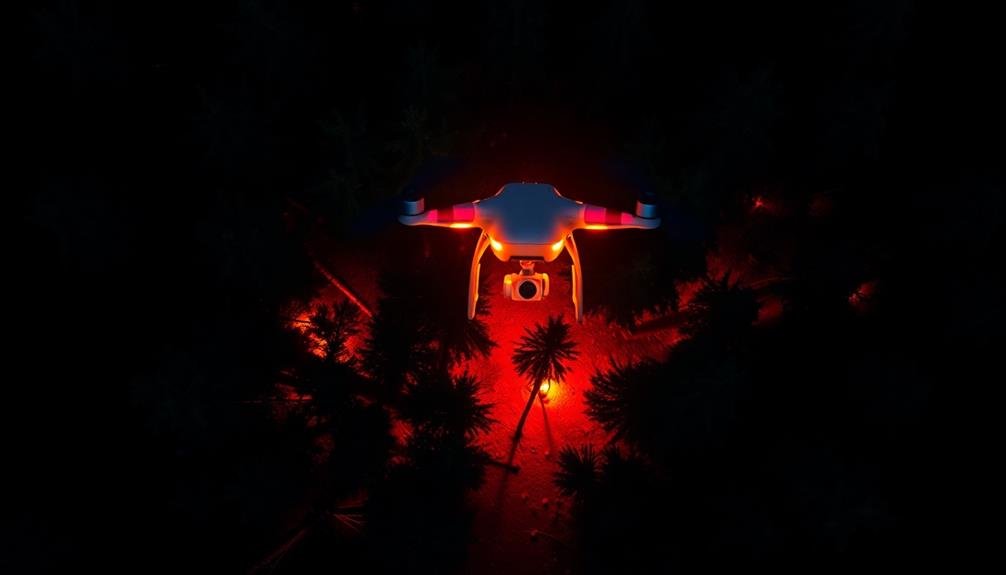
You'll find thermal imaging processing essential for effective drone search missions.
By leveraging heat signature detection and thermal data analysis, you can identify potential targets even in challenging environments.
Infrared pattern recognition algorithms further enhance your ability to distinguish between different heat sources, improving the accuracy of your search efforts.
Heat Signature Detection
Thermal imaging technology forms the backbone of heat signature detection in drone search missions. You'll find that these systems can identify heat sources even in challenging conditions, making them invaluable for locating missing persons or detecting hidden threats.
When a drone equipped with thermal imaging scans an area, it's looking for temperature variations that stand out from the surrounding environment. The AI algorithms process this data in real-time, allowing for quick identification of potential targets.
You'll see these algorithms excel at:
- Distinguishing human heat signatures from animals or inanimate objects
- Detecting subtle temperature differences in dense vegetation or urban environments
- Tracking moving heat sources across varied terrains
- Filtering out false positives caused by reflective surfaces or heat-emitting equipment
The AI's ability to rapidly analyze thermal data greatly enhances search efficiency. It can cover large areas quickly, identifying points of interest that human operators might miss.
You'll find this particularly useful in time-sensitive situations, such as search and rescue operations or wildfire monitoring. As thermal imaging technology continues to advance, you can expect even more precise and reliable heat signature detection capabilities in future drone search missions.
Thermal Data Analysis
Once thermal imaging data is collected, AI algorithms spring into action to process and analyze the information. These algorithms use advanced computer vision techniques to interpret the thermal signatures captured by the drone's sensors. They're designed to distinguish between different heat sources, separating human or animal signatures from background thermal noise.
You'll find that these AI systems employ machine learning models trained on vast datasets of thermal images. They can identify patterns and anomalies that might indicate the presence of a missing person. The algorithms also factor in environmental conditions, time of day, and terrain features to improve accuracy.
In real-time, the AI can highlight potential areas of interest on the operator's screen, allowing for quick decision-making during search missions. It can also track moving heat signatures, predicting possible paths of a lost individual.
Advanced systems even incorporate multi-spectral analysis, combining thermal data with visual and near-infrared imagery. This fusion of data sources enhances the AI's ability to detect and classify objects, reducing false positives and increasing the chances of a successful search operation.
Infrared Pattern Recognition
Building on the thermal data analysis capabilities, infrared pattern recognition takes AI-powered search missions to the next level. This advanced technique allows drones to identify specific heat signatures and patterns associated with human bodies, vehicles, or other objects of interest.
You'll find that infrared pattern recognition algorithms use machine learning models trained on vast datasets of thermal images. These models can distinguish between different heat sources and their characteristics, enabling more accurate target identification.
The AI can quickly process and analyze infrared data in real-time, greatly reducing false positives and improving search efficiency.
When implementing infrared pattern recognition in your drone search missions, you'll benefit from:
- Enhanced detection of partially obscured targets hidden by vegetation or debris
- Improved differentiation between human subjects and wildlife
- Better identification of recently disturbed areas or vehicle tracks
- Increased ability to locate heat signatures in challenging environmental conditions
Real-Time Data Fusion
A crucial component of effective drone search missions is real-time data fusion. This process combines data from multiple sensors and sources to create a thorough, up-to-date picture of the search area.
You'll find that data fusion algorithms integrate information from various drone-mounted sensors, including cameras, infrared sensors, and GPS, as well as external sources like weather data and satellite imagery.
Real-time data fusion algorithms often employ Kalman filters or particle filters to estimate the state of dynamic systems. These techniques help predict target locations and update search patterns on the fly.
You'll also see the use of Bayesian inference methods to combine probabilistic information from different sources, improving the accuracy of search results.
Machine learning techniques, such as deep neural networks, can be applied to fuse heterogeneous data types and extract meaningful patterns. This allows drones to adapt to changing conditions and make informed decisions during the search mission.
Autonomous Navigation Systems

For drone search missions to be truly effective, autonomous navigation systems are essential. These systems enable drones to navigate complex environments without constant human intervention. They rely on sophisticated AI algorithms that process data from various sensors, including GPS, cameras, and LiDAR.
Autonomous navigation systems typically perform four key functions:
- Path planning: Calculating the most efficient route to cover the search area
- Obstacle avoidance: Detecting and maneuvering around trees, buildings, and other obstacles
- Terrain adaptation: Adjusting flight patterns based on the landscape's topology
- Mission optimization: Continuously reassessing and modifying the search strategy based on new information
You'll find that these systems use machine learning techniques like reinforcement learning and deep neural networks to improve their decision-making capabilities over time. They can adapt to changing weather conditions, varying light levels, and unexpected obstacles in real-time.
As you implement autonomous navigation in your drone search missions, you'll notice increased efficiency and coverage. Your drones will be able to operate in areas that are difficult or dangerous for human pilots to navigate directly.
This technology greatly enhances the speed and effectiveness of search and rescue operations, potentially saving more lives in critical situations.
Deep Learning for Pattern Recognition

Leveraging the power of deep learning, pattern recognition has become an essential component in drone search missions. You'll find that convolutional neural networks (CNNs) are at the forefront of this technology, enabling drones to identify objects, people, and terrain features with remarkable accuracy.
These algorithms are trained on vast datasets of images, allowing them to recognize patterns in real-time video feeds. As you operate a search drone, it's constantly analyzing the visual data, highlighting potential targets or areas of interest.
Transfer learning techniques let you adapt pre-trained models to specific search scenarios, such as detecting heat signatures in dense forests or identifying debris patterns in disaster zones.
You'll also encounter recurrent neural networks (RNNs) in advanced systems, which can process sequences of images to track moving targets or analyze changes over time. This is particularly useful when searching for lost hikers or monitoring shifting environmental conditions.
As you utilize these deep learning algorithms, you're tapping into a rapidly evolving field. Researchers are continuously improving model architectures and training methods, enhancing the speed and accuracy of pattern recognition in drone search missions.
Predictive Analytics in Search Missions
Predictive analytics takes drone search missions to the next level by combining pattern recognition with historical data and environmental factors. You'll find that these algorithms can forecast likely locations of missing persons or objects, greatly narrowing the search area and improving efficiency.
By analyzing past successful missions, terrain features, weather conditions, and human behavior patterns, predictive models can generate heat maps of probable locations. You're fundamentally leveraging AI to make educated guesses about where to focus your search efforts.
These predictive algorithms often consider:
- Topographical data, including elevation, vegetation density, and water sources
- Weather patterns and their impact on survival or object movement
- Historical data from similar search and rescue operations in the area
- Behavioral analysis of the missing person or characteristics of the sought object
You'll find that incorporating predictive analytics into your drone search missions can dramatically reduce search times and increase the likelihood of successful outcomes.
It's like having a virtual expert guiding your drones to the most promising areas, maximizing the use of resources and potentially saving lives in time-critical situations.
Natural Language Processing Integration
The integration of Natural Language Processing (NLP) into drone search missions opens up new possibilities for human-machine interaction and data interpretation. You'll find that NLP algorithms can process and analyze text data from various sources, including social media, emergency calls, and witness reports. This capability allows drones to understand and respond to natural language commands, making operations more intuitive and efficient.
NLP enhances communication between ground teams and drones, enabling you to issue complex instructions using everyday language. The drones can interpret these commands and adjust their search patterns accordingly.
Additionally, NLP algorithms can analyze real-time text data to identify potential locations of missing persons or disaster victims, helping you prioritize search areas.
You'll benefit from NLP's ability to extract relevant information from unstructured text data, such as weather reports or terrain descriptions. This feature helps drones adapt their flight paths and search strategies based on current conditions.
Furthermore, NLP can assist in processing and summarizing large volumes of text data collected during missions, providing you with concise, actionable insights that improve decision-making and resource allocation in search and rescue operations.
Computer Vision for Target Identification
Numerous AI-powered computer vision algorithms play an essential role in target identification during drone search missions. These algorithms enable drones to analyze vast amounts of visual data in real-time, markedly enhancing their ability to locate and identify targets efficiently.
You'll find that object detection algorithms, such as YOLO (You Only Look Once) and R-CNN (Region-Based Convolutional Neural Networks), form the backbone of target identification systems. These algorithms can rapidly scan drone footage, identifying and classifying objects of interest with remarkable accuracy.
To create a vivid mental image of how these algorithms work, consider the following steps:
- The drone captures high-resolution images or video of the search area.
- Computer vision algorithms segment the visual data into regions of interest.
- Each region is analyzed for specific features, patterns, or shapes.
- The algorithm compares these features to a database of known targets.
You'll also encounter semantic segmentation algorithms, which help drones understand the context of their surroundings. These algorithms can differentiate between various terrain types, enabling more precise target identification in complex environments.
Reinforcement Learning in Drone Behavior
Reinforcement learning's application in drone behavior has revolutionized search missions by enabling unmanned aerial vehicles to adapt and improve their performance in real-time. This AI technique allows drones to learn from their experiences, optimizing their search patterns and decision-making processes as they navigate complex environments.
You'll find that reinforcement learning algorithms, such as Q-learning and Deep Q-Networks (DQN), are particularly effective in training drones for search missions. These algorithms enable drones to balance exploration and exploitation, ensuring they cover new areas while focusing on promising locations.
They're also adept at handling dynamic environments, adjusting their behavior based on changing conditions or mission parameters.
In practice, you'll see drones using reinforcement learning to optimize their flight paths, conserve energy, and improve target detection accuracy. They'll learn to avoid obstacles, manage battery life, and prioritize areas with higher probabilities of containing targets.
As the drone accumulates experience, it'll refine its decision-making process, becoming more efficient and effective in subsequent missions. This continuous learning capability makes reinforcement learning a powerful tool in enhancing the autonomy and adaptability of drones in search and rescue operations.
Frequently Asked Questions
How Do AI Algorithms Handle Ethical Considerations in Drone Search Missions?
You'll find that AI algorithms for drone search missions incorporate ethical safeguards. They're programmed to prioritize human safety, respect privacy, and follow legal guidelines. Decision-making processes are designed to minimize potential harm and maximize beneficial outcomes.
What Are the Energy Consumption Implications of Ai-Powered Drones?
You'll find AI-powered drones consume more energy due to intensive computations. They're power-hungry, requiring larger batteries or frequent recharging. This impacts flight time and range, so you'll need to balance AI capabilities with energy efficiency.
How Do Weather Conditions Affect AI Performance in Drone Searches?
You'll find that extreme weather can greatly impact AI performance in drone searches. High winds, heavy rain, or snow can reduce sensor accuracy, interfere with communication, and limit flight capabilities, making it harder for AI to operate effectively.
What Cybersecurity Measures Protect Ai-Driven Drones From Potential Hacking Attempts?
You'll find that AI-driven drones use encryption, secure communication protocols, and regular software updates to protect against hacking. They also employ authentication measures, intrusion detection systems, and isolated networks to safeguard their operations from potential cyber threats.
How Do AI Algorithms Integrate With Human Decision-Making During Search Missions?
You'll find AI algorithms working alongside human operators during search missions. They process data, suggest ideal paths, and identify potential targets, but you retain final decision-making power. It's a collaborative approach enhancing mission effectiveness.
In Summary
You've seen how AI algorithms revolutionize drone search missions. From object detection to swarm intelligence, these technologies enhance efficiency and accuracy. As you implement these tools, you'll find drones becoming smarter and more autonomous. Remember, it's not just about individual algorithms, but their integration that creates powerful search capabilities. Keep exploring and adapting these AI solutions to stay at the forefront of drone search technology.
As educators and advocates for responsible drone use, we’re committed to sharing our knowledge and expertise with aspiring aerial photographers.
Leave a Reply