You'll find a range of powerful urban planning applications to map and analyze cities effectively. GIS software enables thorough spatial analysis, while 3D modeling tools create detailed urban environments. Traffic flow simulators help optimize transportation networks, and land use planning apps assist in zoning and development decisions. Urban heat island mapping identifies temperature hotspots, allowing for targeted mitigation strategies. Smart city infrastructure planning integrates IoT sensors for real-time data collection, and public transportation optimization systems improve route efficiency. These tools offer invaluable insights for creating sustainable, livable urban spaces. Explore further to discover how each application can transform your city planning process.
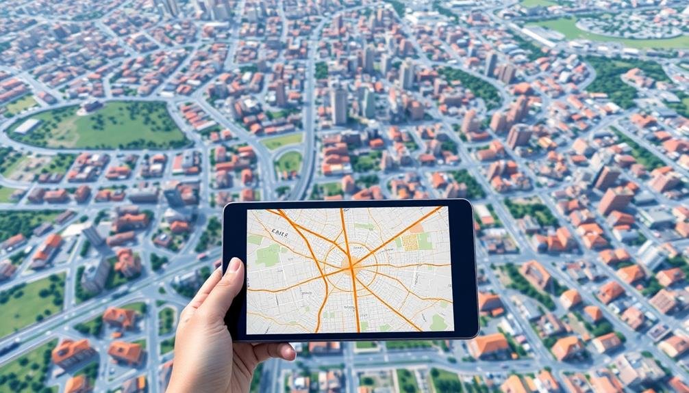
GIS for Urban Analysis
In urban planning, Geographic Information Systems (GIS) have become indispensable tools for analyzing city landscapes. You'll find that GIS software allows you to create, manage, and analyze spatial data, providing valuable insights into urban dynamics.
With GIS, you can overlay multiple data layers, such as population density, land use, and transportation networks, to identify patterns and relationships within the urban fabric. GIS enables you to perform various urban analyses, including site suitability assessments, zoning studies, and traffic flow simulations.
You can use it to map demographic data, visualize crime hotspots, or analyze the distribution of public services. It's particularly useful for conducting environmental impact assessments and identifying areas prone to natural hazards.
When working with GIS, you'll appreciate its ability to generate high-quality maps and 3D visualizations, which can help communicate complex urban issues to stakeholders and the public.
You can also use GIS to create interactive web maps, allowing for better public engagement in urban planning processes. By leveraging GIS technology, you'll be able to make more informed decisions and develop data-driven strategies for sustainable urban development.
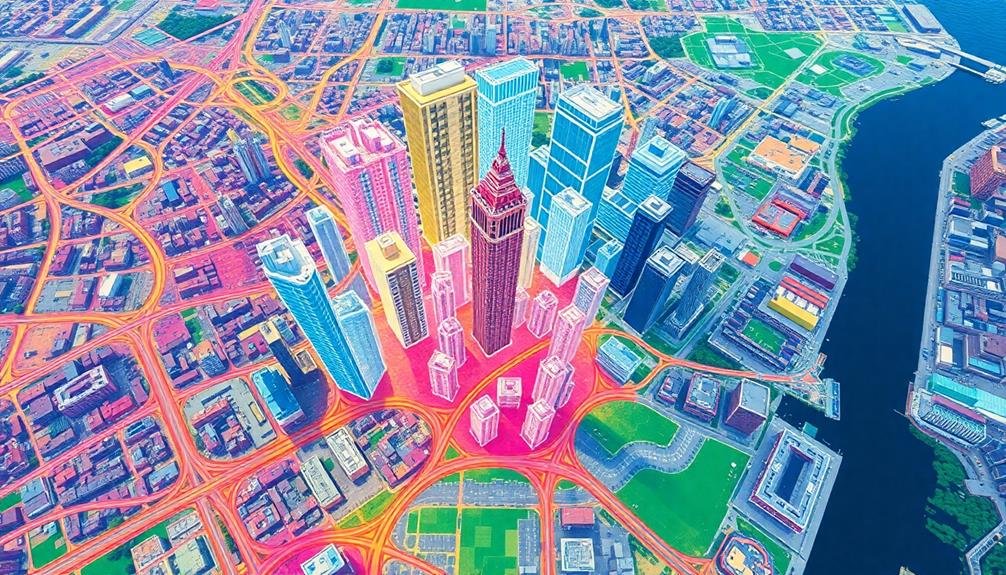
3D City Modeling Software
Three key types of 3D city modeling software have revolutionized urban planning and visualization.
First, you'll find procedural modeling tools like Esri CityEngine, which allow you to create large-scale urban environments quickly using rule-based algorithms. These tools are perfect for generating multiple urban scenarios and testing different planning strategies.
Next, there's Building Information Modeling (BIM) software such as Autodesk Revit or ArchiCAD. These applications enable you to create detailed, data-rich models of individual buildings and integrate them into larger urban contexts. You'll appreciate how BIM tools facilitate collaboration between architects, engineers, and urban planners.
Lastly, you've got GIS-based 3D modeling software like ArcGIS Pro or QGIS. These tools combine the power of spatial analysis with 3D visualization capabilities, allowing you to overlay various data layers onto your city models. You can use them to analyze everything from shadow impacts to flood risks.
When choosing 3D city modeling software, consider your specific needs, budget, and team's expertise. Each type offers unique strengths, and you might even use a combination to achieve thorough urban planning and analysis results.
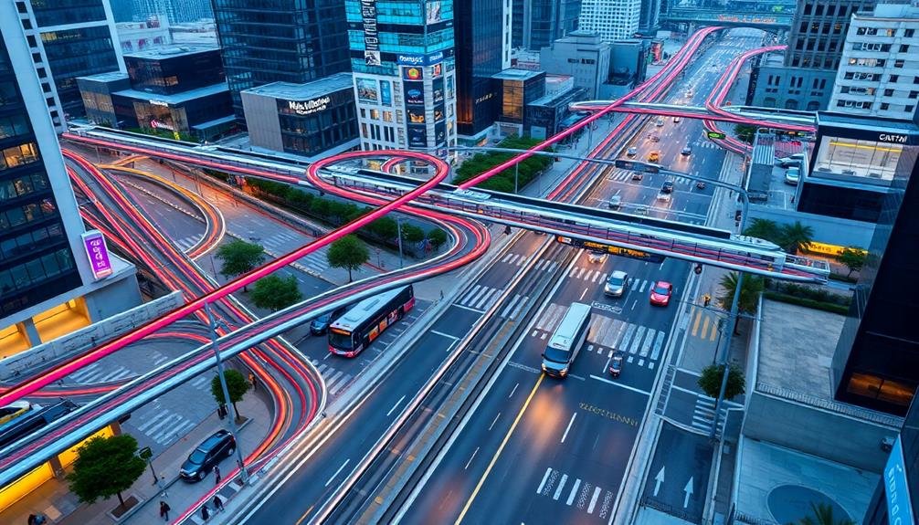
Traffic Flow Simulation Tools
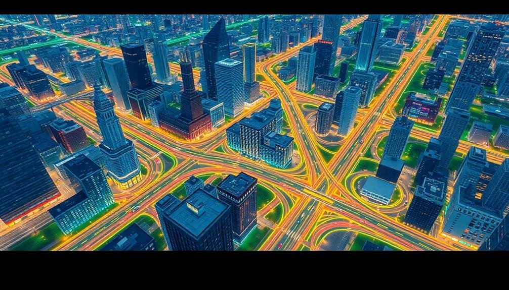
Traffic Flow Simulation Tools offer you powerful insights into urban mobility patterns.
You'll find real-time congestion analysis capabilities that help identify bottlenecks and optimize traffic management strategies.
These tools also enable you to create predictive traffic models, allowing you to anticipate future transportation needs and plan accordingly.
Real-Time Congestion Analysis
Real-time congestion analysis consistently plays an essential role in modern urban planning. It provides you with up-to-the-minute data on traffic patterns, allowing for immediate interventions and long-term strategic planning.
By leveraging advanced technologies like GPS, IoT sensors, and AI algorithms, you'll gain invaluable insights into your city's traffic flow.
To effectively implement real-time congestion analysis, consider these key components:
- Data collection infrastructure: Install a network of sensors and cameras throughout your city to gather accurate, real-time traffic data.
- Data processing systems: Utilize powerful computing resources to analyze the vast amounts of incoming data quickly and efficiently.
- Visualization tools: Implement user-friendly dashboards and maps to display congestion information clearly and intuitively.
- Integration with existing systems: Guarantee your real-time analysis tools work seamlessly with traffic management systems and emergency services.
Predictive Traffic Modeling
Building upon real-time congestion analysis, predictive traffic modeling takes urban planning a step further. You'll find that these sophisticated tools simulate future traffic patterns based on various factors, allowing you to anticipate and mitigate potential issues before they arise.
By leveraging historical data, current conditions, and planned changes, you can create accurate models of traffic flow. These simulations help you identify bottlenecks, optimize traffic light timing, and plan infrastructure improvements more effectively.
Here's how predictive traffic modeling can benefit your city:
| Benefits | Challenges |
|---|---|
| Reduced congestion | Data accuracy |
| Improved air quality | Model complexity |
| Enhanced safety | Implementation costs |
| Efficient resource allocation | Stakeholder buy-in |
| Better urban planning | Continuous updates |
You'll notice that these tools enable you to test different scenarios, such as the impact of new developments or road closures, without real-world consequences. This capability allows for more informed decision-making and helps you create a more resilient urban transportation network.
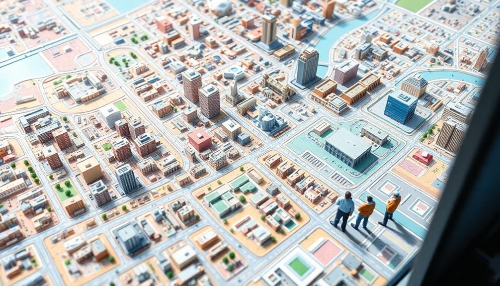
Land Use Planning Applications
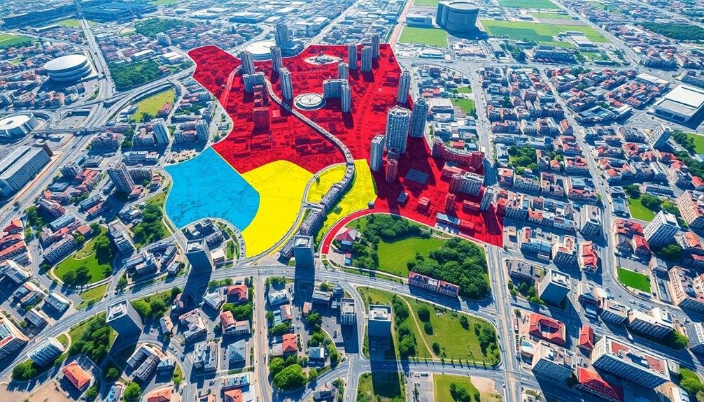
Numerous land use planning applications leverage urban mapping technologies to optimize city layouts and zoning. You'll find these tools invaluable for visualizing current land use patterns, identifying potential development areas, and analyzing the impact of proposed changes. By integrating geographic information systems (GIS) with demographic data, you can make informed decisions about future urban growth and development.
These applications allow you to:
- Create detailed zoning maps that clearly delineate residential, commercial, and industrial areas
- Analyze population density and predict future housing needs
- Identify suitable locations for public amenities like parks, schools, and hospitals
- Assess the environmental impact of proposed developments on green spaces and natural resources
You'll appreciate how these tools enable you to simulate different scenarios and evaluate their potential outcomes. By visualizing the long-term effects of various land use strategies, you can make more sustainable urban planning decisions.
These applications also facilitate better communication with stakeholders, as you can easily share interactive maps and data visualizations. With the right land use planning tools, you'll be well-equipped to shape the future of your city in a way that balances growth, sustainability, and quality of life for residents.
Urban Heat Island Mapping

You'll find urban heat island mapping invaluable for visualizing temperature distribution across cities.
This powerful tool allows you to identify hotspots and cooler areas, revealing patterns of heat retention and dissipation.
With this information, you can develop targeted mitigation strategies, such as increasing green spaces or modifying building materials in the most affected areas.
Temperature Distribution Visualization
Leveraging advanced thermal imaging and satellite data, temperature distribution visualization has become an essential tool for urban planners tackling the urban heat island effect.
You'll find this technology invaluable for identifying hotspots and cooler areas within your city, allowing you to make informed decisions about urban development and mitigation strategies.
To effectively utilize temperature distribution visualization, you should:
- Collect data from multiple sources, including ground-based sensors, satellite imagery, and aerial thermal cameras
- Create high-resolution maps that display temperature variations across different urban landscapes
- Analyze patterns to identify correlations between land use, building materials, and temperature anomalies
- Use time-series data to track changes in temperature distribution over different seasons and years
Mitigation Strategy Planning
Armed with temperature distribution data, you're now ready to develop effective mitigation strategies for urban heat islands. Use mapping applications to identify hotspots and prioritize areas for intervention.
Focus on implementing green infrastructure, such as parks, green roofs, and urban forests, to reduce surface temperatures and improve air quality.
Map potential locations for cool pavements and reflective surfaces to minimize heat absorption. Identify areas suitable for water features like fountains or misting systems to provide cooling effects.
Use the data to plan strategic placement of shade structures in high-traffic pedestrian areas.
Analyze building density and height to optimize airflow and reduce heat trapping. Map potential sites for vertical gardens or living walls on existing structures.
Identify neighborhoods that would benefit most from tree-planting initiatives, focusing on areas with vulnerable populations.
Use the mapping tools to visualize the impact of proposed mitigation strategies over time. Create before-and-after simulations to demonstrate the potential temperature reductions.
This visual approach will help you communicate the benefits of mitigation efforts to stakeholders and secure support for implementation.
Smart City Infrastructure Planning

Mapping cities for smart infrastructure planning revolutionizes urban development. You'll find that these advanced mapping techniques enable you to create more efficient, sustainable, and livable urban environments.
By leveraging geographic information systems (GIS) and other cutting-edge technologies, you can visualize and analyze complex urban data to make informed decisions about infrastructure placement and design.
When planning smart city infrastructure, you'll want to focus on:
- Integrating IoT sensors for real-time data collection
- Enhancing energy distribution networks
- Implementing intelligent transportation systems
- Designing resilient water and waste management solutions
These mapping applications allow you to layer various data sets, such as population density, traffic patterns, and utility networks, to identify ideal locations for smart infrastructure elements.
You can simulate different scenarios to predict the impact of proposed changes and make data-driven decisions. By visualizing the city's digital twin, you'll be able to identify potential bottlenecks, inefficiencies, and opportunities for improvement.
This approach helps you create a more connected and responsive urban environment that adapts to the changing needs of its residents while maximizing resource efficiency and sustainability.
Public Transportation Optimization Systems
Numerous cities worldwide are turning to public transportation optimization systems to enhance their urban mobility. These systems use real-time data and advanced algorithms to improve the efficiency and reliability of public transit networks. You'll find that they can notably reduce travel times, minimize overcrowding, and enhance overall passenger experience.
When implementing these systems, you'll typically focus on four key areas:
| Area of Focus | Benefits |
|---|---|
| Route Planning | Optimized schedules and reduced wait times |
| Vehicle Tracking | Real-time updates and accurate arrival predictions |
| Demand Forecasting | Better resource allocation and capacity management |
| Fare Integration | Seamless payments and improved accessibility |
Frequently Asked Questions
How Do Urban Planning Applications Integrate With Real-Time Data From Iot Devices?
You'll find urban planning apps integrate IoT data seamlessly. They'll collect real-time info from sensors on traffic, air quality, and energy use. This allows you to make data-driven decisions and quickly respond to changing conditions.
What Are the Privacy Concerns Associated With Using Urban Mapping Technologies?
You should be aware of privacy concerns with urban mapping technologies. They can collect personal data, track your movements, and potentially reveal sensitive information. It's essential to reflect on how this data's used and who has access to it.
Can These Applications Predict Future Urban Growth Patterns Accurately?
You'll find that urban mapping applications can predict growth patterns with reasonable accuracy. They use historical data, current trends, and AI algorithms to forecast expansion. However, unforeseen factors can still impact their predictions, so they're not infallible.
How Do Urban Planning Tools Address Issues of Social Equity and Inclusion?
You'll find that many urban planning tools now incorporate equity analysis features. They'll help you identify underserved areas, assess resource distribution, and visualize demographic data. You can use these insights to promote inclusive development and address social disparities.
What Level of Technical Expertise Is Required to Use These Urban Planning Applications?
You'll find urban planning apps vary in complexity. Some are user-friendly for beginners, while others require advanced GIS skills. Don't worry, though – many offer tutorials and support. Start with simpler tools and work your way up.
In Summary
You've now explored seven powerful tools for mapping and planning cities. From GIS analysis to 3D modeling, traffic simulation to land use planning, you're equipped to tackle urban challenges. Don't forget the importance of heat island mapping and smart infrastructure planning. Finally, you can optimize public transportation systems. With these applications, you'll be well-prepared to shape the cities of tomorrow, creating more livable, efficient, and sustainable urban environments for all.
As educators and advocates for responsible drone use, we’re committed to sharing our knowledge and expertise with aspiring aerial photographers.


Leave a Reply