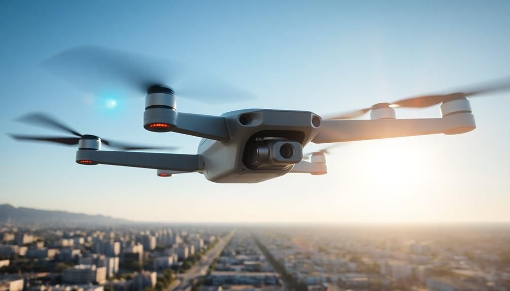
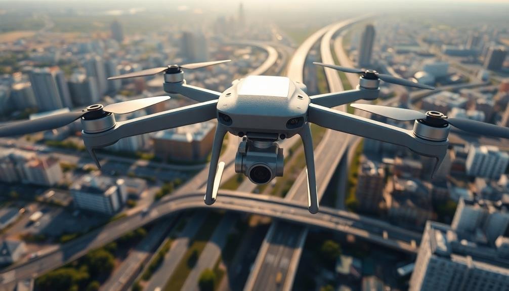
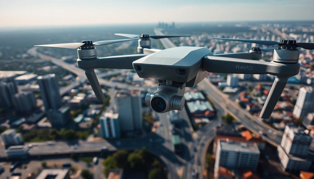
Mapping infrastructure with flying cameras revolutionizes asset management. You'll achieve centimeter-level accuracy while slashing costs and time. Drones enhance safety by accessing hazardous areas and provide real-time data for swift decision-making. They capture extensive visual documentation, enabling predictive maintenance and early issue detection. You'll reduce environmental impact by minimizing on-site inspections and vehicle emissions. This scalable approach allows efficient monitoring of larger areas without increasing management costs. From cost savings to enhanced safety and detailed insights, drone mapping transforms how you oversee and maintain infrastructure. Discover how this technology can elevate your infrastructure management strategy.
Accuracy and Precision
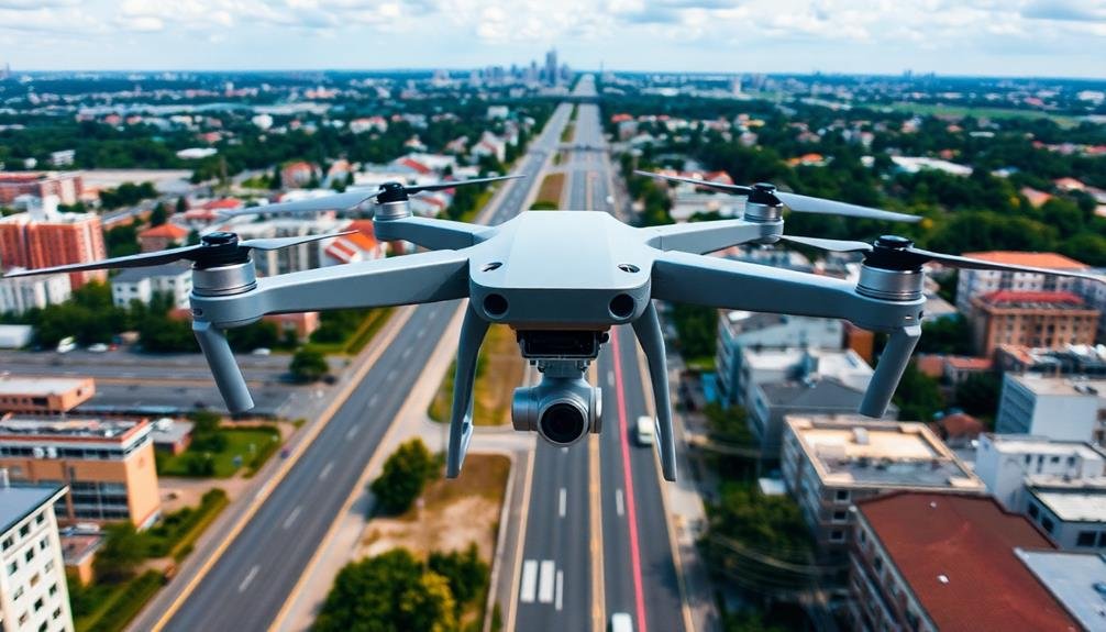
Flying cameras' accuracy and precision in mapping infrastructure have improved dramatically in recent years. You'll find that modern drones equipped with high-resolution cameras and advanced sensors can capture detailed imagery with centimeter-level accuracy. This level of precision is essential for creating accurate 3D models and orthomosaic maps of infrastructure projects.
When you use flying cameras for mapping, you're able to collect data from angles and perspectives that would be difficult or impossible to achieve with ground-based methods. This extensive coverage guarantees that you don't miss any critical details. The ability to fly at various altitudes also allows you to adjust the resolution and scale of your mapping as needed.
Moreover, you'll benefit from the repeatability of drone flights. You can program exact flight paths and capture settings, ensuring consistent data collection over time. This is particularly valuable for monitoring changes in infrastructure or tracking the progress of construction projects.
Cost-Effective Inspections
You'll find that using flying cameras for infrastructure mapping greatly reduces labor expenses.
Instead of sending large teams to inspect sites manually, you can deploy a small crew with drones to cover vast areas quickly and efficiently.
This approach also minimizes equipment requirements, as a single drone can replace multiple ground-based tools and vehicles traditionally used for inspections.
Reduced Labor Expenses
Slashing labor costs is a major benefit of using flying cameras for infrastructure mapping.
You'll greatly reduce the number of personnel needed for inspections and surveys. Instead of sending large teams to manually inspect vast areas, you can deploy a small crew to operate drones equipped with high-resolution cameras.
These flying cameras can cover extensive ground quickly, capturing detailed imagery and data that would take human teams much longer to collect.
You'll save on wages, transportation costs, and equipment expenses associated with traditional inspection methods. Additionally, you'll minimize the need for specialized personnel to access hard-to-reach areas, as drones can easily navigate challenging terrain and heights.
Minimized Equipment Requirements
By leveraging flying cameras for infrastructure mapping, you'll greatly reduce your equipment requirements. Traditional methods often involve heavy machinery, specialized vehicles, and extensive ground-based equipment. In contrast, flying cameras, typically mounted on drones or UAVs, offer a more streamlined approach.
You'll need fewer tools to accomplish thorough infrastructure mapping. A well-equipped drone with a high-resolution camera, GPS capabilities, and obstacle avoidance features can replace multiple pieces of ground-based equipment. This minimalist setup allows you to access hard-to-reach areas without the need for scaffolding, cherry pickers, or other expensive machinery.
Additionally, you won't require as many safety devices typically associated with manual inspections. Harnesses, helmets, and protective gear become less necessary when your primary tool is airborne.
The compact nature of drone equipment also means reduced transportation and storage costs. You can easily transport your entire mapping setup in a single vehicle, eliminating the need for large trucks or trailers.
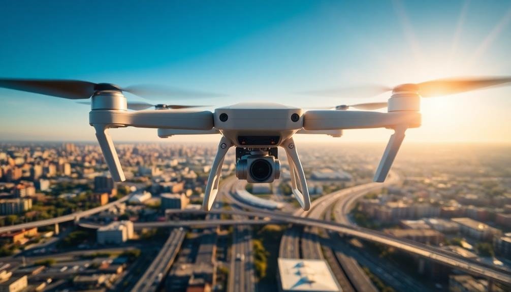
Time-Saving Technology
While traditional mapping methods can be time-consuming and labor-intensive, flying cameras offer a revolutionary approach to infrastructure surveying. You'll find that these aerial devices considerably reduce the time needed to map large areas or complex structures. With drones equipped with high-resolution cameras, you can capture detailed imagery of entire sites in a fraction of the time it would take using ground-based methods.
You'll appreciate how quickly you can gather data using flying cameras. They allow you to cover vast distances and access hard-to-reach areas effortlessly. Instead of spending days or weeks manually surveying a location, you can complete the task in hours. This efficiency translates to faster project timelines and reduced labor costs.
Moreover, the speed at which you can process and analyze the collected data is remarkable. Advanced software can stitch together thousands of images to create accurate 3D models and orthomosaic maps in near real-time.
You'll have access to thorough, up-to-date information about your infrastructure without the lengthy delays associated with traditional surveying methods. This rapid turnaround enables quicker decision-making and more agile project management, ultimately saving you valuable time and resources.
Enhanced Safety Measures

Flying cameras greatly enhance safety in infrastructure mapping. By using drones or other aerial devices equipped with cameras, you'll markedly reduce the risks associated with traditional ground-based surveying methods. You won't need to send workers into hazardous areas, such as unstable terrain, high-traffic zones, or contaminated sites. This technology allows you to inspect hard-to-reach locations like bridges, towers, and rooftops without putting personnel in danger.
You'll also improve overall site safety by identifying potential hazards before they become serious problems. The aerial perspective enables you to spot structural weaknesses, erosion, or other issues that mightn't be visible from the ground. This proactive approach helps you address safety concerns before accidents occur.
Moreover, you can conduct inspections more frequently without increasing risks to workers. Regular monitoring allows you to detect changes in infrastructure conditions over time, ensuring timely maintenance and repairs.
Inaccessible Area Coverage

Accessing hard-to-reach areas becomes effortless with flying cameras. You'll find that these aerial devices can navigate spaces that are typically off-limits or dangerous for human inspectors.
From towering structures to remote wilderness, flying cameras offer a versatile solution for thorough infrastructure mapping.
You'll appreciate the ability to survey areas that were previously impossible or impractical to reach. Flying cameras can:
- Inspect tall buildings and bridges without scaffolding
- Explore underground tunnels and caves safely
- Assess damage in disaster-stricken regions
- Monitor wildlife in dense forests or steep terrain
- Survey offshore installations without boats
By using flying cameras, you'll gather vital data from these inaccessible locations. This information helps you make informed decisions about maintenance, repairs, and future development.
You'll also reduce the need for expensive equipment or putting personnel at risk in hazardous environments.
The high-quality imagery and 3D mapping capabilities of flying cameras provide you with a detailed view of infrastructure in even the most challenging terrains.
This thorough coverage guarantees you don't miss critical details that could impact the safety, efficiency, or longevity of your infrastructure projects.
Real-Time Data Collection
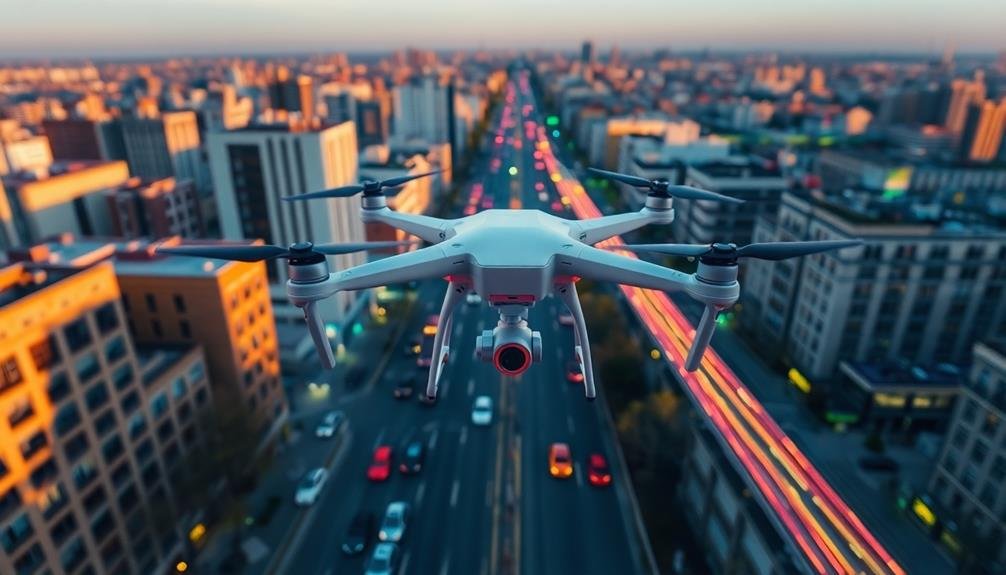
With flying cameras, you'll access immediate information gathering capabilities, allowing you to capture infrastructure data as it unfolds.
Your dynamic situational awareness improves markedly, enabling you to monitor changes and developments in real-time.
This rapid decision-making support empowers you to respond quickly to emerging issues or opportunities, enhancing overall infrastructure management efficiency.
Immediate Information Gathering
Capturing real-time data, flying cameras equipped with advanced sensors can provide immediate information about infrastructure conditions. You'll benefit from this rapid assessment capability when you need to make quick decisions or respond to emergencies.
These aerial systems can swiftly gather data on road conditions, bridge integrity, power line status, and other critical infrastructure elements.
With flying cameras, you're able to access hard-to-reach areas and cover large distances in a short time. This immediacy allows you to:
- Identify potential hazards before they escalate
- Assess damage after natural disasters
- Monitor ongoing construction projects
- Detect unauthorized changes or encroachments
- Track the progress of repair work
The real-time nature of this information gathering means you're always working with the most up-to-date data. You can make informed decisions based on current conditions rather than relying on outdated reports.
This immediate access to information is particularly valuable in dynamic situations where conditions can change rapidly.
Dynamic Situational Awareness
Flying cameras elevate your situational awareness to new heights, providing a dynamic, real-time view of infrastructure conditions. As you deploy these aerial tools, you'll gain access to up-to-the-minute information about your assets, allowing for swift decision-making and proactive management.
With drones and other flying cameras, you can monitor rapidly changing situations, such as traffic flow, construction progress, or environmental impacts. They enable you to track multiple points of interest simultaneously, giving you a thorough understanding of your infrastructure's current state.
You'll spot potential issues before they escalate, saving time and resources in the long run. These airborne devices also offer flexibility in data collection. You can adjust flight paths, altitudes, and camera angles on the fly, ensuring you capture the most relevant information as conditions change.
This adaptability is essential when dealing with unexpected events or emergencies.
Rapid Decision-Making Support
Real-time data collection through flying cameras revolutionizes rapid decision-making in infrastructure management. You'll have access to up-to-the-minute information on your assets' condition, allowing you to make informed decisions quickly.
These aerial systems provide a thorough view of your infrastructure, helping you identify potential issues before they escalate.
By leveraging flying camera technology, you're able to:
- Assess damage immediately after natural disasters
- Monitor construction progress in real-time
- Detect safety hazards across large areas
- Track traffic patterns and congestion
- Evaluate the effectiveness of maintenance efforts
With this wealth of data at your fingertips, you can prioritize repairs, allocate resources efficiently, and respond to emergencies faster than ever before.
Flying cameras enable you to make decisions based on current, accurate information rather than relying on outdated reports or assumptions.
You'll also improve your ability to communicate with stakeholders by sharing visual evidence of infrastructure conditions. This transparency can help justify budget allocations and demonstrate the impact of your management decisions.
Comprehensive Visual Documentation
Thorough visual documentation forms the backbone of modern map infrastructure projects. When you use flying cameras, you're capturing a complete visual record of the entire area. This isn't just about taking pretty pictures; it's about creating a detailed, accurate representation of the landscape and infrastructure.
You'll find that these aerial images provide invaluable insights. They reveal patterns, relationships, and details that might be missed from ground level. You can spot potential issues, track changes over time, and make more informed decisions about infrastructure development and maintenance.
Here's how flying cameras enhance visual documentation:
| Feature | Benefit | Application |
|---|---|---|
| High Resolution | Detailed imagery | Identify small defects |
| Wide Coverage | All-encompassing view | Assess large areas quickly |
| Multiple Angles | 3D perspective | Create accurate 3D models |
Predictive Maintenance Capabilities
You'll find that flying cameras equipped with advanced sensors can revolutionize your predictive maintenance strategy.
These airborne systems enable you to spot potential issues early, allowing you to prioritize repair work before problems escalate.
Early Issue Detection
Frequently, flying cameras equipped with advanced sensors can spot infrastructure issues before they become critical problems. You'll find that these aerial systems can detect subtle changes in structures, materials, and surrounding environments that might escape ground-level inspections. By identifying potential issues early, you're able to prioritize maintenance tasks and allocate resources more efficiently.
These flying cameras can help you:
- Detect hairline cracks in bridges or buildings
- Identify areas of vegetation encroachment on power lines
- Spot early signs of erosion around dams or levees
- Discover thermal anomalies indicating energy inefficiencies
- Detect minor subsidence in roads or railways
You'll appreciate how this technology allows for more frequent and thorough inspections without disrupting traffic or operations. It's particularly useful for hard-to-reach areas or sprawling infrastructure networks.
By catching problems in their infancy, you'll prevent costly repairs and potential failures down the line. You're also enhancing public safety by addressing issues before they pose risks to users.
With early issue detection, you're not just maintaining infrastructure; you're proactively managing it for long-term sustainability and reliability. This approach shifts your maintenance strategy from reactive to preventive, ultimately saving time, money, and resources.
Prioritizing Repair Work
With the wealth of data collected by flying cameras, you're able to implement predictive maintenance capabilities that revolutionize how you prioritize repair work. By analyzing high-resolution imagery and sensor data, you can identify potential issues before they become critical failures. This proactive approach allows you to allocate resources more efficiently, focusing on areas that need immediate attention.
You'll gain insights into the rate of deterioration for different infrastructure components, enabling you to create a data-driven maintenance schedule. This helps you avoid costly emergency repairs and extends the lifespan of your assets. By prioritizing repairs based on actual condition rather than fixed schedules, you'll optimize your budget and workforce.
The data collected by flying cameras also helps you make informed decisions about long-term infrastructure investments. You can identify patterns and trends in wear and tear, allowing you to predict future maintenance needs accurately.
This foresight enables you to plan for major repairs or replacements well in advance, minimizing disruptions to service and ensuring the safety and reliability of your infrastructure. Ultimately, you'll be able to maintain a higher standard of infrastructure quality while reducing overall maintenance costs.
Optimizing Maintenance Schedules
The optimization of maintenance schedules is a game-changer for infrastructure management. By using flying cameras to map and assess infrastructure, you'll gain valuable insights that allow you to predict when maintenance is needed. This predictive approach helps you avoid costly breakdowns and extends the lifespan of your assets.
With aerial imagery and advanced analytics, you can create data-driven maintenance schedules tailored to each asset's specific needs. You'll be able to detect early signs of wear and tear, prioritize repairs, and allocate resources more efficiently. This proactive strategy not only saves money but also guarantees safer and more reliable infrastructure for the public.
Here are some key benefits of optimizing maintenance schedules:
- Reduced downtime and disruptions
- Lower maintenance costs
- Improved asset longevity
- Enhanced safety for users
- Better allocation of resources and personnel
Environmental Impact Reduction
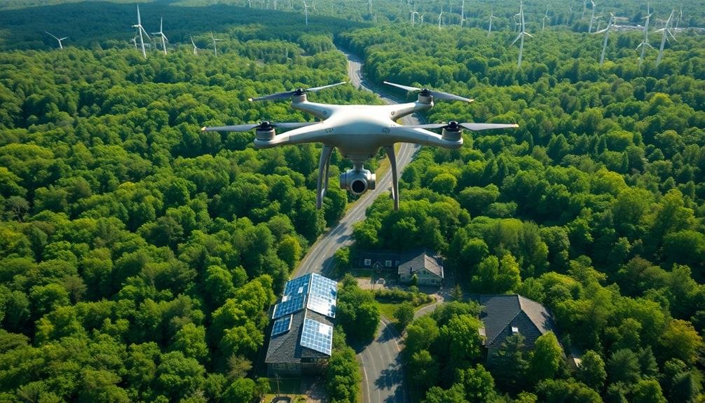
Many organizations are turning to drone-based mapping to reduce their environmental footprint. By using flying cameras, you'll greatly decrease the need for on-site inspections and physical surveys, which often require vehicles and equipment that emit greenhouse gases. Drones can cover large areas quickly and efficiently, minimizing the time and resources needed for infrastructure mapping.
You'll also reduce soil compaction and vegetation damage that often occurs during traditional ground-based surveys. Drones allow you to collect data without physically disturbing sensitive ecosystems or protected areas. This non-invasive approach is particularly beneficial when mapping in environmentally fragile locations.
Furthermore, you'll minimize waste generation associated with traditional mapping methods. Drone-based mapping eliminates the need for paper maps and reduces the production of disposable materials used in ground surveys.
The digital data collected can be easily stored, shared, and updated without consuming additional resources.
Scalable Infrastructure Management

Scaling your infrastructure management becomes considerably easier when you incorporate drone-based mapping technologies. You'll be able to monitor and manage larger areas more efficiently, reducing the need for manual inspections and on-site visits.
This scalability allows you to expand your infrastructure without proportionally increasing your management costs or workforce.
With flying cameras, you can quickly adapt to changes in your infrastructure's size or complexity. You'll have the ability to capture high-resolution imagery and data across vast areas, making it easier to identify issues, plan maintenance, and make informed decisions about resource allocation.
This scalable approach enables you to:
- Manage multiple sites or facilities simultaneously
- Quickly assess new acquisitions or expansions
- Adapt to seasonal changes or fluctuating demand
- Implement standardized inspection protocols across diverse assets
- Easily integrate new technologies or data analysis methods
Frequently Asked Questions
What Types of Flying Cameras Are Used for Infrastructure Mapping?
You'll find various flying cameras used for infrastructure mapping, including drones with high-resolution cameras, LiDAR-equipped UAVs, thermal imaging drones, and multispectral camera drones. These provide detailed aerial views and data for accurate mapping and analysis.
How Long Does It Take to Train Operators for This Technology?
You'll need about 1-2 weeks to master basic drone operation for infrastructure mapping. However, advanced skills and specialized software proficiency can take several months to develop fully. It's an ongoing learning process as technology evolves.
Are There Legal Restrictions on Using Flying Cameras for Infrastructure Mapping?
Yes, there are legal restrictions. You'll need to comply with aviation regulations, obtain necessary permits, and respect privacy laws. Check local and national rules on drone usage, airspace restrictions, and data collection before mapping infrastructure with flying cameras.
Can Flying Cameras Be Used in All Weather Conditions?
You can't use flying cameras in all weather conditions. They're limited by strong winds, heavy rain, and extreme temperatures. For best results, you'll want clear skies and calm conditions to guarantee safety and image quality.
How Is the Data From Flying Cameras Integrated With Existing Mapping Systems?
You'll find that data from flying cameras is seamlessly integrated into existing mapping systems. It's processed, georeferenced, and aligned with current maps. You'll see it enhance detail, update information, and provide a more thorough view of infrastructure.
In Summary
You've seen how flying cameras revolutionize infrastructure mapping. They're accurate, cost-effective, and time-saving. They enhance safety, reach inaccessible areas, and provide extensive documentation. With predictive maintenance capabilities, they'll help you stay ahead of issues. You'll reduce environmental impact and manage infrastructure more efficiently at scale. By embracing this technology, you're not just mapping—you're future-proofing your infrastructure management approach. It's time to take your mapping efforts to new heights.
As educators and advocates for responsible drone use, we’re committed to sharing our knowledge and expertise with aspiring aerial photographers.


Leave a Reply