New imaging techniques have revolutionized how you can visualize and assess building exteriors. Drone technology now provides access to hard-to-reach areas, capturing high-resolution images and videos. 3D modeling from drone footage, combined with photogrammetry, creates detailed digital representations of structures. Thermal imaging helps detect energy inefficiencies and hidden structural issues. Dynamic perspectives and fly-through animations offer immersive renderings for enhanced viewer engagement. Real-time condition assessments enable instant damage detection and automated maintenance alerts. These advancements not only improve accuracy and efficiency but also elevate the way you present and market architectural projects. Exploring these cutting-edge techniques can transform your approach to exterior visualization.
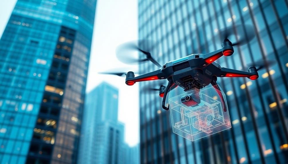
Drone Technology in Architectural Imaging
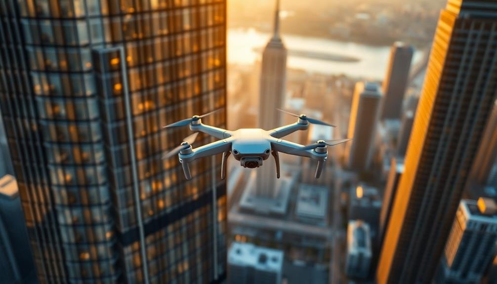
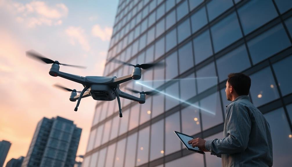
Drone technology has taken off in the world of architectural imaging, revolutionizing how we capture and analyze building exteriors. You'll find that drones offer unparalleled access to hard-to-reach areas, providing a bird's-eye view of structures that was once costly and time-consuming to obtain.
With high-resolution cameras mounted on drones, you can now capture detailed images and videos of building facades, roofs, and surrounding landscapes. This technology enables you to inspect for structural damage, assess maintenance needs, and create accurate 3D models of buildings.
You'll appreciate the efficiency of drone imaging, as it greatly reduces the time and resources required for thorough exterior assessments. It's safer too, eliminating the need for scaffolding or dangerous climbs.
Moreover, you can use drones equipped with thermal cameras to detect heat loss and energy inefficiencies in building envelopes. This data helps you identify areas for improvement in insulation and energy conservation.
As drone technology continues to advance, you'll see even more applications in architectural imaging, from augmented reality overlays to real-time data collection during construction projects. It's transforming the way you visualize, analyze, and maintain building exteriors.
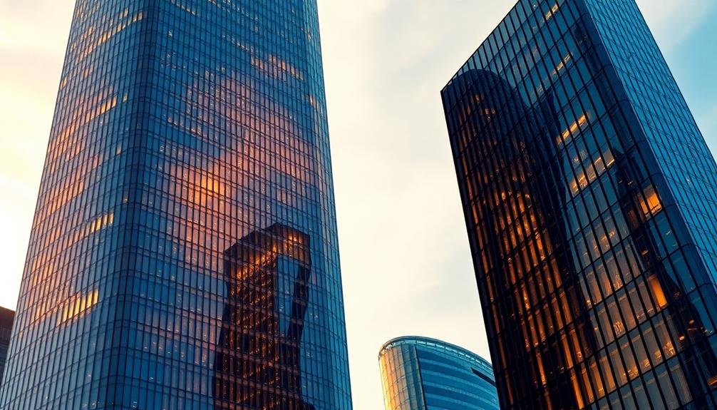
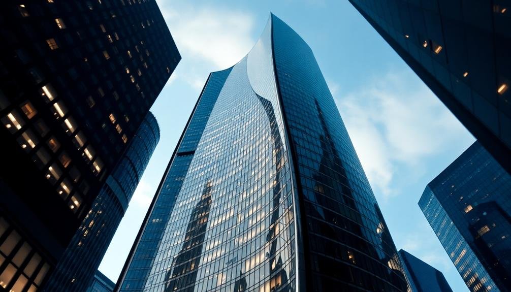
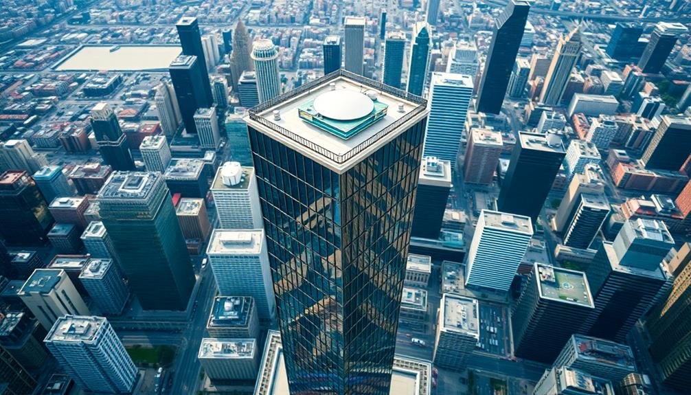
High-Resolution Aerial Building Captures

Today's high-resolution aerial building captures are pushing the boundaries of architectural imaging. You'll find that these cutting-edge techniques offer unprecedented detail and perspective for exterior building documentation.
By utilizing advanced camera systems mounted on helicopters or fixed-wing aircraft, you can now obtain incredibly sharp, high-resolution images of entire building facades and rooftops.
These aerial captures provide you with a thorough view of a structure's exterior, revealing intricate details that might be missed from ground level. You'll appreciate the ability to see how different architectural elements interact and how the building fits into its surroundings. The images are so clear that you can identify potential maintenance issues or assess the condition of hard-to-reach areas.
With high-resolution aerial captures, you're not limited to a single angle. You can create 3D models and orthomosaic maps, giving you a complete understanding of the building's exterior from every possible perspective.
This technology is particularly useful for large-scale projects, historic preservation efforts, and urban planning initiatives. It's revolutionizing the way architects, engineers, and property managers approach building assessment and design.
3D Modeling From Drone Footage
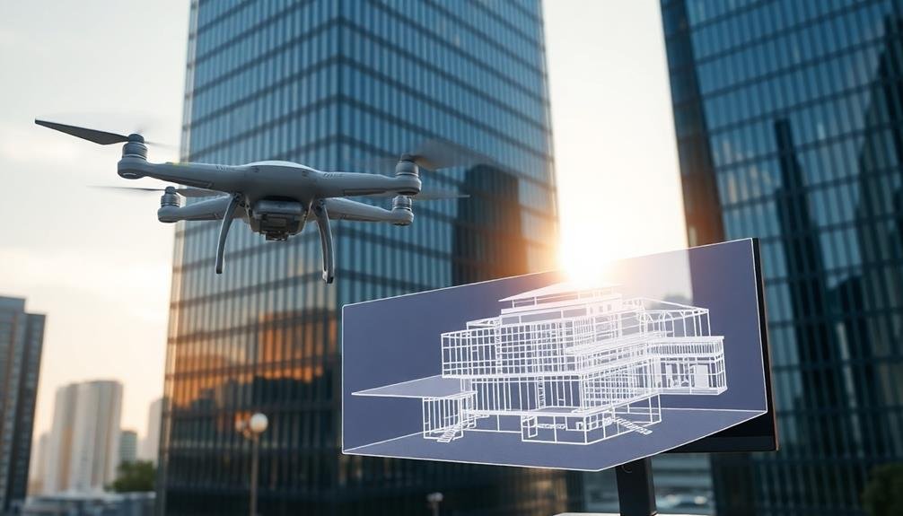
While aerial captures offer impressive results, you'll find that 3D modeling from drone footage takes building exterior imaging to the next level. This technique combines the mobility of drones with advanced photogrammetry software to create detailed, three-dimensional models of buildings.
You'll need a drone equipped with a high-resolution camera to capture multiple images of the building from various angles. As you fly the drone around the structure, it'll take hundreds of overlapping photos. These images are then processed using specialized software that analyzes the visual data and constructs a 3D model.
The resulting model provides an extensive view of the building's exterior, allowing you to examine intricate details, textures, and architectural features from any angle. You can rotate, zoom, and interact with the model, gaining insights that traditional photography can't offer.
This technology is particularly useful for architects, engineers, and property managers. It enables accurate measurements, helps identify structural issues, and facilitates virtual property tours.
You'll also find it valuable for historical preservation, as it creates a digital record of buildings in their current state.
Photogrammetry for Exterior Visualization
How can you capture the essence of a building's exterior without relying solely on drone technology? Enter photogrammetry, a powerful imaging technique that's revolutionizing exterior visualization. This method uses multiple overlapping photographs taken from various angles to create detailed 3D models of buildings.
You'll find that photogrammetry offers several advantages over traditional imaging methods. It's cost-effective, requiring only a high-quality camera and specialized software. You can capture intricate details of facades, textures, and architectural features with remarkable accuracy.
The technique also allows for seamless integration of ground-level and aerial imagery, providing a thorough view of the structure.
To implement photogrammetry, you'll need to systematically photograph the building from different positions, ensuring sufficient overlap between images. The software then analyzes these photos, identifying common points to reconstruct the 3D geometry. You can enhance the final model with texture mapping, creating a photorealistic representation of the building's exterior.
Photogrammetry's versatility extends beyond visualization. You can use it for precise measurements, condition assessments, and historical preservation efforts.
It's an invaluable tool for architects, engineers, and property managers seeking to document and analyze building exteriors with unprecedented detail and efficiency.
Dynamic Perspectives in Building Renderings
Building on the foundation of photogrammetry, dynamic perspectives take exterior renderings to the next level. They allow you to create immersive, interactive visualizations that bring building exteriors to life.
With dynamic perspectives, you're no longer limited to static images; instead, you can offer viewers a more engaging experience.
You'll find that dynamic perspectives enable you to showcase a building from multiple angles and viewpoints. This technique lets you highlight key architectural features, demonstrate how the structure interacts with its surroundings, and provide a more thorough understanding of the design.
You can create fly-through animations, 360-degree panoramas, and even virtual reality experiences.
Thermal Imaging for Facade Analysis
You'll find thermal imaging revolutionizing facade analysis in modern architecture.
This advanced technique allows you to detect heat loss, identify material defects, and assess energy efficiency with unprecedented accuracy.
Heat Loss Detection
Thermal imaging has revolutionized the way we assess building exteriors for heat loss. Using infrared cameras, you can now detect areas where heat escapes from a building, allowing for more efficient energy management and targeted improvements.
You'll find that these cameras capture the infrared radiation emitted by objects, translating temperature differences into visible color patterns. Warmer areas appear as brighter colors, typically reds and yellows, while cooler areas show up as blues and purples. This visual representation makes it easy to identify problem spots in a building's envelope.
When you're conducting a heat loss assessment, focus on common trouble areas like windows, doors, roofs, and wall joints.
You'll often discover issues such as inadequate insulation, air leaks, or thermal bridging. By pinpointing these specific areas, you can prioritize repairs and upgrades to improve the building's overall energy efficiency.
Material Defect Identification
Beyond heat loss detection, thermal imaging has become an essential tool for identifying material defects in building facades. You'll find this technology revolutionizing the way architects and engineers assess structural integrity and plan maintenance. By capturing temperature variations across surfaces, thermal cameras reveal hidden issues that aren't visible to the naked eye.
When you're examining a building's exterior, thermal imaging can help you detect:
- Moisture intrusion and water damage
- Delamination of materials
- Cracks and gaps in insulation
- Structural weaknesses in concrete or masonry
You'll appreciate how this non-invasive technique allows for quick and accurate assessments without the need for destructive testing. It's particularly useful for historic buildings where preservation is vital. By identifying problem areas early, you can prevent minor issues from escalating into major structural concerns.
As you interpret thermal images, you'll need to take into account factors like time of day, weather conditions, and material properties. With practice, you'll become adept at distinguishing between normal temperature variations and genuine defects. This skill will prove invaluable in maintaining the safety and longevity of buildings under your care.
Energy Efficiency Assessment
Almost every building owner today is concerned with energy efficiency, and thermal imaging has become an indispensable tool for evaluating facade performance.
You'll find that this non-invasive technique can quickly identify areas of heat loss, air leakage, and insulation deficiencies in your building's exterior.
To conduct a thermal assessment, you'll need a high-resolution infrared camera. Capture images of your building's facade during different weather conditions and times of day for a thorough analysis.
You'll see temperature variations displayed as color gradients, with warmer areas appearing brighter and cooler areas darker.
Pay attention to windows, doors, and joints, as these are common sources of energy loss.
You'll also want to look for inconsistencies in wall temperatures, which may indicate insulation problems.
Don't forget to examine the roof, as it's often a significant source of heat transfer.
Real-Time Exterior Condition Assessments
Real-time exterior condition assessments have revolutionized building maintenance and inspection processes. You'll find that these advanced imaging techniques offer unprecedented insight into a building's health, allowing for proactive maintenance and early problem detection.
By employing high-resolution cameras, thermal imaging, and AI-powered analysis, you can now monitor your building's exterior in real-time, identifying issues before they escalate.
These assessments provide numerous benefits:
- Instant detection of structural damage, including cracks, water infiltration, and material degradation
- Continuous monitoring of thermal performance, highlighting areas of heat loss or insulation failure
- Automated alerts for potential safety hazards, such as loose facades or compromised structural elements
- Data-driven maintenance scheduling, optimizing resource allocation and reducing costs
You'll appreciate how these real-time assessments streamline your building management processes.
By integrating this technology into your maintenance strategy, you're not just reacting to problems; you're anticipating and preventing them. This proactive approach extends the lifespan of your building, improves safety, and markedly reduces long-term maintenance costs.
With real-time exterior condition assessments, you're equipped to make informed decisions quickly, ensuring your building remains in top condition year-round.
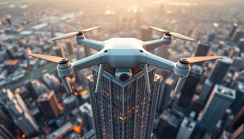
Drone-Assisted Building Information Modeling
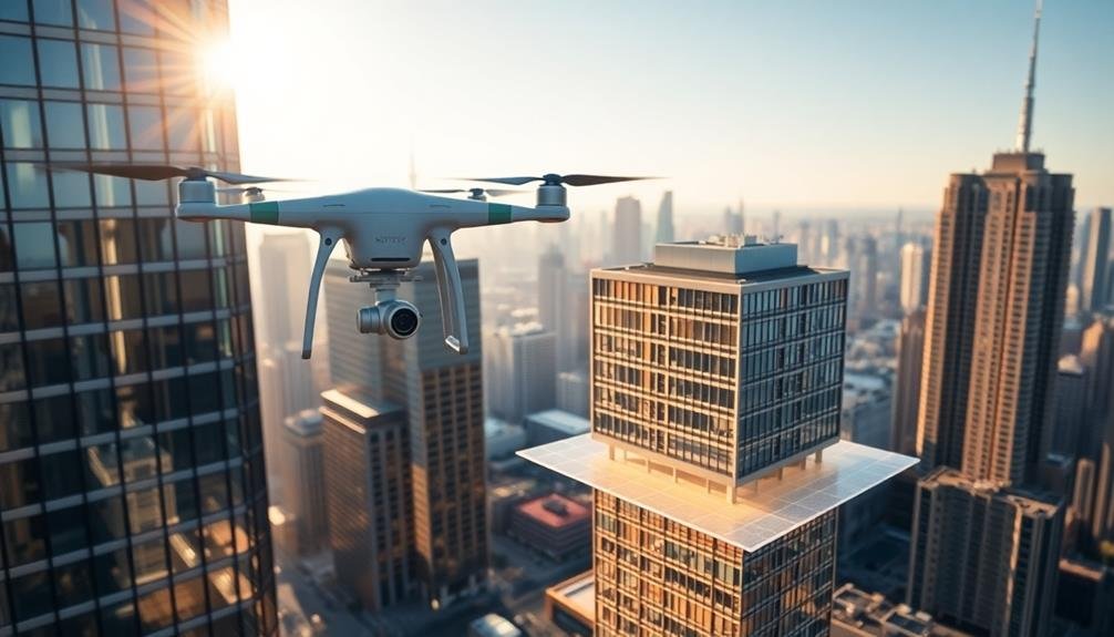
Drone-Assisted Building Information Modeling (BIM) takes exterior imaging to new heights, quite literally. You'll find that drones equipped with high-resolution cameras and LiDAR sensors can capture detailed data of building exteriors quickly and safely. This technology allows you to create accurate 3D models of structures, even in hard-to-reach areas.
By integrating drone-captured data into BIM software, you're able to:
| Benefits | Applications |
|---|---|
| Improved accuracy | Renovation planning |
| Time and cost savings | Structural analysis |
| Enhanced safety | Façade inspections |
| Extensive coverage | Historical preservation |
| Real-time data collection | Energy efficiency audits |
You'll appreciate how this method reduces the need for manual measurements and eliminates human error. It's particularly useful for large or complex buildings where traditional surveying methods are challenging. With drone-assisted BIM, you can identify potential issues early, plan maintenance more effectively, and make informed decisions about building upgrades. This technology isn't just changing how we view buildings; it's revolutionizing the entire construction and facility management industry.
Enhancing Presentations With Aerial Visuals
In addition to their practical applications, aerial visuals captured by drones are transforming how you present building projects. These high-quality images and videos offer a unique perspective that can captivate clients and stakeholders.
You'll find that incorporating aerial visuals into your presentations can greatly enhance your ability to communicate complex ideas and showcase your project's full potential.
When using aerial visuals to enhance your presentations, consider the following benefits:
- Contextual understanding: Aerial views provide a thorough look at the building's surroundings, helping viewers grasp the project's relationship to its environment.
- Dynamic storytelling: You can create engaging narratives by using flyover videos that guide viewers through different aspects of the building's design.
- Highlighting key features: Drones allow you to zoom in on specific architectural elements or innovative features that might be difficult to showcase from ground level.
- Before-and-after comparisons: Aerial imagery makes it easy to demonstrate the impact of renovations or new constructions by juxtaposing pre- and post-project views.
Overcoming Traditional Imaging Limitations
You've likely encountered challenges when capturing building exteriors due to light and shadow interplay.
These issues can obscure details or create unwanted contrasts in your images.
Additionally, weather conditions like rain, snow, or fog can greatly impact the quality and clarity of your architectural photography.
Light and Shadow Challenges
Traditional imaging techniques often struggle with the interplay of light and shadow on building exteriors.
You'll find that capturing the nuanced details of architectural features can be particularly challenging when dealing with harsh sunlight or deep shadows. These conditions can lead to overexposed highlights, loss of detail in shadowed areas, and an overall lack of depth in your images.
To overcome these light and shadow challenges, you'll need to employ advanced techniques and technologies.
Here are four strategies to enhance your building exterior imaging:
- HDR imaging: Combine multiple exposures to capture a wider dynamic range
- Time-lapse photography: Document how light interacts with the building throughout the day
- Infrared imaging: Reveal hidden details and thermal properties not visible to the naked eye
- 3D laser scanning: Create precise, shadow-free models of building exteriors
Weather-Related Imaging Issues
Weather can wreak havoc on traditional imaging techniques for building exteriors. Rain, snow, fog, and even harsh sunlight can distort images, making it challenging to capture accurate representations of buildings. You'll often find that these conditions create glare, reflections, or obscure important architectural details.
To overcome these weather-related issues, you can employ several new imaging techniques. Thermal imaging cameras allow you to capture heat signatures, revealing structural details even in foggy or low-light conditions.
LiDAR technology uses laser pulses to create precise 3D models of buildings, regardless of weather conditions. You'll find that multi-spectral imaging can penetrate through atmospheric interference, providing clear images in various weather scenarios.
Additionally, you can utilize AI-powered image enhancement algorithms to compensate for weather-related distortions. These tools can remove rain streaks, adjust for overexposure due to bright sunlight, or enhance contrast in foggy conditions.
Frequently Asked Questions
How Do Weather Conditions Affect Drone-Based Architectural Imaging?
Weather greatly impacts your drone-based architectural imaging. Wind can cause shaky footage, rain damages equipment, and poor visibility affects image quality. You'll need to plan shoots carefully, considering forecasts and ideal lighting conditions for the best results.
What Are the Legal Restrictions for Using Drones in Urban Areas?
You'll face strict regulations when using drones in urban areas. You're required to obtain permits, respect no-fly zones, maintain visual line-of-sight, and follow altitude restrictions. Don't forget privacy laws and property rights when filming.
Can These Techniques Be Applied to Interior Spaces as Well?
You can definitely apply imaging techniques to interior spaces. You'll find they're great for capturing detailed views of rooms, creating virtual tours, and highlighting architectural features. They're especially useful for real estate and interior design projects.
How Do Costs Compare Between Traditional and Drone-Based Architectural Imaging Methods?
You'll find drone-based imaging is often more cost-effective than traditional methods. It's faster, requires less equipment, and can cover larger areas quickly. However, initial drone costs and licensing fees may offset savings on smaller projects.
What Software Is Typically Used for Processing and Editing Drone-Captured Imagery?
You'll typically use software like Adobe Photoshop, Lightroom, or Pix4D for processing drone-captured imagery. DJI's proprietary apps, Agisoft Metashape, and RealityCapture are also popular choices. These tools help you edit, stitch, and enhance your aerial photos effectively.
In Summary
You've seen how new imaging techniques are revolutionizing building exterior visuals. By embracing drone technology, you'll capture high-resolution aerial images, create 3D models, and conduct real-time assessments. You're now equipped to overcome traditional limitations and enhance your presentations with dynamic perspectives. Don't hesitate to integrate these innovative methods into your architectural workflow. They'll elevate your projects, impress clients, and give you a competitive edge in the industry. Embrace the future of architectural imaging today.
As educators and advocates for responsible drone use, we’re committed to sharing our knowledge and expertise with aspiring aerial photographers.


Leave a Reply