Looking for the best drones to map your construction site? You've got excellent options. The DJI Phantom 4 RTK offers centimeter-level accuracy, while the Yuneec H520E excels in tough weather. For large areas, consider the fixed-wing Sensefly Ebee X. The Autel EVO II Pro boasts a 6K camera, and the DJI Matrice 300 RTK carries multiple payloads. Don't overlook the compact Parrot ANAFI USA with its thermal imaging capabilities. Finally, the Wingtra One combines VTOL convenience with fixed-wing efficiency. Each drone brings unique features to enhance your site mapping and progress tracking. Dive deeper to find the perfect fit for your project needs.
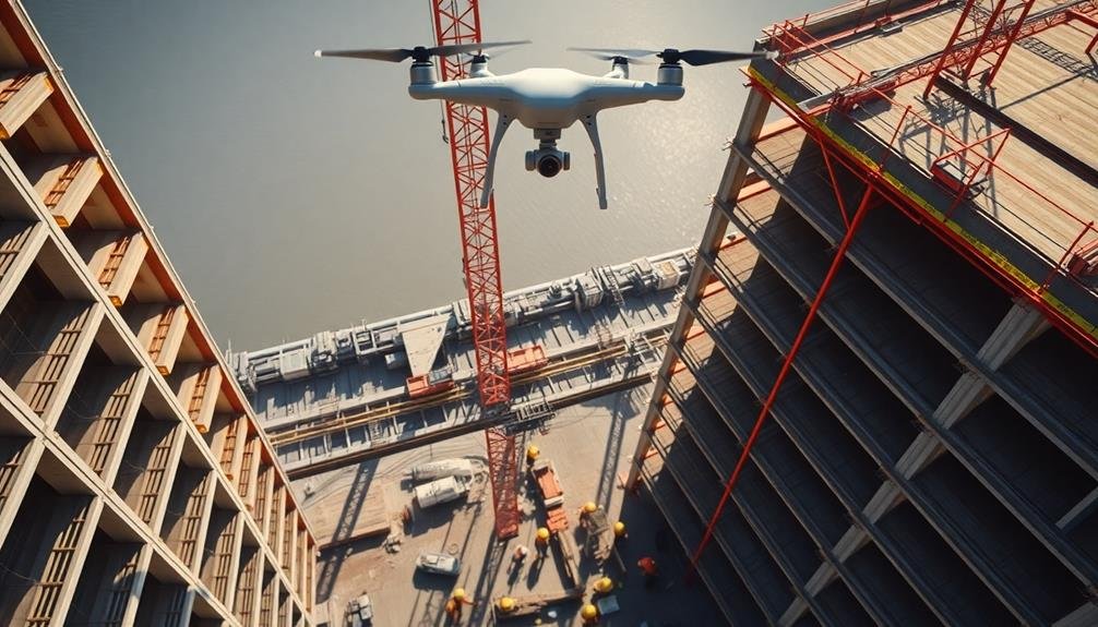
DJI Phantom 4 RTK
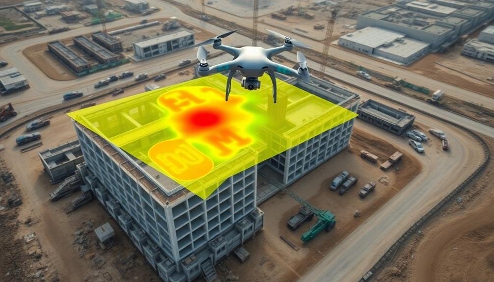
The DJI Phantom 4 RTK stands out as a top-tier drone for construction site mapping. It's designed specifically for surveying and mapping applications, offering centimeter-level positioning accuracy. You'll find its real-time kinematic (RTK) technology invaluable for precise data collection.
This drone features a 1-inch 20MP CMOS sensor that captures high-resolution images, essential for creating detailed site maps. It's equipped with a mechanical shutter, reducing image distortion during flight. The Phantom 4 RTK can fly for up to 30 minutes, allowing you to cover large construction sites efficiently.
You'll appreciate its TimeSync system, which aligns the flight controller, camera, and RTK module. This guarantees each image is tagged with precise positioning data. The drone's D-RTK 2 Mobile Station provides real-time differential corrections, enhancing accuracy even in challenging environments.
The Phantom 4 RTK's GS RTK app offers intuitive mission planning and data management. You can easily create flight paths, set waypoints, and adjust parameters.
Post-flight, you'll find the data integration seamless with popular mapping software, streamlining your workflow and improving overall project efficiency.
Yuneec H520E
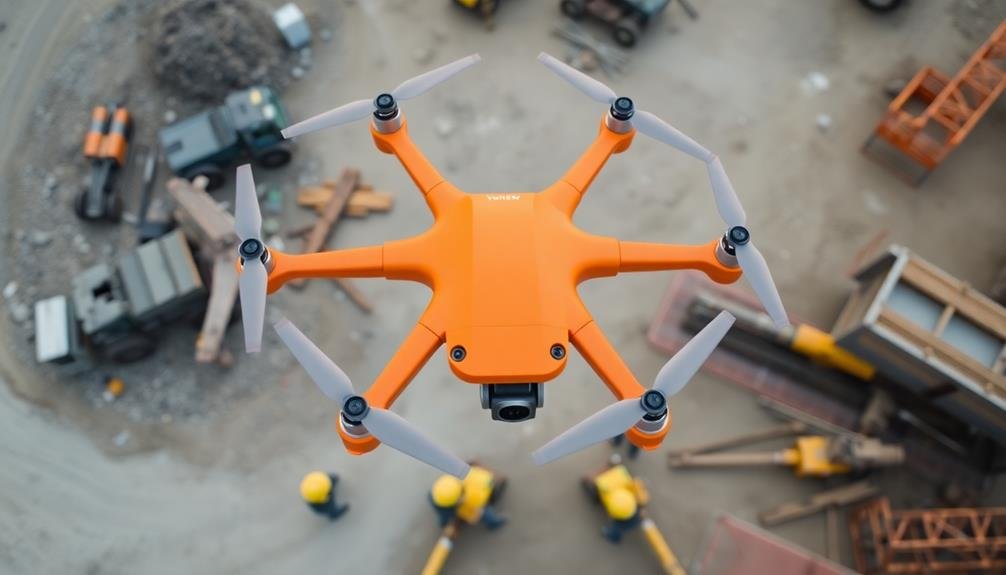
When you're looking for advanced thermal imaging in a construction drone, the Yuneec H520E stands out.
You'll appreciate its ability to capture precise thermal data, which is essential for identifying heat loss, electrical issues, and structural weaknesses.
The H520E's robust flight performance guarantees stable operation in challenging conditions, allowing you to map large construction sites with confidence.
Advanced Thermal Imaging Capabilities
For construction professionals seeking cutting-edge thermal imaging capabilities, the Yuneec H520E stands out as a top choice. This drone's advanced thermal imaging system allows you to detect heat signatures, identify potential issues, and monitor energy efficiency on construction sites with remarkable accuracy.
The H520E's thermal camera can capture high-resolution infrared images and videos, enabling you to:
- Identify insulation gaps, heat leaks, and moisture intrusion in buildings
- Detect electrical hotspots and potential fire hazards in wiring systems
- Assess the efficiency of HVAC systems and locate areas of energy loss
You'll appreciate the drone's ability to switch seamlessly between visual and thermal imaging modes, giving you an extensive view of your construction site.
The H520E's thermal data can be easily integrated into your mapping software, allowing for detailed analysis and reporting.
With its rugged design and precise controls, you can confidently navigate the drone through complex construction environments.
The H520E's thermal imaging capabilities not only enhance safety protocols but also contribute to more efficient project management and quality control processes.
Robust Flight Performance
Beyond its impressive thermal imaging capabilities, the Yuneec H520E shines in its robust flight performance. You'll appreciate its ability to maintain stability in challenging weather conditions, including winds up to 35 mph.
This drone's six-rotor design provides enhanced reliability and redundancy, guaranteeing your mapping missions continue even if one motor fails.
The H520E boasts a flight time of up to 28 minutes, allowing you to cover larger construction sites without frequent battery changes. Its intelligent flight modes, such as waypoint navigation and orbit, make it easy to capture consistent, repeatable data for progress tracking.
You'll find the drone's obstacle avoidance system particularly useful in complex construction environments, helping prevent costly collisions.
With its IP43 rating, the H520E can operate in light rain and dusty conditions, a common occurrence on construction sites. The drone's precise RTK GPS system ensures centimeter-level accuracy in your mapping data.
You'll also benefit from the H520E's quick-release propellers and modular design, which facilitate rapid deployment and easy maintenance in the field.
These features combine to make the Yuneec H520E a reliable workhorse for construction site mapping.
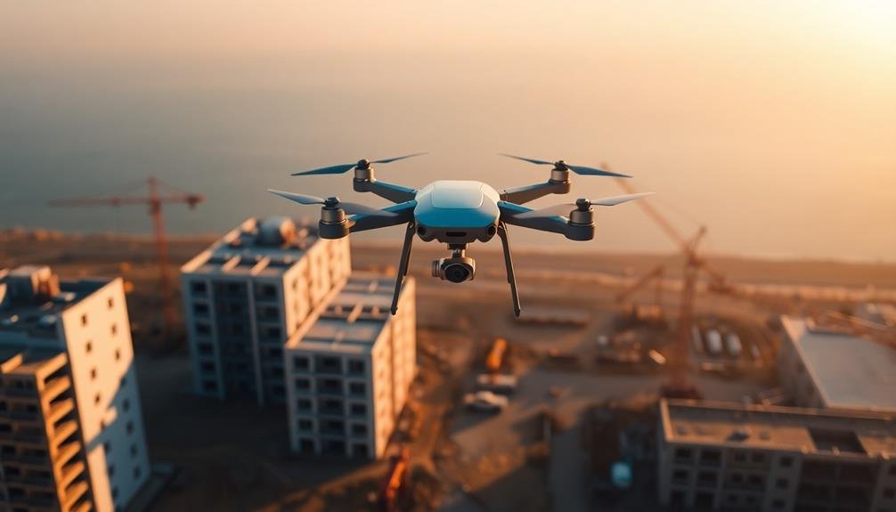
Sensefly Ebee X
You'll find the Sensefly Ebee X to be a powerhouse for construction site mapping with its advanced capabilities.
This fixed-wing drone can cover large areas efficiently, thanks to its impressive flight time of up to 90 minutes.
Its precision mapping features and ability to carry multiple sensor payloads make it an excellent choice for detailed site surveys and 3D modeling.
Advanced Mapping Capabilities
The Sensefly Ebee X's cutting-edge mapping technology sets a new standard for construction site surveying. You'll benefit from its advanced capabilities, which include high-resolution imagery, precise 3D modeling, and efficient data processing. The drone's ability to cover large areas quickly makes it ideal for monitoring progress on expansive construction projects.
With the Ebee X, you can generate detailed orthomosaic maps and digital elevation models, providing valuable insights into site topography and changes over time. Its RTK/PPK functionality guarantees centimeter-level accuracy, essential for precise measurements and planning.
The drone's advanced mapping capabilities offer several advantages:
- Reduced site visits: You'll minimize the need for on-site inspections, saving time and resources.
- Improved safety: Aerial mapping reduces risks associated with manual surveys in hazardous areas.
- Enhanced decision-making: You'll have access to up-to-date, thorough data for informed project management.
The Ebee X's user-friendly software allows for easy flight planning and data analysis. You can quickly generate reports and share insights with stakeholders, streamlining communication and project coordination.
Its ability to integrate with existing workflow systems guarantees seamless incorporation into your construction management processes.
Long Flight Time
While many drones struggle with short flight times, the Sensefly Ebee X stands out with its exceptional endurance. You'll appreciate its ability to stay airborne for up to 90 minutes, allowing you to cover larger construction sites in a single flight. This extended flight time means fewer battery changes and more efficient mapping sessions.
The Ebee X's long flight time is particularly beneficial for construction projects spanning vast areas. You can capture more data in one go, reducing the need for multiple flights and saving valuable time on-site. Here's a comparison of the Ebee X's flight time with other popular mapping drones:
| Drone Model | Flight Time | Max Range | Max Speed | Payload |
|---|---|---|---|---|
| Sensefly Ebee X | 90 min | 25 km | 110 km/h | 500g |
| DJI Phantom 4 RTK | 30 min | 7 km | 58 km/h | 350g |
| Yuneec H520 | 28 min | 2 km | 72 km/h | 500g |
| Parrot Anafi USA | 32 min | 4 km | 55 km/h | 400g |
| DJI Matrice 300 RTK | 55 min | 15 km | 83 km/h | 9000g |
You'll find that the Ebee X's extended flight time greatly enhances your mapping capabilities, allowing for more thorough and efficient site surveys.
Autel EVO II Pro
Designed for professional-grade aerial mapping, the Autel EVO II Pro stands out as a top contender in the construction drone market. With its 6K camera and 1-inch sensor, you'll capture incredibly detailed images for precise site mapping. The drone's obstacle avoidance system and GPS positioning guarantee safe and accurate flights, even in challenging construction environments.
You'll appreciate the EVO II Pro's versatility and performance:
- 40-minute flight time for extensive site coverage
- 5.5-mile transmission range for large-scale projects
- Intelligent flight modes for effortless data collection
The drone's rugged design withstands harsh conditions, making it ideal for construction sites. Its foldable structure allows for easy transport, while the intuitive controller provides smooth operation.
You'll find the EVO II Pro's mapping capabilities particularly useful, as it can create 2D orthomosaic maps and 3D models with high accuracy.
When it comes to data processing, the Autel Explorer app offers user-friendly tools for flight planning and image analysis. You can easily export your mapping data to popular software for further processing.
DJI Matrice 300 RTK
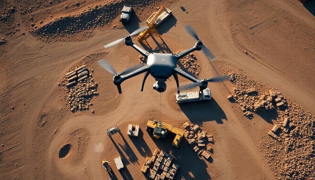
Built for industrial-grade performance, DJI's Matrice 300 RTK stands out as a powerhouse in construction site mapping. This drone offers unparalleled versatility with its ability to carry up to three payloads simultaneously, allowing you to capture extensive data in a single flight.
You'll appreciate the M300 RTK's impressive 55-minute flight time, enabling wide site coverage without frequent battery changes. Its advanced obstacle avoidance system and IP45 rating guarantee safe operation in challenging construction environments.
| Feature | Benefit |
|---|---|
| 15km transmission range | Wide area coverage |
| 6-directional sensing | Enhanced safety |
| Hot-swappable batteries | Reduced downtime |
| RTK positioning | Centimeter-level accuracy |
The drone's compatibility with various sensors, including the Zenmuse P1 for photogrammetry and L1 for LiDAR mapping, makes it a versatile tool for your construction projects. You can easily generate highly accurate 3D models, topographic maps, and progress reports.
While the Matrice 300 RTK comes with a higher price tag, its robust build, advanced features, and compatibility with multiple payloads make it an excellent investment for large-scale construction mapping projects where precision and efficiency are paramount.
Parrot ANAFI USA
For a more compact and lightweight option in construction site mapping, the Parrot ANAFI USA offers impressive capabilities. This drone weighs just 1.1 pounds, making it highly portable and easy to deploy on construction sites.
Despite its small size, it boasts a 32x zoom camera with 4K HDR video capabilities, allowing you to capture detailed imagery of your project. The ANAFI USA's thermal imaging camera is particularly useful for construction site inspections, enabling you to detect heat signatures and potential issues in buildings or equipment.
You'll appreciate its 32-minute flight time, which provides ample opportunity to survey large areas without frequent battery changes.
Here are three key features that make the Parrot ANAFI USA stand out:
- IP53 dust and water resistance rating for reliable performance in various weather conditions
- AIRINOV cloud-based data processing for efficient mapping and 3D modeling
- Built-in cybersecurity measures to protect your sensitive project data
With its compact design and advanced features, the Parrot ANAFI USA is an excellent choice for construction professionals who need a versatile, secure, and easy-to-use drone for site mapping and progress monitoring.
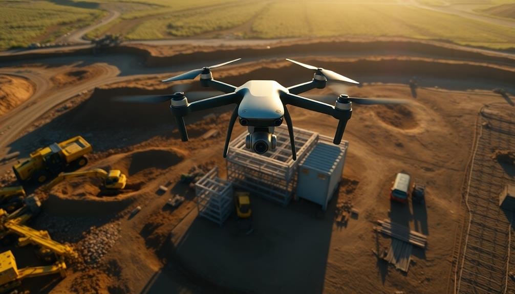
Wingtra One
The Wingtra One stands out as a powerhouse in the world of construction site mapping drones. This vertical take-off and landing (VTOL) drone combines the best of both worlds: the ease of a multirotor and the efficiency of a fixed-wing aircraft.
You'll appreciate its ability to cover large areas quickly, making it ideal for extensive construction projects.
With a flight time of up to 59 minutes, the Wingtra One can map up to 400 hectares in a single flight. It's equipped with a high-quality Sony RX1R II 42MP camera, ensuring you capture incredibly detailed imagery for your site maps.
The drone's PPK (Post-Processed Kinematics) technology delivers centimeter-level accuracy without the need for ground control points.
You'll find the Wingtra One easy to operate, thanks to its intuitive mission planning software and fully autonomous flights. It's also built to withstand challenging weather conditions, with the ability to fly in winds up to 45 km/h.
When you need to map large construction sites efficiently and accurately, the Wingtra One is a top-tier choice that'll markedly streamline your mapping processes.
Frequently Asked Questions
How Long Does It Take to Learn Drone Mapping for Construction Sites?
You can learn basic drone mapping for construction sites in 1-2 months. With dedicated practice, you'll master flight skills, software operation, and data interpretation. Ongoing learning is key as technology and regulations evolve.
What Software Is Best for Processing Drone-Captured Construction Site Data?
You'll find Pix4D and DroneDeploy are top choices for processing construction site drone data. They offer user-friendly interfaces, accurate mapping, and 3D modeling capabilities. Agisoft Metashape and Propeller are also excellent options to reflect on.
Are There Any Legal Restrictions for Using Drones on Construction Sites?
Yes, there are legal restrictions for using drones on construction sites. You'll need to follow FAA regulations, obtain proper licenses, respect privacy laws, and secure necessary permits. Always check local ordinances before flying your drone on-site.
How Often Should Drone Mapping Be Conducted During a Construction Project?
You should conduct drone mapping regularly, typically weekly or bi-weekly, depending on your project's pace and complexity. It's essential to capture progress accurately, so adjust frequency based on your site's specific needs and timeline requirements.
Can Drones Be Used for Indoor Mapping of Construction Sites?
Yes, you can use drones for indoor construction site mapping. They're equipped with sensors and cameras that work well in enclosed spaces. You'll need to guarantee proper lighting and consider obstacles, but it's an effective way to track progress indoors.
In Summary
You've now seen seven top drones for construction site mapping. Whether you're looking for precision, endurance, or versatility, there's an option to fit your needs. Remember to take into account factors like flight time, camera quality, and software compatibility when making your choice. Don't forget to check local regulations before flying. With the right drone, you'll streamline your site mapping process and boost project efficiency. Happy mapping!
As educators and advocates for responsible drone use, we’re committed to sharing our knowledge and expertise with aspiring aerial photographers.


Leave a Reply