Unmanned technology is revolutionizing construction tracking in three key ways. First, aerial mapping and surveying using drones equipped with high-resolution cameras and LiDAR sensors capture detailed topographical data quickly and safely. Second, real-time progress monitoring combines drone imagery with AI-powered analysis to compare actual progress against schedules, enabling swift decision-making. Third, enhanced safety inspections utilize robots and drones to access hazardous areas, performing thorough checks without risking human lives. These innovations dramatically improve efficiency, accuracy, and safety in construction projects. Explore further to discover how these technologies can transform your construction management practices.
Aerial Mapping and Surveying
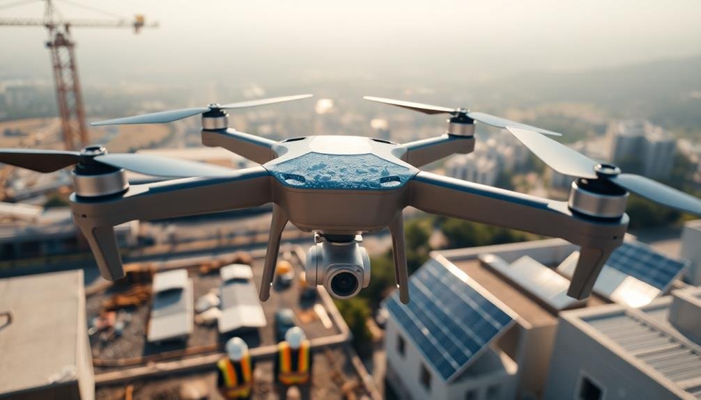
Precision is the hallmark of modern aerial mapping and surveying in construction. You'll find that unmanned aerial vehicles (UAVs) or drones equipped with high-resolution cameras and LiDAR sensors are transforming this field.
These devices can quickly capture detailed topographical data, creating accurate 3D models of construction sites.
You'll appreciate how drones can access hard-to-reach areas, reducing safety risks for surveyors. They're also more cost-effective and time-efficient than traditional ground-based methods.
With drone technology, you can generate orthomosaic maps, digital elevation models, and point clouds in a fraction of the time it once took.
Real-time data collection allows you to track progress and identify potential issues early. You'll be able to compare as-built conditions with design plans, ensuring construction accuracy.
Drone-captured imagery can also be used for site inspections, environmental assessments, and monitoring erosion control measures.
Real-Time Progress Monitoring
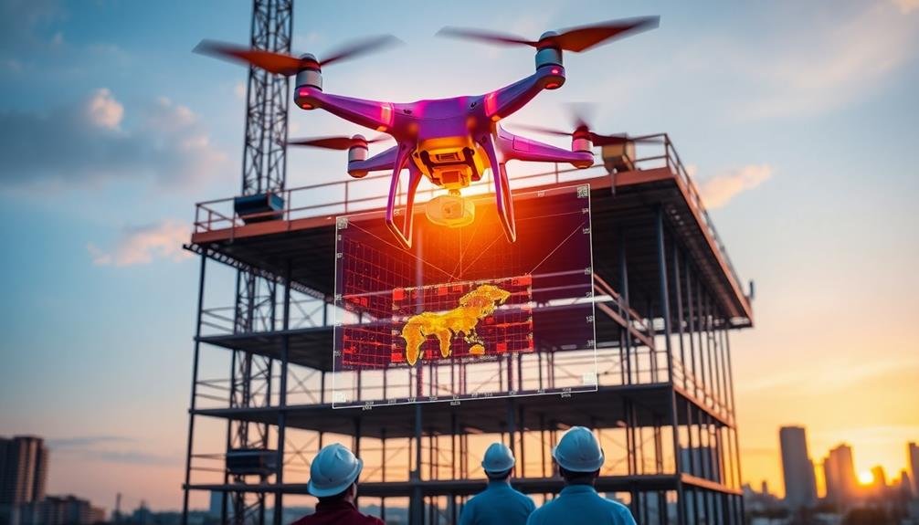
As construction projects unfold, real-time progress monitoring has become an indispensable tool for project managers and stakeholders. Unmanned technology has revolutionized this aspect of construction tracking, offering unprecedented insights into project development.
You'll find that drones equipped with high-resolution cameras and sensors can capture detailed imagery and data of your construction site daily. These aerial surveys allow you to compare actual progress against planned schedules, helping you identify delays or discrepancies quickly.
You can also use ground-based robots to navigate through the site, collecting data on specific areas that may be challenging for aerial devices.
With the integration of artificial intelligence and machine learning, you're able to analyze this data in real-time. You'll receive automated alerts for potential issues, allowing for swift decision-making and problem-solving.
This technology also enables you to create accurate 3D models of your project as it progresses, giving you an extensive view of the construction process.
Enhanced Safety Inspections
Unmanned technology has transformed safety inspections in construction, offering three key advantages: reduced human risk, increased thoroughness, and improved data collection.
You'll find that drones and robots can access hazardous or hard-to-reach areas without putting inspectors in danger. They can navigate tight spaces, scale tall structures, and explore unstable environments, all while capturing high-resolution images and videos.
You'll appreciate the consistency and detail these devices bring to inspections. They don't get tired or distracted, ensuring every nook and cranny is examined with the same level of scrutiny.
Advanced sensors and cameras can detect issues that might escape the human eye, such as hairline cracks or thermal anomalies.
The data collected by unmanned tech is invaluable. You'll have access to precise measurements, 3D models, and extensive reports.
This information is easily shareable and can be compared over time to track changes and predict potential issues. With AI-powered analysis, you'll quickly identify patterns and trends, allowing for proactive maintenance and risk mitigation.
Ultimately, you'll create safer work environments and more resilient structures through these enhanced safety inspections.
Frequently Asked Questions
How Does Unmanned Technology Integrate With Existing Construction Management Software?
You'll find that unmanned tech seamlessly integrates with your existing construction management software. It'll provide real-time data, update project timelines, and sync with scheduling tools, enhancing your overall efficiency and decision-making processes on the job site.
What Are the Costs Associated With Implementing Unmanned Tech in Construction Projects?
You'll face initial costs for hardware, software, and training. Drones and sensors can range from $1,000 to $50,000+. Ongoing expenses include maintenance, data storage, and software subscriptions. However, long-term savings often outweigh these investments.
How Do Weather Conditions Affect the Performance of Unmanned Devices in Construction?
Weather can greatly impact your unmanned devices on construction sites. You'll find rain, snow, and extreme temperatures affect sensors and battery life. Wind can disrupt drones, while dust and debris may interfere with cameras and other equipment.
What Training Is Required for Construction Personnel to Operate Unmanned Technology Effectively?
You'll need specialized training to operate unmanned tech in construction. It typically includes safety protocols, device operation, data interpretation, and regulatory compliance. You'll also learn troubleshooting skills and how to integrate the tech with existing systems.
How Does Unmanned Tech Impact Job Roles and Employment in the Construction Industry?
You'll see job roles shift as unmanned tech enters construction. It'll create new positions for drone operators and data analysts, while reducing manual labor needs. You'll need to adapt and upskill to stay competitive in the changing industry.
In Summary
You've seen how unmanned technology is transforming construction tracking. By embracing aerial mapping, real-time monitoring, and enhanced safety inspections, you'll boost your project's efficiency and accuracy. Don't hesitate to integrate these innovative tools into your workflows. They'll save you time, reduce risks, and provide invaluable insights. As the industry evolves, staying ahead with unmanned tech will give you a competitive edge. It's time to revolutionize your approach to construction tracking.
As educators and advocates for responsible drone use, we’re committed to sharing our knowledge and expertise with aspiring aerial photographers.


Leave a Reply