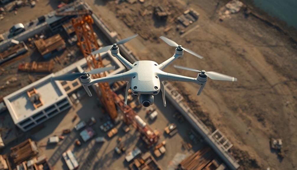
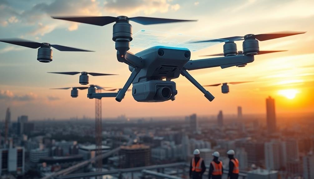
Drones have become your aerial allies in construction site management, offering unparalleled views and real-time data collection. These "eyes in the sky" provide high-resolution images and videos for accurate site monitoring, enabling 3D modeling to compare actual vs. planned progress. You'll benefit from enhanced safety measures, as drones identify potential hazards and monitor high-risk areas without putting workers in danger. They streamline data collection, leading to quicker decision-making and significant time and cost savings. With drones, you'll enjoy efficient issue identification, thorough site mapping, and improved stakeholder communication through visual updates. The future of construction progress tracking is soaring to new heights.
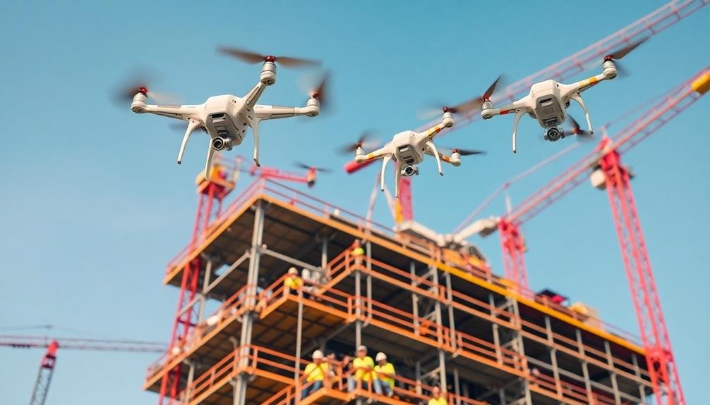
Drone Technology in Construction
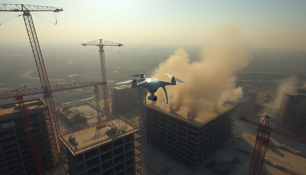
In recent years, drone technology has revolutionized construction site monitoring. You'll find these unmanned aerial vehicles buzzing over project sites, capturing high-resolution images and videos that provide invaluable insights into project progress.
Drones offer a bird's-eye view of the entire site, allowing you to spot potential issues, track material deliveries, and monitor worker safety from a unique perspective.
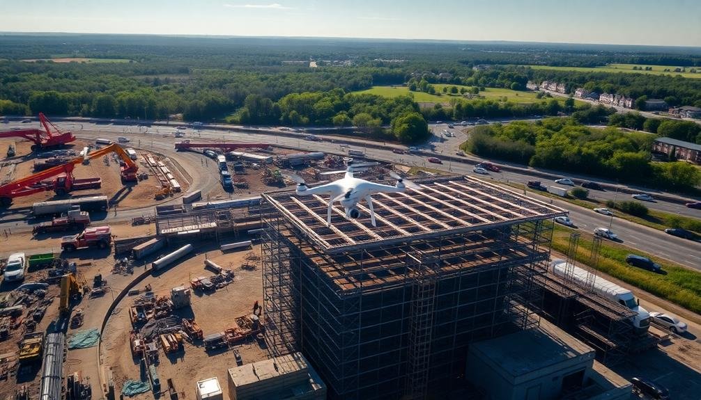
You can use drones to create 3D models of your construction site, which help in comparing actual progress to planned timelines. They're also excellent for conducting site surveys and inspections, especially in hard-to-reach areas or potentially dangerous locations. This not only improves safety but also saves time and reduces costs associated with manual inspections.
Drones equipped with thermal cameras can detect heat leaks, moisture issues, or electrical problems that aren't visible to the naked eye. You'll find them useful for monitoring environmental impact and ensuring compliance with regulations.
As drone technology continues to advance, you can expect even more applications in construction, such as automated site security patrols and real-time data transmission to project management software.
Benefits of Aerial Inspections
Aerial inspections offer significant advantages for your construction projects.
You'll enhance safety measures by reducing the need for workers to access dangerous areas, while simultaneously cutting down on time and costs associated with manual inspections.
These bird's-eye views provide thorough site assessments, allowing you to identify potential issues and track progress more efficiently than traditional ground-based methods.
Enhanced Safety Measures
Safety supervisors can breathe easier with the advent of aerial inspections on construction sites. You'll find that drones equipped with high-resolution cameras and sensors can quickly identify potential hazards that might be overlooked from ground level.
These aerial tools allow you to spot unstable scaffolding, unsecured equipment, or workers not using proper safety gear before accidents occur. You can use drones to monitor high-risk areas like rooftops or crane operations without putting additional personnel in danger.
They're also excellent for tracking the movement of heavy machinery and guaranteeing safe traffic flow on busy sites. By capturing real-time footage, you'll be able to address safety concerns immediately and provide visual evidence for training purposes.
Aerial inspections enable you to create more thorough safety plans by offering a bird's-eye view of the entire site. You'll gain insights into workflow patterns and identify bottlenecks that could lead to accidents.
This technology also helps you guarantee compliance with safety regulations by providing clear documentation of site conditions. By implementing drone-assisted safety measures, you're not just improving site security; you're also boosting efficiency and potentially reducing insurance costs.
Time and Cost Savings
While traditional inspection methods can be time-consuming and expensive, aerial inspections offer significant time and cost savings for construction projects.
You'll find that drones can cover large areas quickly, reducing the need for multiple site visits and cutting down on travel expenses. They're able to access hard-to-reach places without the need for scaffolding or other equipment, saving both time and money on setup.
You'll appreciate how aerial inspections streamline data collection and analysis. The high-resolution images and videos captured by drones can be processed and shared instantly, allowing for quicker decision-making and problem-solving.
This rapid turnaround means you can address issues promptly, potentially avoiding costly delays in your project timeline.
Moreover, you'll see a reduction in labor costs associated with manual inspections. Fewer personnel are required on-site, and the risk of workplace accidents is minimized.
By integrating aerial inspections into your construction process, you're not only saving money on immediate inspection costs but also potentially avoiding expensive rework and delays down the line.
The efficiency gains you'll experience can lead to faster project completion and improved overall profitability.
Regulatory Compliance for Drone Usage
Maneuvering the regulatory landscape is vital when using drones on construction sites. You'll need to comply with the Federal Aviation Administration's (FAA) regulations, which include obtaining a Part 107 remote pilot certificate and registering your drone.
Make certain your pilots are well-trained and familiar with local airspace restrictions. Before each flight, you must conduct a pre-flight check and assess weather conditions. Always maintain visual line of sight with your drone and respect privacy laws by avoiding flying over people or private property without permission.
Be aware of no-fly zones and temporary flight restrictions in your area. You'll need to keep detailed flight logs and maintenance records for your drones. These documents are essential for demonstrating compliance during inspections and can help protect you in case of accidents or legal issues.
Don't forget to secure proper insurance coverage for your drone operations. This protects you from potential liability and may be required by some clients or local regulations.
Stay updated on changing laws and industry best practices to make certain your drone program remains compliant and effective.
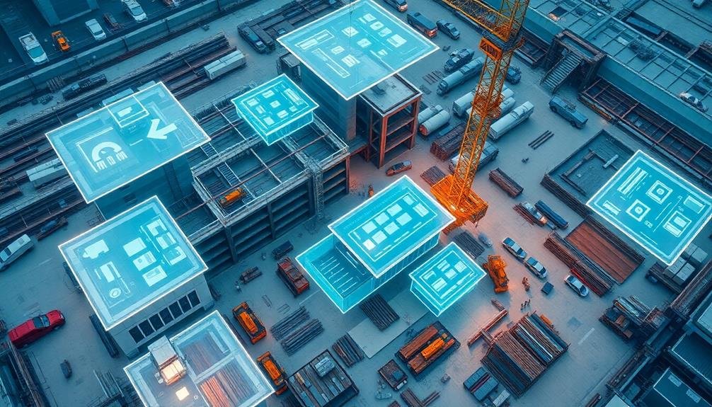
Site Mapping and Surveying
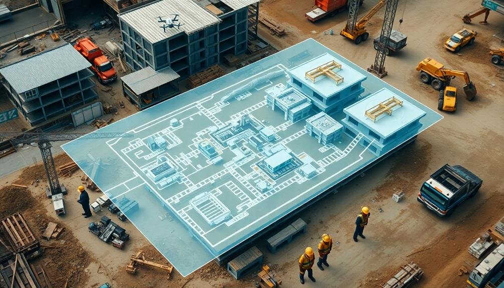
Drones have revolutionized site mapping and surveying in the construction industry. You'll find that these aerial devices can capture high-resolution images and data from various angles, providing a thorough view of your construction site.
With drone technology, you're able to create accurate 3D models, topographical maps, and orthomosaic images in a fraction of the time it would take using traditional methods.
You can use drones to conduct regular site surveys, tracking progress and identifying potential issues before they become costly problems. They'll help you measure stockpiles, calculate volumes, and assess terrain conditions with remarkable precision.
You'll also appreciate the ability to access hard-to-reach or dangerous areas without putting workers at risk.
Real-Time Progress Monitoring
You'll find real-time progress monitoring revolutionizes construction site management through instant data capture.
With this technology, you're able to access visual project updates at any time, giving you a clear picture of the site's current state.
You can quickly identify issues and inefficiencies, allowing for prompt corrective actions and improved overall project efficiency.
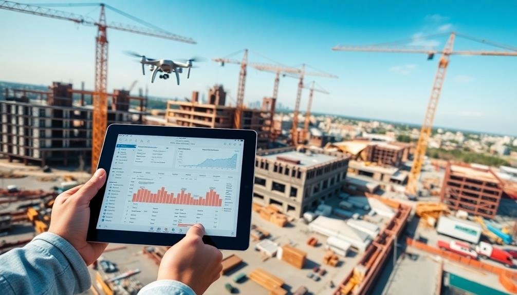
Instant Data Capture
Capturing real-time data has revolutionized construction site progress monitoring. You'll find that drones and advanced imaging technologies now enable instant data capture, providing up-to-the-minute information on your project's status.
These tools allow you to collect high-resolution images, 3D scans, and thermal data in a matter of minutes, rather than hours or days.
With instant data capture, you're able to quickly identify potential issues, track material usage, and monitor worker productivity. You can easily compare current site conditions to your project plans, ensuring everything's on track. This real-time information empowers you to make informed decisions rapidly, potentially saving time and money.
The data you collect isn't just visual. Sensors and IoT devices can capture environmental conditions, equipment usage, and safety metrics. This all-encompassing approach gives you a holistic view of your site's progress.
Visual Project Updates
Visualizing project progress in real-time has become a game-changer for construction site management. With drone technology, you can now access up-to-date visual representations of your project's status. These aerial views provide a thorough overview that's impossible to achieve from ground level.
You'll receive high-resolution images and videos that capture every detail of your construction site. These visual updates allow you to track progress, identify potential issues, and make informed decisions quickly. You can compare current site conditions with your project plans, ensuring everything is on track and aligned with your timeline.
Real-time visual updates also improve communication among stakeholders. You can easily share these images with clients, investors, and team members, keeping everyone informed and aligned. This transparency builds trust and reduces misunderstandings.
Moreover, you'll have a valuable historical record of your project's progression. This visual documentation can be essential for dispute resolution, quality control, and future planning.
Efficient Issue Identification
While visual updates provide an excellent overview, real-time progress monitoring takes construction site management to the next level. You'll be able to identify issues as they arise, allowing for immediate intervention and problem-solving. This proactive approach markedly reduces delays and cost overruns.
By utilizing drones equipped with advanced sensors and AI technology, you can track various aspects of your construction project in real-time. These include:
| Aspect | Monitoring Capability |
|---|---|
| Material Usage | Track inventory levels |
| Worker Safety | Detect potential hazards |
| Equipment Utilization | Optimize machinery deployment |
| Environmental Compliance | Monitor dust and noise levels |
With this data at your fingertips, you'll make informed decisions quickly. You can reallocate resources, adjust schedules, and address safety concerns before they escalate. Real-time monitoring also enhances communication between on-site teams and project managers, ensuring everyone's on the same page.
Moreover, you'll have a thorough digital record of the project's progress, which proves invaluable for dispute resolution and future planning. By embracing real-time progress monitoring, you're not just building structures; you're constructing a more efficient, safe, and profitable future for your construction business.
Safety Enhancements Through Drones
Safety on construction sites has taken a remarkable leap forward with the integration of drone technology. You'll find that drones are revolutionizing how you monitor and manage site safety. They provide a bird's-eye view of potential hazards, allowing you to identify risks before they escalate into accidents.
With drones, you can conduct regular aerial inspections of hard-to-reach areas, reducing the need for workers to climb scaffolding or access dangerous zones. You'll spot structural issues, equipment malfunctions, or unsafe practices quickly and efficiently.
Thermal imaging cameras on drones help you detect heat anomalies, preventing fires or electrical failures. You can use drones to monitor worker behavior and guarantee compliance with safety protocols.
They're also invaluable for emergency response, providing real-time footage to first responders. You'll appreciate how drones assist in site security, deterring theft and unauthorized access.
Data Collection and Analysis
As construction sites embrace digital transformation, data collection and analysis have become pivotal in driving efficiency and decision-making. Drones equipped with high-resolution cameras and sensors capture vast amounts of site data quickly and accurately. You'll find that this aerial perspective provides a thorough view of your project's progress, allowing you to identify potential issues before they escalate.
With advanced software, you can process the collected data into 3D models, orthomosaic maps, and detailed reports. These tools enable you to track changes over time, measure stockpiles, and calculate earthwork volumes with precision. You'll be able to compare actual progress against your project timeline, helping you stay on schedule and budget.
Machine learning algorithms can analyze the data to predict potential delays, safety hazards, or quality issues. You can use these insights to make informed decisions, allocate resources more effectively, and optimize your workflow.
Cost-Effectiveness of Drone Inspections
Drone inspections offer a cost-effective alternative to traditional methods for monitoring construction site progress. You'll find that drones can cover large areas quickly and efficiently, reducing the time and labor required for manual inspections.
By using drones, you're able to access hard-to-reach or dangerous areas without putting workers at risk, potentially lowering insurance costs and improving overall safety.
When considering the cost-effectiveness of drone inspections, you should take into account the following factors:
- Initial investment in equipment and training
- Reduced labor costs for site inspections
- Increased frequency and accuracy of data collection
- Potential for early detection of issues, saving time and money
You'll likely see a significant return on investment as drone technology becomes more advanced and affordable.
By integrating drone inspections into your construction management process, you're able to make more informed decisions based on real-time data. This leads to improved project efficiency, reduced downtime, and better resource allocation.
Ultimately, the cost savings and increased productivity gained from drone inspections can give you a competitive edge in the construction industry.
Integration With Project Management Software
You'll find that integrating drone inspection data with project management software enhances real-time data synchronization.
This seamless integration allows you to instantly update project timelines, resource allocations, and budgets based on the latest aerial insights.
Furthermore, you can set up automated task assignments triggered by drone-detected site conditions, ensuring swift responses to potential issues or opportunities.
Real-Time Data Synchronization
Seamless integration with project management software is essential for real-time data synchronization on construction sites.
You'll find that this integration allows for instant updates and improved decision-making processes. As data flows from drones and other on-site sensors to your project management platform, you're able to maintain an up-to-date view of your project's progress.
Real-time data synchronization offers several key benefits:
- Immediate issue identification: You can spot problems as they arise, allowing for quick intervention.
- Resource optimization: You'll be able to allocate resources more efficiently based on current site conditions.
- Enhanced collaboration: Team members can access the latest information, fostering better communication.
- Accurate reporting: You can generate precise progress reports for stakeholders at any time.
Automated Task Assignments
Frequently, automated task assignments become a game-changer when integrated with project management software on construction sites. You'll find that this integration streamlines workflow, reduces human error, and enhances overall efficiency.
By connecting drone-collected data with your project management system, you can automatically generate and assign tasks based on real-time site conditions.
You'll appreciate how the software analyzes aerial imagery and 3D models to identify areas requiring attention. It then creates tasks and assigns them to the appropriate team members or subcontractors. For instance, if the system detects a safety hazard or material shortage, it'll instantly create a task and notify the relevant personnel.
This automation allows you to focus on high-level decision-making while ensuring that no critical issues slip through the cracks.
You'll also benefit from improved resource allocation, as the system can prioritize tasks based on urgency and available manpower. Additionally, you can track task completion rates and identify bottlenecks more easily, enabling you to make data-driven adjustments to your project timeline and resource distribution.
Thermal Imaging for Quality Control
Leveraging cutting-edge technology, thermal imaging has become an invaluable tool for quality control in construction. You'll find it's particularly useful for detecting issues that aren't visible to the naked eye.
By using infrared cameras, you can identify temperature differences that may indicate problems with insulation, moisture intrusion, or electrical systems.
Here's how thermal imaging can enhance your quality control process:
- Insulation inspection: You'll easily spot gaps or inconsistencies in insulation, ensuring peak energy efficiency.
- Moisture detection: You can identify potential water damage or leaks before they become major issues.
- Electrical system assessment: You'll locate overheating components or faulty connections that could pose fire risks.
- HVAC efficiency evaluation: You can verify proper installation and functioning of heating and cooling systems.
Environmental Impact Assessment
While thermal imaging focuses on building quality, environmental impact assessment (EIA) looks at the broader effects of construction on the surrounding ecosystem.
You'll find that drones equipped with various sensors play an essential role in conducting EIAs efficiently and accurately. These aerial platforms can capture high-resolution imagery and collect data on air quality, noise levels, and vegetation health.
You can use drones to monitor soil erosion, water runoff, and habitat disruption throughout the construction process. They'll help you identify potential issues early on, allowing for timely mitigation measures.
You'll also be able to track the effectiveness of implemented environmental protection strategies.
By using drones for EIAs, you'll save time and resources compared to traditional ground-based methods. You can access hard-to-reach areas and cover large sites quickly, providing a thorough view of the project's environmental impact.
The data collected can be used to create detailed 3D maps and models, helping you visualize changes over time and make informed decisions.
Ultimately, drone-assisted EIAs enable you to maintain compliance with environmental regulations and demonstrate your commitment to sustainable construction practices.
Stakeholder Communication and Reporting
Effective stakeholder communication and reporting are essential components of successful construction project management. You'll need to keep all parties informed about the project's progress, challenges, and achievements. This includes clients, contractors, local authorities, and community members.
By leveraging aerial imagery and data from drones, you can enhance your communication efforts and provide stakeholders with accurate, up-to-date information.
To improve your stakeholder communication and reporting using drone technology, consider the following steps:
- Create visual progress reports: Use aerial photos and videos to showcase the construction site's evolution over time.
- Generate 3D models: Develop interactive 3D models of the project to help stakeholders visualize the final result and understand complex aspects of the construction.
- Prepare data-driven updates: Utilize drone-collected data to provide precise measurements, volume calculations, and timeline projections.
- Conduct virtual site tours: Offer remote stakeholders the opportunity to "visit" the construction site through immersive virtual tours created from drone footage.
Future of Drone Technology
The future of drone technology in construction looks incredibly promising.
You'll see drones becoming more autonomous, capable of maneuvering complex sites without human intervention. They'll be equipped with advanced AI and machine learning algorithms, allowing them to identify potential hazards and inefficiencies in real-time.
You can expect drones to carry heavier payloads, enabling them to transport materials and even perform basic construction tasks. They'll integrate seamlessly with Building Information Modeling (BIM) systems, updating 3D models instantly as they scan the site.
You'll also see improvements in battery life and charging capabilities, allowing for longer flight times and continuous operation.
Drones will incorporate more sophisticated sensors, including thermal imaging and LiDAR, enhancing their ability to detect structural issues and monitor environmental conditions. They'll play a vital role in predictive maintenance, identifying potential problems before they become critical.
You'll witness the emergence of drone swarms, working collaboratively to complete complex tasks more efficiently. As regulations evolve, you can anticipate broader adoption of beyond visual line of sight (BVLOS) operations, expanding the scope of drone applications in construction.
Frequently Asked Questions
How Long Does It Take to Train a Drone Pilot for Construction Inspections?
You'll typically need 2-3 months to train as a drone pilot for construction inspections. You'll learn flight basics, regulations, and specific inspection techniques. Practice and hands-on experience are essential for mastering the skills required.
Can Drones Be Used Effectively in Underground Construction Projects?
You can use drones in underground construction, but they're limited. They'll struggle with signal loss and navigation in confined spaces. However, you'll find them useful for mapping, inspecting tight areas, and monitoring progress in accessible sections.
What Are the Insurance Implications of Using Drones on Construction Sites?
You'll need specialized insurance coverage for drone use on construction sites. It'll protect you from liability for accidents, property damage, and privacy violations. Make sure you're compliant with local regulations to avoid penalties and coverage issues.
How Do Weather Conditions Affect Drone Operations in Construction Monitoring?
You'll find that weather greatly impacts drone operations. Wind can disrupt flight stability, rain affects visibility and sensor accuracy, and extreme temperatures may limit battery life. Always check forecasts and adjust your monitoring schedule accordingly.
Are There Any Privacy Concerns When Using Drones Near Residential Areas?
You should be aware of privacy concerns when using drones near homes. They can capture images of private property and activities. Always follow local regulations, obtain necessary permissions, and respect people's privacy rights when operating drones in residential areas.
In Summary
You've seen how drones are revolutionizing construction site management. They're not just gadgets; they're powerful tools enhancing safety, efficiency, and communication. As regulations evolve and technology advances, you'll find even more innovative applications for these eyes in the sky. Embrace this aerial revolution to stay competitive and deliver projects with unprecedented precision. The future of construction is looking up—literally. It's time to elevate your site management strategy.
As educators and advocates for responsible drone use, we’re committed to sharing our knowledge and expertise with aspiring aerial photographers.


Leave a Reply