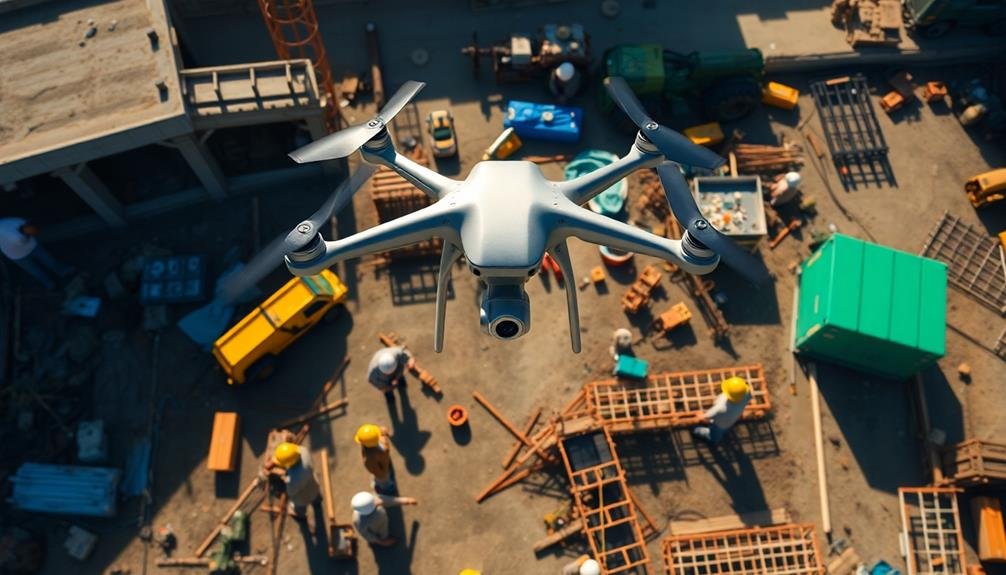
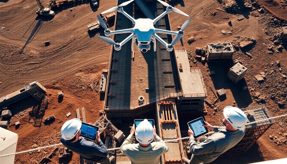
The top seven drone services for construction site documentation are DroneDeploy, Kespry, SenseFly, Skycatch, Propeller Aero, Pix4D, and Identified Technologies. These services offer automated flight planning, high-resolution mapping, 3D modeling, and AI-powered data analysis. You'll benefit from real-time progress monitoring, accurate volumetric measurements, and seamless integration with construction software. Each service provides unique features tailored to construction professionals, enhancing project management and decision-making. From cloud-based platforms to fixed-wing drones, these solutions streamline data collection and provide actionable insights. Discover how these advanced technologies can transform your construction site documentation and boost efficiency.
DroneDeploy
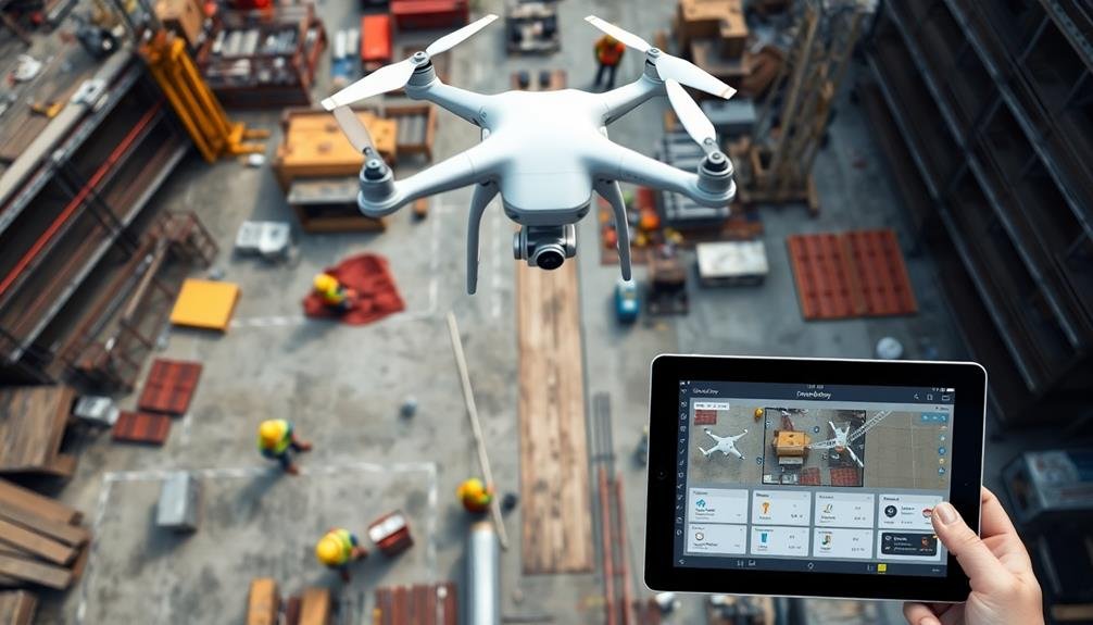
DroneDeploy frequently leads the pack in drone software for construction projects. This cloud-based platform offers extensive solutions for capturing, processing, and analyzing aerial data. You'll find it particularly useful for site mapping, progress tracking, and safety inspections.
With DroneDeploy, you can create high-resolution 2D maps and 3D models of your construction sites. These detailed visuals help you monitor progress, identify potential issues, and make informed decisions. The software's automated flight planning feature guarantees consistent data collection, while its real-time mapping capability allows for quick assessments on-site.
DroneDeploy's AI-powered analysis tools can detect and measure stockpiles, calculate earthwork volumes, and even identify safety hazards. You'll appreciate the platform's collaboration features, which enable easy sharing of data and insights with team members and stakeholders.
The software integrates seamlessly with popular construction management tools, streamlining your workflow. It's compatible with various drone models, giving you flexibility in hardware choices.
DroneDeploy's mobile app lets you access and analyze data on the go, assuring you're always connected to your project's progress. With its user-friendly interface and robust features, DroneDeploy empowers you to enhance efficiency and accuracy in your construction projects.
Kespry
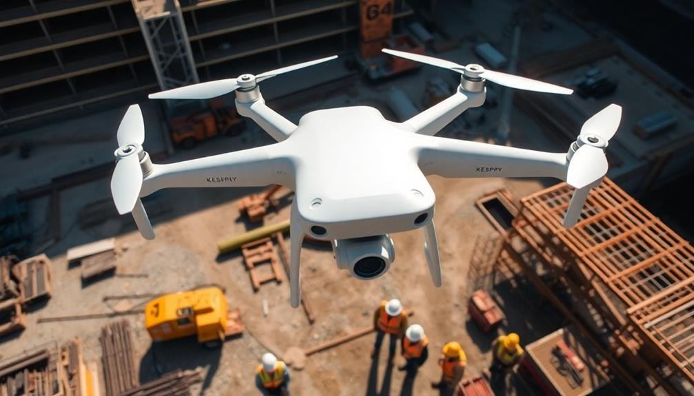
You'll find Kespry offers an extensive drone solution for construction projects.
Their automated flight planning system streamlines data collection, while cloud-based processing guarantees quick access to insights.
Kespry's accurate 3D mapping capabilities allow you to generate detailed site models, measure stockpiles, and track project progress with ease.
Automated Flight Planning
In light of the growing demand for efficient drone operations, Kespry's automated flight planning stands out as a game-changer for construction professionals. This feature streamlines your site documentation process by eliminating the need for manual flight planning and piloting.
You'll save time and reduce human error, guaranteeing consistent and accurate data collection across your construction sites.
With Kespry's system, you simply define the area you want to survey using their intuitive interface. The software then automatically generates a suitable flight path, taking into account factors like terrain, obstacles, and desired image overlap.
This guarantees thorough coverage of your site while maximizing battery life and minimizing flight time.
During the flight, the drone operates autonomously, following the pre-programmed route and capturing high-resolution images at precise intervals. You don't need to worry about maintaining line of sight or manually controlling the aircraft, freeing you up to focus on other critical tasks.
The automated flight planning also allows for repeatable missions, enabling you to easily track progress over time by surveying the same area consistently.
This feature proves invaluable for monitoring construction progress, identifying potential issues, and maintaining accurate records throughout your project's lifecycle.
Cloud-Based Data Processing
Kespry's cloud-based data processing revolutionizes the way construction professionals handle drone-captured information. You'll find that this system eliminates the need for manual data transfer and processing, saving you valuable time and resources.
As soon as your drone completes its flight, the collected data is automatically uploaded to Kespry's secure cloud platform.
Once in the cloud, advanced algorithms process the raw data, transforming it into actionable insights. You'll receive high-resolution orthomosaic maps, 3D models, and volumetric calculations within hours, not days. This rapid turnaround allows you to make informed decisions quickly, keeping your projects on schedule.
The cloud-based system also enables seamless collaboration among team members. You can easily share processed data with stakeholders, regardless of their location. This feature proves especially useful for large-scale projects with multiple teams working simultaneously.
Additionally, Kespry's platform offers robust data storage and management capabilities. You'll have access to historical site data, allowing you to track progress over time and identify trends.
This thorough approach to data processing and management empowers you to optimize your construction workflows and improve overall project efficiency.
Accurate 3D Mapping Capabilities
Along with its cloud-based processing capabilities, Kespry's drone services offer cutting-edge 3D mapping technology for construction projects.
You'll benefit from highly accurate topographic maps, volumetric measurements, and detailed site models that can be easily integrated into your existing workflow.
Kespry's drones use LiDAR and photogrammetry to create precise 3D maps of your construction site. These maps provide you with valuable insights into site conditions, enabling better planning and decision-making.
You can track progress, identify potential issues, and optimize resource allocation with ease.
The 3D mapping capabilities allow you to measure stockpiles, calculate cut and fill volumes, and assess terrain changes over time. This data helps you manage inventory, plan earthwork operations, and monitor site progress more efficiently.
You'll also appreciate the ability to generate orthorectified images and contour maps, which are essential for site analysis and design.
These features enable you to visualize your project from various angles and perspectives, enhancing your understanding of the site's topography and potential challenges.
SenseFly
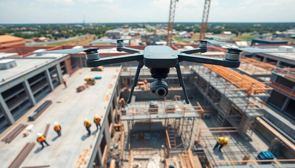
SenseFly frequently leads the pack in drone technology for construction applications. Their eBee X fixed-wing drone is a standout choice for large-scale mapping and surveying projects. You'll find it can cover up to 500 hectares in a single flight, making it ideal for extensive construction sites.
The eBee X's RTK/PPK capabilities guarantee centimeter-level accuracy without the need for ground control points. This saves you time and resources while maintaining high-quality data collection. You can equip the drone with various sensors, including RGB, thermal, and multispectral cameras, allowing for versatile data capture.
SenseFly's eMotion flight planning software simplifies mission planning and execution. You'll appreciate its intuitive interface and automated flight modes, which reduce the learning curve for operators. The software also offers real-time flight monitoring and adjustments, guaranteeing maximum data collection.
For processing and analyzing your drone data, SenseFly integrates seamlessly with popular photogrammetry software like Pix4D. This integration streamlines your workflow from data capture to final deliverables.
With SenseFly's solutions, you'll enhance your construction site documentation, improve project management, and make more informed decisions throughout the building process.
Skycatch
Skycatch offers cutting-edge drone solutions for your construction projects.
You'll benefit from their high-precision aerial mapping capabilities, allowing you to create detailed site models and track progress in real-time.
Their AI-powered data analysis tools can quickly process the collected information, providing you with actionable insights to optimize your construction workflow.
High-Precision Aerial Mapping
High-precision aerial mapping has taken off in the construction industry, thanks to innovative companies like Skycatch. Their advanced drone technology allows you to capture incredibly detailed aerial imagery and create accurate 3D models of your construction sites.
With Skycatch's high-precision mapping services, you'll receive centimeter-level accuracy in your site surveys. This level of detail is essential for making informed decisions about site planning, earthwork calculations, and progress tracking. You'll be able to measure distances, volumes, and elevations with remarkable precision, reducing the need for time-consuming ground surveys.
Skycatch's drones use RTK (Real-Time Kinematic) GPS technology, ensuring that your maps are georeferenced and aligned perfectly with existing site plans. Their proprietary software processes the captured data quickly, delivering actionable insights within hours of the flight.
You can easily integrate Skycatch's mapping data into your existing CAD or BIM software, streamlining your workflow and improving collaboration among team members. This seamless integration helps you identify potential issues early, optimize resource allocation, and keep your projects on schedule and within budget.
Real-Time Progress Monitoring
One of the most powerful features of Skycatch's drone services is real-time progress monitoring. This capability allows you to track your construction project's development as it happens, giving you unprecedented oversight and control.
With Skycatch's drones, you'll receive up-to-date visual data of your entire site. These drones capture high-resolution images and videos, which are then processed and made available to you almost instantly. You can access this information through a user-friendly dashboard, allowing you to monitor progress from anywhere, at any time.
This real-time monitoring enables you to identify potential issues or delays quickly. You'll spot deviations from the plan, track material usage, and verify work is progressing according to schedule. It's particularly useful for large or complex projects where manual inspections are time-consuming and challenging.
Moreover, Skycatch's system can compare current site conditions with previous captures or design plans. This feature helps you measure progress accurately, validate contractor work, and make data-driven decisions.
You'll also have an extensive visual record of your project's evolution, which can be invaluable for documentation, reporting, and dispute resolution.
Ai-Powered Data Analysis
Three key components of Skycatch's drone services revolve around AI-powered data analysis: automated feature detection, volumetric calculations, and change detection. You'll benefit from these advanced capabilities that transform raw aerial data into actionable insights.
Automated feature detection identifies and categorizes objects on your construction site, such as equipment, materials, and structures. This saves you time and enhances site management. Volumetric calculations provide accurate measurements of stockpiles, excavations, and fill areas, helping you track progress and manage resources efficiently. Change detection compares data from different time periods, highlighting alterations in your site's layout and progress.
Skycatch's AI algorithms process data quickly, delivering results within hours. You'll receive detailed reports and 3D models that enable informed decision-making. The system's machine learning capabilities improve over time, adapting to your specific site conditions and requirements.
| Feature | Benefit | Impact |
|---|---|---|
| Automated Detection | Time Savings | Increased Efficiency |
| Volumetric Calculations | Resource Management | Cost Reduction |
| Change Detection | Progress Tracking | Improved Planning |
| Rapid Processing | Quick Insights | Faster Decision-Making |
| Adaptive Learning | Customized Analysis | Enhanced Accuracy |
Propeller Aero
Propeller Aero has revolutionized the construction industry with its innovative drone data platform. This cloud-based solution allows you to process, visualize, and analyze aerial data from your construction sites with ease.
You'll benefit from accurate 3D maps, volumetric measurements, and progress tracking tools that streamline your workflow.
With Propeller Aero, you can upload drone imagery and receive processed data within 24 hours. The platform's user-friendly interface lets you measure distances, slopes, and stockpile volumes with just a few clicks.
You'll also gain access to timeline features that help you track changes over time, ensuring your project stays on schedule.
One of Propeller Aero's standout features is its integration with other construction software, such as Trimble Connect and Autodesk BIM 360. This compatibility allows for seamless data sharing across your entire team.
You'll also appreciate the platform's ability to generate detailed reports and share insights with stakeholders.
Pix4D

While Propeller Aero offers an extensive solution, Pix4D brings its own set of powerful tools to the construction industry. This Swiss-based company specializes in photogrammetry software, allowing you to transform your drone imagery into detailed 3D models and maps.
Pix4D's software is known for its accuracy and ease of use, making it a popular choice among construction professionals. With Pix4D, you'll be able to create high-resolution orthomosaic maps, digital surface models, and point clouds.
These outputs can help you monitor progress, calculate volumes, and detect potential issues on your construction site. The software's cloud-based platform enables real-time collaboration, ensuring that your entire team stays up-to-date with the latest site information.
Pix4D's commitment to innovation is evident in its continuous software updates and industry-specific solutions. You'll find tools tailored for earthwork monitoring, stockpile management, and as-built documentation.
- Experience the thrill of seeing your project come to life in stunning 3D detail
- Feel confident in your decision-making with accurate, data-driven insights
- Impress your clients with professional-grade visualizations and reports
Identified Technologies

Beyond Pix4D, Identified Technologies offers an all-encompassing drone solution tailored specifically for the construction and earthwork industries. Their platform combines high-quality drone hardware with powerful software to streamline your site documentation process.
With Identified Technologies, you'll get access to fully autonomous drones that can capture aerial data without manual piloting. These drones are equipped with advanced sensors and cameras to collect precise topographic information, enabling you to create accurate 3D models and volumetric calculations of your construction site.
The company's cloud-based software processes the collected data and generates actionable insights within hours. You can easily track progress, measure stockpiles, and identify potential issues before they become costly problems.
Their platform also includes tools for comparing as-built conditions to design plans, helping you stay on schedule and budget.
Identified Technologies offers flexible service options, including drone rentals, full-service solutions, and software-only packages. Their team provides training and support to guarantee you get the most out of their technology.
Frequently Asked Questions
How Long Does It Take to Train Personnel to Operate Construction Site Drones?
You'll find drone training for construction sites varies widely. It can take anywhere from a few days to several weeks, depending on your prior experience and the complexity of the drone system you're learning to operate.
Are There Any Restrictions on Using Drones Near Airports or Restricted Airspace?
Yes, there are restrictions on flying drones near airports and in restricted airspace. You'll need to check local regulations, obtain necessary permits, and use apps like B4UFLY to guarantee you're operating legally and safely in these areas.
What Weather Conditions Are Optimal for Drone-Based Construction Site Documentation?
You'll want calm, clear days for ideal drone flights. Avoid strong winds, rain, or extreme temperatures. Overcast skies can provide even lighting, but guarantee visibility isn't compromised. Early morning or late afternoon often offer perfect conditions.
How Often Should Drone Surveys Be Conducted During a Construction Project?
You'll want to conduct drone surveys regularly throughout your construction project. Aim for weekly or bi-weekly flights, depending on the project's pace. You can increase frequency during critical phases or when there's significant progress to document.
Can Drone Data Be Integrated With Existing Construction Management Software Platforms?
Yes, you can integrate drone data with your existing construction management software. Many platforms now offer compatibility with drone-captured imagery and 3D models, allowing you to seamlessly incorporate aerial data into your project workflows and documentation.
In Summary
You've now got a great overview of the top drone services for construction site documentation. Whether you're looking for ease of use, advanced analytics, or specialized features, there's an option that'll fit your needs. Remember to take into account factors like budget, project scale, and required outputs when making your choice. By leveraging these drone services, you'll streamline your site documentation process and gain valuable insights for your construction projects.
As educators and advocates for responsible drone use, we’re committed to sharing our knowledge and expertise with aspiring aerial photographers.


Leave a Reply