
You can revolutionize construction updates with UAV progress reporting. Start by selecting the right drone for your site and mastering flight planning and regulations. Implement effective data collection techniques, focusing on image capture methods and best settings. Process and analyze your data using specialized software for accurate 3D models and orthomosaics. Integrate progress tracking software to visualize and report your findings effectively. Overcome common challenges like weather disruptions and data management with proper planning and training. By following this guide, you'll transform your construction reporting, providing stakeholders with unparalleled insights and efficiency. Explore further to access the full potential of UAV technology in construction management.
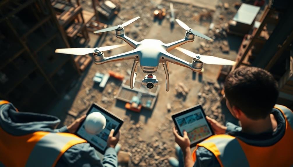
UAV Selection for Construction Sites
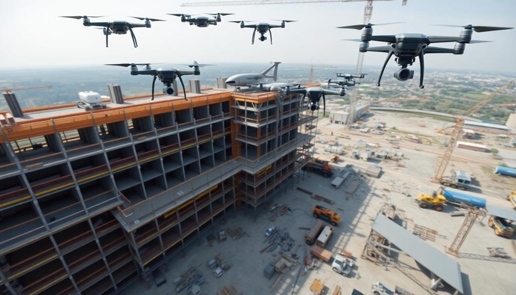
Drone selection for construction sites is an important first step in implementing UAV technology. You'll need to examine several factors to guarantee you choose the right UAV for your specific needs.
First, assess the size of your construction site and the type of data you want to collect. For large sites or complex projects, you'll want a drone with longer flight times and advanced camera capabilities.
Evaluate the drone's payload capacity, as you may need to attach specialized sensors or equipment. Weather resistance is vital, as construction sites often operate in challenging conditions. Look for drones with robust build quality and IP ratings for dust and water resistance.
Battery life and range are significant factors, especially for larger sites. You'll want a drone that can cover the entire area without needing frequent battery changes.
Camera quality is paramount for capturing high-resolution images and videos for progress reporting. Look for drones with at least 4K video capabilities and high-megapixel still cameras.
Flight Planning and Regulations
Before operating your UAV on a construction site, you'll need to address essential flight planning and regulatory aspects.
Start by mastering your pre-flight checklist, which includes equipment checks and site-specific safety considerations.
You must also familiarize yourself with local airspace restrictions and obtain the necessary licenses and certifications required for commercial drone operation in your area.
Pre-Flight Checklist Essentials
Five essential components make up a thorough pre-flight checklist for UAV operations.
First, you'll need to inspect your drone's physical condition, including the frame, propellers, and batteries. Check for any visible damage or wear that could compromise flight safety.
Next, verify all necessary equipment is on hand, including spare batteries, memory cards, and any specialized sensors or cameras.
Third, verify that your drone's firmware and software are up-to-date. This includes both the aircraft and the remote controller. Outdated software can lead to unexpected behavior or compatibility issues.
Fourth, calibrate your drone's compass and IMU (Inertial Measurement Unit) to verify accurate flight performance and stability.
Lastly, review the specific mission parameters and environmental conditions. This includes:
- Weather forecast and current conditions
- Potential obstacles or hazards in the flight area
- Applicable airspace restrictions or temporary flight limitations
- Communication plan with ground crew or authorities
Airspace Restrictions Awareness
Understanding airspace restrictions is essential for safe and legal UAV operations. Before launching your drone, you'll need to familiarize yourself with the airspace classifications and regulations in your area. Check for temporary flight restrictions (TFRs) and no-fly zones, which can change frequently due to events or security concerns.
Use official sources like the FAA's B4UFLY app or local aviation authorities to verify current airspace status. Don't forget to take into account proximity to airports, heliports, and other sensitive areas. Always maintain visual line of sight with your drone and stay below the maximum allowable altitude.
Here's a quick reference guide for common airspace restrictions:
| Airspace Type | Description | Max Altitude | Authorization Required |
|---|---|---|---|
| Class G | Uncontrolled | 400 ft AGL | No |
| Class E | Controlled | Varies | Sometimes |
| Class D | Controlled | Surface to 2,500 ft | Yes |
| Class C | Controlled | Surface to 4,000 ft | Yes |
| Class B | Controlled | Surface to 10,000 ft | Yes |
Licensing and Certification Requirements
Steering through the complex world of UAV licensing and certification is vital for legal and professional drone operations. You'll need to navigate various requirements depending on your location and intended use of drones. In the United States, the Federal Aviation Administration (FAA) oversees drone regulations, while other countries have their own governing bodies.
To operate a drone for commercial purposes, you'll typically need:
- A Remote Pilot Certificate (Part 107 license in the US)
- Registration of your UAV with the appropriate authority
- Adherence to specific operational rules and airspace restrictions
- Ongoing education to stay current with changing regulations
You'll need to pass a knowledge test covering topics like airspace classification, weather patterns, and emergency procedures to obtain your license.
Once certified, you're responsible for maintaining your skills and staying informed about regulatory updates. Remember, regulations can vary considerably between countries and even regions within countries. It's essential to research and comply with local laws wherever you plan to operate.
Additionally, some specialized applications, like night flights or operations over people, may require additional certifications or waivers. Always prioritize safety and legal compliance in your UAV operations.
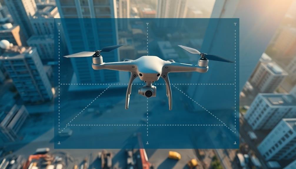
Data Collection Techniques
To effectively collect data using UAVs, you'll need to master key strategies and methods.
Start by developing robust flight planning strategies that optimize your coverage area and data quality.
Next, familiarize yourself with various image capture methods, including photogrammetry and LiDAR, to suit your project needs.
Flight Planning Strategies
When developing effective flight planning strategies for UAV data collection, it's crucial to evaluate various techniques that optimize your mission's efficiency and accuracy.
Consider factors like flight altitude, speed, and overlap percentage to guarantee thorough coverage of your construction site. You'll want to balance these elements to capture high-quality imagery while maximizing battery life and minimizing flight time.
To streamline your flight planning process, follow these key strategies:
- Use automated flight planning software to create precise flight paths and waypoints.
- Implement grid or linear patterns based on your site's layout and specific data collection needs.
- Adjust flight parameters for different areas of interest, such as higher resolution for critical structures.
- Plan for multiple flights if necessary, considering battery limitations and site size.
Remember to account for obstacles, no-fly zones, and weather conditions when designing your flight plan.
You should also establish contingency plans for unexpected situations, such as sudden wind changes or equipment malfunctions.
Image Capture Methods
How can you guarantee your UAV captures the best possible imagery for your construction project? Start by selecting the right image capture method for your specific needs. Consider factors like resolution, area coverage, and processing time when choosing between oblique and nadir imagery.
| Method | Pros | Cons | Best For |
|---|---|---|---|
| Nadir | Wide coverage | Limited detail | Large areas |
| Oblique | Detailed facades | Smaller coverage | Structures |
| Orthomosaic | Accurate measurements | Time-consuming | Precise mapping |
| 3D Modeling | Extensive view | Complex processing | Volumetric analysis |
Use nadir imagery for overall site progress and orthomosaic maps. Capture oblique images for detailed inspections of vertical structures. Combine both methods for a thorough view of your project.
Ensure ideal image quality by flying in favorable weather conditions and maintaining proper altitude. Use automated flight patterns to capture consistent, overlapping images. Set your camera's ISO, shutter speed, and aperture to match lighting conditions.
Don't forget to adjust your capture settings based on the project phase. Early stages may require less frequent, wider-area shots, while later phases benefit from more detailed, focused imagery. By tailoring your approach, you'll collect the most valuable data for your progress reports.
Data Processing Workflows
In light of the vast amount of data collected during UAV flights, efficient processing workflows are vital for extracting meaningful insights. You'll need to establish a streamlined approach to handle the influx of imagery and data points. Start by organizing your raw data into clearly labeled folders, ensuring easy access and retrieval for future processing steps.
Next, you'll want to implement a robust data processing workflow that includes:
- Initial data cleaning and filtering to remove any irrelevant or low-quality captures
- Stitching and mosaicking of individual images to create thorough site overviews
- 3D point cloud generation for accurate volumetric measurements and terrain modeling
- Orthomosaic creation for precise 2D mapping and overlay comparisons
Once you've processed your data, it's essential to integrate it with existing project management tools and construction schedules. This integration allows for seamless comparison between planned and actual progress, highlighting any discrepancies or potential issues.
You'll also want to reflect on automating parts of your workflow to save time and reduce human error. By implementing these data processing techniques, you'll be able to generate valuable insights and actionable reports that drive informed decision-making on your construction projects.
Image Processing and Analysis
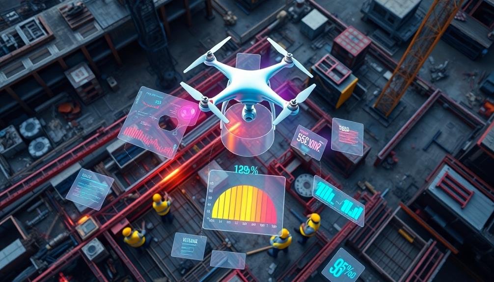
Through advanced image processing and analysis, UAV operators can extract valuable insights from the vast amounts of visual data collected during missions. You'll need to employ specialized software to transform raw imagery into actionable information. Start by stitching together individual photos to create high-resolution orthomosaics, which provide a thorough view of your construction site.
Next, use photogrammetry techniques to generate 3D point clouds and digital elevation models. These tools allow you to accurately measure distances, volumes, and elevations. You can then apply computer vision algorithms to detect and classify objects, track progress, and identify potential issues.
Here's a quick overview of common image processing tasks:
| Task | Purpose | Software Examples |
|---|---|---|
| Orthomosaic Creation | Site overview | Pix4D, DroneDeploy |
| 3D Modeling | Volumetric analysis | Agisoft Metashape |
| Object Detection | Progress tracking | OpenCV, TensorFlow |
Remember to calibrate your images for ideal accuracy and consider using ground control points to improve geospatial precision. By mastering these image processing techniques, you'll transform raw UAV data into powerful visual tools that enhance decision-making and communication on your construction projects.
Progress Tracking Software Integration
Once you've processed and analyzed your UAV imagery, the next step is integrating this data into your project management workflow. Progress tracking software integration allows you to seamlessly incorporate aerial insights into your existing systems, enhancing decision-making and communication across your team.
To effectively integrate UAV data with your progress tracking software:
- Choose compatible software: Confirm your chosen progress tracking platform supports UAV data import and visualization. Popular options include Procore, PlanGrid, and Autodesk BIM 360.
- Establish data transfer protocols: Set up automated or manual processes to transfer processed UAV data into your project management system. This may involve API integration or file format conversion.
- Create custom dashboards: Design intuitive dashboards that display UAV-derived progress metrics alongside traditional project data. This provides a thorough view of your project's status.
- Train your team: Educate staff on how to interpret and utilize UAV data within the progress tracking software. This guarantees maximum value from your integrated system.
Reporting and Visualization Methods

With effective reporting and visualization methods, you'll transform raw UAV data into actionable insights for stakeholders. Start by creating custom dashboards that display key performance indicators (KPIs) tailored to different project roles. Include progress charts, timelines, and cost projections to provide a thorough overview at a glance.
Utilize 3D modeling software to generate detailed site reconstructions from UAV imagery. These models allow for virtual walkthroughs and side-by-side comparisons of planned vs. actual progress. Implement color-coding to highlight areas of concern or exceptional performance.
Incorporate augmented reality (AR) features in your reports to overlay digital information onto real-world images. This technique helps stakeholders visualize proposed changes or identify discrepancies between plans and reality.
Create time-lapse videos from sequential UAV footage to showcase project evolution over time. These visually compelling presentations are particularly effective for high-level executives and external communications.
Don't forget to include written analysis alongside visual elements. Provide concise summaries of key findings, potential risks, and recommended actions. Use bullet points and infographics to make complex information easily digestible for busy decision-makers.
Overcoming Common Challenges
Despite the many advantages of UAV progress reporting, you'll inevitably encounter challenges along the way. To guarantee successful implementation, you'll need to address these issues head-on. Common obstacles include weather constraints, regulatory compliance, and data management complexities.
To overcome these challenges effectively:
- Develop a flexible schedule that accounts for weather-related disruptions. Always have backup plans for days when flying isn't possible.
- Stay up-to-date with local and federal UAV regulations. Obtain necessary certifications and permits well in advance of your project's start date.
- Invest in robust data management systems to handle the large volumes of information collected during flights. Implement standardized naming conventions and file organization protocols.
- Train your team thoroughly on UAV operations, safety procedures, and data analysis techniques. Regular skill assessments and refresher courses will help maintain high standards.
Frequently Asked Questions
How Do UAVS Impact Worker Privacy on Construction Sites?
You'll find that UAVs can impact worker privacy on construction sites. They capture aerial footage that may unintentionally record workers' activities. This can raise concerns about constant surveillance and personal space intrusion during work hours.
What Are the Cost Implications of Implementing UAV Progress Reporting Systems?
You'll find UAV progress reporting systems can be cost-effective. They'll reduce manual labor, increase efficiency, and improve accuracy. However, you'll need to take into account initial equipment costs, software licenses, and training expenses for your team.
Can UAV Data Be Used for Dispute Resolution in Construction Projects?
Yes, you can use UAV data for dispute resolution in construction projects. It provides objective visual evidence of site conditions, progress, and timelines. You'll have accurate, time-stamped imagery to support claims or refute disputes effectively.
How Does Weather Affect UAV Operations and Data Quality in Construction?
Weather greatly impacts your UAV operations and data quality. You'll face challenges with wind, rain, and extreme temperatures. They can affect flight stability, visibility, and sensor performance. Always check forecasts and adapt your flight plans accordingly.
Are There Insurance Considerations for Using UAVS in Construction Progress Reporting?
Yes, you'll need specialized insurance for UAV operations in construction. You should consider liability coverage, equipment protection, and cyber insurance. Don't forget to check local regulations and obtain necessary certifications for legal compliance.
In Summary
You've now got the tools to revolutionize your construction progress reporting with UAVs. By selecting the right drone, planning flights carefully, and mastering data collection and analysis, you'll streamline your process. Don't forget to integrate with tracking software and create compelling visualizations. While challenges may arise, you're well-equipped to overcome them. Embrace this technology, and you'll see improved efficiency, accuracy, and communication on your construction sites. It's time to take your progress reporting to new heights!
As educators and advocates for responsible drone use, we’re committed to sharing our knowledge and expertise with aspiring aerial photographers.


Leave a Reply