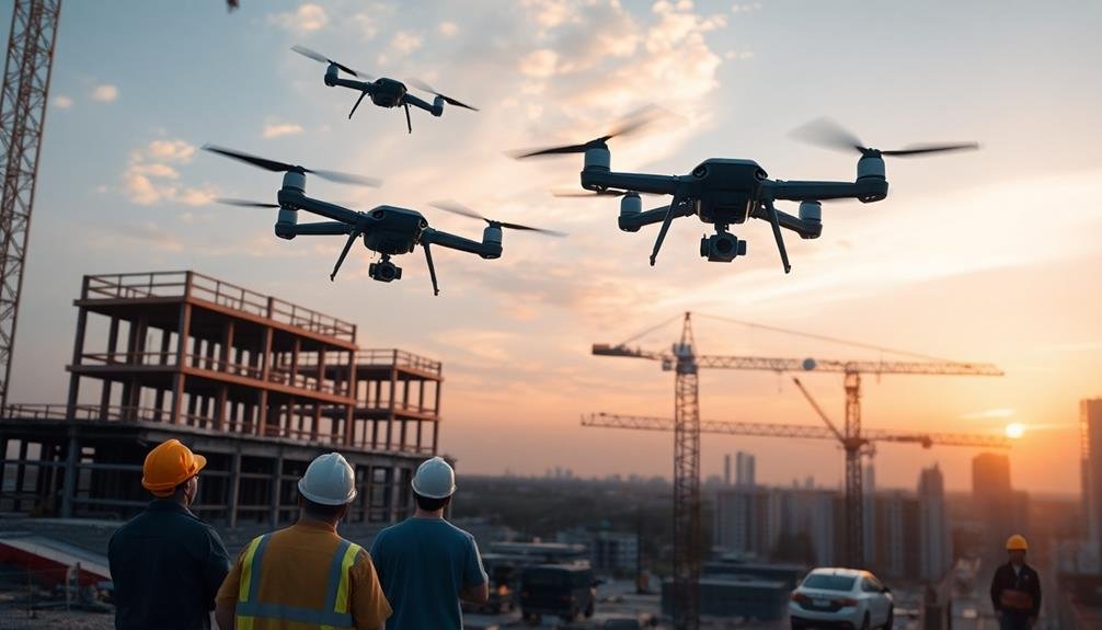
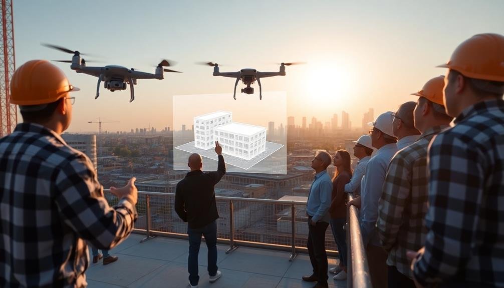
Drones are revolutionizing construction project planning by offering a range of powerful capabilities. You'll benefit from accurate aerial site mapping and surveying, enabling early detection of potential challenges. They provide real-time progress monitoring, enhancing communication and decision-making. Safety inspections become more thorough and less risky, while equipment tracking and inventory management improve efficiency. Drones excel at volumetric measurements, environmental impact assessments, and stakeholder communication. They optimize project timelines and aid in cost estimation and control. By embracing drone technology, you'll access a wealth of advantages that can greatly streamline your construction planning process.
Site Mapping and Surveying
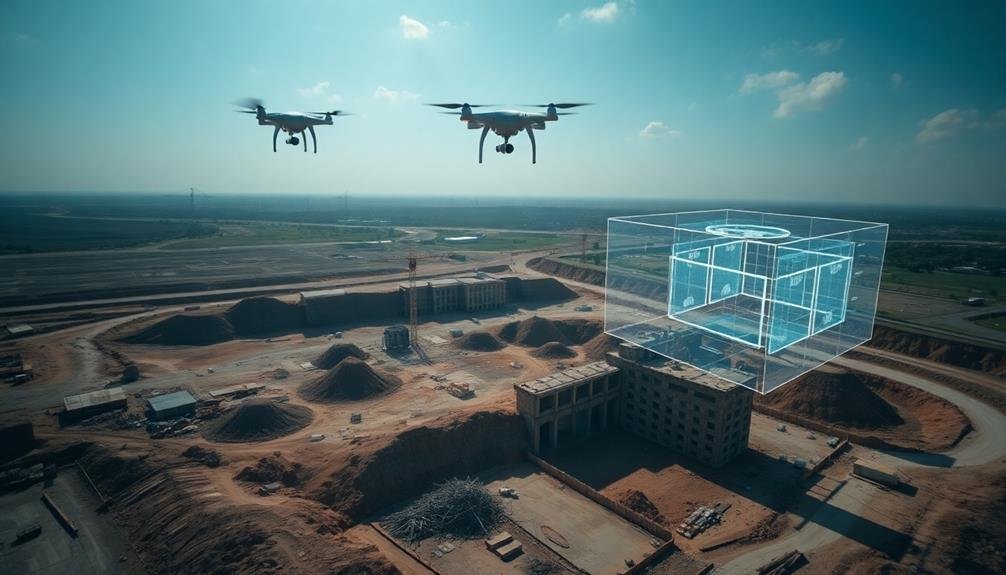
Drone-powered site mapping and surveying have revolutionized the construction industry's approach to project planning. You can now capture highly accurate aerial imagery and data of your construction site in a fraction of the time it would take using traditional methods.
These drones, equipped with high-resolution cameras and LiDAR sensors, provide you with detailed topographic maps, 3D models, and volumetric measurements.
With drone technology, you'll quickly identify potential site challenges, such as uneven terrain or drainage issues, before breaking ground. This early detection allows you to adjust your plans, potentially saving time and money.
You'll also benefit from real-time progress tracking, as drones can easily and frequently survey large areas, giving you up-to-date information on earthwork, stockpile volumes, and overall site changes.
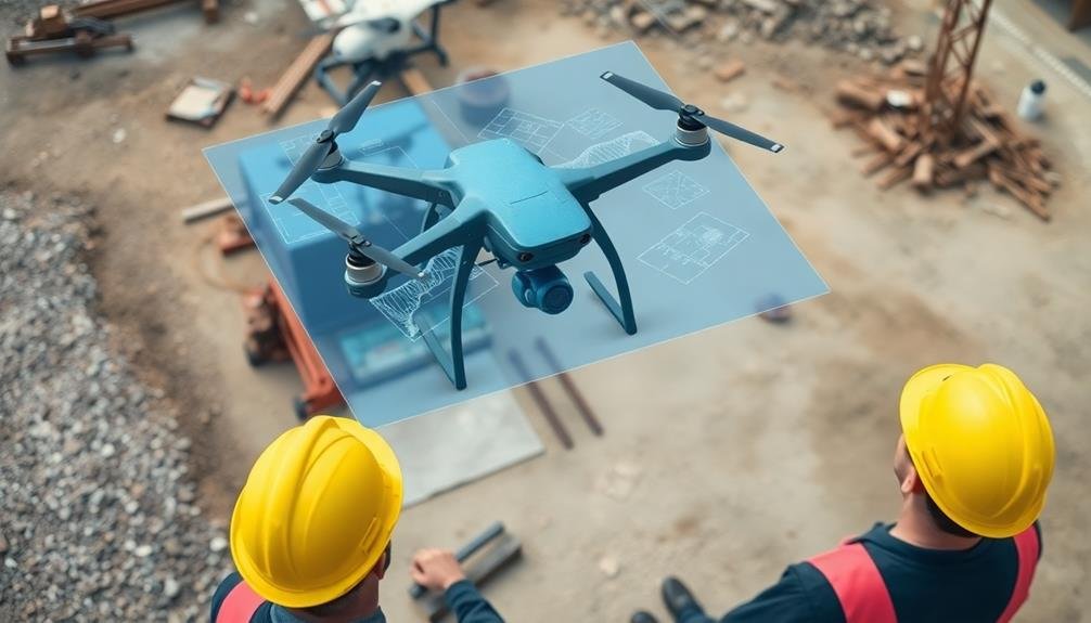
Moreover, drone-generated data integrates seamlessly with Building Information Modeling (BIM) software, enhancing your project's digital twin. This integration improves collaboration among team members and stakeholders, as everyone can access and work with the same accurate, current site information.
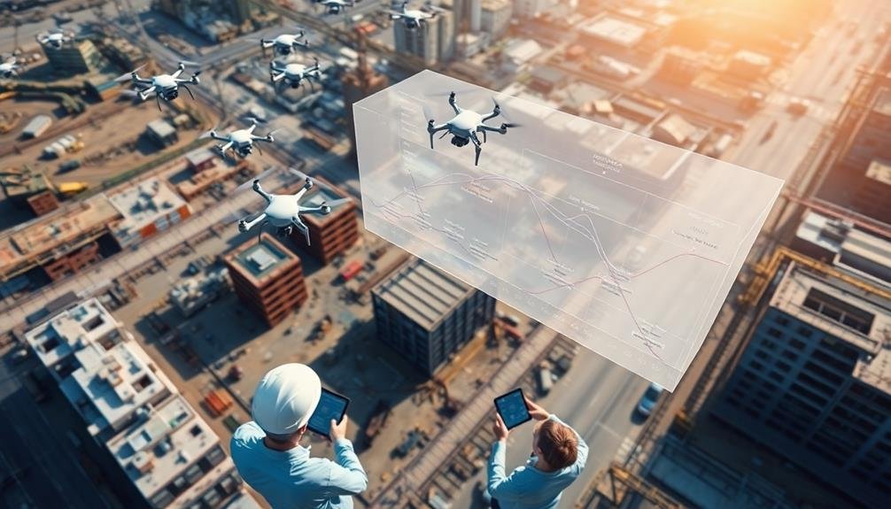
Progress Monitoring
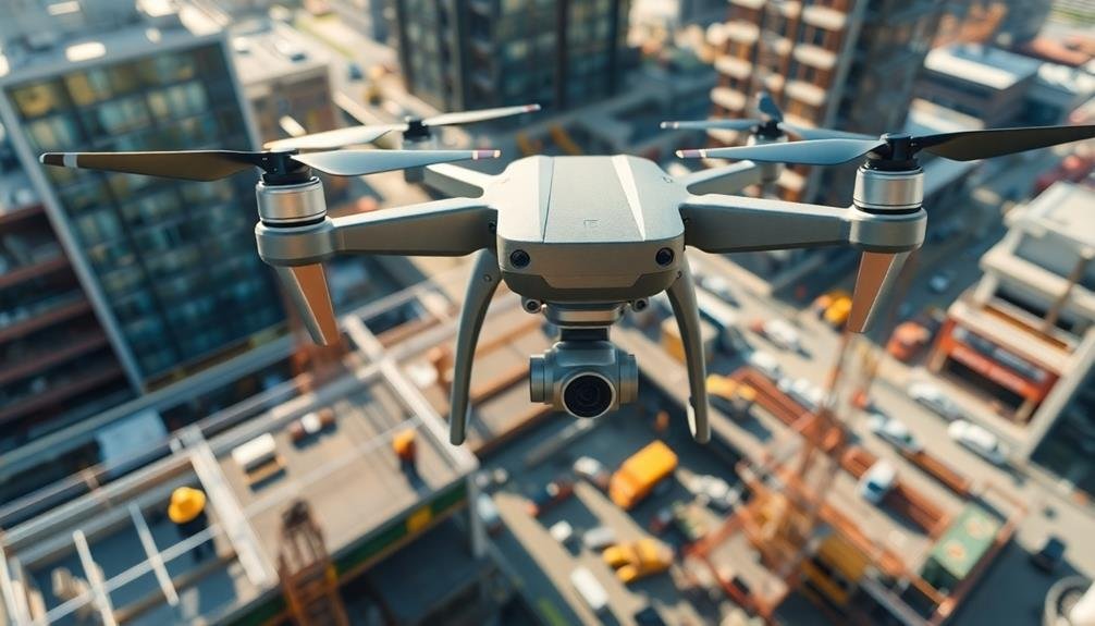
Construction's progress monitoring has been transformed by the integration of drone technology. You can now track your project's advancement with unprecedented accuracy and efficiency. Drones equipped with high-resolution cameras capture detailed aerial footage of your construction site, allowing you to spot potential issues early and make informed decisions quickly.
You'll benefit from real-time data collection, as drones can perform daily or weekly flyovers to document progress. This frequent monitoring helps you identify delays, assess work quality, and guarantee adherence to project timelines. You can easily compare current site conditions with your original plans, detecting discrepancies that might've gone unnoticed from ground level.
Drones also enhance communication among stakeholders. You can share aerial imagery and 3D models with clients, contractors, and team members, providing a clear visual representation of the project's status. This transparency fosters better collaboration and reduces misunderstandings.
Additionally, you'll create a thorough visual record of your project's evolution, which can be invaluable for dispute resolution, quality control, and future reference. By leveraging drone technology for progress monitoring, you'll streamline your construction management process and improve overall project outcomes.
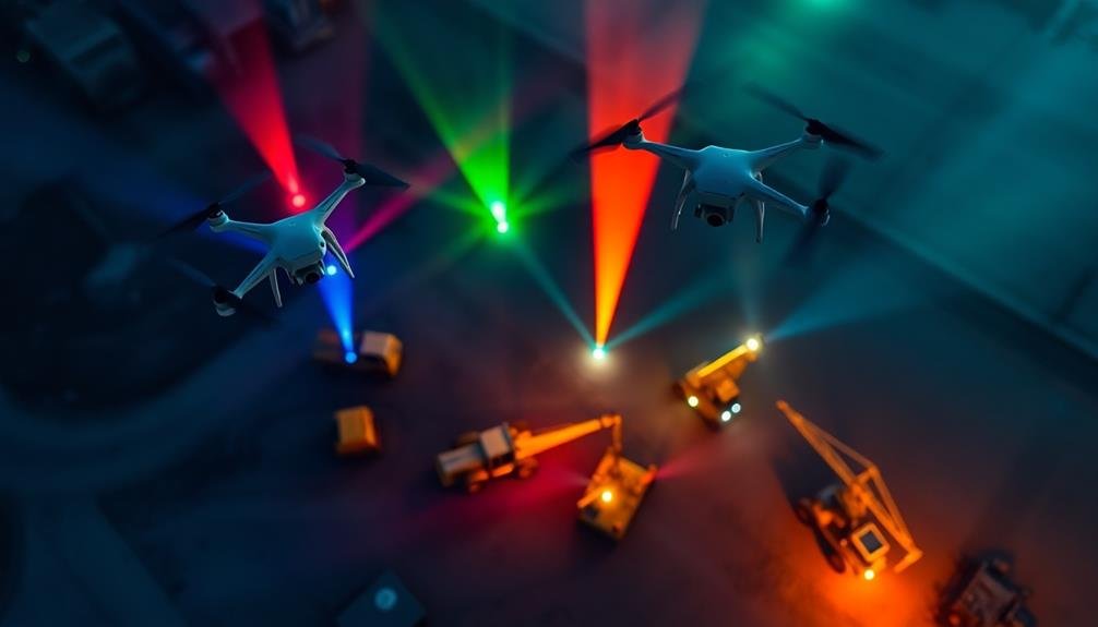
Safety Inspections
You'll find drones invaluable for conducting thorough safety inspections on construction sites.
With aerial views, you can quickly identify potential hazards that might be overlooked from ground level, while real-time monitoring allows for immediate response to emerging safety concerns.
Drones also enable you to assess hard-to-reach areas without putting workers at risk, improving overall site safety.
Hazard Identification From Above
Before workers set foot on a construction site, drones can provide a bird's-eye view of potential hazards. You'll be able to identify risks that mightn't be apparent from ground level, such as unstable terrain, hidden drop-offs, or nearby power lines.
Drones equipped with high-resolution cameras can capture detailed images of the entire site, allowing you to spot and address safety concerns before they become issues.
You can use drones to create accurate 3D models of the construction area, helping you plan safe access routes and equipment placement. These models will also highlight areas that may require additional safety measures, such as steep slopes or confined spaces.
By identifying hazards early, you'll be able to implement appropriate safety protocols and train your workers more effectively.
Drones can also detect environmental hazards like contaminated soil or water bodies that could pose risks to workers. You'll be able to assess the need for personal protective equipment or specialized handling procedures before sending in your crew.
This proactive approach to hazard identification will greatly improve your site's overall safety and reduce the likelihood of accidents or injuries during construction.
Real-Time Safety Monitoring
Drones offer three key advantages for real-time safety monitoring on construction sites.
First, they provide a continuous birds-eye view of the entire project area, allowing you to spot potential hazards or unsafe practices immediately. You'll be able to identify workers not wearing proper safety gear, unsafe equipment operation, or dangerous site conditions before they lead to accidents.
Second, drones equipped with thermal cameras can detect heat signatures, helping you identify fire risks, electrical hotspots, or overheating equipment. This early detection can prevent costly accidents and guarantee worker safety.
Third, drones can access hard-to-reach or dangerous areas without putting inspectors at risk, enabling thorough safety checks of tall structures, confined spaces, or unstable terrain.
Hard-To-Reach Area Assessment
In addition to real-time monitoring, drones excel at conducting safety inspections in hard-to-reach areas of construction sites.
You can use drones to assess areas that are typically dangerous or difficult for workers to access, such as rooftops, tall structures, or confined spaces. This capability allows you to identify potential hazards and safety concerns without putting your team at risk.
When using drones for hard-to-reach area assessments, you'll benefit from:
- High-resolution imagery and video footage of inaccessible locations
- 3D mapping and modeling of complex structures
- Thermal imaging to detect heat anomalies or energy inefficiencies
- Precise measurements and dimensional data for accurate planning
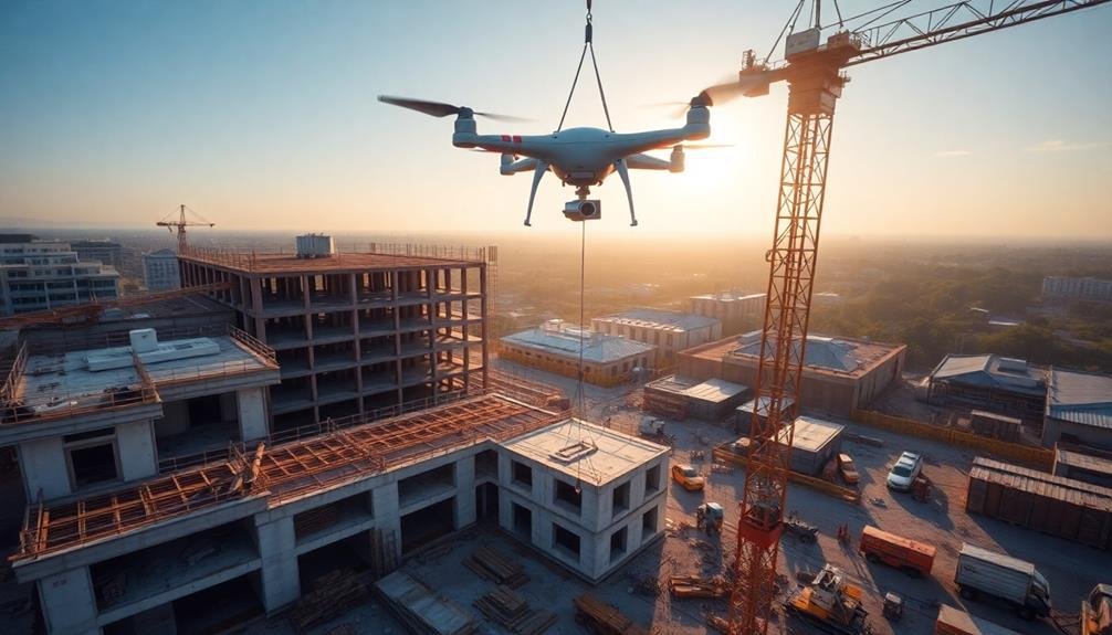
Equipment Tracking
You'll find drones invaluable for real-time asset monitoring on your construction sites.
With aerial views, you can quickly locate and track heavy machinery, vehicles, and other equipment across vast project areas.
This enhanced visibility allows you to optimize inventory management, reducing equipment downtime and improving overall project efficiency.
Real-Time Asset Monitoring
Construction sites are dynamic environments where equipment and assets are constantly on the move. Drones equipped with advanced sensors and cameras can provide real-time monitoring of these valuable resources, offering project managers unprecedented visibility and control. You'll be able to track the location, usage, and status of equipment across your entire site with ease.
By implementing drone-based real-time asset monitoring, you can:
- Optimize resource allocation by identifying underutilized or misplaced equipment
- Enhance security by detecting unauthorized equipment use or theft attempts
- Improve maintenance scheduling through early detection of wear and tear
- Increase overall site efficiency by minimizing equipment downtime and maximizing productivity
Real-time asset monitoring allows you to make data-driven decisions quickly, ensuring that your construction project stays on schedule and within budget.
You'll have access to up-to-the-minute information on equipment locations, operational status, and utilization rates. This level of insight enables you to address issues proactively, reallocate resources as needed, and maintain a smooth workflow throughout the project.
Inventory Management Optimization
Building on the benefits of real-time asset monitoring, drones can revolutionize inventory management and equipment tracking in construction projects.
You'll find that these aerial devices offer a more efficient and accurate way to manage your construction site's inventory.
With drones, you can quickly scan large areas and identify the location of equipment, materials, and supplies. This bird's-eye view allows you to optimize storage layouts and streamline material flow.
You'll save time and reduce labor costs by eliminating manual inventory checks.
Drones equipped with RFID sensors can automatically track and update inventory levels in real-time.
You'll always know what's on-site, what's running low, and what needs to be ordered. This data-driven approach minimizes stockouts and overstock situations, improving cash flow and reducing waste.
You can also use drones to monitor equipment utilization rates.
By identifying underused assets, you'll make better decisions about equipment allocation and rentals. This optimization leads to improved productivity and cost savings.
Ultimately, drone-assisted inventory management gives you greater control over your construction project's resources.
You'll enhance efficiency, reduce theft, and make more informed decisions about procurement and asset allocation.
Volumetric Measurements
Within the domain of construction project planning, drones have revolutionized the way we approach volumetric measurements. You'll find that these aerial devices can quickly and accurately calculate the volume of materials like soil, gravel, or concrete on your construction site.
By using photogrammetry and LiDAR technology, drones create detailed 3D models of stockpiles, allowing you to make informed decisions about material management and procurement.
You'll benefit from drone-based volumetric measurements in several ways:
- Time savings: Drones can survey large areas in minutes, compared to hours or days with traditional methods.
- Increased safety: You'll reduce the need for workers to climb potentially unstable stockpiles.
- Improved accuracy: Drone measurements are often more precise than manual calculations.
- Cost-effectiveness: You'll save on labor costs and equipment rentals associated with traditional surveying.
Thermal Imaging Analysis
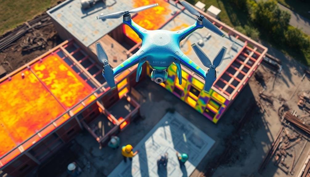
Beyond volumetric measurements, drones equipped with thermal imaging cameras offer another powerful tool for construction project planning. You can use these drones to detect heat signatures and temperature variations across your construction site, providing valuable insights into various aspects of your project.
With thermal imaging, you'll identify potential energy inefficiencies in existing structures, helping you plan for necessary upgrades or retrofits. You can also detect moisture issues, such as roof leaks or poorly insulated areas, allowing you to address these problems early in the planning stage.
During construction, thermal imaging helps you monitor the curing of concrete, ensuring maximum strength and durability. You'll find thermal imaging particularly useful for inspecting electrical systems and HVAC equipment. It allows you to pinpoint overheating components, faulty wiring, or inefficient ductwork before they become major issues.
Additionally, you can use thermal data to enhance the placement of solar panels or other energy-efficient features in your project design.
Environmental Impact Assessment
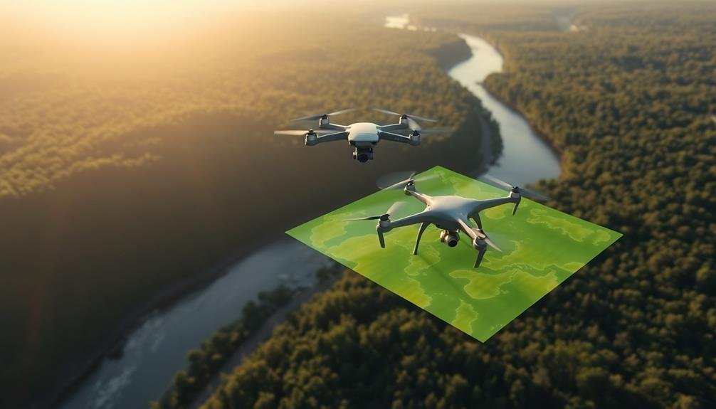
As you explore deeper into your construction project planning, drones become invaluable tools for conducting environmental impact assessments. They offer a bird's-eye view of the project site and its surroundings, allowing you to gather essential data on potential environmental effects.
You'll be able to identify sensitive areas, assess vegetation cover, and monitor wildlife habitats with unprecedented accuracy and efficiency.
Drones equipped with high-resolution cameras and specialized sensors can help you:
- Map wetlands and waterways to guarantee compliance with environmental regulations
- Detect soil erosion and potential landslide risks
- Monitor air quality and dust dispersion patterns during construction
- Track changes in local ecosystems over time
Stakeholder Communication
The environmental insights gained from drone technology can greatly enhance your stakeholder communication efforts. You'll be able to provide accurate, up-to-date visual information to project partners, investors, and community members.
Drone footage and 3D models offer a compelling way to showcase project progress, potential impacts, and mitigation measures. You can use drone-captured data to create interactive presentations, allowing stakeholders to virtually explore the site and understand proposed changes.
This immersive experience helps bridge the gap between technical plans and real-world implications, making it easier for non-experts to grasp complex concepts. Drones enable you to quickly gather and share information about site conditions, addressing stakeholder concerns promptly.
You can use aerial imagery to illustrate how the project will blend with the surrounding landscape or demonstrate compliance with environmental regulations. Time-lapse videos created from regular drone surveys can effectively communicate project milestones and timeline adherence.
Timeline Optimization
Once you've gathered extensive site data using drones, you'll be equipped to optimize your project timeline more effectively.
Drone-captured imagery and 3D models provide a thorough view of your construction site, allowing you to identify potential bottlenecks and streamline your workflow. You'll be able to plan equipment placement, material staging, and workforce distribution with greater precision, reducing downtime and improving overall efficiency.
By leveraging drone technology for timeline optimization, you can:
- Accurately estimate earthwork volumes and durations
- Identify and resolve site access issues before they impact schedules
- Monitor progress in real-time and adjust timelines accordingly
- Coordinate multiple subcontractors more effectively
With drones, you'll have access to up-to-date site information, enabling you to make data-driven decisions about resource allocation and task sequencing.
This level of insight allows you to create more realistic schedules and adapt quickly to unforeseen challenges. You can also use drone data to track progress against your timeline, identifying areas where you're ahead or behind schedule.
Cost Estimation and Control
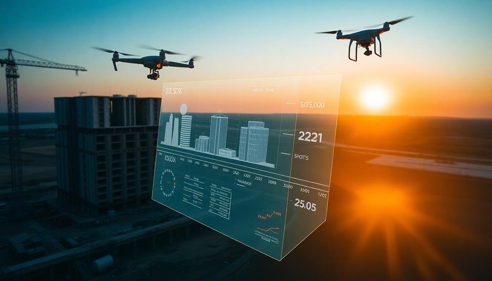
Numerous aspects of cost estimation and control can be considerably improved through the use of drones in construction project planning.
You'll find that drones provide accurate, up-to-date data on site conditions, enabling more precise cost estimates. By capturing high-resolution imagery and 3D models, you can identify potential issues early, reducing the risk of unexpected expenses during construction.
Drones help you monitor material usage and inventory more effectively. You can track stockpiles, measure volumes, and assess material consumption rates, allowing for better cost control and timely reordering.
They also assist in equipment tracking, helping you optimize asset utilization and minimize idle time.
You'll benefit from drones' ability to conduct regular site inspections efficiently. This allows you to identify and address issues promptly, preventing costly delays and rework.
Additionally, drone data can be integrated with project management software, providing real-time cost tracking and forecasting.
Frequently Asked Questions
How Much Do Drones Cost for Construction Project Planning?
You'll find drones for construction planning vary widely in price. Basic models start around $500, while advanced professional-grade drones can cost $10,000 or more. Your specific needs and budget will determine the best option for you.
What Training Is Required to Operate Drones in Construction?
You'll need to complete a Part 107 certification course and pass an FAA exam. It's vital to learn drone operation, safety protocols, and relevant regulations. On-site training and practice are also important for construction-specific applications.
Are There Legal Restrictions on Using Drones in Urban Construction Sites?
Yes, there are legal restrictions on using drones in urban construction sites. You'll need to comply with FAA regulations, obtain proper licenses, and follow local laws. Don't forget to respect privacy and avoid restricted airspace.
Can Drones Be Used in All Weather Conditions for Construction Planning?
You can't use drones in all weather conditions for construction planning. They're limited by strong winds, heavy rain, snow, and extreme temperatures. It's best to operate them on clear days with mild weather for ideal results.
How Do Drones Integrate With Existing Construction Management Software?
You'll find that drones seamlessly integrate with construction management software. They'll capture data, which you can then import into your existing systems for analysis, visualization, and collaboration. This integration enhances your project planning and decision-making processes.
In Summary
You've seen how drones can revolutionize your construction project planning. From site mapping to cost control, they're transforming every aspect of the process. By embracing drone technology, you'll enhance safety, improve efficiency, and gain valuable insights. Don't hesitate to integrate these aerial assistants into your workflow. They'll save you time, money, and headaches while providing unparalleled data accuracy. The future of construction planning is here – it's time to take flight with drones.
As educators and advocates for responsible drone use, we’re committed to sharing our knowledge and expertise with aspiring aerial photographers.


Leave a Reply