To use leading lines in drone photography, you've got plenty of options. Capture the linear nature of roads and highways, or focus on winding rivers and coastlines. Bridges and overpasses offer striking symmetry, while agricultural fields create geometric patterns. Urban street grids provide fascinating city layouts, and fences can emphasize property divisions. Don't forget tree lines and forests for natural borders, or shadows and light patterns for dramatic effects. Architectural features like symmetrical structures and curved lines add visual interest. By experimenting with these elements, you'll guide your viewer's eye and create compelling compositions. There's so much more to explore in the world of aerial leading lines.
Key Takeaways
- Capture roads and highways to naturally draw the viewer's eye through the composition.
- Utilize rivers and coastlines for sinuous paths that guide viewers through landscapes.
- Photograph agricultural fields to create striking linear compositions and geometric patterns from above.
- Frame shots with urban street grids to reveal geometric patterns and symmetry in city layouts.
- Incorporate bridges and overpasses to capture symmetry, geometric patterns, and emphasize depth in aerial shots.
Roads and Highways
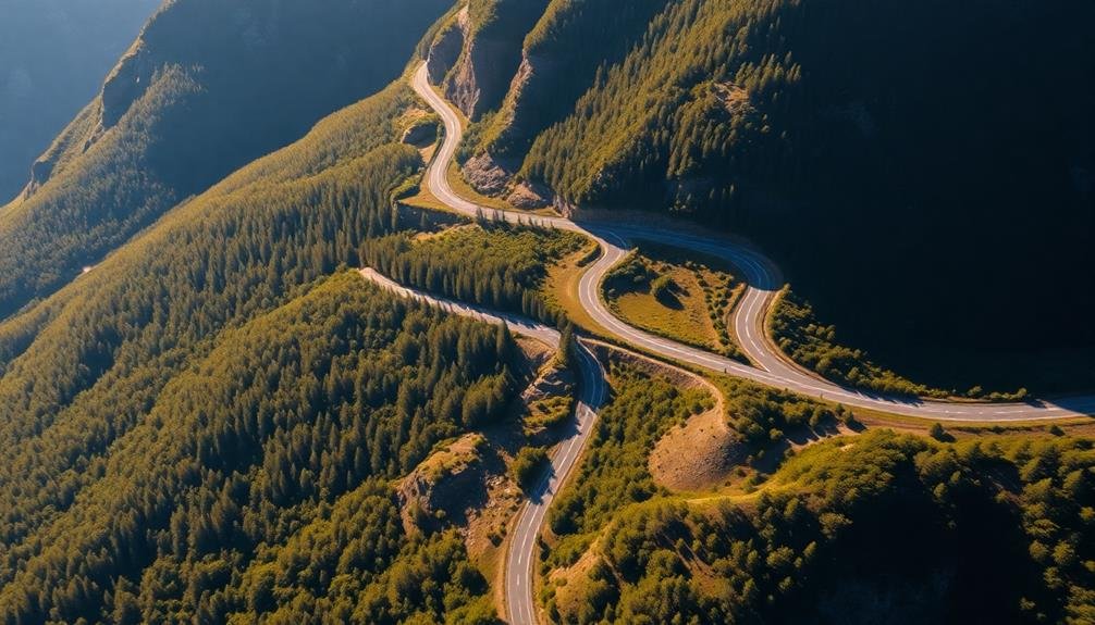
Three key elements make roads and highways ideal for leading lines in drone photography. First, their linear nature naturally draws the viewer's eye through the composition. You'll find that straight roads create strong, bold lines, while winding roads add a sense of mystery and intrigue.
Second, roads often contrast sharply with their surroundings, whether cutting through lush greenery, desert landscapes, or urban environments. This contrast enhances the leading line effect, making it more prominent in your shots.
Third, roads offer versatility in composition. You can position them diagonally for dynamic tension, use them to frame other elements, or create symmetry by centering them in your image. When shooting highways, try capturing interchanges and overpasses for complex, interweaving lines that add depth to your photographs.
To maximize the impact of roads as leading lines, experiment with different altitudes and angles. Low-altitude shots emphasize the road's perspective, while higher altitudes reveal intricate patterns and connections.
Don't forget to take into account lighting conditions; early morning or late afternoon sun can cast long shadows, further accentuating the lines and adding texture to your images.
Rivers and Coastlines
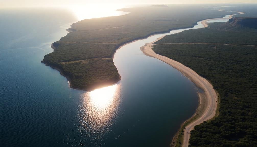
Rivers and coastlines offer some of the most enchanting leading lines in drone photography. These natural features create sinuous paths that can guide viewers' eyes through your composition, adding depth and interest to your aerial shots.
When photographing rivers, try to capture their winding nature from above. Look for bends and curves that create S-shapes or meanders, as these make for particularly compelling leading lines. You can use the river to lead the eye towards a focal point, such as a bridge, a waterfall, or a distant mountain range.
Coastlines provide a stark contrast between land and water, creating strong, natural leading lines. Experiment with different altitudes to showcase the interplay between shoreline and ocean. Capture the gentle curves of sandy beaches or the jagged edges of rocky cliffs.
You can use these lines to draw attention to interesting coastal features like lighthouses, piers, or seaside towns.
Don't forget to reflect on the time of day when shooting. Early morning or late afternoon light can enhance the visibility of these natural lines, creating long shadows that add another dimension to your composition.
Bridges and Overpasses
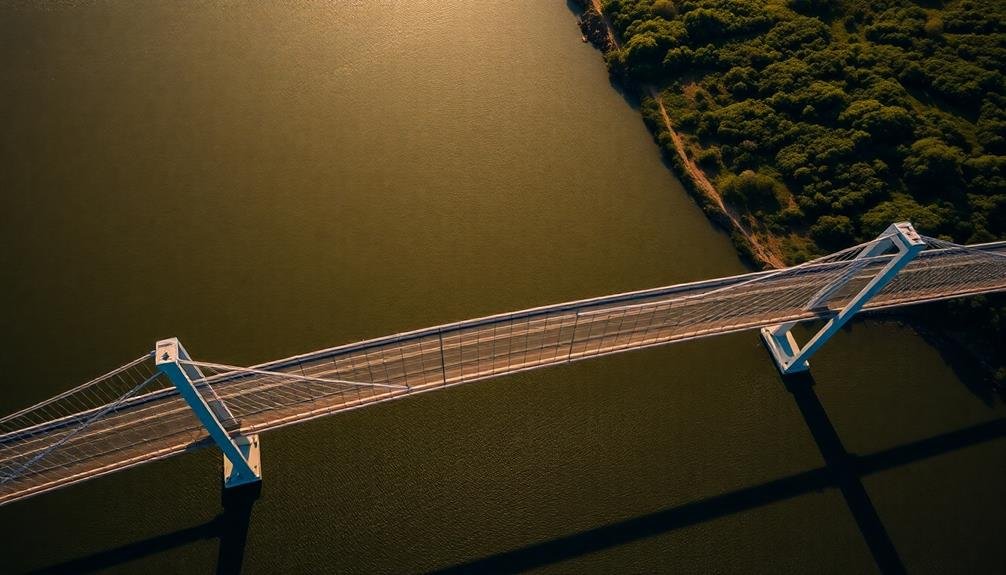
When photographing bridges and overpasses with your drone, you'll find plenty of opportunities to capture symmetry and geometric patterns.
You can highlight these structures' repeating elements, such as arches, trusses, or support beams, to create visually striking compositions.
For a dramatic effect, position your drone to capture vanishing point perspectives, where the bridge or overpass seems to stretch endlessly into the distance.
Symmetry and Geometric Patterns
Bridges and overpasses offer drone photographers a wealth of opportunities for capturing stunning symmetry and geometric patterns from above. You'll find that these structures often feature repeating elements, parallel lines, and balanced shapes that create visually striking compositions when viewed from a bird's eye perspective.
To make the most of symmetry and geometric patterns in your drone shots, look for:
| Element | Examples | Visual Impact |
|---|---|---|
| Repeating Shapes | Arches, Trusses | Rhythm, Flow |
| Parallel Lines | Road Lanes, Railings | Depth, Direction |
| Intersections | Roadways, Supports | Focal Points, Contrast |
When framing your shot, position your drone to emphasize these elements. Experiment with different angles and altitudes to find the most compelling composition. You can highlight symmetry by centering your subject or create dynamic tension by slightly offsetting it. Don't forget to take into account the surrounding environment – water reflections or shadows can enhance the geometric patterns of bridges and overpasses.
Vanishing Point Perspectives
Along with symmetry and geometric patterns, bridges and overpasses offer excellent opportunities for creating vanishing point perspectives in drone photography. These structures naturally draw the eye into the distance, creating a sense of depth and scale in your aerial shots.
When photographing bridges, position your drone to capture the full length of the structure. Align the bridge's lines to converge at a single point in the distance, emphasizing the vanishing point effect.
For overpasses, try shooting from directly above or at a slight angle to showcase the repetitive patterns of the roadway disappearing into the horizon.
Experiment with different altitudes to find the ideal height for your shot. Lower altitudes can emphasize the bridge's details, while higher vantage points may better showcase the surrounding landscape.
Consider the time of day and lighting conditions to enhance the contrast between the structure and its surroundings.
Don't forget to include elements that provide scale, such as vehicles or pedestrians on the bridge. This helps viewers better understand the size and grandeur of the structure you're capturing.
Agricultural Fields and Patterns
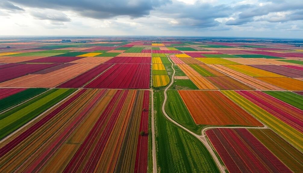
Agricultural fields often provide a wealth of leading lines for drone photographers. From above, you'll see rows of crops, irrigation patterns, and field boundaries that create striking linear compositions. These natural patterns can guide the viewer's eye through your image, adding depth and interest to your aerial shots.
When shooting agricultural landscapes, look for:
| Feature | Visual Effect |
|---|---|
| Crop rows | Parallel lines |
| Pivot irrigation | Circular patterns |
| Field boundaries | Geometric shapes |
| Contour farming | Curved lines |
| Harvested areas | Textural contrast |
You'll want to experiment with different altitudes and angles to capture the most compelling compositions. Lower altitudes can emphasize the texture of crops, while higher altitudes reveal the broader patterns of multiple fields. Consider the time of day and season, as shadows and crop growth stages can dramatically alter the visual impact of leading lines.
Don't forget to incorporate other elements into your agricultural shots. A lone tree, farm building, or winding road can serve as a focal point, creating tension with the field's dominant lines. By mastering the use of agricultural patterns, you'll add a powerful tool to your drone photography arsenal.
Urban Street Grids
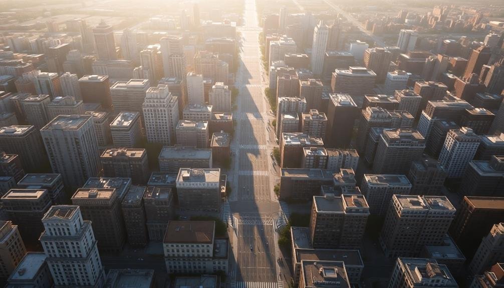
Urban street grids offer you a wealth of opportunities for capturing geometric patterns from above.
You'll find striking symmetry in the layout of city blocks, intersections, and roadways when viewed from a drone's perspective.
Capturing Geometric Patterns
Countless geometric patterns emerge when you view urban landscapes from above, with street grids offering some of the most striking examples. As a drone photographer, you'll find these patterns provide excellent opportunities for creating visually compelling images using leading lines.
To capture urban geometric patterns effectively:
- Fly at different altitudes to experiment with scale and perspective.
- Look for intersections and roundabouts that create unique shapes.
- Use post-processing tools to enhance contrast and emphasize lines.
When shooting street grids, pay attention to the time of day. Early morning or late afternoon light can cast long shadows, adding depth and dimension to your compositions.
You'll also want to reflect on the city's layout and architecture. Some cities, like New York or Chicago, have distinct grid patterns that create strong visual impact, while others may have more organic layouts that offer subtler geometric shapes.
Don't limit yourself to just streets. Look for other urban elements that create patterns, such as rows of buildings, parking lots, or parks.
Highlighting City Symmetry
Building on the concept of geometric patterns, city symmetry offers drone photographers an exceptional canvas for creating visually stunning images. Urban street grids provide a unique opportunity to capture leading lines that draw the viewer's eye across the frame.
To highlight city symmetry, position your drone directly above intersections or long, straight avenues. This bird's-eye view reveals the intricate network of streets and buildings, creating a mesmerizing pattern.
Look for cities with well-planned layouts, such as Barcelona's grid system or New York's Manhattan streets. These offer perfect symmetry and repetition. Experiment with different altitudes to find the sweet spot that best showcases the urban geometry. You'll want to capture enough detail while maintaining the overall pattern.
Try shooting during golden hour or at night to add depth and contrast to your images. Streetlights and car headlights can create additional leading lines, enhancing the symmetrical effect.
Don't forget to pay attention to color contrasts between buildings, roads, and green spaces. These elements can further emphasize the city's symmetry and add visual interest to your drone photographs.
Railway Tracks
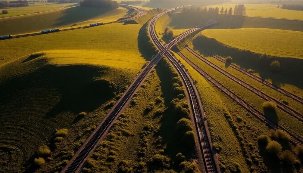
Railway tracks offer some of the most compelling leading lines for drone photographers. These long, parallel lines naturally draw the viewer's eye into the image, creating a strong sense of depth and perspective.
When capturing railway tracks from above, you'll want to take into account the surrounding landscape and how it complements the linear nature of the tracks.
To make the most of railway tracks in your drone photography:
- Look for curves: Tracks that bend or curve add visual interest and can lead the eye through the frame in a more dynamic way.
- Capture intersections: Where tracks meet or cross, you'll find intriguing geometric patterns that can serve as focal points.
- Use contrast: Seek out tracks that stand out against their surroundings, such as dark rails cutting through snowy fields or lush green landscapes.
Don't forget to take into account the time of day and lighting conditions. Early morning or late afternoon light can cast long shadows across the tracks, enhancing their linear quality.
You can also experiment with different altitudes to find the perfect balance between showcasing the tracks and including enough context from the surrounding environment.
Remember to always prioritize safety and follow local regulations when flying near railway infrastructure.
Fences and Boundaries
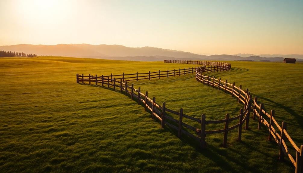
When photographing fences and boundaries from above, you'll find they naturally emphasize property divisions.
You can use these linear elements to create striking geometric patterns in your drone shots. By adjusting your altitude and angle, you'll capture how these man-made structures intersect with the landscape, adding depth and interest to your compositions.
Emphasize Property Divisions
Demarcation takes on a new dimension when viewed from above. Drone photography offers a unique opportunity to showcase property divisions in ways that ground-level shots simply can't match. When you're capturing these aerial views, you'll want to emphasize the lines that separate different parcels of land, creating a visually striking composition that tells a story about ownership and land use.
To effectively highlight property divisions in your drone shots:
- Look for contrasting colors between adjacent properties, such as differently cultivated fields or varied landscaping techniques.
- Use shadows cast by fences or hedgerows to create natural lines that define boundaries.
- Capture images during golden hour to accentuate subtle differences in terrain or vegetation that mark property lines.
You can also leverage man-made features like roads, paths, or irrigation systems that often follow property boundaries.
Don't forget to take into account the season – stark contrasts between snowy and cleared land in winter, or varying crop heights in summer, can create compelling visuals.
Create Geometric Patterns
Fences and boundaries often create striking geometric patterns when viewed from above. You can use these structures to add visual interest and depth to your drone photography. Look for properties with well-defined borders, agricultural fields, or urban developments to capture intriguing geometric shapes.
When composing your shot, consider the following elements:
| Element | Effect |
|---|---|
| Symmetry | Creates balance and harmony |
| Repetition | Adds rhythm and visual flow |
| Contrast | Emphasizes shapes and boundaries |
| Intersections | Draws the eye to focal points |
| Negative space | Enhances the impact of geometric forms |
To make the most of geometric patterns, try varying your altitude and angle. Higher flights can reveal larger-scale patterns, while lower altitudes highlight intricate details. Experiment with different times of day to capture shadows that accentuate the shapes.
Don't limit yourself to man-made structures; natural features like coastlines, river systems, and rock formations can also create intriguing geometric designs. By combining these elements with careful composition and lighting, you'll create drone photographs that are both visually striking and engaging to viewers.
Tree Lines and Forests
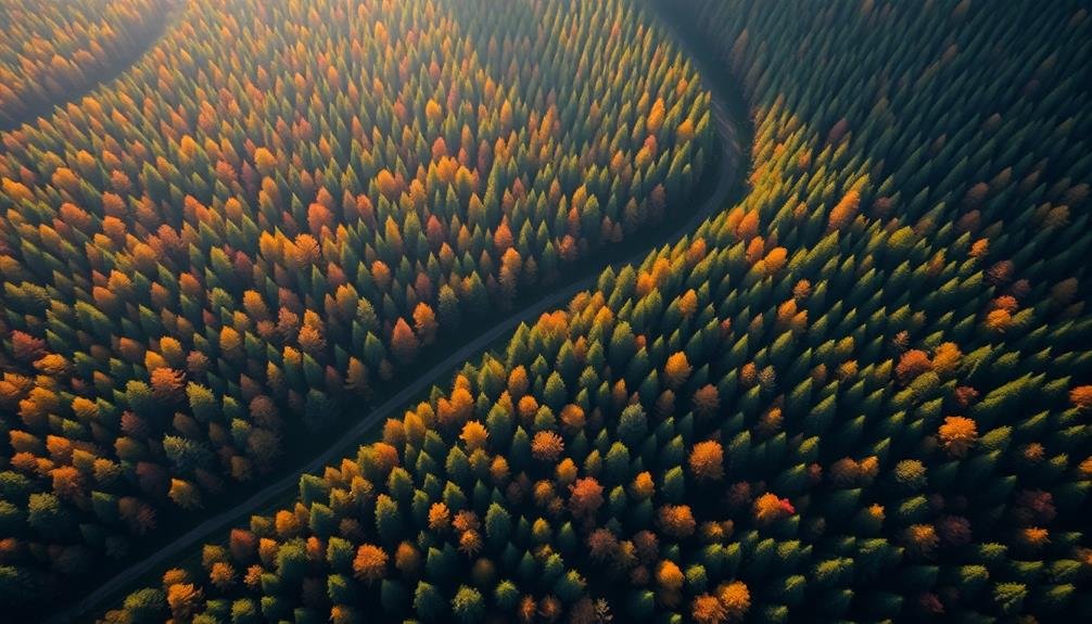
Tree lines and forests stand out as powerful leading lines in drone photography. They offer natural patterns that draw the viewer's eye through your composition. When shooting from above, you'll notice how tree lines create distinct borders and pathways across the landscape.
These organic lines can guide attention to your main subject or create a sense of depth and scale in your images.
To effectively use tree lines and forests as leading lines:
- Look for long, winding tree lines that curve through the frame.
- Capture the contrast between dense forests and open spaces.
- Use the patterns created by uniform plantations or orchards.
You'll find that tree lines often follow natural contours of the land, highlighting ridges, valleys, and waterways. This can add an extra layer of interest to your drone shots.
Don't be afraid to experiment with different heights and angles to emphasize these lines. Early morning or late afternoon light can enhance the shadows cast by trees, making their linear qualities more pronounced.
Shadows and Light Patterns
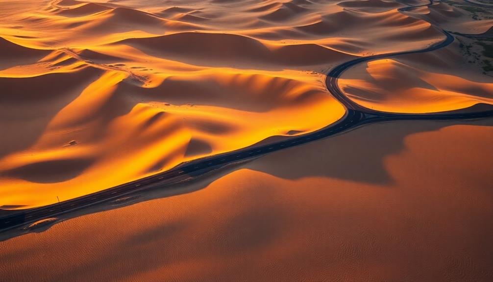
Two powerful elements in drone photography, shadows and light patterns, can create striking leading lines that transform your aerial shots. As the sun moves across the sky, it casts long shadows that can guide the viewer's eye through your composition. Look for tall structures like buildings, trees, or even people to create these dramatic lines. Early morning or late afternoon light works best for this effect.
You can also use light patterns to create leading lines. Sunlight reflecting off water bodies, car headlights on highways at night, or even the glow of city lights can form enchanting linear patterns. To capture these, experiment with your drone's altitude and angle. Sometimes, flying lower can emphasize the lines more effectively.
Don't forget about natural light patterns. Sunbeams breaking through clouds or shafts of light in foggy forests can create ethereal leading lines. To capture these, you'll need to be patient and wait for the right conditions. Pay attention to weather forecasts and plan your shoots accordingly.
Architectural Features
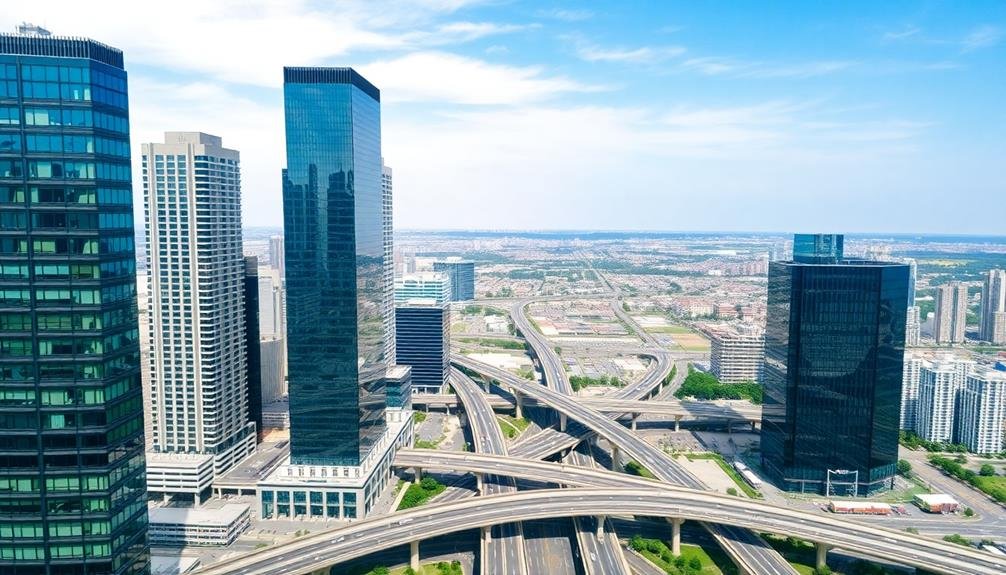
How can architectural features enhance your drone photography? Buildings, bridges, and other man-made structures offer a wealth of leading lines to guide viewers' eyes through your aerial compositions. By leveraging these elements, you'll create more dynamic and visually engaging images that tell a compelling story from above.
When capturing architectural features with your drone, consider these key techniques:
- Align symmetrical structures: Position your drone to capture perfect symmetry in buildings, creating a strong central focal point.
- Follow curved lines: Utilize winding roads, arched bridges, or spiral staircases to lead the eye through the frame.
- Highlight contrasting elements: Juxtapose straight lines of modern architecture against organic shapes in the surrounding landscape.
Look for repeating patterns in windows, rooftops, or city blocks to create rhythm and visual interest.
Experiment with different angles and altitudes to find the most striking compositions. Use architectural features to frame other elements in your shot, like a cityscape or natural landscape.
Don't forget to play with perspective – low-angle shots can make buildings appear more imposing, while high-altitude views can reveal hidden geometric patterns in urban layouts.
Frequently Asked Questions
What Camera Settings Are Best for Capturing Leading Lines With a Drone?
You'll want to use a narrow aperture (f/8-f/11) for depth of field, a fast shutter speed to avoid motion blur, and a low ISO for crisp images. Experiment with different focal lengths to emphasize your leading lines.
How Can I Ensure My Drone's Stability When Photographing Leading Lines?
You'll want to fly in calm conditions and use your drone's stabilization features. Engage GPS mode, adjust gimbal settings, and maintain a steady altitude. Practice smooth movements and consider using auto-exposure to focus on composition.
Are There Specific Times of Day Ideal for Shooting Leading Lines?
You'll find early morning and late afternoon ideal for shooting leading lines. The low sun creates long shadows, enhancing depth and contrast. Avoid midday when harsh light flattens the scene. Cloudy days can offer soft, even lighting too.
What Post-Processing Techniques Enhance Leading Lines in Drone Photos?
To enhance leading lines in your drone photos, you'll want to boost contrast, adjust sharpness, and use subtle vignetting. Don't forget to straighten horizons and experiment with color grading to make those lines pop even more.
How Do I Comply With Drone Regulations When Photographing Leading Lines?
You'll need to follow local drone laws, register your drone, and obtain necessary permits. Always fly within visual line of sight, respect altitude limits, and avoid restricted areas. Check regulations before each flight to guarantee compliance.
In Summary
You've now got a powerful toolkit for creating dynamic drone photos using leading lines. By incorporating roads, rivers, bridges, fields, and urban grids, you'll add depth and interest to your shots. Don't forget natural elements like tree lines and shadows, or man-made structures like fences and architectural features. As you practice, you'll develop an eye for spotting these lines in various landscapes. Keep experimenting, and you'll soon master the art of leading lines in drone photography.

As educators and advocates for responsible drone use, we’re committed to sharing our knowledge and expertise with aspiring aerial photographers.


Leave a Reply