Thermal imaging equips you with five vital tactics for swift disaster response. You can rapidly detect heat sources to locate survivors and hazards, identify trapped individuals in rubble by detecting body heat, map wildfire progression in real-time for strategic firefighting, locate hidden structural vulnerabilities to prevent further damage, and assess flood extent by identifying temperature variations. These techniques allow you to see through smoke, darkness, and debris, providing critical information for effective rescue and mitigation efforts. By mastering these thermal imaging tactics, you'll enhance your team's ability to save lives and minimize damage in emergency situations. Discover how these advanced tools can revolutionize your disaster response strategies.
Rapid Heat Source Detection
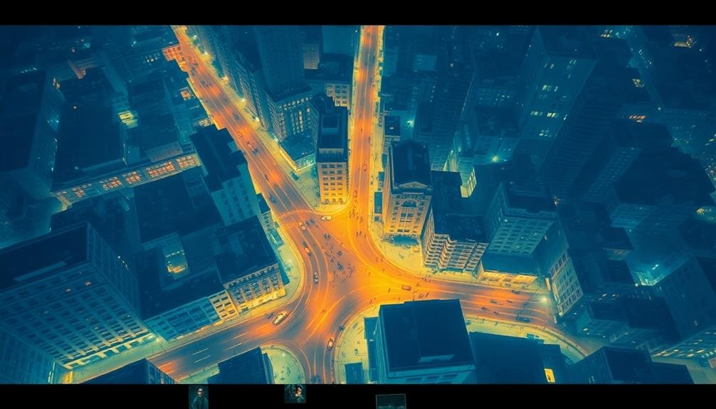
When disaster strikes, thermal imaging becomes an invaluable tool for rapid heat source detection. You'll find that these devices can quickly scan large areas, identifying heat signatures that may indicate survivors, fires, or potential hazards.
By using thermal cameras, you're able to see through smoke, darkness, and even some structural materials, giving you an essential advantage in time-sensitive situations.
To effectively use thermal imaging for rapid heat source detection, you'll need to understand the technology's capabilities and limitations. You should calibrate your equipment before use and be aware of potential false positives caused by reflective surfaces or residual heat.
As you scan an area, look for distinct heat patterns that could signify trapped individuals or hidden fire sources. You'll want to prioritize your search based on the most likely locations for survivors or potential dangers.
In collapsed buildings, focus on void spaces where people might be trapped. For wildfire scenarios, scan the perimeter to detect spot fires or underground hotspots.
Identifying Survivors in Rubble
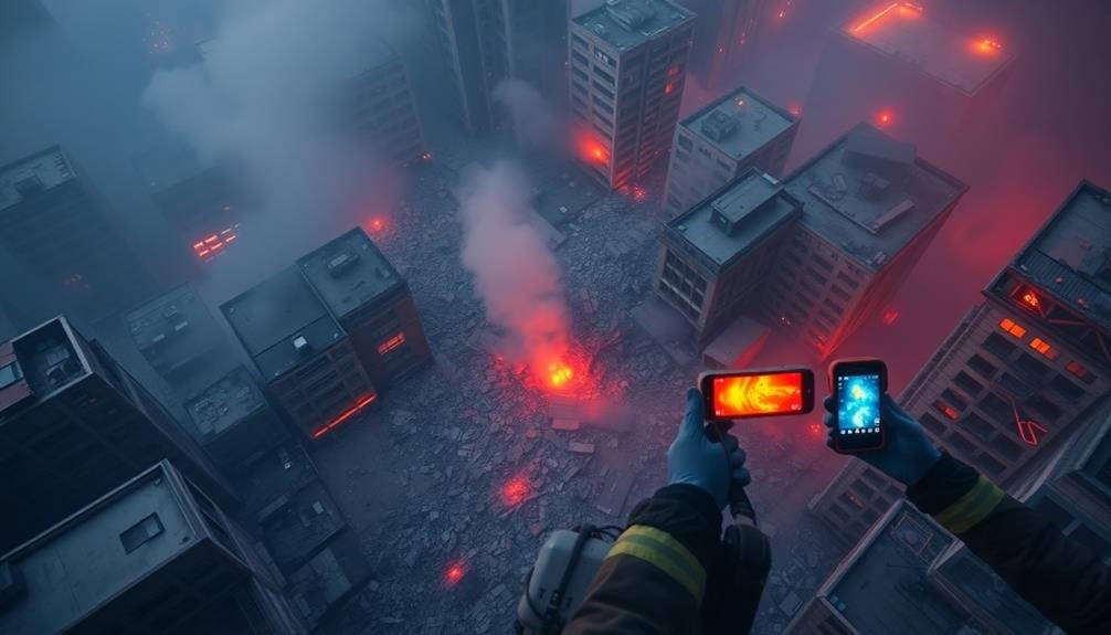
Although locating survivors in rubble presents considerable challenges, thermal imaging technology provides a powerful tool for search and rescue teams. You'll find that thermal cameras can detect body heat through debris, allowing you to identify potential survivors quickly.
When scanning rubble piles, focus on areas where voids or air pockets are likely to form, as these spaces offer the best chances for survival. You should sweep the camera systematically across the debris field, paying close attention to any heat signatures that resemble human body shapes.
Remember that survivors may be partially obscured, so look for even small indications of body heat. Time is critical, so you'll need to work efficiently while maintaining accuracy.
Be aware that other heat sources, such as machinery or animals, can create false positives. To differentiate, look for the distinct thermal patterns of human respiration and blood flow.
You can also use thermal imaging to guide rescue efforts by identifying safe paths through unstable rubble and detecting potential hazards like gas leaks or electrical fires. By combining thermal imaging with other search techniques, you'll greatly improve your chances of locating and rescuing survivors trapped in disaster debris.
Mapping Wildfire Progression
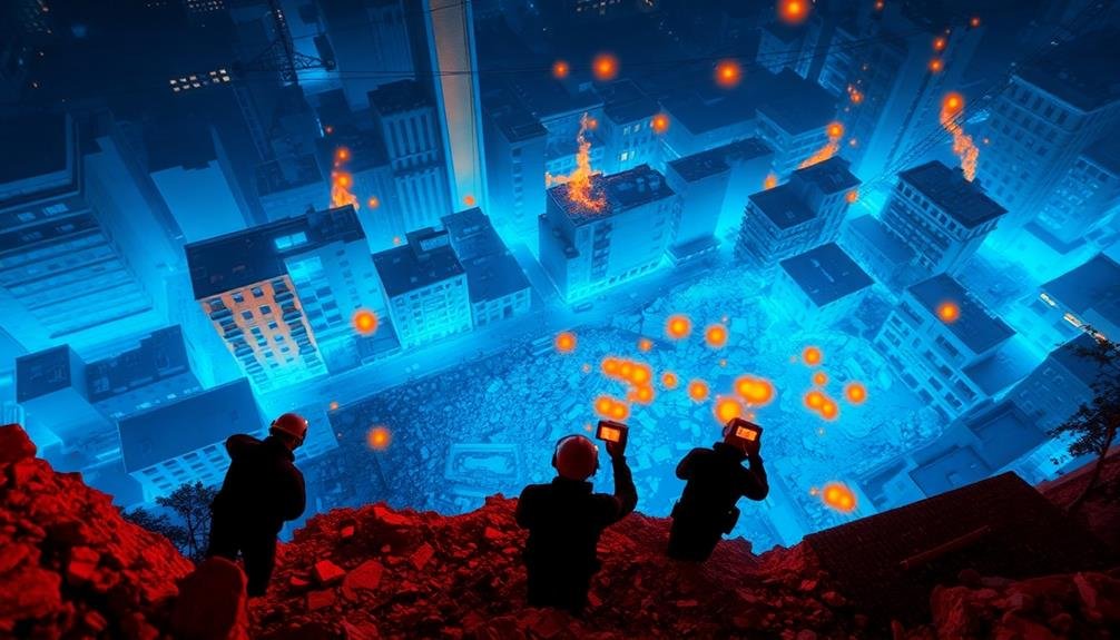
Thermal imaging technology isn't just for finding survivors in rubble—it's also a powerful tool for tracking wildfire spread. You can use thermal cameras mounted on aircraft or drones to create real-time heat maps of fire progression. These maps allow you to identify hotspots, predict the fire's path, and allocate resources more effectively.
When mapping wildfires, you'll need to take into account several factors. First, choose the right thermal imaging equipment with appropriate sensitivity and resolution for large-scale fire detection. Next, establish a consistent flight pattern to guarantee thorough coverage of the affected area.
As you collect data, use specialized software to stitch together thermal images and create a cohesive map of the fire's extent. You can enhance your wildfire mapping by integrating other data sources, such as wind direction, topography, and fuel density.
This combination allows for more accurate predictions of fire behavior and spread. Remember to update your maps frequently, as wildfires can change rapidly. By providing firefighters and incident commanders with up-to-date thermal imaging data, you'll enable them to make informed decisions, protect vulnerable areas, and combat the blaze more efficiently.
Locating Structural Vulnerabilities
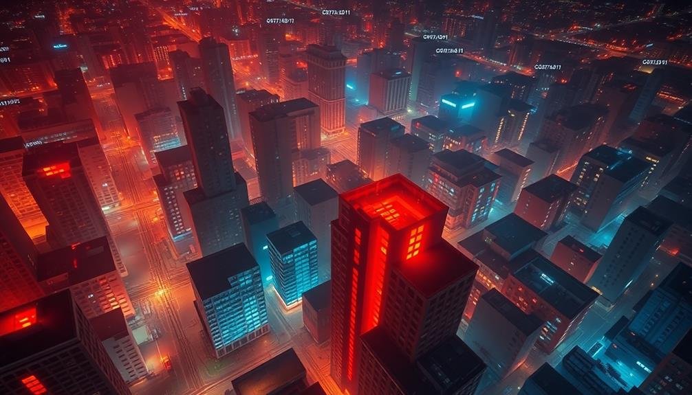
In the aftermath of a disaster, thermal imaging plays an essential role in identifying structural vulnerabilities. You'll find that thermal cameras can detect hidden issues within buildings and infrastructure that aren't visible to the naked eye. These devices help you pinpoint areas of weakness, potential collapse, or ongoing damage that require immediate attention.
As you scan buildings, look for temperature anomalies that might indicate structural problems. Hot spots can reveal electrical issues or smoldering fires, while cold spots might suggest water damage or insulation failures. Pay close attention to load-bearing walls, support beams, and foundations, as these are critical for overall structural integrity.
You'll also want to use thermal imaging to detect moisture intrusion, which can lead to mold growth and further deterioration. Scan roofs and upper floors for signs of water accumulation or leaks.
Don't forget to check for gas leaks by looking for unusual heat signatures around pipes and connections.
Assessing Flood Extent
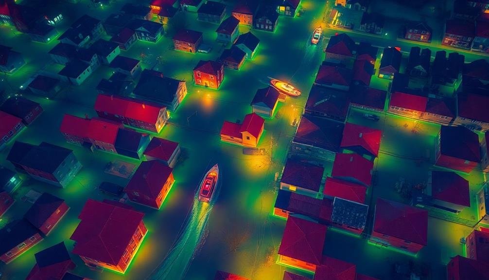
When disaster strikes and flooding occurs, thermal imaging becomes a powerful tool for evaluating the extent of water damage. You'll find that thermal cameras can detect temperature differences between water-soaked areas and dry surfaces, allowing you to quickly assess the flood's reach.
By using this technology, you're able to identify affected regions that mightn't be visible to the naked eye, especially in low-light conditions or when floodwaters have receded.
To effectively assess flood extent with thermal imaging, consider these key points:
- Use a wide-angle lens to capture larger areas at once
- Look for distinct temperature variations that indicate water presence
- Pay attention to patterns that suggest water flow or pooling
- Compare thermal images with visible light photos for better context
- Utilize drones equipped with thermal cameras for aerial surveys
You'll need to interpret the thermal images carefully, as different materials can retain heat differently. Remember that water-damaged areas often appear cooler than surrounding dry areas.
Frequently Asked Questions
How Much Does Thermal Imaging Equipment Cost for Disaster Response Teams?
You'll find thermal imaging equipment for disaster response teams can range from $1,000 to $50,000. Handheld devices are cheaper, while advanced systems cost more. Prices vary based on features, resolution, and durability.
Can Thermal Cameras Detect People Through Thick Smoke or Fog?
Yes, thermal cameras can detect people through thick smoke or fog. They're designed to sense heat signatures, not visible light. You'll find them effective in low-visibility conditions, making them invaluable for search and rescue operations.
What Training Is Required to Effectively Operate Thermal Imaging Devices?
You'll need hands-on training to operate thermal imaging devices effectively. Learn about temperature interpretation, device settings, and image analysis. Practice in various environments and scenarios to improve your skills. Certification courses are often available.
How Long Do Thermal Imaging Camera Batteries Typically Last in the Field?
You'll typically get 2-4 hours of continuous use from thermal camera batteries. It's smart to carry spares. Battery life can vary based on the model, features used, and environmental conditions you're operating in.
Are There Any Health Risks Associated With Prolonged Use of Thermal Cameras?
You'll be relieved to know that thermal cameras don't pose significant health risks with prolonged use. They're non-invasive and don't emit harmful radiation. However, you should still take regular breaks to prevent eye strain and fatigue.
In Summary
You've now seen how thermal imaging can revolutionize disaster response. By incorporating these five tactics, you'll be better equipped to save lives and minimize damage. Remember, swift detection of heat sources, locating survivors, tracking wildfires, identifying structural weaknesses, and evaluating flood extent are all within your reach. Don't hesitate to embrace this technology. It's a game-changer in emergency situations, giving you an edge when every second counts. Stay prepared and keep these tools at the ready.
As educators and advocates for responsible drone use, we’re committed to sharing our knowledge and expertise with aspiring aerial photographers.


Leave a Reply