You'll find three top UAV techniques for wildfire detection and tracking that are revolutionizing firefighting efforts. Thermal imaging drones use advanced cameras to spot heat signatures, identifying hotspots and fire progression 24/7. Multispectral sensor deployment captures data across various wavelengths, enhancing fire behavior analysis and risk evaluation. AI-powered smoke detection systems employ machine learning to analyze real-time imagery, reducing false alarms and predicting fire spread patterns. These cutting-edge technologies enable rapid response, improved accuracy, and thorough fire mapping. By combining these techniques, firefighters can gain a significant advantage in battling wildfires. Discover how these innovations are transforming wildfire management and saving lives.
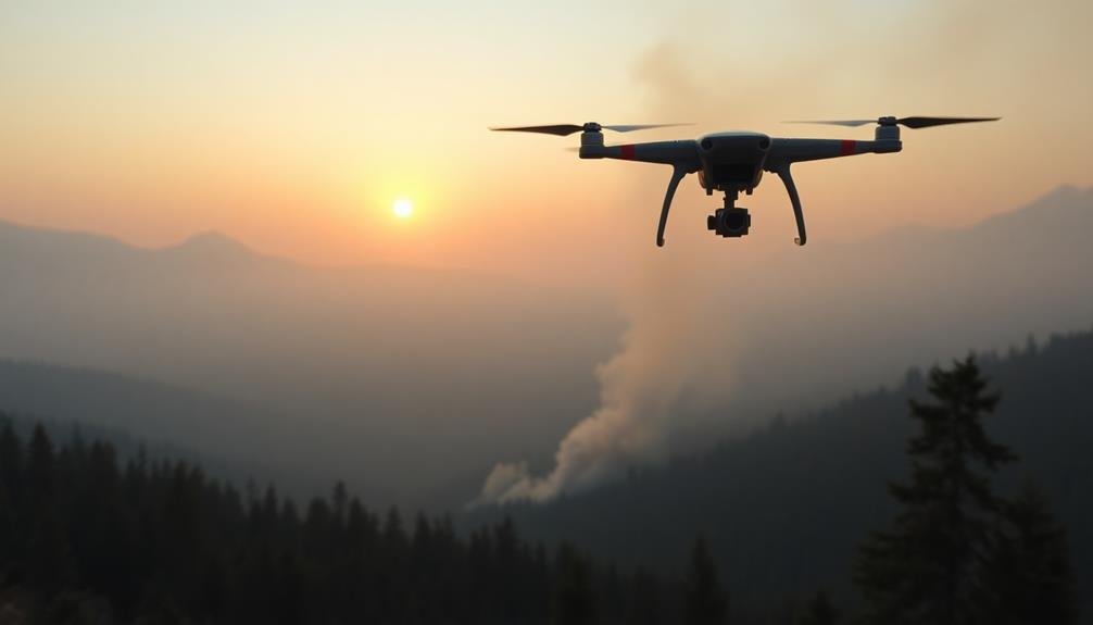
Thermal Imaging Drones
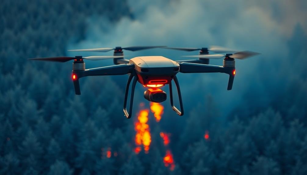
While traditional fire detection methods rely on human observation, thermal imaging drones have revolutionized wildfire detection. These UAVs are equipped with advanced thermal cameras that can detect heat signatures from great distances, allowing you to spot potential fires before they become visible to the naked eye.
You'll find that thermal imaging drones can operate day or night, providing essential 24/7 monitoring capabilities. They're particularly effective in detecting hotspots, which are areas of intense heat that may indicate the start of a fire or areas where a fire might reignite. By identifying these hotspots early, you can deploy firefighting resources more efficiently and prevent small fires from becoming uncontrollable infernos.
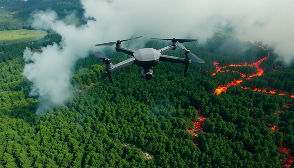
When using thermal imaging drones, you'll benefit from their ability to cover large areas quickly and access hard-to-reach locations. They can transmit real-time data to ground teams, enabling faster decision-making and more targeted responses.
You'll also appreciate their capacity to create detailed thermal maps of fire-affected areas, which can help you track the fire's progression and plan containment strategies more effectively.
Multispectral Sensor Deployment
Building on the capabilities of thermal imaging, multispectral sensor deployment takes UAV wildfire detection to the next level. You'll find that these advanced sensors can capture data across multiple wavelengths of light, providing a more thorough view of the fire's behavior and its impact on the surrounding environment.
When you're using multispectral sensors on your UAVs, you're able to:
- Detect active fire fronts with greater accuracy
- Identify areas of potential fire spread
- Assess vegetation health and fuel conditions
- Monitor post-fire recovery and regrowth
You'll notice that multispectral imagery allows you to distinguish between burned and unburned areas more effectively than traditional visual or thermal imaging alone. By analyzing the spectral signatures of different land cover types, you can quickly identify high-risk zones and prioritize firefighting efforts.
Don't forget that multispectral data can be combined with other sensor inputs to create detailed fire maps and predictive models. This integration enhances your ability to make informed decisions about resource allocation and evacuation planning.
With multispectral sensor deployment, you're equipping your wildfire management team with cutting-edge technology that greatly improves detection, monitoring, and response capabilities.
AI-Powered Smoke Detection Systems
Harnessing the power of artificial intelligence, AI-powered smoke detection systems represent a remarkable leap forward in UAV wildfire monitoring capabilities.
These advanced systems use machine learning algorithms to analyze real-time imagery from UAV cameras, quickly identifying smoke plumes and potential fire hotspots.
You'll find that AI-powered smoke detection can considerably reduce false alarms and increase early detection rates. The algorithms are trained on vast datasets of smoke and non-smoke images, enabling them to differentiate between smoke and other atmospheric phenomena like clouds or dust.
As you operate your UAV, the AI system processes incoming video feeds instantly. It'll alert you to any suspicious smoke signatures, allowing for rapid response and verification.
Some systems can even predict fire spread patterns based on detected smoke movement and environmental data.
You can integrate these AI systems with other UAV sensors, such as thermal cameras, for a more thorough fire detection approach.
This multi-sensor fusion enhances accuracy and provides you with a fuller picture of the developing fire situation.
Frequently Asked Questions
What Legal Requirements Must Be Met to Operate UAVS for Wildfire Detection?
You'll need to obtain a remote pilot certificate, register your UAV with the FAA, and follow Part 107 rules. You must also comply with local regulations, obtain necessary permits, and coordinate with fire authorities when operating.
How Do Weather Conditions Affect UAV Performance in Wildfire Monitoring?
You'll find weather impacts UAV performance considerably. Wind can disrupt flight paths and stability. Smoke reduces visibility and air quality. Heat affects battery life and sensors. Rain may interfere with electronics. Always check conditions before flying.
What Is the Average Flight Time for UAVS Used in Wildfire Detection?
You'll find that average flight times for UAVs in wildfire detection vary widely. They typically range from 30 minutes to 4 hours, depending on the drone's size, battery capacity, and payload. You'll need to take into account these factors when planning missions.
Are There Any Specialized Training Programs for UAV Pilots in Wildfire Operations?
Yes, you'll find specialized training programs for UAV pilots in wildfire operations. They cover fire behavior, safety protocols, and drone-specific skills. You can enroll in courses offered by firefighting agencies, aviation schools, and drone manufacturers.
How Do UAVS Communicate Data to Ground Control Stations During Wildfire Missions?
You'll find UAVs typically communicate with ground stations using radio frequencies or satellite links. They'll transmit real-time video, thermal imagery, and telemetry data. Some advanced systems use mesh networks for extended range and improved connectivity.
In Summary
You've now explored three cutting-edge UAV techniques for wildfire detection and tracking. By using thermal imaging drones, deploying multispectral sensors, and implementing AI-powered smoke detection systems, you're better equipped to tackle this vital challenge. Remember, these technologies aren't just tools; they're lifesavers. As you continue to refine your approach, you'll play a significant role in early fire detection and management. Stay innovative and keep pushing the boundaries of what's possible in wildfire prevention.
As educators and advocates for responsible drone use, we’re committed to sharing our knowledge and expertise with aspiring aerial photographers.


Leave a Reply