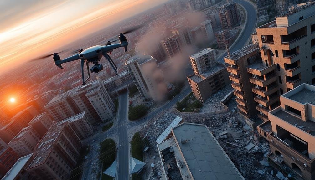
UAV inspection techniques have revolutionized rapid earthquake impact evaluation, allowing for swift and thorough assessments of affected areas. You'll find drones equipped with high-resolution cameras, LiDAR, and thermal sensors enabling detailed mapping and structural analysis. Pre-flight planning is essential, involving mission objectives, equipment verification, and critical area identification. Once airborne, UAVs employ various data collection strategies, including aerial mapping and real-time transmission. Advanced image processing and analysis techniques then come into play, helping identify structural damage and create real-time maps. By integrating with emergency response systems, these UAV-based assessments greatly enhance situational awareness and decision-making capabilities. Exploring further will reveal the full potential of this cutting-edge technology in disaster response.
UAV Technology for Earthquake Assessment
Numerous UAV technologies have revolutionized earthquake assessment in recent years. You'll find that drones equipped with high-resolution cameras and LiDAR sensors are at the forefront of this innovation. These tools allow for rapid, detailed mapping of affected areas, providing essential data on structural damage and terrain changes.
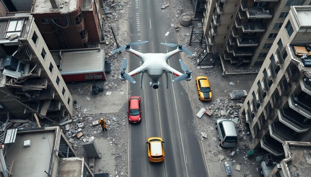
You can deploy multirotor drones for close-range inspections of buildings and infrastructure. They're ideal for accessing hard-to-reach areas and capturing detailed imagery of cracks, collapses, and other damage.
Fixed-wing UAVs, on the other hand, excel at covering large areas quickly, giving you a broader perspective of the disaster zone.
Thermal imaging cameras mounted on drones help you detect heat signatures, which can be invaluable for locating survivors trapped in rubble. Additionally, you'll find that GPS-enabled UAVs with autonomous flight capabilities can navigate pre-programmed routes, ensuring consistent and repeatable data collection.
Real-time data transmission systems allow you to stream footage and sensor readings directly to emergency response teams, enabling faster decision-making and resource allocation.
Pre-flight Planning and Preparation

Begin your pre-flight planning by clearly defining your mission objectives for the earthquake impact assessment.
You'll need to guarantee all necessary equipment, including the UAV, sensors, and imaging devices, are in proper working order and calibrated for the specific inspection tasks.
Don't forget to verify that your flight planning software is up-to-date and configured correctly for the area you'll be surveying.
Mission Objectives Assessment
Successful UAV inspections for earthquake impact evaluation hinge on thorough mission objectives assessment during pre-flight planning and preparation.
You'll need to clearly define your goals and prioritize tasks to guarantee efficient data collection and analysis. Consider the specific information required by emergency responders, structural engineers, and relief organizations.
Your mission objectives assessment should include:
- Identifying critical infrastructure and high-risk areas
- Determining the required level of detail for imagery and data
- Establishing flight patterns and altitudes for ideal coverage
- Defining data processing and sharing protocols
You'll want to align your objectives with the overall disaster response strategy.
This might involve coordinating with ground teams to focus on areas of immediate concern or planning multiple flights to monitor ongoing structural changes.
Don't forget to factor in time constraints and battery life limitations when setting your objectives.
Equipment and Software Readiness
The backbone of any successful UAV inspection mission is proper equipment and software readiness. Before deploying your UAV for earthquake impact evaluation, you'll need to guarantee all components are in working order.
Start by inspecting your drone's physical condition, checking for any damage or loose parts. Verify that batteries are fully charged and you've packed spares for extended missions.
Next, update your drone's firmware and flight control software to the latest versions. This guarantees you have access to the most recent features and bug fixes.
Don't forget to calibrate your UAV's sensors, including the compass and IMU, for accurate data collection.
Prepare your imaging equipment, such as high-resolution cameras or thermal sensors. Confirm they're securely attached and properly configured.
Install and test any specialized software you'll need for data processing and analysis.
Data Collection Strategies
You'll employ aerial mapping techniques to systematically capture high-resolution imagery of the affected area.
Your UAV's flight path should be optimized to cover the entire region of interest efficiently while maintaining consistent altitude and overlap between images.
Implementing real-time data transmission allows you to monitor the quality of collected data and make immediate adjustments to your flight plan if necessary.
Aerial Mapping Techniques
Numerous aerial mapping techniques are essential for effective UAV-based earthquake impact evaluation.
You'll need to employ various methods to capture extensive data about the affected areas. One key technique is photogrammetry, which involves taking multiple overlapping images and processing them to create detailed 3D models of the terrain and structures.
LiDAR scanning is another powerful tool you can use. It allows for precise measurement of distances and creation of point clouds, providing accurate representations of the landscape and buildings.
Thermal imaging is invaluable for detecting heat signatures that may indicate trapped survivors or potential hazards like gas leaks.
When conducting aerial mapping for earthquake impact evaluation, consider these techniques:
- Orthomosaic mapping for large-scale, high-resolution 2D maps
- Multi-spectral imaging to assess vegetation health and soil composition
- Oblique imagery for detailed façade inspections of damaged buildings
- Real-time video streaming for immediate situational awareness
Real-Time Data Transmission
Once you've captured aerial data, transmitting it quickly and efficiently becomes paramount. Real-time data transmission allows for immediate analysis and decision-making during earthquake impact evaluations.
You'll need to equip your UAV with a robust communication system that can handle large data streams over long distances. Consider using 4G/5G cellular networks for urban areas with good coverage. These networks offer high bandwidth and low latency, ideal for transmitting high-resolution images and video feeds.
For remote locations, satellite communication systems provide global coverage but may have higher latency and lower data rates. Implement data compression algorithms to reduce transmission time and bandwidth requirements. You can prioritize critical data for immediate transmission while queuing less urgent information for later.
Use secure protocols to protect sensitive data during transmission. Set up a ground control station with powerful receivers and real-time processing capabilities. This station should be able to decode incoming data streams, display live video feeds, and integrate with mapping software for instant visualization.
Ascertain you have redundant power sources and backup communication channels to maintain uninterrupted data flow during extended operations.
Image Processing and Analysis

Image processing and analysis form the backbone of UAV-based earthquake damage assessment. You'll need to employ sophisticated algorithms to extract meaningful information from the vast amount of visual data collected by drones. These techniques allow you to identify structural damage, detect debris, and assess the overall impact of the earthquake on buildings and infrastructure.
When processing UAV imagery, you'll typically focus on:
- Orthorectification and mosaicking
- Feature extraction and classification
- Change detection analysis
- 3D reconstruction using photogrammetry
You'll start by correcting and stitching together individual images to create a thorough orthomosaic of the affected area. Next, you'll apply machine learning algorithms to classify objects and identify damage patterns. Change detection techniques will help you compare pre- and post-earthquake imagery, highlighting areas of significant alteration.
Finally, you'll use structure-from-motion algorithms to generate 3D models, enabling detailed structural analysis. As you process the data, you'll need to take into account factors like image resolution, spectral bands, and georeferencing accuracy.
You'll also want to implement quality control measures to guarantee the reliability of your analysis results. By leveraging these advanced image processing techniques, you'll be able to provide rapid, accurate assessments of earthquake damage to support emergency response efforts.
Structural Damage Identification Techniques
Building on the image processing techniques, structural damage identification is a key component of UAV-based earthquake assessment. You'll need to employ various methods to accurately detect and classify structural damage in the captured imagery.
Start by using edge detection algorithms to identify cracks, fissures, and structural deformations. These algorithms can highlight discontinuities in building surfaces, revealing potential weak points.
Next, implement pattern recognition techniques to identify common damage patterns, such as X-shaped cracks in walls or collapsed roof structures.
You should also utilize machine learning algorithms, particularly convolutional neural networks (CNNs), to automatically classify damage types and severity. Train these models on extensive datasets of earthquake damage images to improve their accuracy and reliability.
Don't forget to incorporate 3D reconstruction techniques, such as structure-from-motion (SfM), to create detailed 3D models of damaged buildings. These models can help you assess structural integrity and identify hidden damage that mightn't be visible in 2D images.
Real-time Mapping of Affected Areas
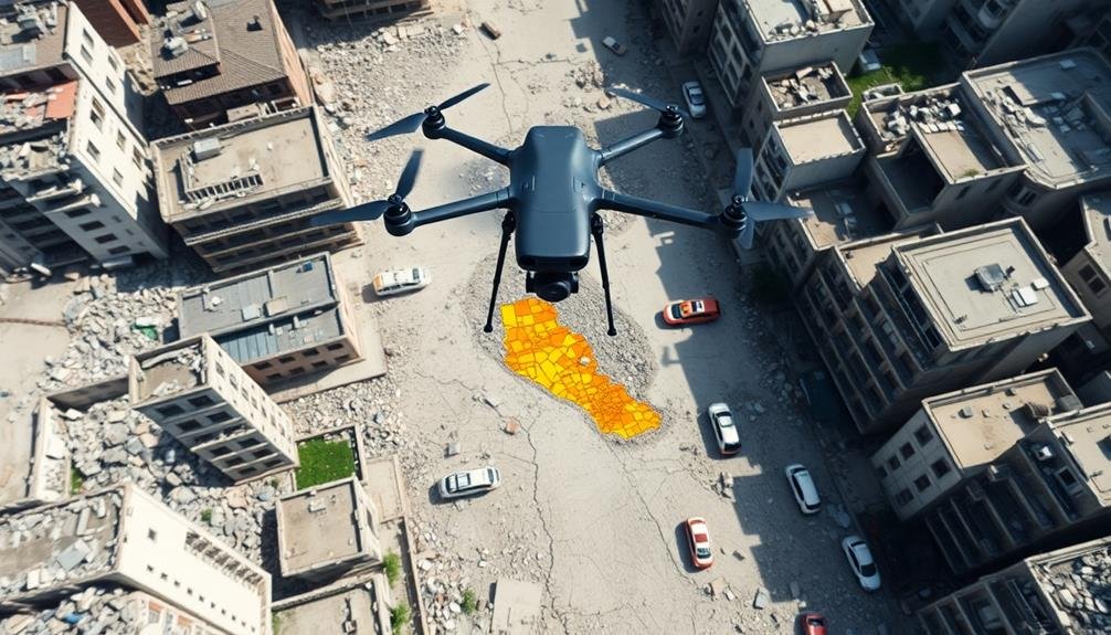
Real-time mapping of affected areas is essential for effective disaster response. UAVs equipped with advanced sensors and cameras can quickly survey large areas, providing up-to-date information on the extent of damage and identifying critical zones that require immediate attention.
You'll find that this approach considerably enhances situational awareness for emergency responders and decision-makers.
To create accurate real-time maps, you'll need to employ various techniques:
- Photogrammetry: Stitching together multiple aerial images to create detailed 2D and 3D maps
- LiDAR scanning: Using laser technology to generate precise elevation models and detect structural changes
- Thermal imaging: Identifying heat signatures to locate survivors or potential hazards
- Multispectral imaging: Analyzing different light wavelengths to assess vegetation health and detect environmental impacts
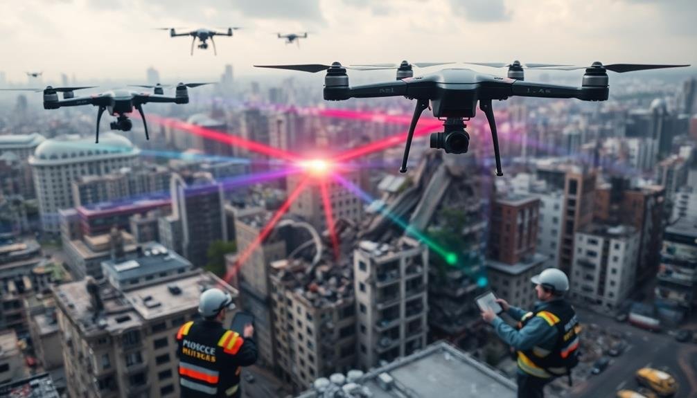
Integration With Emergency Response Systems
To maximize the effectiveness of UAV-based earthquake impact evaluation, integrating these systems with existing emergency response frameworks is essential. You'll need to establish clear communication channels between UAV operators and emergency response teams. This guarantees that critical information gathered by drones is quickly relayed to decision-makers on the ground.
Consider implementing a centralized data management system that can process and distribute UAV-collected data in real-time. You should also train emergency responders to interpret and act on the information provided by UAVs. This integration will greatly enhance situational awareness and resource allocation during disaster response efforts.
| Integration Aspect | Benefits | Challenges |
|---|---|---|
| Data Sharing | Improved coordination | Technical compatibility |
| Command Structure | Clear decision-making | Organizational resistance |
| Training Programs | Enhanced skill sets | Time and resource investment |
| Legal Framework | Streamlined operations | Regulatory hurdles |
Frequently Asked Questions
How Do UAVS Perform in Adverse Weather Conditions During Earthquake Assessments?
Your UAV's performance in adverse weather during earthquake assessments can be limited. Strong winds, rain, or snow may affect flight stability, reduce visibility, and shorten battery life. It's essential to evaluate weather conditions before deploying drones.
What Are the Legal and Ethical Considerations for Using UAVS in Disaster Zones?
You'll need to take into account privacy laws, restricted airspace, and local regulations when using UAVs in disaster zones. Ethical concerns include respecting survivors' dignity, avoiding interference with rescue efforts, and responsibly handling sensitive data you collect.
How Long Can UAVS Operate on a Single Battery Charge?
You'll find that UAV flight times vary widely. Consumer drones often last 20-30 minutes, while professional models can fly for 1-2 hours. Factors like payload, weather, and flying style will affect your drone's battery life.
What Training Is Required for Operators to Effectively Use UAVS in Earthquakes?
To effectively use UAVs in earthquakes, you'll need training in piloting, safety protocols, and disaster response. You should also learn about imaging techniques, data analysis, and local regulations. Hands-on practice and scenario-based training are essential for your preparedness.
How Do UAVS Compare to Satellite Imagery for Earthquake Damage Assessment?
You'll find UAVs offer faster, more detailed imagery than satellites for earthquake damage assessment. They're more flexible, can capture close-up views, and aren't hindered by cloud cover. However, satellites cover larger areas more quickly.
In Summary
You've explored powerful UAV techniques for rapid earthquake impact evaluation. By mastering pre-flight planning, data collection, and image analysis, you're now equipped to identify structural damage and map affected areas in real-time. Don't forget to integrate these tools with emergency response systems. Your newfound skills will prove invaluable in evaluating earthquake impacts quickly and efficiently, potentially saving lives and resources in critical situations.
As educators and advocates for responsible drone use, we’re committed to sharing our knowledge and expertise with aspiring aerial photographers.


Leave a Reply