
Imagery empowers rapid disaster recovery in seven essential ways. You'll benefit from immediate damage assessment, allowing for swift response. It optimizes resource allocation, ensuring efficient distribution of aid. Search and rescue operations become more effective with visual data. You can prioritize infrastructure repairs based on accurate assessments. Evacuation route planning improves, potentially saving lives. Real-time monitoring of hazards keeps responders informed and agile. Finally, it provides vital documentation for insurance claims, speeding up the recovery process. These visual tools revolutionize disaster management, offering a thorough view of the situation. Discover how each method transforms recovery efforts and saves lives.
Immediate Damage Assessment
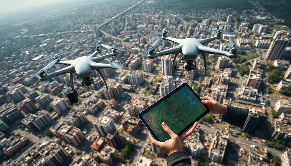
When disaster strikes, satellite imagery plays an essential role in immediate damage evaluation. You'll find that high-resolution satellite images provide an extensive overview of affected areas, allowing you to quickly identify the extent and severity of damage. These images can be captured within hours of a disaster, giving you real-time information to guide your response efforts.
You can use satellite imagery to detect structural damage to buildings, infrastructure, and natural landscapes. It's particularly useful for evaluating hard-to-reach areas or regions where ground access is limited due to safety concerns.
By analyzing before-and-after images, you'll be able to quantify the impact and prioritize resources effectively. Advanced image processing techniques, such as change detection algorithms, help you identify subtle changes that mightn't be apparent to the naked eye.
You can also combine satellite imagery with other data sources, like weather information or population density maps, to create a more extensive understanding of the situation.
Resource Allocation Optimization
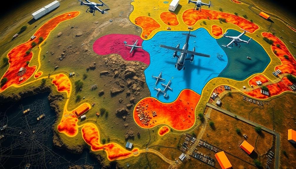
You'll find that imagery plays an essential role in optimizing resource allocation during disaster recovery.
By identifying and prioritizing critical areas, you can efficiently distribute resources where they're needed most.
Real-time decision-making becomes possible as you analyze up-to-date imagery, allowing for swift adjustments to your recovery strategy.
Prioritize Critical Areas
Numerous disaster recovery efforts face the challenge of limited resources and vast affected areas. Imagery plays an important role in helping you prioritize critical areas for immediate attention.
By analyzing high-resolution satellite or aerial images, you can quickly identify the most severely impacted regions, allowing for targeted resource allocation.
You'll be able to assess damage to essential infrastructure such as hospitals, power plants, and transportation networks. This information enables you to focus on restoring key services first, ensuring the greatest impact on the affected population.
Imagery also helps you locate isolated communities or neighborhoods that might otherwise be overlooked in the chaos of disaster response.
Efficient Resource Distribution
Imagery plays an essential role in optimizing resource allocation during disaster recovery. By analyzing aerial and satellite images, you can quickly identify areas that require immediate attention and resources. This visual data allows you to make informed decisions about where to send personnel, equipment, and supplies.
You'll be able to assess the extent of damage to infrastructure, such as roads, bridges, and power lines, enabling you to prioritize repair efforts. Imagery also helps you locate safe routes for emergency vehicles and supply deliveries, guaranteeing that resources reach affected areas efficiently.
By using up-to-date imagery, you can track the progress of recovery efforts and adjust resource allocation as needed. This real-time information allows you to respond to changing conditions on the ground, redirecting resources to areas that need them most.
Additionally, imagery can help you identify potential hazards or obstacles that may hinder recovery efforts, allowing you to plan alternative strategies. This proactive approach guarantees that you're using available resources effectively, minimizing waste and maximizing impact in disaster-stricken areas.
Real-Time Decision Making
Real-time decision making is essential for optimizing resource allocation during disaster recovery efforts. With satellite and aerial imagery, you'll have access to up-to-date information about affected areas, allowing you to make informed choices quickly. You can assess damage extent, identify priority locations, and track changes in real-time.
By analyzing imagery, you'll be able to:
- Locate critically damaged infrastructure
- Identify safe routes for emergency responders
- Determine areas with the highest concentration of people in need
This information enables you to allocate resources efficiently, ensuring aid reaches those who need it most urgently.
| Decision Type | Imagery Input | Action Outcome |
|---|---|---|
| Route Planning | Road conditions | Faster aid delivery |
| Shelter Placement | Building integrity | Safer accommodations |
| Medical Support | Population density | Targeted healthcare |
| Supply Distribution | Access points | Efficient logistics |
| Search and Rescue | Terrain analysis | Improved survival rates |
Using AI-powered image processing, you can automate many aspects of disaster assessment. This technology helps you quickly categorize damage levels, detect changes over time, and prioritize response efforts. By leveraging real-time imagery and advanced analytics, you'll make better decisions faster, ultimately saving more lives and minimizing the long-term impact of disasters.
Search and Rescue Operations
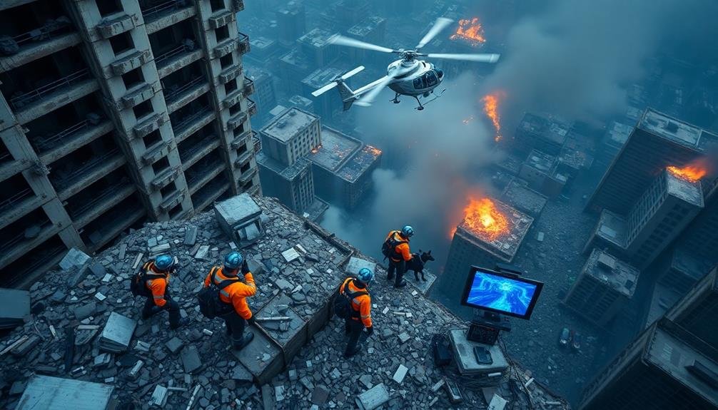
When disaster strikes, search and rescue operations become vital in saving lives and minimizing casualties. Imagery plays an essential role in these efforts, providing you with invaluable information to guide your teams effectively.
You'll use aerial and satellite imagery to quickly assess the affected areas, identify potential survivors, and plan your rescue routes.
With high-resolution imagery, you can:
- Locate trapped individuals or groups by spotting signs of life or distress signals
- Identify hazardous areas or obstacles that might impede rescue efforts
- Determine the safest and most efficient access points for rescue teams
- Monitor changes in the disaster area over time to adjust your strategies
You'll rely on real-time imagery updates to make informed decisions and allocate resources efficiently.
Infrastructure Repair Prioritization
Following a disaster, prioritizing infrastructure repair is essential for restoring normalcy and facilitating recovery efforts. Imagery plays a vital role in this process, allowing you to quickly assess and prioritize damaged infrastructure. You'll use satellite imagery, aerial photographs, and drone footage to create a thorough overview of affected areas.
With this visual data, you can identify critical infrastructure that needs immediate attention, such as:
| Priority | Infrastructure | Impact |
|---|---|---|
| High | Power grids | Electricity restoration |
| High | Water systems | Clean water supply |
| Medium | Roads/bridges | Transportation access |
| Low | Parks | Community well-being |
By analyzing this imagery, you'll pinpoint areas where repairs will have the most significant impact on recovery. You can assess the extent of damage to each infrastructure type and estimate the resources required for repairs. This information helps you allocate limited resources effectively, ensuring that critical systems are restored first.
You'll also use imagery to track repair progress and update priorities as needed. By continuously monitoring the situation, you can adapt your repair strategy to changing conditions and emerging needs, ultimately speeding up the overall recovery process.
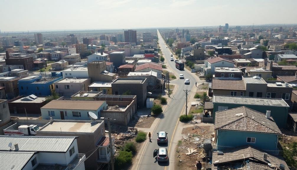
Evacuation Route Planning
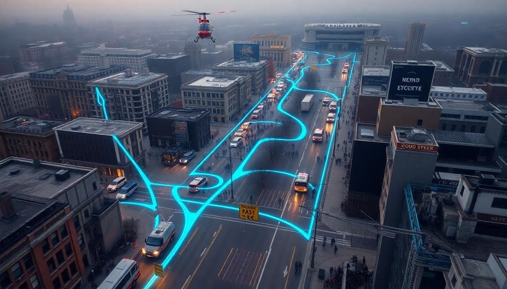
Imagery frequently plays an essential role in evacuation route planning during disaster scenarios. When you're tasked with creating safe paths for people to escape danger, up-to-date aerial and satellite images provide vital information.
You'll use these visuals to identify clear roads, potential bottlenecks, and alternative routes that mightn't be apparent from ground level.
Here's how you can leverage imagery for effective evacuation planning:
- Assess road conditions: Use recent images to spot blocked roads, flooded areas, or damaged bridges that could impede evacuation.
- Identify gathering points: Locate large, open spaces like parking lots or fields that can serve as temporary assembly areas.
- Plan for traffic flow: Analyze road networks to create efficient one-way systems and avoid congestion.
- Locate emergency services: Pinpoint hospitals, fire stations, and other critical facilities to incorporate into your evacuation strategy.
Real-Time Monitoring of Hazards
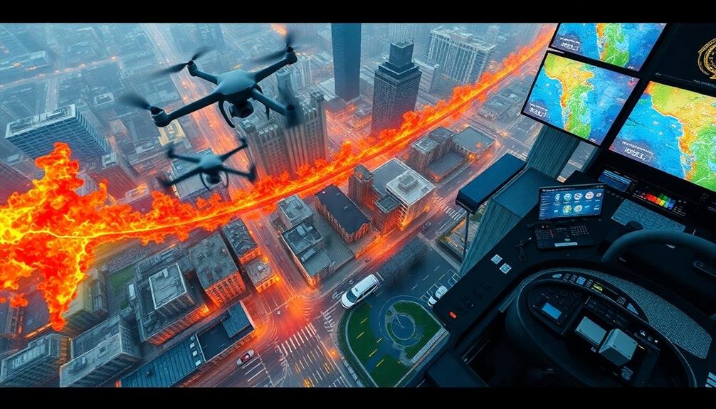
How can real-time imagery revolutionize hazard monitoring during disasters? With advanced satellite and aerial imaging technologies, you'll have access to up-to-the-minute visual data on evolving threats. This information enables you to make rapid, informed decisions to protect lives and property.
You can use high-resolution imagery to track the spread of wildfires, monitor flood levels, or assess the extent of earthquake damage. Thermal imaging helps you detect hotspots in fire-affected areas, while multispectral imagery allows you to analyze vegetation health and identify potential landslide risks.
Real-time imagery also supports the coordination of emergency response efforts. You'll be able to guide first responders to the most critical areas and adjust resource allocation based on changing conditions. By integrating this visual data with other information sources, such as weather forecasts and population density maps, you'll create a thorough picture of the disaster's impact.
Moreover, you can use machine learning algorithms to analyze vast amounts of imagery data quickly, identifying patterns and anomalies that might escape human observation. This capability enhances your ability to predict and mitigate potential hazards before they escalate.
Documentation for Insurance Claims
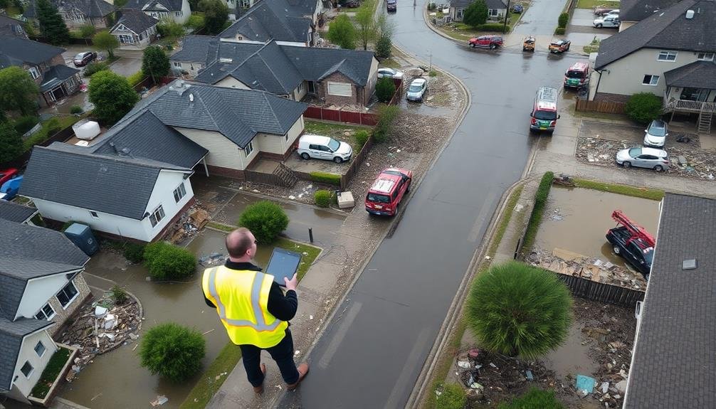
While real-time imagery revolutionizes hazard monitoring, it also plays a key role in documenting disaster impacts for insurance claims. You'll find that high-resolution aerial and satellite images provide essential evidence of property damage, helping you substantiate your claims and expedite the recovery process.
Here's how imagery aids in insurance documentation:
- Pre-disaster baseline: You can establish a clear before-and-after comparison using archived imagery of your property prior to the event.
- Damage assessment: Post-disaster images allow you to accurately assess and quantify the extent of damage to structures, landscapes, and infrastructure.
- Claim verification: Insurance adjusters can use these images to verify your claims remotely, speeding up the evaluation process.
- Dispute resolution: In case of disagreements, you'll have concrete visual evidence to support your case.
Frequently Asked Questions
How Does Satellite Imagery Compare to Drone Footage in Disaster Recovery Efforts?
You'll find satellite imagery offers broader coverage but lower resolution compared to drone footage. Drones provide more detailed, close-up views and can access hard-to-reach areas. Both are valuable tools in disaster recovery efforts, complementing each other effectively.
What Are the Privacy Concerns Associated With Using Imagery in Disaster Zones?
You'll face privacy concerns when using imagery in disaster zones. People's personal spaces may be exposed, and sensitive information could be captured. You're also risking the identification of vulnerable individuals without their consent.
How Long Does It Typically Take to Process and Analyze Disaster Imagery?
You'll find that processing and analyzing disaster imagery can vary greatly. It might take hours or days, depending on the area's size, imagery quality, and available technology. Faster methods like AI and cloud computing are increasingly used.
Can Imagery Help Predict Future Disasters or Improve Preventive Measures?
Yes, imagery can help predict future disasters and improve preventive measures. You'll find it's useful for identifying risk patterns, monitoring environmental changes, and evaluating vulnerabilities. It'll enable you to develop more effective early warning systems and mitigation strategies.
What Role Does Artificial Intelligence Play in Interpreting Disaster Recovery Imagery?
AI plays an essential role in interpreting disaster recovery imagery. It'll analyze vast amounts of visual data quickly, identifying damage patterns, prioritizing areas for response, and tracking recovery progress. You'll find AI enhances decision-making and resource allocation considerably.
In Summary
You've seen how imagery plays an essential role in disaster recovery. By leveraging these seven applications, you'll enhance your ability to respond quickly and effectively. Remember, time is of the essence in these situations. Embrace these technological advancements to save lives, minimize damage, and streamline recovery efforts. As you face future challenges, keep these powerful imagery tools in mind. They'll be your allies in maneuvering the complexities of disaster response and rebuilding communities.
As educators and advocates for responsible drone use, we’re committed to sharing our knowledge and expertise with aspiring aerial photographers.


Leave a Reply