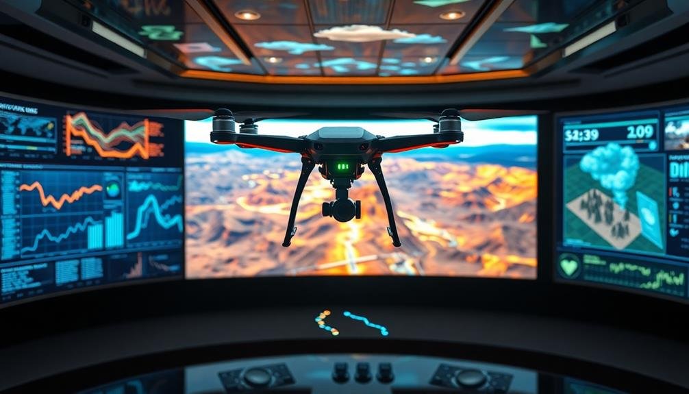
UAV technology has revolutionized disaster prediction with five standout models. You'll find UAV-based seismic activity forecasting using high-resolution cameras and sensors to monitor earthquake-prone areas. Thermal imaging drones detect potential wildfire hotspots before they ignite. Flood risk assessment drones create detailed maps of vulnerable areas. LiDAR-equipped UAVs identify subtle topographical changes indicating landslide risks. High-altitude drones track hurricanes, providing valuable data on wind speeds and pressure systems. These advanced models offer unprecedented accuracy and real-time data collection, saving lives and reducing property damage. Exploring these innovative approaches will reveal the full potential of UAV technology in disaster prediction and management.
UAV-Based Seismic Activity Forecasting
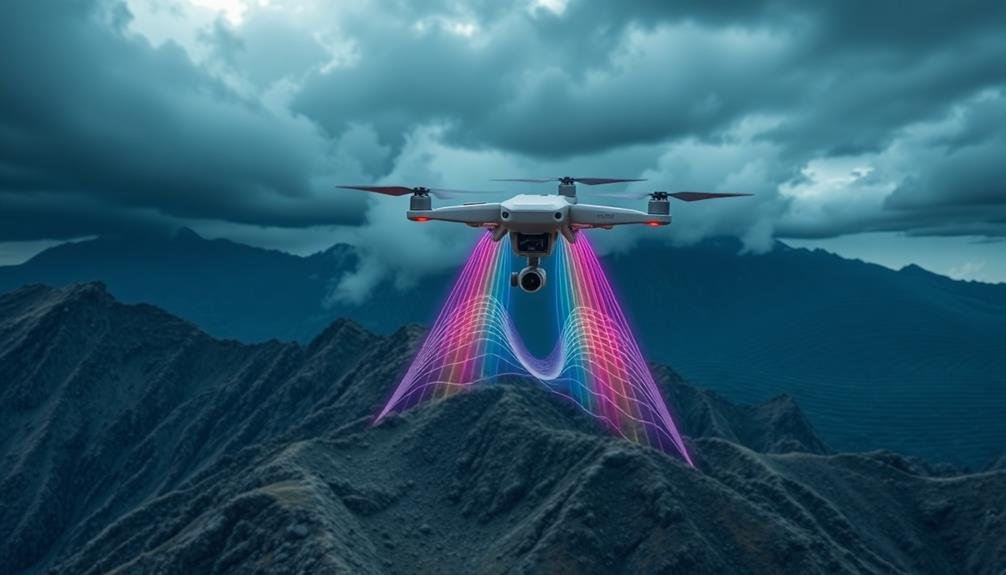
Harnessing the power of unmanned aerial vehicles (UAVs) has revolutionized seismic activity forecasting. These advanced drones equipped with high-resolution cameras, thermal sensors, and LiDAR technology can now gather critical data from areas prone to earthquakes.
You'll find that UAVs can access remote or dangerous locations, providing real-time information on ground deformation, fault line movements, and thermal anomalies.
By deploying a fleet of UAVs, you can create detailed 3D maps of seismic zones, monitoring changes over time with unparalleled accuracy. These drones can detect minute surface changes that may indicate impending seismic activity.
You'll also benefit from their ability to measure gas emissions, which often precede earthquakes.
UAV-based seismic forecasting integrates machine learning algorithms to analyze vast amounts of collected data. This approach allows you to identify patterns and trends that human observers might miss.
By combining UAV-gathered information with traditional seismological data, you'll greatly improve your ability to predict earthquakes and their potential impacts.
This enhanced forecasting capability enables better disaster preparedness and risk mitigation strategies, ultimately saving lives and reducing economic losses in earthquake-prone regions.
Wildfire Prediction Using Thermal Imaging
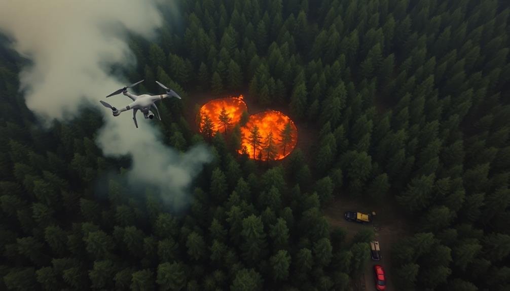
In recent years, thermal imaging technology mounted on UAVs has become a game-changer for wildfire prediction. You'll find that these advanced sensors can detect subtle temperature variations across vast landscapes, identifying potential hotspots before they erupt into full-blown fires. By analyzing thermal data, you can pinpoint areas with unusually high heat signatures, which often indicate the early stages of combustion.
UAVs equipped with thermal cameras allow you to cover large, remote areas quickly and safely. You'll be able to create detailed heat maps of forests, grasslands, and other fire-prone regions. These maps help you identify patterns and trends in temperature distribution, enabling more accurate predictions of fire behavior and spread.
You can also use thermal imaging to detect underground fires that may smolder for days before surfacing. By combining this technology with other data sources like weather patterns and vegetation density, you'll develop thorough wildfire risk assessments.
This integration of multiple data streams enhances your ability to forecast potential fire outbreaks and plan accordingly, greatly improving wildfire management strategies and potentially saving lives and property.
Flood Risk Assessment via Drones
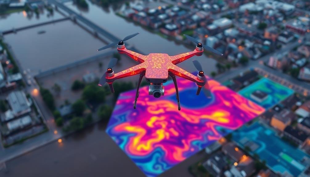
Drone-powered flood risk assessment has revolutionized how we predict and prepare for water-related disasters. You'll find that UAVs equipped with advanced sensors and imaging technology can gather essential data on terrain, water levels, and potential flood routes.
By analyzing this information, you're able to create detailed flood risk maps and identify vulnerable areas with unprecedented accuracy.
When you're using drones for flood risk assessment, you'll benefit from:
- Real-time data collection, allowing for rapid response to changing conditions
- High-resolution imagery that captures even subtle changes in landscape
- Access to hard-to-reach areas that were previously difficult to survey
You can now monitor river systems, coastal areas, and urban drainage networks more effectively.
By combining drone-collected data with historical flood records and weather forecasts, you'll develop more accurate predictive models. These models help you anticipate flood events, estimate potential damage, and plan evacuation routes.
You'll also find that drones can assist in post-flood assessments, helping you evaluate the extent of damage and guide recovery efforts.
This technology enables you to make informed decisions about infrastructure improvements and land-use planning, ultimately reducing the impact of future flood events.
Landslide Detection Through LiDAR Technology

While flood prediction is essential, landslide detection presents its own unique challenges. LiDAR technology mounted on UAVs offers a powerful solution for identifying potential landslide areas. You'll find that this method provides high-resolution 3D mapping of terrain, allowing for precise measurements of slope angles, soil composition, and vegetation cover.
To effectively use LiDAR for landslide detection, you'll need to contemplate these key factors:
| Factor | Importance |
|---|---|
| Point density | High |
| Scan angle | Moderate |
| Flight altitude | Moderate |
| Weather conditions | High |
By analyzing LiDAR data, you can identify subtle changes in topography that may indicate impending landslides. You'll be able to detect surface deformations, cracks, and displacement patterns that are often invisible to the naked eye. This technology also allows you to monitor known landslide-prone areas over time, tracking changes and evaluating risk levels.
When combined with other data sources like rainfall records and geological maps, LiDAR-based landslide detection becomes even more accurate. You'll find that this integrated approach greatly enhances your ability to predict and mitigate landslide risks, ultimately saving lives and protecting infrastructure.
Hurricane Tracking With High-Altitude UAVs
High-altitude UAVs have revolutionized hurricane tracking, offering unprecedented insights into these powerful storms. You'll find that these drones can fly above the turbulence, providing a bird's-eye view of hurricane formation and movement.
They're equipped with advanced sensors that capture real-time data on wind speeds, pressure systems, and temperature variations, enhancing the accuracy of prediction models.
These long-endurance UAVs can stay aloft for days, continuously monitoring a hurricane's path and intensity. You'll appreciate how this constant surveillance allows meteorologists to issue more timely and precise warnings, potentially saving lives and property.
The data collected by these high-flying drones is instantly transmitted to ground stations, where it's integrated into complex forecasting algorithms.
Some key advantages of using high-altitude UAVs for hurricane tracking include:
- Ability to operate in areas too dangerous for manned aircraft
- Extended flight times, allowing for continuous monitoring
- High-resolution imaging capabilities for detailed storm analysis
You'll see that as UAV technology continues to advance, our ability to predict and prepare for hurricanes will only improve, leading to more effective disaster response strategies.
Frequently Asked Questions
How Do Privacy Concerns Impact the Use of UAVS in Disaster Prediction?
You'll face privacy concerns when using UAVs for disaster prediction. They can capture sensitive data, raising issues about surveillance and personal information. You'll need to address these worries to gain public trust and acceptance.
What Are the Legal Restrictions for Operating UAVS in Different Countries?
You'll find UAV laws vary widely between countries. You're often required to register your drone, obtain licenses, and follow altitude limits. You can't fly near airports or sensitive areas, and privacy rules may apply.
How Does UAV Battery Life Affect Long-Term Disaster Monitoring Capabilities?
You'll find that UAV battery life greatly impacts long-term disaster monitoring. Limited flight times restrict continuous data collection. You're often forced to use multiple drones or frequently swap batteries, potentially missing essential information during changeovers.
Can UAVS Be Integrated With Existing Early Warning Systems for Improved Accuracy?
You can definitely integrate UAVs with existing early warning systems. They'll enhance accuracy by providing real-time data, aerial imagery, and sensor readings. This combination improves situational awareness and allows for quicker, more precise disaster predictions and responses.
What Are the Cost Implications of Implementing Uav-Based Disaster Prediction Models?
You'll face significant upfront costs for UAV equipment, software, and training. However, you're likely to see long-term savings through more accurate predictions, reduced damage, and fewer casualties. Maintenance and operation expenses will be ongoing considerations.
In Summary
You've explored cutting-edge disaster prediction models using UAV technology. From seismic forecasting to hurricane tracking, these innovations are revolutionizing how we anticipate and prepare for natural disasters. By leveraging drones' capabilities in thermal imaging, LiDAR, and high-altitude surveillance, you're now better equipped to understand and mitigate risks. As UAV technology continues to advance, you'll see even more precise and timely predictions, potentially saving countless lives and reducing the impact of future catastrophes.
As educators and advocates for responsible drone use, we’re committed to sharing our knowledge and expertise with aspiring aerial photographers.


Leave a Reply