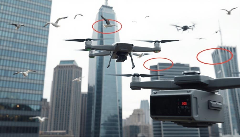
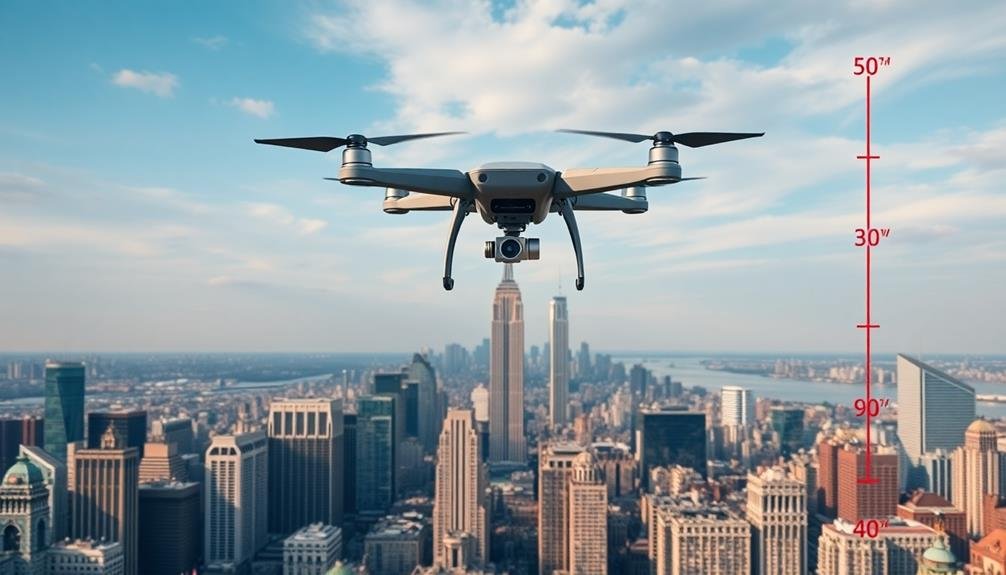
For aerial photography, you'll typically face height restrictions of 400 feet (122 meters) above ground level in most countries, including the US under FAA regulations. This limit applies to both recreational and commercial drone use. However, some nations impose stricter limits, like 300 feet or less. Near airports or in controlled airspace, you may encounter additional restrictions or even flight prohibitions. It's essential to check local laws, as they can vary by city or state, especially in sensitive areas. Remember, violating these altitude limits can result in hefty fines or legal consequences. There's more to take into account when taking to the skies with your camera.
Key Takeaways
- Most countries limit drone flights for aerial photography to 400 feet (122 meters) above ground level.
- Some areas, like airports or controlled airspace, have lower altitude restrictions or require special permissions.
- Commercial aerial photography requires FAA registration and a Remote Pilot Certificate in the United States.
- Night flights and operations beyond visual line of sight have additional restrictions and equipment requirements.
- Violating altitude limits can result in fines, license suspension, equipment seizure, and legal consequences.
Legal Height Limits for Drones
Where can you legally fly your drone for aerial photography? In most countries, including the United States, the maximum legal height for drone flights is 400 feet (122 meters) above ground level. This limit is set by aviation authorities to minimize the risk of collisions with manned aircraft.
You'll need to be aware of additional restrictions in certain areas. Near airports, you're typically required to fly even lower or not at all. In controlled airspace, you may need prior authorization from air traffic control. Some countries have stricter regulations, limiting flights to 300 feet (91 meters) or less.
It's essential to check local laws before flying, as regulations can vary by city or state. National parks, military bases, and other sensitive areas often prohibit drone use entirely.
You're responsible for knowing and following all applicable rules.
FAA Regulations on Aerial Photography
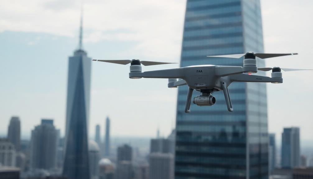
The Federal Aviation Administration (FAA) in the United States has established specific regulations for aerial photography using drones. When you're planning to capture images from the sky, you must adhere to these rules to guarantee safety and legal compliance.
First, you'll need to register your drone with the FAA if it weighs more than 0.55 pounds. You must also obtain a Remote Pilot Certificate if you're flying for commercial purposes.
The FAA requires you to keep your drone within visual line of sight at all times and fly only during daylight hours or civil twilight.
For aerial photography, you're restricted to flying below 400 feet above ground level. If you're near structures, you can fly within a 400-foot radius of them, but not higher than 400 feet above the structure's uppermost limit.
You must avoid flying in restricted airspace, near airports, or over groups of people without proper authorization.
Additionally, you're required to yield the right of way to manned aircraft and avoid interfering with emergency response efforts.
Always check local regulations and obtain necessary permits before conducting aerial photography in specific areas.
Commercial vs. Recreational Drone Use
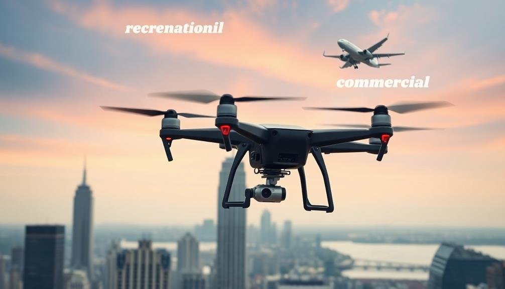
When it comes to aerial photography, understanding the distinction between commercial and recreational drone use is essential. The FAA classifies drone operations based on their purpose, which affects the rules you must follow.
For recreational use, you're flying solely for fun or personal enjoyment. You don't need a license, but you must register your drone if it weighs over 0.55 pounds. You're required to follow basic safety guidelines, keep your drone in sight, and fly below 400 feet.
Commercial use involves any drone operation that generates income or business benefits. This includes selling photos or videos, using drones for real estate marketing, or conducting surveys. You'll need to obtain a Part 107 remote pilot certificate from the FAA. This involves passing a knowledge test and following stricter regulations.
As a commercial operator, you'll face additional requirements like maintaining visual line-of-sight, flying in daylight hours only, and avoiding flights over people.
You'll also need to keep detailed flight logs and maintain your drone properly. Remember, even if you're not directly selling your aerial photos, using them to promote a business classifies as commercial use.
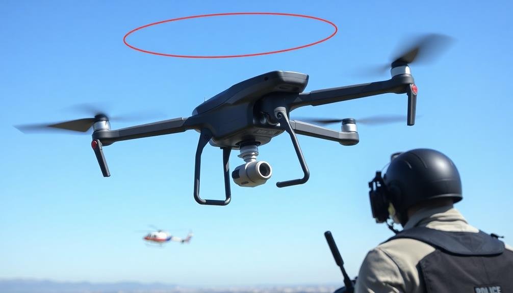
Restricted Airspace Considerations
When flying your drone for aerial photography, you'll need to be aware of restricted airspace and no-fly zones.
These areas, often around airports, military installations, and sensitive government facilities, require special clearance or prohibit drone operations entirely.
You'll want to familiarize yourself with the specific clearance requirements for different types of restricted airspace to guarantee you're operating legally and safely.
No-Fly Zones Explained
Maneuvering the complex web of no-fly zones is essential for aerial photographers.
You'll encounter various types of no-fly zones, each with its own set of restrictions and potential consequences for violations. These areas include military installations, airports, national parks, and critical infrastructure sites.
To stay compliant, you must familiarize yourself with the Federal Aviation Administration's (FAA) regulations and local laws. Use official aeronautical charts and real-time updates from the B4UFLY app to identify no-fly zones in your area.
Remember that some no-fly zones are permanent, while others may be temporary due to events or emergencies.
When operating near airports, you'll need to adhere to specific altitude restrictions and obtain clearance from air traffic control if necessary.
For national parks, you'll often need special permits for aerial photography. In urban areas, be aware of stadium and event-specific no-fly zones.
Violating no-fly zones can result in severe penalties, including fines, license suspension, or even criminal charges.
Always prioritize safety and legality in your aerial photography endeavors by thoroughly researching and respecting no-fly zones before each flight.
Clearance Requirements Overview
Beyond no-fly zones, aerial photographers must navigate restricted airspace with specific clearance requirements. You'll need to be aware of various types of restricted airspace, including military operations areas, prohibited areas, and temporary flight restrictions. Each category has its own set of rules and clearance procedures.
For most aerial photography, you'll operate in Class G airspace, which extends from the ground up to 1,200 feet above ground level (AGL). In this airspace, you don't need specific clearance for unmanned aircraft systems (UAS) operations.
However, when flying near airports or in controlled airspace, you'll need to obtain authorization through the Low Altitude Authorization and Notification Capability (LAANC) system or by submitting a manual request to the FAA.
Some restricted areas require advance notice or special permits. For instance, flying over national parks often requires a permit from the National Park Service.
In urban areas, local regulations may impose additional restrictions. Always check current NOTAMs (Notices to Airmen) for temporary flight restrictions that might affect your planned operations.
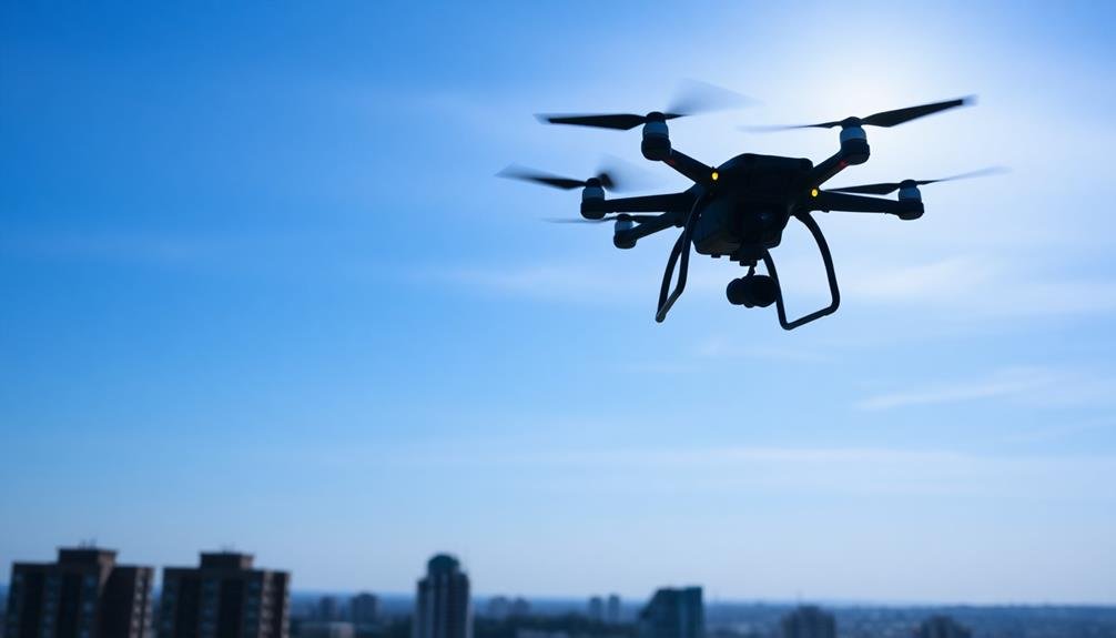
Night Flight Restrictions
When planning night flights for aerial photography, you'll need to take into account specific restrictions and requirements.
You must equip your aircraft with proper night vision technology and adhere to strict illumination standards.
Additionally, you'll need to comply with visibility rules that are often more stringent than daytime regulations, ensuring safe operations in low-light conditions.
Night Vision Requirements
Night flight restrictions for aerial photography impose strict night vision requirements on pilots and equipment. You'll need to guarantee both you and your aircraft are properly equipped for low-light conditions.
As a pilot, you must have recent night flying experience and maintain night currency according to FAA regulations. This typically involves completing three takeoffs and landings to a full stop during nighttime hours within the past 90 days.
Your aircraft must be outfitted with appropriate lighting, including position lights, anti-collision lights, and instrument panel illumination. You'll also need to carry additional equipment such as flashlights and night vision goggles (NVGs) if operating in very dark conditions.
It's essential to familiarize yourself with the use of NVGs before attempting night aerial photography missions.
When planning your flight, consider moon phases and weather conditions that may affect visibility. You should thoroughly brief your crew on night operations procedures and establish clear communication protocols.
Remember that depth perception and spatial awareness can be compromised at night, so maintain a higher altitude than you'd during daylight operations. Always prioritize safety over getting the perfect shot, and be prepared to abort the mission if conditions deteriorate.
Illumination and Visibility Rules
Numerous illumination and visibility rules govern night aerial photography operations.
You'll need to guarantee your aircraft is equipped with proper lighting, including navigation lights and an anti-collision light system. These lights must be operational and visible for at least 3 statute miles.
For night flights, you're required to maintain visual line of sight with your drone at all times. This means you must be able to see it without the aid of any device other than corrective lenses.
You'll also need to guarantee that the area you're photographing is sufficiently illuminated to maintain visual contact with your drone.
Weather conditions play an essential role in night operations. You must have at least 3 statute miles of visibility and remain 500 feet below any clouds.
If you're flying in controlled airspace, you'll need to obtain proper authorization and may face additional restrictions.
Remember that certain areas, such as national parks or restricted airspace, may have specific rules or outright bans on night flights.
Always check local regulations and obtain necessary permits before conducting night aerial photography operations.
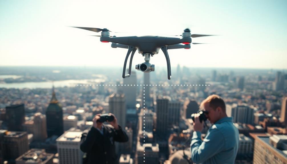
Visual Line of Sight Rules
Safety is paramount when it comes to visual line of sight (VLOS) rules for aerial photography. As a drone operator, you must maintain direct visual contact with your unmanned aircraft at all times during flight. This means you can't rely solely on cameras or other technology to monitor your drone's position.
VLOS rules require you to be able to see your drone without the aid of any device other than corrective lenses. You must be able to determine its location, attitude, altitude, and direction of flight. This guarantees you can avoid obstacles and other aircraft, maintaining safe operations.
The maximum altitude for VLOS operations is typically 400 feet above ground level. However, if you're flying within 400 feet of a structure, you may fly higher, as long as you remain within 400 feet of the structure's immediate uppermost limit.
Weather Conditions and Altitude Limits
During aerial photography operations, weather conditions play a significant role in determining safe altitude limits. You'll need to take into account factors like visibility, wind speed, and cloud cover when planning your flight.
In clear conditions, you can typically fly up to the maximum allowed altitude for your drone or aircraft. However, when visibility is reduced, you must lower your altitude to maintain visual contact with your drone and guarantee safe operation.
Wind speed affects your drone's stability and battery life. As you increase altitude, wind speeds often increase, potentially pushing your drone beyond its operational limits. You should always check weather forecasts and avoid flying in high winds or gusts that exceed your drone's capabilities.
Cloud cover is another significant factor. You're required to maintain a certain distance from clouds, which may limit your maximum altitude.
In the United States, recreational drone pilots must stay at least 500 feet below clouds and maintain 2,000 feet of horizontal separation from them. Commercial operators may have different requirements based on their specific waivers or authorizations.
Drone Registration Requirements
Beyond weather considerations, you'll need to guarantee your drone is properly registered before taking to the skies for aerial photography.
In the United States, the Federal Aviation Administration (FAA) requires all drones weighing more than 0.55 pounds (250 grams) to be registered. You'll need to create an account on the FAA's DroneZone website and provide basic information about yourself and your drone.
Once registered, you'll receive a unique identification number that must be displayed on your drone. This registration is valid for three years and costs $5. If you're flying commercially, you'll need to register under Part 107 rules, which involve additional requirements and a separate certification process.
Remember, registration isn't just a formality—it's a legal requirement. Flying an unregistered drone can result in civil and criminal penalties. In addition, registration helps authorities identify drone operators in case of incidents or violations.
If you're planning to fly internationally, research the specific registration requirements for each country you'll visit. Many nations have their own drone registration systems and regulations, which may differ remarkably from U.S. rules.
Safety Precautions at Different Heights
As you ascend to different heights for aerial photography, you'll need to adjust your safety measures accordingly.
At low altitudes, you must be vigilant of obstacles like trees and buildings, while mid-range heights require increased awareness of other aircraft and weather conditions.
When operating at high altitudes, you'll face additional challenges such as reduced visibility and potential equipment malfunctions, necessitating thorough pre-flight checks and constant monitoring of your drone's performance.
Low-Altitude Safety Measures
How can aerial photographers guarantee safety when operating at low altitudes?
First, you'll need to maintain visual line of sight with your aircraft at all times. This means keeping your drone within your field of view without the aid of binoculars or other visual enhancers. You should also be aware of your surroundings, including obstacles like trees, buildings, and power lines.
It's vital to check weather conditions before flying. Wind speeds can be more unpredictable at low altitudes, so avoid flying in gusty conditions.
Always respect privacy and property rights by staying clear of residential areas and obtaining necessary permissions when flying over private property.
Implement a pre-flight checklist to verify your equipment is in good working order. This includes checking battery levels, propellers, and control systems. Consider using propeller guards for added safety, especially in confined spaces.
Familiarize yourself with local regulations and no-fly zones, as these can vary by location.
Lastly, practice situational awareness. Be prepared to abort your flight if unexpected obstacles or hazards arise.
Mid-Range Height Precautions
When operating aerial photography equipment at mid-range heights, you'll need to take additional precautions to guarantee safety. Mid-range heights typically fall between 400 and 1,000 feet above ground level. At these altitudes, you're sharing airspace with small aircraft, helicopters, and even some low-flying commercial planes.
First, verify you're compliant with local regulations and have obtained necessary permits. Always maintain visual line of sight with your equipment and use a spotter if needed. Be aware of weather conditions, as wind speeds can increase considerably at higher altitudes.
Here's a quick reference table for mid-range height precautions:
| Altitude (ft) | Key Precautions | Potential Risks | Equipment Needs |
|---|---|---|---|
| 400-600 | Monitor wind | Small aircraft | High-zoom lens |
| 600-800 | Check airspace | Turbulence | Signal booster |
| 800-1000 | Enhance visibility | Birds of prey | Thermal camera |
| 1000+ | FAA clearance | Commercial planes | Transponder |
Remember to use proper communication equipment and monitor air traffic frequencies. If you're using a drone, verify it's equipped with obstacle avoidance technology and a reliable return-to-home function. Always prioritize safety over getting the perfect shot.
High-Altitude Risk Management
Moving beyond mid-range altitudes, high-altitude aerial photography presents a unique set of challenges and risks. As you venture into these lofty heights, you'll need to be prepared for more extreme conditions and potential hazards. Safety becomes paramount, and you'll need to implement robust risk management strategies.
To effectively manage high-altitude risks, focus on these key areas:
- Equipment reliability: Verify your drone and camera gear can withstand lower temperatures and thinner air. Regularly check for malfunctions and carry backup equipment.
- Weather monitoring: Stay vigilant about rapidly changing weather patterns at higher altitudes. Use reliable forecasting tools and be prepared to abort missions if conditions deteriorate.
- Air traffic awareness: Familiarize yourself with local air traffic patterns and regulations. Maintain constant communication with air traffic control and be ready to yield to manned aircraft.
- Physical preparedness: If you're operating from high-altitude ground locations, acclimatize properly to prevent altitude sickness. Stay hydrated and alert to changes in your physical condition.
International Drone Height Regulations
Many countries have established specific height restrictions for drone operations to guarantee aviation safety and protect privacy. You'll find that these regulations vary considerably across nations, so it's vital to research the rules of your specific location before flying.
In the United States, the Federal Aviation Administration (FAA) limits recreational drone flights to a maximum altitude of 400 feet above ground level. The European Union has adopted similar restrictions, with most member states adhering to a 120-meter (approximately 400 feet) height limit.
Some countries impose stricter regulations. For instance, in Australia, you're limited to flying no higher than 120 meters (400 feet) above ground level. In Japan, the maximum allowed altitude is 150 meters (492 feet).
It's important to note that these height restrictions may be lower in certain areas, such as near airports or in controlled airspace. You'll need to obtain special permissions if you want to fly higher than the standard limits.
Always check for local regulations and use apps or resources provided by aviation authorities to verify you're complying with current rules. Remember, violating these regulations can result in hefty fines or legal consequences.
Penalties for Violating Altitude Limits
Violating altitude limits for aerial photography can lead to serious consequences. If you're caught exceeding the maximum allowed height, you'll face penalties that vary depending on your location and the severity of the violation. In many countries, these penalties can include hefty fines, confiscation of your equipment, and even criminal charges.
To understand the potential consequences, consider these common penalties:
- Monetary fines: You may be required to pay a substantial fine, often ranging from hundreds to thousands of dollars.
- License suspension or revocation: Your drone operator's license or photography permit could be suspended or permanently revoked.
- Legal action: You might face civil or criminal charges, especially if your actions endangered aircraft or people.
- Equipment seizure: Authorities may confiscate your drone and other photography equipment.
It's essential to familiarize yourself with local regulations and adhere to them strictly.
Remember that altitude restrictions are in place for safety reasons, protecting both manned aircraft and people on the ground. If you're unsure about the limits in your area, always err on the side of caution and fly at lower altitudes.
Obtaining Special Permits for Higher Altitudes
For photographers seeking to capture stunning aerial shots beyond standard altitude limits, there's good news: you can often apply for special permits to fly higher.
These permits are typically issued by aviation authorities like the FAA in the United States or equivalent agencies in other countries.
To obtain a special permit, you'll need to submit a detailed application outlining your project, proposed flight plan, and safety measures.
You'll also need to demonstrate your expertise in operating aircraft or drones at higher altitudes. Be prepared to provide proof of insurance and any relevant certifications.
The approval process can take several weeks or even months, so plan ahead.
You may need to coordinate with local air traffic control and adhere to specific time windows for your flights.
Some areas, such as near airports or military installations, may be off-limits regardless of permits.
Once approved, you'll likely face additional safety requirements and monitoring.
You might need to file flight plans, use specific communication channels, or have a ground observer.
Technology Limitations on Drone Heights
While special permits can allow for higher flights, how high can your drone actually go? Technology plays an imperative role in determining the maximum altitude your drone can reach. Most consumer drones are designed with built-in altitude limitations, typically capping out at around 400 to 500 feet. This is partly due to regulatory requirements and partly for safety reasons.
However, the actual technological limitations of drones can vary depending on several factors:
- Battery life: Higher altitudes require more power, reducing flight time
- Signal strength: Radio control signals weaken at greater distances
- Air pressure: Thinner air at high altitudes affects propeller efficiency
- Temperature: Extreme cold at high altitudes can impact battery performance
Even if you've obtained special permits for higher flights, your drone's hardware may not be capable of reaching extreme altitudes. Professional-grade drones designed for high-altitude operations can potentially reach several thousand feet, but these are specialized tools not commonly available to the average photographer.
It's important to understand your equipment's capabilities and limitations before attempting high-altitude aerial photography, ensuring you're working within both legal and technological boundaries.
Frequently Asked Questions
How Does Altitude Affect Image Quality in Aerial Photography?
As you increase altitude, you'll notice image resolution decreases. Higher altitudes capture wider areas but with less detail. Lower altitudes provide sharper images and finer details, but cover smaller areas. It's a trade-off you'll need to contemplate.
Can Drones Be Used for Aerial Photography During Sporting Events?
You can use drones for aerial photography at sporting events, but there are restrictions. You'll need permission from event organizers and must follow local regulations. Don't fly over crowds, and be aware of no-fly zones.
What Are the Best Drone Models for High-Altitude Aerial Photography?
For high-altitude aerial photography, you'll want to contemplate DJI's Mavic 3 or Phantom 4 Pro V2.0. They're excellent for capturing stunning images from great heights. Don't forget the Autel EVO II Pro, which offers impressive range and image quality.
How Does Wind Speed Impact Maximum Flying Height for Drones?
You'll find that stronger winds greatly limit your drone's maximum altitude. As wind speed increases, you'll struggle to maintain control and stability. Your drone's battery will drain faster too, reducing overall flight time and height capabilities.
Are There Specific Insurance Requirements for High-Altitude Aerial Photography Operations?
You'll likely need specialized insurance for high-altitude aerial photography. It's essential to check with providers offering aviation or drone-specific policies. They'll assess your operation's risks and recommend appropriate coverage for equipment, liability, and personal injury.
In Summary
You've learned about the various height restrictions for aerial photography, from FAA regulations to international rules. Remember, you're responsible for knowing and following these limits. Don't forget to contemplate commercial vs. recreational use, restricted airspace, and night flight rules. If you need to fly higher, look into special permits. Always stay aware of your drone's technological limitations and the potential penalties for violations. Fly safe and enjoy your aerial photography!
As educators and advocates for responsible drone use, we’re committed to sharing our knowledge and expertise with aspiring aerial photographers.


Leave a Reply