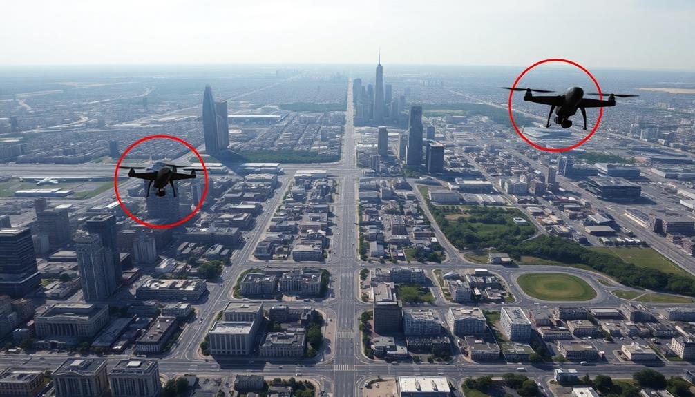
Camera UAVs are prohibited in various restricted airspaces to guarantee safety and security. You can't fly over military bases, airports, government buildings, or national parks without authorization. Stadiums during events, power plants, prisons, and international borders are also off-limits. Emergency scenes require a clear sky for first responders. Private property needs owner permission, and temporary flight restrictions may apply for special events or VIP visits. Always check current regulations and use apps like B4UFLY to verify airspace rules before launching your drone. Understanding these restrictions is essential to avoid hefty fines and legal trouble. There's more to explore about specific no-fly zones and their implications.
Key Takeaways
- Military installations and bases prohibit drone flights due to security concerns and restricted airspace.
- Airports and flight paths require a minimum 5-mile distance for drone operations without prior authorization.
- Government buildings and facilities, including federal, state, and local, have restricted airspace for UAVs.
- National parks and wildlife refuges generally ban drone use to protect wildlife and preserve natural environments.
- Stadiums and sporting events often have temporary flight restrictions within a 3-nautical-mile radius during major events.
Military Installations and Bases

When it comes to military installations and bases, flying camera drones is strictly off-limits. You'll find that these areas are heavily restricted airspace, and for good reason. Military facilities contain sensitive information, equipment, and personnel that require protection from unauthorized surveillance.
If you're a drone enthusiast, you must steer clear of any military property. This includes not just the main base itself, but also surrounding areas that may be part of the installation's security perimeter. You'll need to check official maps and guidelines to understand the exact boundaries of restricted zones.
Violating these restrictions can lead to severe consequences. You might face hefty fines, confiscation of your equipment, or even criminal charges.
Military personnel are authorized to take action against unauthorized drones, which could include intercepting or disabling your device.
Airports and Flight Paths
When flying your camera UAV near airports, you'll need to be aware of several key restrictions.
You must maintain a safe distance from active runways and avoid flight approach zones to prevent interference with aircraft.
Air traffic control may impose additional limitations on your drone operations in these areas, so it's essential to check local regulations and obtain necessary clearances before launching.
Distance From Active Runways
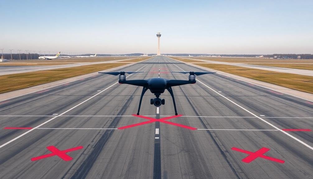
The distance from active runways is a vital factor in determining restricted airspace for camera UAVs. You'll need to maintain a safe distance to avoid interfering with aircraft operations and guarantee the safety of both manned and unmanned flights.
Generally, you can't fly your camera drone within 5 miles (8 kilometers) of an airport without prior authorization from air traffic control.
This 5-mile rule applies to all types of airports, including major international hubs, regional airports, and even small private airfields. It's important to remember that this distance is measured from the outermost edge of the airport's operational areas, not just the center of the runway.
You'll need to be extra cautious near airports with multiple runways, as the restricted area may be larger.
Some countries have implemented tiered restrictions based on proximity to runways. For example, you might face a complete ban within 1 mile, strict limitations up to 3 miles, and less severe restrictions up to 5 miles.
Always check local regulations, as they can vary by location and may change over time.
Flight Approach Zones
Flight approach zones extend beyond the immediate vicinity of airports and demand special attention from camera UAV operators. These areas are critical for aircraft during takeoff and landing, making them off-limits for drone flights.
You'll need to be aware of these zones, which can extend several miles from the airport in a funnel-like shape. To identify flight approach zones, consult aeronautical charts or use drone flight apps that provide this information.
These zones are typically wider near the airport and narrow as they extend outward. You're required to stay clear of these areas to avoid interfering with aircraft operations.
Remember, it's not just large commercial airports you need to take into account. Smaller regional airports, private airfields, and even hospital helipads have approach zones you must respect.
Violating these restrictions can result in severe penalties, including fines and potential criminal charges.
When planning your UAV flight, always check for nearby airports and their approach zones. If you're unsure about the boundaries, it's best to err on the side of caution and choose a different location for your drone photography or videography.
Air Traffic Control Restrictions
Beyond flight approach zones, air traffic control (ATC) restrictions play a significant role in determining where you can fly your camera UAV. ATC-controlled airspace extends around airports and along designated flight paths, creating no-fly zones for drones. You'll need to steer clear of these areas to avoid interfering with manned aircraft operations.
Most airports have a 5-mile radius restriction for drone flights. Within this zone, you can't operate your UAV without explicit permission from the airport's ATC tower. Some busier airports may have even larger restricted areas. Flight paths between airports are also off-limits, as they're used by commercial and private aircraft.
To comply with ATC restrictions, you should always check current airspace maps before flying. These maps show controlled airspace, temporary flight restrictions, and other no-fly zones. Many drone apps provide real-time airspace information to help you plan safe flights.
Government Buildings and Facilities
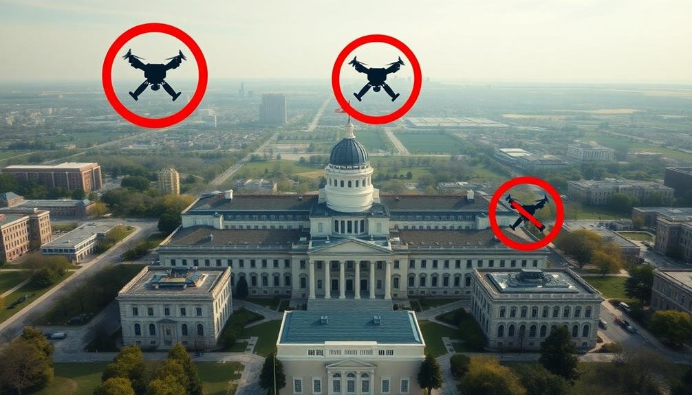
Government buildings and facilities' airspace is strictly off-limits for camera UAVs. You'll need to steer clear of these areas to avoid legal trouble and potential security breaches. This restriction applies to federal, state, and local government buildings, including courthouses, military bases, and intelligence agency headquarters.
The no-fly zones around government facilities often extend beyond the immediate property boundaries. You're responsible for knowing these limits and respecting them when operating your drone. Some facilities may have visible signs or markings indicating restricted airspace, but many don't.
It's essential to research and use up-to-date maps and resources to identify these areas before flying.
Violating these restrictions can result in severe consequences, including:
- Hefty fines
- Confiscation of your drone
- Criminal charges
- Revocation of your drone pilot license (if applicable)
National Parks and Wildlife Refuges
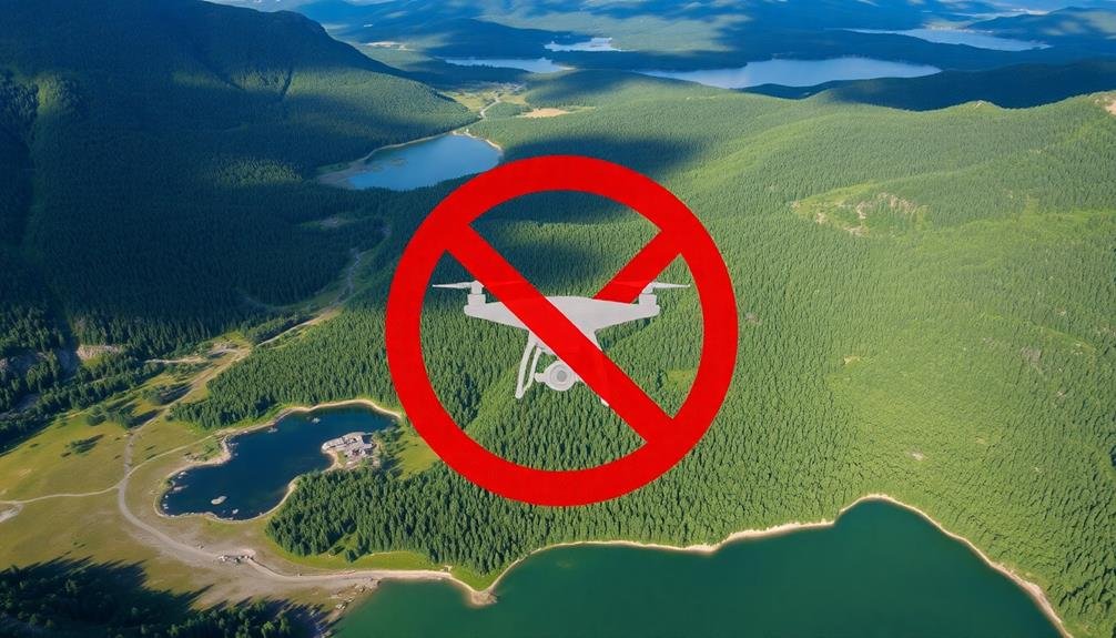
Most national parks and wildlife refuges prohibit the use of camera UAVs within their boundaries.
You'll find that these regulations aim to protect wildlife, preserve the natural environment, and guarantee visitors' safety and enjoyment. The National Park Service (NPS) has implemented a blanket ban on UAV operations in all national parks, unless you've obtained special permission.
When planning your visit, remember that launching, landing, or operating a drone from NPS-administered lands and waters is illegal. This restriction extends to wildlife refuges managed by the U.S. Fish and Wildlife Service.
You risk fines and potential confiscation of your equipment if caught flying a camera UAV in these areas.
There are a few exceptions to this rule. Some parks may allow limited drone use for research, search and rescue, or fire safety purposes.
However, these exceptions are rare and require prior approval. If you're unsure about the regulations in a specific park or refuge, contact the local management office before your visit.
They can provide you with up-to-date information on UAV restrictions and any permitted areas for drone photography, if available.
Stadiums and Sporting Events
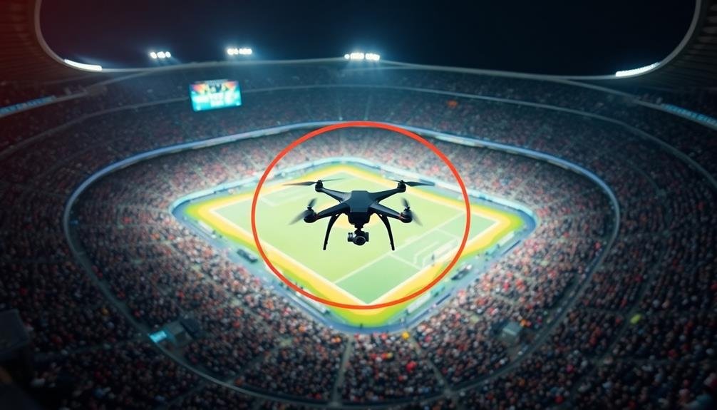
Stadiums and sporting events present another set of restrictions for camera UAV operators. You'll need to be aware that flying your drone near these venues is often prohibited, especially during games or events.
The Federal Aviation Administration (FAA) typically enforces a temporary flight restriction (TFR) within a 3-nautical-mile radius of major sporting events.
These restrictions apply to stadiums seating 30,000 or more people during:
- National Football League (NFL) games
- Major League Baseball (MLB) games
- NCAA Division I football games
- NASCAR Sprint Cup, Indy Car, and Champ Series races
The TFR extends from the ground up to 3,000 feet above ground level. It's in effect from one hour before the event's scheduled start until one hour after its conclusion.
You'll face severe penalties if you're caught flying in these restricted areas, including fines and potential criminal charges.
Even when there's no active event, many stadiums are located in congested urban areas or near airports, which have their own flight restrictions.
Always check local regulations and use the B4UFLY app to verify you're not violating any airspace rules before launching your camera UAV near a stadium or sporting event.
Power Plants and Utilities
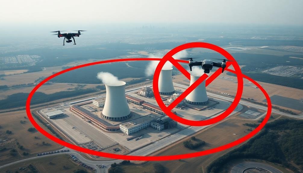
Critical infrastructure like power plants and utilities are off-limits for camera UAV operations. These facilities are considered sensitive areas due to their importance in maintaining essential services and potential security risks.
You'll find that flying your drone near power plants, electrical substations, water treatment facilities, and other utility installations is strictly prohibited.
The Federal Aviation Administration (FAA) and other government agencies have established no-fly zones around these sites to protect them from potential threats and unauthorized surveillance. If you're caught operating a camera drone in these restricted areas, you could face severe penalties, including fines and possible criminal charges.
It's essential to research and understand the boundaries of these restricted zones before planning any drone flights. Many utilities aren't clearly visible from public areas, so you'll need to consult official maps and databases.
Remember that some power plants and utilities may have larger restricted areas than others, depending on their size and strategic importance.
Always prioritize safety and compliance when operating your camera drone. If you're unsure about a specific location, it's best to err on the side of caution and avoid flying in the area altogether.
Prisons and Correctional Facilities
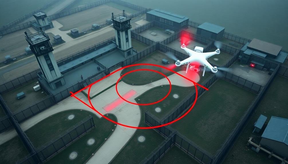
Prisons and correctional facilities' airspace is strictly off-limits for camera UAVs. You'll face severe legal consequences if you attempt to fly your drone near these areas.
Correctional facilities are considered sensitive locations due to security concerns and the potential for surveillance or contraband smuggling.
The Federal Bureau of Prisons and state authorities enforce no-fly zones around prisons to prevent unauthorized aerial activities. These restrictions typically extend to a five-mile radius from the facility's perimeter.
If you're caught operating a UAV within this zone, you may be subject to fines, imprisonment, or both.
To guarantee you don't accidentally violate these restrictions:
- Always check local and federal regulations before flying
- Use drone mapping apps to identify no-fly zones
- Stay at least five miles away from any correctional facility
- If unsure, contact local authorities for guidance
International Borders and Checkpoints
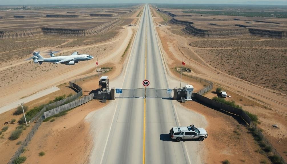
Borders represent another critical area where camera UAV flights are heavily restricted. You'll find that most countries prohibit flying drones near international borders and checkpoints due to security concerns.
These restrictions typically extend several miles on either side of the border, creating a buffer zone where UAV operations are strictly controlled or outright banned.
If you're planning to fly your camera drone near a border area, you must research the specific regulations for both countries involved. You'll need to obtain proper authorizations from relevant border control agencies, which can be a complex and time-consuming process.
Keep in mind that even with permission, you may face additional scrutiny or limitations on your flight activities.
Flying a drone in these sensitive areas without proper clearance can result in severe consequences. You could face hefty fines, confiscation of your equipment, or even arrest and prosecution.
Border patrol agents are trained to detect unauthorized drone activity and will respond swiftly to any perceived threats. To avoid legal troubles and guarantee your safety, always respect border restrictions and seek official guidance before attempting any drone flights in these zones.
Emergency Response Scenes
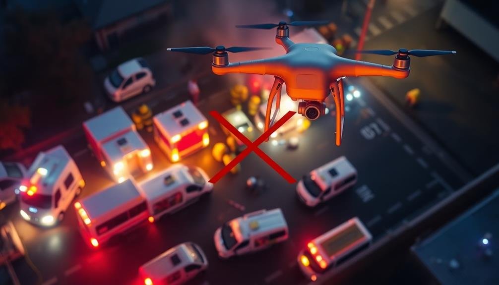
When operating camera drones near emergency response scenes, you'll need to prioritize the safety of first responders and avoid interfering with their vital operations.
You must be aware that your UAV could unintentionally hinder rescue efforts or compromise the privacy of victims in distress.
It's essential to respect restricted airspace around accident sites, natural disasters, and other emergencies to guarantee that professional responders can work effectively without additional complications.
Safety of First Responders
Emergency response scenes demand a clear airspace for first responders to operate safely and effectively.
When you're operating a camera UAV, it's vital to understand that your presence in the sky can hinder rescue efforts and put lives at risk. First responders need unobstructed access to the scene, and your drone could interfere with their aircraft, such as medical helicopters or firefighting planes.
You'll need to keep your distance from emergency scenes to guarantee the safety of those on the ground and in the air.
Remember, first responders are often working in high-stress situations where every second counts. Your drone, no matter how well-intentioned, can be a dangerous distraction.
Here are key reasons why you must avoid flying near emergency scenes:
- Interference with aerial firefighting operations
- Obstruction of medical evacuation helicopters
- Distraction to ground-based rescue teams
- Potential for midair collisions with emergency aircraft
Operational Interference Concerns
Three essential operational interference concerns arise when camera UAVs enter emergency response scenes. First, your drone may disrupt communication signals between first responders, hampering their ability to coordinate effectively. Second, the noise from your UAV can make it difficult for rescue teams to hear calls for help or important instructions. Third, your drone's presence may distract emergency personnel, potentially causing dangerous lapses in attention during vital operations.
To better understand these concerns, consider the following table:
| Interference Type | Impact on Operations | Potential Consequences |
|---|---|---|
| Signal Disruption | Communication breakdown | Delayed response times |
| Noise Pollution | Reduced situational awareness | Missed distress calls |
| Visual Distraction | Diminished focus on tasks | Increased risk of accidents |
It's essential to recognize that your UAV, despite good intentions, can inadvertently compromise the effectiveness of emergency response efforts. By flying in restricted airspace during these situations, you're not only breaking the law but also potentially putting lives at risk. Always check local regulations and respect temporary flight restrictions during emergencies. Remember, professional emergency responders are trained to document and assess situations without interfering with operations.
Privacy of Victims
Beyond operational concerns, camera UAVs at emergency scenes raise significant privacy issues for victims. You'll need to reflect on the ethical implications of capturing footage during someone's most vulnerable moments.
Victims of accidents, fires, or crimes are often in distress and may be exposed or injured. Broadcasting their images without consent can lead to further trauma and public humiliation.
As a UAV operator, you must respect the dignity and privacy of those involved in emergencies. Law enforcement and first responders may establish no-fly zones to protect victim privacy. You should always comply with these restrictions and err on the side of caution when flying near incident scenes.
Ponder these key points when operating camera UAVs near emergency situations:
- Prioritize victim privacy over capturing footage
- Obtain proper authorization before filming
- Blur or obscure identifying features in any shared content
- Follow all legal and ethical guidelines set by local authorities
Private Property Restrictions
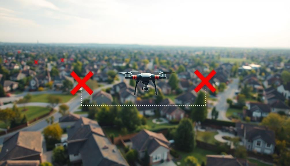
Homeowners have significant rights when it comes to restricting drone flights over their property. You can't fly your camera drone over someone's private land without permission, even if you're not capturing images. This applies to both residential and commercial properties. If you're caught trespassing with your drone, you could face legal consequences.
Here's a quick guide to private property restrictions for drone pilots:
| Property Type | Altitude Limit | Permission Required |
|---|---|---|
| Residential | Up to 400 ft | Yes |
| Commercial | Up to 400 ft | Yes |
| Public Parks | Varies | Check local laws |
| Beaches | Varies | Check local laws |
Temporary Flight Restrictions
You'll encounter various types of Temporary Flight Restrictions (TFRs) for reasons like VIP security, disaster relief, or special events.
TFRs can last from hours to days, with the FAA typically announcing them through NOTAMs (Notices to Air Missions).
If you violate a TFR, you may face severe penalties, including fines, license suspension, or even criminal charges.
TFR Types and Reasons
Temporary Flight Restrictions (TFRs) come in various types and are issued for different reasons, all aimed at ensuring public safety and national security.
You'll encounter TFRs for events like major sporting matches, political gatherings, or natural disasters. They're also set up to protect VIPs, including the President and other high-ranking officials.
When flying your camera UAV, you must be aware of these TFR types:
- Security-related: Established around sensitive areas or events
- Disaster/hazard: Implemented during wildfires, chemical spills, or other emergencies
- Space operations: Created for rocket launches or spacecraft recovery
- Special events: Set up for large gatherings like airshows or festivals
TFRs can vary in size, duration, and altitude restrictions. They're often circular but may have irregular shapes to accommodate specific areas.
You're responsible for checking for active TFRs before each flight, as they can be issued with little notice. The FAA provides real-time TFR information through their website and mobile apps.
Violating a TFR can result in severe penalties, including fines and license suspension. Always prioritize safety and compliance when operating your camera UAV in potentially restricted airspace.
Duration and Notification Process
The lifecycle of Temporary Flight Restrictions can vary greatly, from just a few hours to several weeks or even months.
You'll find that short-term TFRs are often issued for events like sporting matches or VIP visits, while longer-term restrictions may be put in place for ongoing security concerns or natural disasters.
When it comes to notification, the FAA aims to provide as much advance notice as possible.
You'll typically see TFRs announced through Notices to Air Missions (NOTAMs) at least 24 hours before they take effect.
However, in emergency situations, they may be issued with little to no warning.
To stay informed, you should regularly check the FAA's TFR list or use flight planning tools that incorporate this information.
You'll also find that many drone apps now integrate TFR data, alerting you to restricted areas before you fly.
Penalties for Violations
Violation consequences for TFRs can be severe and far-reaching. If you're caught flying your camera UAV in restricted airspace, you'll face significant penalties. The Federal Aviation Administration (FAA) takes these infractions seriously, and you could be subject to both civil and criminal charges.
You might face fines ranging from $1,000 to $100,000 per violation, depending on the severity and circumstances. In extreme cases, you could even face imprisonment. The FAA may also revoke your drone pilot's license, effectively grounding your operations for an extended period.
Beyond legal consequences, violations can impact your reputation and future opportunities in the industry. Clients and employers are likely to avoid working with pilots who've shown disregard for safety regulations.
Here's a quick overview of potential penalties:
- Monetary fines (up to $100,000 per violation)
- License revocation or suspension
- Criminal charges and possible imprisonment
- Damage to professional reputation and loss of business
Frequently Asked Questions
How Can I Obtain Special Permission to Fly in Restricted Airspace?
You'll need to contact the FAA and submit a waiver request. Explain your purpose, flight details, and safety measures. Be prepared to provide documentation and wait for approval. It's a process that requires patience and preparation.
What Are the Penalties for Violating Restricted Airspace With a Camera Drone?
You'll face serious consequences for flying a camera drone in restricted airspace. Penalties can include hefty fines, confiscation of your equipment, and even criminal charges. Don't risk it – always follow regulations and obtain proper permissions before flying.
Are There Any Restricted Airspace Areas That Change Seasonally?
Yes, some restricted airspaces change seasonally. You'll find temporary flight restrictions during wildfire seasons, major sporting events, or political gatherings. It's essential you check current NOTAMs and airspace updates before each flight to stay compliant.
How Do I Report Unauthorized Drone Activity in Restricted Airspace?
If you spot unauthorized drone activity in restricted airspace, you should immediately contact local law enforcement or the FAA. You can call 911 or use the FAA's online reporting system. Don't attempt to interfere with the drone yourself.
Can Weather Conditions Affect the Boundaries of Restricted Airspace for Drones?
Weather conditions don't typically change restricted airspace boundaries for drones. However, they can affect your ability to fly safely. You'll need to take into account visibility, wind, and precipitation when deciding if it's appropriate to operate your drone.
In Summary
You've learned about various restricted airspaces where you can't fly your camera drone. Remember, it's your responsibility to know and follow these rules. Always check for updates and temporary restrictions before flying. Don't risk fines or legal trouble by ignoring no-fly zones. If you're unsure, don't fly. By respecting these restrictions, you'll keep yourself and others safe while enjoying your drone photography hobby responsibly.
As educators and advocates for responsible drone use, we’re committed to sharing our knowledge and expertise with aspiring aerial photographers.


Leave a Reply