When creating 3D construction models from above, follow these three key tips: First, plan your drone flight patterns carefully, using grid patterns with 60-70% overlap for thorough coverage. Start high for an overall view, then decrease altitude for details. Second, focus on capturing high-quality texture data by flying in ideal lighting conditions and using a high-resolution camera with manual settings. Third, invest time in post-processing to clean up point cloud data, align multiple scans, and generate a high-quality mesh with accurate texture mapping. By mastering these techniques, you'll produce more accurate and realistic 3D models. Dive deeper to access the full potential of aerial construction modeling.
Optimal Drone Flight Patterns
For ideal drone flight patterns in 3D construction modeling, you'll need to plan your routes carefully.
Start by mapping out the entire construction site and identifying key areas that require detailed imaging. Create a grid pattern over the site, guaranteeing your flight paths overlap by 60-70% for thorough coverage.
Begin with a high-altitude flight to capture an overall view of the site. Then, gradually decrease altitude for more detailed scans. Use a consistent speed and altitude for each pass to maintain image quality.
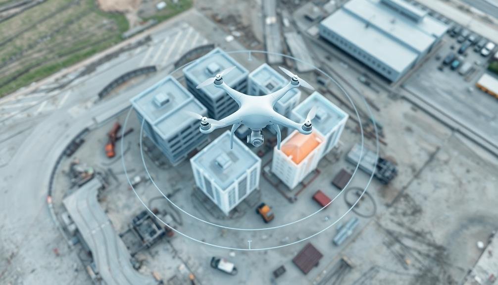
When capturing vertical structures, fly in concentric circles around the object, starting from the top and spiraling downward.
Don't forget to account for obstacles like cranes or scaffolding in your flight plan. Adjust your route to avoid these hazards while still capturing necessary data.
Consider the time of day for your flights; early morning or late afternoon light can provide better contrast and reduce harsh shadows.
For complex structures, use multiple flights with different angles to verify you capture all surfaces.
Remember to check local regulations regarding drone flights and obtain necessary permits before starting your project.
Capturing Detailed Texture Data
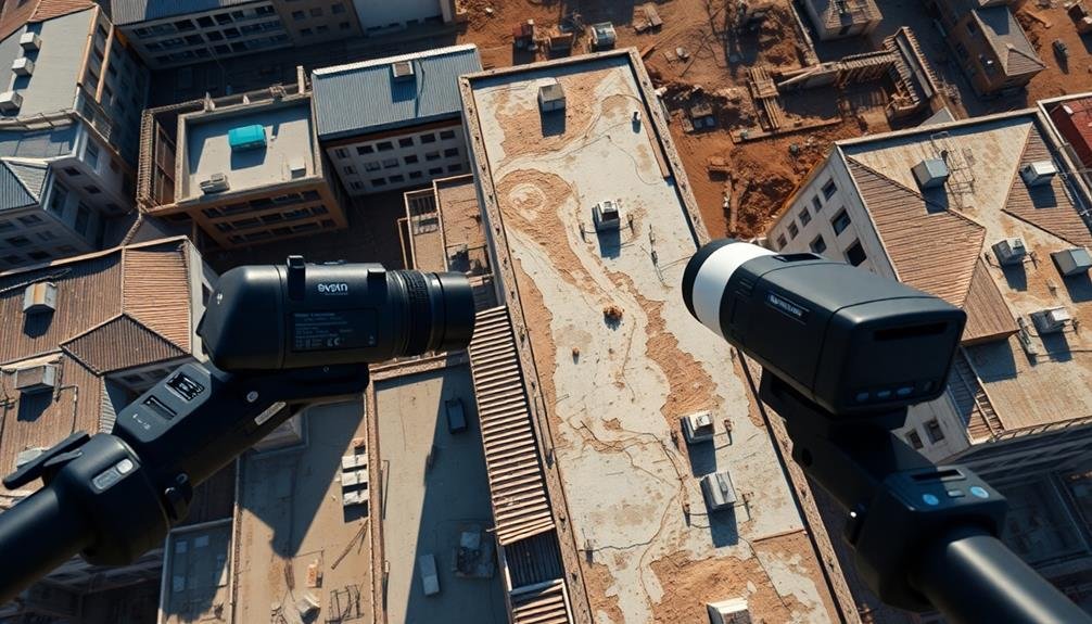
Capturing detailed texture data is vital for creating realistic 3D construction models. You'll need to focus on ideal lighting conditions and camera settings to guarantee high-quality images. Aim for overcast days or early morning/late afternoon light to avoid harsh shadows. Use a high-resolution camera with manual settings, adjusting aperture, shutter speed, and ISO for sharp, well-exposed images.
Fly your drone at a consistent altitude and maintain overlapping flight paths to capture every surface from multiple angles. This approach helps in creating seamless textures and reducing data gaps. Consider using oblique imagery techniques, tilting the camera at 30-45 degree angles to capture facades and vertical surfaces.
Post-processing is essential for enhancing texture quality. Use software to color-correct and balance your images, ensuring consistency across the dataset. Apply noise reduction and sharpening filters judiciously to improve detail without introducing artifacts.
When processing your 3D model, use high-resolution texture maps and consider implementing PBR (Physically Based Rendering) materials for added realism. Don't forget to fine-tune your textures for performance, balancing quality with file size and rendering speed.
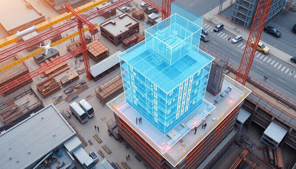
Post-Processing for Accurate Models
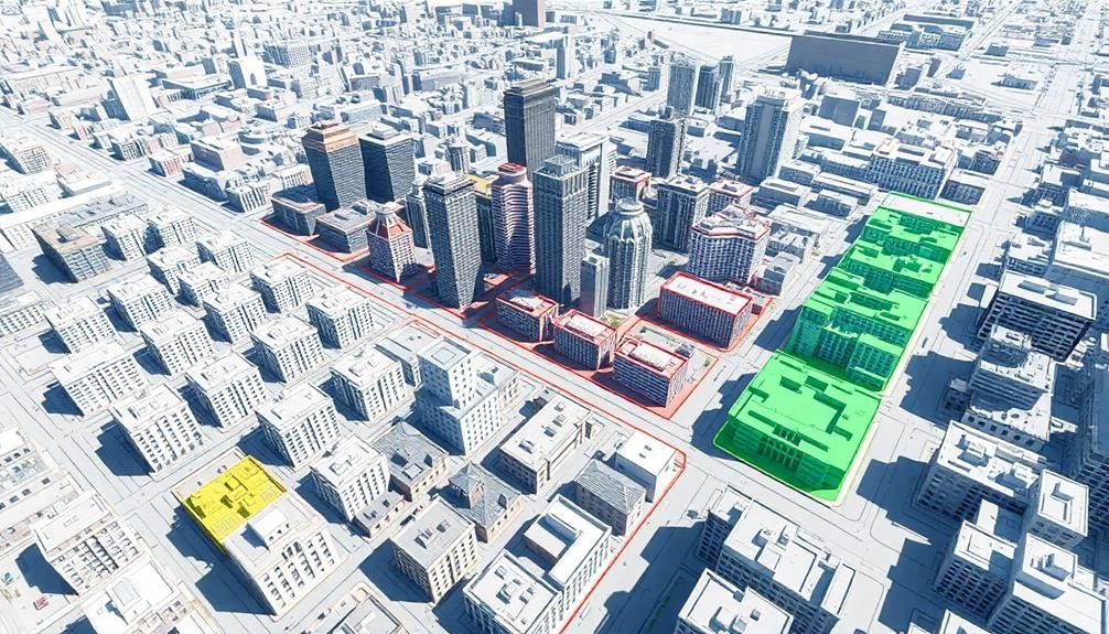
Once you've gathered your raw data, post-processing becomes essential for creating accurate 3D construction models. Start by cleaning up your point cloud data, removing any outliers or noise that could skew your results. Use specialized software to align and merge multiple scans, guaranteeing a seamless integration of data from different angles.
Next, focus on mesh generation. Create a high-quality mesh that accurately represents the surface geometry of your construction site. Pay close attention to complex areas like corners and edges, as these often require manual refinement.
Apply texture mapping to enhance the visual realism of your model, using the high-resolution images you've captured.
Don't forget to optimize your model for performance. Reduce polygon count where possible without sacrificing detail in critical areas. Use level of detail (LOD) techniques to maintain model fidelity at various viewing distances.
Finally, validate your model against ground truth measurements to confirm accuracy. Compare key dimensions and features with on-site data to identify and correct any discrepancies.
This rigorous post-processing approach will result in a highly accurate 3D construction model ready for analysis, planning, and visualization.
Frequently Asked Questions
How Does Weather Affect 3D Construction Modeling From Above?
Weather can greatly impact your 3D construction modeling from above. You'll face challenges with rain obscuring visibility, wind affecting drone stability, and sunlight causing glare. Extreme temperatures may also interfere with equipment performance. Plan accordingly for ideal results.
What Software Is Best for Beginners in 3D Construction Modeling?
You'll find SketchUp ideal for beginners in 3D construction modeling. It's user-friendly, affordable, and offers a gentle learning curve. AutoCAD and Revit are also popular choices, but they're more complex and better suited for professionals.
Are There Legal Restrictions on Using Drones for Construction Site Modeling?
You'll need to check local regulations, as drone laws vary by location. Generally, you'll require a license for commercial use. Respect privacy, avoid restricted airspace, and follow FAA rules for weight limits and registration.
How Often Should 3D Models Be Updated During a Construction Project?
You'll want to update your 3D models regularly throughout the project. Aim for weekly updates during active phases, but adjust based on the project's pace. Don't forget to capture major milestones and changes as they occur.
Can 3D Construction Modeling From Above Replace Traditional Surveying Methods Entirely?
While 3D modeling from above can't entirely replace traditional surveying, you'll find it's a powerful complement. It offers rapid, thorough data collection, but you'll still need ground-based surveys for certain precise measurements and legal requirements.
In Summary
You've now got the tools to elevate your 3D construction modeling game. By mastering ideal drone flight patterns, you'll capture thorough site data. Don't forget to focus on detailed texture information for realistic renders. Finally, your post-processing skills will guarantee your models are accurate and useful. With these tips in your arsenal, you're ready to create high-quality 3D models that'll impress clients and streamline your construction projects. Keep practicing and refining your techniques!
As educators and advocates for responsible drone use, we’re committed to sharing our knowledge and expertise with aspiring aerial photographers.


Leave a Reply