To conduct effective drone-powered disaster zone surveys, you'll need to select the right drone with sufficient flight time, high-resolution cameras, and thermal imaging capabilities. Prepare thoroughly with a pre-flight checklist and navigate regulations carefully. Plan your flight paths for maximum coverage and use data collection techniques like grid patterns and overlapping imagery. Process and visualize your data using specialized software to create detailed maps and 3D models. Coordinate closely with ground teams to identify hazards and prioritize areas of concern. By following these steps, you'll be well-equipped to provide essential insights for emergency response efforts. The journey to mastering this life-saving technology is just beginning.
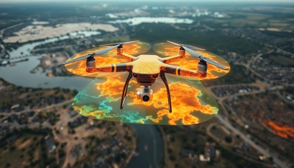
Selecting the Right Drone
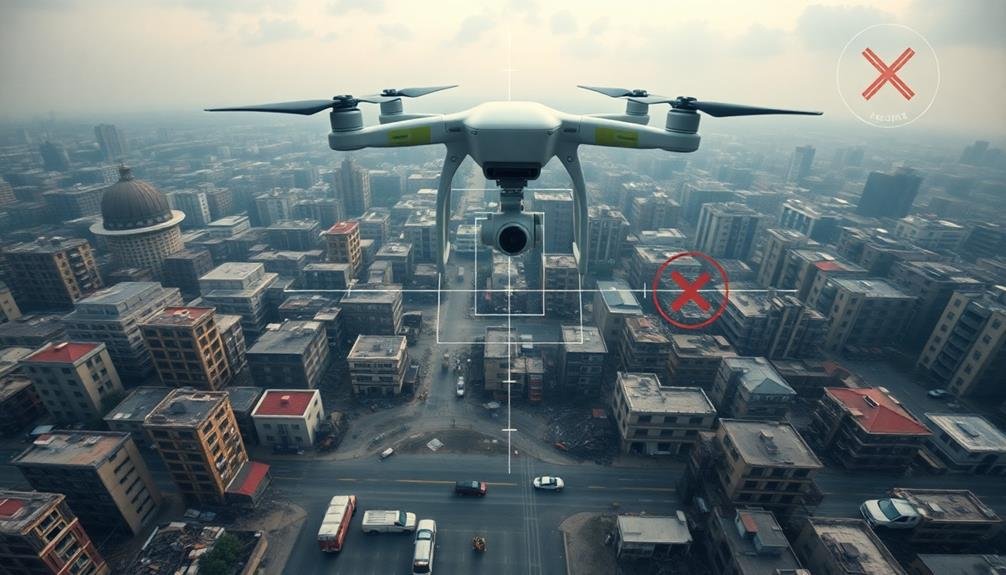
When it comes to selecting the right drone for disaster zone surveys, you'll need to contemplate several key factors.
First, consider the drone's flight time and range. You'll want a model that can cover large areas without frequent battery changes. Look for drones with at least 30 minutes of flight time and a range of 5-7 kilometers.
Next, assess the drone's camera capabilities. High-resolution imagery is vital for detailed surveys, so opt for a drone with at least a 12MP camera and 4K video recording. Thermal imaging can be invaluable for locating survivors or identifying hotspots in wildfire zones.
Durability is essential in harsh environments. Choose a drone with a robust build, weather resistance, and the ability to operate in strong winds.
Additionally, consider obstacle avoidance features to prevent crashes in cluttered disaster areas.
Essential Equipment for Disaster Surveys
Disaster-zone surveying requires more than just a capable drone. You'll need to equip your unmanned aerial vehicle (UAV) with essential gear to guarantee successful missions. Start with a high-resolution camera capable of capturing detailed images and video footage.
Thermal imaging cameras are invaluable for detecting heat signatures, which can help locate survivors or identify potential hazards. Confirm your drone has a reliable GPS system for accurate navigation and mapping. Obstacle avoidance sensors are essential in debris-filled environments.
Don't forget to pack extra batteries and a portable charging station to extend your flight time. Communication equipment is significant. Equip your drone with a long-range transmitter and receiver to maintain contact in challenging conditions.
Consider adding a first-person view (FPV) system for real-time piloting feedback. For data processing, bring a rugged laptop or tablet with sufficient storage and processing power. Install mapping and photogrammetry software to create 3D models and orthomosaic maps from your collected imagery.
Lastly, pack protective gear for your equipment, including waterproof cases and impact-resistant containers. This will safeguard your valuable tools from harsh environmental conditions and potential accidents during transportation or deployment.
Pre-Flight Checklist and Preparations
With your equipment ready, it's time to focus on pre-flight preparations.
Begin by checking weather conditions, including wind speed, precipitation, and visibility. Confirm they're within your drone's operational limits.
Next, inspect your drone for any visible damage or loose parts. Check that all batteries are fully charged and securely attached.
Review your flight plan and familiarize yourself with the disaster zone's layout. Identify potential obstacles, no-fly zones, and areas of interest. Program your flight path into the drone's software if it has this capability.
Don't forget to calibrate your drone's compass and GPS.
Check your camera settings and confirm it's properly mounted. Test your remote control's responsiveness and signal strength.
If you're using a tablet or smartphone for flight control, make sure it's fully charged and has the latest firmware updates.
Navigating Disaster Zone Regulations
Before launching your drone in a disaster zone, you'll need to navigate a complex web of regulations. First, check if the area has been declared a federal disaster zone, as this may affect airspace restrictions.
Contact the Federal Aviation Administration (FAA) for temporary flight restrictions and obtain necessary waivers.
Coordinate with local emergency management agencies and first responders to guarantee your drone operations don't interfere with rescue efforts. You'll likely need to register with the incident command system and obtain proper credentials.
Be aware of privacy laws, as you may inadvertently capture sensitive information or personal property. Familiarize yourself with local ordinances that might restrict drone use, even during emergencies.
Obtain proper insurance coverage for disaster zone operations, as standard policies may not apply. Consider joining organizations like the National Public Safety UAS Council to stay informed about best practices and regulatory changes.
Remember that regulations can change rapidly in disaster situations. Stay in constant communication with authorities and be prepared to adapt your flight plans at a moment's notice.
Always prioritize safety and respect the privacy of those affected by the disaster.
Flight Planning for Maximum Coverage
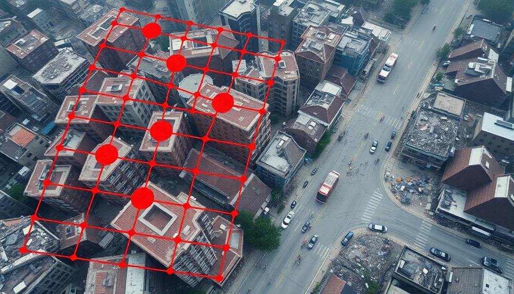
Efficiency is key when planning drone flights for disaster zone surveys. You'll want to maximize coverage while minimizing flight time and battery usage.
Start by dividing the area into grid sections, considering the drone's camera capabilities and flight endurance. Plan overlapping flight paths to guarantee complete coverage and capture high-quality imagery.
Use mission planning software to automate your flight paths and enhance altitude, speed, and camera settings. Factor in obstacles, no-fly zones, and potential interference sources when plotting your course.
Consider weather conditions and schedule flights during ideal daylight hours for the best visibility.
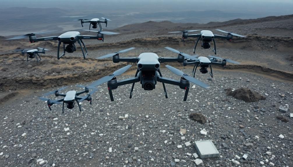
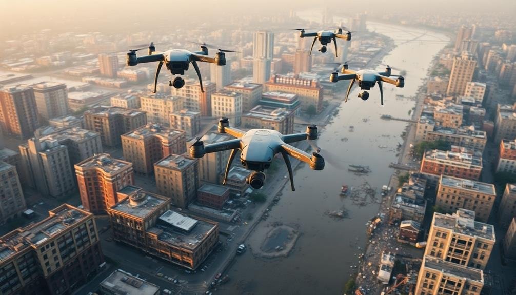
For large areas, implement a multi-drone strategy with coordinated flight plans. This approach allows you to cover more ground quickly and gather data simultaneously from different locations.
Don't forget to plan for battery changes and designate safe landing zones throughout the survey area.
Prioritize critical areas based on urgency and importance. You may need to adjust your plans on the fly, so maintain flexibility in your approach.
Always have a contingency plan for unexpected situations, such as sudden weather changes or equipment malfunctions.
Optimal Camera Settings for Surveys
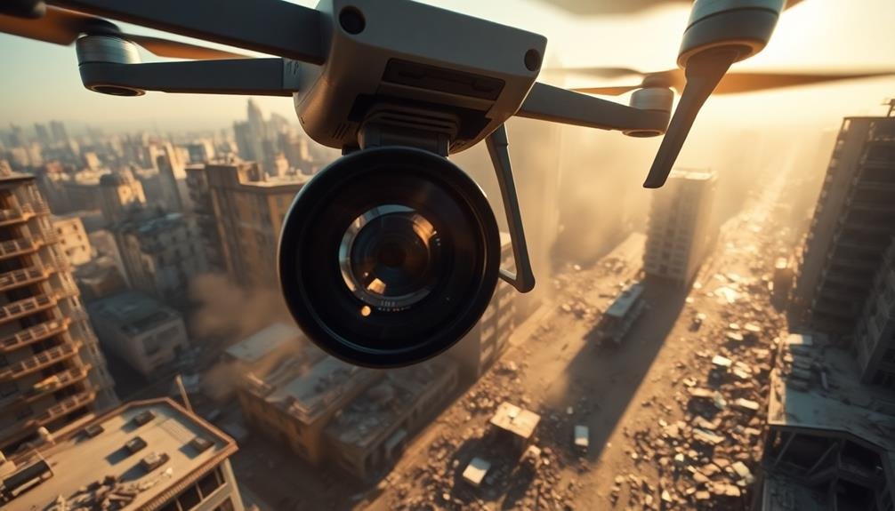
Once you've planned your flight paths, it's crucial to enhance your drone's camera settings for the survey.
Start by setting your camera to manual mode, giving you full control over the exposure. Adjust the shutter speed to at least 1/1000th of a second to minimize motion blur, as your drone will be moving constantly. Choose an aperture between f/4 and f/8 for a good balance of depth of field and sharpness.
Set your ISO as low as possible while maintaining proper exposure, typically around 100-400. This will help reduce noise in your images. Use RAW format to capture the most data possible, allowing for better post-processing flexibility. Confirm your white balance is set appropriately for the lighting conditions.
For ideal survey results, consider these additional tips:
- Use a polarizing filter to reduce glare and improve contrast
- Enable your camera's histogram display to check exposure in real-time
- Set your camera to continuous shooting mode for overlapping images
Data Collection Techniques
Data collection techniques for drone-powered disaster zone surveys hinge on systematic and methodical approaches. You'll need to establish a clear flight plan before takeoff, guaranteeing extensive coverage of the affected area. Use a grid pattern to methodically capture imagery, overlapping each pass by 60-70% for peak data quality.
As you fly, maintain a consistent altitude and speed to guarantee uniform data collection. You'll want to capture both nadir (straight down) and oblique (angled) imagery for a complete picture of the disaster zone. Utilize your drone's GPS capabilities to geotag each image, facilitating easier analysis and mapping later.
Consider employing multispectral sensors to gather data beyond visible light, which can reveal hidden damage or environmental impacts. You should also collect real-time telemetry data, including altitude, speed, and position, to provide context for your imagery.
Don't forget to regularly back up your data during the mission. Use onboard storage and, if possible, stream data to a ground station for redundancy.
After each flight, review your collected data to guarantee quality and completeness before moving to the next survey area.
Real-Time Mapping and Analysis
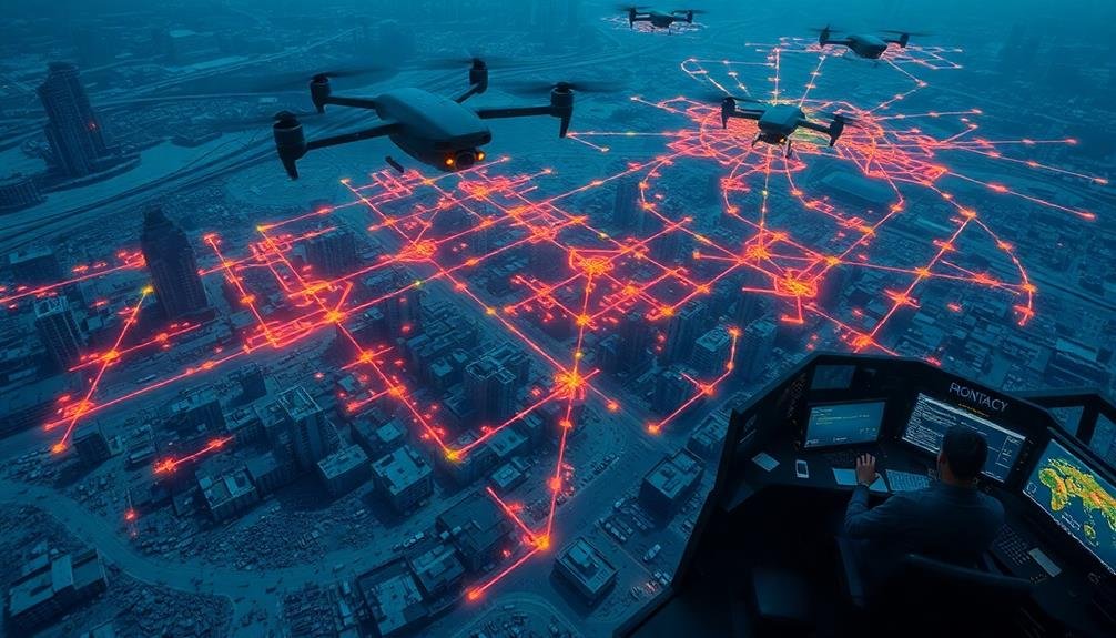
You'll find that real-time mapping and analysis are essential components of drone-powered disaster surveys.
As you process and visualize the collected data, you're able to create dynamic maps that update as new information comes in.
These maps enable you to quickly identify hazards and prioritize response efforts, using techniques such as thermal imaging to detect hotspots or image recognition to spot structural damage.
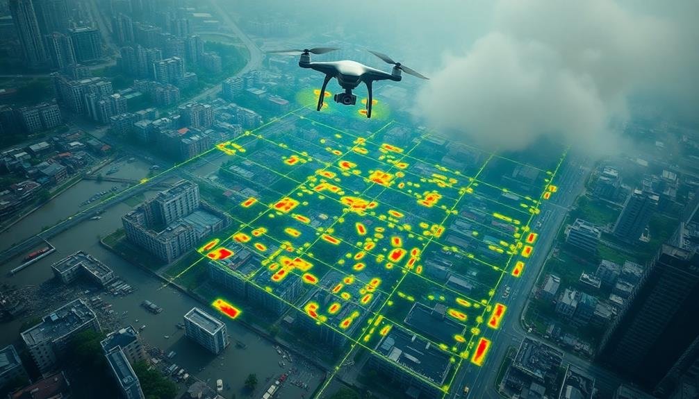
Data Processing and Visualization
The rapid processing and visualization of drone-collected data are essential for effective disaster response. You'll need powerful software and hardware to handle the large volumes of information gathered by your drones. Cloud-based solutions can offer scalable processing power, allowing you to crunch data quickly even in remote locations.
When visualizing your data, focus on creating clear, intuitive maps and 3D models that first responders can easily interpret. Use color-coding to highlight areas of concern, such as damaged infrastructure or potential hazards. Don't forget to include important metadata like timestamps and GPS coordinates.
Consider implementing these visualization techniques:
- Heat maps to show population density or resource distribution
- Overlay comparisons of before-and-after imagery
- Interactive 3D models for detailed structural analysis
Remember to prioritize speed and accessibility in your data processing and visualization workflow. The faster you can turn raw drone footage into actionable insights, the more effectively emergency teams can respond.
Always have a backup plan for data storage and processing in case of network outages or equipment failure. By streamlining your data handling processes, you'll maximize the impact of your drone surveys in disaster zones.
Hazard Identification Techniques
Swift identification of hazards is essential in disaster response. When using drones for real-time mapping and analysis, you'll need to employ specific techniques to quickly spot potential dangers.
Start by programming your drones to capture high-resolution imagery and thermal data simultaneously. This combination allows you to identify both visible and hidden hazards.
Use machine learning algorithms to process the incoming data in real-time. These algorithms can be trained to recognize patterns associated with common disaster-related hazards, such as structural instability, fire hotspots, or flooding.
You'll want to set up a mobile command center where you can receive and analyze the drone's data feed instantly.
Implement a color-coded system for categorizing hazards based on their severity and type. This will help you prioritize response efforts and communicate risks effectively to ground teams.
Don't forget to integrate GPS data with your hazard maps, enabling precise localization of danger zones.
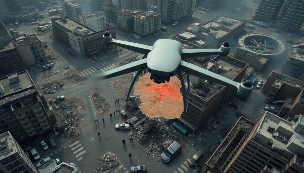
Hazard Identification From Aerial Imagery
Aerial imagery captured by drones provides an essential perspective for identifying potential hazards in disaster zones. When analyzing these images, you'll need to look for specific indicators of danger. Focus on structural damage, environmental changes, and signs of ongoing threats.
To effectively identify hazards from aerial imagery:
- Look for collapsed or damaged buildings, downed power lines, and compromised infrastructure.
- Scan for flooded areas, landslides, or other terrain alterations that might pose risks.
- Identify potential sources of contamination, such as chemical spills or sewage leaks.
Pay close attention to color changes in vegetation, water bodies, or soil, as these can indicate the presence of hazardous materials.
You'll also want to spot any signs of active fires, smoke plumes, or gas leaks that could threaten responders and survivors.
Don't forget to compare current imagery with pre-disaster maps or satellite images to identify significant changes. This comparison can help you pinpoint areas of concern that mightn't be immediately obvious.
Coordinating With Ground Teams
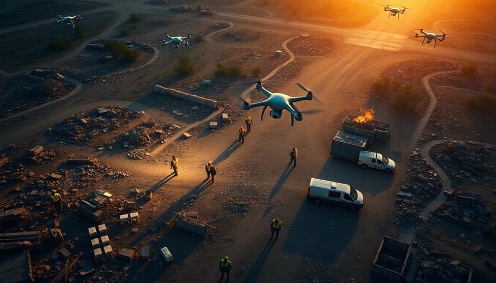
Effective coordination between aerial survey teams and ground-based responders is essential for maximizing the impact of drone-powered disaster zone assessments. To achieve this, you'll need to establish clear communication channels and protocols.
Set up a central command center where drone operators can relay real-time information to ground teams. Use standardized mapping systems and grid references to guarantee everyone's on the same page when discussing locations.
Implement a priority system for reporting hazards or survivors, allowing ground teams to respond to the most critical situations first. You'll also want to create a feedback loop where ground teams can request specific aerial imagery or data from drone operators.
Consider using shared digital platforms or apps that allow for instant updates and collaboration between air and ground units. Train your teams in effective radio communication and establish clear roles and responsibilities for each team member.
Don't forget to schedule regular briefings to keep everyone updated on the overall situation and any changes in strategy. By fostering seamless coordination, you'll guarantee that the valuable data collected by drones is quickly and effectively put to use in disaster response efforts.
Post-Flight Data Processing
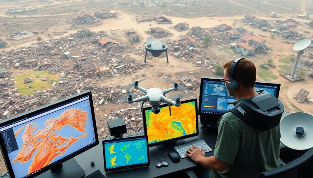
Post-flight processing transforms raw drone data into actionable intelligence for disaster response teams. You'll need to download and organize the collected imagery, videos, and sensor data from your drone's storage devices.
Use specialized software to stitch together individual images into thorough orthomosaic maps and 3D models of the disaster zone.
Apply algorithms to analyze the data, identifying key features such as:
- Damaged structures
- Blocked roads
- Potential hazards (e.g., chemical spills, fires)
You'll want to georeference your processed data, ensuring it aligns accurately with existing maps and coordinates. This step is essential for integrating your findings with other geographical information systems used by response teams.
Next, focus on data interpretation. Look for patterns, anomalies, and significant information that can inform decision-making.
Create clear, visually appealing reports and presentations that highlight your key findings. These might include annotated maps, before-and-after comparisons, and prioritized lists of areas needing immediate attention.
Reporting and Sharing Survey Results
A well-crafted report can mean the difference between swift action and costly delays in disaster response. When sharing your drone survey results, focus on presenting clear, actionable information.
Start with an executive summary that highlights key findings and urgent areas of concern. Include high-resolution maps, annotated images, and 3D models to provide a thorough view of the disaster zone.
Organize your report by priority areas, such as damaged infrastructure, blocked roads, or areas with potential survivors. Use concise language and bullet points to convey critical information quickly.
Include metadata like flight dates, times, and weather conditions to provide context for your findings.
Consider your audience when preparing the report. Emergency responders may need different information than city planners or insurance adjusters. Tailor your content accordingly and provide multiple formats if necessary.
For efficient sharing, use secure cloud-based platforms that allow real-time updates and collaboration. Confirm your data is compatible with common GIS software to facilitate integration with other datasets.
Don't forget to include recommendations for follow-up actions or areas that require further investigation.
Frequently Asked Questions
How Can Drones Assist in Search and Rescue Operations During Disasters?
You can use drones to quickly survey large areas, locate survivors, and deliver supplies. They'll provide real-time aerial footage, assess damage, and access hazardous zones safely. Drones can also assist in communication and coordinate rescue efforts efficiently.
What Are the Ethical Considerations When Using Drones in Disaster-Affected Areas?
You'll need to take into account privacy concerns, potential distress to victims, and interference with relief efforts. Make certain you're following local regulations, respecting cultural sensitivities, and prioritizing the safety and dignity of those affected by the disaster.
How Do Weather Conditions Affect Drone Performance in Disaster Zones?
Weather conditions greatly impact your drone's performance in disaster zones. You'll face reduced flight time in strong winds, limited visibility in rain or fog, and potential equipment damage from extreme temperatures. Always check forecasts before deploying your drones.
What Training Is Required for Disaster Zone Drone Pilots?
You'll need specialized training for disaster zone drone piloting. It includes emergency response protocols, advanced flight skills, risk assessment, and equipment handling. You'll also learn about regulations, communication procedures, and data collection techniques specific to disaster scenarios.
How Can Drone Surveys Complement Satellite Imagery in Disaster Assessment?
You'll find that drone surveys provide detailed, real-time data at lower altitudes than satellites. They can capture close-up images of damage, navigate through debris, and access areas obscured by clouds or smoke in satellite imagery.
In Summary
You've now got the tools to conduct effective drone surveys in disaster zones. Remember, safety comes first – for you and those on the ground. Stay current with regulations, communicate clearly with your team, and process data promptly. Your aerial insights can make a real difference in disaster response efforts. Keep practicing, refining your skills, and you'll be ready when duty calls. Your work matters – fly safe and survey smart.
As educators and advocates for responsible drone use, we’re committed to sharing our knowledge and expertise with aspiring aerial photographers.


Leave a Reply