You'll find these seven exceptional techniques for monitoring construction sites from above invaluable: aerial photography with drones, LiDAR scanning, thermal imaging, photogrammetry and 3D modeling, time-lapse aerial video capture, multispectral imaging, and GPS-enabled mapping. These methods offer unparalleled insights into project progress, safety, and efficiency. From high-resolution imagery to precise 3D models, you'll gain extensive site visibility without stepping foot on the ground. They'll help you track materials, detect heat anomalies, calculate volumes, and map terrain with incredible accuracy. By embracing these cutting-edge technologies, you'll revolutionize your project management approach and stay ahead of the curve.
Key Takeaways
- Aerial photography with drones provides high-resolution images and videos for tracking progress and identifying issues.
- Time-lapse aerial video capture creates visual narratives of project evolution and helps identify potential bottlenecks.
- LiDAR scanning technology offers millimeter-level accuracy for creating detailed 3D maps of construction sites.
- Photogrammetry processes aerial imagery into precise 3D models for terrain analysis and volumetric calculations.
- Thermal imaging detects temperature variations to uncover potential issues like insulation defects and electrical system anomalies.
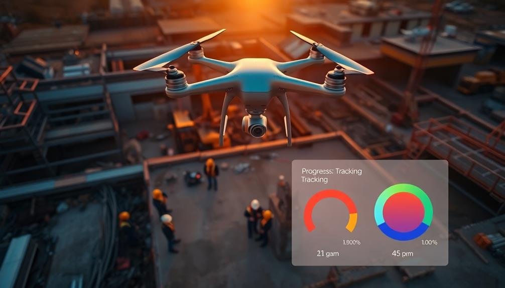
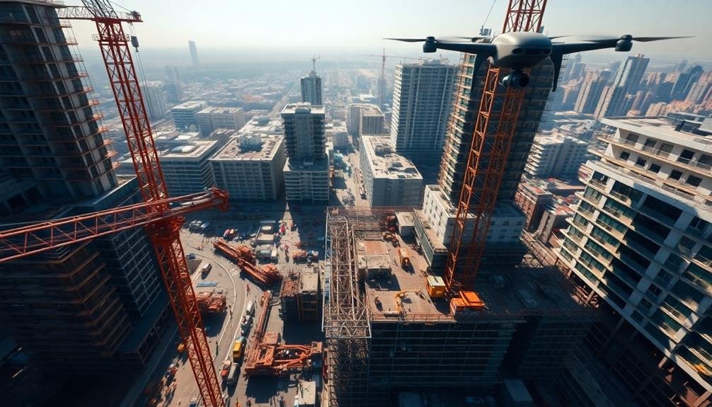
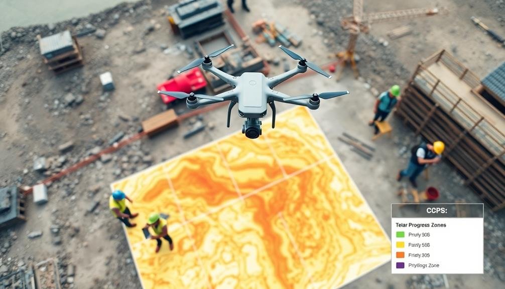
Aerial Photography With Drones
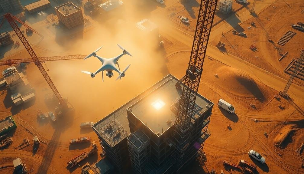
Aerial photography with drones has revolutionized construction site monitoring. You can now capture high-resolution images and videos of your entire project from various angles and heights. This technology allows you to track progress, identify potential issues, and make informed decisions quickly.
To implement drone monitoring effectively, you'll need to invest in a quality drone with a good camera and GPS capabilities. You'll also want to verify your pilots are trained and licensed according to local regulations. Plan regular flight schedules to maintain consistent documentation of your site's progress.
Drones can help you create detailed 3D maps and models of your construction site, which are invaluable for planning and communication with stakeholders. You can use these images to measure stockpiles, assess earthwork progress, and verify building dimensions.
When using drones, be mindful of safety considerations. Always maintain visual line of sight with the drone, avoid flying over people, and respect privacy concerns of neighboring properties.
LiDAR Scanning Technology

LiDAR scanning technology offers unparalleled accuracy and precision for construction site monitoring.
You'll find its ability to create highly detailed 3D maps invaluable for project planning and progress tracking.
With LiDAR, you can quickly capture extensive site data, including terrain features, structures, and equipment positions, all with millimeter-level accuracy.
Lidar Accuracy and Precision
Precision and accuracy are hallmarks of LiDAR scanning technology in construction site monitoring. You'll find that LiDAR systems can achieve sub-centimeter accuracy, with some high-end devices boasting precision levels of 1-2 millimeters. This exceptional level of detail allows you to capture intricate site features and detect even the slightest deviations from design plans.
LiDAR's accuracy stems from its ability to emit millions of laser pulses per second, creating dense point clouds that represent your construction site in three dimensions. You'll appreciate how this technology can penetrate vegetation and capture ground features that might be obscured from traditional aerial photography.
When you're working with LiDAR data, you'll notice its reliability across various lighting conditions and weather scenarios. Unlike photogrammetry, LiDAR doesn't rely on ambient light, making it effective for nighttime or low-light monitoring. You can also count on consistent results in challenging environments, such as areas with shadows or reflective surfaces.
To guarantee peak accuracy, you'll need to take into account factors like scanner calibration, GPS integration, and data processing techniques. By following best practices and using high-quality equipment, you'll harness LiDAR's full potential for precise construction site monitoring.
3D Mapping Capabilities
One of the most impressive aspects of LiDAR scanning technology is its 3D mapping capabilities. You'll find that LiDAR can create highly detailed, three-dimensional models of your construction site with remarkable accuracy. These 3D maps provide you with a thorough view of your project, allowing you to detect changes, measure progress, and identify potential issues.
LiDAR's 3D mapping capabilities offer several advantages for construction site monitoring:
| Feature | Benefit | Application |
|---|---|---|
| High Resolution | Precise measurements | Volumetric calculations |
| Large Coverage | Efficient data collection | Site-wide progress tracking |
| Multiple Returns | Penetrates vegetation | Terrain mapping under foliage |
You can use these 3D maps to perform accurate volumetric calculations, track earthwork progress, and plan for future construction phases. The technology's ability to capture data quickly and efficiently means you'll have up-to-date information at your fingertips. This enables you to make informed decisions and address any discrepancies between the planned design and actual construction. By leveraging LiDAR's 3D mapping capabilities, you'll enhance your project management, improve safety, and increase overall efficiency on your construction site.
Thermal Imaging for Heat Detection
In the domain of construction site monitoring, thermal imaging stands out as a powerful tool for heat detection. This technology allows you to identify temperature variations across your construction site, providing valuable insights into potential issues and safety concerns.
You'll find thermal imaging particularly useful for detecting heat anomalies in electrical systems, machinery, and HVAC equipment. By spotting overheating components early, you can prevent equipment failures and reduce the risk of fires.
It's also effective for identifying insulation defects, air leaks, and moisture intrusion in buildings under construction.
Thermal cameras can help you monitor concrete curing processes, ensuring ideal temperature conditions for strength development. You'll be able to detect hot spots in freshly poured concrete, allowing for timely interventions to prevent thermal cracking.
When conducting night inspections, thermal imaging enables you to detect unauthorized personnel or equipment operating on your site. This enhances security and helps prevent theft or vandalism.
To maximize the benefits of thermal imaging, you should invest in high-quality cameras and train your staff to interpret thermal data accurately.
Regular inspections using this technology will greatly improve your site's safety, efficiency, and overall project quality.
Photogrammetry and 3D Modeling

Photogrammetry and 3D modeling revolutionize your ability to map construction sites with unprecedented accuracy.
You'll capture detailed terrain information using aerial imagery, which can be processed into highly precise 3D models.
These models enable you to perform volumetric calculations for earthwork, helping you track progress and estimate material quantities with greater efficiency.
Precise Terrain Mapping
Precise terrain mapping has revolutionized construction site monitoring through the use of photogrammetry and 3D modeling techniques. You'll find that these advanced methods provide incredibly detailed and accurate representations of your construction site's topography.
By capturing multiple aerial images and processing them with specialized software, you can create highly accurate 3D models of your site. These models allow you to:
| Benefits | Applications |
|---|---|
| Measure distances | Site planning |
| Calculate volumes | Earthwork estimation |
| Detect changes | Progress tracking |
| Identify hazards | Safety management |
| Improve communication | Stakeholder presentations |
You'll appreciate the ability to perform virtual site walkthroughs, which can save time and reduce the need for frequent on-site visits. With precise terrain mapping, you can easily track changes in elevation, monitor excavation progress, and plan for future construction phases.
Don't overlook the importance of selecting the right equipment and software for your specific needs. High-resolution cameras, GPS-enabled drones, and powerful photogrammetry software are essential tools for achieving the best results. By investing in these technologies, you'll enhance your decision-making capabilities and streamline your construction monitoring processes.
Volumetric Calculations
Building upon the foundation of precise terrain mapping, volumetric calculations take construction site monitoring to the next level. With photogrammetry and 3D modeling, you can accurately measure and track the volume of materials on your construction site.
You'll use specialized software to process aerial images and create detailed 3D models of your site. These models allow you to calculate volumes of stockpiles, excavations, and fill areas with remarkable precision. You can easily track changes over time, comparing models from different dates to determine how much material has been moved or added.
This technique is invaluable for monitoring earthwork progress, managing inventory, and verifying contractor work. You'll save time and money by avoiding manual measurements and reducing disputes over quantities.
Volumetric calculations also help you optimize material usage and prevent shortages or overages.
To implement this method, you'll need high-quality aerial imagery, powerful processing software, and skilled technicians. While the initial investment may be significant, the long-term benefits in accuracy, efficiency, and cost savings make it a worthwhile addition to your construction site monitoring toolkit.
Time-Lapse Aerial Video Capture
As construction projects evolve, time-lapse aerial video capture has emerged as a powerful tool for monitoring and documenting progress. This technique involves using drones or fixed cameras to capture images at regular intervals, which are then compiled into a seamless video.
You'll find this method particularly useful for tracking large-scale projects, as it provides a thorough view of the entire site over time.
To implement time-lapse aerial video capture effectively, you'll need to plan your shots carefully. Choose strategic vantage points that offer clear views of key areas and guarantee consistent flight paths for drones.
You'll also want to set appropriate time intervals between shots, depending on the pace of your project.
The benefits of this technique are numerous:
- It creates a visual narrative that showcases your project's transformation, inspiring pride and excitement among stakeholders.
- It helps identify potential issues or bottlenecks in the construction process, allowing for timely interventions.
- It serves as a powerful marketing tool, demonstrating your company's efficiency and attention to detail.
Multispectral Imaging for Analysis

Technological advancement has paved the way for multispectral imaging in construction site monitoring. This cutting-edge technique allows you to capture and analyze data across multiple electromagnetic spectrum bands, providing invaluable insights into your construction project's progress and potential issues.
With multispectral imaging, you'll be able to detect problems that aren't visible to the naked eye. You can identify moisture issues, assess vegetation health, and even detect thermal anomalies that might indicate structural or insulation problems.
By using specialized cameras mounted on drones or satellites, you'll gather data in various wavelengths, including visible light, near-infrared, and thermal infrared.
The analysis of this multispectral data can help you make informed decisions about your construction project. You'll be able to monitor soil conditions, track the curing process of concrete, and identify areas of heat loss or gain.
This information can lead to improved energy efficiency, better resource allocation, and early detection of potential construction defects. By incorporating multispectral imaging into your site monitoring strategy, you'll enhance your ability to manage risks, optimize project timelines, and guarantee the overall quality of your construction project.
GPS-Enabled Mapping and Surveying
GPS-enabled mapping and surveying has revolutionized construction site monitoring. You'll find this technology indispensable for tracking progress, ensuring accuracy, and maintaining site safety. By using GPS-equipped devices, you can create highly detailed and precise maps of your construction site, allowing for real-time updates and efficient project management.
With GPS-enabled mapping, you're able to:
- Instantly locate and track equipment, materials, and personnel across the site
- Accurately measure distances, areas, and elevations without manual surveys
- Quickly identify potential hazards or discrepancies between plans and actual site conditions
You'll appreciate the improved efficiency and reduced errors that come with GPS mapping. It's particularly useful for large-scale projects, where traditional surveying methods can be time-consuming and prone to inaccuracies.
By integrating GPS data with your project management software, you'll have an all-encompassing view of your site's progress and can make informed decisions quickly.
Moreover, GPS-enabled mapping supports better collaboration among team members. You can easily share up-to-date site information with stakeholders, ensuring everyone's working from the same accurate data.
This technology isn't just about improving efficiency; it's about transforming how you manage and monitor construction projects.
Frequently Asked Questions
How Do Weather Conditions Affect Aerial Monitoring Techniques?
Weather conditions greatly impact your aerial monitoring. You'll face challenges with wind, rain, and fog. They can affect visibility, drone stability, and data quality. You'll need to adapt your techniques and schedule flights during ideal weather windows.
What Are the Legal Requirements for Using Drones in Construction Monitoring?
You'll need a remote pilot certificate and FAA registration for your drone. Follow local regulations on flight restrictions, altitude limits, and privacy laws. Always obtain permission from property owners before conducting aerial monitoring of construction sites.
Can AI Be Integrated Into Aerial Monitoring for Real-Time Data Analysis?
Yes, you can integrate AI into aerial monitoring for real-time data analysis. It'll help you quickly identify issues, track progress, and make informed decisions on-site. You'll benefit from automated pattern recognition and instant insights during construction projects.
How Does Aerial Monitoring Impact Worker Privacy on Construction Sites?
You'll find aerial monitoring can impact worker privacy on construction sites. It's capturing your movements and activities throughout the day. You're potentially under constant surveillance, which may feel intrusive and raise concerns about personal data protection.
What Are the Cost Differences Between Various Aerial Monitoring Technologies?
You'll find drones are the most cost-effective option, typically ranging from $1,000 to $10,000. Manned aircraft are pricier, costing $150-$500 per hour. Satellite imagery's the most expensive, with prices varying widely based on resolution and frequency.
In Summary
You've now explored seven powerful techniques for monitoring construction sites from above. By embracing these advanced technologies, you'll gain unprecedented insights into your project's progress, safety, and efficiency. Whether you're using drones, LiDAR, or multispectral imaging, you're equipping yourself with valuable tools to make informed decisions. Don't hesitate to integrate these methods into your workflow – they'll revolutionize how you oversee and manage your construction sites, giving you a competitive edge in the industry.
As educators and advocates for responsible drone use, we’re committed to sharing our knowledge and expertise with aspiring aerial photographers.


Leave a Reply