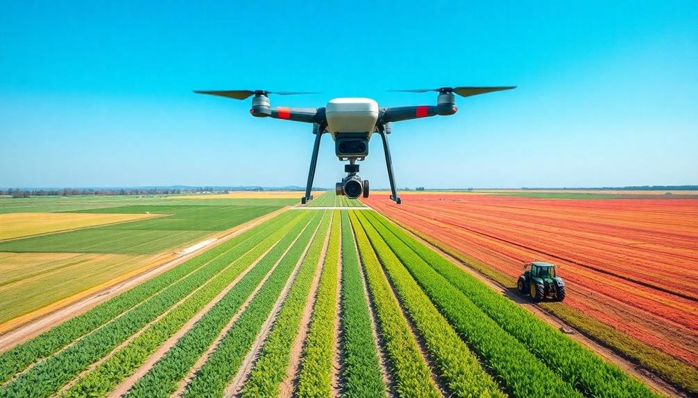
Precision farming needs eyes in the sky to transform traditional agriculture into data-driven operations. You'll gain invaluable insights from aerial imagery, allowing you to analyze crop health, manage irrigation precisely, and detect pests early. Satellite and drone technology provide spectral data that reveal hidden information about your fields, helping you optimize fertilizer application and predict yields accurately. These aerial views enable you to make informed decisions, reduce waste, and boost productivity while minimizing environmental impact. By leveraging eyes in the sky, you'll cut costs, increase efficiency, and stay ahead in modern agriculture. Discover how this technology can revolutionize your farming practices.
Revolutionizing Agricultural Practices
The agricultural landscape is undergoing a seismic shift with the advent of precision farming. You're witnessing a revolution that's transforming traditional farming methods into data-driven, technology-enabled operations.
Precision farming uses satellite imagery, GPS technology, and IoT sensors to optimize crop yields and resource management.
You'll find that this approach allows you to make informed decisions about planting, irrigation, and harvesting. By analyzing soil composition, weather patterns, and crop health from above, you can tailor your farming strategies to specific areas of your fields. This micro-management reduces waste and increases efficiency.
You're no longer relying on guesswork or broad applications of resources. Instead, you're using real-time data to apply water, fertilizers, and pesticides exactly where and when they're needed. This precision not only boosts your crop yields but also minimizes environmental impact.
As you adopt these technologies, you'll notice a significant improvement in your farm's productivity and sustainability. Precision farming is helping you meet the growing global demand for food while conserving resources and reducing your ecological footprint.
Aerial Imagery for Crop Analysis
You'll find that aerial imagery has transformed crop analysis through spectral data insights.
By capturing multispectral and hyperspectral images from drones or satellites, you're able to detect subtle changes in plant health and stress levels.
This real-time crop health information allows you to make timely decisions about irrigation, fertilization, and pest management, optimizing your farm's productivity and resource use.
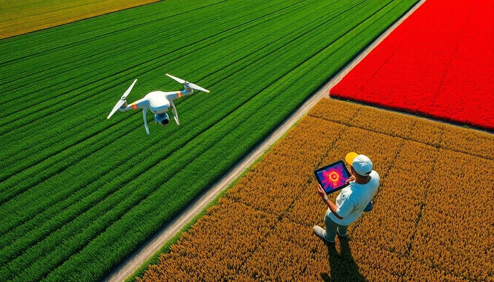
Spectral Data Insights
Thanks to advances in remote sensing technology, farmers can now gain valuable insights into their crops' health and productivity through spectral data analysis. You'll find that spectral data collected by drones or satellites reveals information invisible to the naked eye. This data helps you identify issues like nutrient deficiencies, pest infestations, or water stress before they become visible.
By analyzing different wavelengths of light reflected from your crops, you can assess chlorophyll content, leaf area index, and biomass. These indicators give you a clear picture of crop health and potential yield.
You'll also be able to detect variations in soil moisture and composition, allowing for targeted irrigation and fertilization.
Spectral data enables you to create detailed vegetation indices, such as the Normalized Difference Vegetation Index (NDVI). These indices help you track crop growth patterns and identify areas that need attention.
With this information, you can make informed decisions about resource allocation, reducing waste and maximizing productivity.
Real-Time Crop Health
Imagine having a bird's-eye view of your entire farm, updated daily. That's the power of real-time crop health monitoring through aerial imagery. You'll spot issues before they become widespread, saving time and resources.
With drones or satellites capturing high-resolution images, you can:
- Detect pest infestations early
- Identify areas of nutrient deficiency
- Spot irrigation problems quickly
- Monitor crop growth stages accurately
- Assess storm damage efficiently
These insights enable you to make data-driven decisions about when and where to apply treatments. You'll optimize your inputs, reducing waste and environmental impact while maximizing yields.
Real-time crop health monitoring isn't just about reactive measures. It's a proactive approach to farming.
You'll understand your fields better than ever before, identifying patterns and trends over time. This knowledge will inform your long-term strategies, from crop rotation to soil management.
Precision Irrigation Management
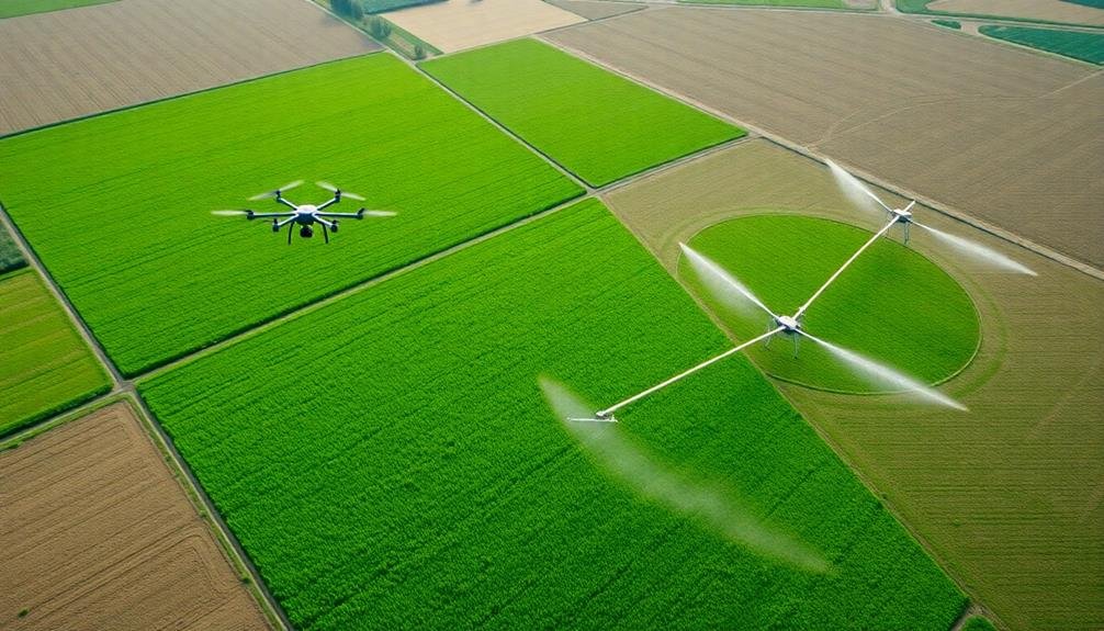
In light of increasing water scarcity and the need for sustainable agriculture, precision irrigation management has emerged as a critical component of modern farming practices. By leveraging satellite imagery and drone technology, you can optimize your water usage and improve crop yields.
You'll be able to monitor soil moisture levels across your fields in real-time, allowing you to make data-driven decisions about when and where to irrigate. This targeted approach guarantees that each plant receives the exact amount of water it needs, reducing waste and maximizing efficiency.
Here's how precision irrigation management can benefit your farm:
| Benefits | Traditional Irrigation | Precision Irrigation |
|---|---|---|
| Water Usage | High | Reduced by 20-30% |
| Crop Yield | Variable | Increased by 10-15% |
| Labor Costs | High | Reduced by 30-40% |
| Energy Consumption | High | Reduced by 15-25% |
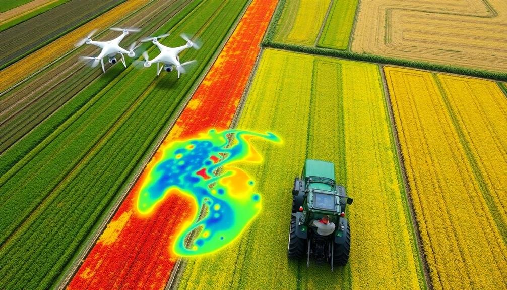
Early Pest and Disease Detection
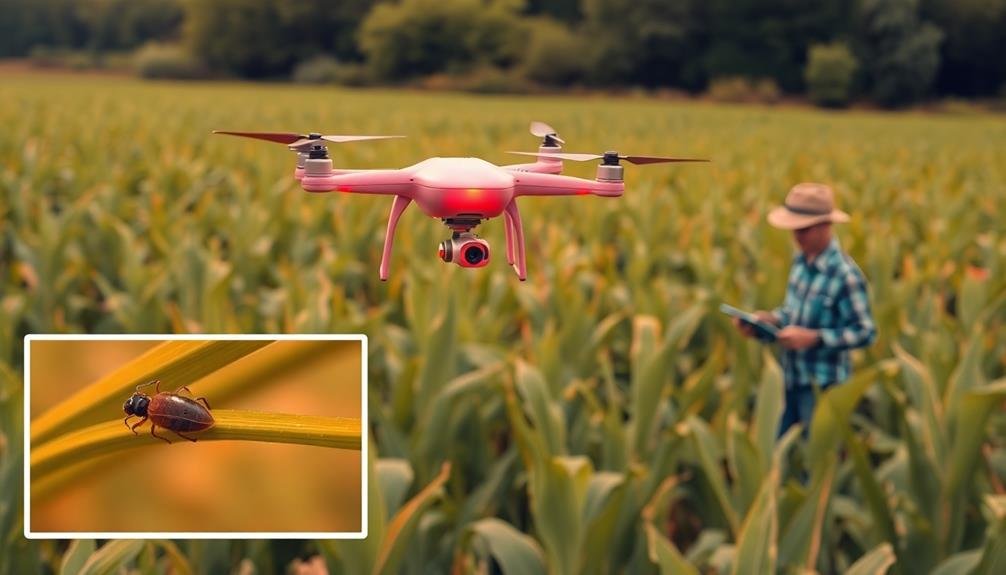
Detecting pests and diseases early can make or break your crop yield. With precision farming and satellite technology, you'll have a powerful ally in identifying potential threats before they become widespread issues. These "eyes in the sky" can spot subtle changes in crop health that might go unnoticed during ground-level inspections.
By analyzing multispectral imagery, you can identify areas of stress in your fields that may indicate pest infestations or disease outbreaks. This early detection allows you to take swift, targeted action, potentially saving entire harvests.
You'll be able to:
- Pinpoint affected areas with GPS accuracy
- Differentiate between various types of stress
- Track the spread of infestations over time
- Optimize pesticide application
- Reduce overall chemical usage
With this technology, you're not just reacting to problems; you're proactively managing your crops' health.
You'll save time, money, and resources by addressing issues in their early stages. Plus, you'll minimize environmental impact by applying treatments only where needed. Embracing precision farming's early pest and disease detection capabilities means you're positioning yourself at the forefront of sustainable and efficient agriculture.
Optimizing Fertilizer Application
You'll find that soil nutrient mapping is an essential first step in optimizing fertilizer application.
Once you've mapped your field's nutrient levels, you can implement variable-rate technology to apply fertilizer precisely where it's needed.
This targeted approach not only improves crop yields but also reduces the environmental impact of excess fertilizer runoff.
Soil Nutrient Mapping
Soil nutrient mapping revolutionizes fertilizer application in precision farming. You'll gain a thorough understanding of your field's nutrient distribution, allowing for targeted and efficient fertilizer use.
By analyzing satellite imagery and drone-collected data, you can create detailed maps showing variations in soil composition across your farmland.
These maps enable you to:
- Identify areas of nutrient deficiency or excess
- Plan precise fertilizer application strategies
- Reduce waste and environmental impact
- Improve crop yields and quality
- Monitor changes in soil health over time
With soil nutrient mapping, you're no longer relying on guesswork or uniform application methods. Instead, you're making data-driven decisions tailored to your field's specific needs.
You'll apply fertilizer only where it's needed, in the right amounts, saving money and resources while optimizing crop growth.
Variable-Rate Technology Implementation
With soil nutrient mapping in hand, it's time to put that data to work through variable-rate technology (VRT) implementation. VRT allows you to apply fertilizers and other inputs at varying rates across your fields, optimizing resource use and maximizing crop yields. You'll need to invest in compatible equipment, such as GPS-guided applicators and controllers, to execute this precision farming technique effectively.
When implementing VRT, you'll create prescription maps based on your soil nutrient data. These maps guide your equipment to apply the right amount of fertilizer in each zone. Here's a breakdown of the VRT implementation process:
| Step | Action | Benefit |
|---|---|---|
| 1. Data analysis | Interpret soil maps | Identify nutrient needs |
| 2. Prescription creation | Generate application maps | Optimize input allocation |
| 3. Equipment calibration | Set up VRT machinery | guarantee accurate application |
Reducing Environmental Impact
One of the most significant benefits of precision farming is its potential to reduce environmental impact through optimized fertilizer application.
By using satellite imagery and drone technology, you can precisely map your fields and identify areas that need specific nutrient treatments. This targeted approach allows you to apply fertilizers only where they're needed, reducing overall usage and minimizing runoff into nearby water sources.
You'll see several advantages when implementing this strategy:
- Lower fertilizer costs
- Reduced soil degradation
- Improved crop yields
- Decreased water pollution
- Enhanced biodiversity in surrounding ecosystems
Yield Prediction and Monitoring
Three key aspects of precision farming revolve around yield prediction and monitoring. You'll find that satellite imagery, drone surveillance, and ground-based sensors work together to provide accurate, real-time data on crop health and potential yields. By analyzing this information, you can make informed decisions about resource allocation and harvest timing.
With satellite imagery, you'll get a broad overview of your fields, allowing you to spot patterns and anomalies across large areas. Drones offer more detailed, on-demand imagery, helping you zoom in on specific problem areas. Ground-based sensors provide essential data on soil moisture, temperature, and nutrient levels.
Here's how these technologies compare:
| Technology | Coverage Area | Resolution | Frequency |
|---|---|---|---|
| Satellites | Large | Medium | Weekly |
| Drones | Medium | High | On-demand |
| Sensors | Small | Very High | Continuous |
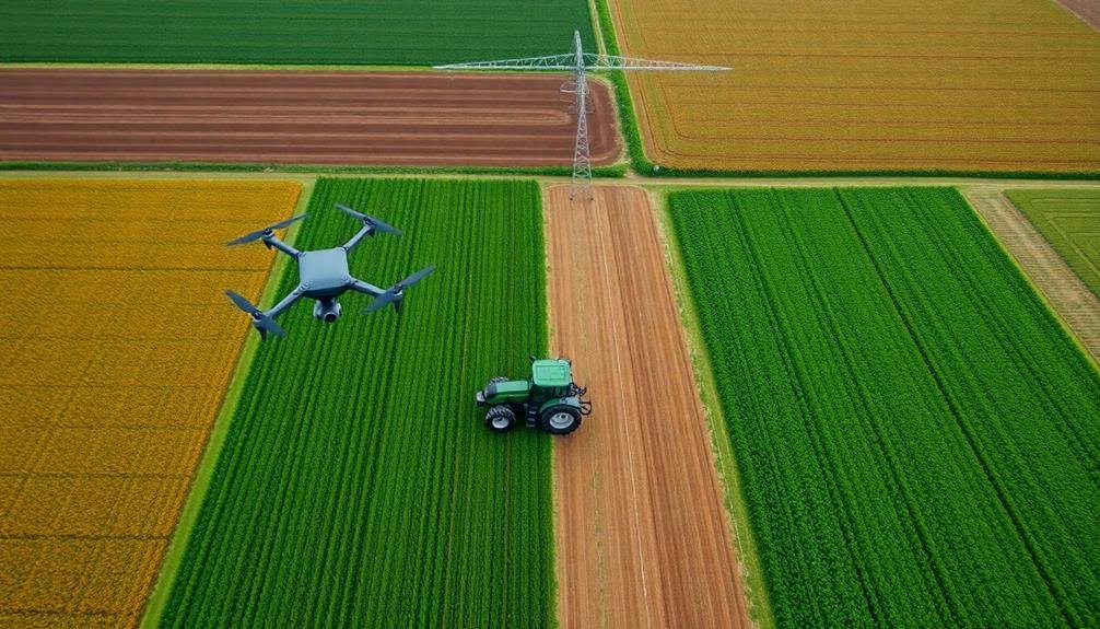
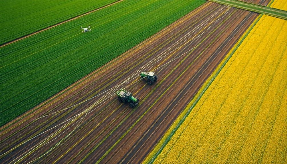
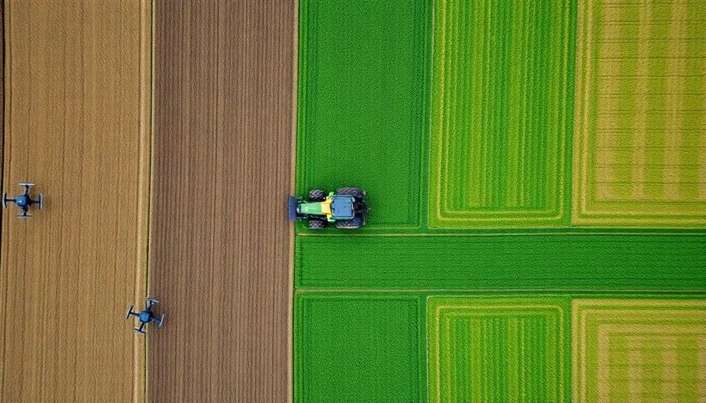
Cost-Effectiveness of Drone Technology
Drone technology's cost-effectiveness in precision farming has become increasingly apparent in recent years. You'll find that investing in drones can greatly reduce your operating costs while improving crop yields. These aerial vehicles provide you with high-resolution imagery and data at a fraction of the cost of traditional satellite or manned aircraft surveys.
When you consider the cost-effectiveness of drone technology in precision farming, keep these benefits in mind:
- Reduced labor costs for field scouting and monitoring
- Decreased use of pesticides and fertilizers through targeted application
- Improved water management and irrigation efficiency
- Early detection of crop diseases and pest infestations
- Increased overall farm productivity and profitability
You'll notice that the initial investment in drone technology can be quickly offset by the savings in time, resources, and increased yields.
As you implement drone-based solutions, you'll be able to make more informed decisions about crop management, leading to optimized resource allocation and reduced waste.
With the ability to survey large areas quickly and frequently, you'll stay ahead of potential issues and maximize your farm's efficiency.
The cost-effectiveness of drone technology makes it an invaluable tool for modern precision farming practices.
Frequently Asked Questions
How Do Drones Handle Varying Weather Conditions During Aerial Surveys?
You'll find that drones adapt to weather challenges during aerial surveys. They're equipped with stabilization systems, weatherproofing, and sensors. You can adjust flight paths, timing, and altitudes to optimize data collection in different conditions.
What Training Is Required for Farmers to Operate Agricultural Drones?
You'll need training on drone regulations, flight operations, safety procedures, and data analysis. You should complete a certified course, gain hands-on experience, and stay updated on technology. Don't forget to obtain necessary licenses for commercial drone use.
Are There Privacy Concerns When Using Drones Over Farmland?
You should be aware of privacy concerns when using drones over farmland. They could capture images of neighboring properties or people without consent. It's important to follow local regulations and respect others' privacy rights when operating agricultural drones.
How Do Precision Farming Drones Integrate With Existing Farm Management Software?
You'll find that precision farming drones integrate seamlessly with your existing farm management software. They'll sync data on crop health, soil conditions, and yield estimates directly to your system, allowing you to make informed decisions quickly and efficiently.
What Regulations Govern the Use of Drones in Agriculture?
You'll need to comply with FAA regulations for commercial drone use in agriculture. This includes getting a remote pilot certificate, registering your drone, and following rules on flight altitude, airspace restrictions, and visual line-of-sight requirements.
In Summary
You've seen how precision farming's "eyes in the sky" are transforming agriculture. With drones and satellites, you'll boost crop yields, save water, catch pests early, and apply fertilizer more efficiently. You're not just farming smarter; you're farming sustainably. As technology advances, you'll find these aerial tools becoming more accessible and cost-effective. Embrace this revolution, and you'll be at the forefront of modern agriculture, maximizing your farm's potential while minimizing environmental impact.
As educators and advocates for responsible drone use, we’re committed to sharing our knowledge and expertise with aspiring aerial photographers.


Leave a Reply