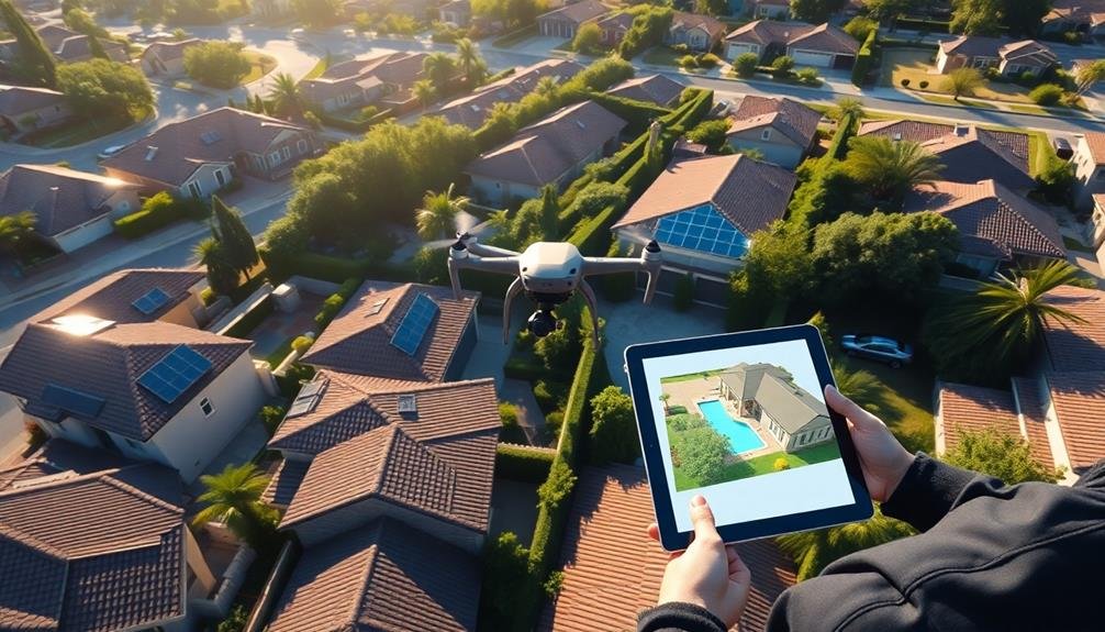
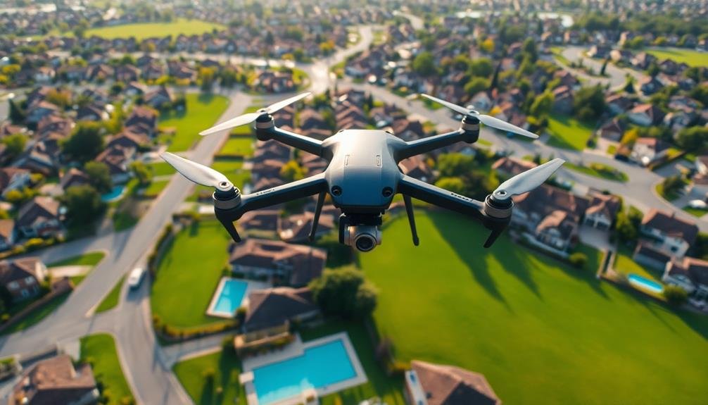
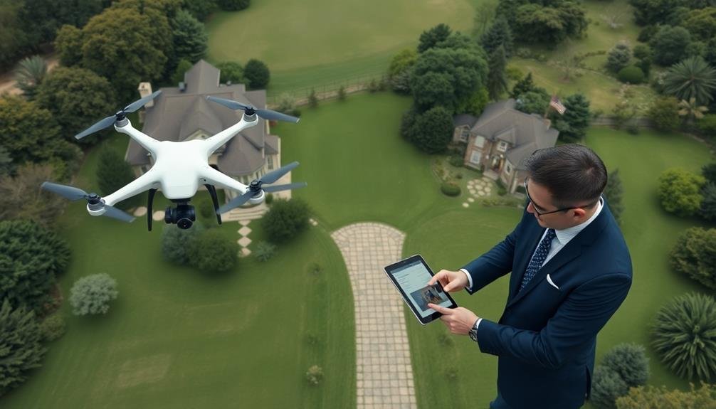
Drone technology is transforming real estate appraisals, offering you unprecedented bird's-eye views of properties. These aerial perspectives provide extensive insights, allowing for accurate land assessments and precise measurements. You'll benefit from enhanced visualization of property layouts, boundaries, and nearby amenities. Drones also improve safety by inspecting hard-to-reach areas like roofs and chimneys. They save time through remote evaluations and increase productivity for appraisers. While challenges exist, including regulatory compliance and privacy concerns, the advantages are substantial. Integrating drone imagery with traditional methods creates a more thorough appraisal process, positioning you at the forefront of industry innovation. Discover how this revolutionary approach is reshaping property valuations.
Key Takeaways
- Drones provide aerial imagery for comprehensive property insights, enabling accurate land assessments and precise measurements.
- High-resolution images and videos capture hard-to-reach areas, enhancing safety and efficiency in property inspections.
- Remote evaluations save time and improve appraisal accuracy, increasing productivity for property appraisers.
- Aerial footage reveals property layout, boundaries, nearby amenities, topography, and potential flood risks.
- Integration of drone technology with traditional methods creates a more comprehensive and accurate appraisal process.
The Rise of Drone Technology
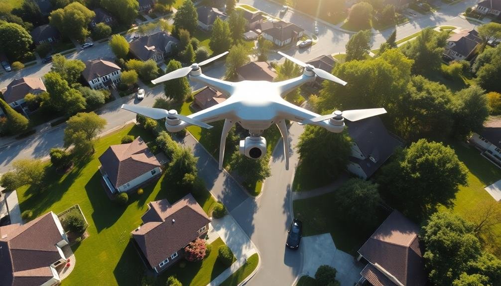
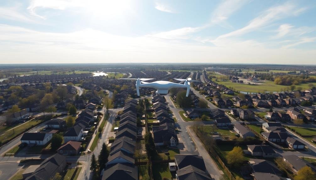
One of the most transformative technologies in real estate appraisals has been the adoption of drones. You'll find that these unmanned aerial vehicles have revolutionized the way property assessments are conducted. Drones provide a unique bird's-eye view of properties, allowing appraisers to capture high-resolution images and videos of hard-to-reach areas.
With drones, you can now inspect roofs, chimneys, and other elevated structures without the need for ladders or scaffolding. This not only improves safety but also saves time and reduces costs. You'll appreciate the ability to survey large parcels of land quickly, assess property boundaries, and identify potential issues that mightn't be visible from the ground.
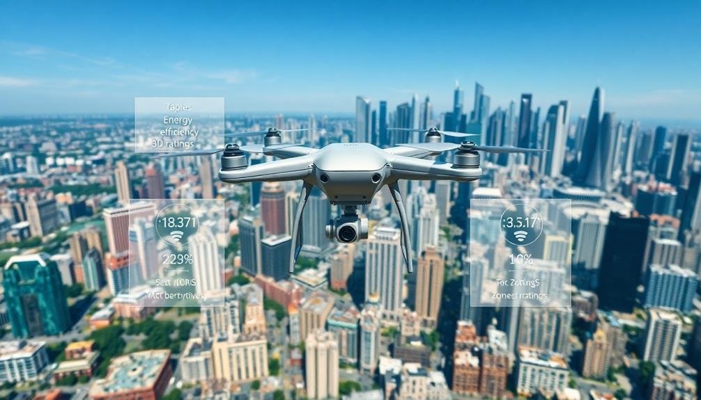
Drones equipped with thermal imaging cameras can detect heat loss, helping you identify insulation problems or potential water damage. You can also use them to create 3D models of properties, offering an extensive view for accurate valuations.
As drone technology continues to advance, you'll see more sophisticated applications in real estate appraisals, such as AI-powered analysis of aerial footage and integration with other property data sources.
Aerial Imagery in Real Estate
Aerial imagery has transformed how you view and assess properties in real estate.
You'll find that enhanced property visualization allows for a thorough understanding of a property's layout, surroundings, and potential.
This technology enables you to conduct accurate land assessments, providing precise measurements and detailed insights into topography and land features.
Enhanced Property Visualization
Real estate's visual landscape has undergone a dramatic transformation with the advent of aerial imagery. You'll now find property listings enhanced with stunning bird's-eye views, offering a detailed perspective that ground-level photos simply can't match.
These aerial shots provide you with a clear understanding of a property's layout, boundaries, and surrounding area. With enhanced property visualization, you're able to assess the condition of roofs, identify potential issues with landscaping, and gauge the proximity to neighboring structures.
You'll appreciate the ability to spot nearby amenities, such as parks or schools, that mightn't be immediately apparent from street-level images. Advanced drones equipped with high-resolution cameras capture these aerial views, allowing you to virtually explore properties from multiple angles.
You can now examine the overall topography, assess flood risks, and even evaluate the potential for future development in the area. This technology isn't just enhancing listings; it's revolutionizing the appraisal process.
Appraisers can now conduct more thorough evaluations remotely, saving time and resources while providing more accurate assessments. You'll benefit from this increased efficiency and precision in property valuation.
Accurate Land Assessment
As technology continues to advance, accurate land assessment has become increasingly accessible through aerial imagery. You'll find that drones and satellite images now provide detailed views of properties, allowing for precise measurements and evaluations. This technology enables you to assess land features, boundaries, and topography without stepping foot on the property.
You can use aerial imagery to:
| Benefits | Applications | Challenges |
|---|---|---|
| Time-saving | Property sizing | Weather limitations |
| Cost-effective | Boundary disputes | Image resolution |
| All-encompassing view | Flood risk assessment | Data interpretation |
| Historical comparisons | Development planning | Privacy concerns |
| Accessibility | Environmental impact | Regulatory compliance |
With these tools, you're able to identify potential issues, such as encroachments or zoning violations, that might not be apparent from ground level. You'll also gain insights into a property's surroundings, including nearby amenities, infrastructure, and natural features.
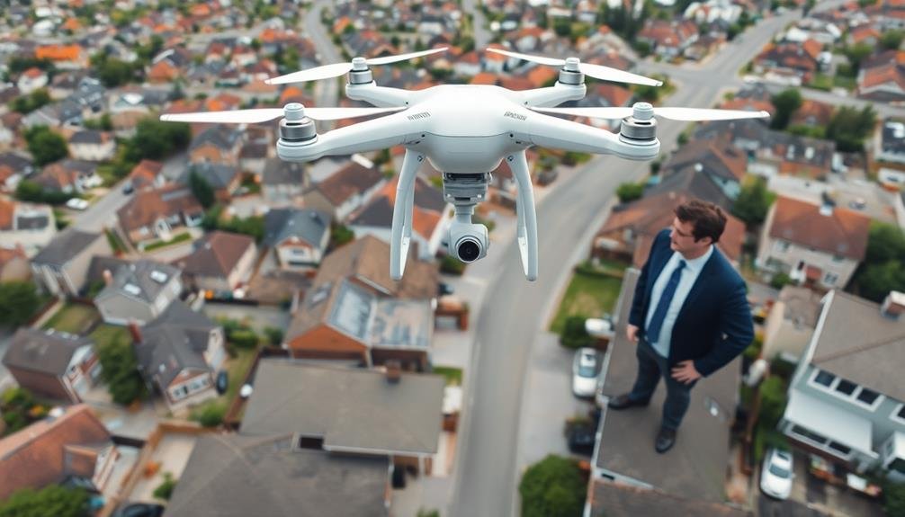
Benefits for Property Appraisers

As a property appraiser, you'll find that aerial imagery offers significant advantages to your work.
You'll achieve increased accuracy and precision in your assessments while saving valuable time and reducing costs associated with on-site visits.
Furthermore, you'll enhance your property documentation with extensive visual data, providing a more complete picture of each property you evaluate.
Increased Accuracy and Precision
Property appraisers consistently benefit from the increased accuracy and precision offered by revolutionary appraisal technologies.
You'll find that advanced tools like 3D scanning, artificial intelligence, and drone imagery greatly enhance your ability to assess properties with greater detail and reliability. These technologies allow you to capture and analyze minute details that might've been overlooked in traditional appraisals.
With 3D scanning, you can create highly accurate digital models of properties, enabling precise measurements and virtual walkthroughs.
AI algorithms help you process vast amounts of data quickly, identifying patterns and trends that inform your valuations.
Drone imagery provides you with thorough aerial views, revealing property features and conditions that are difficult to assess from the ground.
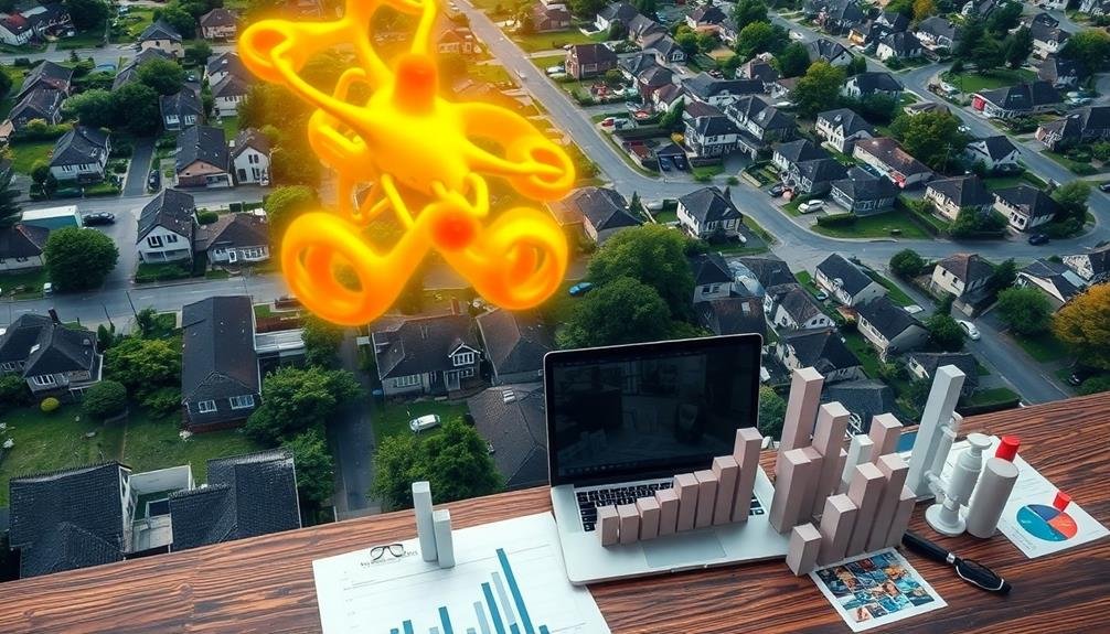
Time and Cost Savings
With the adoption of revolutionary appraisal technologies, you'll experience significant time and cost savings in your property assessment process.
You'll no longer need to schedule multiple on-site visits, as drone imagery and 3D modeling allow you to conduct thorough evaluations remotely. This reduces travel expenses and eliminates the need for time-consuming physical measurements.
Automated valuation models (AVMs) will streamline your data analysis, cutting hours off your workload.
These AI-powered tools quickly process vast amounts of market data, providing you with accurate property valuations in minutes. You'll also save time on paperwork, as digital platforms enable seamless report generation and client communication.
Mobile apps and cloud-based software will give you instant access to property information and comparables, allowing you to work efficiently from anywhere.
This flexibility increases your productivity and enables you to handle more appraisals in less time. Additionally, you'll reduce overhead costs associated with traditional office spaces and paper-based systems.
Enhanced Property Documentation
Cutting-edge technologies are transforming property documentation for appraisers like you. With drones and 3D imaging, you'll capture extensive aerial views and detailed interior scans, providing a complete picture of the property. These tools allow you to document hard-to-reach areas, measure spaces accurately, and create virtual tours.
You'll benefit from enhanced data collection, improving the accuracy and reliability of your appraisals. Digital documentation reduces the risk of overlooking property features or defects, ensuring a more thorough assessment. Plus, you can easily share this rich visual data with clients, lenders, and other stakeholders.
| Emotion | Traditional Method | Advanced Technology |
|---|---|---|
| Frustration | Limited access | Extensive views |
| Uncertainty | Potential oversights | Detailed documentation |
| Confidence | Manual measurements | Precise digital scans |
| Satisfaction | Basic photos | Immersive virtual tours |
Challenges and Legal Considerations

The real estate industry's adoption of AI-driven appraisal methods isn't without its hurdles. You'll need to navigate a complex landscape of regulatory compliance and ethical concerns.
Privacy issues loom large, as drone footage and AI analysis may capture sensitive information about neighboring properties or individuals. You'll have to guarantee your practices align with local and federal regulations governing data collection and use.
Accuracy and reliability of AI algorithms present another challenge. You must validate and continuously improve these systems to avoid biased or inaccurate appraisals. This includes addressing potential discrepancies between AI-generated valuations and traditional human assessments.
Legal considerations extend to liability issues. If an AI-driven appraisal proves faulty, who's responsible? You'll need to establish clear frameworks for accountability and dispute resolution.
Additionally, you must consider intellectual property rights related to the AI algorithms and data sets used in these appraisals.
Lastly, you'll face the task of integrating these new technologies with existing appraisal standards and practices. This may require updating industry guidelines and educating stakeholders about the benefits and limitations of AI-driven appraisals.
Equipment and Software Requirements
To get started with drone-based real estate appraisals, you'll need to invest in the right equipment and software.
Your drone should meet essential hardware specifications, including high-resolution cameras, GPS capabilities, and extended flight times.
You'll also want to explore aerial imaging software options and data processing tools that can transform your raw footage into valuable property insights.
Essential Drone Hardware Specs
Drones used for real estate appraisals require specific hardware and software to effectively capture and process property data. When choosing a drone for this purpose, you'll need to take into account several vital hardware specifications.
First, opt for a drone with a high-quality camera, preferably with at least 12 megapixels and 4K video capabilities. This guarantees crisp, detailed images and videos of properties. Look for models with a 3-axis gimbal for smooth, stable footage.
Flight time is important, so select a drone with a minimum of 20 minutes of battery life to cover larger properties without interruption. GPS functionality is necessary for precise positioning and mapping.
Choose a drone with obstacle avoidance sensors to prevent crashes and guarantee safe operation around buildings and trees. A reliable transmission system with a range of at least 4 kilometers will maintain a strong connection between the drone and controller.
Take into account drones with autonomous flight modes, such as waypoint navigation and orbit, to capture consistent property footage.
Aerial Imaging Software Options
Three essential aerial imaging software options stand out for real estate appraisals.
First, DroneDeploy offers extensive mapping and 3D modeling capabilities. You'll find its user-friendly interface and cloud-based processing ideal for creating detailed property maps and measurements. It's compatible with various drones and provides real-time data sharing.
Second, Pix4D specializes in photogrammetry software. It excels in creating highly accurate 3D models and orthomosaic maps from drone imagery. You can use it to generate precise measurements, contour lines, and volumetric calculations, which are vital for property valuation.
Lastly, Agisoft Metashape (formerly PhotoScan) is a versatile option for professional-grade photogrammetry. It's known for its powerful algorithms that produce high-quality 3D models and orthophotos. You'll appreciate its ability to handle large datasets and generate detailed digital elevation models.
When choosing software, consider factors like ease of use, processing speed, output quality, and integration with your existing workflow.
Each option offers unique features, so evaluate them based on your specific needs and budget constraints. Remember to factor in training time and ongoing support when making your decision.
Data Processing Tools
Processing aerial imagery for real estate appraisals requires specific equipment and software.
You'll need a high-performance computer with ample RAM and a powerful graphics card to handle large image files and complex data processing tasks. Consider investing in a workstation-grade PC or a high-end laptop with at least 32GB of RAM and a dedicated GPU.
For software, you'll want to use specialized photogrammetry and GIS tools. Popular options include Pix4D, Agisoft Metashape, and DroneDeploy for creating 3D models and orthomosaics from drone imagery.
These programs allow you to stitch together multiple aerial photos and generate accurate measurements and elevation data.
You'll also need GIS software like ArcGIS or QGIS to analyze and interpret the processed data. These tools help you overlay property boundaries, assess land use, and calculate area measurements.
Additionally, consider investing in AI-powered image analysis software to automate feature detection and classification.
Don't forget about data storage solutions. You'll need ample hard drive space or cloud storage to manage large datasets.
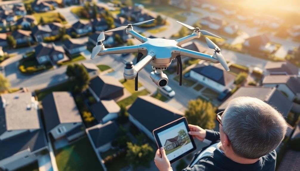
Capturing Optimal Aerial Shots
The art of capturing ideal aerial shots has become a game-changer in real estate appraisals. You'll find that drones equipped with high-resolution cameras are now vital tools for this task. To get the best results, you should focus on several key factors.
First, consider the time of day. Early morning or late afternoon light often provides the most flattering views, highlighting a property's features without harsh shadows. You'll want to plan your flights during these "golden hours" for peak results.
Next, pay attention to weather conditions. Clear, calm days are perfect for drone photography, guaranteeing crisp images and stable footage. You should avoid flying on windy or rainy days, as these conditions can compromise image quality and drone stability.
When framing your shots, include surrounding areas to give context to the property's location. You'll want to capture different angles and elevations to provide a thorough view. Don't forget to showcase unique features like pools, landscaping, or nearby amenities.
Lastly, verify you're complying with local regulations and obtaining necessary permissions before flying. This step is vital to avoid legal issues and maintain professional standards in your appraisal work.
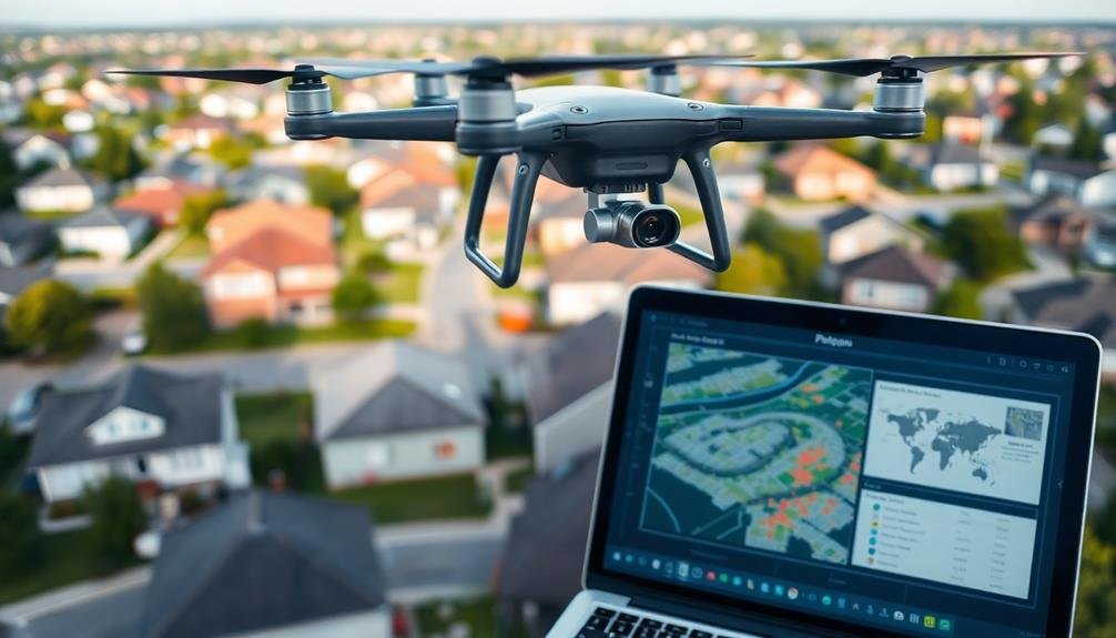
Data Analysis and Interpretation
Data analysis and interpretation frequently form the backbone of modern real estate appraisals. Once you've captured aerial imagery, you'll need to extract valuable insights from this data.
Start by using advanced image processing software to stitch together your drone photos into a thorough orthomosaic map. This will give you a detailed, distortion-free view of the entire property.
Next, you'll want to employ specialized algorithms to analyze various aspects of the property. These can help you identify features like property boundaries, building footprints, and landscape elements. You'll also be able to measure distances, areas, and volumes accurately.
Don't forget to integrate this aerial data with other sources of information. Combine it with public records, local market trends, and on-site inspections for a holistic view.
Use geographic information systems (GIS) to layer different data sets and visualize spatial relationships. As you interpret the data, look for patterns and anomalies that might affect property value.
Consider factors like proximity to amenities, flood risks, or potential for development. Remember, your goal is to provide a thorough, data-driven appraisal that clients can trust and rely on.
Integration With Existing Appraisal Methods
While embracing new technologies is exciting, it's important to remember that traditional appraisal methods still hold value. You'll find that integrating drone technology with existing appraisal techniques creates a more thorough and accurate valuation process.
By combining on-site inspections, comparables analysis, and cost approach methods with drone-captured data, you're able to enhance the overall quality of your appraisals.
You can use drone imagery to verify and supplement information gathered through traditional means. For example, you'll be able to cross-reference aerial views with property records to confirm lot sizes, boundaries, and structures.
You'll also find that drone footage helps you identify potential issues that might be missed during a standard walk-through, such as roof damage or property line encroachments.
When you incorporate drone technology into your existing workflow, you're not replacing tried-and-true methods but rather augmenting them.
This integration allows you to provide more detailed reports, reduce the risk of overlooking critical factors, and ultimately deliver more accurate and defensible valuations to your clients.
Cost-Effectiveness of Drone Imagery
At first glance, drone technology might seem like an expensive addition to your appraisal toolkit. However, when you consider the long-term benefits, it's actually a cost-effective solution.
You'll save time and money by reducing the need for multiple site visits and manual measurements. Drones can quickly capture high-resolution imagery of large properties, difficult-to-access areas, and complex structures.
You'll also minimize safety risks associated with inspecting hazardous or unstable areas. This reduction in liability can lead to lower insurance costs for your appraisal business. Additionally, the detailed aerial imagery allows you to provide more accurate and thorough reports, potentially increasing your client base and justifying higher fees.
The initial investment in drone equipment and training is offset by increased efficiency and productivity. You can complete more appraisals in less time, boosting your revenue.
As drone technology becomes more widespread, clients may come to expect this level of detail in appraisals, making it a competitive advantage. By adopting drone imagery now, you'll position yourself as an industry leader and potentially attract more high-value clients.
The cost-effectiveness of drone imagery extends beyond immediate financial gains, offering long-term benefits for your appraisal business.
Training for Aerial Appraisal Techniques
Mastering aerial appraisal techniques requires specialized training. You'll need to learn how to operate drones safely and effectively, understand aerial photography principles, and interpret the data collected from above.
Start by obtaining your FAA Part 107 certification, which allows you to fly drones commercially. This course covers airspace regulations, weather patterns, and flight operations.
Next, focus on real estate-specific aerial photography skills. You'll learn how to capture property boundaries, assess roof conditions, and identify potential issues like drainage problems or encroachments.
Training programs often include hands-on flight practice and image analysis workshops.
Dive into photogrammetry and 3D modeling software to create accurate property measurements and virtual tours. You'll also need to understand how to integrate aerial data with traditional appraisal methods, ensuring a thorough evaluation.
Stay updated on evolving technologies and regulations in the field. Attend industry conferences, participate in webinars, and join professional organizations to network with other aerial appraisers.
Consider pursuing additional certifications, such as the Certified Drone Pilot for Real Estate, to demonstrate your expertise and stand out in the market.
Future Trends in Property Assessment
Property assessment is constantly evolving, driven by technological advancements and changing market demands.
You'll soon see artificial intelligence playing a larger role in appraisals, analyzing vast amounts of data to provide more accurate valuations. Machine learning algorithms will predict market trends and property values with increasing precision, reducing human bias in the process.
Virtual and augmented reality technologies will transform property inspections, allowing appraisers to conduct detailed assessments remotely. You'll experience immersive 3D walkthroughs of properties, complete with overlaid information on structural integrity, energy efficiency, and potential renovation costs.
Blockchain technology will revolutionize property records, ensuring transparency and reducing fraud in real estate transactions. You'll have access to tamper-proof histories of property ownership, renovations, and valuations.
Environmental factors will become increasingly important in assessments. You'll see appraisals incorporating climate change risks, energy efficiency ratings, and sustainability features. Smart home technologies and Internet of Things devices will provide real-time data on property conditions and usage patterns, offering a more thorough view of a property's value.
As these trends converge, you'll witness a shift towards more dynamic, data-driven, and holistic property assessments that better reflect the complexities of modern real estate markets.
Frequently Asked Questions
How Do Weather Conditions Affect Drone-Based Property Appraisals?
Weather conditions greatly impact your drone-based property appraisals. You'll face challenges with rain, snow, and high winds. They can affect image quality, flight stability, and safety. You'll need to plan carefully and reschedule when conditions aren't favorable.
Can Drones Capture Interior Images for Property Appraisals?
You can't typically use drones for interior property appraisals. They're not designed for indoor flight and can't navigate tight spaces easily. Instead, you'll need to rely on traditional methods or specialized indoor imaging technologies for interior assessments.
Are There Specific Insurance Requirements for Using Drones in Real Estate Appraisals?
Yes, you'll need specific drone insurance for real estate appraisals. It typically covers liability and property damage. You should also check local regulations and FAA requirements. Don't forget to obtain proper certification and licensing too.
How Does Drone Technology Impact the Time Required for a Property Appraisal?
You'll find that drone technology considerably reduces appraisal time. You can capture aerial images and data quickly, eliminating the need for manual measurements. You'll process information faster, allowing you to complete appraisals more efficiently than traditional methods.
Are There Any Privacy Concerns for Neighboring Properties During Aerial Appraisals?
Yes, you'll find privacy concerns for neighboring properties during aerial appraisals. You're capturing images that may include adjacent yards or homes. It's essential you respect privacy laws and obtain necessary permissions before conducting drone surveys.
In Summary
You've seen how drone technology is transforming property appraisals. It's clear that aerial imagery offers numerous benefits, but you'll need to navigate challenges and legal considerations. As you integrate this technology, you'll find it's cost-effective and complements existing methods. Don't forget to invest in proper training and stay updated on equipment and software. Embrace this revolution in real estate assessment – it's the future of your industry.
As educators and advocates for responsible drone use, we’re committed to sharing our knowledge and expertise with aspiring aerial photographers.


Leave a Reply