
Drones are transforming land surveying by offering unparalleled precision and efficiency. You'll get centimeter-level accuracy through advanced sensors and cameras, capturing millions of data points in a single flight. They'll save you time and money by surveying large areas quickly with fewer personnel. You can access challenging terrains safely, creating detailed 3D maps and orthomosaic images. Real-time data collection allows for immediate analysis and decision-making. With drones, you'll achieve faster project timelines, reduced costs, and enhanced safety in your surveying work. Discover how these aerial marvels are revolutionizing the way you gather and interpret land data.
Precision and Accuracy Improvements
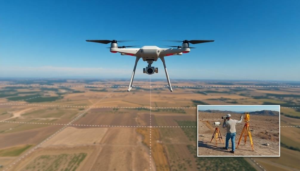
With the advent of drone technology, land surveying has undergone a revolutionary transformation regarding precision and accuracy. You'll find that drones equipped with high-resolution cameras and advanced sensors can capture detailed topographic data with unprecedented precision.
These aerial platforms allow you to survey large areas quickly, reducing the margin of error associated with traditional ground-based methods. Drones can easily access hard-to-reach or dangerous locations, providing extensive coverage that was previously challenging or impossible.
They're capable of collecting millions of data points in a single flight, creating highly accurate 3D models and orthomosaic maps. You'll appreciate the centimeter-level accuracy achieved through photogrammetry and LiDAR technology integrated into modern drones.
Moreover, drones minimize human error by automating data collection processes. You can program flight paths and data capture parameters, ensuring consistent results across multiple surveys.
This standardization improves the reliability of your measurements and allows for more accurate comparisons over time. With real-time data processing capabilities, you can quickly identify discrepancies and make on-the-spot adjustments, further enhancing the overall accuracy of your land surveys.
Time and Cost Efficiency
In relation to time and cost efficiency, drone surveying outperforms traditional methods by a wide margin.
You'll find that drones can cover large areas quickly, reducing the time spent on-site and minimizing disruptions to ongoing operations. They're particularly useful for surveying hard-to-reach or dangerous locations, eliminating the need for expensive equipment rentals or specialized safety gear.
The cost savings are considerable when you consider the reduced labor hours and equipment requirements.
You'll need fewer personnel in the field, and you won't have to invest in as many expensive surveying tools. Additionally, drones can collect data more frequently, allowing for better project monitoring and timely decision-making.
Here are three key ways drones improve time and cost efficiency in land surveying:
- Rapid data collection: Drones can survey large areas in hours instead of days or weeks
- Reduced manpower: Fewer surveyors are needed on-site, cutting labor costs considerably
- Frequent updates: Easy repeat surveys enable better project tracking and faster problem resolution
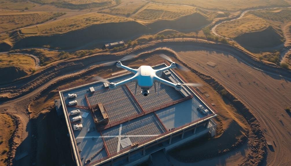
Accessibility in Challenging Terrains

Drones' ability to access challenging terrains sets them apart in land surveying. You'll find that these unmanned aerial vehicles can easily navigate areas that are difficult, dangerous, or impossible for humans to reach. Steep slopes, dense forests, and unstable grounds are no longer obstacles when you're using drones for your land survey projects.
With drones, you can capture high-resolution imagery and precise data from vantage points that were previously unattainable. They'll allow you to survey hazardous sites, such as contaminated areas or unstable cliffs, without putting surveyors at risk.
You'll also be able to collect data from remote locations that would otherwise require extensive travel and logistics. Drones can fly over water bodies, providing accurate shoreline mapping and bathymetric surveys.
They're particularly useful in mountainous regions, where traditional survey methods are often impractical. You'll find that drones can quickly assess terrain changes after natural disasters, helping with disaster response and recovery efforts.
3D Mapping Capabilities

The 3D mapping capabilities of drones have revolutionized land surveying. You'll find that these aerial devices can capture intricate topographical details with unprecedented accuracy and speed. By using photogrammetry and LiDAR technology, drones create highly detailed 3D models of landscapes, structures, and terrain features.
You'll appreciate how drone-based 3D mapping offers several advantages over traditional methods:
- Increased data density: Drones collect millions of data points, providing a more thorough view of the surveyed area.
- Faster turnaround times: You'll receive survey results in days rather than weeks, accelerating project timelines.
- Cost-effective solutions: You'll save on labor and equipment costs associated with ground-based surveys.
When you use drone-generated 3D maps, you'll be able to perform virtual walkthroughs, calculate volumes, and analyze slopes with ease. These capabilities are particularly useful in construction, mining, and urban planning.
You'll also find that 3D maps help in disaster response, allowing quick assessment of damage and planning for recovery efforts. With drones, you're not just getting a flat representation of the land; you're gaining a rich, interactive model that enhances decision-making and project planning.
Real-Time Data Collection
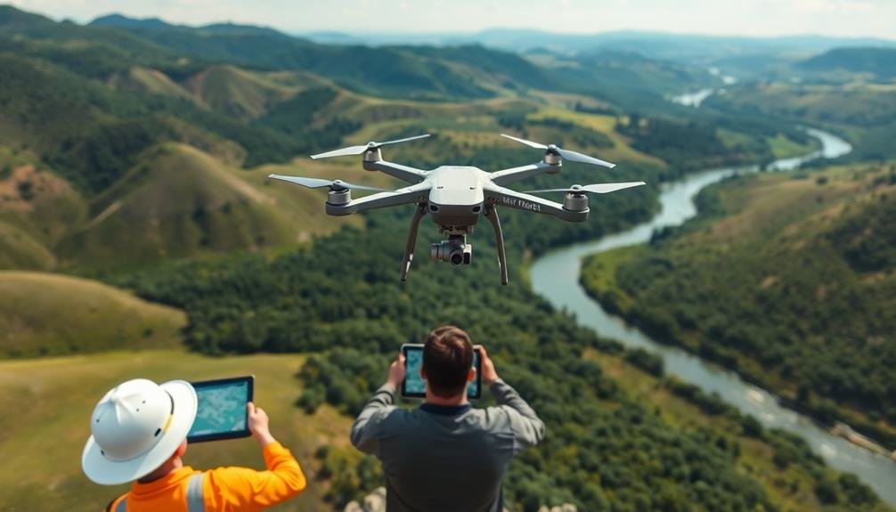
Real-time data collection marks a significant leap forward in land surveying efficiency. With drone technology, you're no longer limited to periodic, static data updates. Instead, you can gather information as it happens, allowing for immediate analysis and decision-making.
As you operate a drone for land surveying, you'll receive a continuous stream of data. This real-time feedback enables you to identify issues or areas of interest on the spot, adjusting your survey plan accordingly. You can quickly react to changing conditions, such as unexpected terrain features or environmental factors that might affect your survey results.
The real-time capabilities of drones also enhance safety in challenging environments. You can monitor hazardous areas without putting surveyors at risk, making informed decisions about where to deploy ground teams.
Additionally, you'll benefit from the ability to verify data quality instantly, reducing the need for costly and time-consuming resurveys.
Frequently Asked Questions
What Regulations Govern the Use of Drones for Land Surveying?
You'll need to comply with FAA regulations, including obtaining a Part 107 remote pilot license, registering your drone, and following airspace restrictions. Local laws may also apply, so check your area's specific requirements before surveying.
How Does Weather Affect Drone Surveying Operations?
Weather greatly impacts your drone surveying operations. You'll face challenges with wind, rain, and extreme temperatures. Wind can disrupt flight, rain affects sensors, and temperature extremes may reduce battery life or cause equipment malfunctions. Always check forecasts before flying.
What Training Is Required to Operate Drones for Land Surveying?
You'll need a drone pilot license and specialized training in surveying techniques. You should also learn about drone regulations, flight planning, data collection, and processing software. Hands-on practice and ongoing education are essential for success.
Can Drones Replace Traditional Surveying Methods Entirely?
While drones can't entirely replace traditional surveying, they've revolutionized the field. You'll find they're excellent for many tasks, but some situations still require on-the-ground methods. It's about using the right tool for each job.
How Do Drones Integrate With Existing Land Surveying Software and Tools?
You'll find drones seamlessly integrate with existing surveying software. They're compatible with CAD programs, GIS platforms, and photogrammetry tools. You can easily import drone-collected data into these systems for analysis and mapping purposes.
In Summary
You've seen how drones are revolutionizing land surveying. They're boosting precision, slashing costs, and accessing tough terrains with ease. You can now create stunning 3D maps and collect real-time data like never before. As technology advances, you'll find drones becoming an indispensable tool in your surveying toolkit. Embrace this aerial revolution to stay competitive and deliver superior results to your clients. The future of land surveying is airborne.
As educators and advocates for responsible drone use, we’re committed to sharing our knowledge and expertise with aspiring aerial photographers.


Leave a Reply