
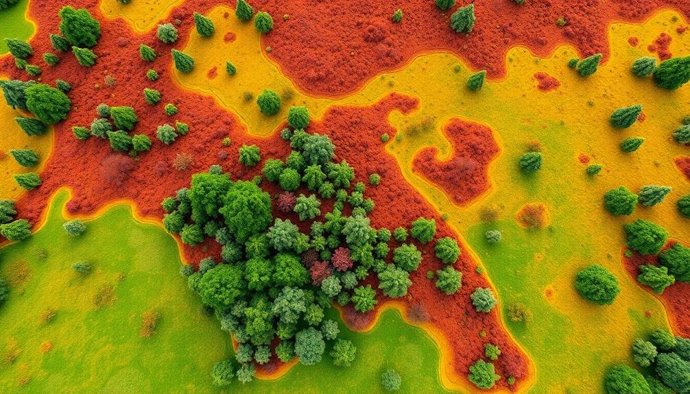
Sky-high visualization techniques are revolutionizing landscape design, offering you unprecedented perspectives and precision in your projects. Drones capture high-resolution aerial imagery, creating detailed 3D models and topographical maps. You'll gain efficient site assessments, real-time data capture, and immersive client presentations. Photogrammetry and LiDAR technologies enable accurate terrain modeling, while thermal imaging analyzes microclimates for optimized designs. By integrating drone data with CAD and VR tools, you'll enhance your design capabilities and streamline workflows. These advanced techniques also allow you to visualize environmental impacts and create compelling narratives. As you explore these sky-high methods, you'll reveal new dimensions in landscape architecture.
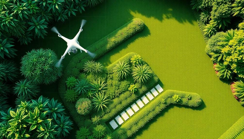
Drone Technology in Landscape Architecture
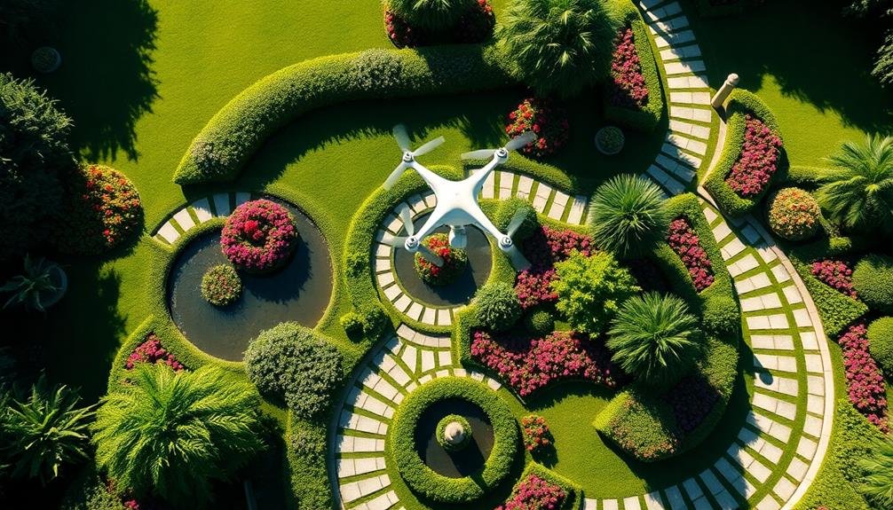
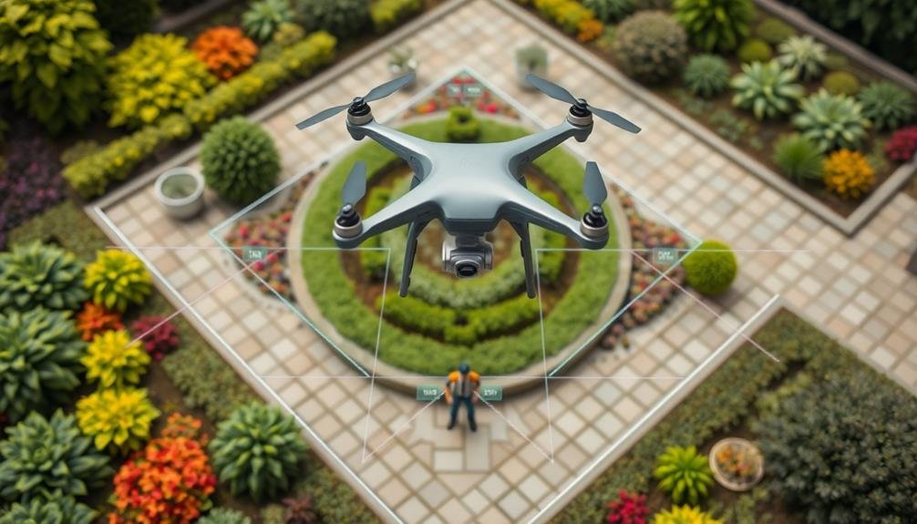
Drones have revolutionized the field of landscape architecture. These unmanned aerial vehicles offer you a bird's-eye view of project sites, providing unparalleled perspectives for design and planning.
You'll find that drones equipped with high-resolution cameras can capture detailed imagery and video footage, allowing for thorough site analysis and documentation.
By utilizing drone technology, you can create accurate 3D models and topographical maps of landscapes. This data proves invaluable for precise measurements, evaluating terrain challenges, and visualizing potential design interventions.
You'll also appreciate the time and cost savings compared to traditional surveying methods.
Drones enable you to monitor project progress efficiently, track changes over time, and identify potential issues before they escalate. You can use them to showcase completed projects to clients, offering immersive virtual tours and stunning aerial photography.
When incorporating drones into your workflow, consider factors like local regulations, weather conditions, and flight planning. You'll need to obtain necessary certifications and permissions to operate drones legally.
With proper training and adherence to safety protocols, you'll reveal the full potential of drone technology in landscape architecture.
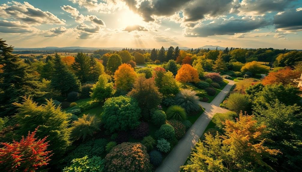
Aerial Perspective for Design Concepts
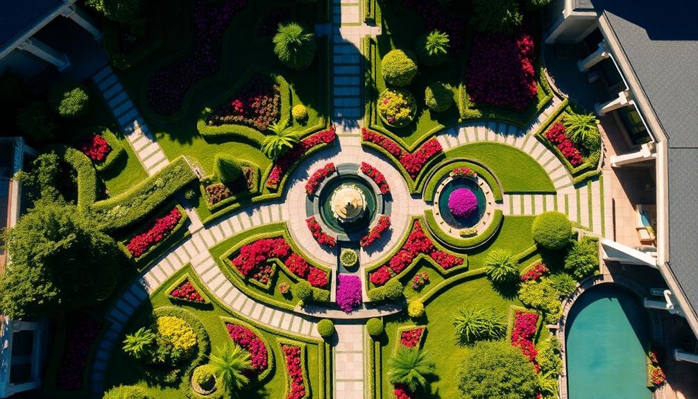
Building on the capabilities of drone technology, aerial perspective offers a transformative approach to landscape design concepts. You'll find that this bird's-eye view provides a unique understanding of spatial relationships and overall design cohesion.
By utilizing aerial imagery, you can easily identify existing site features, topography, and surrounding context that might be missed from ground level.
When you're developing design concepts, aerial perspectives allow you to visualize how different elements interact on a larger scale. You'll be able to experiment with various layout options, circulation patterns, and focal points more effectively.
This elevated viewpoint also helps you communicate your ideas to clients and stakeholders more clearly, as they can better grasp the overall vision and spatial organization.
To incorporate aerial perspectives into your design process, you can use a combination of drone photography, 3D modeling software, and digital rendering techniques.
Start by capturing high-resolution aerial images of the site, then overlay your design concepts using digital tools. This approach enables you to create realistic visualizations that showcase how your proposed landscape will integrate with the existing environment, ultimately enhancing your design's impact and effectiveness.
3D Mapping With UAVS

You'll find UAV-based 3D mapping revolutionizes landscape design visualization through precision terrain modeling.
With efficient site assessment capabilities, you can quickly gather accurate topographical data for your projects.
Real-time data capture allows you to update your designs on the fly, ensuring your visualizations always reflect the most current site conditions.
Precision Terrain Modeling
Three cutting-edge technologies have revolutionized precision terrain modeling: UAVs, photogrammetry, and LiDAR.
These tools allow you to create highly accurate 3D representations of landscapes, enabling better design decisions and more effective project planning.
UAVs, or drones, equipped with high-resolution cameras capture detailed aerial imagery of the terrain.
You'll fly these devices in a predetermined pattern, ensuring complete coverage of the area. The collected data forms the basis for further analysis and modeling.
Photogrammetry software processes these images, stitching them together to create an all-encompassing 3D model.
You'll use this technique to generate detailed digital elevation models (DEMs) and orthomosaics, providing a bird's-eye view of the landscape.
LiDAR technology takes precision to the next level.
By emitting laser pulses and measuring their return times, you'll create incredibly accurate point clouds representing the terrain's surface.
This method excels in capturing fine details, even in areas with dense vegetation.
Efficient Site Assessment
The advent of UAV technology has transformed site assessment processes in landscape design. You can now gather thorough site data quickly and accurately using drones equipped with high-resolution cameras and LiDAR sensors.
These unmanned aerial vehicles allow you to capture detailed images and 3D point clouds of your project area, providing a wealth of information for your design process.
With UAV-based site assessments, you'll save time and resources compared to traditional ground-based surveying methods. You can easily access hard-to-reach areas and cover large spaces in a fraction of the time.
The data collected by drones enables you to create precise digital terrain models, analyze topography, and identify existing vegetation and structures.
You'll also benefit from the ability to conduct repeat surveys throughout your project's lifecycle. This allows you to monitor progress, track changes, and make informed decisions based on up-to-date information.
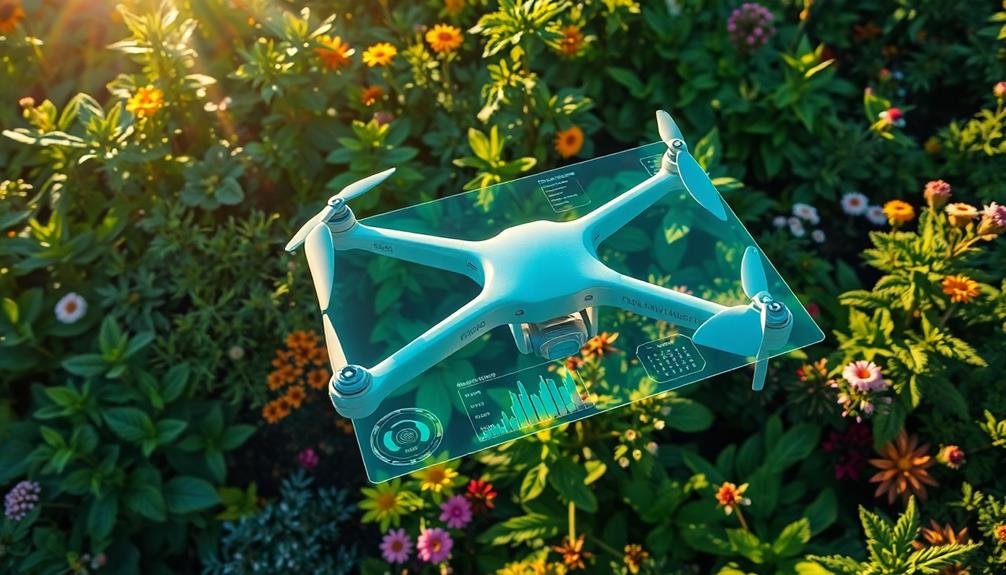
Real-Time Data Capture
As drone technology continues to evolve, real-time data capture has become a game-changer in landscape design visualization. You can now use Unmanned Aerial Vehicles (UAVs) equipped with advanced sensors and cameras to collect detailed 3D mapping data of your project site in real-time.
These drones can quickly survey large areas, capturing high-resolution images and topographical information with unprecedented accuracy. You'll receive instant access to this data, allowing you to make informed decisions on-site and adjust your design plans immediately.
By utilizing LiDAR sensors, you can create precise 3D point clouds of the landscape, revealing intricate details of terrain, vegetation, and existing structures. This technology enables you to identify potential challenges and opportunities that might be missed during traditional site assessments.
You can also integrate thermal imaging cameras to analyze microclimates and identify areas of heat retention or loss. This information helps you optimize your design for energy efficiency and comfort.
With real-time data capture, you'll streamline your workflow, reduce site visits, and enhance the accuracy of your designs. It's an invaluable tool for creating stunning, functional landscapes that exceed client expectations.
Photogrammetry in Landscape Visualization

Photogrammetry has revolutionized landscape visualization by allowing you to capture aerial site data with unprecedented detail.
You'll use specialized cameras and drones to collect high-resolution images from multiple angles, covering vast areas efficiently.
These images are then processed to create accurate 3D terrain models, providing a solid foundation for your landscape design projects.
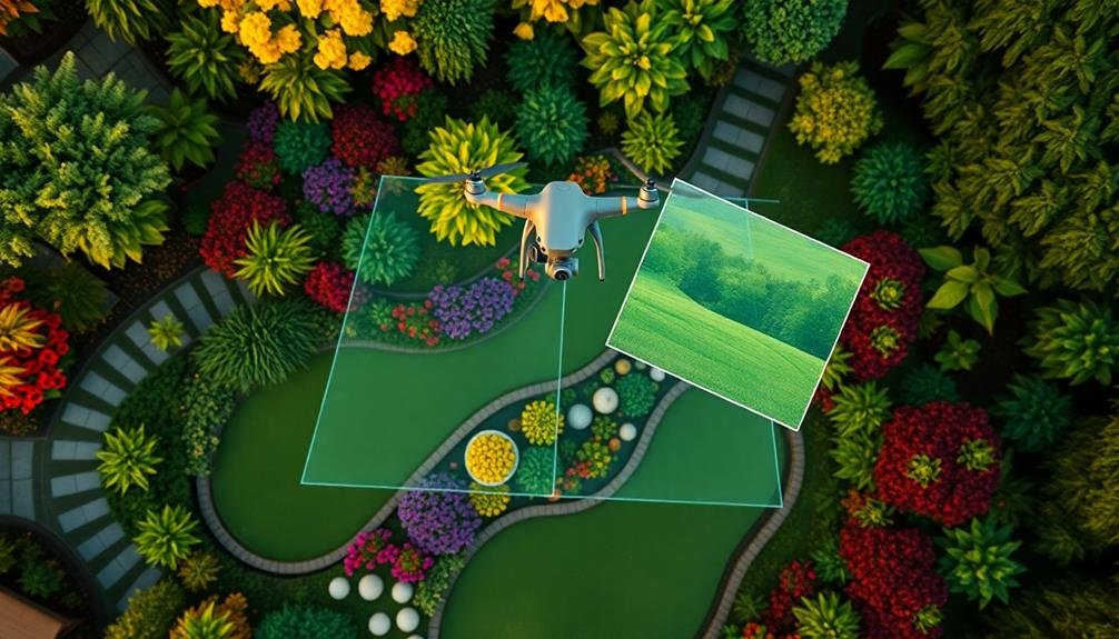
Capturing Aerial Site Data
Capturing aerial site data through photogrammetry has revolutionized landscape visualization techniques. You'll find that drones equipped with high-resolution cameras now allow you to collect detailed aerial imagery of large areas quickly and efficiently.
This data can then be processed using photogrammetry software to create accurate 3D models of the landscape.
To make the most of aerial site data capture, consider these key points:
- Plan your flight path carefully to guarantee complete coverage of the site
- Use ideal weather conditions for clear, consistent imagery
- Maintain a consistent altitude and overlap between images
- Process data promptly to identify any gaps or issues that may require a re-flight
3D Terrain Model Creation
In light of the aerial data captured, creating a 3D terrain model is the next vital step in landscape visualization. You'll use photogrammetry software to process the collected imagery and generate a detailed digital terrain model. This software analyzes the overlapping images, identifying common points to reconstruct the site's topography.
As you work, you'll notice the software stitching together the images and creating a point cloud. This cloud represents the terrain's surface and features. You'll then convert this point cloud into a mesh, forming the basis of your 3D model. It's essential to clean up any anomalies or errors in the mesh to guarantee accuracy.
Next, you'll apply textures to the model using the high-resolution photos from your aerial survey. This step brings your terrain to life, adding realistic colors and details.
You can further enhance the model by incorporating additional data layers, such as vegetation maps or soil information.
Once complete, your 3D terrain model will serve as a powerful tool for landscape design visualization, allowing you to accurately represent the site's topography and existing features in your designs.
Real-Time Site Analysis From Above
As drone technology advances, real-time site analysis from above has become an invaluable tool for landscape designers. You'll find that aerial perspectives offer unique insights into a site's topography, vegetation patterns, and existing structures.
By utilizing drones equipped with high-resolution cameras and sensors, you can capture detailed imagery and data in a fraction of the time it would take using traditional methods.
To leverage this technology effectively, consider these key benefits:
- Rapid site assessment: Quickly survey large areas and identify potential challenges or opportunities.
- Accurate measurements: Obtain precise dimensions and elevations for more informed design decisions.
- Environmental analysis: Assess sunlight exposure, drainage patterns, and microclimates from above.
- Client communication: Enhance presentations with dynamic aerial footage and 3D visualizations.
You'll discover that real-time site analysis from above streamlines your design process and improves overall project outcomes.
Enhancing Client Presentations With Drones
Drone technology doesn't just revolutionize site analysis; it's also a game-changer for client presentations. By incorporating drone footage into your presentations, you'll captivate your audience with stunning aerial views of the project site. These dynamic visuals offer a unique perspective that traditional 2D plans or ground-level photos can't match.
You can use drones to create immersive fly-through videos, showcasing the entire landscape and highlighting key features. This birds-eye view helps clients better understand the scale and context of your design proposals. You'll also be able to demonstrate how your plans integrate with existing structures and natural elements.
During presentations, you can overlay 3D renderings onto drone footage, allowing clients to visualize proposed changes in real-time. This technique is particularly effective for before-and-after comparisons, helping clients grasp the transformative impact of your designs.
Remember to obtain necessary permits and follow local regulations when using drones. Consider investing in high-quality equipment and editing software to guarantee professional-grade results.
With drone technology, you'll elevate your presentations, impress clients, and set yourself apart from competitors in the landscape design industry.
Vegetation Mapping and Assessment
Landscape designers' ability to accurately map and assess vegetation has been revolutionized by drone technology. You can now capture high-resolution aerial imagery and create detailed 3D models of existing plant life on a site. This allows for precise measurements, species identification, and health assessments of trees, shrubs, and ground cover.
By incorporating drone-based vegetation mapping into your workflow, you'll gain several advantages:
- Time efficiency: Survey large areas quickly without extensive on-foot exploration.
- Accuracy: Obtain precise data on plant locations, sizes, and densities.
- Seasonal tracking: Monitor vegetation changes throughout the year.
- Client communication: Present clear, visual representations of existing conditions.
You'll find that drones equipped with multispectral sensors can detect plant stress, diseases, and nutrient deficiencies before they're visible to the naked eye. This enables you to develop targeted maintenance plans and make informed decisions about plant removal or replacement.
Additionally, you can use drone-gathered data to create detailed inventories of existing vegetation, helping you comply with local regulations and preserve valuable specimens during the design process.
Ultimately, drone-based vegetation mapping enhances your ability to create sustainable, site-specific landscape designs that harmonize with existing ecosystems.
Topographical Surveys Using Drones

Surveyors have embraced drone technology for conducting topographical surveys, revolutionizing the way landscape designers gather site data. You'll find that drones equipped with high-resolution cameras and LiDAR sensors can capture detailed terrain information quickly and efficiently.
These unmanned aerial vehicles can cover large areas in a fraction of the time it takes for traditional ground-based surveys.
When you're using drones for topographical surveys, you'll benefit from their ability to access hard-to-reach or dangerous areas. They can capture data from steep slopes, dense vegetation, or waterlogged sites without risking human safety.
The aerial perspective also provides a thorough view of the landscape, allowing you to identify features that might be missed from ground level.
The data collected by drones is often more accurate and detailed than traditional methods. You'll receive point cloud data, digital elevation models, and orthomosaic images that can be easily integrated into your design software.
This wealth of information enables you to create more precise 3D models and make better-informed design decisions. Additionally, drone surveys are cost-effective, reducing the time and labor required for site analysis and improving your project's overall efficiency.
Time-Lapse Aerial Photography
Beyond static aerial imagery, time-lapse aerial photography offers a dynamic perspective on landscape evolution. You'll capture the changing seasons, project progress, and environmental shifts over time.
By strategically positioning drones or fixed cameras, you can document the transformation of your landscape designs from concept to reality.
To effectively utilize time-lapse aerial photography:
- Plan your shot intervals carefully, considering the pace of change in your project.
- Use consistent flight paths and camera settings for seamless changes.
- Stabilize your footage in post-production for smooth playback.
- Combine multiple angles to create a thorough view of the site's evolution.
Time-lapse aerial photography isn't just for documentation; it's a powerful tool for client communication and marketing.
You'll showcase the full scope of your work, from site preparation to final touches, in a compelling visual narrative. This technique also helps you identify potential issues early, allowing for timely adjustments to your design.
Integrating Drone Data With CAD
Building on the capabilities of aerial photography, integrating drone data with CAD software takes landscape visualization to new heights. You'll find that combining these technologies allows for more accurate and detailed site analysis, design planning, and client presentations.
To integrate drone data with CAD, you'll first need to capture high-resolution imagery and topographical data using drone-mounted sensors. Once collected, you can import this data into your preferred CAD software. Many modern CAD programs now offer built-in tools for processing and aligning drone-captured point clouds and orthomosaic images.
Here's how integrating drone data with CAD can transform your landscape design process:
| Benefit | Traditional Methods | Drone + CAD Integration |
|---|---|---|
| Accuracy | Limited | Highly precise |
| Time efficiency | Slow | Rapid |
| Cost-effectiveness | Expensive | Affordable |
| Client engagement | Static | Interactive |
Thermal Imaging for Landscape Analysis

Thermal imaging technology offers landscape designers a powerful tool for analyzing site conditions beyond what's visible to the naked eye. By capturing infrared radiation, these cameras create heat maps that reveal essential information about your site's thermal characteristics.
You'll gain insights into soil moisture levels, plant health, and temperature variations across the landscape.
When you incorporate thermal imaging into your design process, you'll be able to:
- Identify areas of heat retention or loss
- Detect underground water sources or leaks
- Assess the effectiveness of irrigation systems
- Monitor plant stress and disease progression
Armed with this data, you can make informed decisions about plant selection, irrigation placement, and microclimatic design strategies.
You'll be able to create more sustainable and resilient landscapes by addressing thermal issues proactively. For example, you might use thermal imaging to locate cool spots for shade-loving plants or to optimize the placement of water features for maximum cooling effect.
Virtual Reality and Drone Footage
Virtual reality headsets and drone-captured footage have revolutionized landscape design visualization. By donning a VR headset, you're instantly transported into a fully immersive 3D representation of your proposed landscape. You can walk through virtual gardens, assess sight lines, and experience spatial relationships firsthand. This technology allows you to make informed decisions about plant placement, hardscape elements, and overall design flow before breaking ground.
Drones offer a unique perspective that was previously difficult to achieve. They provide high-resolution aerial imagery and video, giving you a bird's-eye view of the entire property. You'll spot terrain features, existing vegetation patterns, and potential problem areas that mightn't be visible from the ground.
Drone footage can be integrated into 3D models, creating an extensive visualization of your landscape design.
Combining VR and drone technology enhances your ability to communicate design concepts to clients. You can showcase before-and-after comparisons, demonstrate seasonal changes, and illustrate how the landscape will mature over time.
These tools not only improve the design process but also help clients better understand and appreciate your vision, leading to smoother project approvals and increased satisfaction.
Environmental Impact Visualization
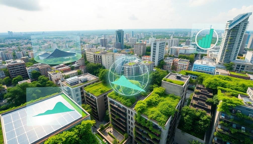
Landscape designers are increasingly employing advanced tools to visualize the environmental impact of their projects. These cutting-edge techniques allow you to see how your design choices affect the surrounding ecosystem, from water runoff to carbon sequestration.
By leveraging sophisticated software and data analysis, you can make informed decisions that balance aesthetic appeal with ecological responsibility.
Environmental impact visualization tools offer you:
- Real-time simulations of stormwater management
- Predictions of habitat creation and biodiversity enhancement
- Calculations of carbon footprint reduction through plant selection
- Modeling of microclimate effects on energy efficiency
You'll find these tools invaluable for communicating complex environmental concepts to clients and stakeholders. They transform abstract data into compelling visual narratives, showcasing the long-term benefits of sustainable design choices.
You can demonstrate how native plantings support local wildlife, illustrate the effectiveness of green infrastructure in mitigating urban heat islands, and quantify the carbon sequestration potential of proposed landscapes.
Drone Regulations for Landscape Architects
As you explore advanced visualization techniques, drones have become a game-changing tool for landscape architects. However, it's essential to understand and comply with drone regulations to guarantee legal and safe operations. You'll need to familiarize yourself with the Federal Aviation Administration (FAA) rules, which govern drone use in the United States.
To operate a drone for commercial purposes, you must obtain a Remote Pilot Certificate. This involves passing an aeronautical knowledge test and registering your drone with the FAA. You're required to follow specific operational guidelines, including flying below 400 feet, maintaining visual line of sight, and avoiding restricted airspace.
Here's a quick reference guide for drone regulations:
| Regulation | Commercial Use | Recreational Use |
|---|---|---|
| Pilot Certificate | Required | Not Required |
| Drone Registration | Required | Required |
| Max Altitude | 400 feet | 400 feet |
| Visual Line of Sight | Required | Required |
| Airspace Restrictions | Apply | Apply |
Frequently Asked Questions
How Does Weather Affect Drone-Based Landscape Visualization Techniques?
Weather greatly impacts your drone-based landscape visualization. You'll face challenges with wind, rain, and extreme temperatures. They can affect flight stability, image quality, and equipment functionality. You'll need to plan carefully and choose ideal conditions for successful captures.
What Are the Cost Implications of Implementing Sky-High Visualization in Landscape Design?
You'll find sky-high visualization costs vary. Initial investment in drones, software, and training can be significant. However, you'll save time and resources long-term, impressing clients with accurate, immersive designs that reduce costly revisions.
How Can Drone-Captured Data Be Secured and Protected From Unauthorized Access?
You'll need to secure drone-captured data through encryption, secure storage, and access controls. Use firewalls, VPNs, and multi-factor authentication. Regularly update software and train staff on data protection protocols. Don't share sensitive information unnecessarily.
Are There Any Health or Safety Risks Associated With Frequent Drone Use?
You should be aware of potential risks with frequent drone use. They include eye strain, neck pain, and repetitive stress injuries. There's also a small risk of accidents or collisions. Always follow safety guidelines and take regular breaks.
Can Sky-High Visualization Techniques Be Applied to Indoor Landscape Projects?
You can definitely apply sky-high visualization techniques to indoor landscapes. You'll use 3D modeling, virtual reality, and aerial-style photography to showcase interior spaces. These methods help you visualize and plan complex indoor garden designs more effectively.
In Summary
You've seen how drone technology is revolutionizing landscape architecture. By embracing these sky-high visualization techniques, you'll gain unparalleled insights into your projects. From aerial perspectives to 3D mapping, you're now equipped to analyze, design, and present landscapes like never before. Don't forget to stay updated on drone regulations. As you soar to new heights in your designs, you'll create more impactful, environmentally conscious spaces that truly elevate the field of landscape architecture.
As educators and advocates for responsible drone use, we’re committed to sharing our knowledge and expertise with aspiring aerial photographers.


Leave a Reply