
Rapid airborne surveys, powered by drone technology, are revolutionizing emergency response operations. You'll find these surveys provide swift aerial assessments of disaster areas, equipped with high-tech sensors for real-time data gathering. They're enhancing decision-making by offering unique perspectives and identifying hidden hazards. You can expect cost-effective disaster area assessments, covering vast regions quickly with fewer personnel and resources. While challenges like weather conditions and regulatory hurdles exist, future developments promise even greater capabilities. As emergency response evolves, you'll discover how these airborne innovations are reshaping the landscape of disaster management and saving lives.
Drone Technology in Emergency Response
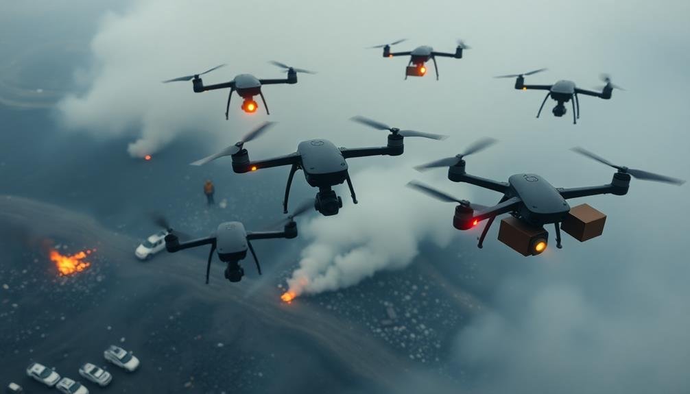
How has drone technology revolutionized emergency response? Drones have become indispensable tools for first responders, offering swift and efficient aerial surveys of disaster-stricken areas.
You'll find these unmanned aerial vehicles (UAVs) equipped with high-resolution cameras, thermal imaging sensors, and even chemical detectors, allowing for thorough situational awareness.
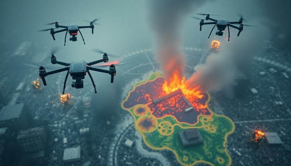
In wildfire scenarios, drones can quickly map fire perimeters and detect hotspots, helping firefighters strategize more effectively.
During floods, they're used to assess water levels, identify stranded individuals, and guide rescue operations.
In search and rescue missions, thermal cameras on drones can locate missing persons in challenging terrains or low-visibility conditions.
Drones also excel in hazardous material incidents, enabling responders to assess dangers without risking personnel.
They can deliver vital supplies to isolated areas and provide real-time video feeds to incident commanders, enhancing decision-making processes.
You'll notice that drone technology has markedly reduced response times, improved resource allocation, and increased the safety of emergency personnel.
As regulations evolve and technology advances, you can expect drones to play an even more essential role in future emergency response efforts.
Real-Time Data Gathering Capabilities
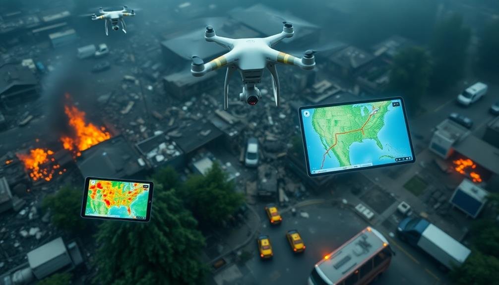
Building on the drone technology's impact, real-time data gathering capabilities have transformed emergency response operations. You'll find that these advancements allow for immediate situational awareness, enabling responders to make informed decisions quickly.
Modern drones equipped with various sensors and cameras can transmit live data to command centers, providing a thorough view of the emergency scene.
You'll benefit from real-time data in several ways:
- Accurate assessment of the disaster's scope and severity
- Identification of potential hazards and safety risks
- Efficient allocation of resources based on up-to-date information
- Improved coordination between ground teams and aerial support
These capabilities enhance your ability to prioritize rescue efforts and allocate resources effectively.
You can now monitor changes in the environment, track the movement of people or vehicles, and assess the effectiveness of your response strategies in real-time. This immediate feedback loop allows you to adapt your approach swiftly, potentially saving more lives and minimizing damage.
As technology continues to evolve, you'll see even more sophisticated real-time data gathering tools integrated into emergency response protocols, further improving your ability to manage crises efficiently.
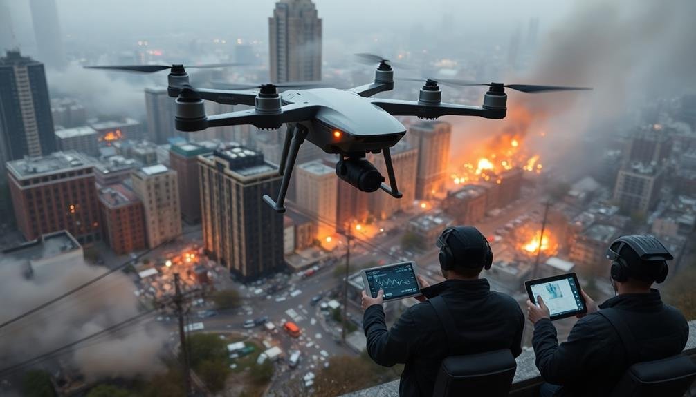
Improved Decision-Making for Responders
As real-time data flows in from rapid airborne surveys, emergency responders can make more informed and timely decisions.
You'll find that this improved decision-making process greatly enhances the overall effectiveness of emergency operations.
With access to up-to-date aerial imagery and sensor data, you can quickly assess the extent of damage, identify critical infrastructure at risk, and prioritize rescue efforts.
You're able to spot potential hazards that mightn't be visible from the ground, such as unstable structures or spreading wildfires.
You'll also benefit from the ability to track the movement of people, vehicles, and resources in real-time.
This allows you to optimize resource allocation and adjust your strategy on the fly. For instance, you can redirect teams to areas of greatest need or identify safe evacuation routes.
Moreover, you can use the data to create detailed maps and 3D models of the affected area.
These visual aids help you communicate more effectively with your team and other agencies involved in the response effort.
Cost-Effective Disaster Area Assessment

Compared to traditional ground-based assessments, rapid airborne surveys offer a cost-effective solution for disaster area evaluation. You'll find that these surveys can cover vast areas quickly, reducing the need for extensive manpower and time-consuming ground operations.
By utilizing drones or light aircraft equipped with advanced imaging technology, you're able to gather thorough data at a fraction of the cost of traditional methods.
The cost-effectiveness of rapid airborne surveys stems from several factors:
- Reduced personnel requirements
- Faster data collection and analysis
- Lower fuel and equipment costs
- Minimized risk to human life in dangerous areas
You'll appreciate how these surveys can provide a rapid, accurate assessment of damage extent, helping you allocate resources more efficiently.
By identifying critical areas that require immediate attention, you're able to prioritize response efforts and optimize your budget. Additionally, the high-resolution imagery and data collected can be used for long-term planning and recovery efforts, further maximizing the value of your investment.
With rapid airborne surveys, you're not just saving money; you're also improving the overall effectiveness of your disaster response operations.
Challenges and Future Developments
Despite their numerous benefits, rapid airborne surveys face several challenges that you'll need to address for ideal implementation. Weather conditions can severely impact flight operations and data quality, limiting your ability to conduct surveys during storms or heavy cloud cover.
You'll also encounter regulatory hurdles, as airspace restrictions and drone operation laws vary by location and can hinder rapid deployment. Data processing and interpretation remain time-consuming, potentially delaying significant decision-making. You'll need to develop faster algorithms and automated analysis tools to streamline this process.
Additionally, you must address privacy concerns and establish clear guidelines for data collection and use. Future developments in rapid airborne surveys will likely focus on overcoming these challenges. You can expect advancements in all-weather sensors and platforms, allowing for operations in diverse conditions.
Artificial intelligence and machine learning will play an essential role in real-time data analysis and interpretation. Improved communication systems will enable seamless data transmission from aircraft to ground teams. As regulations evolve, you'll see more flexible frameworks that balance safety with the need for rapid emergency response.
These developments will enhance the effectiveness and reliability of rapid airborne surveys in emergency situations.
Frequently Asked Questions
How Do Rapid Airborne Surveys Impact Wildlife During Emergency Situations?
You'll find that rapid airborne surveys can disturb wildlife during emergencies. They may cause animals to flee or experience stress. However, these surveys are often necessary to assess damage and guide rescue efforts quickly.
What Training Is Required for Emergency Responders to Interpret Airborne Survey Data?
You'll need specialized training in remote sensing, GIS, and data interpretation. You must learn to read aerial imagery, analyze spectral data, and use mapping software. Courses in emergency management and decision-making are also essential for effective response.
Are There International Regulations Governing the Use of Airborne Surveys in Emergencies?
You'll find that international regulations for airborne surveys in emergencies aren't universal. While some countries have specific guidelines, others don't. It's best to check with local authorities and international organizations for applicable rules in your area.
How Do Weather Conditions Affect the Accuracy of Rapid Airborne Surveys?
Weather conditions greatly impact your survey accuracy. You'll face challenges with visibility in fog or rain. Wind can affect your flight stability. Cloud cover may obstruct ground views. Temperature changes can influence sensor performance. Always consider these factors.
Can Rapid Airborne Surveys Be Integrated With Existing Emergency Management Software Systems?
Yes, you can integrate rapid airborne surveys with existing emergency management software. They'll enhance your system's capabilities by providing real-time data, improving situational awareness, and enabling faster decision-making. You'll need compatible interfaces and data formats for seamless integration.
In Summary
You've seen how rapid airborne surveys are transforming emergency response. With drones providing real-time data and cost-effective assessments, you're now better equipped to make vital decisions in disaster situations. While challenges remain, you can expect even more advanced capabilities in the future. As technology evolves, you'll witness further improvements in response times and effectiveness. Embrace these innovations – they're revolutionizing how you'll tackle emergencies and save lives.
As educators and advocates for responsible drone use, we’re committed to sharing our knowledge and expertise with aspiring aerial photographers.


Leave a Reply