
To map industrial sites with drones, follow these five steps: First, plan your flight by identifying objectives and checking regulations. Next, choose appropriate mapping software that fits your needs and budget. Then, collect aerial imagery data by flying your drone at the planned altitude and speed. After that, process and stitch the images using photogrammetry software to create a seamless map. Finally, analyze and interpret the results, extracting valuable information from your newly created orthomosaic map and 3D model. By mastering these steps, you'll reveal the full potential of drone mapping for industrial sites and gain insights that can transform your operations.
Key Takeaways
- Plan your drone flight by identifying objectives, determining altitude, and checking regulations.
- Choose appropriate mapping software that processes drone data for accurate industrial site mapping.
- Collect aerial imagery data by flying the drone over the site with proper overlap and image quality.
- Process and stitch images using photogrammetry software to create orthomosaic maps and 3D models.
- Analyze and interpret results to extract valuable information about the industrial site's layout and features.
Plan Your Drone Flight
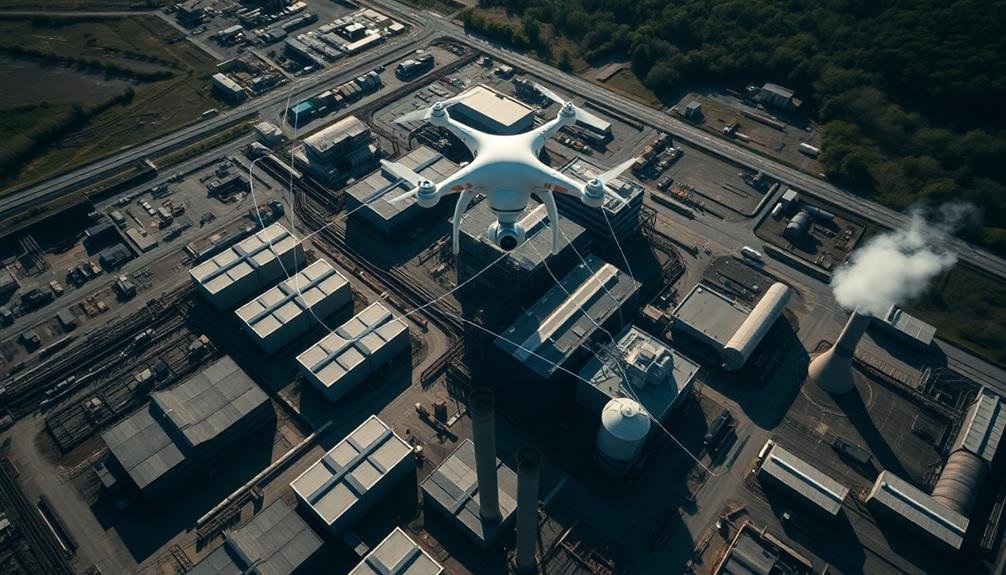
Your drone flight's success hinges on thorough planning. Begin by identifying your mapping objectives and the specific areas you need to cover. Consider the site's size, terrain, and any potential obstacles or restricted zones.
Next, determine the ideal flight altitude and speed to capture the required level of detail while maximizing efficiency. Choose the right time of day for your flight, taking into account lighting conditions and potential shadows that could affect image quality.
Check weather forecasts to guarantee favorable flying conditions, avoiding strong winds or precipitation. Familiarize yourself with local regulations and obtain any necessary permits or authorizations for drone operations in the industrial area.
Plan your flight path using mapping software, creating a grid pattern that guarantees complete coverage with sufficient overlap between images. Set up ground control points (GCPs) across the site to improve the accuracy of your final map.
Prepare your equipment, including fully charged batteries, memory cards, and any additional sensors or payloads you'll need. Finally, conduct a pre-flight checklist to verify that your drone and camera settings are refined for the mapping mission.
Choose Appropriate Mapping Software

Selecting the right mapping software is essential for successful drone-based industrial site mapping. You'll need to choose a program that can process the data collected by your drone and create accurate, detailed maps of your industrial site.
Consider factors like the size of your site, the level of detail required, and your budget when making your decision.
Look for software that offers features such as:
- Orthomosaic map creation
- 3D modeling capabilities
- Volumetric calculations
- Cloud-based processing options
Many popular mapping software options are available, including Pix4D, DroneDeploy, and Agisoft MetaShape. Each has its strengths and weaknesses, so research thoroughly to find the best fit for your needs.
Some programs offer free trials, which can be helpful in making your decision.
Once you've chosen your software, familiarize yourself with its interface and features. Many providers offer tutorials and support resources to help you get started.
Remember that the quality of your final maps will depend not only on your drone's capabilities but also on how effectively you use the mapping software.
Take the time to learn the ins and outs of your chosen program to guarantee the best possible results.
Collect Aerial Imagery Data
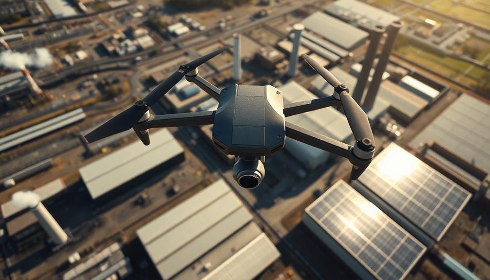
The data collection phase is vital for creating accurate industrial site maps. Once you've planned your flight and selected your software, it's time to capture aerial imagery. Start by setting up your drone at the predetermined launch site. Confirm all safety protocols are in place and local regulations are followed.
Begin your flight mission, maintaining the planned altitude and speed. Capture images with sufficient overlap, typically 70-80% front overlap and 60-70% side overlap. This guarantees proper image stitching later. Monitor your drone's battery life and replace it as needed to complete the mission.
Pay attention to weather conditions during the flight. Wind, rain, or excessive sunlight can affect image quality. If conditions deteriorate, pause the mission and resume when favorable.
For large industrial sites, you may need multiple flights. Divide the area into manageable sections and fly each separately. Maintain consistent settings across flights for uniform data.
After completing the flights, immediately back up your data. Review the collected images for quality and coverage. If you notice gaps or blurry images, plan a follow-up flight to recapture those areas. Proper data collection is vital for generating accurate, high-quality maps of industrial sites.
Process and Stitch Images
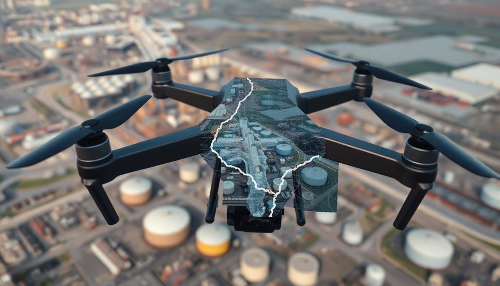
Once you've collected aerial imagery, the next crucial step involves processing and stitching the images together. This process transforms your raw data into a cohesive, high-resolution map of the industrial site. You'll need specialized photogrammetry software to handle this task effectively. These programs use complex algorithms to align and merge hundreds or thousands of individual photos into a single, seamless orthomosaic.
During the processing phase, you'll need to:
- Import your drone images and GPS data
- Adjust image parameters like exposure and color balance
- Set ground control points for increased accuracy
- Choose the desired output format (e.g., 2D map, 3D model)
The software will then analyze the images, identifying common points and overlapping areas. It'll use this information to stitch the photos together, creating a large-scale, geometrically correct representation of the site.
This process can be time-consuming, depending on the number of images and your computer's processing power. Once complete, you'll have a thorough aerial map that you can use for various industrial applications, such as site planning, asset management, and environmental monitoring.
Remember to review the final output for any inconsistencies or errors before proceeding to the next step.
Analyze and Interpret Results

Diving into the analysis phase, you'll need to carefully examine and interpret the results of your drone mapping project. Start by reviewing the orthomosaic map and 3D model generated from your stitched images. Look for areas of interest, potential hazards, or discrepancies between the map and your existing site data.
Next, use specialized software to extract valuable information from your drone data. Measure distances, calculate volumes, and assess elevation changes across the industrial site. Pay close attention to areas that may require maintenance or pose safety risks.
Compare your drone-generated map with historical data to identify changes over time. This can help you track erosion, vegetation growth, or structural modifications.
Don't forget to analyze the data's accuracy by checking ground control points and verifying key measurements on-site.
As you interpret the results, consider how they align with your project goals. Identify patterns, trends, or anomalies that could impact operations or future planning.
Create clear, concise reports highlighting key findings and actionable insights. Remember to include visual aids like annotated maps or 3D renderings to effectively communicate your results to stakeholders.
Frequently Asked Questions
What Types of Drones Are Best Suited for Industrial Site Mapping?
You'll want to use drones with high-quality cameras and GPS for accurate mapping. Consider fixed-wing drones for large areas or quadcopters for more detailed work. Look for models with long flight times and obstacle avoidance features.
How Often Should Industrial Sites Be Mapped to Maintain Up-To-Date Data?
You should map industrial sites quarterly for routine updates. However, you'll need more frequent mapping after major changes, construction, or incidents. Consider your site's dynamics and regulatory requirements to determine the ideal frequency for your situation.
Are There Specific Weather Conditions That Can Affect Drone Mapping Accuracy?
Yes, weather can impact your drone mapping accuracy. Wind, rain, and fog can affect flight stability and image quality. Extreme temperatures may reduce battery life. You'll get the best results on calm, clear days with good visibility.
What Safety Precautions Should Be Taken When Mapping Active Industrial Sites?
You'll need to wear protective gear, follow site safety protocols, and coordinate with site managers. Avoid active machinery areas, be aware of hazards, and maintain clear communication with ground staff. Don't forget to check for no-fly zones.
How Does Drone Mapping Compare to Traditional Surveying Methods in Terms of Cost?
You'll find drone mapping is often more cost-effective than traditional surveying. It's faster, requires fewer personnel, and can cover large areas quickly. However, upfront equipment costs may be higher, but you'll save money long-term.
In Summary
You've now learned the key steps to effectively map industrial sites using drones. By carefully planning your flight, selecting the right software, capturing high-quality imagery, processing the data, and analyzing the results, you'll be able to create accurate, detailed maps of complex industrial areas. Remember, practice makes perfect. As you gain experience, you'll refine your techniques and produce even better results. Keep exploring new technologies and methods to stay at the forefront of industrial drone mapping.
As educators and advocates for responsible drone use, we’re committed to sharing our knowledge and expertise with aspiring aerial photographers.


Leave a Reply