Flight planning tools are essential for successful drone mapping projects, revolutionizing how you capture and analyze aerial data. Top options include DroneDeploy, Pix4D, UgCS, Litchi, and DJI GS Pro, which offer features like automated flights, real-time monitoring, and advanced mission planning. Maps Made Easy provides a user-friendly web-based platform, while Precision Flight techniques focus on waypoint accuracy and autonomous control. DroneSense caters to public safety agencies, and Drone Deploy Map Engine offers extensive mapping solutions. These tools streamline your workflow, enhance data quality, and improve safety. Dive deeper to discover how each tool can elevate your mapping projects.
Key Takeaways
- DroneDeploy offers automated flights, real-time monitoring, and cloud-based processing for 3D models and volumetric measurements.
- Pix4D provides comprehensive photogrammetry tools with specialized modules for precision agriculture and stockpile measurements.
- UgCS features advanced mission planning with complex flight paths, 3D visualization, and support for various UAVs.
- DJI GS Pro enables complex flight paths with terrain awareness and 3D map previews for DJI drones.
- Drone Harmony includes 3D mission planning, terrain-aware flight automation, and collaborative features for team-based projects.
DroneDeploy
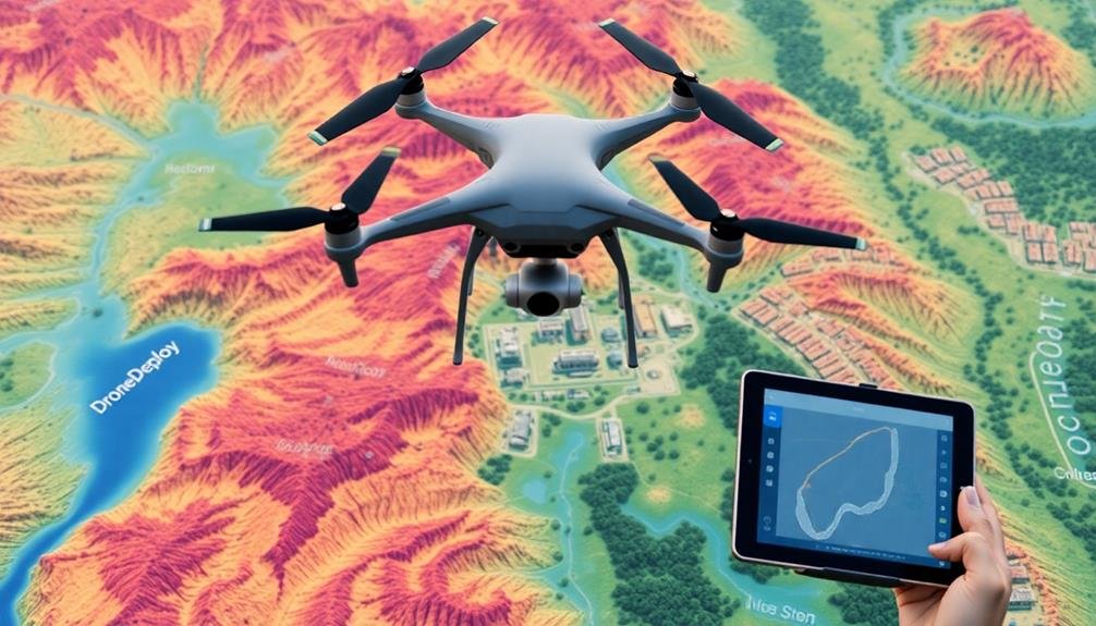
DroneDeploy stands out as one of the most popular flight planning tools for drone operators. It offers a detailed platform that streamlines your entire mapping workflow, from mission planning to data processing and analysis. You'll find its user-friendly interface intuitive, allowing you to create flight plans quickly and efficiently.
With DroneDeploy, you can set up automated flights, adjust flight parameters, and define your survey area with ease. The tool supports various drone models and provides real-time flight monitoring, ensuring you maintain control throughout your mission. It's particularly useful for large-scale mapping projects, as it can handle complex terrain and generate high-resolution orthomosaic maps.
One of DroneDeploy's strengths is its cloud-based processing capabilities. You can upload your data directly from the field and access powerful analysis tools to generate 3D models, elevation maps, and volumetric measurements.
The platform also offers collaboration features, allowing you to share your projects with team members or clients.
DroneDeploy integrates with other industry-standard software, enhancing its versatility for different applications. Whether you're in agriculture, construction, or surveying, you'll find DroneDeploy's features tailored to meet your specific mapping needs.
Pix4D
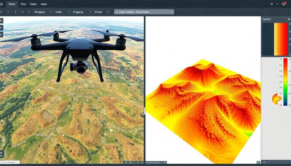
While DroneDeploy offers an extensive solution, Pix4D provides another powerful option for drone mapping and photogrammetry. You'll find Pix4D to be a thorough software suite that covers various aspects of drone-based mapping and 3D modeling. It's widely used in industries such as agriculture, construction, and surveying.
With Pix4D, you can plan your drone flights efficiently, ensuring ideal image capture for your mapping projects. The software allows you to define flight parameters, including altitude, overlap, and camera settings. You'll appreciate its user-friendly interface and the ability to create custom flight patterns for complex terrains.
Pix4D excels in processing the collected data. It uses advanced algorithms to stitch images together, create orthomosaic maps, and generate 3D models. You can expect high accuracy in your results, with options for georeferencing and ground control points.
The software also offers specialized modules for specific applications. For instance, you'll find tools tailored for precision agriculture, stockpile measurements, and building inspections.
Pix4D's cloud-based processing capabilities allow you to handle large datasets without straining your local resources.
UgCS
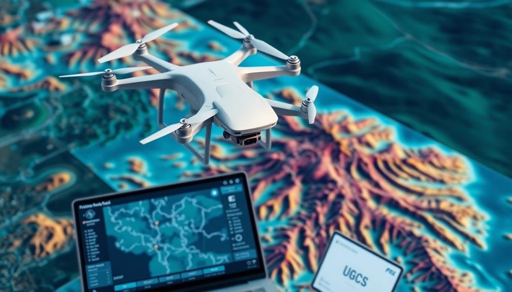
In recent years, UgCS has emerged as a versatile flight planning software for various unmanned aerial vehicles (UAVs). You'll find it particularly useful for mapping projects, as it supports a wide range of drones and sensors. UgCS offers advanced mission planning capabilities, allowing you to create complex flight paths with multiple waypoints, altitude changes, and camera actions.
One of UgCS's standout features is its 3D visualization of flight plans. You can import elevation data and see how your drone will navigate terrain, ensuring ideal coverage and safety. The software also provides tools for calculating ground sampling distance, helping you achieve the desired image resolution.
UgCS supports both online and offline operation, making it suitable for remote areas without internet connectivity. You'll appreciate its compatibility with various map providers and the ability to import custom maps.
For mapping projects, UgCS offers specific tools like the photogrammetry tool and area scan. These features help you plan efficient survey missions, ensuring complete coverage of your target area. The software also allows for mission simulation, letting you test your flight plan before actual execution.
Litchi
Litchi offers powerful automated flight path capabilities for your drone missions.
You'll find intuitive waypoint mission planning tools that allow you to create complex flight routes with ease.
Whether you're capturing aerial imagery or conducting surveys, Litchi's features enable you to execute precise flight patterns and automated camera controls.
Automated Flight Paths
Efficiency takes flight with Litchi's automated flight path feature. You'll find this tool invaluable for mapping projects, as it allows you to pre-plan your drone's route with precision.
Using Litchi's intuitive interface, you can set waypoints, adjust altitude, and define camera actions for each leg of the flight.
You'll appreciate the ability to create complex flight paths with ease. Litchi lets you program multiple waypoints, enabling your drone to cover large areas systematically.
You can also fine-tune your flight by setting specific speeds between waypoints and adjusting the drone's heading at each stop.
For mapping projects, you'll find the curve flight mode particularly useful. It allows for smooth shifts between waypoints, ensuring consistent image overlap for accurate map stitching.
You can also set up point of interest (POI) missions, where the drone orbits a central point while keeping the camera focused on it.
Litchi's automated flight paths integrate seamlessly with various mapping software, streamlining your workflow from planning to execution.
You'll save time and capture more consistent data, ultimately producing higher-quality maps and 3D models.
Waypoint Mission Planning
A cornerstone of Litchi's flight planning capabilities, waypoint mission planning empowers you to create detailed, customized flight paths for your drone.
You'll be able to set specific points in 3D space for your drone to follow, ensuring precise control over its movements and the resulting imagery.
With Litchi, you can define waypoints by tapping on a map or inputting exact coordinates. For each waypoint, you'll have the option to adjust altitude, heading, and speed.
This level of control allows you to tailor your flight path to the unique requirements of your mapping project.
You can also add actions at each waypoint, such as taking photos, recording video, or rotating the gimbal.
This feature enables you to capture the exact shots you need without manual intervention during the flight.
Litchi's mission planning interface is intuitive, allowing you to easily add, delete, or reorder waypoints.
You can save your missions for future use or share them with team members.
The app also provides a simulation mode, letting you preview your planned flight before launching your drone.
DJI GS Pro
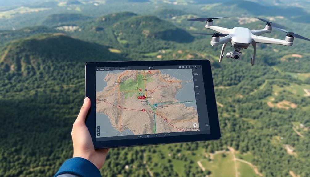
DJI GS Pro stands out as a powerful flight planning tool for professional drone operators. It's designed specifically for DJI drones, offering seamless integration with their hardware. You'll find it particularly useful for mapping, photogrammetry, and inspection missions.
With GS Pro, you can create complex flight paths using various mission types. The app allows you to set waypoints, adjust flight parameters, and define camera actions. You'll appreciate its user-friendly interface and real-time flight data display.
Here's a quick overview of GS Pro's key features:
| Feature | Description | Benefit |
|---|---|---|
| Terrain Awareness | Adjusts flight altitude based on terrain | Safer flights over uneven ground |
| 3D Map Preview | Visualize flight path in 3D | Better mission planning and execution |
| Virtual Fence | Set flight boundaries | Guarantees compliance with regulations |
GS Pro's ability to save and share mission plans streamlines your workflow, especially for repeat missions. You can also import KML files for precise area mapping. While it's a robust tool, remember it's limited to DJI drones. If you're using other brands, you'll need to explore alternative options.
Drone Harmony
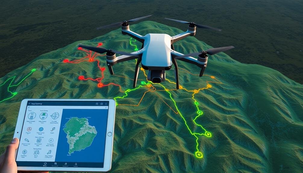
Drone Harmony offers you intuitive 3D mission planning capabilities, allowing you to visualize and design complex flight paths with ease.
You'll find terrain-aware flight automation features that automatically adjust your drone's altitude to maintain a consistent distance from the ground or structures.
These tools enable you to create efficient, safe, and precise flight plans for various applications, from inspections to mapping projects.
Intuitive 3D Mission Planning
Intuitive 3D mission planning has revolutionized drone operations, and Drone Harmony stands at the forefront of this technology. With its user-friendly interface, you can easily create complex flight plans in a virtual 3D environment. This tool allows you to visualize your mission before takeoff, guaranteeing ideal coverage and efficiency.
You'll find Drone Harmony's terrain-aware flight planning particularly useful for mapping projects in challenging landscapes. It automatically adjusts flight paths to maintain a consistent distance from the ground, even in areas with notable elevation changes. This feature assures consistent data quality across your entire survey area.
The software's obstacle avoidance capabilities are another standout feature. You can import 3D models of structures or use built-in object libraries to guarantee your drone safely navigates around potential hazards. This is especially valuable when planning missions in urban environments or near tall structures.
Drone Harmony also offers collaborative features, allowing you to share flight plans with team members and stakeholders. You can make real-time adjustments and sync plans across devices, streamlining your workflow and improving communication.
With its powerful 3D visualization and planning tools, Drone Harmony remarkably enhances the efficiency and safety of your mapping projects.
Terrain-Aware Flight Automation
Building on the 3D mission planning capabilities, Drone Harmony's terrain-aware flight automation takes drone operations to new heights. This feature allows you to create flight plans that automatically adapt to the terrain, ensuring safe and efficient missions in complex environments.
You'll find that the software uses digital elevation models (DEMs) to analyze the topography of your project area. It then generates flight paths that maintain a consistent altitude above ground level, even in areas with significant elevation changes. This approach reduces the risk of collisions and improves data quality by maintaining ideal camera angles and distances from the subject.
The terrain-aware automation also enhances your flight patterns for maximum coverage and efficiency. It calculates the most effective routes to capture all required data while minimizing flight time and battery usage. You can easily adjust parameters like overlap, camera settings, and flight speed to fine-tune your mission.
Additionally, the system accounts for obstacles and no-fly zones, automatically routing your drone around these areas. This intelligent automation saves you time in planning and execution while enhancing the safety and effectiveness of your mapping projects.
Maps Made Easy
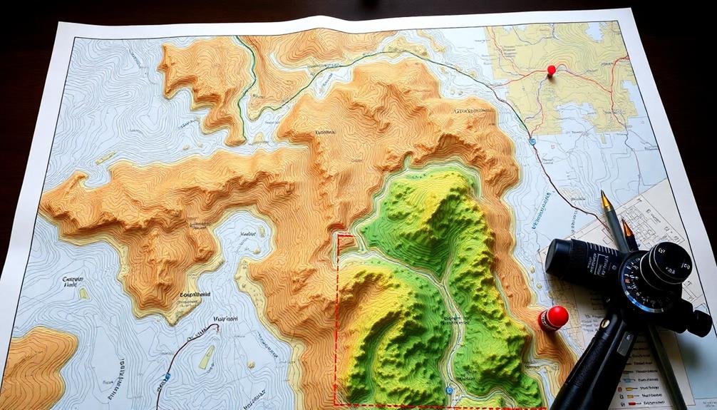
In light of the growing demand for aerial mapping solutions, Maps Made Easy stands out as a user-friendly platform. This web-based tool offers a thorough suite of features designed to simplify your aerial mapping projects.
You'll find that it seamlessly integrates with various drone models, allowing you to plan flights, capture imagery, and process data all in one place.
When you're ready to start your project, Maps Made Easy guides you through creating flight plans optimized for mapping. You can easily define your area of interest, set flight parameters, and adjust overlap settings to guarantee complete coverage.
The platform's intuitive interface lets you visualize your planned route and make real-time adjustments as needed.
Once you've collected your aerial imagery, Maps Made Easy's powerful processing capabilities come into play. You can upload your photos directly to the platform, where they're stitched together to create high-resolution orthomosaic maps and 3D models.
The tool also offers advanced features like volume calculations and change detection, making it valuable for applications in construction, agriculture, and environmental monitoring.
With its cloud-based infrastructure, you can access your projects and processed maps from anywhere, facilitating collaboration and data sharing among team members.
Precision Flight
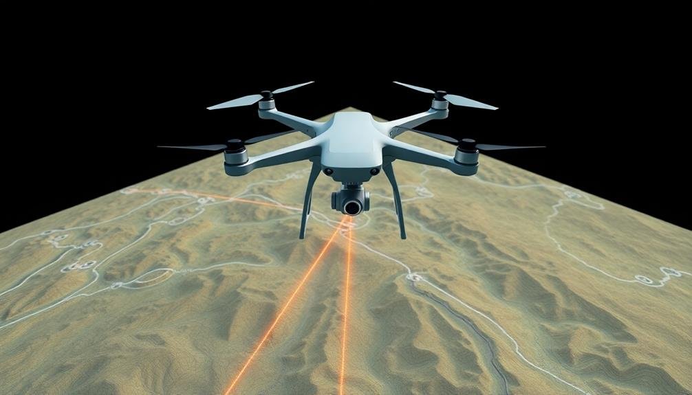
You'll find that precision flight relies heavily on waypoint accuracy optimization and autonomous flight control.
By fine-tuning your waypoints, you're ensuring your drone follows the most efficient and accurate path possible.
Autonomous flight control systems take this precision to the next level, executing complex maneuvers and maintaining steady flight paths with minimal human intervention.
Waypoint Accuracy Optimization
Precision flight demands meticulous waypoint accuracy optimization. To achieve this, you'll need to focus on several key factors.
First, make sure your GPS receiver is of high quality and properly calibrated. This will greatly reduce positional errors and improve overall accuracy.
Next, consider the terrain and obstacles in your flight path. Adjust your waypoints to account for elevation changes and potential obstructions. You'll want to maintain a safe distance from these while still adhering to your planned route.
Pay attention to wind conditions and adjust your waypoints accordingly. Strong winds can affect your drone's ability to maintain its course, so compensate by slightly offsetting waypoints in the direction opposite the wind.
Use advanced flight planning software that allows for fine-tuning of waypoint placement. These tools often provide visual representations of your flight path, making it easier to identify and correct potential issues.
Don't forget to set appropriate tolerances for waypoint capture. This guarantees your drone doesn't waste time and battery life trying to reach an exact point if slight deviations are acceptable for your project.
Autonomous Flight Control
Mastery of autonomous flight control is essential for achieving precision in drone operations. When you're planning mapping projects, you'll want to leverage tools that offer robust autonomous flight capabilities. These features allow your drone to execute complex flight paths with minimal human intervention, ensuring consistent data collection and reducing pilot fatigue.
Look for flight planning software that includes waypoint-based mission planning, allowing you to create precise flight paths tailored to your project's needs. You'll want options for adjusting flight speed, altitude, and camera settings at each waypoint.
Advanced tools offer terrain-following capabilities, enabling your drone to maintain a constant height above ground level in varied topography.
Don't overlook the importance of obstacle avoidance systems. The best autonomous flight control tools integrate with your drone's sensors to detect and navigate around unexpected obstacles. This feature is vital for maintaining safety and data integrity during long mapping missions.
DroneSense
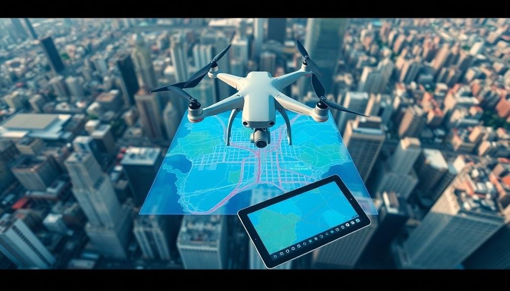
DroneSense revolutionizes flight planning for unmanned aerial vehicles (UAVs) with its extensive software platform. It's designed to streamline operations for public safety agencies, offering a thorough suite of tools for mission planning, live video streaming, and data management. You'll find its user-friendly interface particularly helpful when coordinating complex drone operations.
With DroneSense, you can create detailed flight plans, set waypoints, and define no-fly zones. The platform's real-time situational awareness feature allows you to monitor multiple drones simultaneously, enhancing team coordination and safety. You'll appreciate the ability to integrate various data sources, including weather information and airspace restrictions, directly into your flight plans.
DroneSense's cloud-based architecture guarantees that your data is securely stored and easily accessible across devices. You can generate thorough mission reports, track pilot hours, and manage equipment maintenance schedules all within the platform.
The software's adaptability means it can integrate with your existing systems, making it a versatile choice for various mapping projects. Whether you're conducting search and rescue operations or surveying large areas, DroneSense provides the tools you need to plan and execute efficient, compliant drone flights.
Drone Deploy Map Engine

When you're looking for an extensive mapping solution, Drone Deploy's Map Engine stands out as a powerful tool in the flight planning arsenal. This cloud-based platform offers a thorough suite of features designed to streamline your mapping projects from start to finish.
With Drone Deploy's Map Engine, you'll have access to advanced flight planning capabilities that allow you to create detailed mission plans for various mapping scenarios. You can easily set flight parameters, define survey areas, and adjust overlap settings to guarantee peak data collection.
The platform's intuitive interface makes it simple to plan complex missions, even for novice drone pilots.
One of Drone Deploy's standout features is its real-time mapping capability. As your drone flies, you'll see the map being generated in real-time, allowing you to make on-the-spot adjustments if necessary.
After your flight, the Map Engine processes your data quickly, producing high-quality orthomosaics, 3D models, and elevation maps.
You'll appreciate the platform's collaborative features, which enable team members to share and analyze data seamlessly.
With its robust reporting tools and integration options, Drone Deploy's Map Engine helps you transform raw drone data into actionable insights for your mapping projects.
Frequently Asked Questions
How Do Flight Planning Tools Integrate With Different Drone Hardware Manufacturers?
You'll find that flight planning tools often integrate with various drone manufacturers through APIs or SDKs. They'll connect to your drone's specific firmware, allowing you to plan missions, set waypoints, and control flight parameters seamlessly.
What Are the Typical Costs Associated With Professional Flight Planning Software?
You'll find professional flight planning software costs vary widely. You can expect to pay anywhere from $50 to $500 per month, depending on features. Some offer free trials, while others have one-time purchase options available.
Can These Tools Be Used for Indoor Mapping Projects?
You'll find that most flight planning tools aren't designed for indoor mapping. They're primarily for outdoor use. However, you can adapt some software for indoor projects, or look into specialized indoor mapping solutions instead.
Are There Open-Source Alternatives to the Commercial Flight Planning Tools Mentioned?
Yes, you'll find several open-source alternatives for flight planning. Options like Mission Planner, QGroundControl, and UgCS are popular among drone enthusiasts. They're free, customizable, and offer many features comparable to commercial tools.
How Do Weather Conditions Affect the Accuracy of Mapped Data?
Weather conditions can greatly impact your mapped data's accuracy. You'll find that wind, rain, and clouds can affect drone stability, camera performance, and GPS signals. Always consider these factors when planning your mapping flights.
In Summary
You've now got a solid overview of top flight planning tools for your mapping projects. Whether you're a pro or hobbyist, there's an option to suit your needs. Don't hesitate to try out a few to find the best fit. Remember, the right tool can make all the difference in efficiency and quality. Keep exploring, stay updated on new features, and you'll be well-equipped to tackle any drone mapping challenge that comes your way.

As educators and advocates for responsible drone use, we’re committed to sharing our knowledge and expertise with aspiring aerial photographers.



Leave a Reply