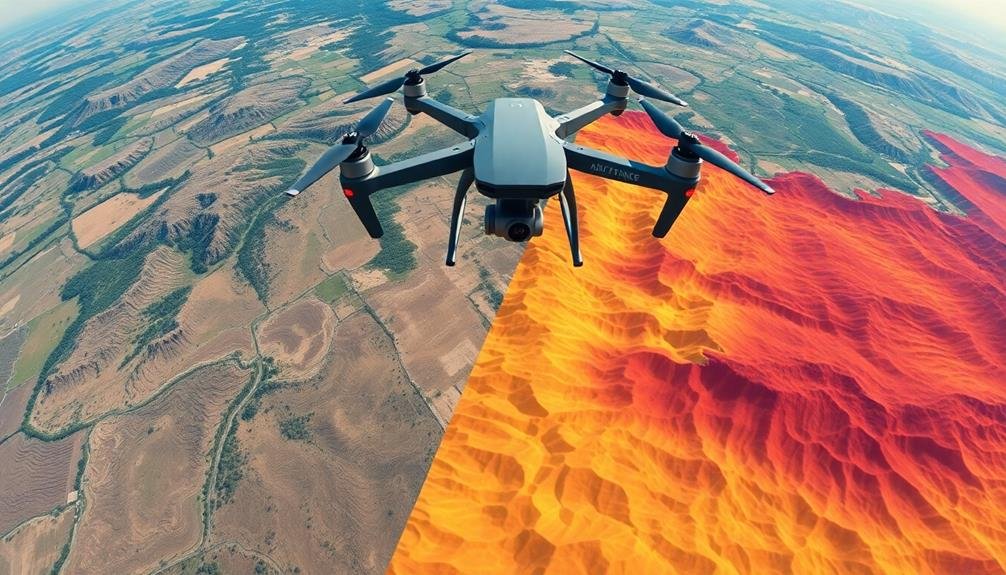
To achieve stunning aerial mapping results, you'll need to master five essential techniques. Start with a grid flight pattern for systematic coverage. Next, optimize your altitude and image overlap to balance resolution and efficiency. Fine-tune your camera settings for crystal-clear imagery, focusing on shutter speed, ISO, and aperture. Incorporate ground control points to enhance accuracy and georeferencing. Finally, select the right post-processing software to transform your raw data into valuable insights. By mastering these techniques, you'll elevate your aerial mapping game and produce professional-grade results. Dive deeper to reveal the full potential of each method and take your mapping skills to new heights.
Key Takeaways
- Implement a systematic grid flight pattern with appropriate waypoints for consistent image overlap.
- Optimize flight altitude and camera settings to achieve ideal ground sampling distance and image clarity.
- Ensure sufficient image overlap, typically 75-80% frontal and 60-70% side, adjusting for terrain complexity.
- Strategically place and accurately measure ground control points for enhanced georeferencing and accuracy.
- Select appropriate post-processing software that balances powerful features with ease of use for your project needs.
Grid Flight Pattern

When planning an aerial mapping mission, the grid flight pattern is often the go-to choice for thorough coverage. This systematic approach involves flying your drone in parallel lines across the entire area of interest, creating a grid-like pattern.
You'll set waypoints to guide your drone's path, ensuring consistent overlap between images for seamless stitching later.
To execute a grid flight pattern effectively, you'll need to take into account several factors. First, determine the appropriate altitude for your mission based on the desired ground sampling distance and camera specifications.
Next, calculate the ideal spacing between flight lines to achieve the necessary image overlap, typically 60-80% front overlap and 70-80% side overlap.
You'll also want to factor in wind conditions, adjusting your flight direction to minimize its impact on image quality. Flying perpendicular to the wind can help maintain a steady speed and reduce motion blur.
Don't forget to set your camera to interval mode, capturing images at regular intervals as the drone moves along its predetermined path.
Optimal Altitude and Overlap

Determining the ideal altitude and overlap for your aerial mapping mission is essential to producing high-quality results. When choosing your flight altitude, consider the resolution you need and your drone's camera capabilities. Lower altitudes provide higher resolution but require more flight time and battery power. Higher altitudes cover more ground but may sacrifice detail.
For most mapping projects, aim for a ground sampling distance (GSD) between 1-5 cm/pixel. Calculate this using your camera's sensor size and focal length.
As for overlap, you'll want to guarantee sufficient image redundancy for accurate stitching. Aim for 75-80% frontal overlap and 60-70% side overlap. This high overlap compensates for any GPS inaccuracies and helps create a more cohesive final map.
You'll need to adjust these parameters based on your specific project requirements and environmental conditions. For example, you might increase overlap in areas with complex terrain or dense vegetation.
Always check local regulations regarding maximum flight altitudes. Remember, finding the right balance between altitude and overlap is vital for creating precise, detailed aerial maps while maximizing efficiency in the field.
Camera Settings for Clarity

Once you've determined your flight parameters, it's crucial to optimize your camera settings for the clearest possible aerial imagery.
Start by setting your camera to manual mode, giving you full control over exposure. Choose a fast shutter speed, typically 1/1000th of a second or faster, to minimize motion blur. Set your ISO as low as possible while maintaining proper exposure, usually between 100-400, to reduce noise in your images.
Select an appropriate aperture to balance depth of field and image sharpness. For most aerial mapping, an f-stop between f/4 and f/8 works well. Use your camera's histogram to verify proper exposure, aiming for a balanced distribution without clipping highlights or shadows.
To capture the sharpest possible images:
- Enable your camera's electronic front-curtain shutter to reduce vibration-induced blur
- Use a fixed focal length lens to eliminate zoom-related distortions
- Disable image stabilization, as it can sometimes introduce unwanted blur during continuous shooting
Remember to shoot in RAW format to preserve maximum image data for post-processing.
Ground Control Points

Ground control points (GCPs) are essential for ensuring the accuracy and georeferencing of your aerial mapping project. These are marked points on the ground with known coordinates that serve as reference points for aligning and scaling your aerial imagery.
To effectively use GCPs, you'll need to distribute them evenly across your survey area, focusing on the corners and edges.
When placing GCPs, choose locations that are easily visible from the air and contrast well with their surroundings. Use durable materials like painted plywood or specialized targets that can withstand weather conditions.
Measure the coordinates of each GCP using high-precision GPS equipment for the best results.
You'll typically need at least five GCPs for a small project, but more complex or larger areas may require additional points.
Remember to document the exact location and appearance of each GCP for later reference during post-processing.
Post-Processing Software Selection

After collecting your aerial imagery and GCP data, you'll need to select the right post-processing software to transform your raw data into usable maps and models.
Consider factors like your project requirements, budget, and technical expertise when choosing software. Popular options include Pix4D, Agisoft Metashape, and DroneDeploy, each offering unique features and workflows.
Look for software that supports your specific drone model and camera, ensuring seamless integration with your hardware.
Pay attention to the processing capabilities, such as orthomosaic generation, digital surface model creation, and 3D point cloud generation. Advanced features like automatic tie point detection and bundle adjustment can greatly improve your results.
When evaluating post-processing software, keep these emotional factors in mind:
- Excitement: The thrill of seeing your raw data transform into stunning, high-resolution maps
- Confidence: The reassurance of using industry-standard tools trusted by professionals
- Satisfaction: The pride in delivering accurate, visually appealing results to your clients
Don't overlook the importance of user interface and learning curve.
Choose software that balances powerful features with ease of use, allowing you to focus on producing high-quality aerial mapping products efficiently.
Frequently Asked Questions
How Does Weather Affect Aerial Mapping Quality?
Weather greatly impacts your aerial mapping quality. You'll find that rain, fog, and strong winds can obstruct visibility and affect image clarity. Bright sunlight may cause glare, while cloud cover can alter lighting conditions and color accuracy.
What Licensing or Permits Are Required for Commercial Aerial Mapping?
You'll need a commercial drone license from the FAA (Part 107 certification) for aerial mapping. You may also require local permits, airspace authorizations, and property owner permissions depending on your specific project and location.
Can Aerial Mapping Be Done at Night or in Low-Light Conditions?
Yes, you can perform aerial mapping at night or in low-light conditions. You'll need specialized equipment like thermal cameras or LiDAR sensors. It's challenging but offers unique data. Remember to follow local regulations for night flights.
How Often Should Drone Equipment Be Maintained for Optimal Mapping Performance?
You should maintain your drone equipment regularly, ideally after every flight. Clean it, check for damage, and update software weekly. For best mapping performance, conduct thorough inspections monthly and replace parts as needed. Don't neglect batteries!
What Are the Legal Implications of Capturing Images of Private Property?
You'll need to be cautious when capturing images of private property. It's crucial to obtain permission, respect privacy laws, and avoid trespassing. Always research local regulations to guarantee you're operating within legal boundaries.
In Summary
You've now got the essential techniques for capturing stunning aerial maps. By mastering grid flight patterns, optimizing altitude and overlap, fine-tuning your camera settings, using ground control points, and selecting the right post-processing software, you'll create high-quality results. Remember, practice makes perfect. Don't be afraid to experiment and refine your approach. With these tools in your arsenal, you're well-equipped to take your aerial mapping skills to new heights. Happy flying!
As educators and advocates for responsible drone use, we’re committed to sharing our knowledge and expertise with aspiring aerial photographers.


Leave a Reply